Elevation of Bird Spring Rd, Decatur, AL, USA
Location: United States > Alabama > Morgan County > Decatur >
Longitude: -87.016659
Latitude: 34.514385
Elevation: 226m / 741feet
Barometric Pressure: 99KPa
Elevation Map:
Satellite Map:
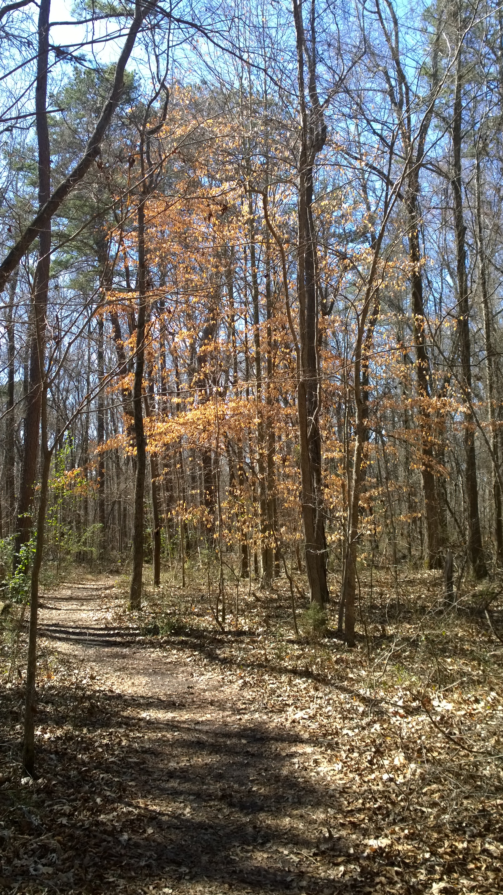
Related Photos:
View from my table - Big Bob Gibson's #Barbecue, #Decatur, #Alabama -
on the way to church
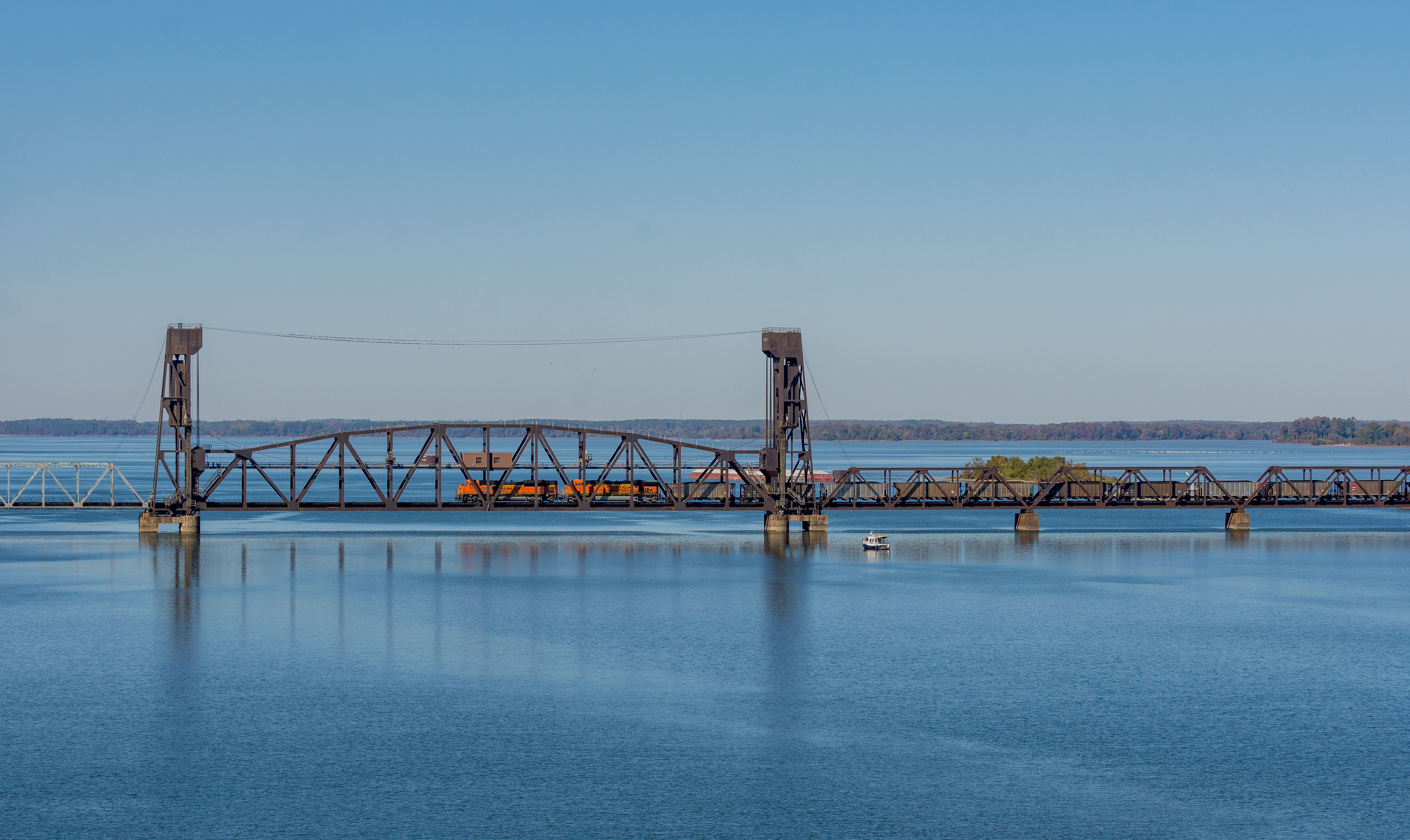
736 Decatur Alabama Tennessee River

Flash lily - Best if viewed LARGE
NS 325
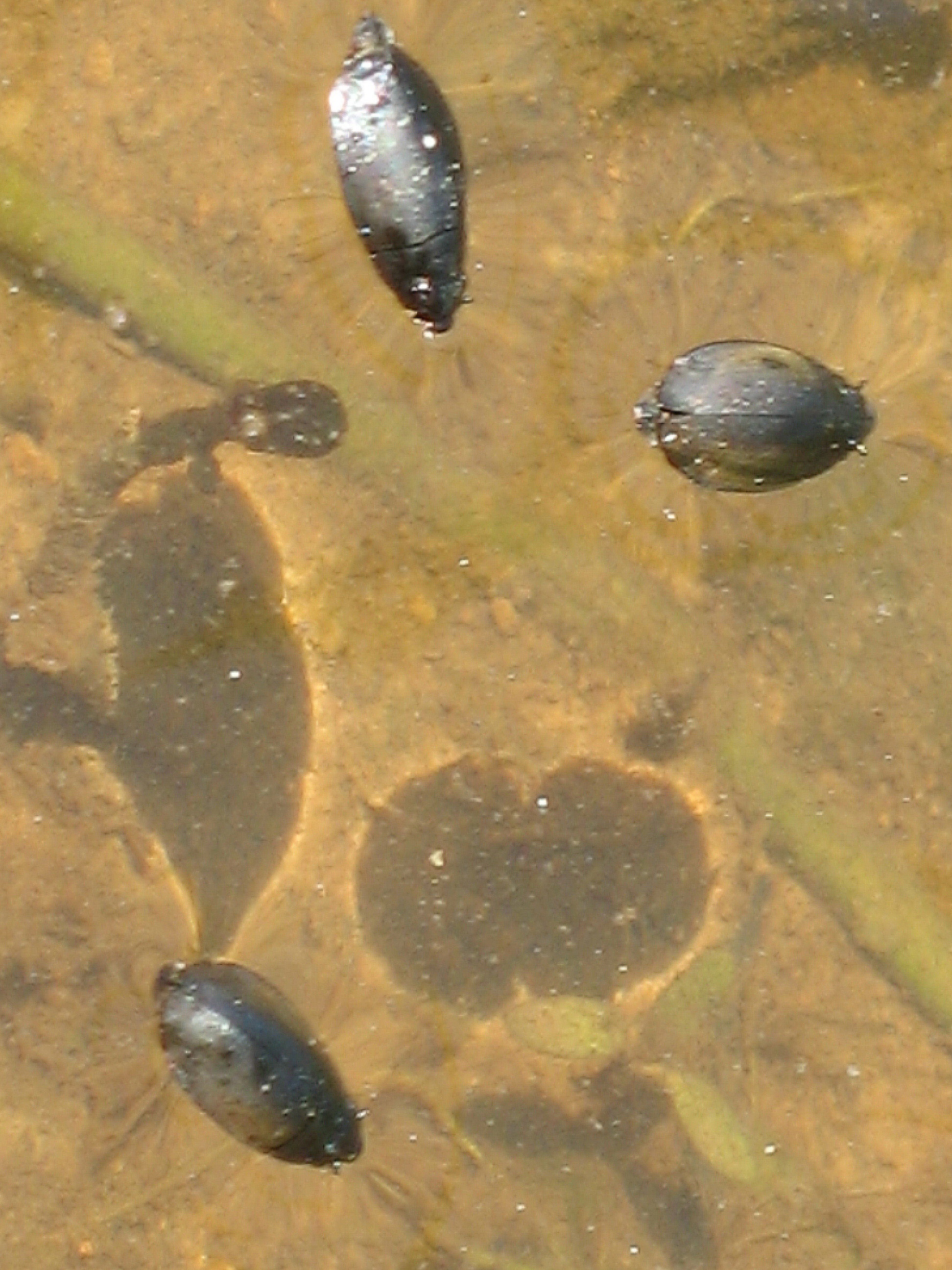
trio of water beetles
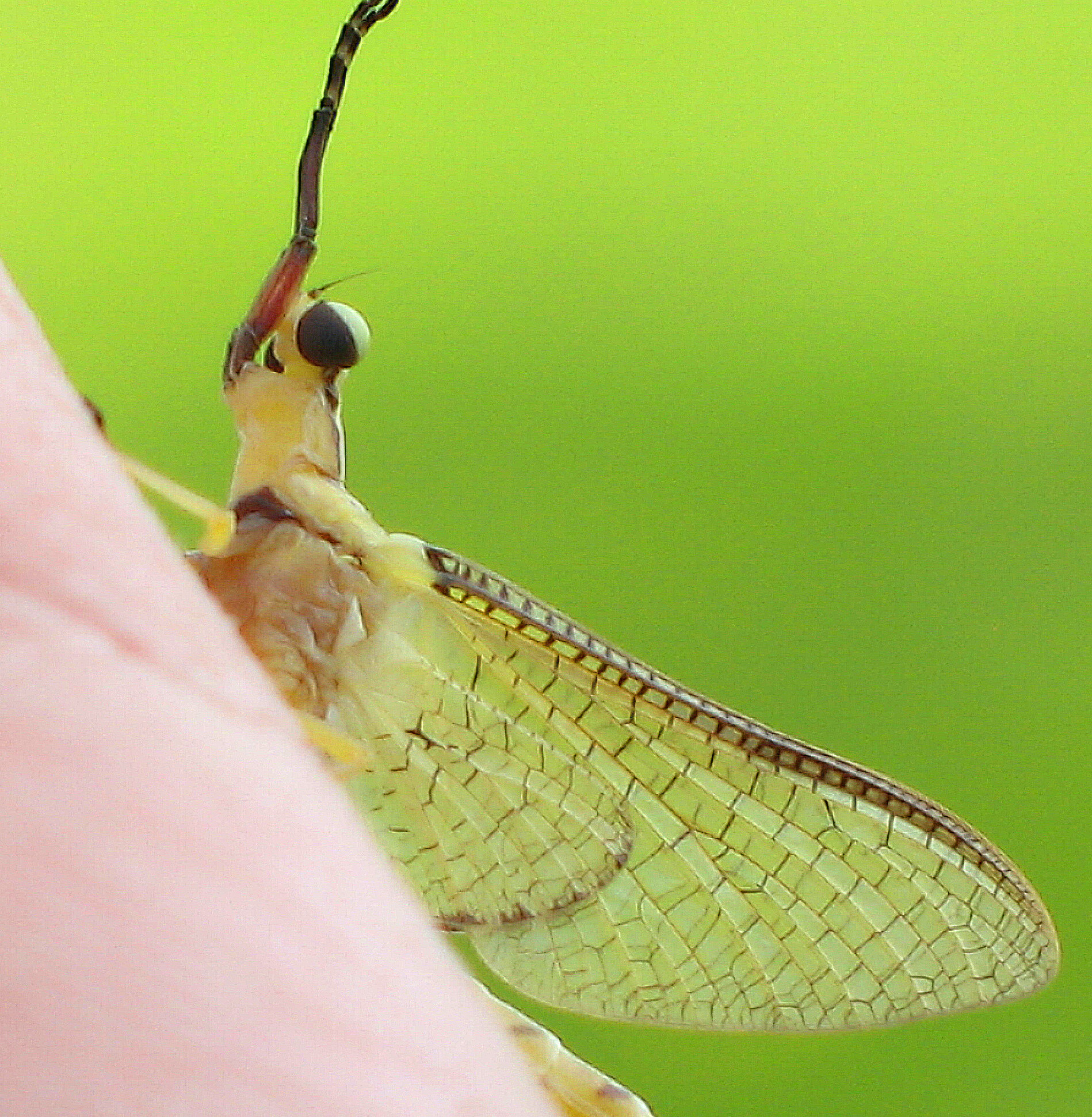
Mayfly of genus Hexagenia (subimago) 3
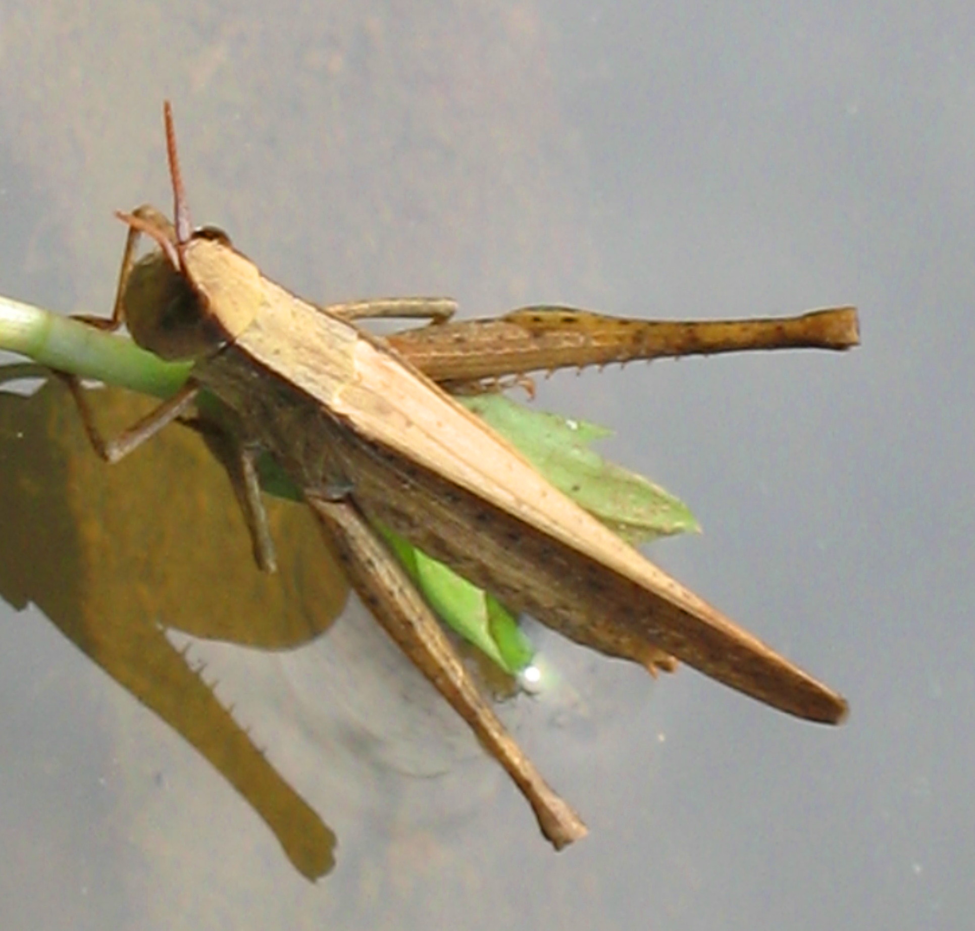
Clip-wing Grasshopper - Metaleptea brevicornis
NABT-19-2
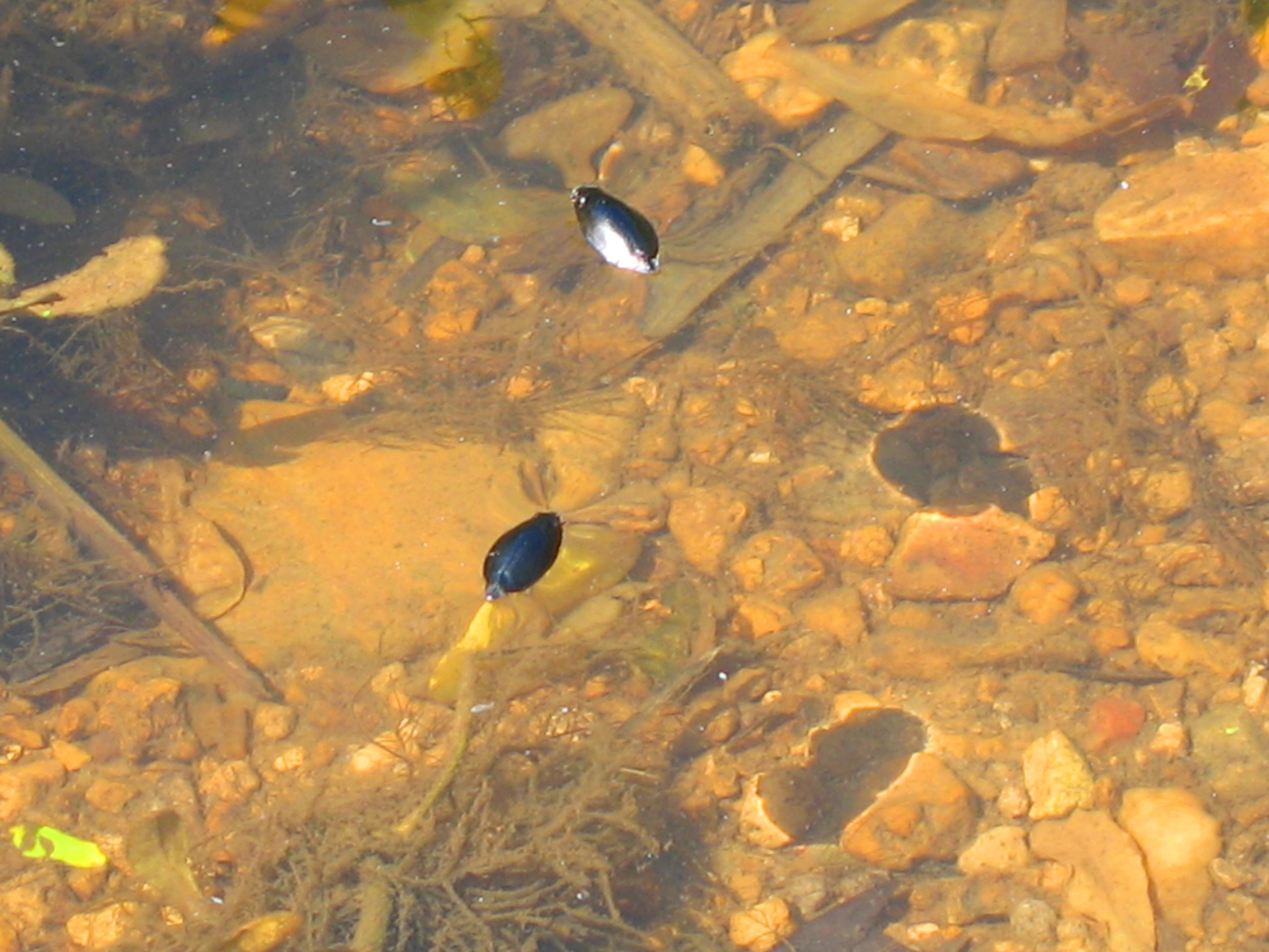
two water beetles
Baldcypress - Taxodium distichum

IMG_0219-1
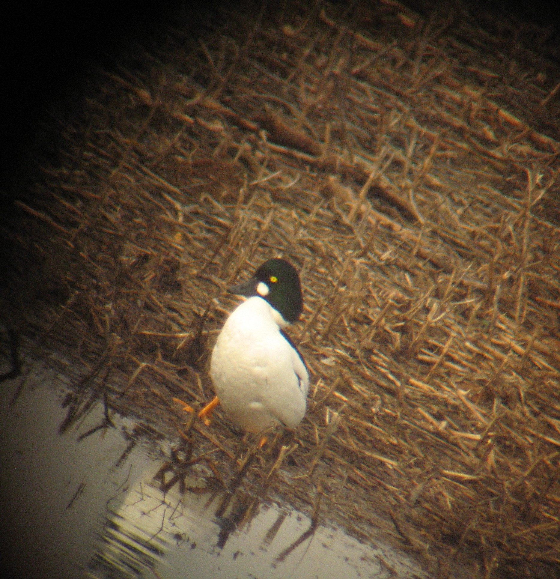
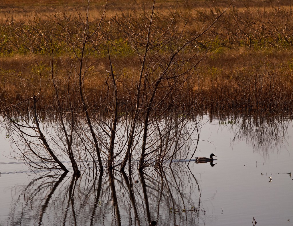
Common Goldeneye on land

Zebra Swallowtail - Eurytides marcellus
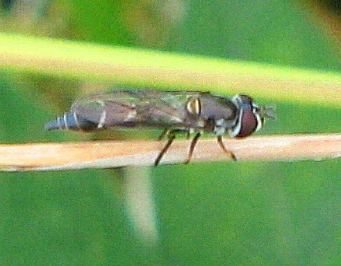
Pseudodoros clavatus
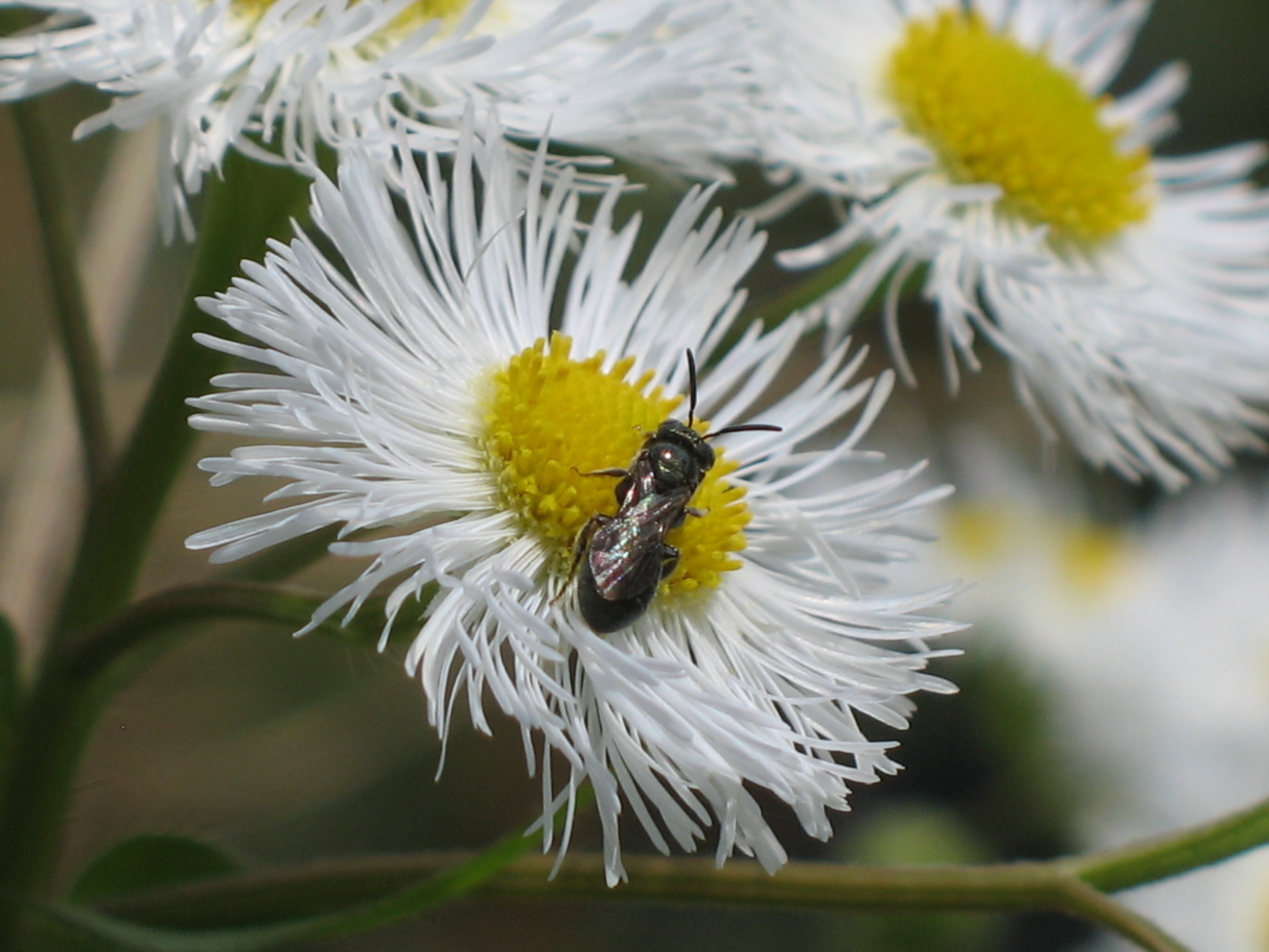
Small Carpenter Bee - Ceratina sp. subgenus Zadontomerus
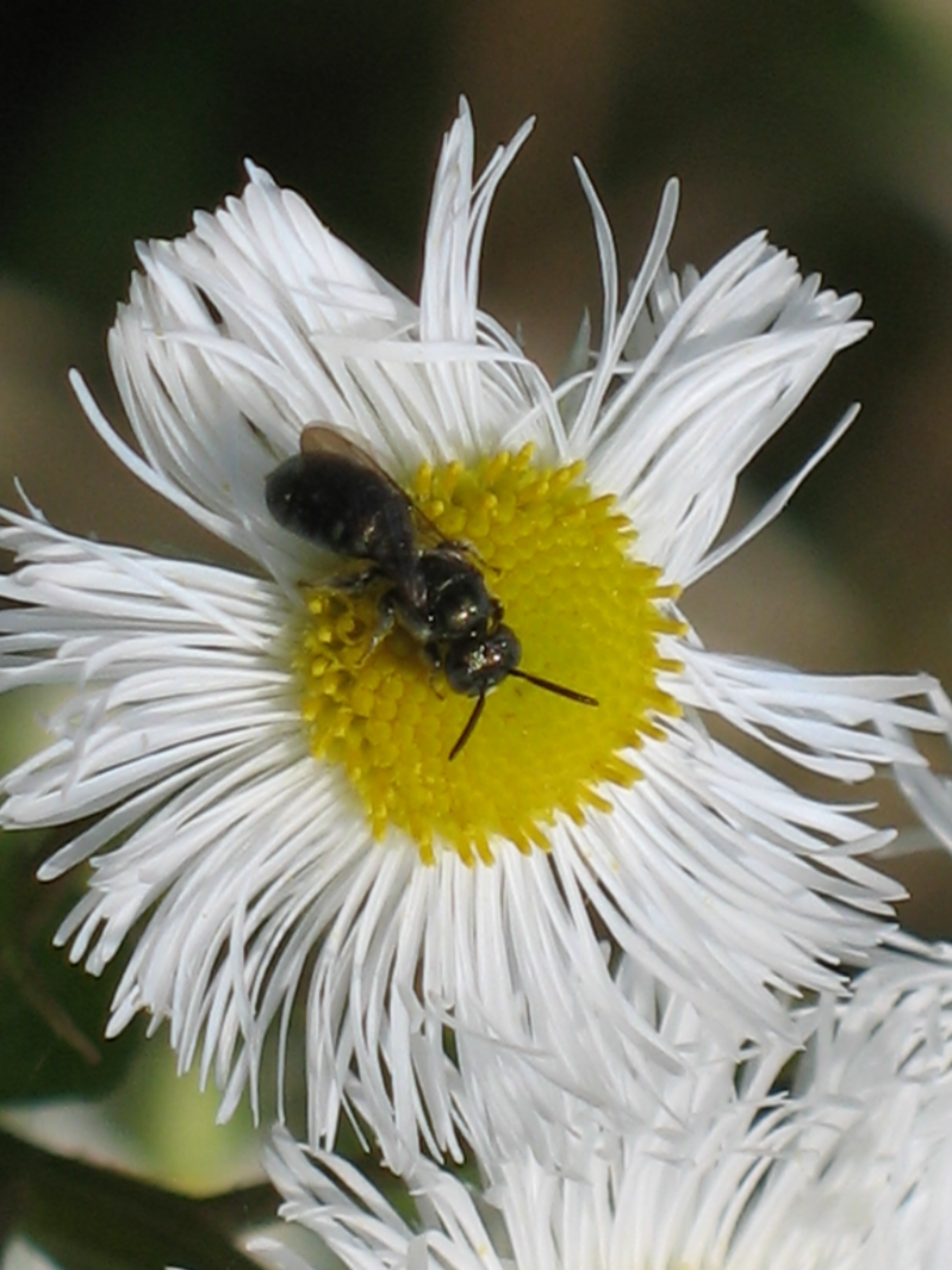
Small Carpenter Bee - Ceratina sp. subgenus Zadontomerus
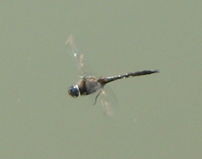
Common Baskettail - Epitheca cynosura

Tennessee River
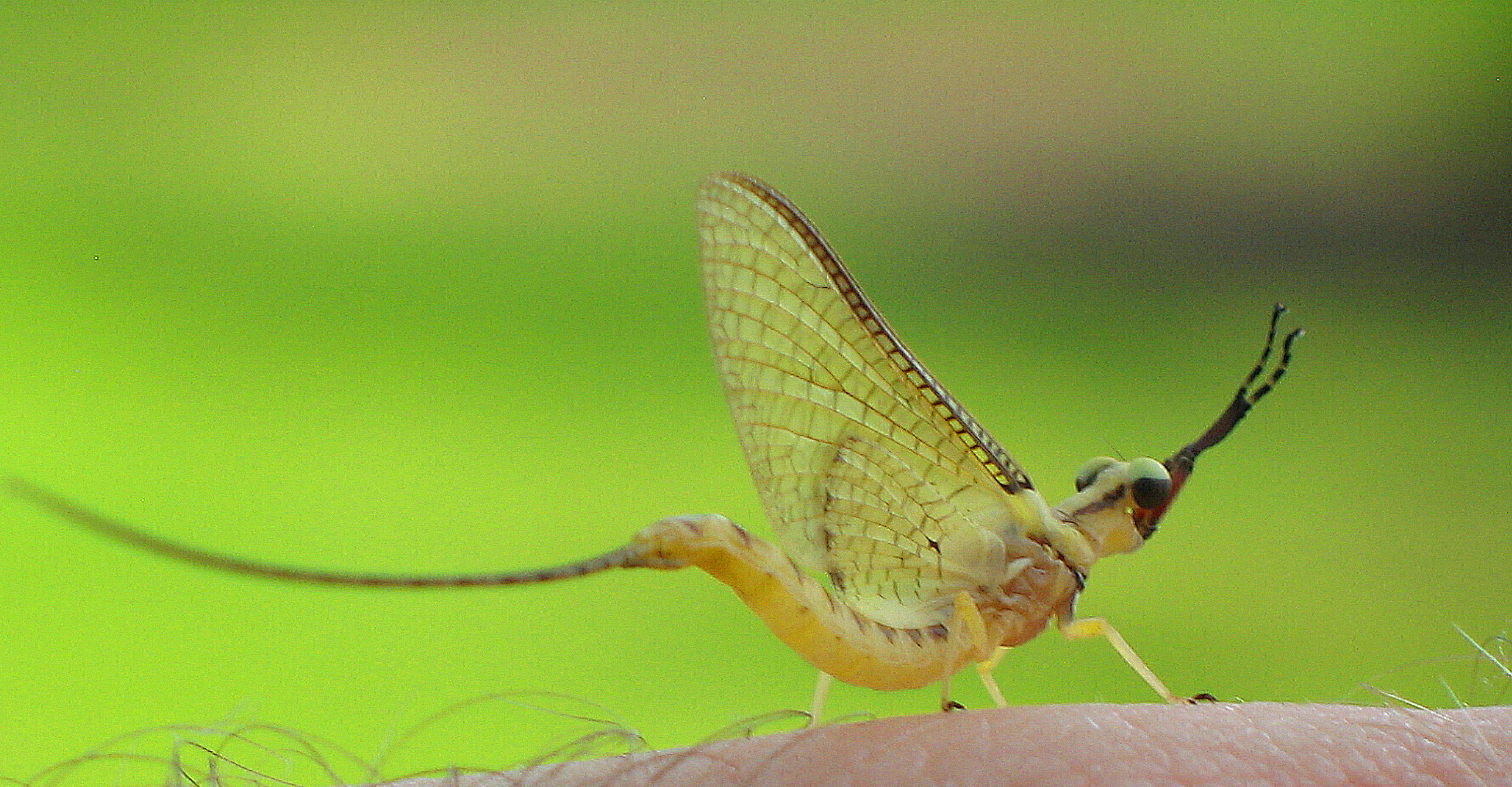
Mayfly of genus Hexagenia (subimago) 2
Umbrella Magnolia - Magnolia tripetala

Delano Park Bridge Study I
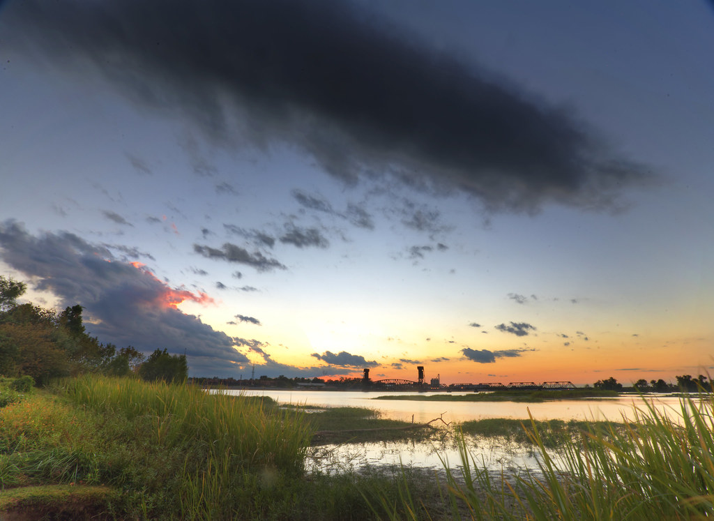
Decatur Sunset
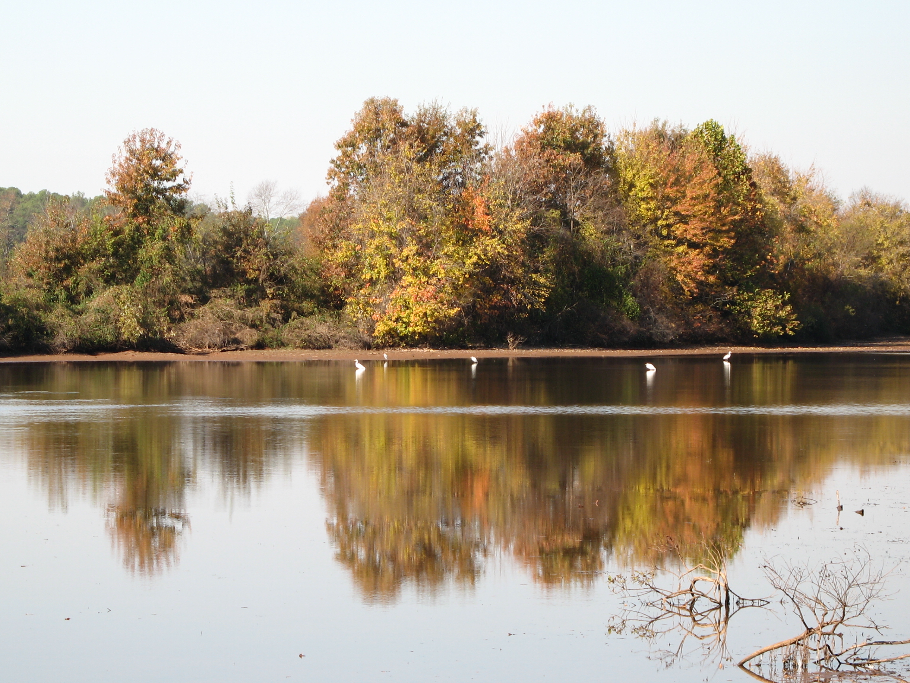
Egrets in fall reflections

a blissful sunset - calmness..tranquility..

CSX Sunset

Sunlit Pink Something or Others
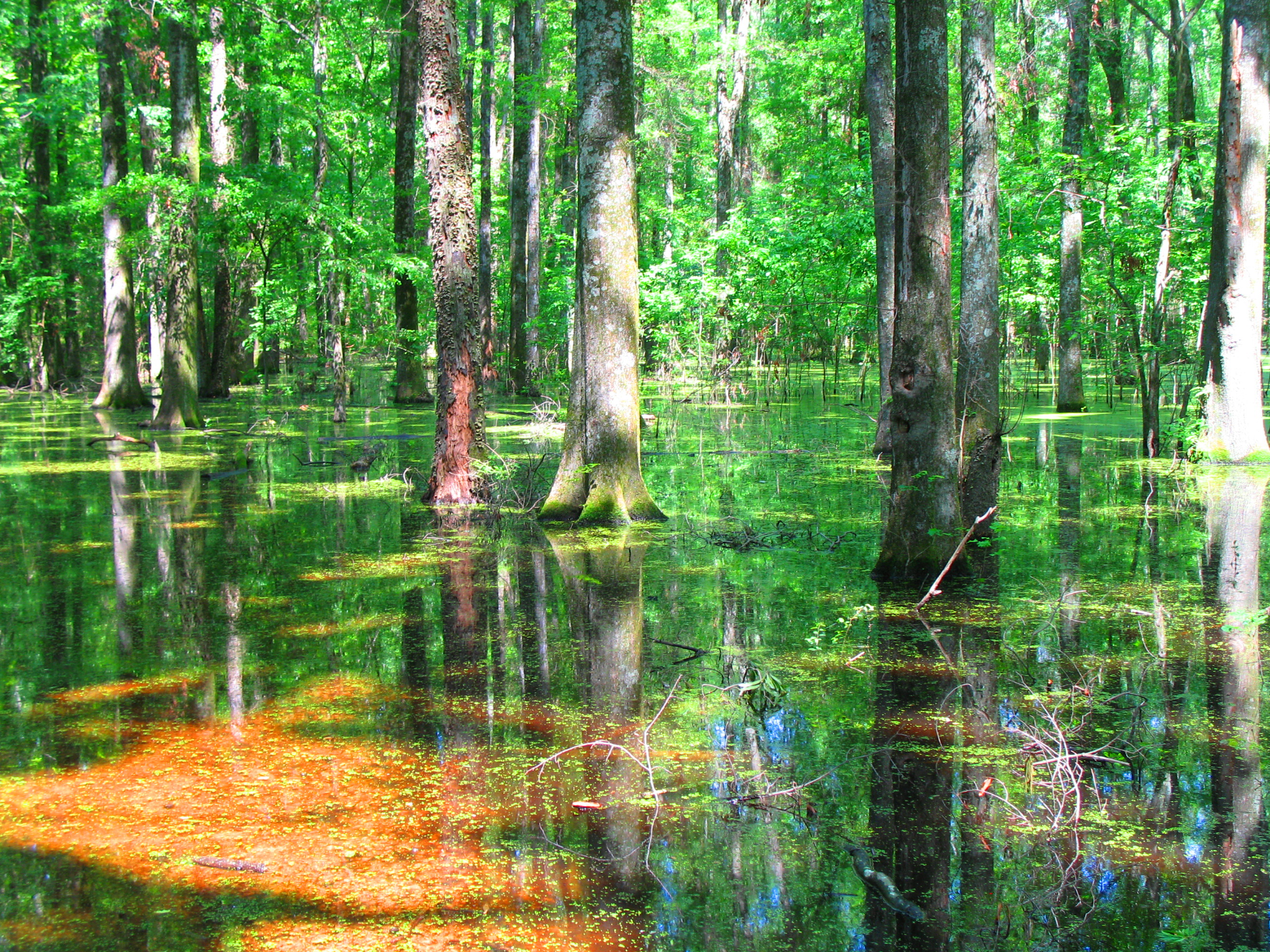
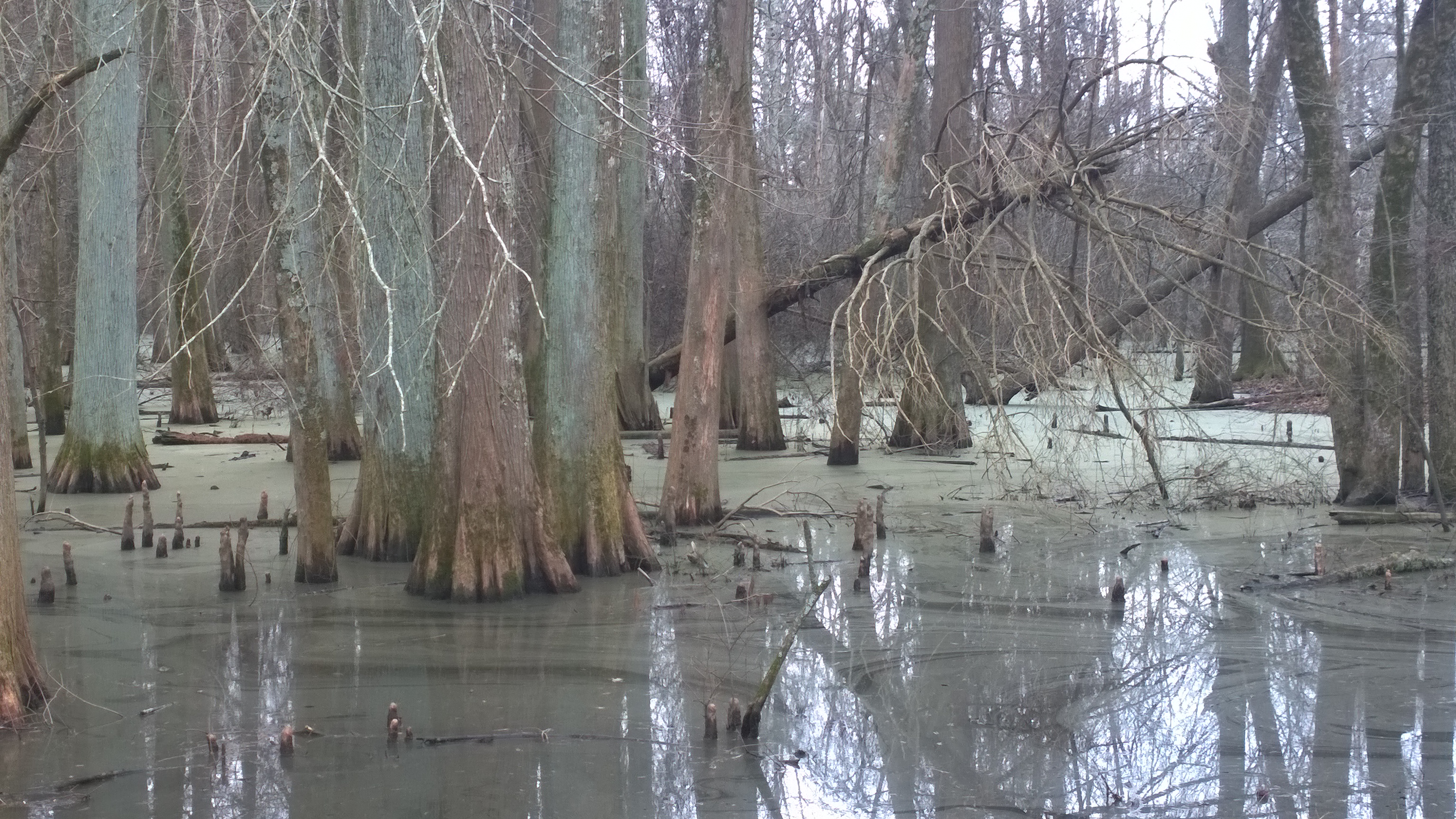
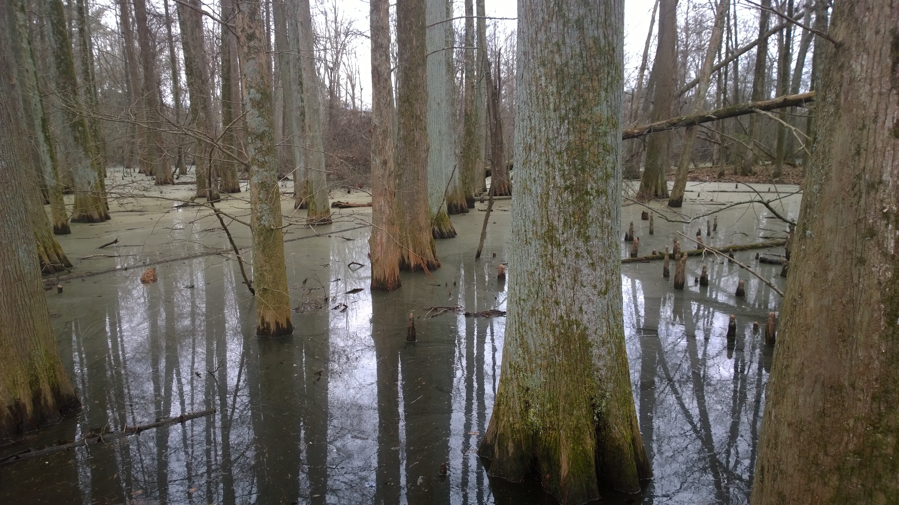
Green green swamp

Dreams of Delano

Bald Cypress Tree (Taxodium distichum) "knees"
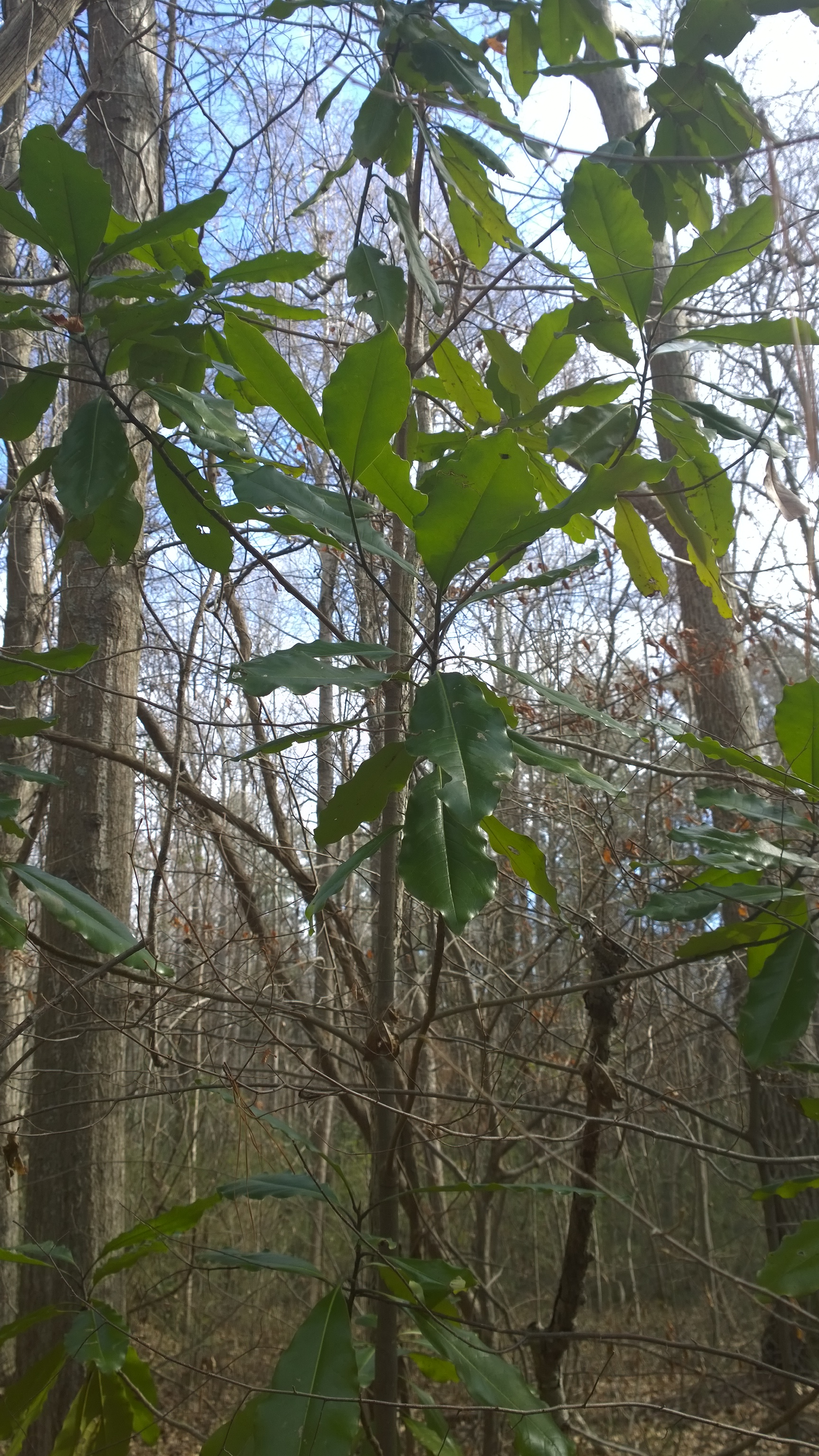
American Beech - Fagus grandifolia
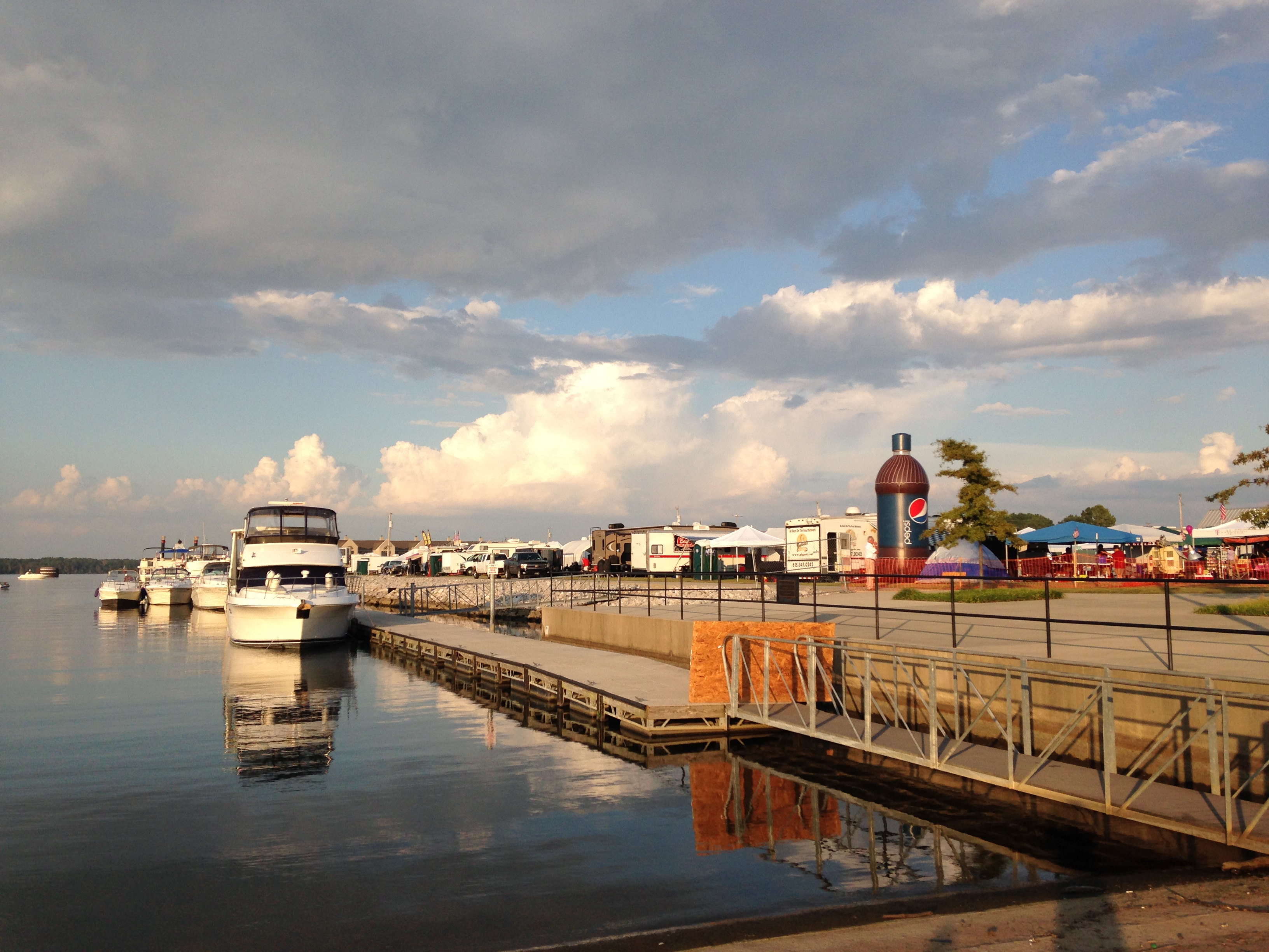
Ingalls Harbor, Decatur, AL

Pleasant Hill MX 2nd Race

reflecting pool
Trees at Wheeler
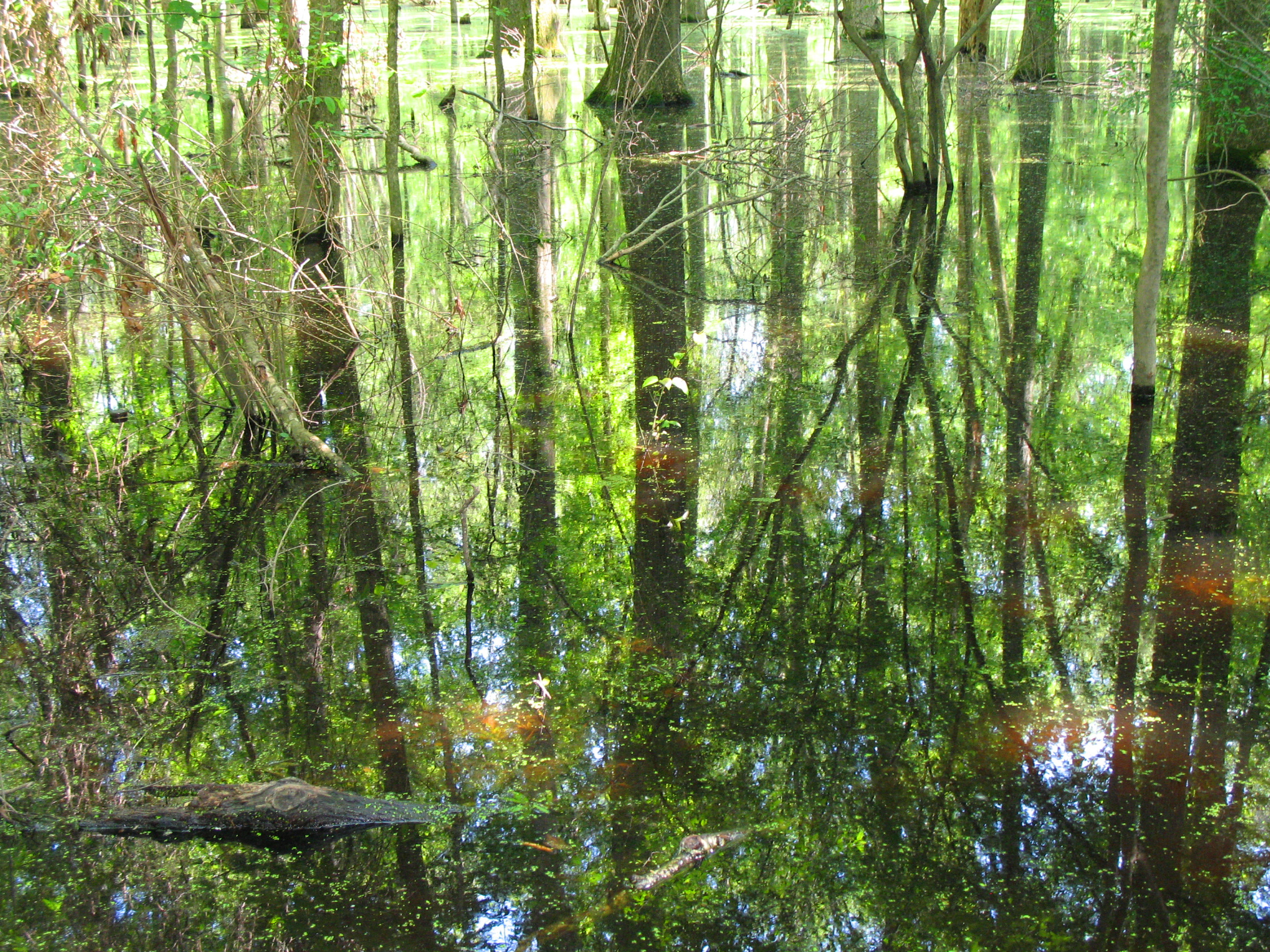
Swampy reflections

IMG_0233-1
Baldcypress - Taxodium distichum, 900th posted photo from Wheeler NWR, Decatur, AL

Grass of some sort

Misty Morning Creekbank

Wooded swamp
Day after Halloween
Topographic Map of Bird Spring Rd, Decatur, AL, USA
Find elevation by address:

Places near Bird Spring Rd, Decatur, AL, USA:
753 Busbey Rd Sw
336 Harris Mountain Dr Sw
1206 Loggers Way Sw
1015 Way Thru The Woods Sw
910 Way Thru The Woods Sw
822 Longbow Dr Sw
Old Highway 31
2812 Montrose Dr Sw
2712 Revere Ave Sw
Sandlin Rd SW, Decatur, AL, USA
Decatur Med-surg Clinic
James Road
2214 Essex Dr Sw
120 Roberts Rd
142 Roberts Rd
Vernon St SW, Decatur, AL, USA
Kathy Ln SW, Decatur, AL, USA
1204 Terre Haute Ave Sw
Lyons Road
Old Creek Trail SE, Decatur, AL, USA
Recent Searches:
- Elevation of Woodland Oak Pl, Thousand Oaks, CA, USA
- Elevation of Brownsdale Rd, Renfrew, PA, USA
- Elevation of Corcoran Ln, Suffolk, VA, USA
- Elevation of Mamala II, Sariaya, Quezon, Philippines
- Elevation of Sarangdanda, Nepal
- Elevation of 7 Waterfall Way, Tomball, TX, USA
- Elevation of SW 57th Ave, Portland, OR, USA
- Elevation of Crocker Dr, Vacaville, CA, USA
- Elevation of Pu Ngaol Community Meeting Hall, HWHM+3X7, Krong Saen Monourom, Cambodia
- Elevation of Royal Ontario Museum, Queens Park, Toronto, ON M5S 2C6, Canada