Elevation map of Binh Dinh Province, Vietnam
Location: Vietnam >
Longitude: 108.902683
Latitude: 14.1665324
Elevation: 407m / 1335feet
Barometric Pressure: 97KPa
Elevation Map:
Satellite Map:
Related Photos:

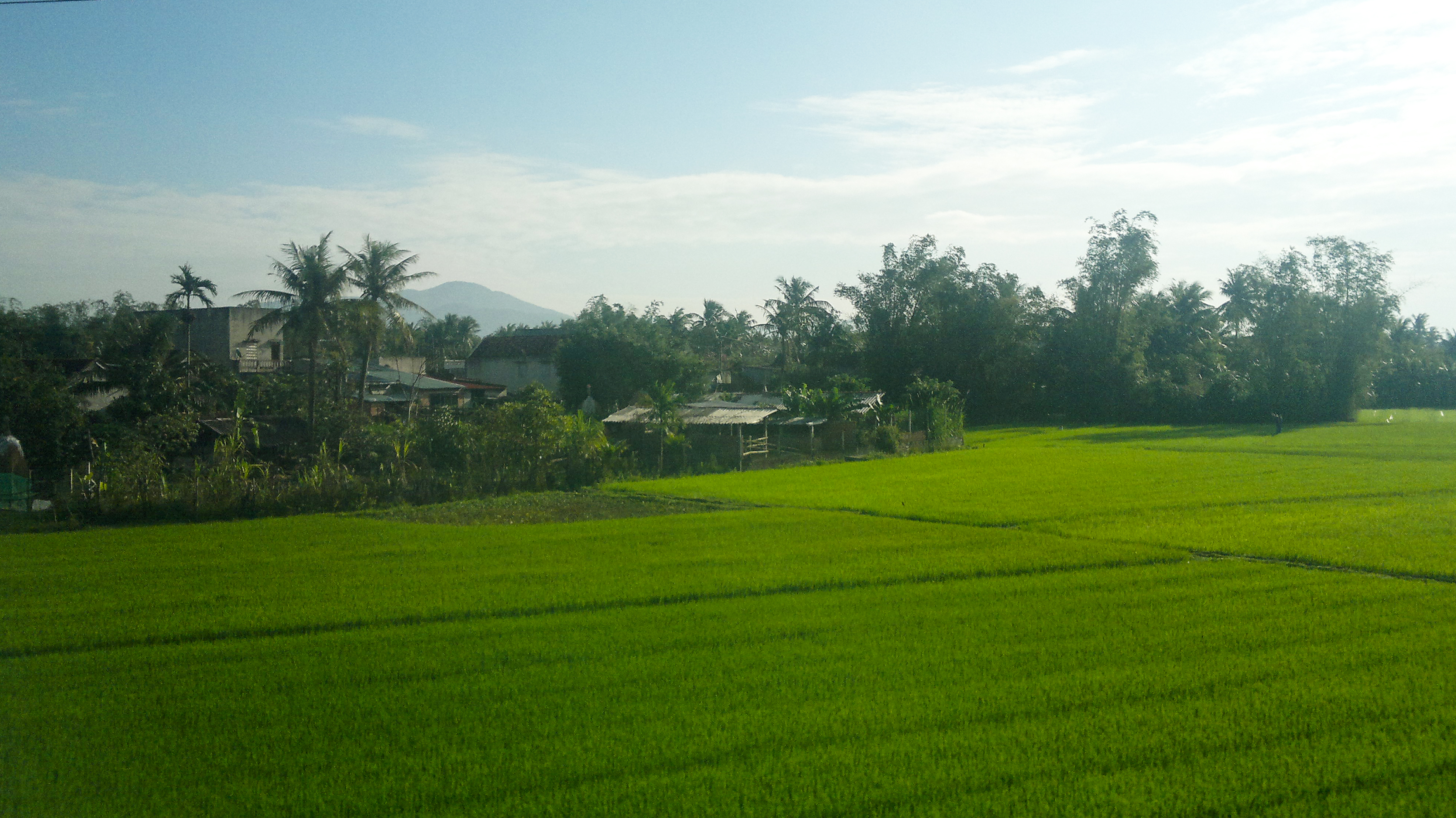
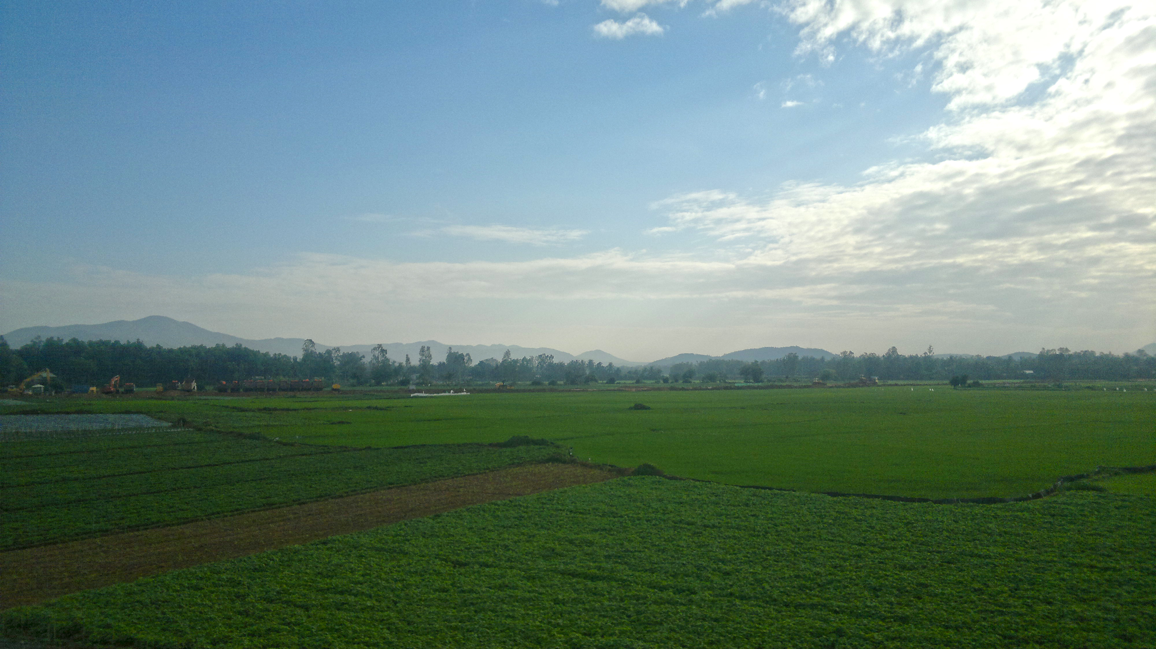
Woman working the rice field, Vietnam

Working in the fields

2014-01-26-449

2014-01-26-454

2014-01-26-452

2014-01-26-464

2014-01-26-448

2014-01-26-468
2014-01-26-467

2014-01-26-451
2014-01-26-455

2014-01-26-456

2014-01-26-453
Topographic Map of Binh Dinh Province, Vietnam
Find elevation by address:

Places in Binh Dinh Province, Vietnam:
Recent Searches:
- Elevation of Brooks Lp, Spearfish, SD, USA
- Elevation of Panther Dr, Maggie Valley, NC, USA
- Elevation of Jais St - Wadi Shehah - Ras al Khaimah - United Arab Emirates
- Elevation of Shawnee Avenue, Shawnee Ave, Easton, PA, USA
- Elevation of Scenic Shore Dr, Kingwood Area, TX, USA
- Elevation of W Prive Cir, Delray Beach, FL, USA
- Elevation of S Layton Cir W, Layton, UT, USA
- Elevation of F36W+3M, Mussoorie, Uttarakhand, India
- Elevation of Fairland Ave, Fairhope, AL, USA
- Elevation of Sunset Dr, Richmond, VA, USA