Elevation of Biharamulo, Tanzania
Location: Tanzania > Kagera Region > Biharamulo >
Longitude: 31.3141291
Latitude: -2.6343036
Elevation: 1441m / 4728feet
Barometric Pressure: 85KPa
Elevation Map:
Satellite Map:
Related Photos:
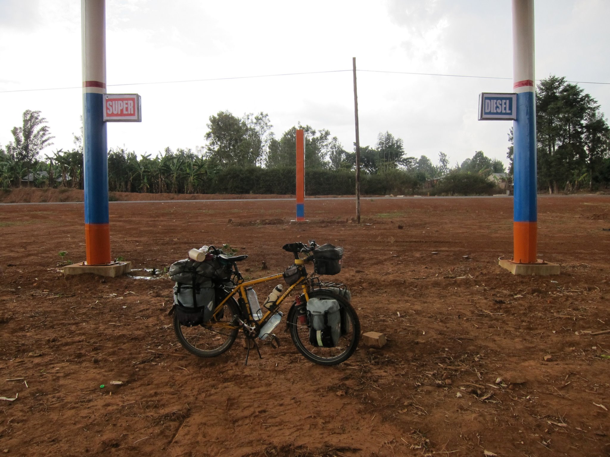
Half Assed attempt at opening a fuel station - seems they gave up after building the structure
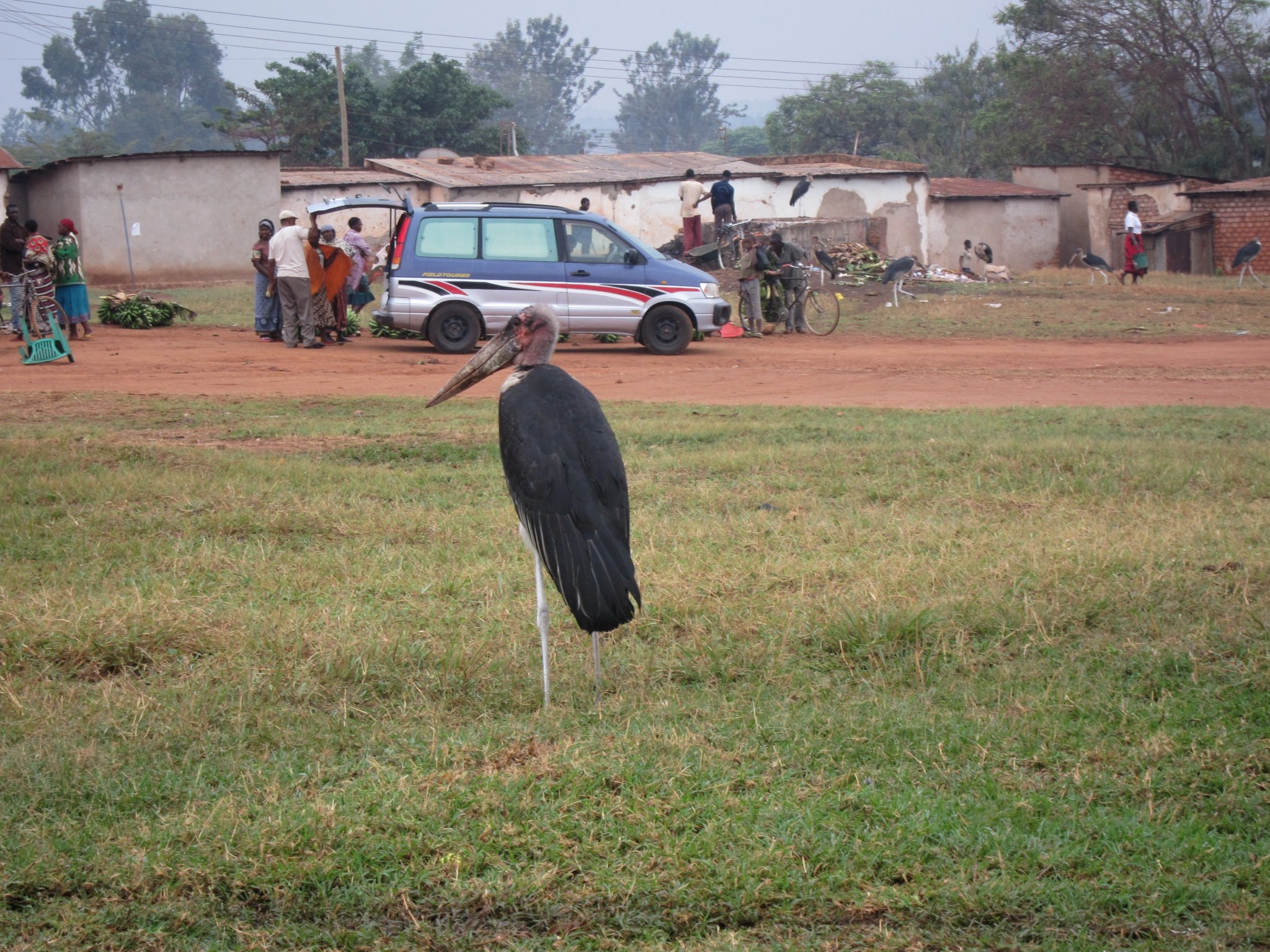
Maribou Stork
Topographic Map of Biharamulo, Tanzania
Find elevation by address:

Places near Biharamulo, Tanzania:
Ruziba
Biharamulo
Ngara Kagera Tanzania
Kagera Region
Chato
Nyisanzi
Muleba
Muleba
Geita
Nshamba
Kamachumu
Karagwe
Recent Searches:
- Elevation of 62 Abbey St, Marshfield, MA, USA
- Elevation of Fernwood, Bradenton, FL, USA
- Elevation of Felindre, Swansea SA5 7LU, UK
- Elevation of Leyte Industrial Development Estate, Isabel, Leyte, Philippines
- Elevation of W Granada St, Tampa, FL, USA
- Elevation of Pykes Down, Ivybridge PL21 0BY, UK
- Elevation of Jalan Senandin, Lutong, Miri, Sarawak, Malaysia
- Elevation of Bilohirs'k
- Elevation of 30 Oak Lawn Dr, Barkhamsted, CT, USA
- Elevation of Luther Road, Luther Rd, Auburn, CA, USA