Elevation of Big Rapids, MI, USA
Location: United States > Michigan > Mecosta County >
Longitude: -85.483655
Latitude: 43.6980782
Elevation: 282m / 925feet
Barometric Pressure: 98KPa
Elevation Map:
Satellite Map:
Related Photos:

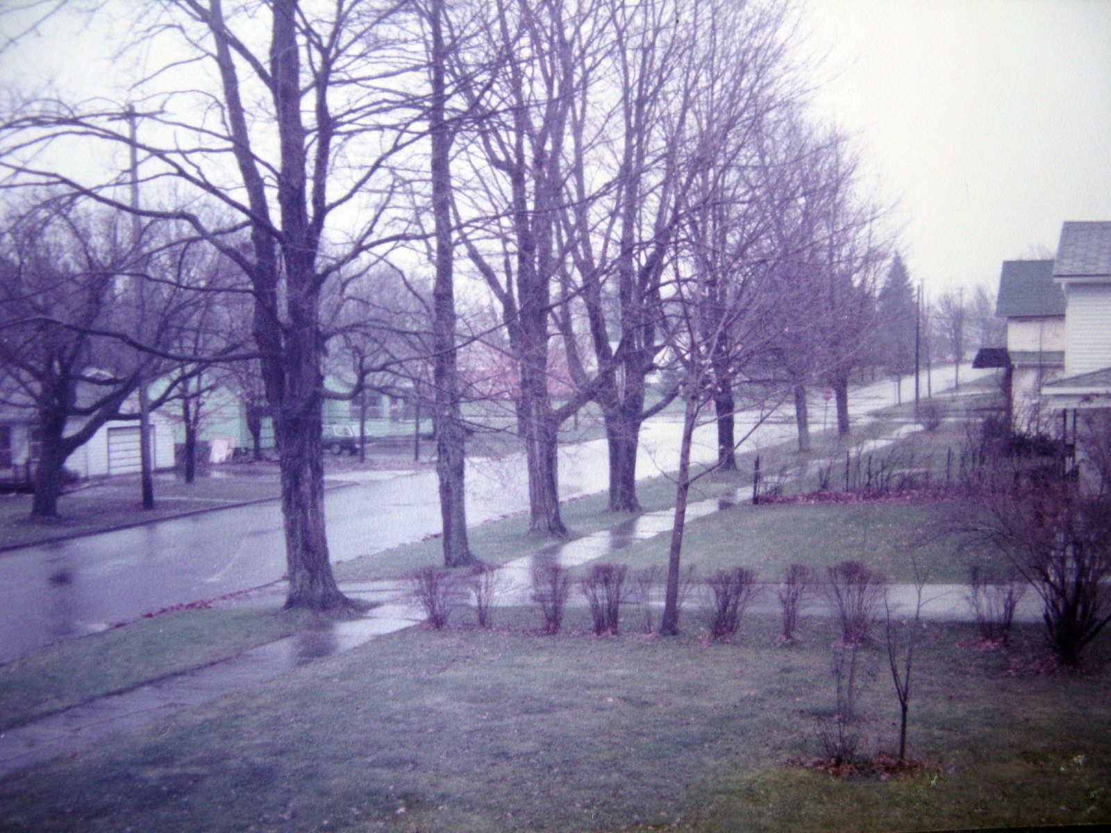
The Infinite View
Michigan Thanksgiving Vacation Reunion
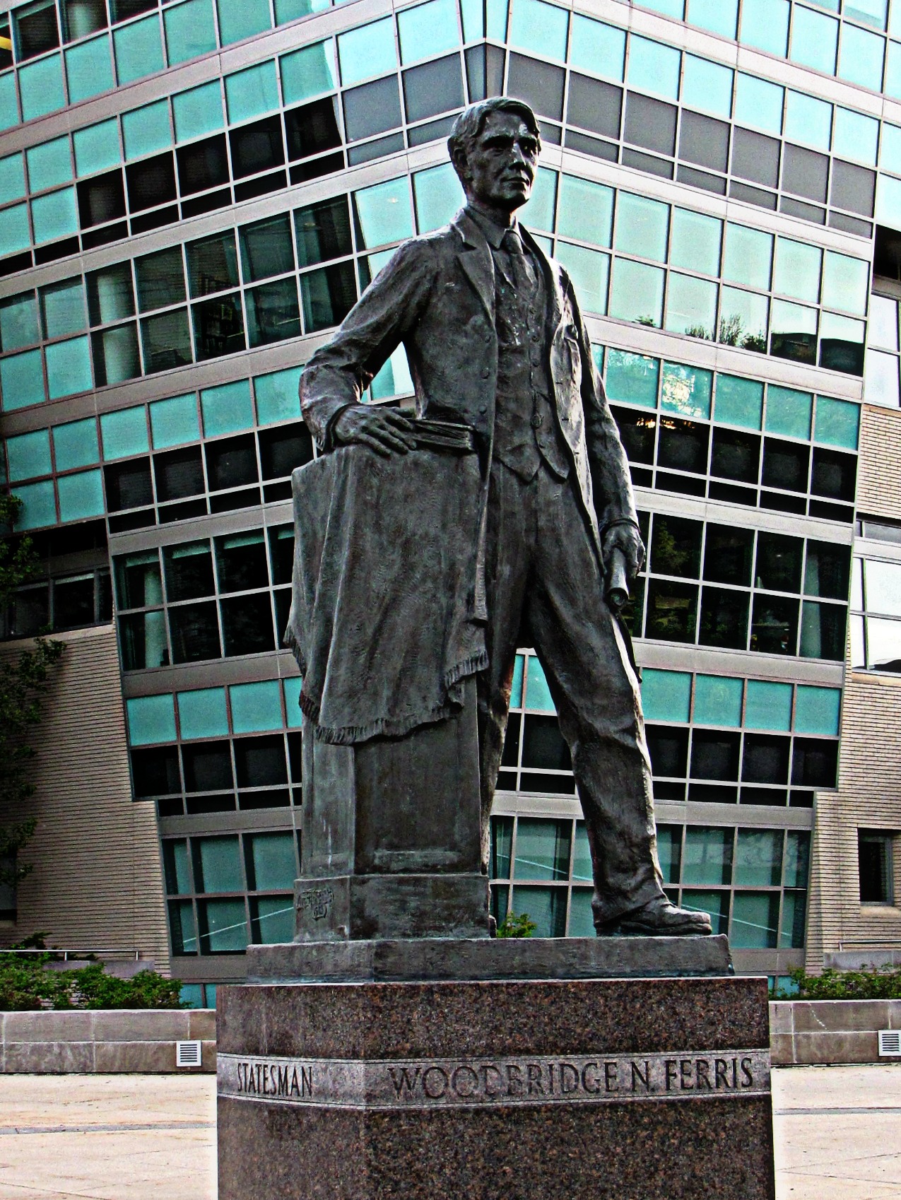
Woodbridge N. Ferris

April 09

Side view

The view from below

House of Rolls

Sleeping Bear Bluff
Sun setting

Driving down 131S.

Traveling North.

Annnd the snow keeps a coming down.
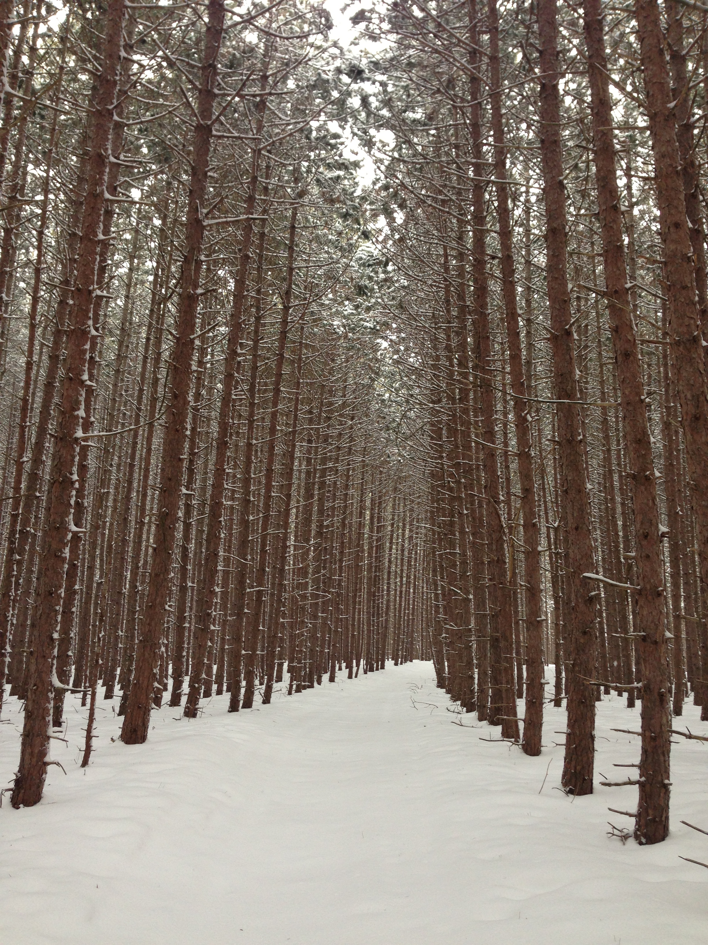
Trail through the pines

Setting sun
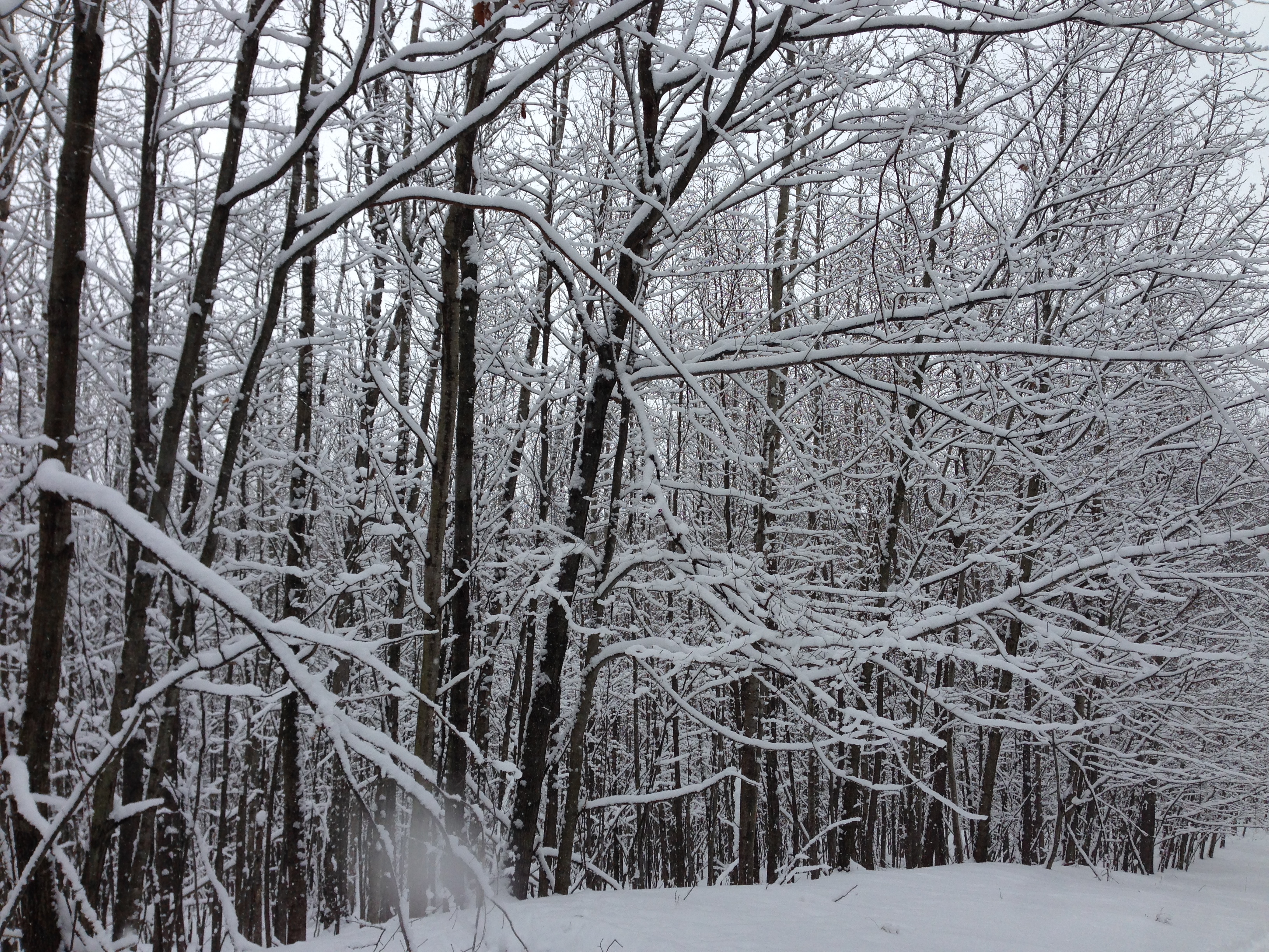
New snow

Cran Hill Ranch

September sunset
The power of nature

Claire C. is harvesting his corn

September sunset
I found more deep snow today

Morning sun

Scottish Highland Calves

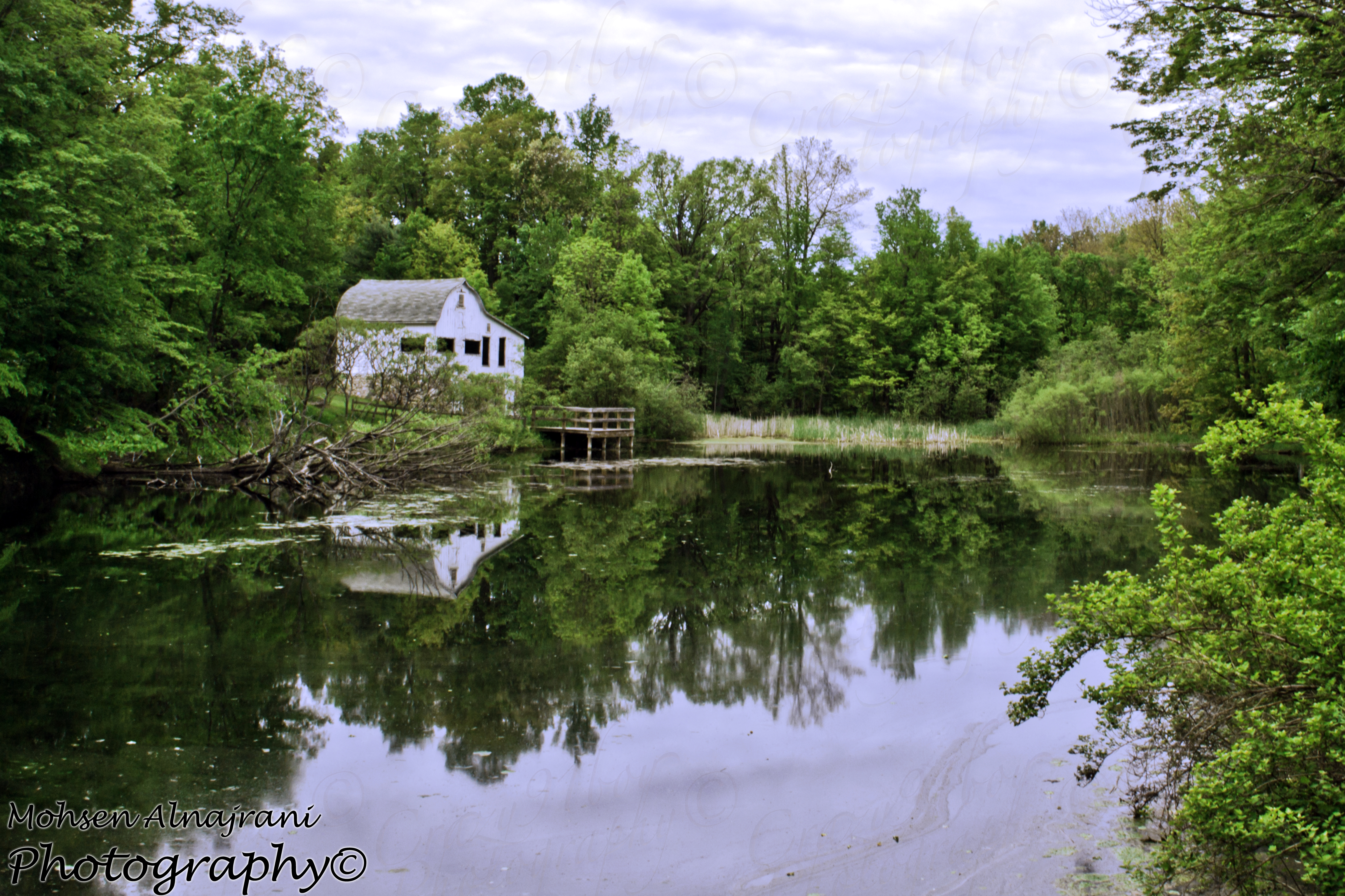
South end haymarsh

February sunset
Looking north

lighthouse-Michigan
Topographic Map of Big Rapids, MI, USA
Find elevation by address:

Places in Big Rapids, MI, USA:
Places near Big Rapids, MI, USA:
Maple St, Big Rapids, MI, USA
217 Escott St
217 Escott St
217 Escott St
North Dekraft Avenue
Big Rapids, MI, USA
Green Charter Township
Northland Dr, Paris, MI, USA
Paris
23799 20 Mile Rd
23687 165th Ave
Mecosta County
Hersey
Goodwell Township
765 S Mill St
th Ave, Rodney, MI, USA
5274 E 6 Mile Rd
9631 N Calgary Dr
South Calgary Drive
Chase
Recent Searches:
- Elevation of Co Rd 87, Jamestown, CO, USA
- Elevation of Tenjo, Cundinamarca, Colombia
- Elevation of Côte-des-Neiges, Montreal, QC H4A 3J6, Canada
- Elevation of Bobcat Dr, Helena, MT, USA
- Elevation of Zu den Ihlowbergen, Althüttendorf, Germany
- Elevation of Badaber, Peshawar, Khyber Pakhtunkhwa, Pakistan
- Elevation of SE Heron Loop, Lincoln City, OR, USA
- Elevation of Slanický ostrov, 01 Námestovo, Slovakia
- Elevation of Spaceport America, Co Rd A, Truth or Consequences, NM, USA
- Elevation of Warwick, RI, USA