Elevation of Big Creek Rd, Madisonville, TN, USA
Location: United States > Tennessee > Monroe County > Madisonville >
Longitude: -84.299091
Latitude: 35.46453
Elevation: 284m / 932feet
Barometric Pressure: 98KPa
Elevation Map:
Satellite Map:
Related Photos:
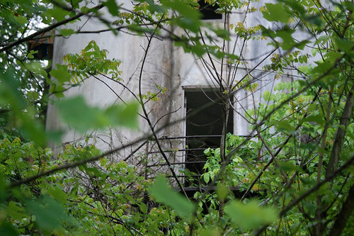
Close Encounter

Monroe County, TN Courthouse - Madisonville, TN

Gray Treefrog - Hyla versicolor
a closer view,forget all behind
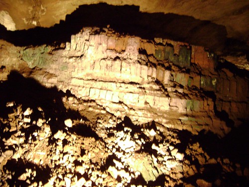
The Lost Sea - Sweetwater, TN

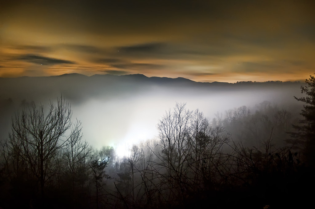
Count the Stars

near Miller St & Fowler St

Monroe County Courthouse Side View - Madisonville, TN
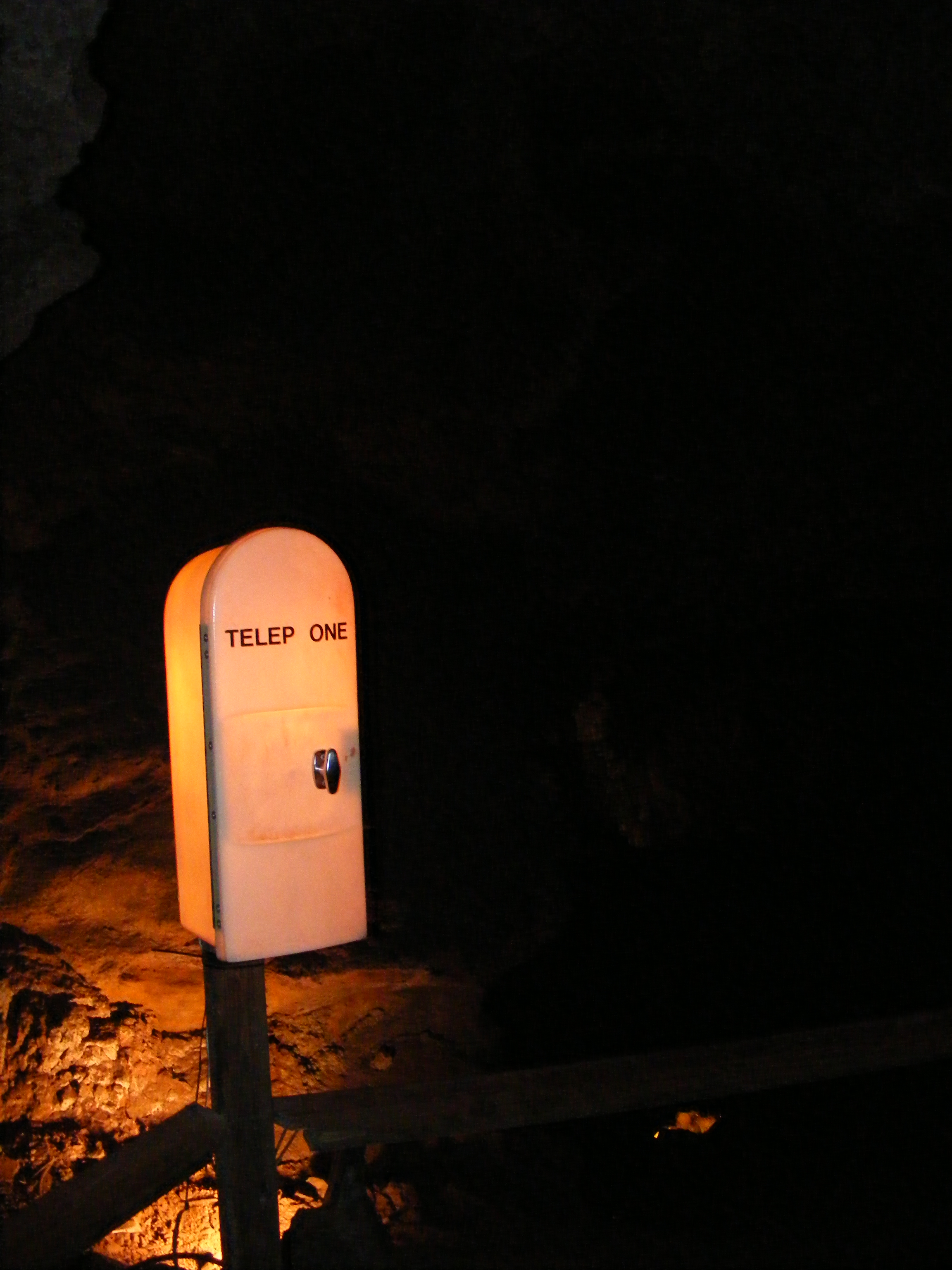
TELEP ONE in The Lost Sea Cave

Jump In!
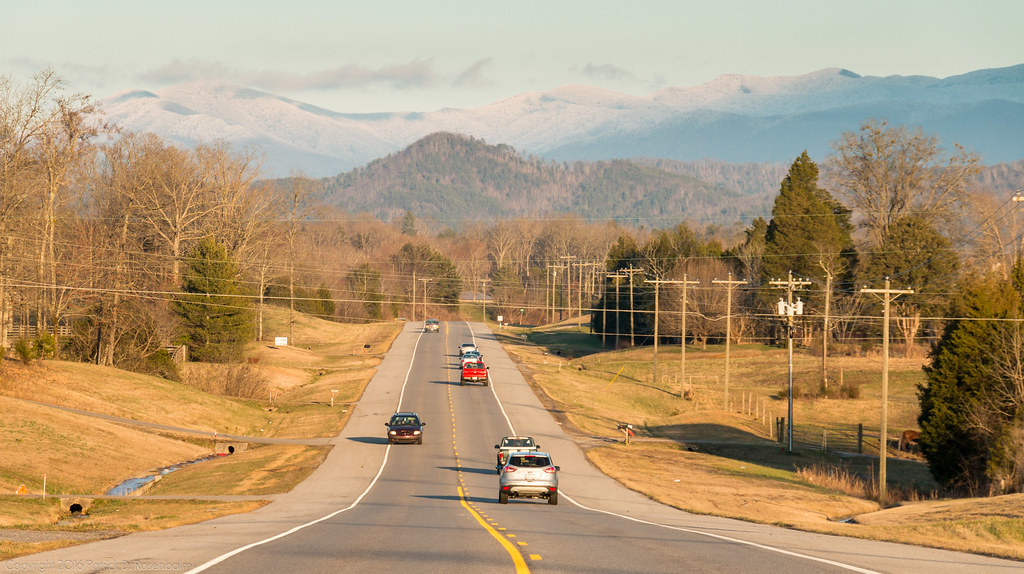
Headed to the Mtns
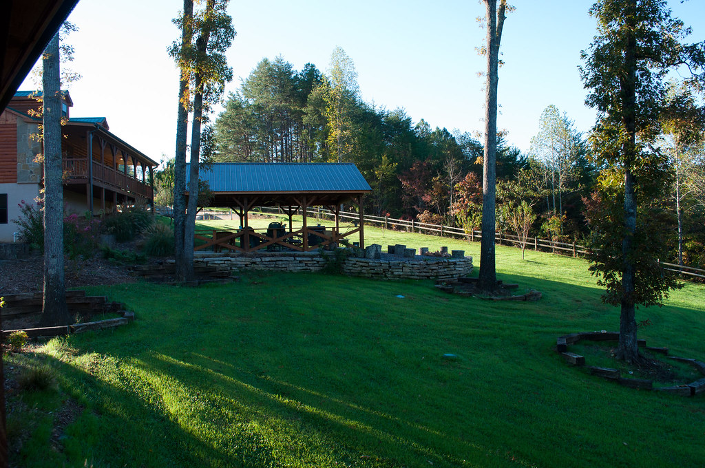
View from our lodge
Tellico Roundhouse - Side View
View from the top of the skyway
Door with a view
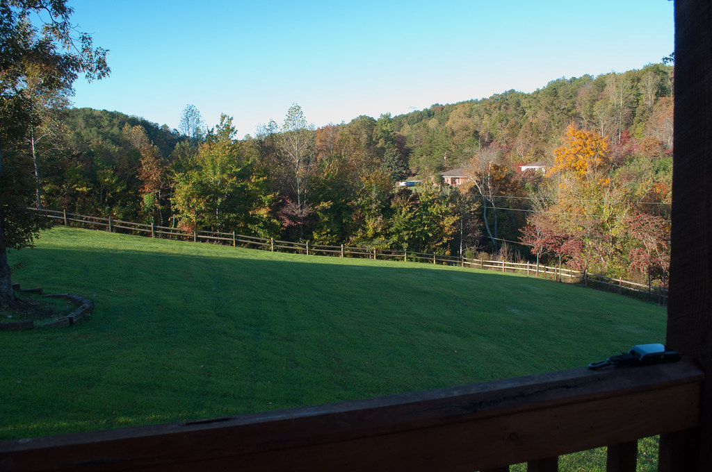
View from our lodge

This Bird Has Flown

Sittin' on the Dock of the Bay

Freedom of Choice
DSC03643.JPG
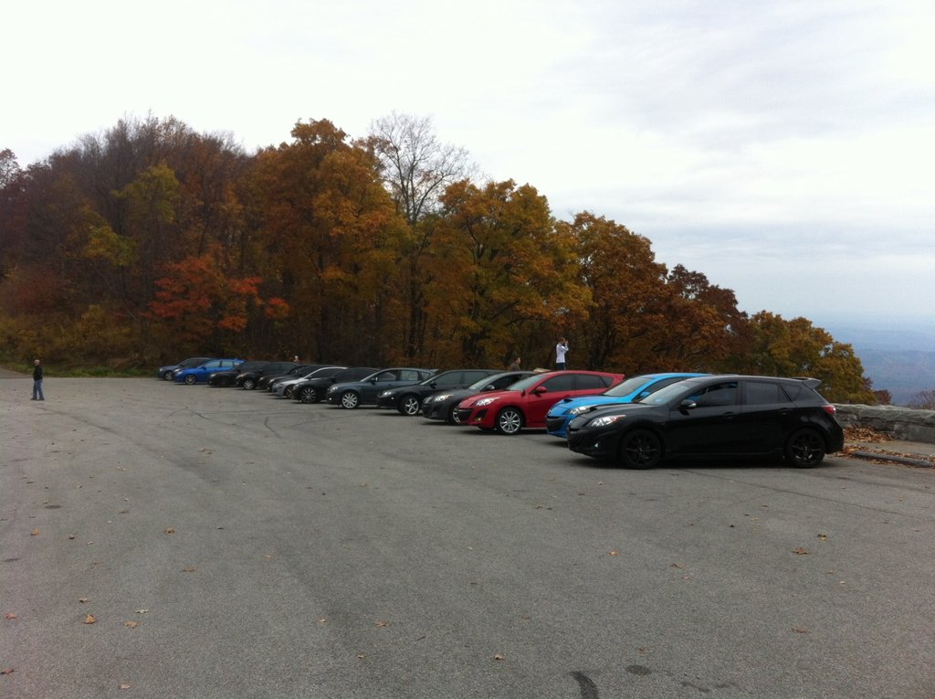
Tellico River: Highway 165 (Cherohala Skyway)

IMG_0599.jpg
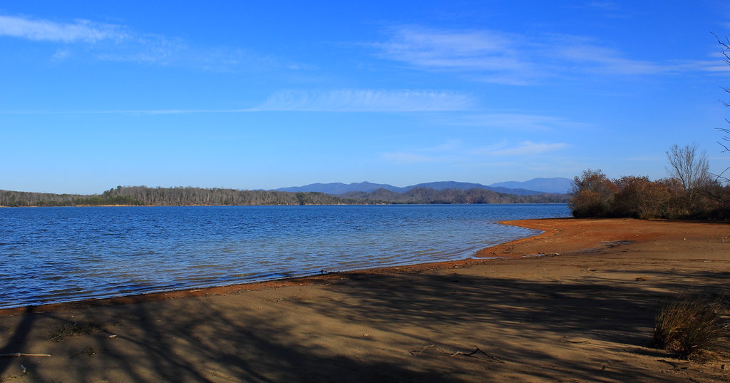
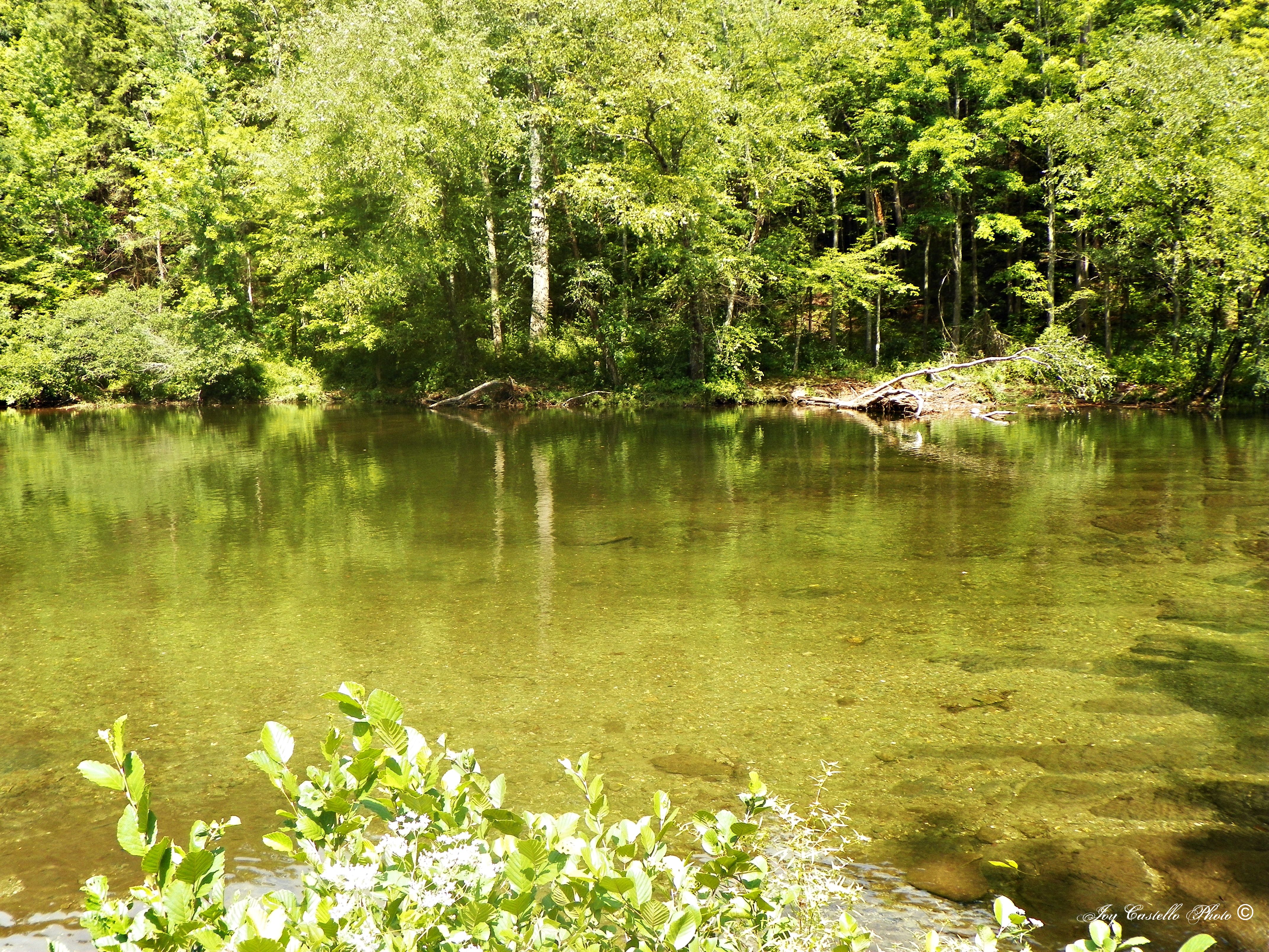
Tellico Lake Shore

Chattanooga 2009
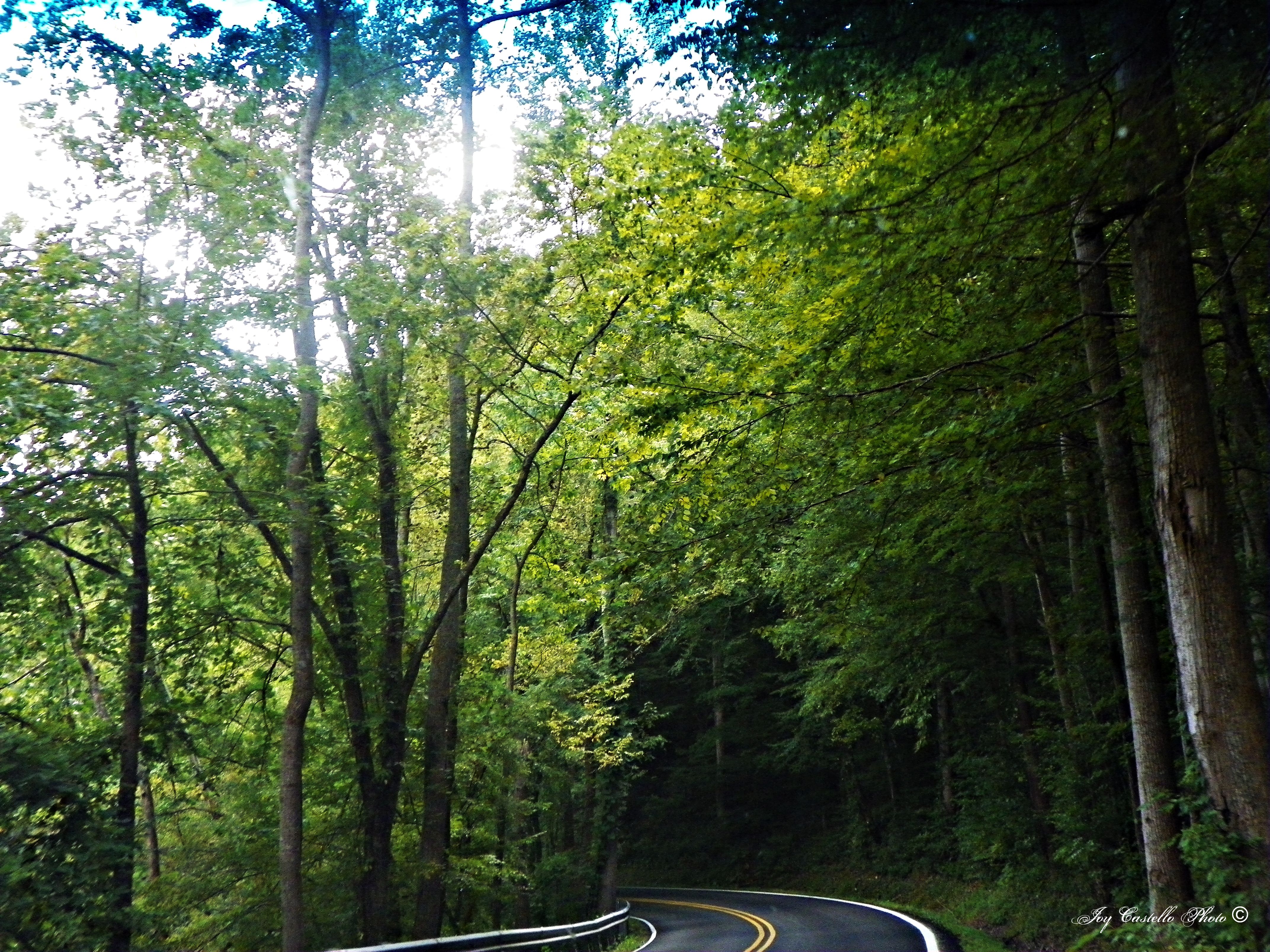
Highway 165 (Cherohala Skyway(
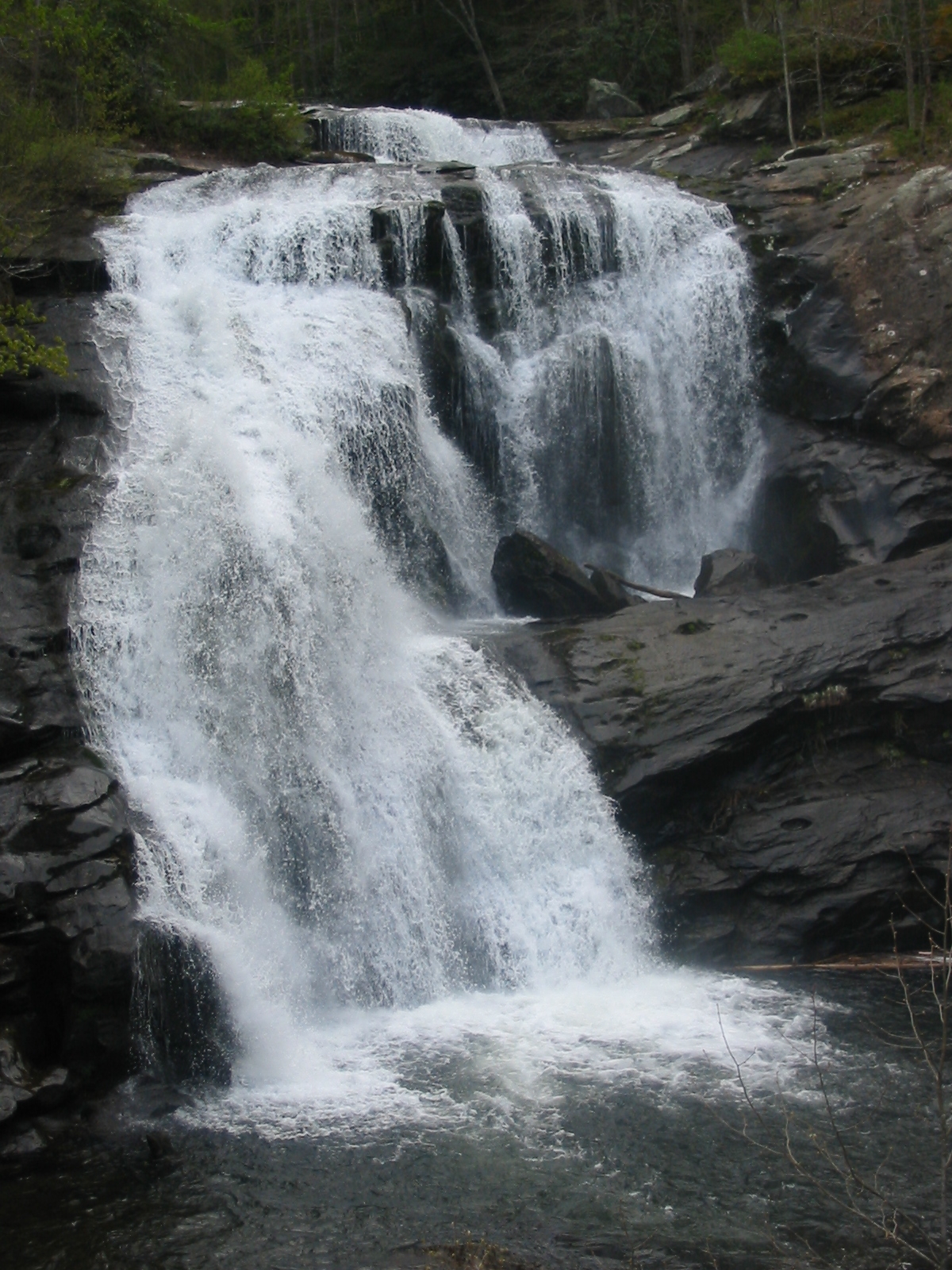
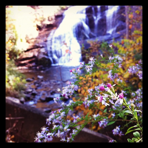
Tellico Plains Falls
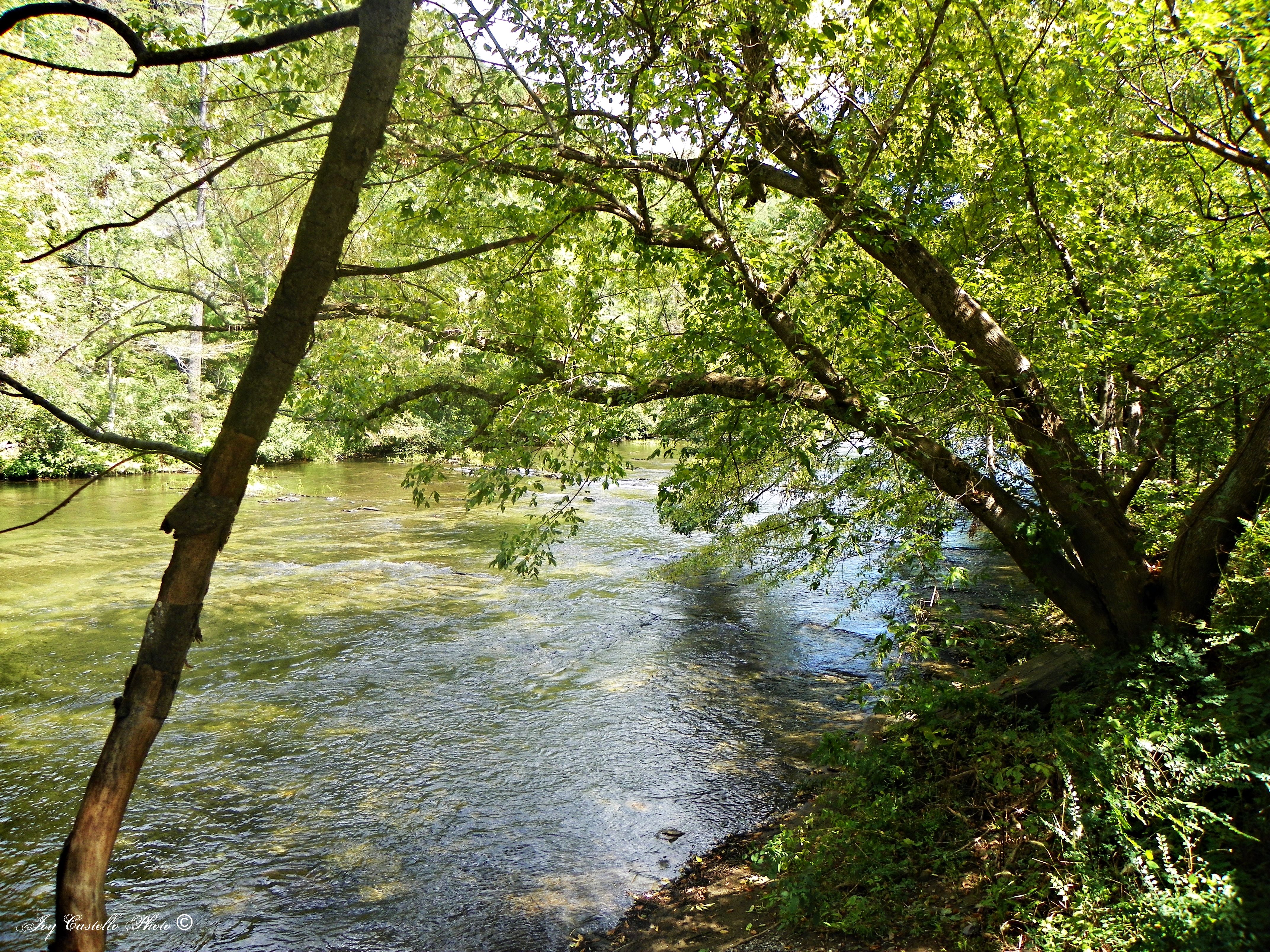
Tellico River: Highway 165 (Cherohala Skyway)
Tellico River: Highway 165 (Cherohala Skyway)
Tellico River: Highway 165 (Cherohala Skyway)
20120517-165416-IMG_4127
Tellico River: Highway 165 (Cherohala Skyway)
Tellico River: Highway 165 (Cherohala skyway)
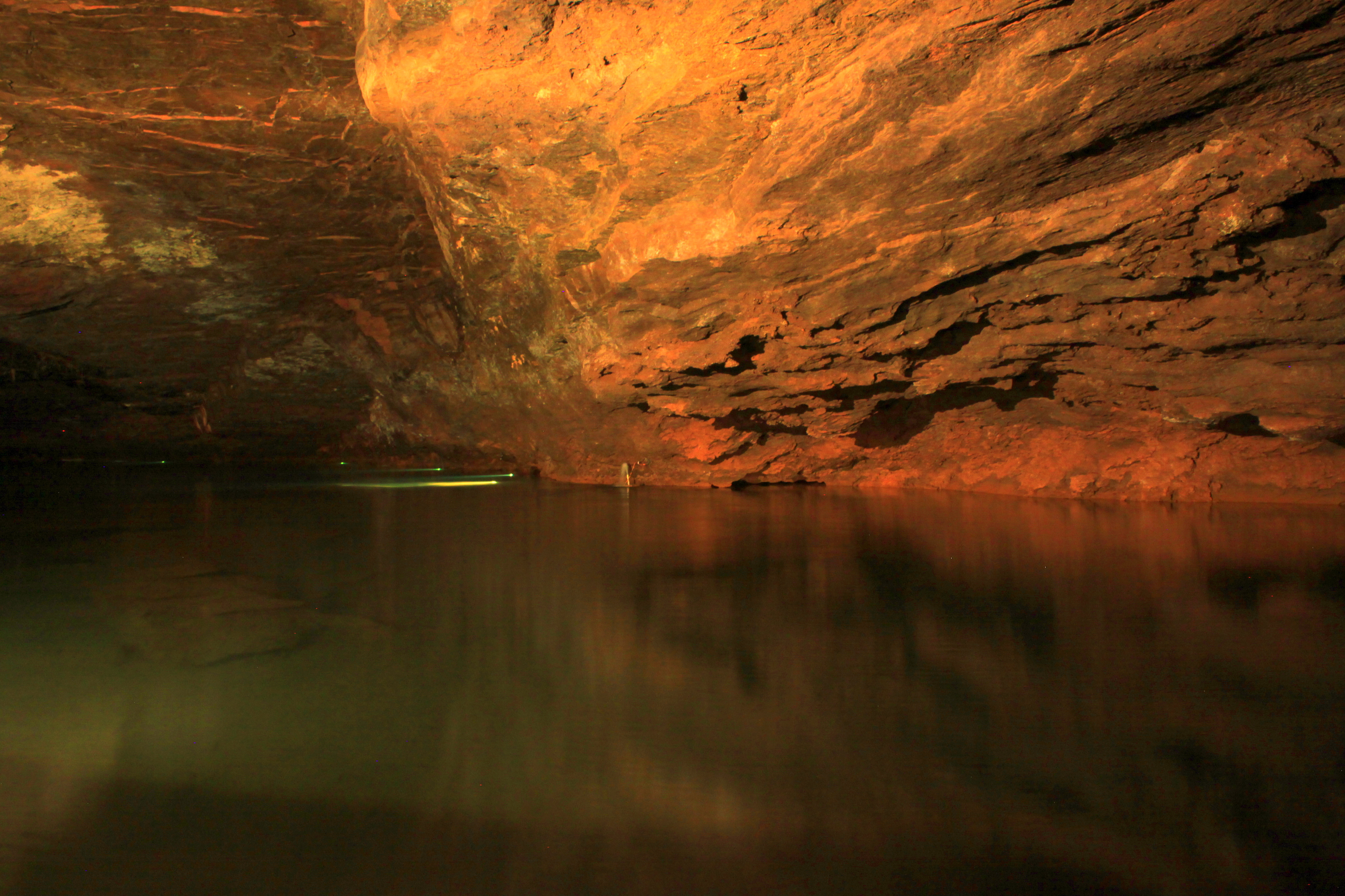
Lost Sea 3
Tellico River: Highway 165 (Cherohala Skyway)
Tellico River: Highway 165 (Cherohala Skyway)
Topographic Map of Big Creek Rd, Madisonville, TN, USA
Find elevation by address:

Places near Big Creek Rd, Madisonville, TN, USA:
2565 Fairview Rd
48 Glenn Dr
1746 Ballplay Rd
1609 Ballplay Rd
235 Saffles Ln
1133 Spring Rd
333 Polly Mountain Rd
131 Bob Payne Rd
Bethlehem Rd, Madisonville, TN, USA
Cagle Road
3300 Ballplay Rd
Harlan Mountain Road
265 Lee Rd
Monroe County
162 Cherokee Winds
5020 New Hwy 68
Bullet Mountain Drive
717 Three Point Rd
5667 Tn-360
Old State Rd, Tellico Plains, TN, USA
Recent Searches:
- Elevation of Corso Fratelli Cairoli, 35, Macerata MC, Italy
- Elevation of Tallevast Rd, Sarasota, FL, USA
- Elevation of 4th St E, Sonoma, CA, USA
- Elevation of Black Hollow Rd, Pennsdale, PA, USA
- Elevation of Oakland Ave, Williamsport, PA, USA
- Elevation of Pedrógão Grande, Portugal
- Elevation of Klee Dr, Martinsburg, WV, USA
- Elevation of Via Roma, Pieranica CR, Italy
- Elevation of Tavkvetili Mountain, Georgia
- Elevation of Hartfords Bluff Cir, Mt Pleasant, SC, USA