Elevation of Big Baldy, Colorado, USA
Location: United States > Colorado > Cañon City >
Longitude: -105.32498
Latitude: 38.6499931
Elevation: 2700m / 8858feet
Barometric Pressure: 73KPa
Elevation Map:
Satellite Map:
Related Photos:

Viewing Colorado

Shelf Road's Window Rock
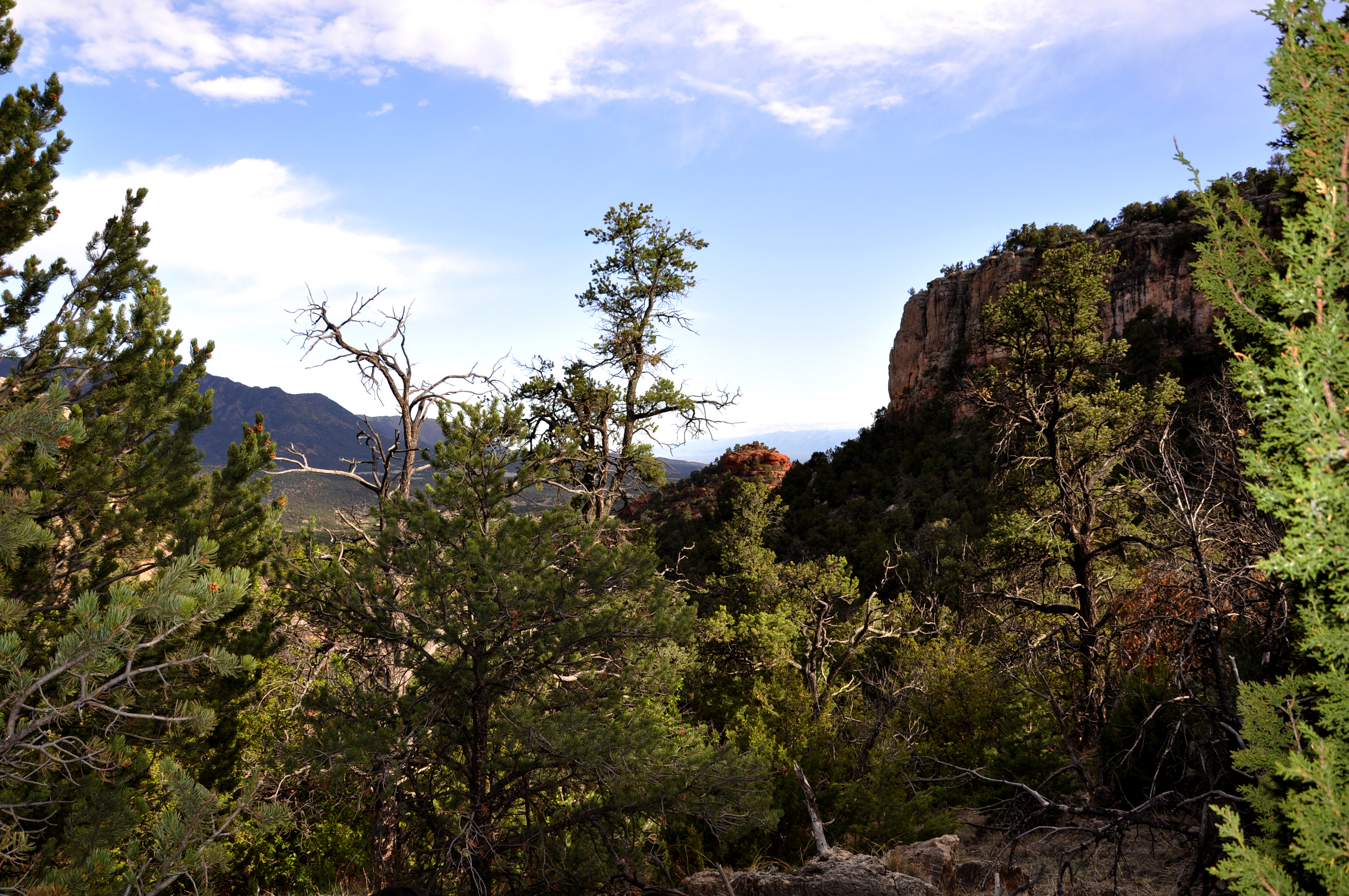
Shelf Road
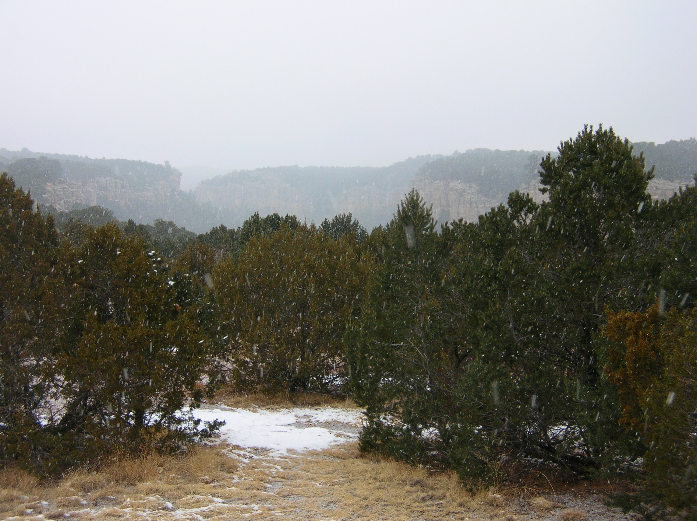
The Bank Snowstorm
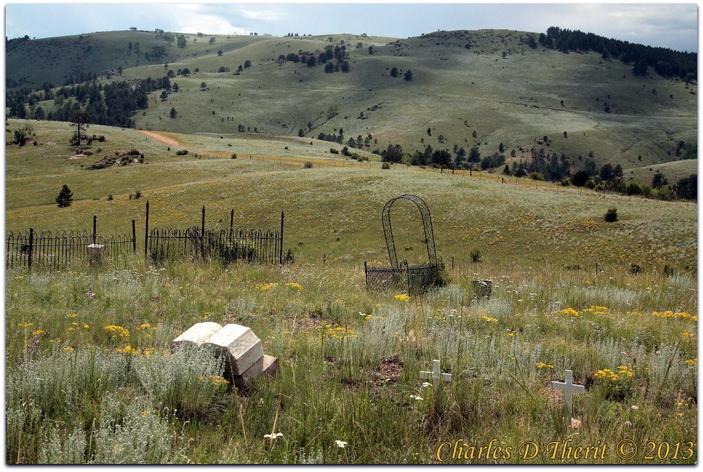
Victor Sunnyside Cemetery

Victor Sunnyside Cemetery and Potter's Field
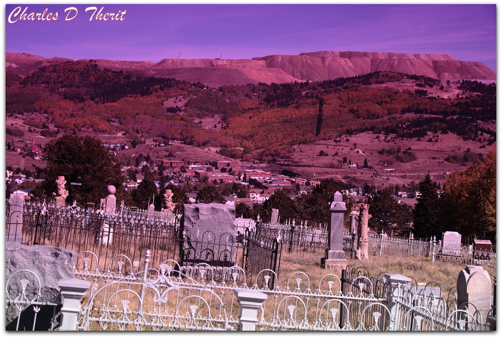
Cripple Creek and Victor Gold Mine from Pount Pisgah Cemetery

IMG_7109-Edit-Pano.jpg
Topographic Map of Big Baldy, Colorado, USA
Find elevation by address:

Places near Big Baldy, Colorado, USA:
3555 Buckhorn Ln
Deer Park Trail
Deer Park Trail
354 Outlaw Ln
2589 Buckhorn Ln
454 Cap Rock Ln
420 Sunnybrook Trail
10398 State Rd 345a
2703 Old Crow Path
365 Achy Back Ln
Cañon City, CO, USA
690 Pine Vista N
1289 S Pine Vista
Mesa Road
3100 Co-9
3100 Co-9
268 Back Acres
1630 Co-9
5005 Garden Park Rd
Canyon Tce
Recent Searches:
- Elevation of Corso Fratelli Cairoli, 35, Macerata MC, Italy
- Elevation of Tallevast Rd, Sarasota, FL, USA
- Elevation of 4th St E, Sonoma, CA, USA
- Elevation of Black Hollow Rd, Pennsdale, PA, USA
- Elevation of Oakland Ave, Williamsport, PA, USA
- Elevation of Pedrógão Grande, Portugal
- Elevation of Klee Dr, Martinsburg, WV, USA
- Elevation of Via Roma, Pieranica CR, Italy
- Elevation of Tavkvetili Mountain, Georgia
- Elevation of Hartfords Bluff Cir, Mt Pleasant, SC, USA