Elevation of Bhogaon, Uttar Pradesh, India
Location: India > Uttar Pradesh > Mirzapur >
Longitude: 82.5780878
Latitude: 25.2336506
Elevation: 86m / 282feet
Barometric Pressure: 100KPa
Elevation Map:
Satellite Map:
Related Photos:
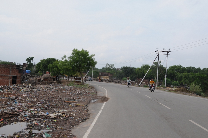
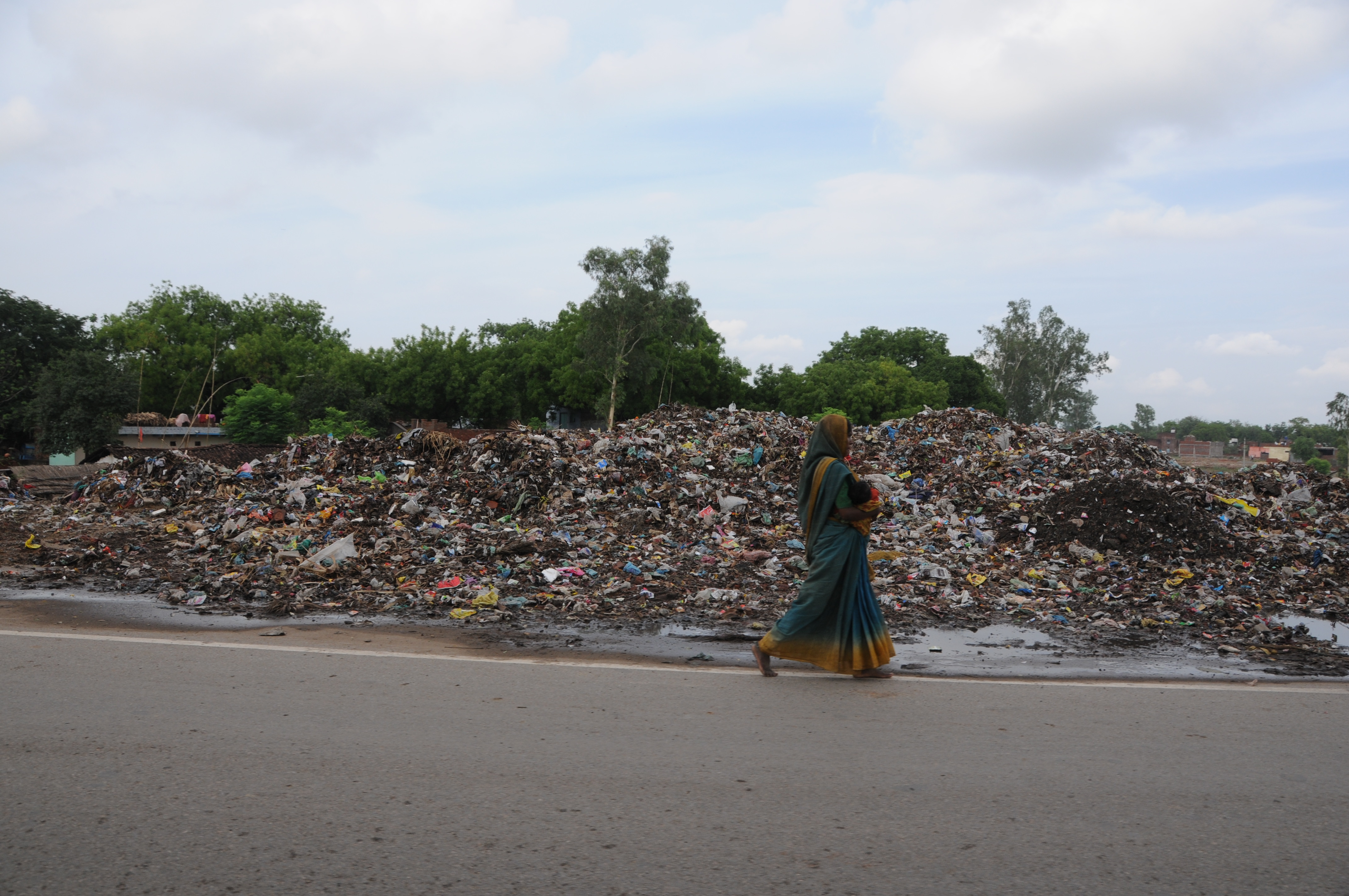
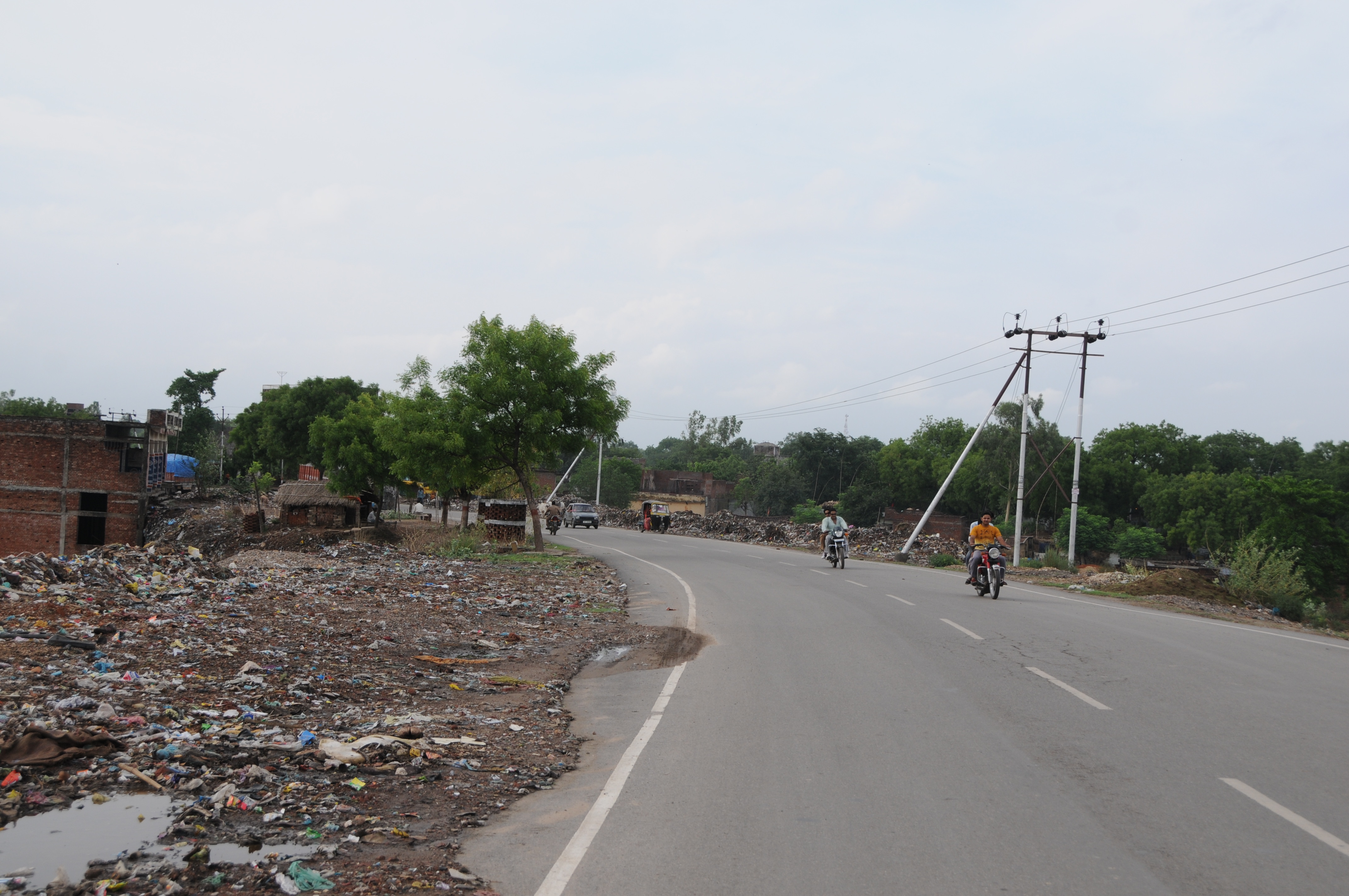
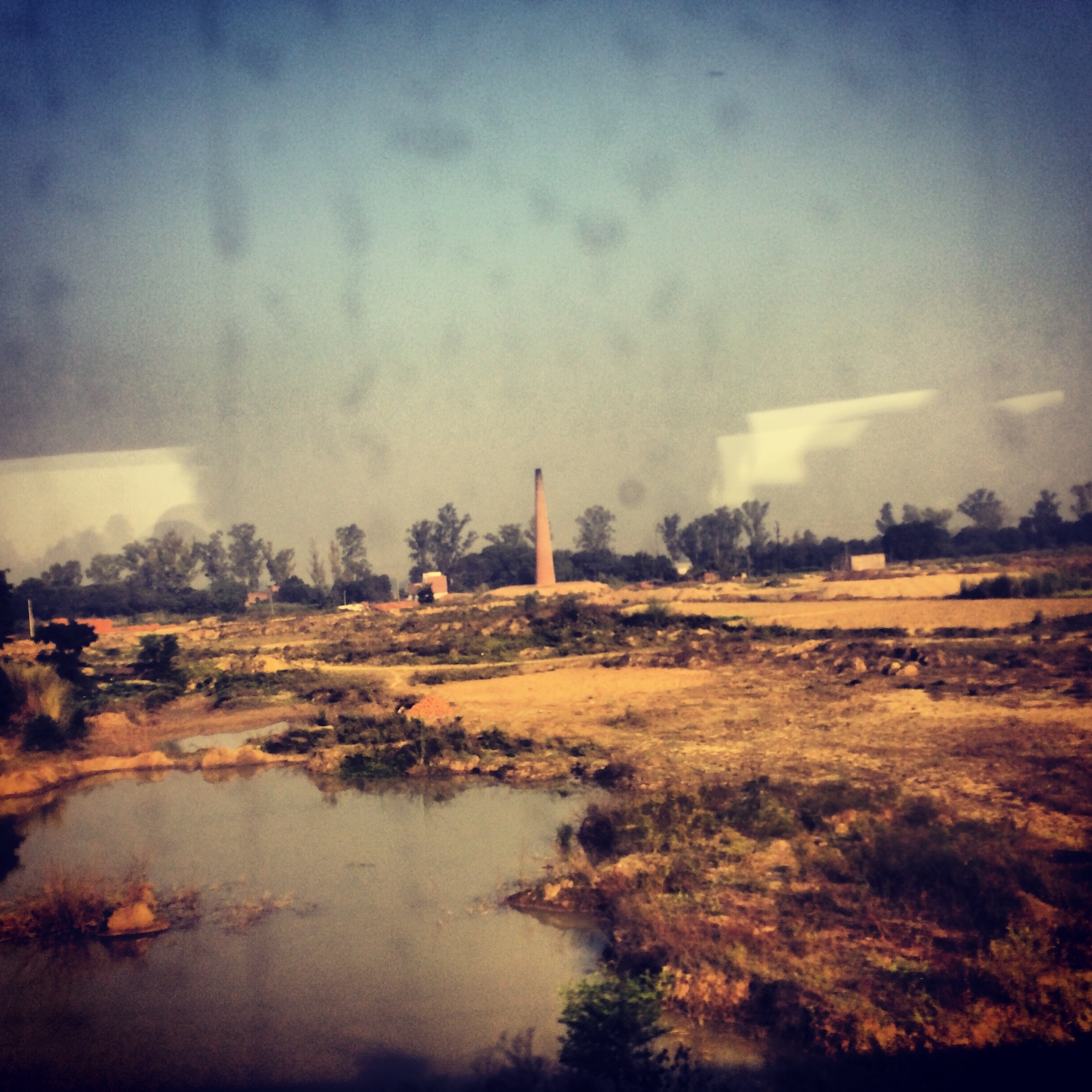
Road or Garbbage?
CSP_3496.JPG
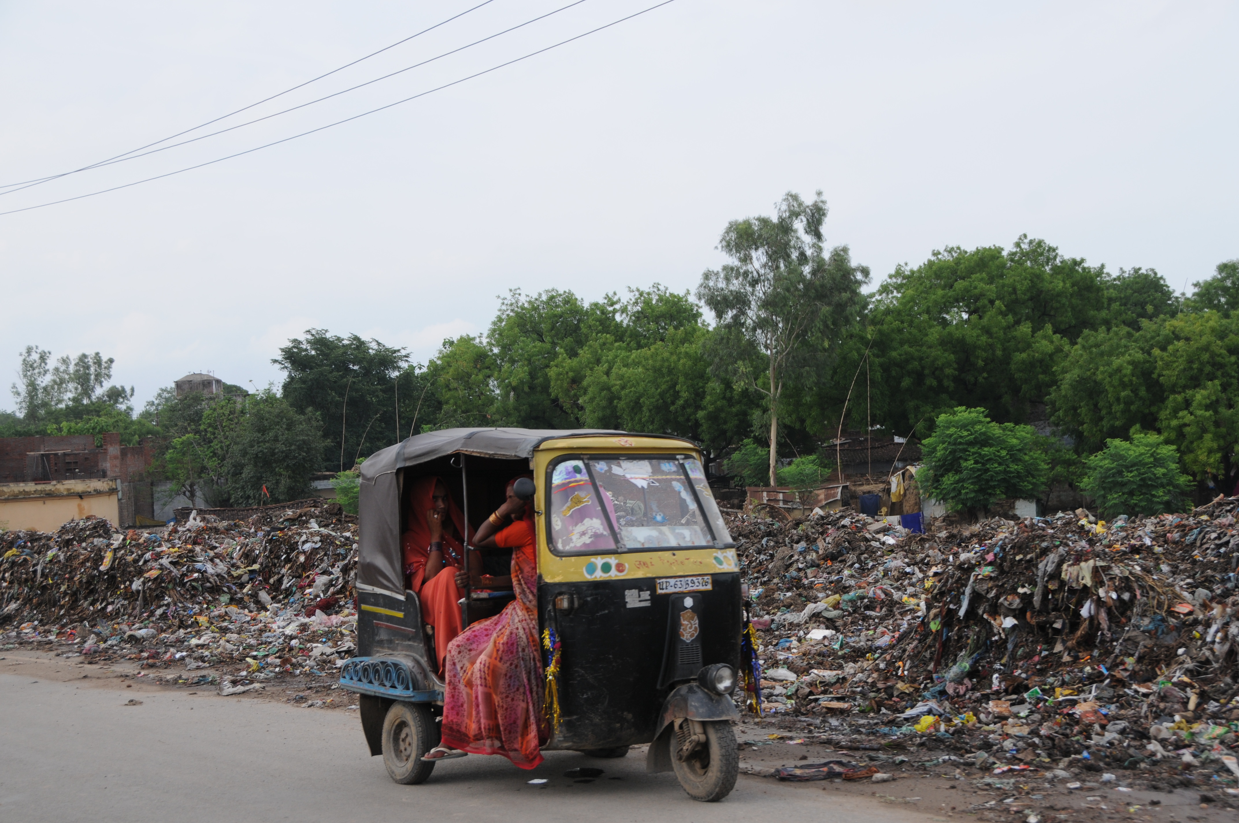
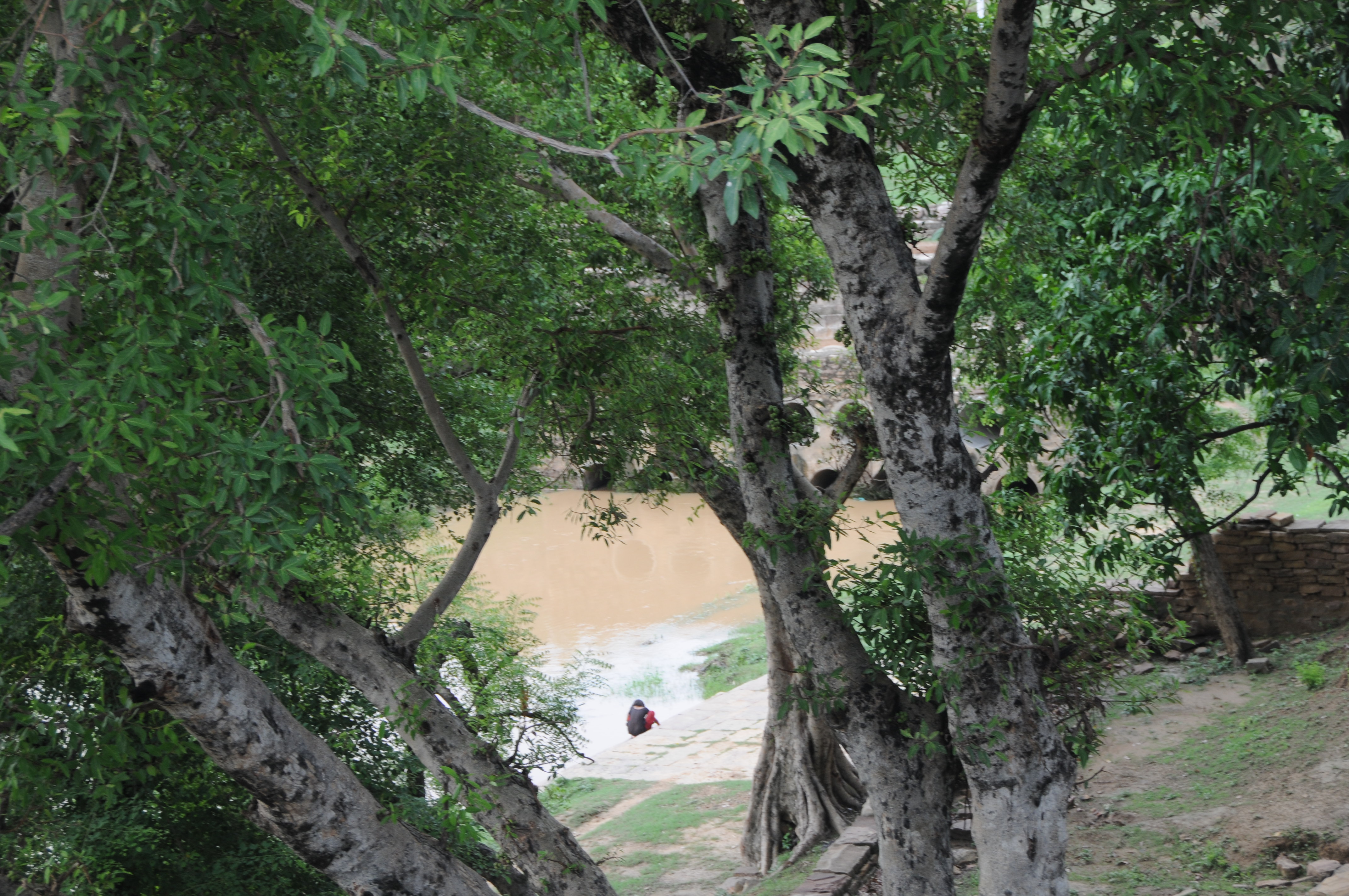
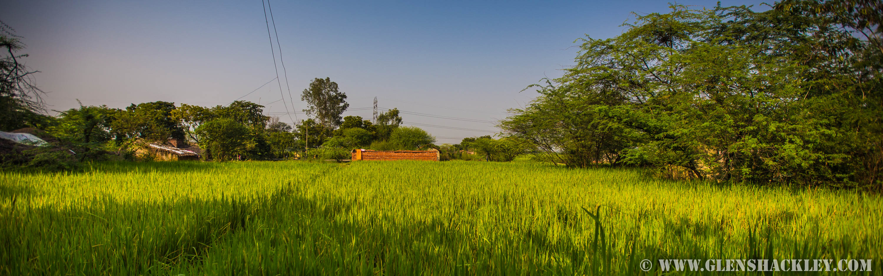
A way to life...
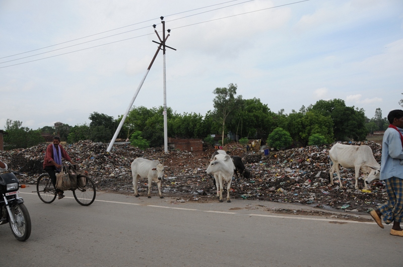
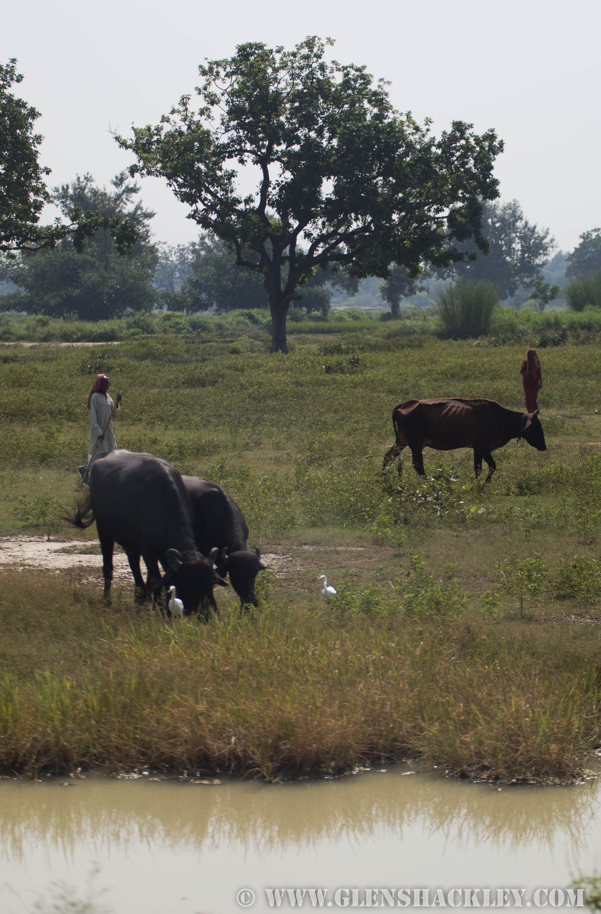
Food and fodder...
CSP_3499.JPG

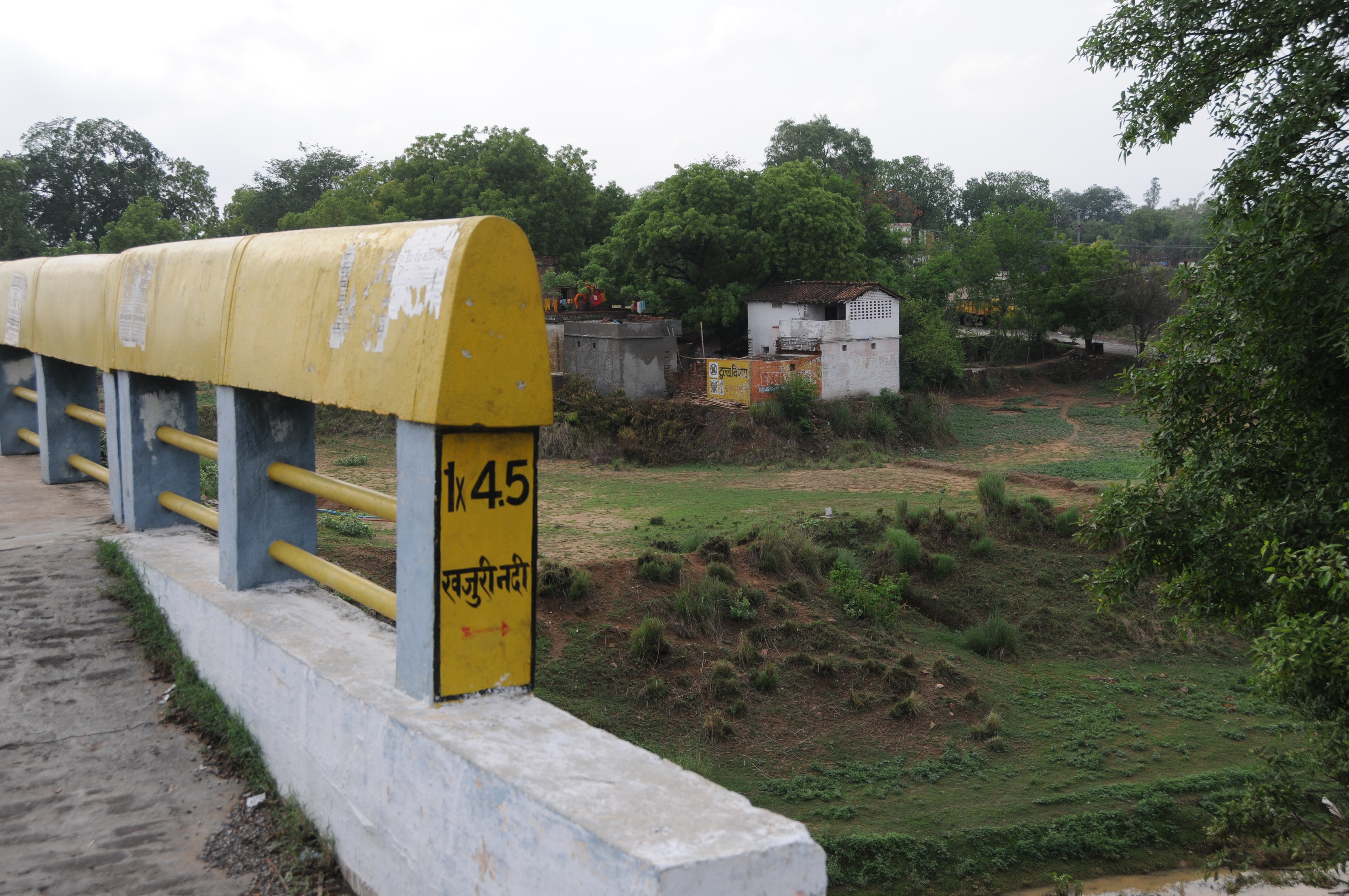
Dhauru Pur, Mirzapur and Vindhyachal, Uttar Pradesh
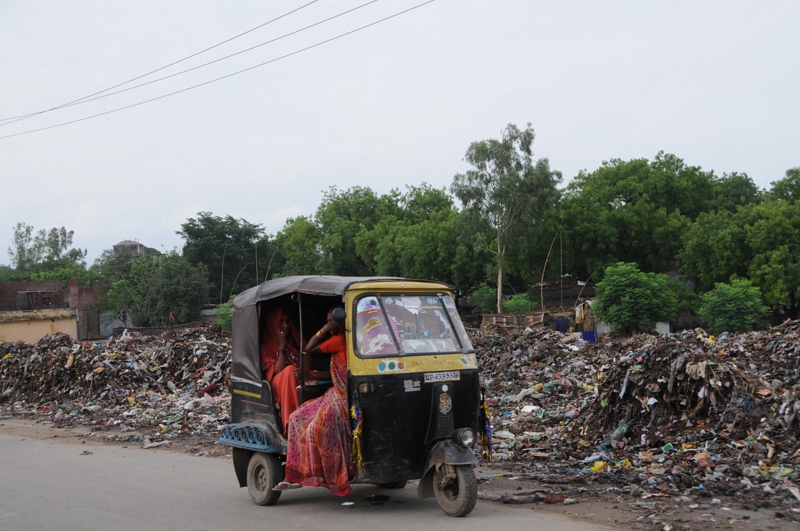
CSP_3498.JPG

CSP_3497.JPG
CSP_3495.JPG
CSP_3500.JPG
_MG_4212
_MG_3584
_MG_3588
Topographic Map of Bhogaon, Uttar Pradesh, India
Find elevation by address:

Places near Bhogaon, Uttar Pradesh, India:
Mirzapur
Mirzapur
Chitaipur
Indira Nagar Colony
Rajghat
Kaimur Range
Amiliya
Rewa
Sidhi
Singrauli
Sidhi
Recent Searches:
- Elevation of Crocker Dr, Vacaville, CA, USA
- Elevation of Pu Ngaol Community Meeting Hall, HWHM+3X7, Krong Saen Monourom, Cambodia
- Elevation of Royal Ontario Museum, Queens Park, Toronto, ON M5S 2C6, Canada
- Elevation of Groblershoop, South Africa
- Elevation of Power Generation Enterprises | Industrial Diesel Generators, Oak Ave, Canyon Country, CA, USA
- Elevation of Chesaw Rd, Oroville, WA, USA
- Elevation of N, Mt Pleasant, UT, USA
- Elevation of 6 Rue Jules Ferry, Beausoleil, France
- Elevation of Sattva Horizon, 4JC6+G9P, Vinayak Nagar, Kattigenahalli, Bengaluru, Karnataka, India
- Elevation of Great Brook Sports, Gold Star Hwy, Groton, CT, USA