Elevation of Bhinlgana Range, Uttarakhand, India
Location: India > Uttarakhand > Rudraprayag >
Longitude: 78.8609122
Latitude: 30.667893
Elevation: 2723m / 8934feet
Barometric Pressure: 73KPa
Elevation Map:
Satellite Map:
Related Photos:
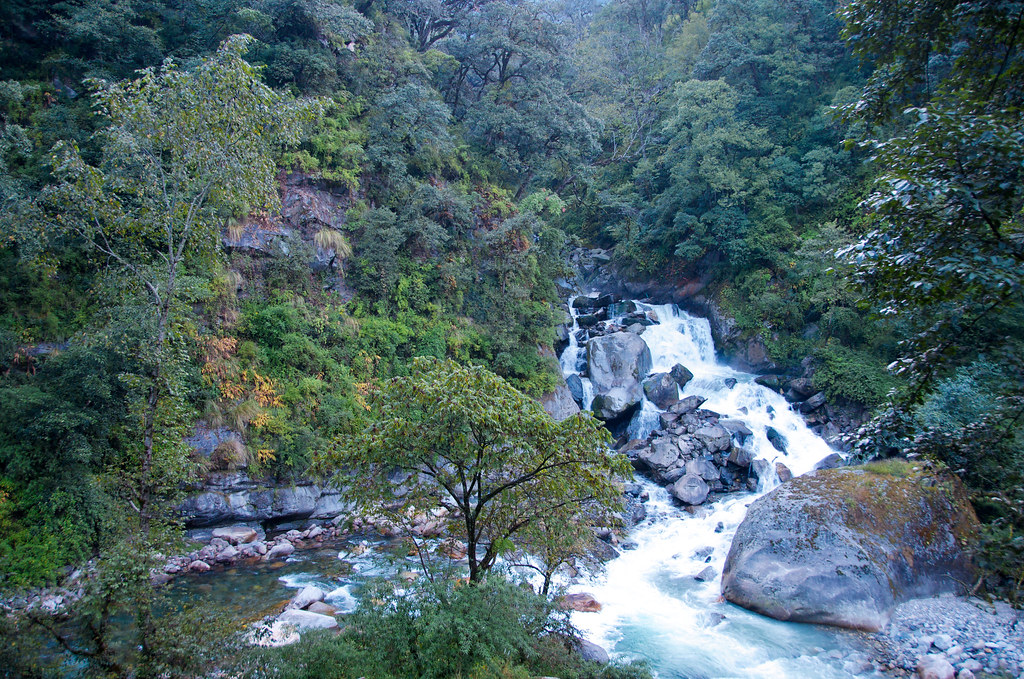
Near Sonprayag, Uttarakhand

#gaurikund #kedarnath
Topographic Map of Bhinlgana Range, Uttarakhand, India
Find elevation by address:

Places in Bhinlgana Range, Uttarakhand, India:
Places near Bhinlgana Range, Uttarakhand, India:
Bhilangna River
Sonprayag
Kedarnath
Kedarnath Temple
Thalay Sagar
Kabiltha
Kalimath
Byunkhi
Byunkhi
Bazeera
Meru Peak
Rudraprayag
Ukhimath
Chirbatiya Forest Rest House
Ransi
Raunlek
Shivling
Tuneta
Chandrapuri
India Post Chandra Puri
Recent Searches:
- Elevation of Woodland Oak Pl, Thousand Oaks, CA, USA
- Elevation of Brownsdale Rd, Renfrew, PA, USA
- Elevation of Corcoran Ln, Suffolk, VA, USA
- Elevation of Mamala II, Sariaya, Quezon, Philippines
- Elevation of Sarangdanda, Nepal
- Elevation of 7 Waterfall Way, Tomball, TX, USA
- Elevation of SW 57th Ave, Portland, OR, USA
- Elevation of Crocker Dr, Vacaville, CA, USA
- Elevation of Pu Ngaol Community Meeting Hall, HWHM+3X7, Krong Saen Monourom, Cambodia
- Elevation of Royal Ontario Museum, Queens Park, Toronto, ON M5S 2C6, Canada