Elevation map of Bhandara, Maharashtra, India
Location: India > Maharashtra >
Longitude: 79.8296743
Latitude: 21.0736452
Elevation: 264m / 866feet
Barometric Pressure: 98KPa
Elevation Map:
Satellite Map:
Related Photos:
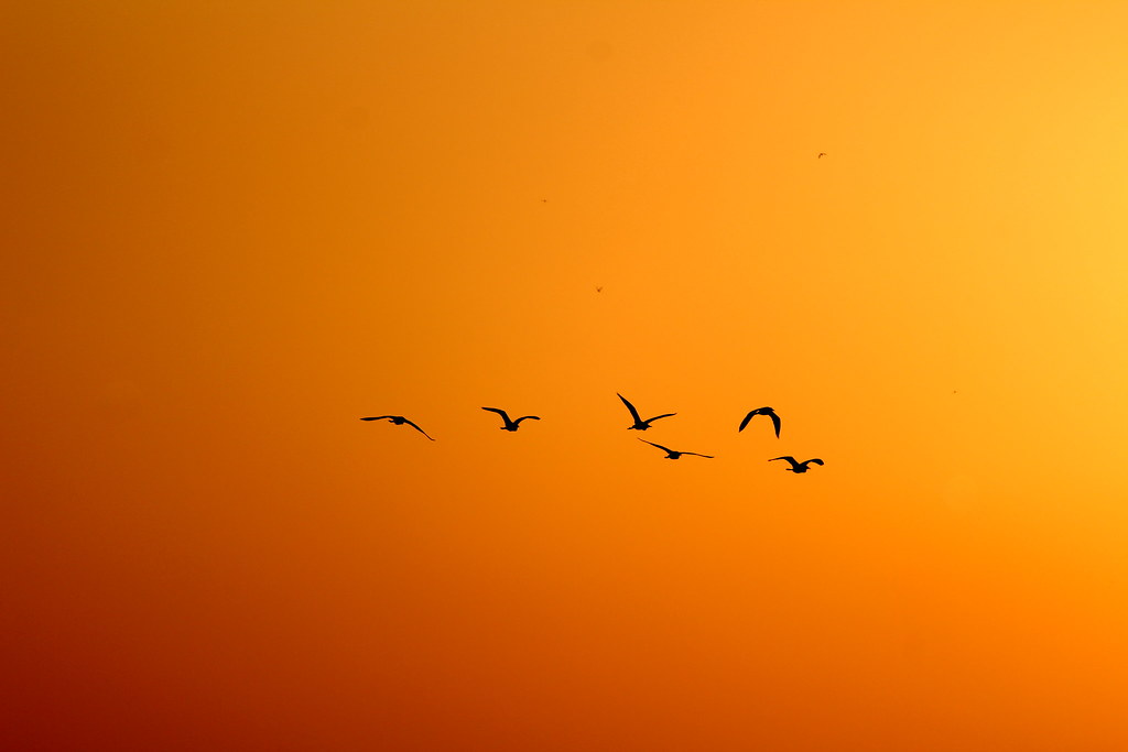
Time To Go Home...
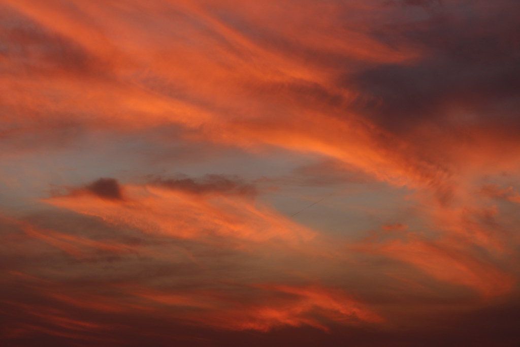
Fantastic Colors..
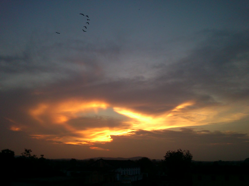
Twilight..
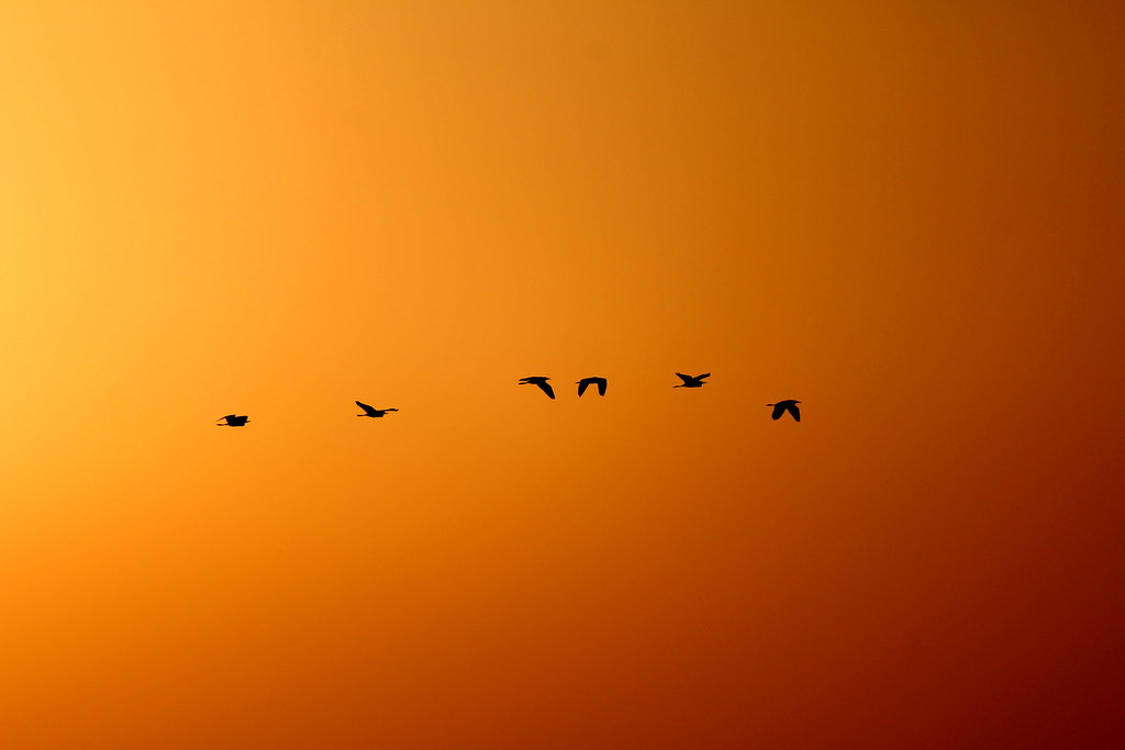
From Light To Dark..
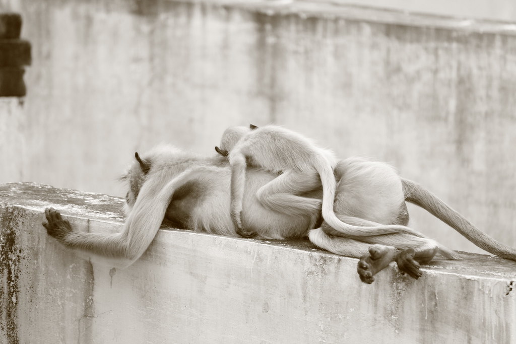
Best Sleep Ever..

What Happen...
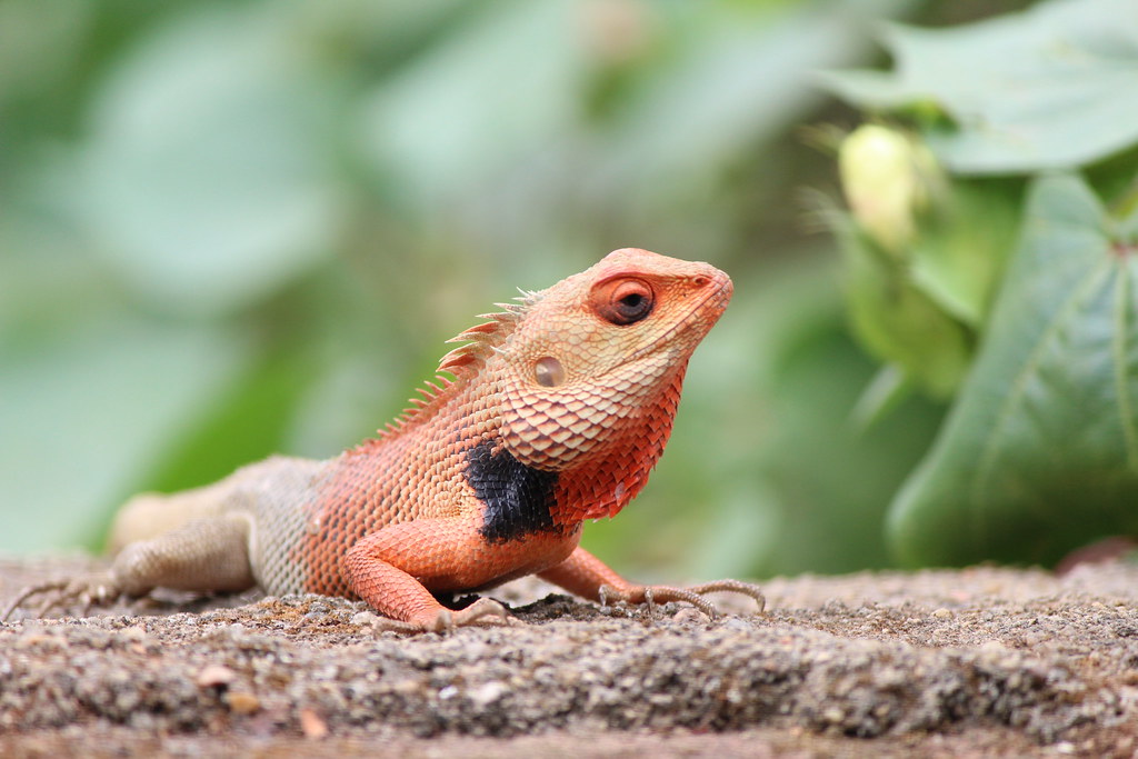
Garden Lizard..
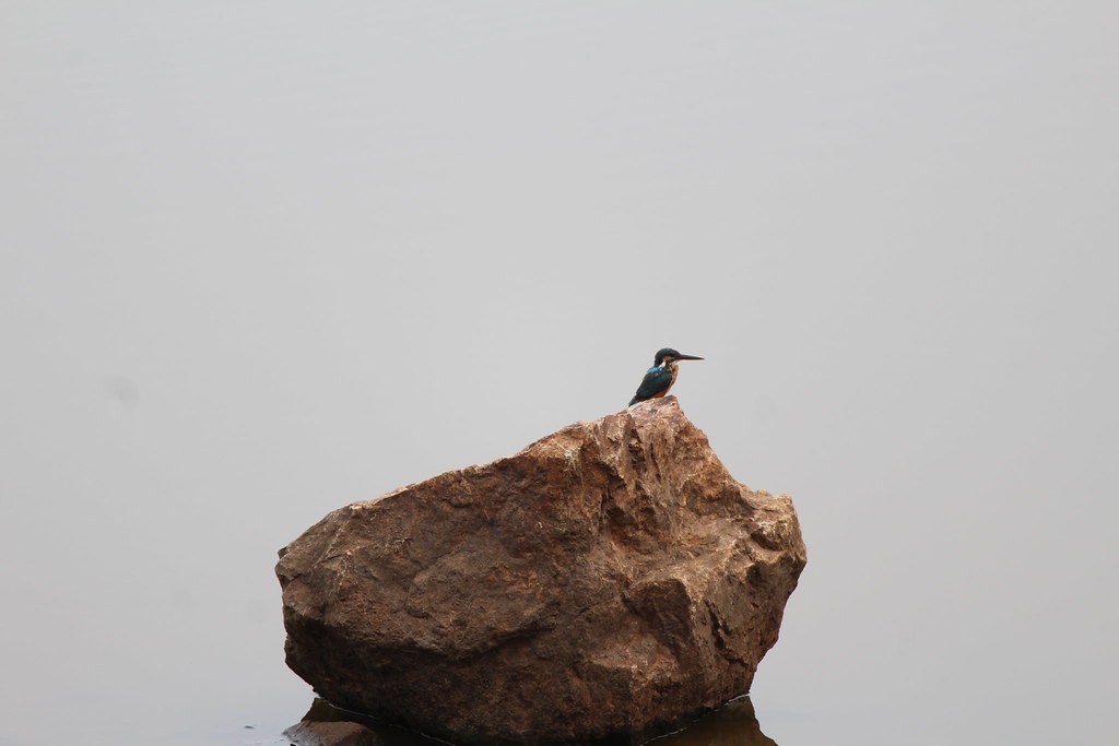
Baby of Kingfisher..
Family Drink...
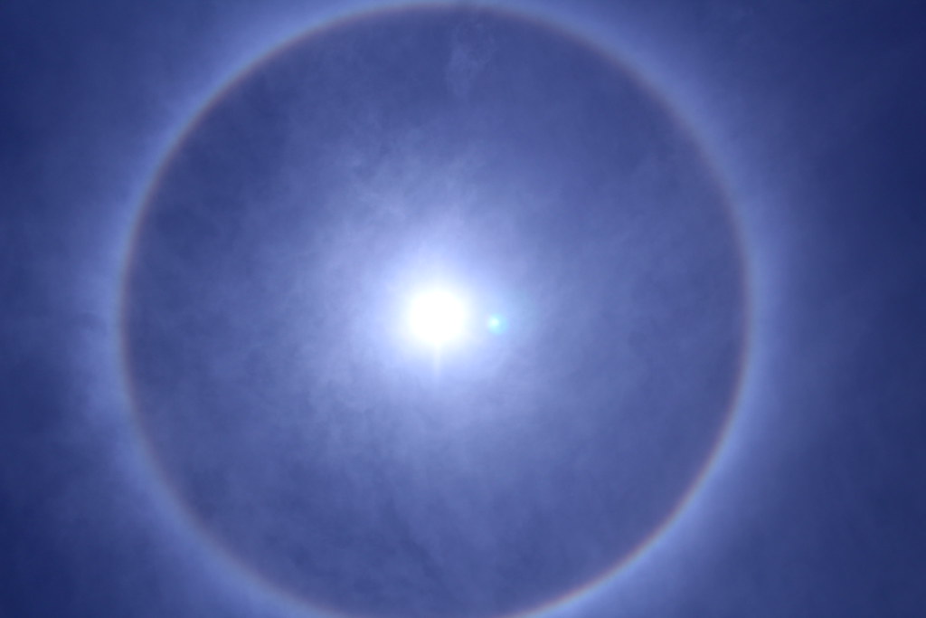
Halo around the Sun
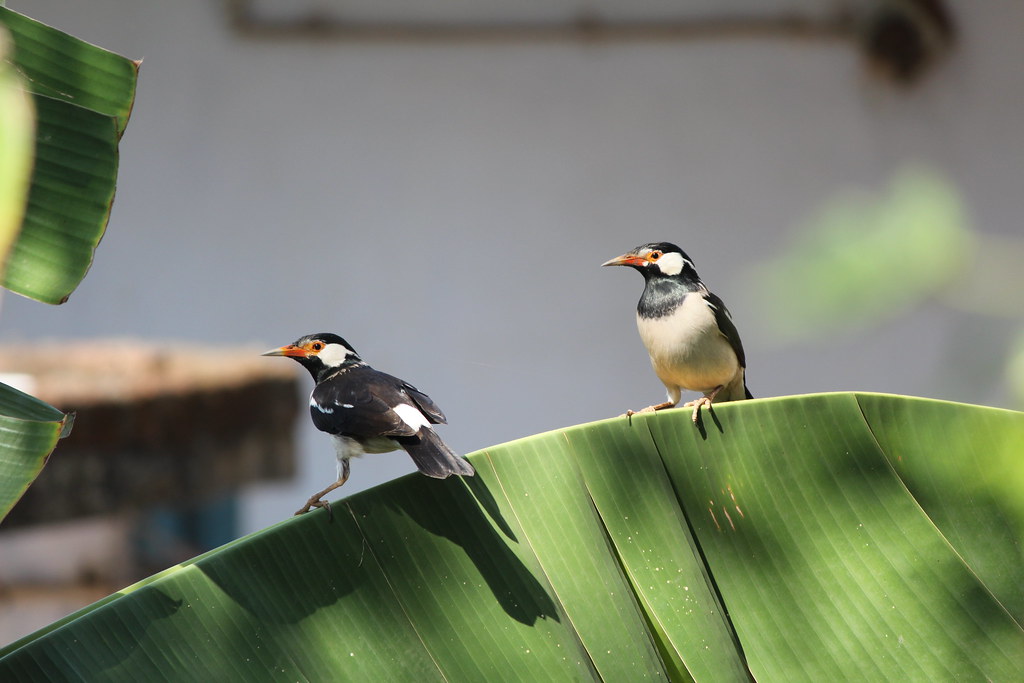
Asian pied starling, ablaki myna

Tasty Breakfast

Selfie wid Sunset..

Little Garden Lizard's

The Ravanwadi Lake
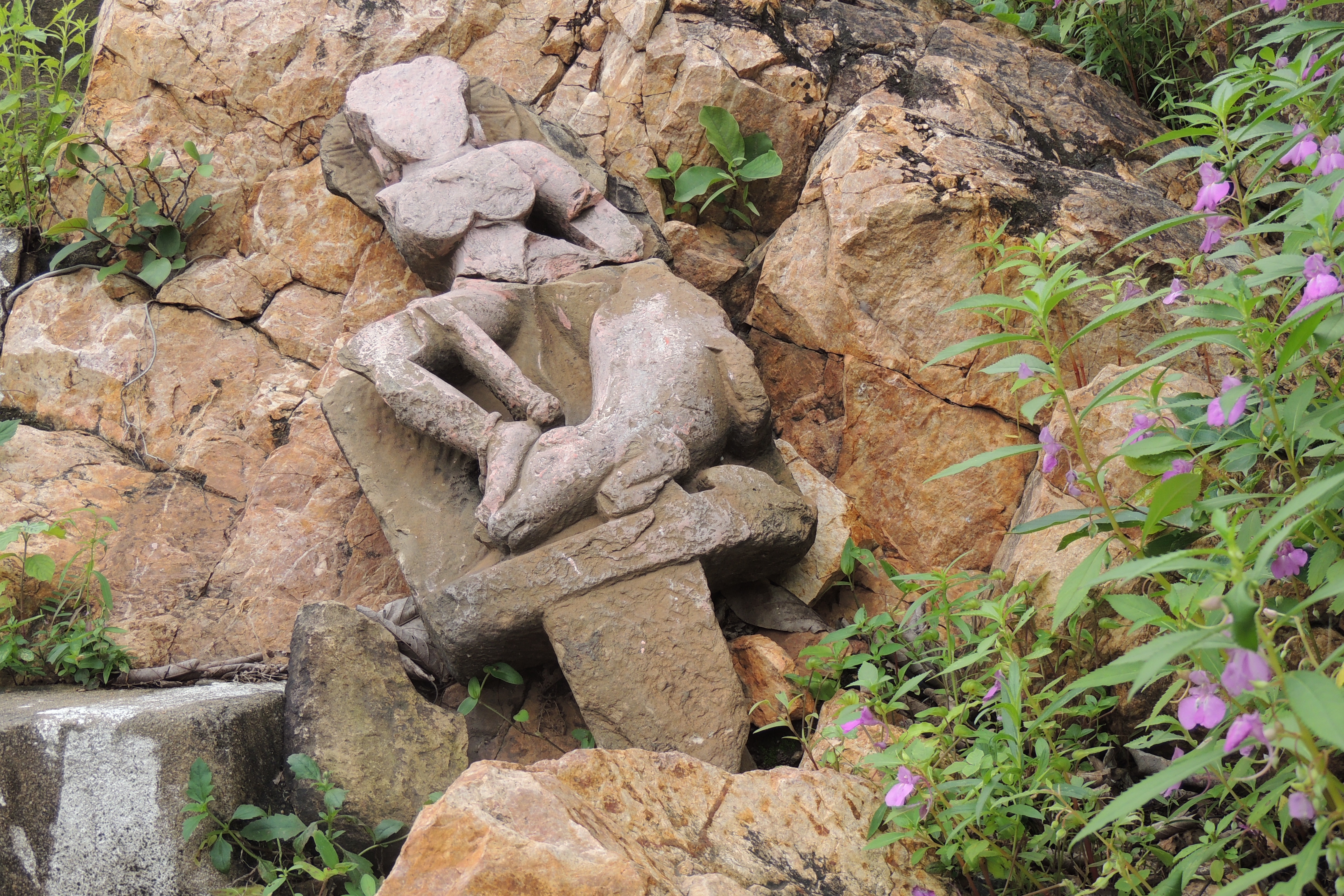
Long Lost Sculpture Of Ravanwadi Lake (Ravanwadi, Dist - Bhandara)
Topographic Map of Bhandara, Maharashtra, India
Find elevation by address:

Places in Bhandara, Maharashtra, India:
Places near Bhandara, Maharashtra, India:
Rawanwadi
Borgaon Kh.
Chandrapur
India
Mul
Agarzari Gate Tadoba
Agarzari
Nagri
Chichpalli
Chandrapur
Recent Searches:
- Elevation of 62 Abbey St, Marshfield, MA, USA
- Elevation of Fernwood, Bradenton, FL, USA
- Elevation of Felindre, Swansea SA5 7LU, UK
- Elevation of Leyte Industrial Development Estate, Isabel, Leyte, Philippines
- Elevation of W Granada St, Tampa, FL, USA
- Elevation of Pykes Down, Ivybridge PL21 0BY, UK
- Elevation of Jalan Senandin, Lutong, Miri, Sarawak, Malaysia
- Elevation of Bilohirs'k
- Elevation of 30 Oak Lawn Dr, Barkhamsted, CT, USA
- Elevation of Luther Road, Luther Rd, Auburn, CA, USA