Elevation of Bhagatpur Tea Garden, West Bengal, India
Location: India > West Bengal > Jalpaiguri >
Longitude: 88.9270182
Latitude: 26.89287
Elevation: 198m / 650feet
Barometric Pressure: 99KPa
Elevation Map:
Satellite Map:
Related Photos:
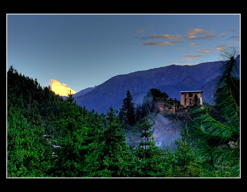
Mount Jomolhari - Paro

CSP_4160.JPG

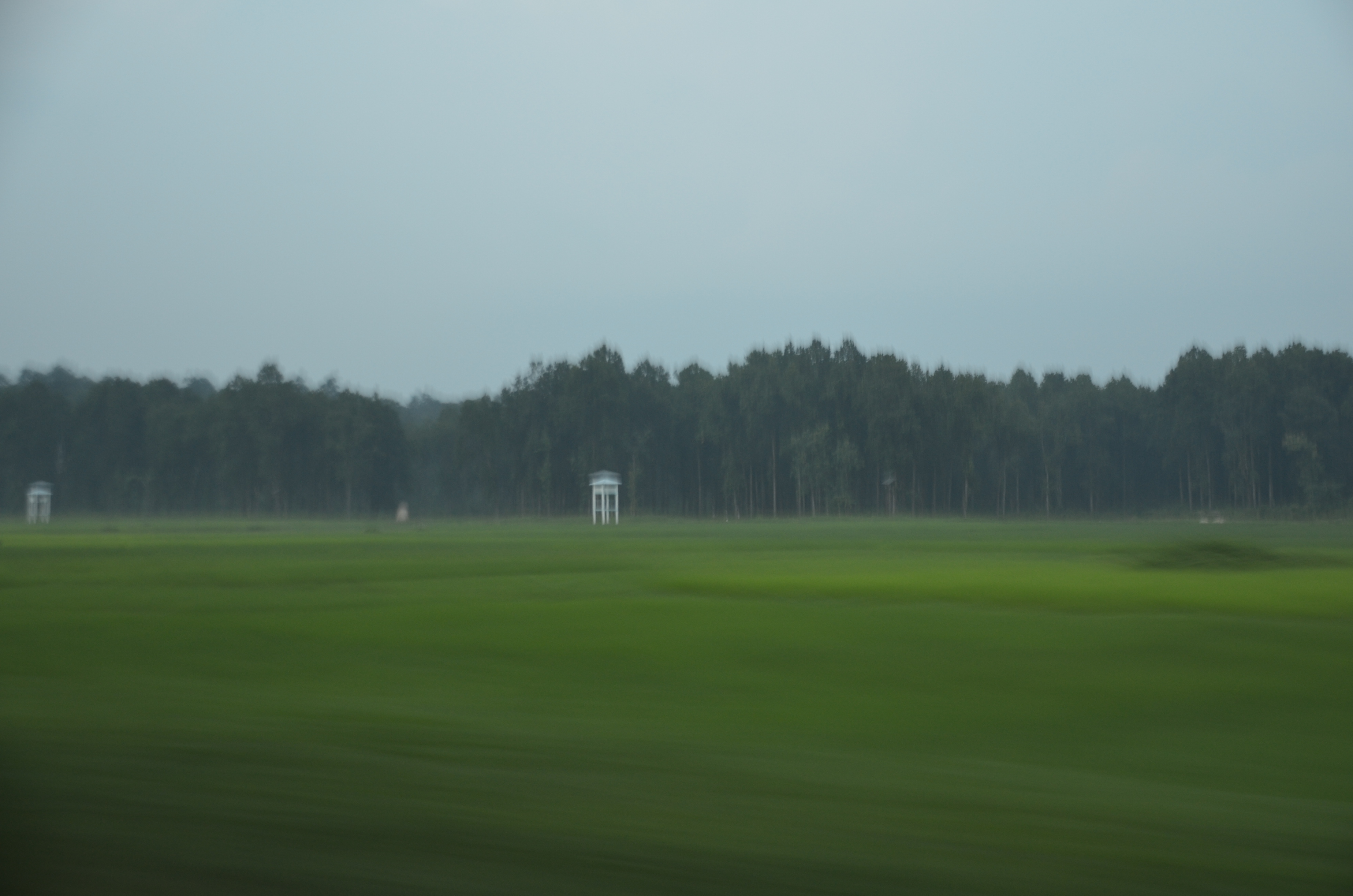
Sukhanibasti, West Bengal

CSP_4161.JPG
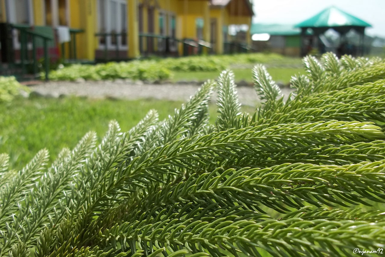
Dooars_Macro Resort

Dooars_Tea Gardens
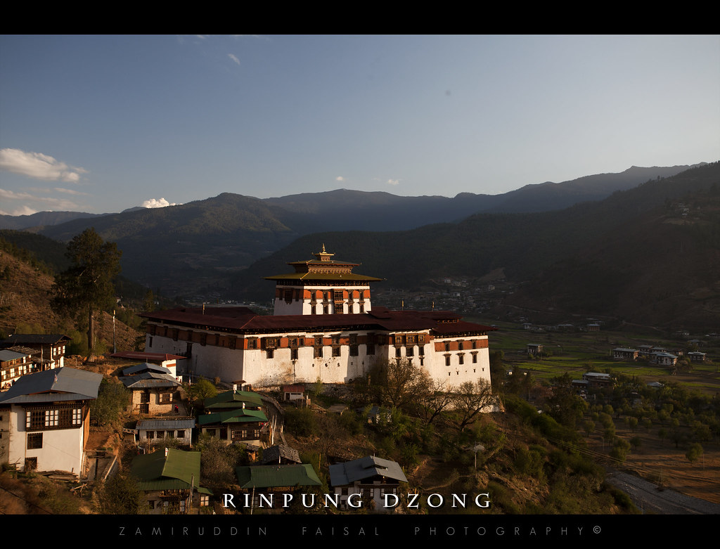
Rinpung Dzong

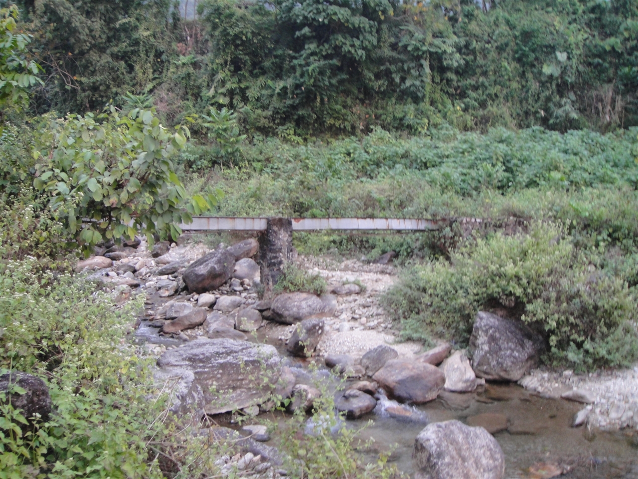
Bolder zone...
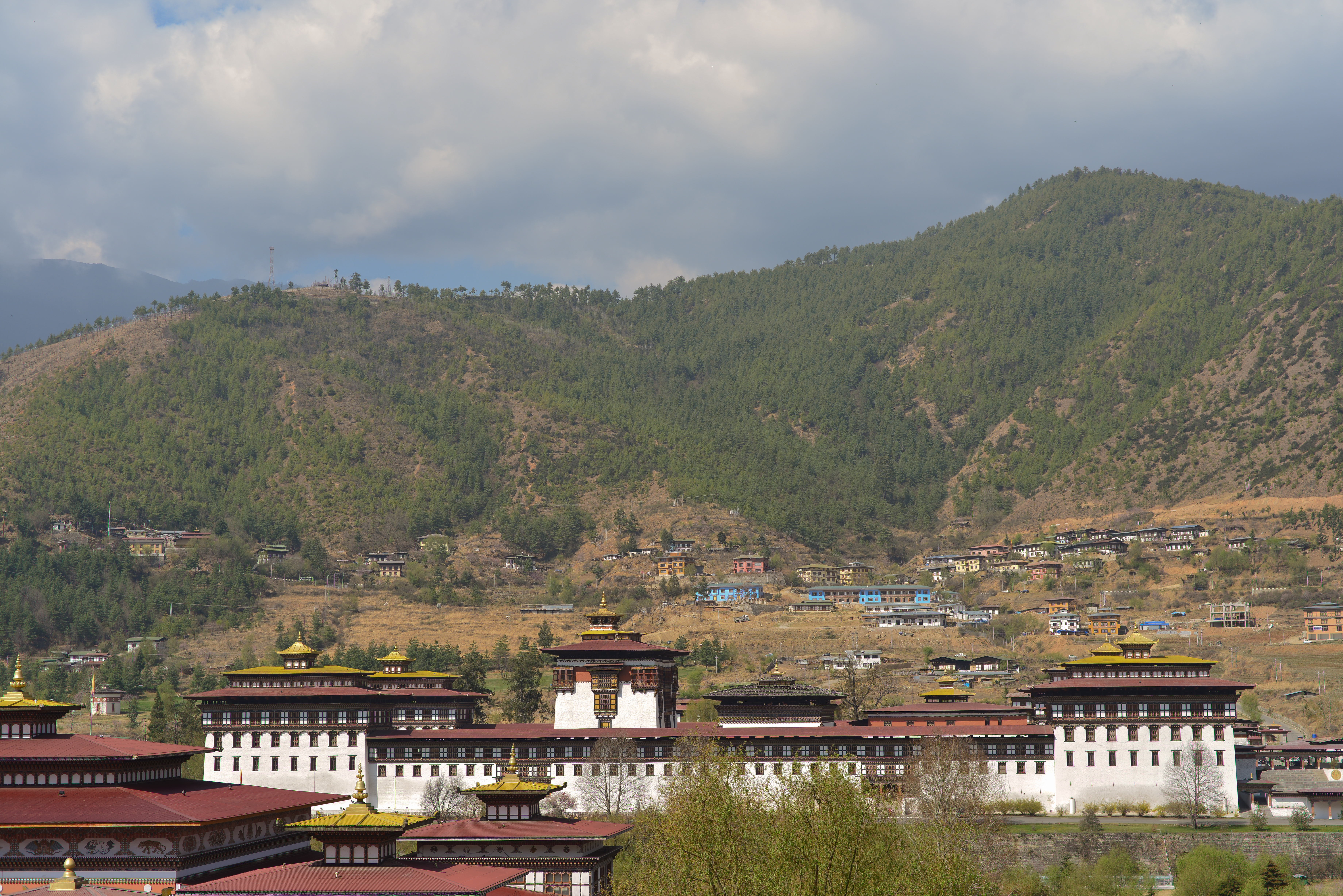
Tashichho Dzong 2013-03-27
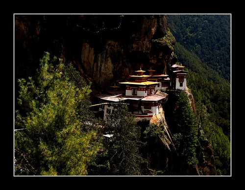
Taktsang Lakhang

Tibetan Monk
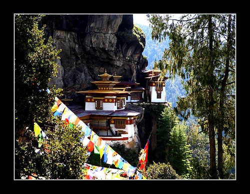
Taktsang Lakhang
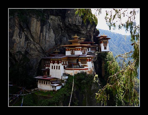
Taktsang Lakhang
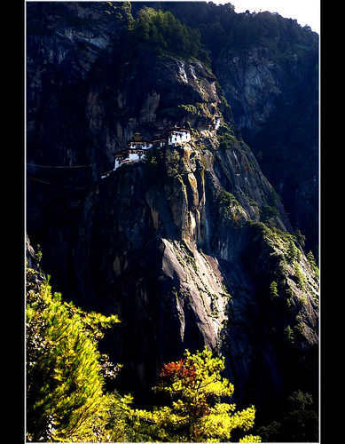
Taktsang Lakhang
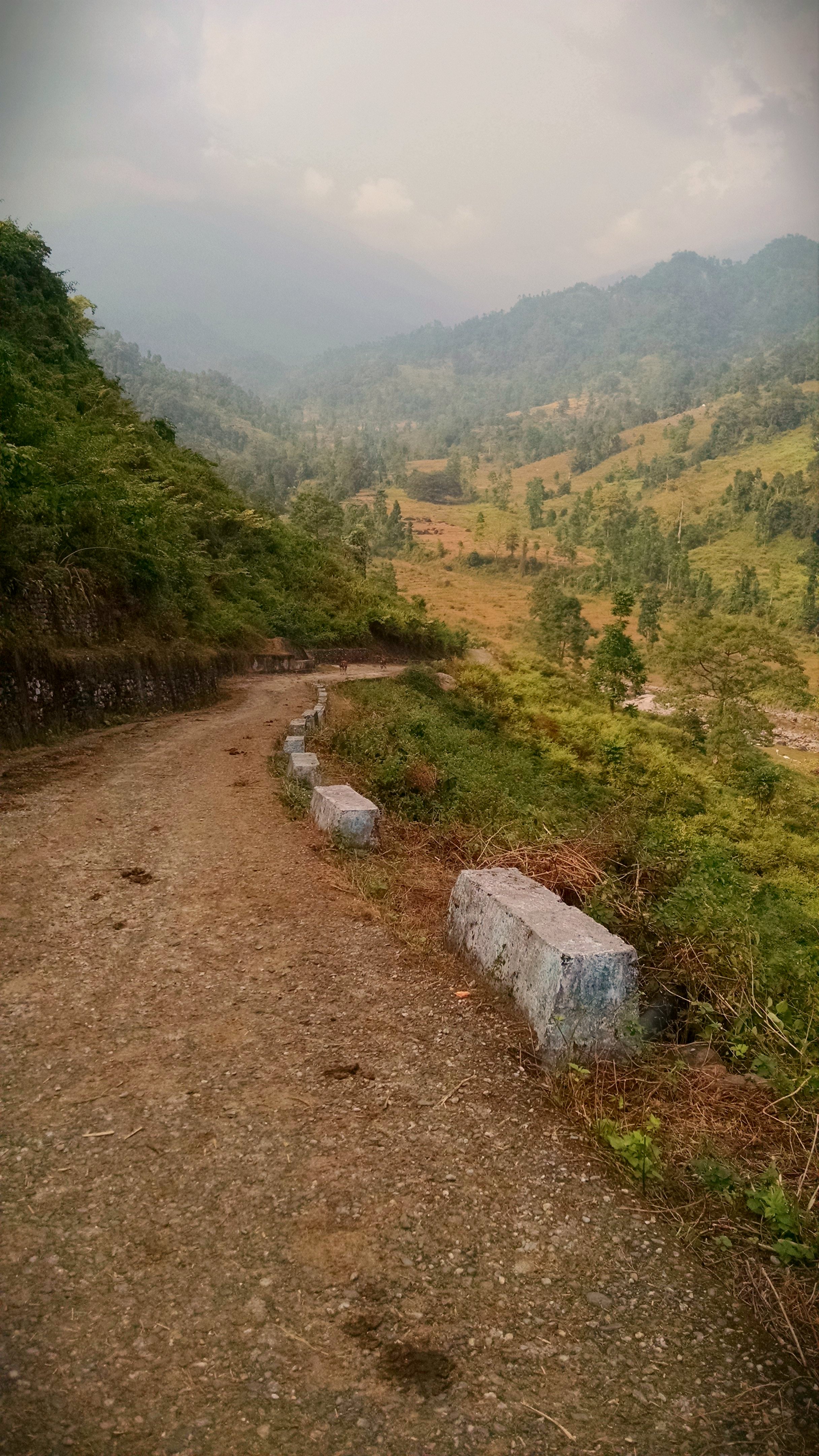
18. Lower Gatia.JPG
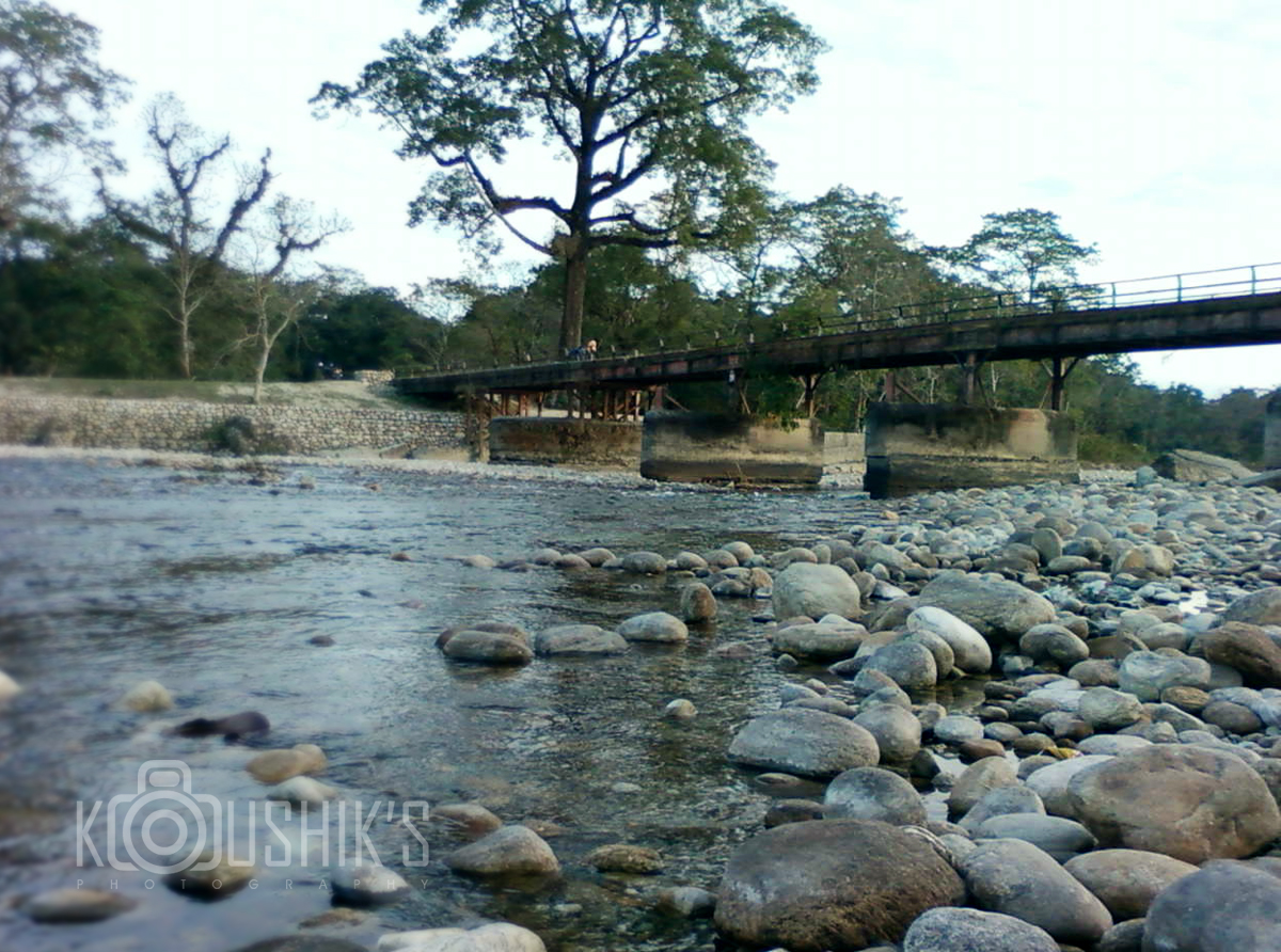
Murti river...
2014-12-20_09-28-36
ספטמבר 9 - 17·56 - Rickshawrun4 195
Topographic Map of Bhagatpur Tea Garden, West Bengal, India
Find elevation by address:

Places near Bhagatpur Tea Garden, West Bengal, India:
Nagrakata
Jaldhaka
Kalabari Tea Garden N
Bamandanga Tea Garden
Dooars Tour
Batabari Godown (tea-estate)
Soongachi Tea Estate More
Bara Dighi Tea Garden
Bara Dighi
Jadabpur Tea Garden
Nedam Jhora Tea Garden
Mal Bazar
Haihaipathar
Kumlai Tea Garden
Damdim Tea Garden
Betbari Tea Garden
Anandapur Tea Garden
Kailash Pur Tea Estate
Dakshin Hanskhali
Odlabari Tea Garden
Recent Searches:
- Elevation of Co Rd 87, Jamestown, CO, USA
- Elevation of Tenjo, Cundinamarca, Colombia
- Elevation of Côte-des-Neiges, Montreal, QC H4A 3J6, Canada
- Elevation of Bobcat Dr, Helena, MT, USA
- Elevation of Zu den Ihlowbergen, Althüttendorf, Germany
- Elevation of Badaber, Peshawar, Khyber Pakhtunkhwa, Pakistan
- Elevation of SE Heron Loop, Lincoln City, OR, USA
- Elevation of Slanický ostrov, 01 Námestovo, Slovakia
- Elevation of Spaceport America, Co Rd A, Truth or Consequences, NM, USA
- Elevation of Warwick, RI, USA