Elevation of Beverly Hills Dr, East Wakefield, NH, USA
Location: United States > New Hampshire > Carroll County > Wakefield > East Wakefield >
Longitude: -70.993258
Latitude: 43.6455056
Elevation: 189m / 620feet
Barometric Pressure: 99KPa
Elevation Map:
Satellite Map:
Related Photos:
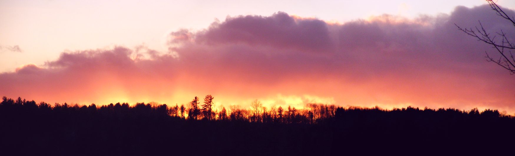
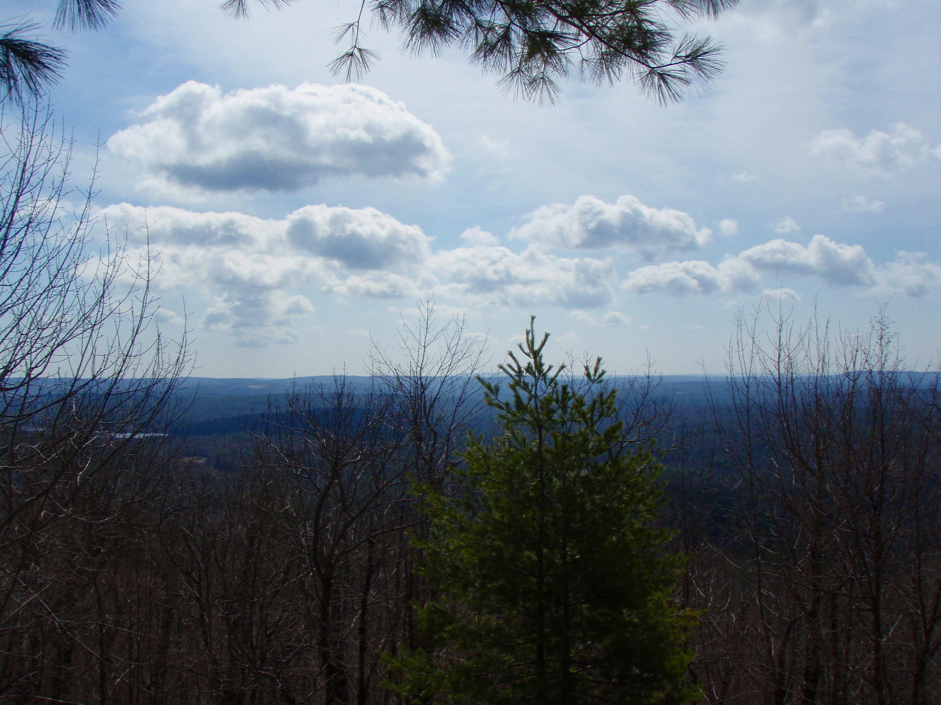
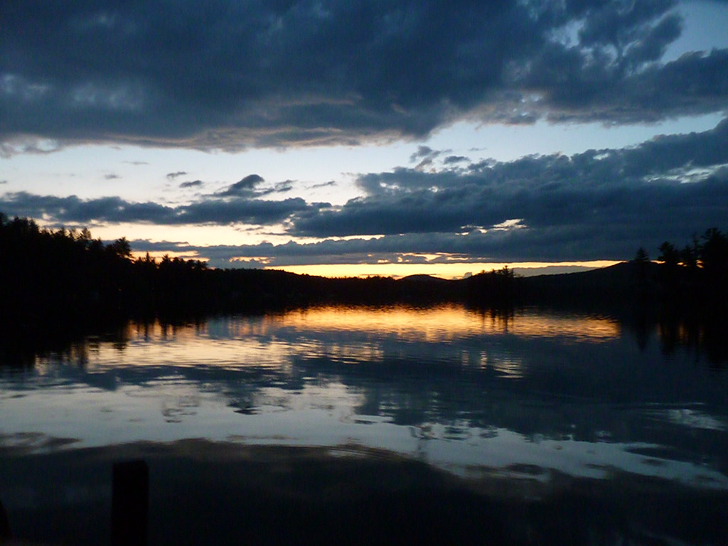
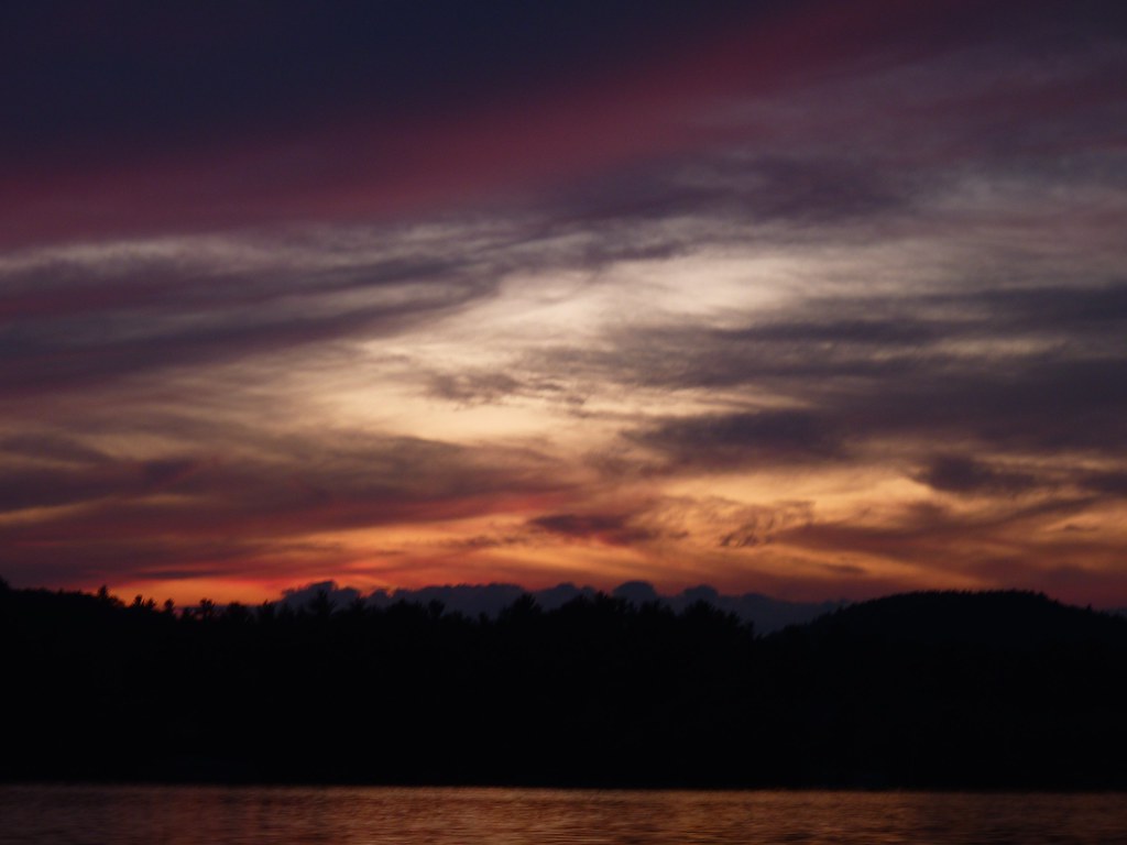
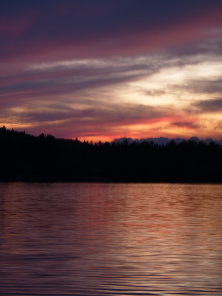
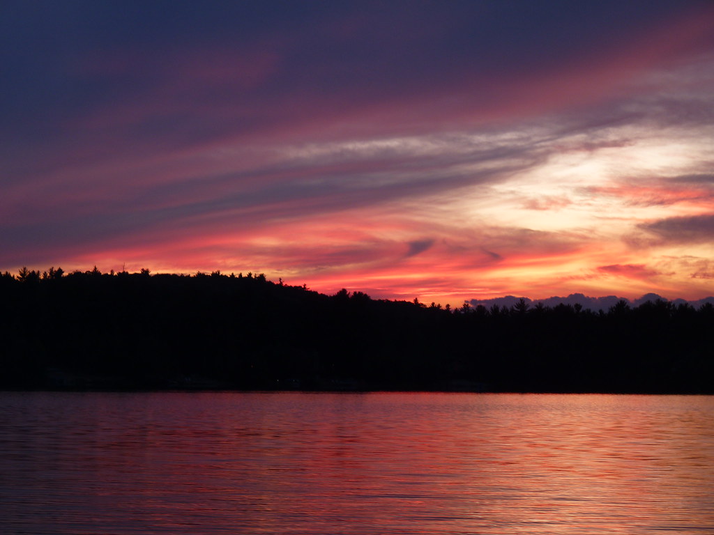
"Clearing Skies"

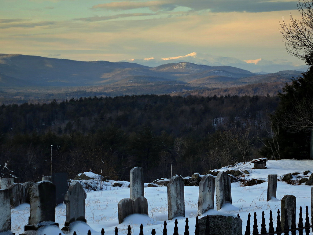
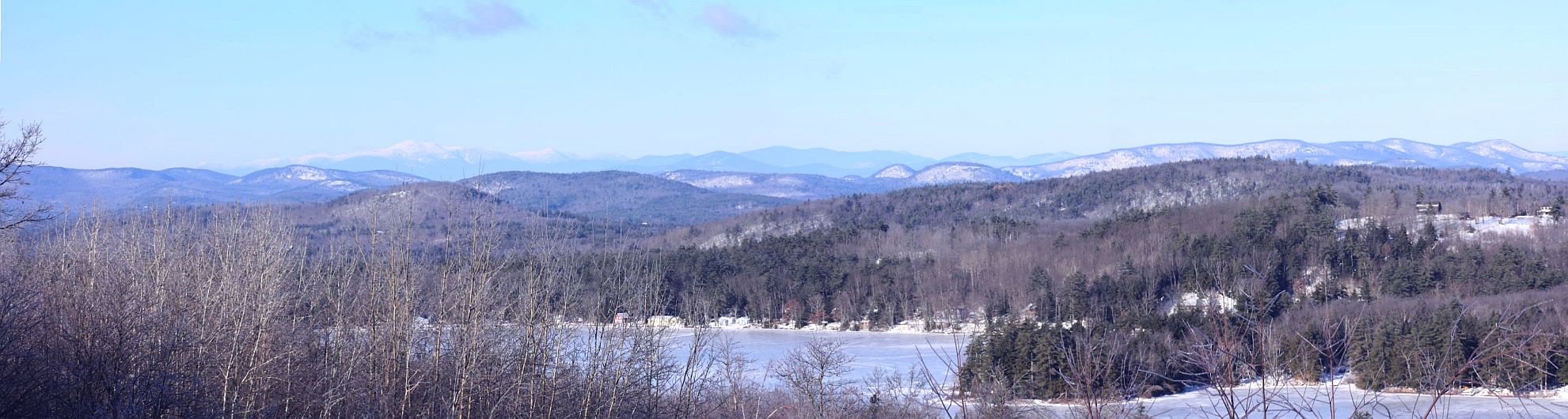
White Mountains View
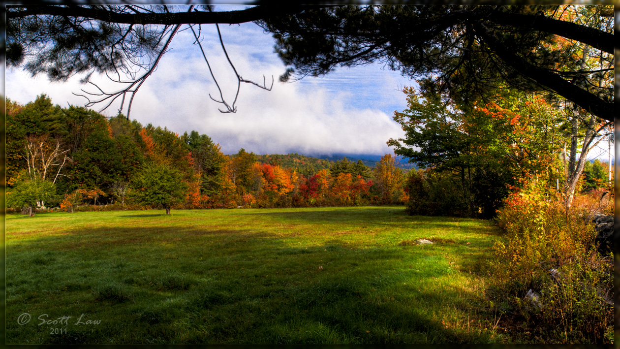
Fall Colors in Kezar Falls
Mt Washington (Presidential Range) 12.01.28 1376
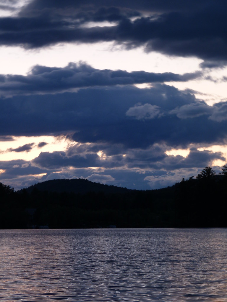
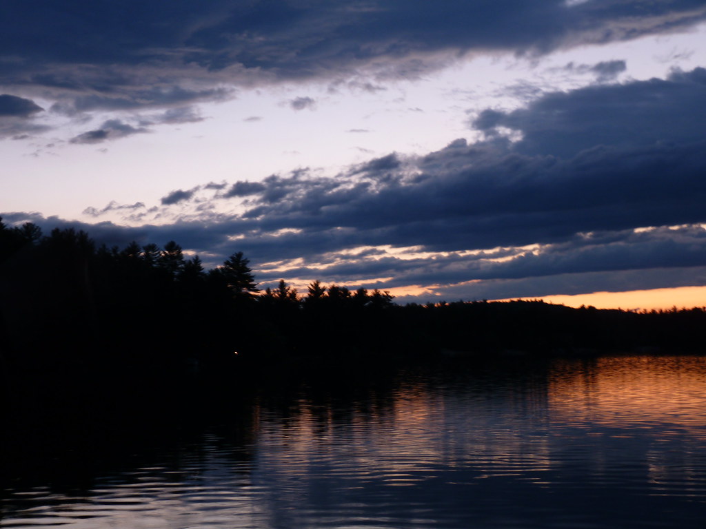
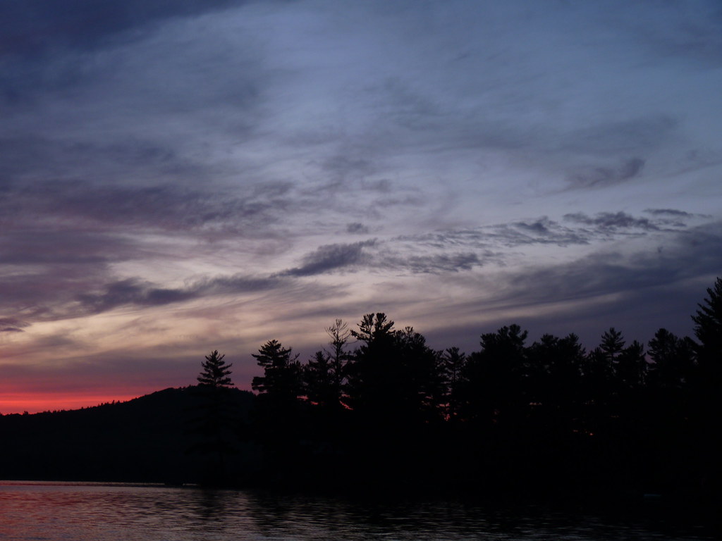
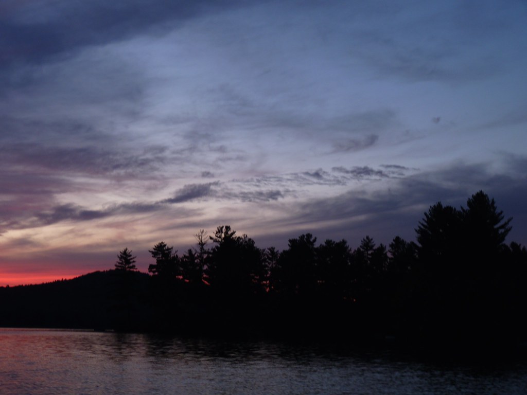
2013_1124Sunset-Pano0004
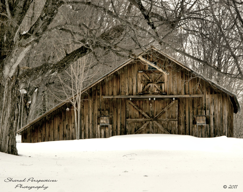
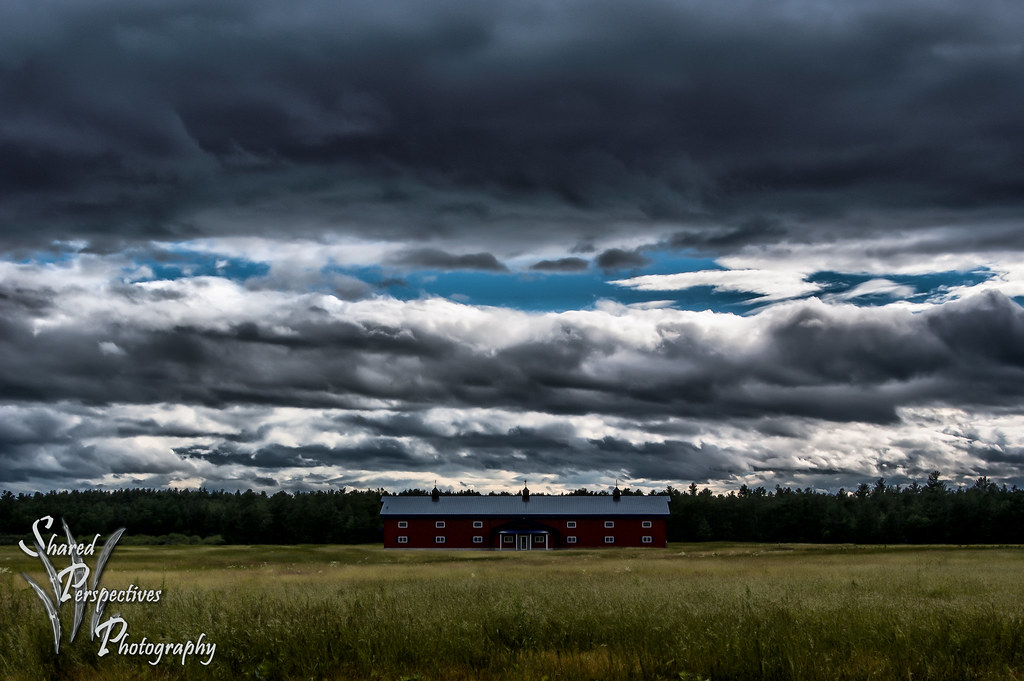
Parsonsfield Barn
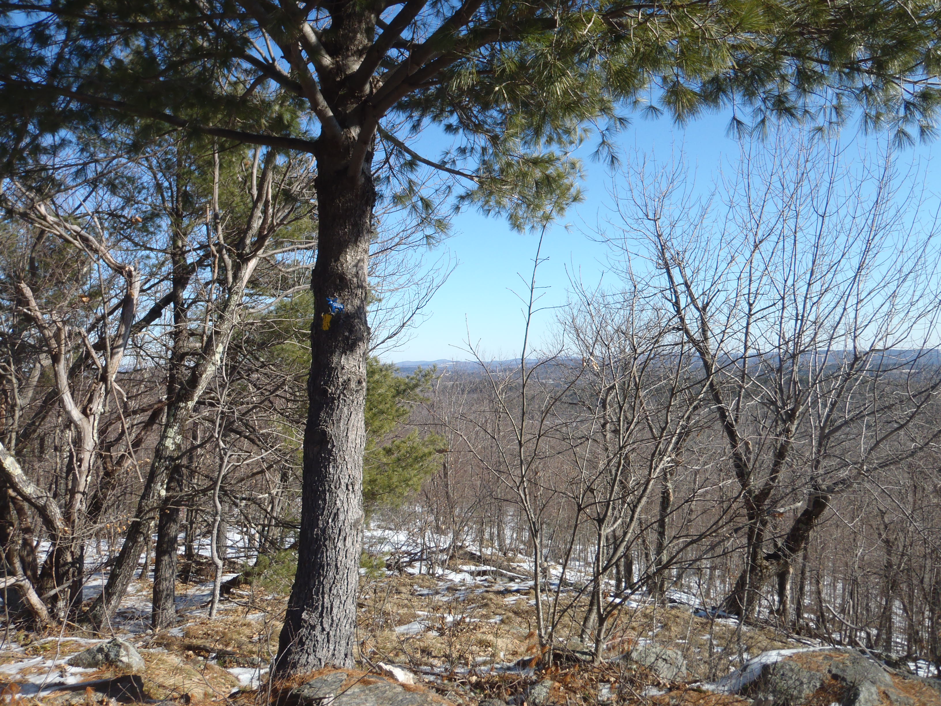
View from upper landing on North Trail
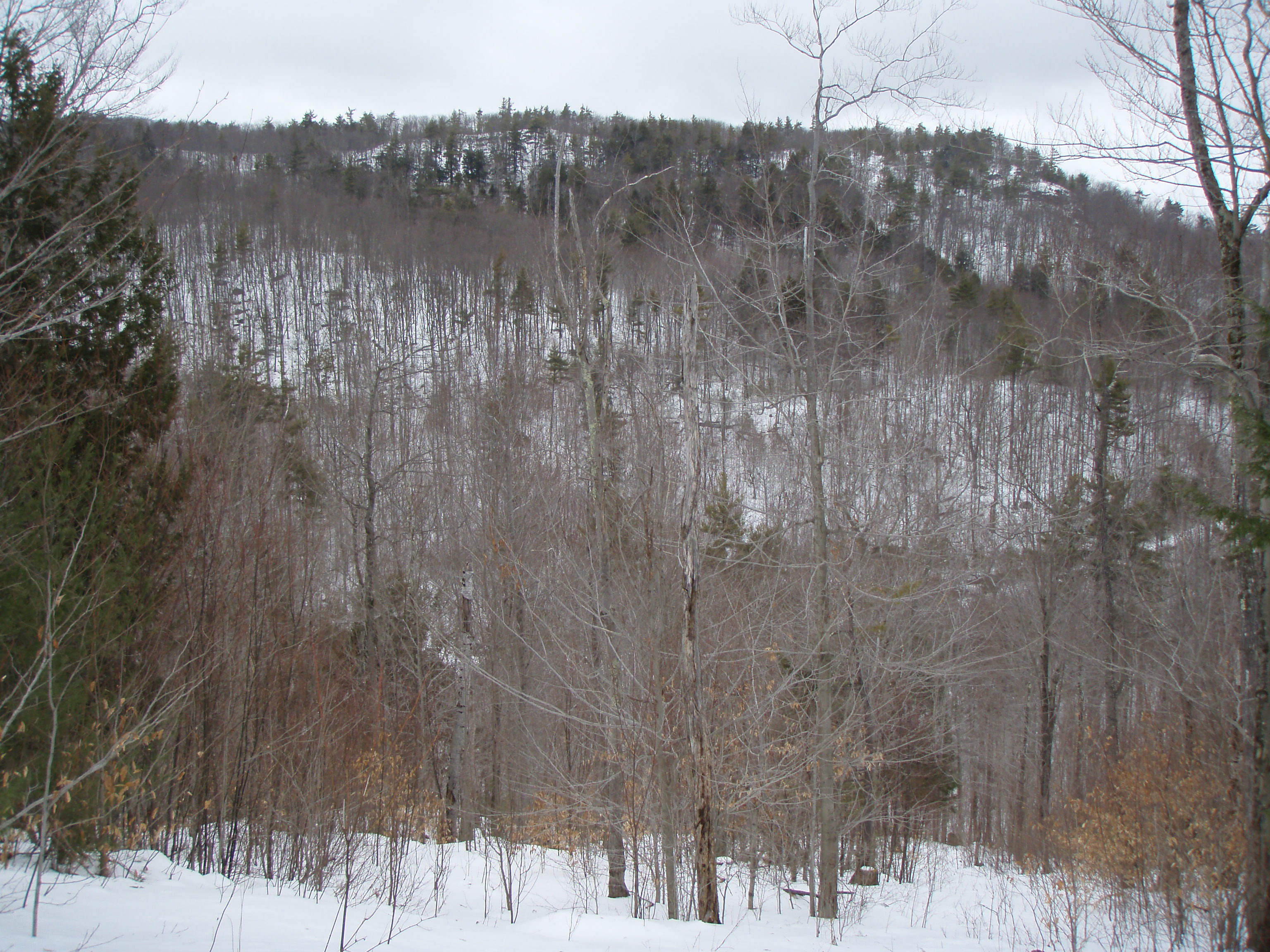
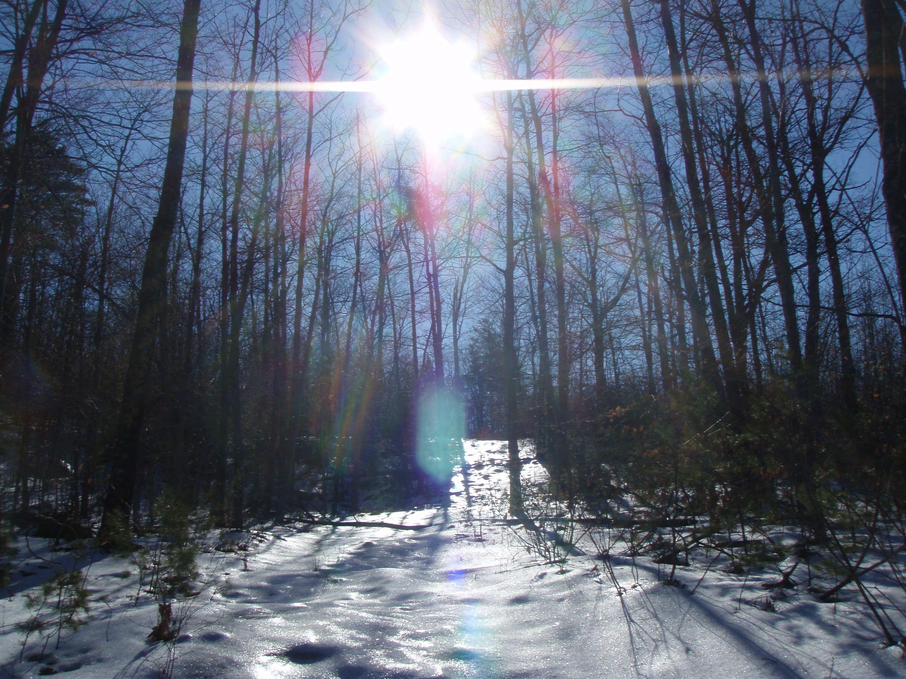
Winter Solitude
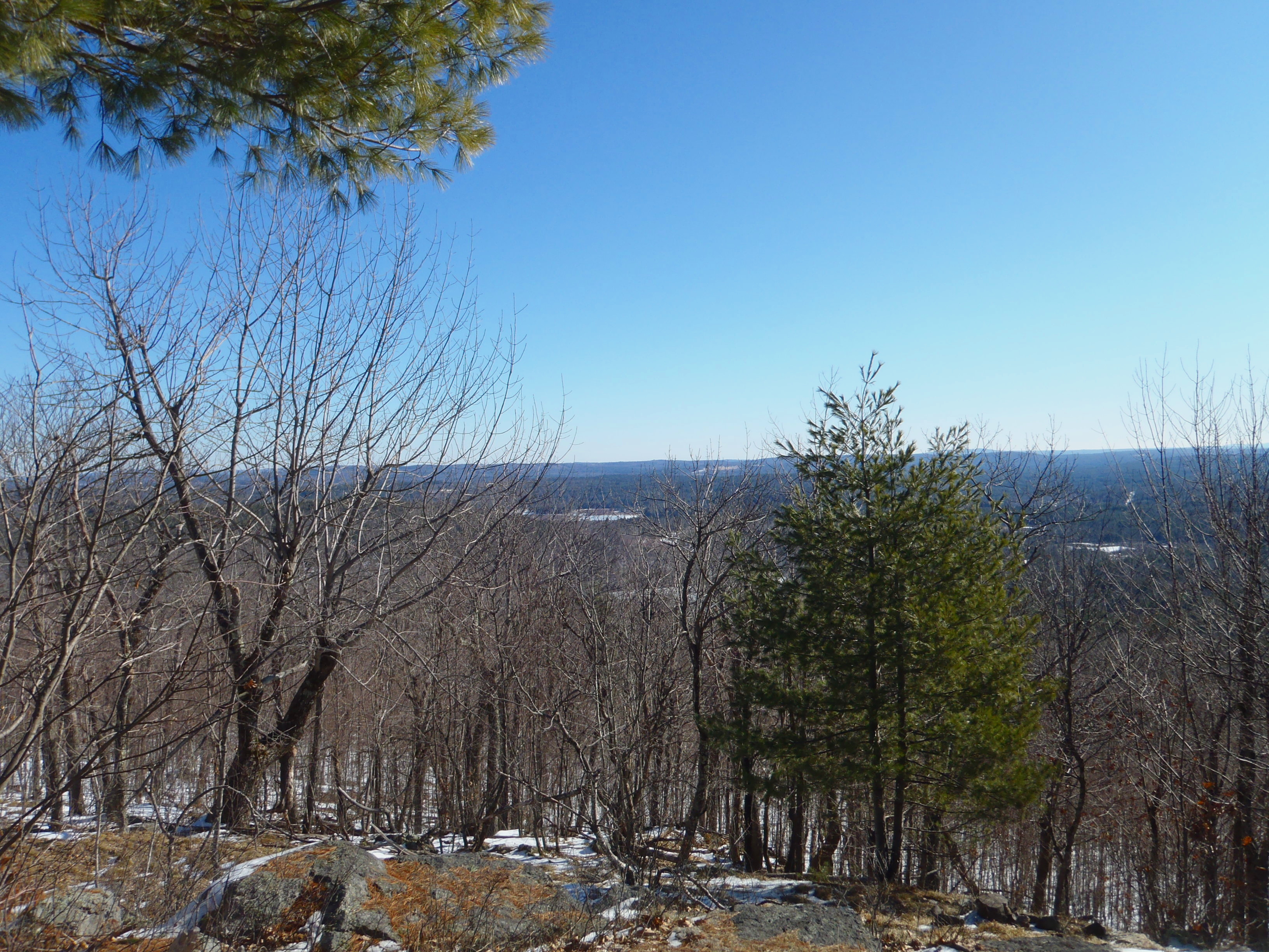
North View trail

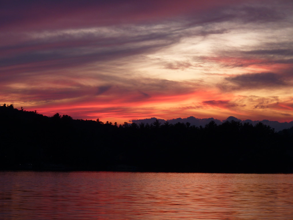
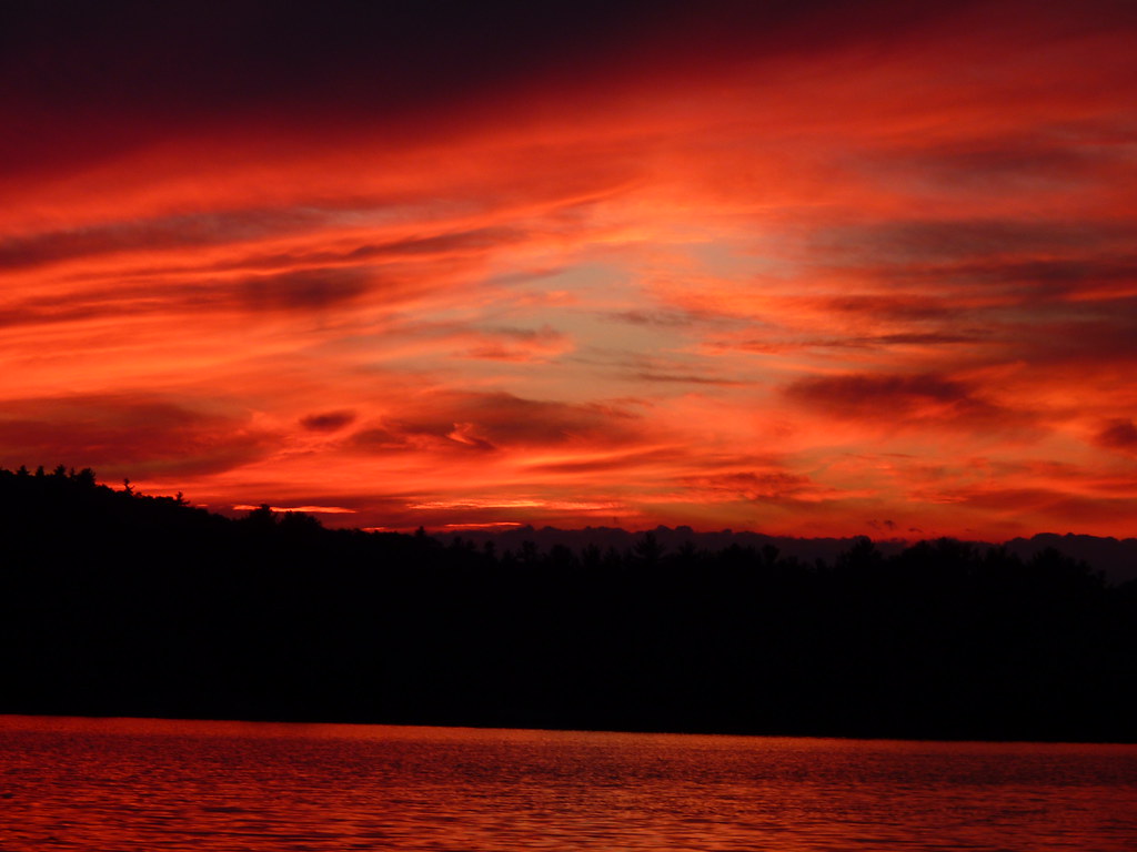
Snowy Morning Sunrise
View to Beauty & Boulder ledges
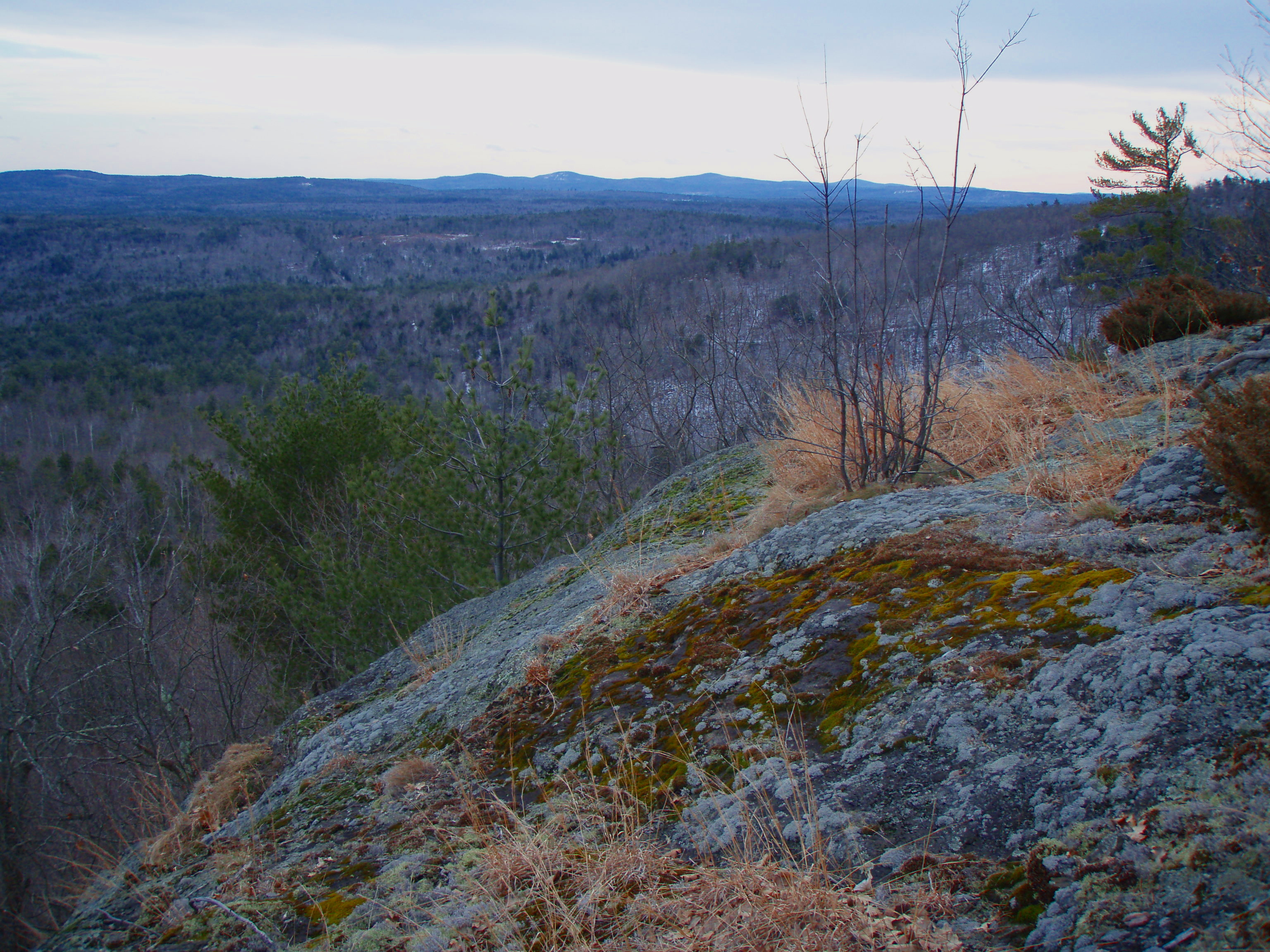
Beauty Ledge view
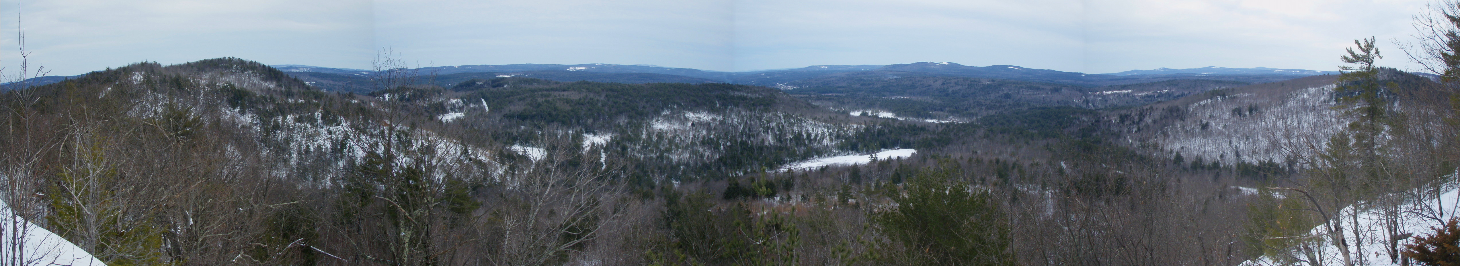
Beauty Ledge View 3-4-12 (pano)
2013_1225Christmas-Day-Pano0001
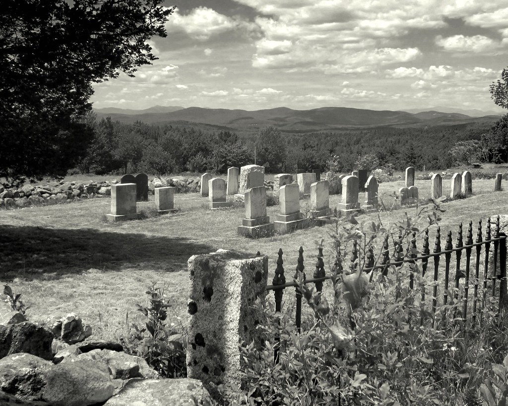
Plot With A View 11.06.21 0702
West Pond, Parsonsfield, Maine.
View from Phoebe's Nable
View from Phoebe's Nable
View from Phoebes Nable Mt. summit
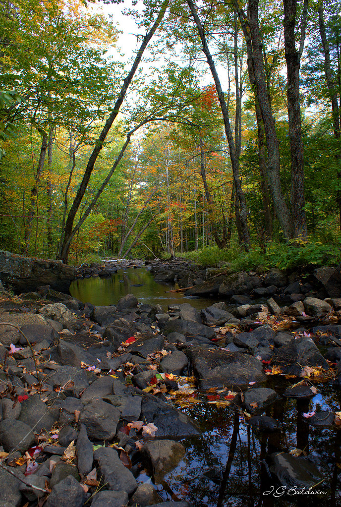
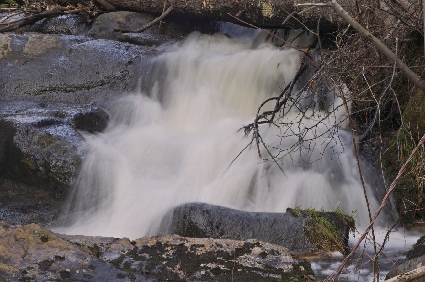
autumn stream
2013_1206West-Pond-Pano0001
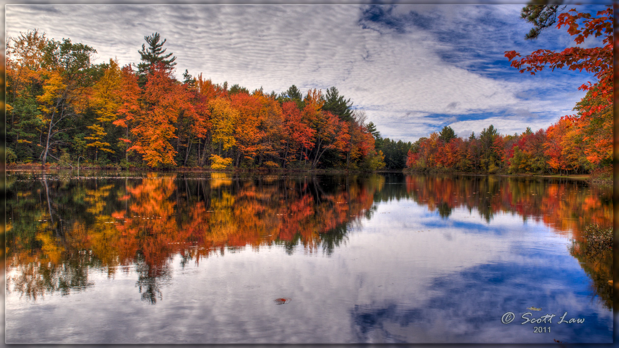
Up the Lazy River
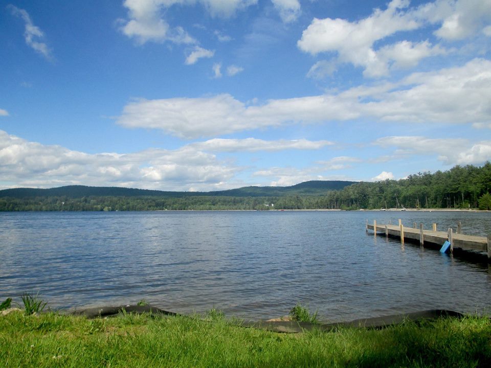
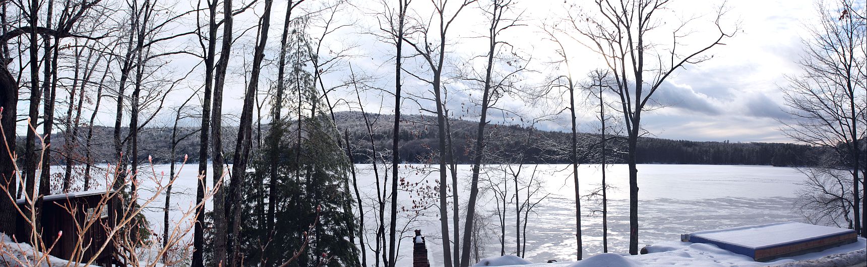
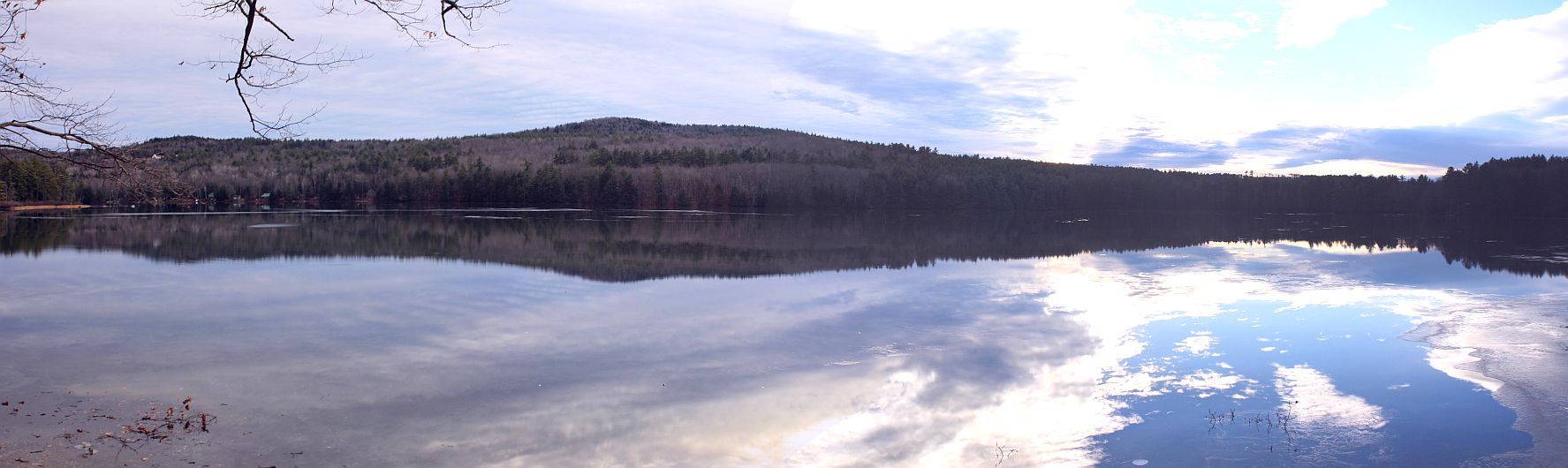
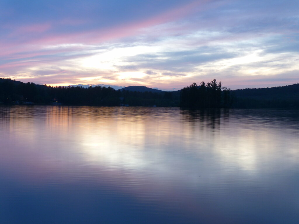
The Lake
E_WakefieldNH_21July15_B_126.JPG
2015_0427Effingham-Falls0006
P1040418.JPG
P1040419.JPG
P1040235.JPG
P1040243.JPG
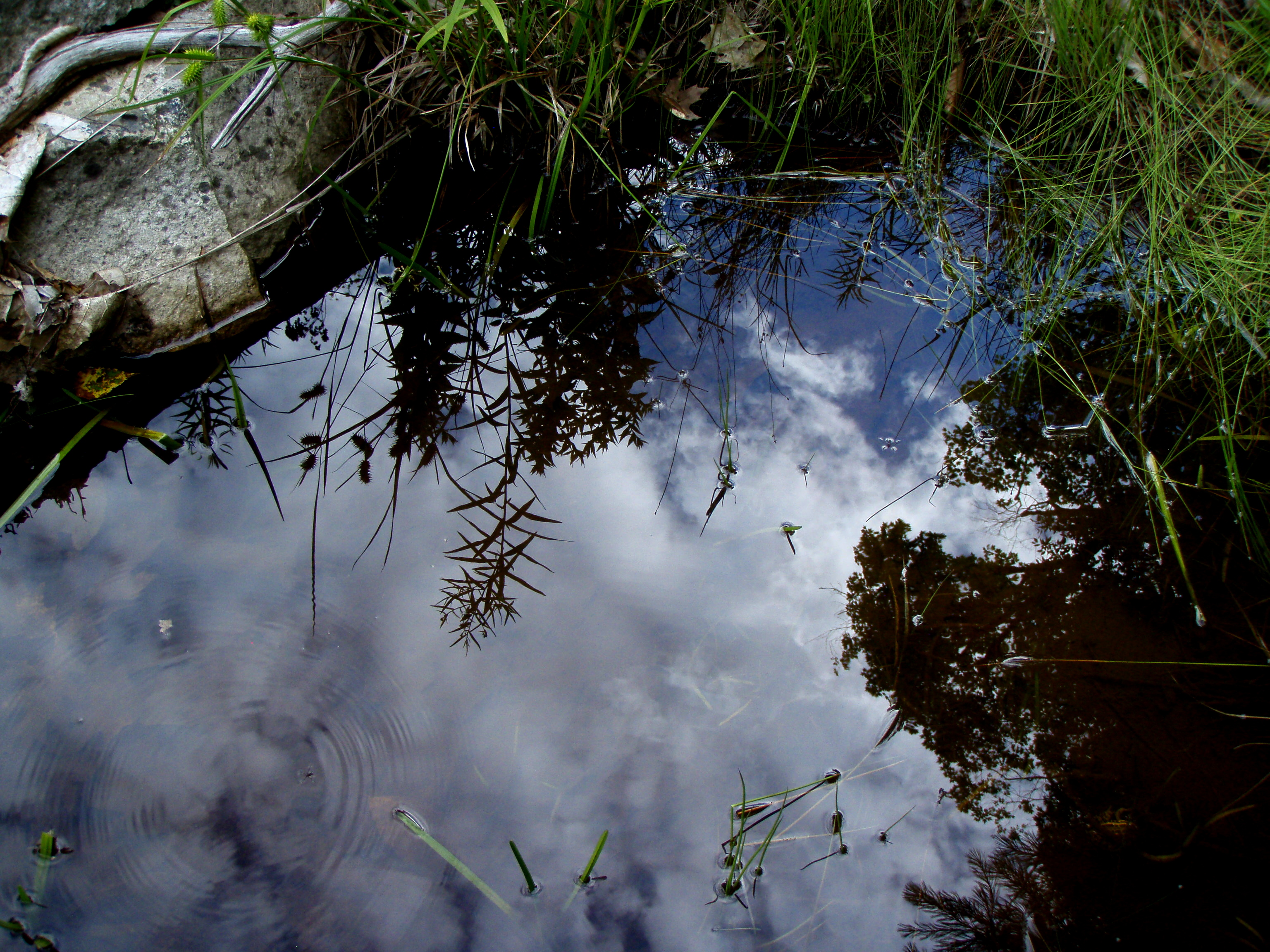
Reflection in a pool
E_WakefieldNH_21July15_B_93.JPG
P1040233.JPG
An shiny Burrows Farm Trail
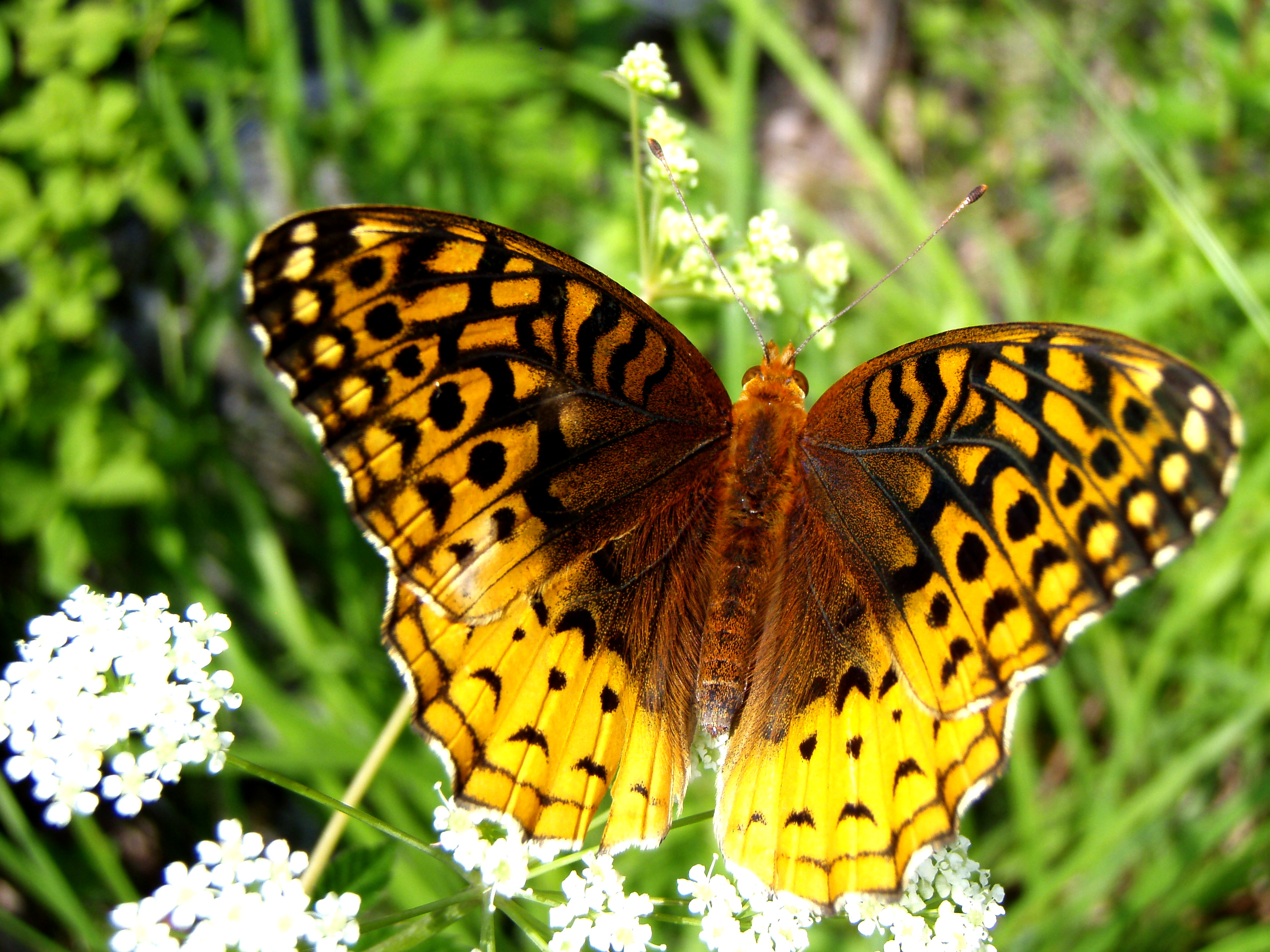
Aphrodite Fratillary
P1040215.JPG
P1040227.JPG
P1040229.JPG
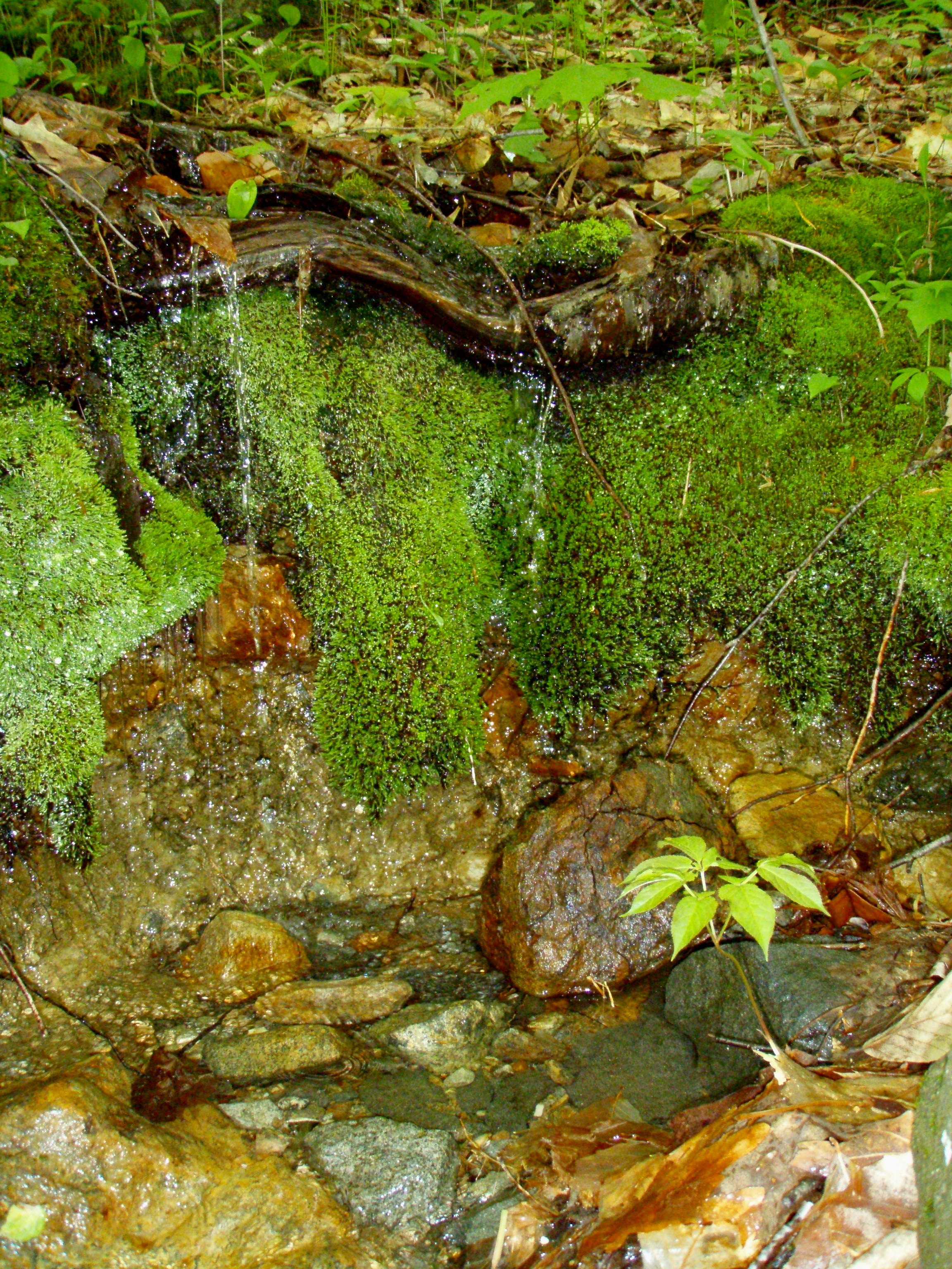
A Mossy Trickle
P1040213.JPG
P1040206.JPG
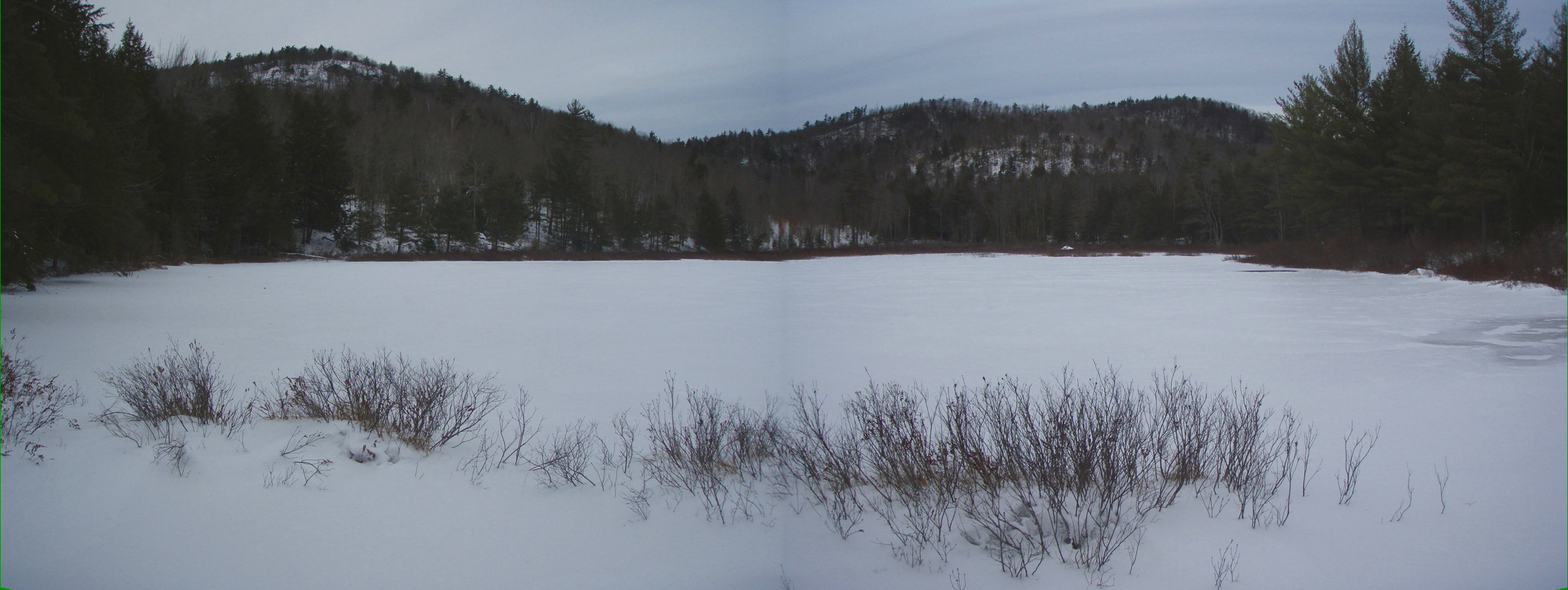
Bowser Pond 1.16.12 (pano)
Topographic Map of Beverly Hills Dr, East Wakefield, NH, USA
Find elevation by address:

Places near Beverly Hills Dr, East Wakefield, NH, USA:
333 Beverly Hills Dr
55 Pick Pocket Rd
371 Pick Pocket Rd
East Wakefield
Perkins Hill Road
155 Shore Acres Rd
346 Ashbury Ln
1307 Acton Ridge Rd
Parsonsfield
87 Main St, Shapleigh, ME, USA
Effingham
183 Randall Lake Rd
249 Granny Kent Pond Rd
70 Rainbow Rd
Ridge Road
76 Newfield Rd
91 Spur Rd
1114 Sokokis Trail N
138 Range E Rd
Cannon Hill Road
Recent Searches:
- Elevation of Elwyn Dr, Roanoke Rapids, NC, USA
- Elevation of Congressional Dr, Stevensville, MD, USA
- Elevation of Bellview Rd, McLean, VA, USA
- Elevation of Stage Island Rd, Chatham, MA, USA
- Elevation of Shibuya Scramble Crossing, 21 Udagawacho, Shibuya City, Tokyo -, Japan
- Elevation of Jadagoniai, Kaunas District Municipality, Lithuania
- Elevation of Pagonija rock, Kranto 7-oji g. 8"N, Kaunas, Lithuania
- Elevation of Co Rd 87, Jamestown, CO, USA
- Elevation of Tenjo, Cundinamarca, Colombia
- Elevation of Côte-des-Neiges, Montreal, QC H4A 3J6, Canada