Elevation of Best Western East Zion Thunderbird Lodge, State St, Mt Carmel, UT, USA
Location: United States > Utah > Kane County > Mount Carmel >
Longitude: -112.68179
Latitude: 37.2231562
Elevation: 1585m / 5200feet
Barometric Pressure: 84KPa
Elevation Map:
Satellite Map:
Related Photos:

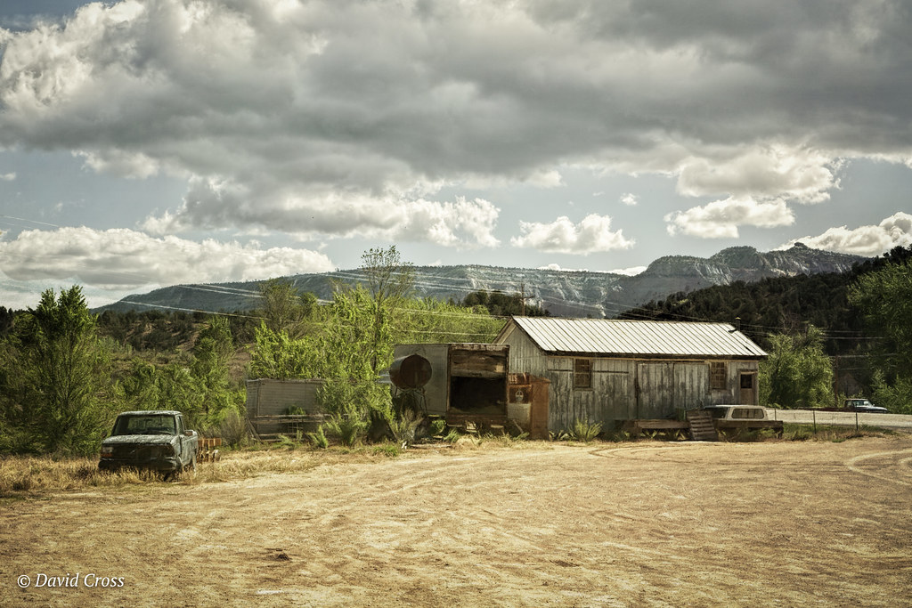
USA // Utah // Oldtimer Junkyard
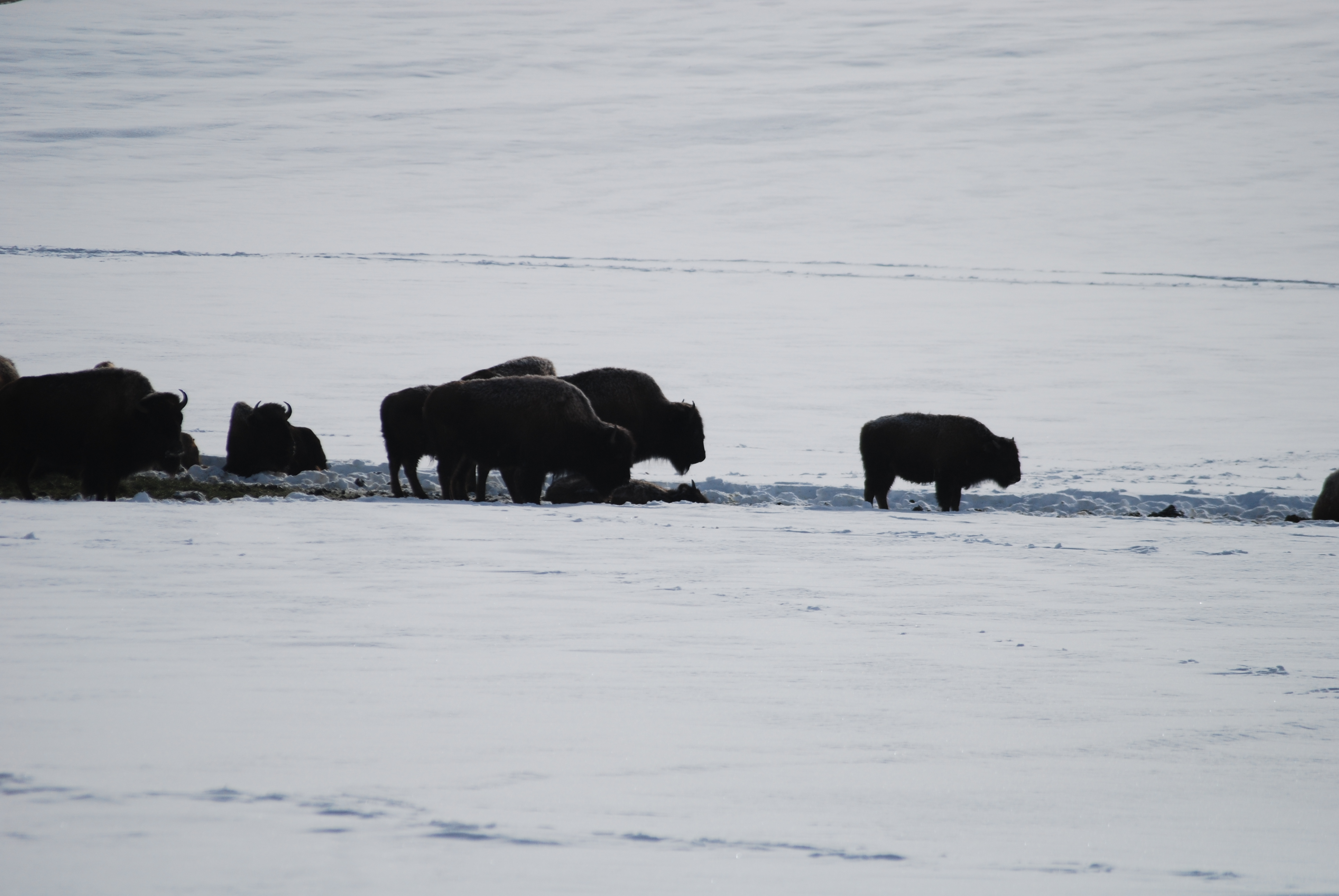
Winter Buffalo
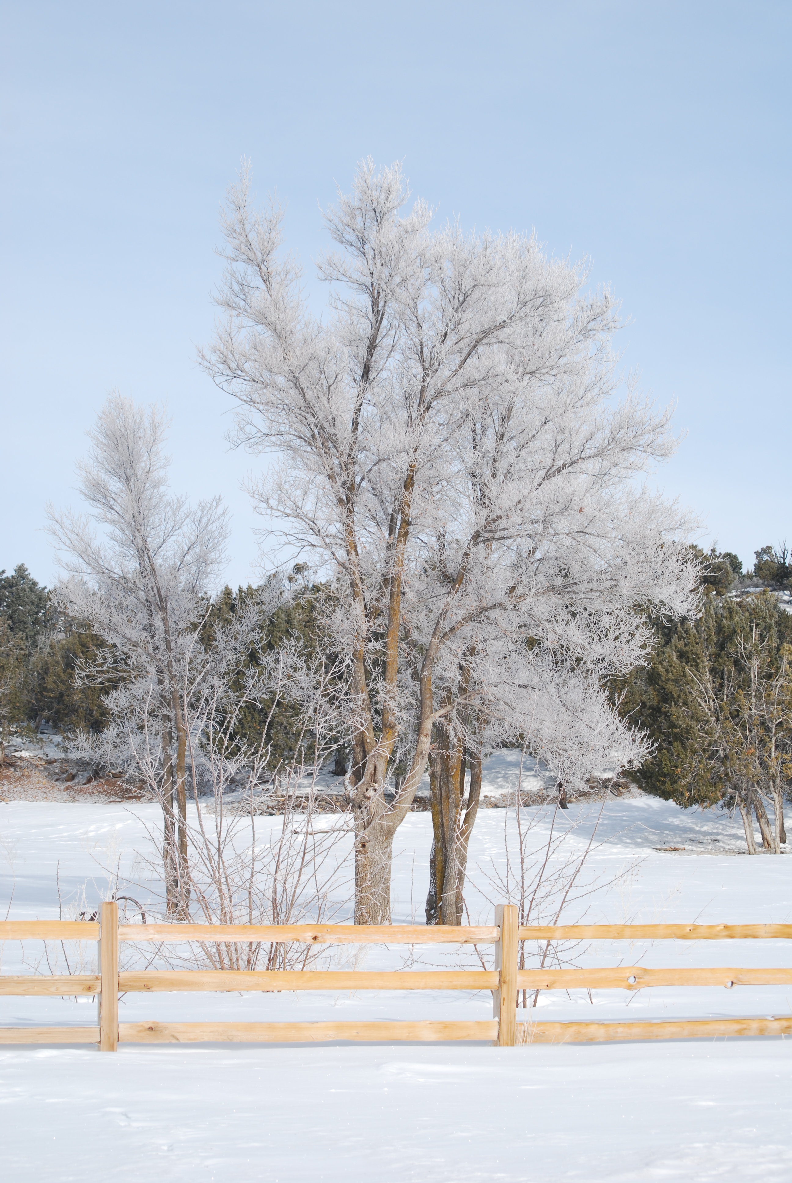
Frozen trees

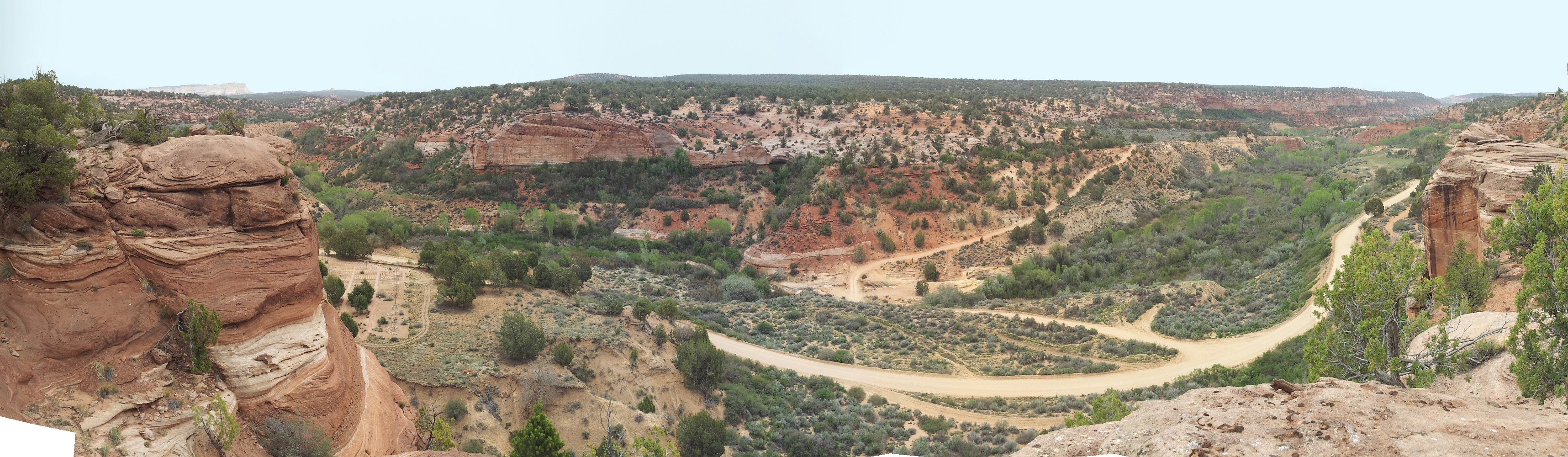
Red Hollow Slot Canyon
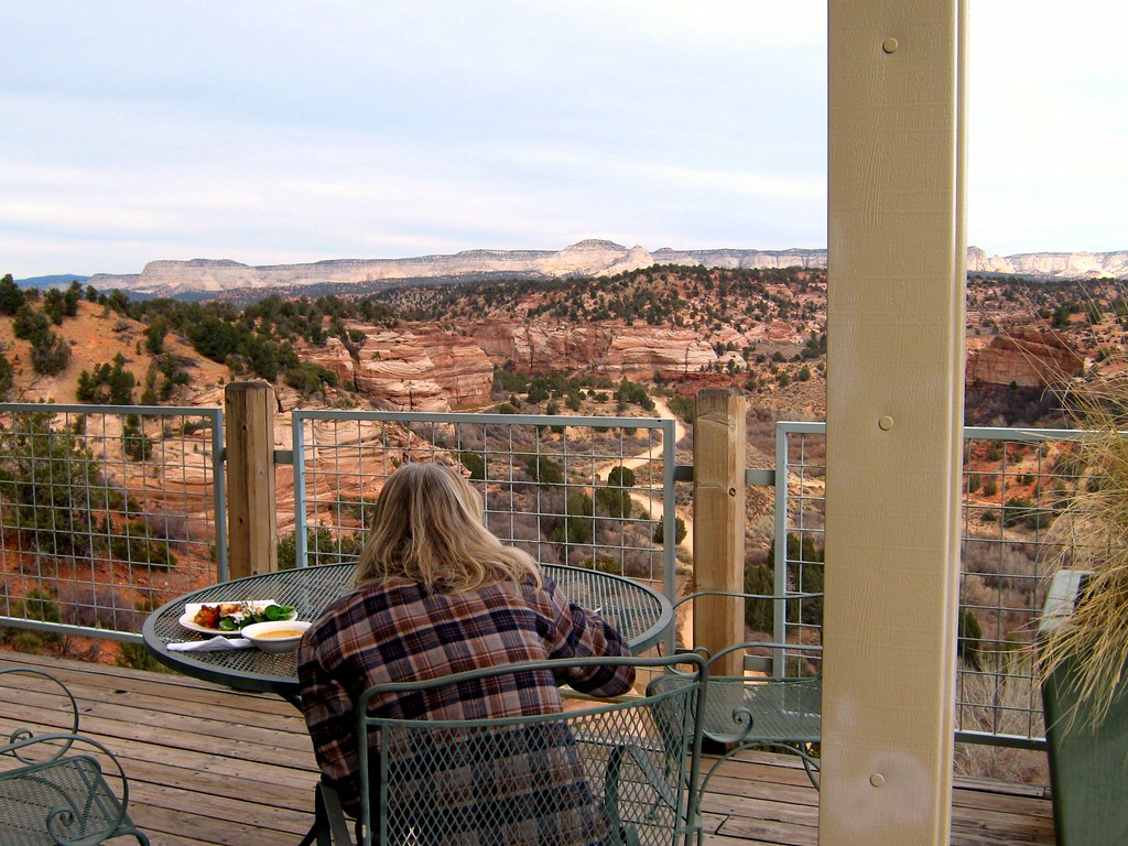
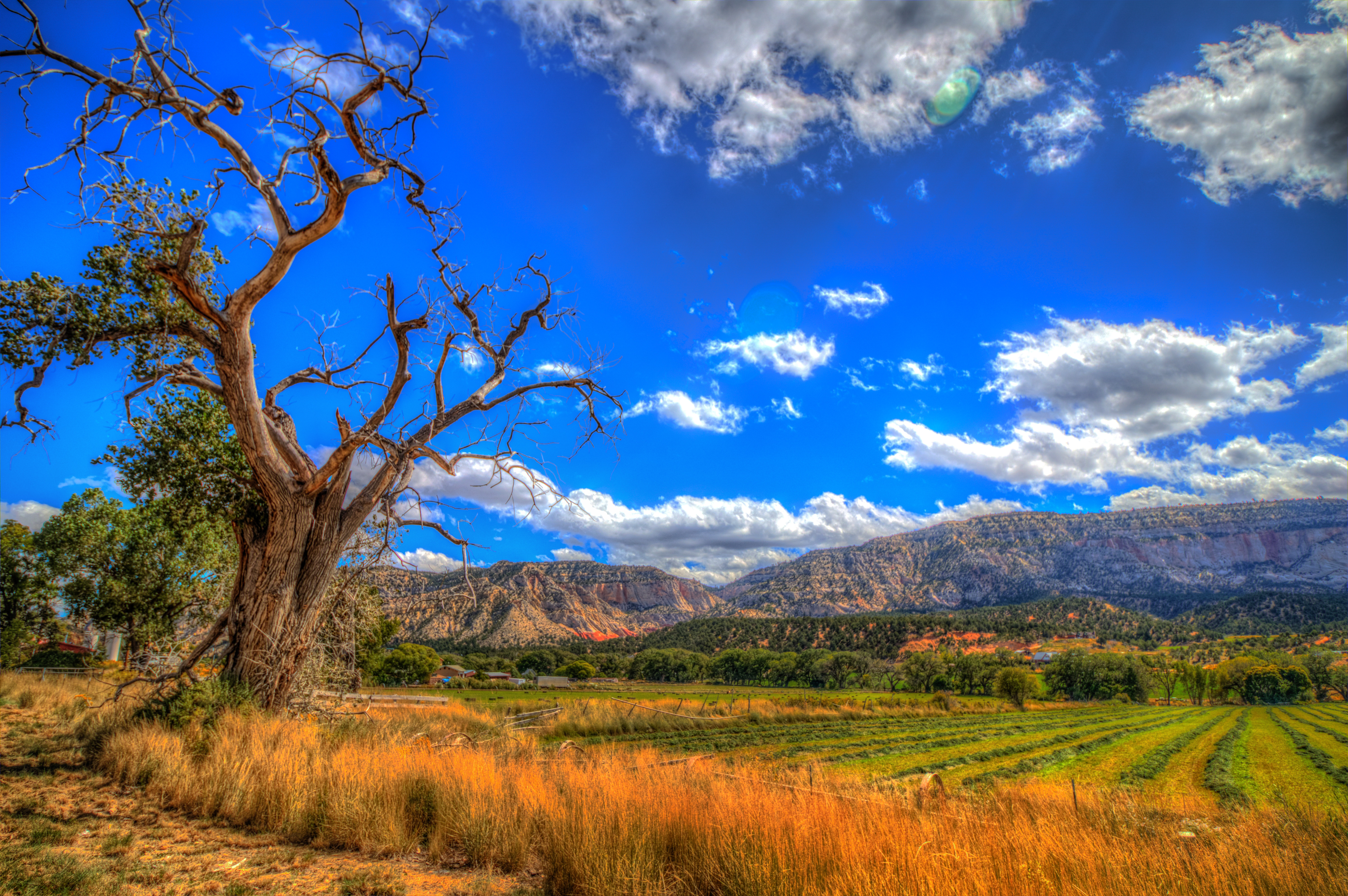
View from the Zion Mountain Ranch

Glendale, Utah Panorama - Our View For The Next Week
Angels Overlook
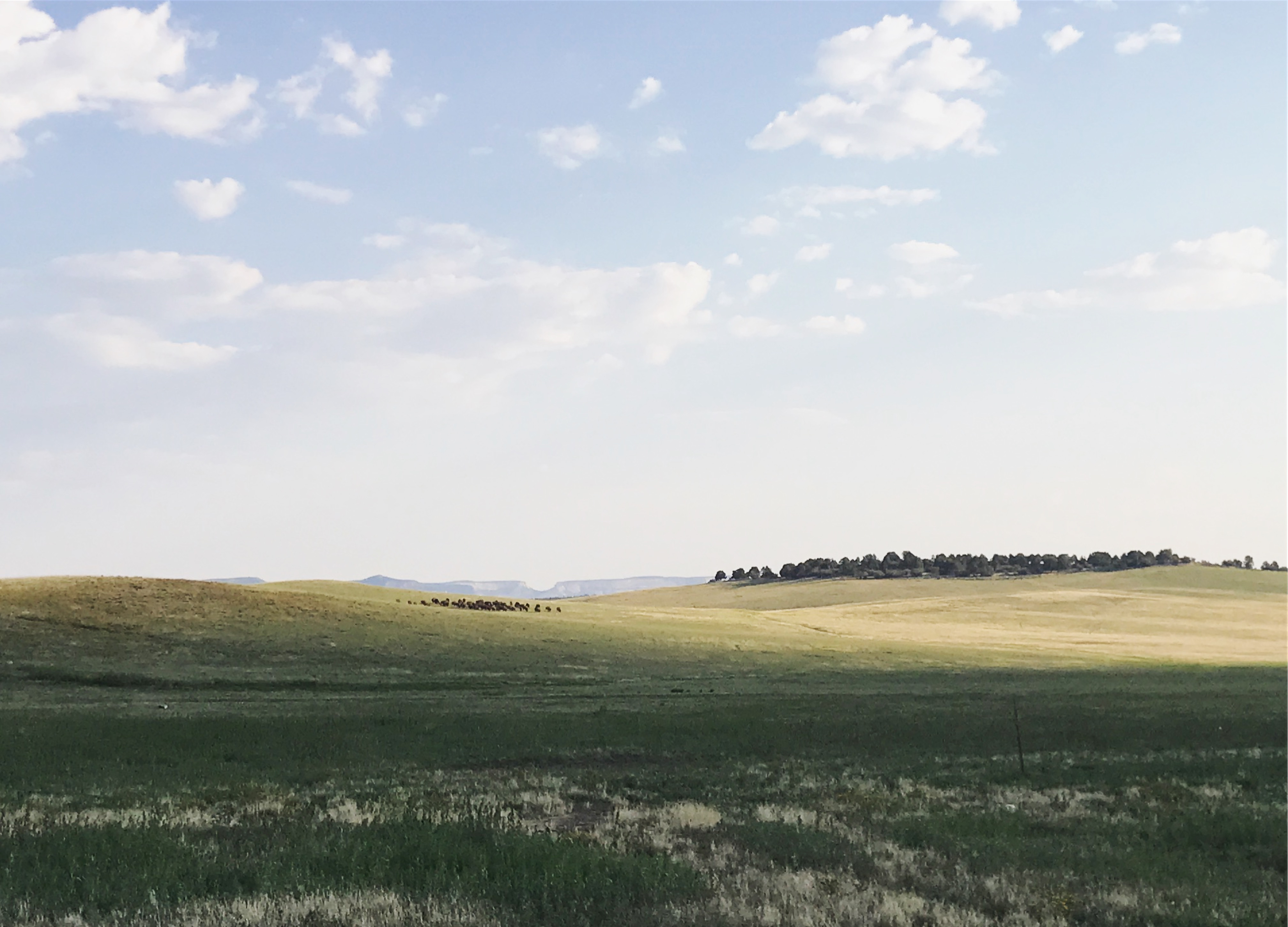
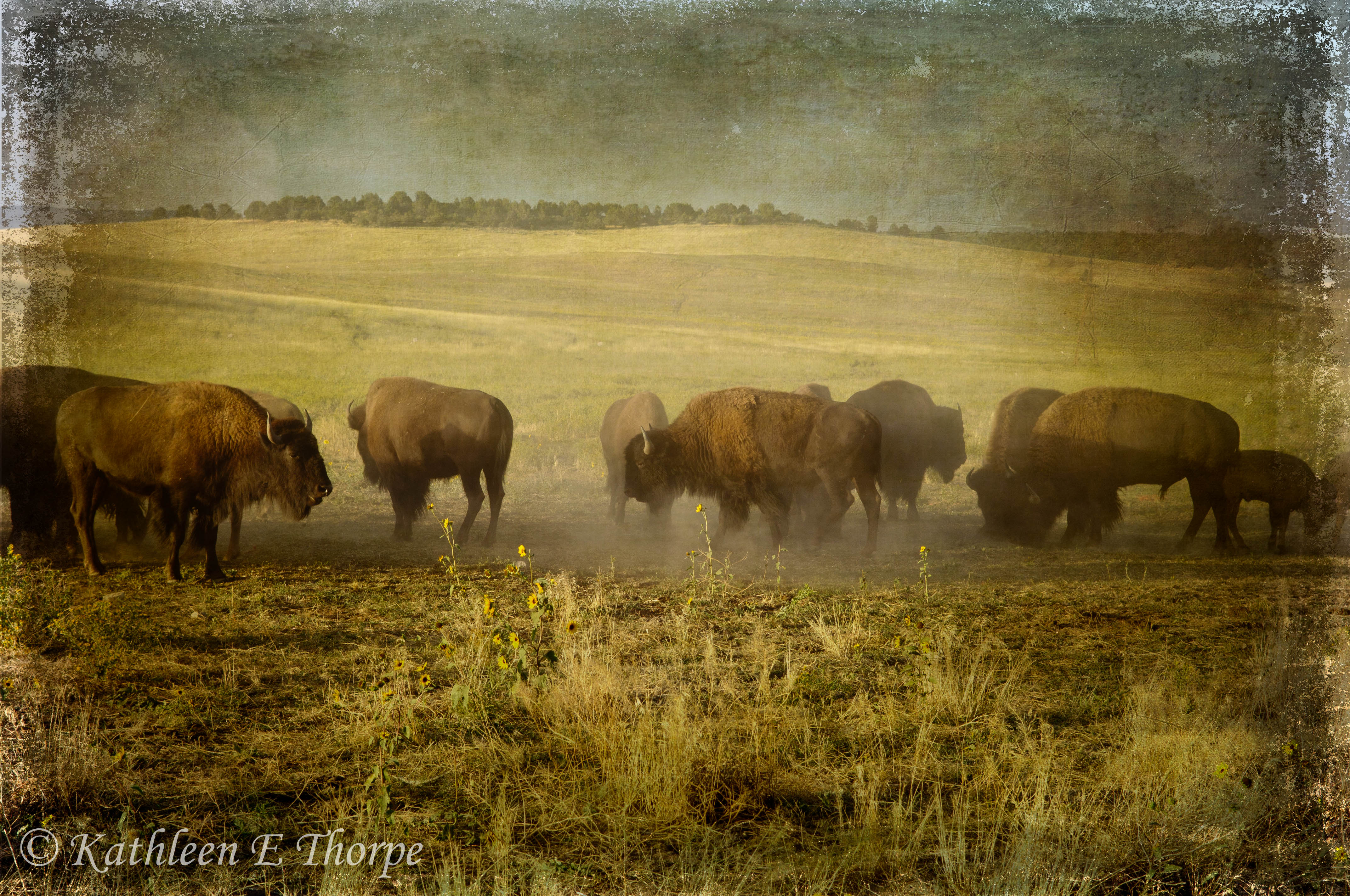
Where buffalo roam
Best Friends 11/2010
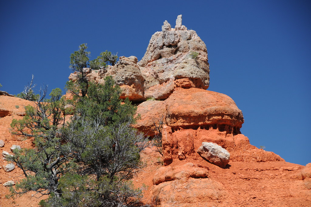
Dixie National Forest

2007 30 mei Vakantie Zion National Park USA 0846.jpg

Sandstone Caves

flourescent rocks

flourescent rocks
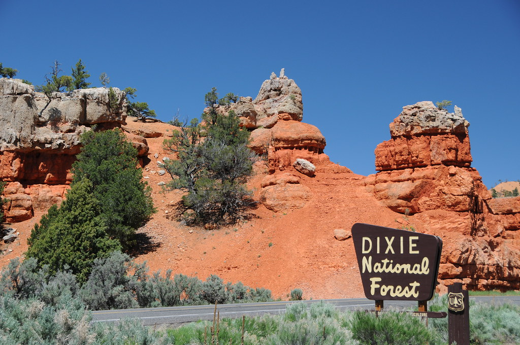
Dixie National Forest

Moqui Cave

2007 30 mei Vakantie Zion National Park USA 0845.jpg
Desert Storm Cloud
Zion, Utah
Do They REALLY Mean That?

Zion, Utah
Three Lakes

Three Lakes
Zion Buffalo Herd - Lenabem Texture

Zion National Park
Along Highway 89

Zion-2
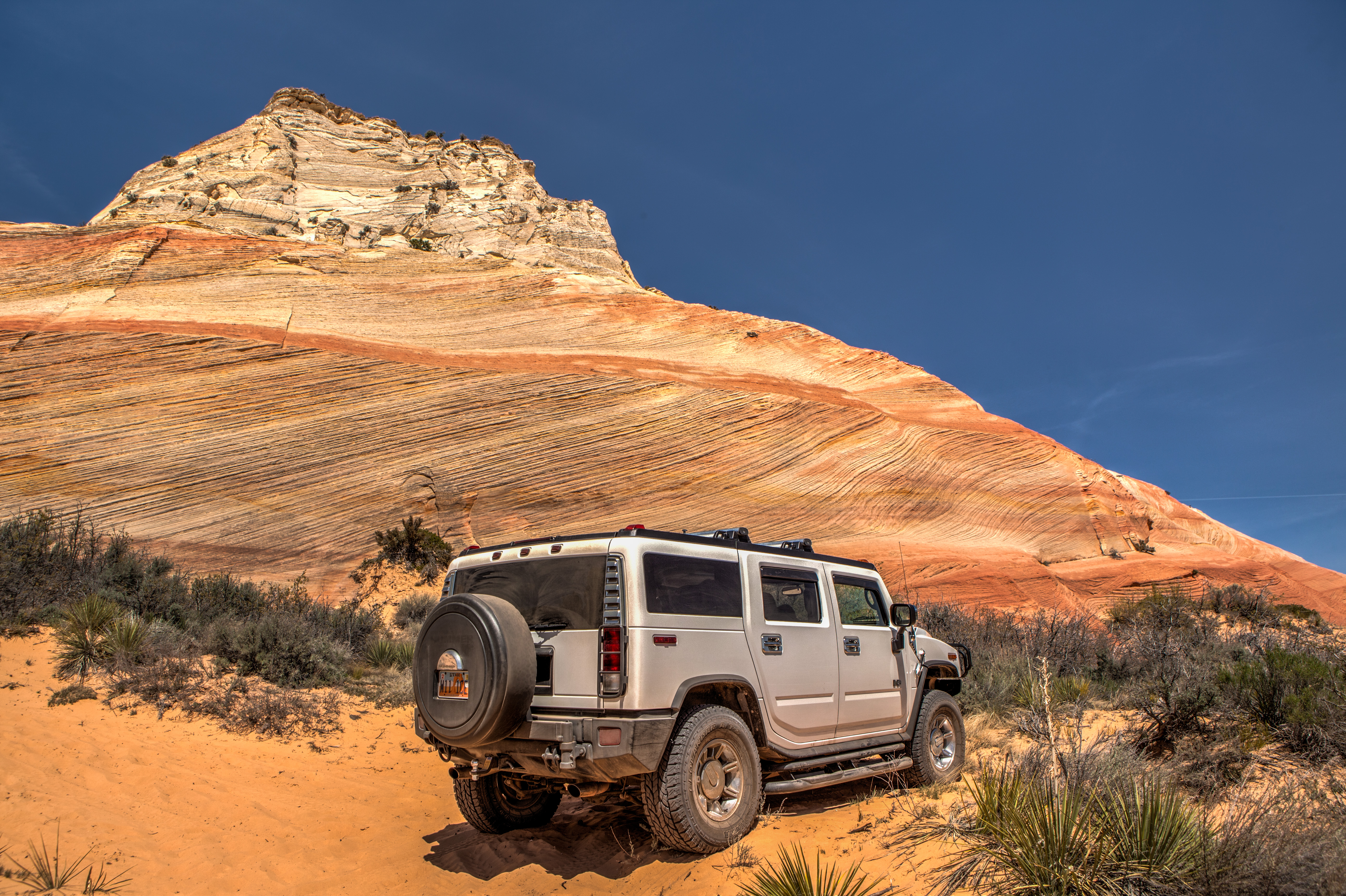
Rainbow Rock
Scenes from the Road

Rainbow Rock

Peekaboo Canyon
Rainbow Rock
Milky Way over Zion

Rainbow Rock
Several hundred acres of forest destroyed by fire in 2009. The trees look as if it happened yesterday. Silver B&W filter gave it an eerie appearance.

IMG_1845.jpg

Peekaboo Canyon

DSC_7519.JPG

Rainbow Rock
ZionNationalPark20181021-8
Topographic Map of Best Western East Zion Thunderbird Lodge, State St, Mt Carmel, UT, USA
Find elevation by address:

Places near Best Western East Zion Thunderbird Lodge, State St, Mt Carmel, UT, USA:
68f9+77
Mount Carmel Junction
Mount Carmel
Highway 89
Orderville
Highway 89
Utah 9
Zion Mountain Ranch
Mystic River Estates
Glendale
8cc2+wq
Coral Pink Sand Dunes State Park
Bryce Zion Campground
Zion Ponderosa Ranch Resort
The Barracks Hike Ending
Oak Road
Oak Road
210 300 N
945 W Vermillion Dr
901 W Vermillion Dr
Recent Searches:
- Elevation of Gateway Blvd SE, Canton, OH, USA
- Elevation of East W.T. Harris Boulevard, E W.T. Harris Blvd, Charlotte, NC, USA
- Elevation of West Sugar Creek, Charlotte, NC, USA
- Elevation of Wayland, NY, USA
- Elevation of Steadfast Ct, Daphne, AL, USA
- Elevation of Lagasgasan, X+CQH, Tiaong, Quezon, Philippines
- Elevation of Rojo Ct, Atascadero, CA, USA
- Elevation of Flagstaff Drive, Flagstaff Dr, North Carolina, USA
- Elevation of Avery Ln, Lakeland, FL, USA
- Elevation of Woolwine, VA, USA