Elevation of Berwick Cassels Rd, Gloster, MS, USA
Location: United States > Mississippi > Amite County > Gloster >
Longitude: -90.972997
Latitude: 31.2155388
Elevation: 131m / 430feet
Barometric Pressure: 100KPa
Elevation Map:
Satellite Map:
Related Photos:
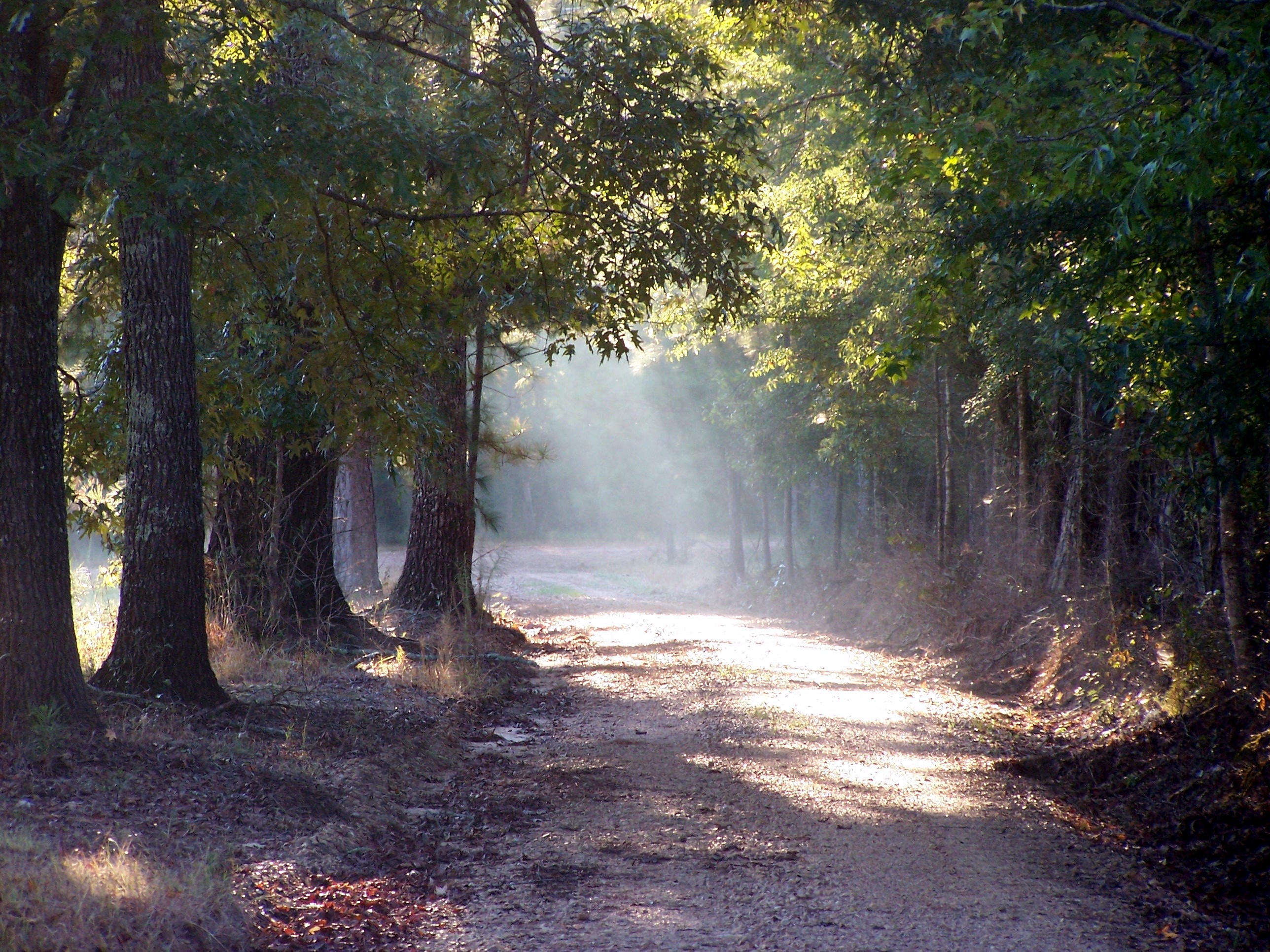
morning light

Crosby Mississippi
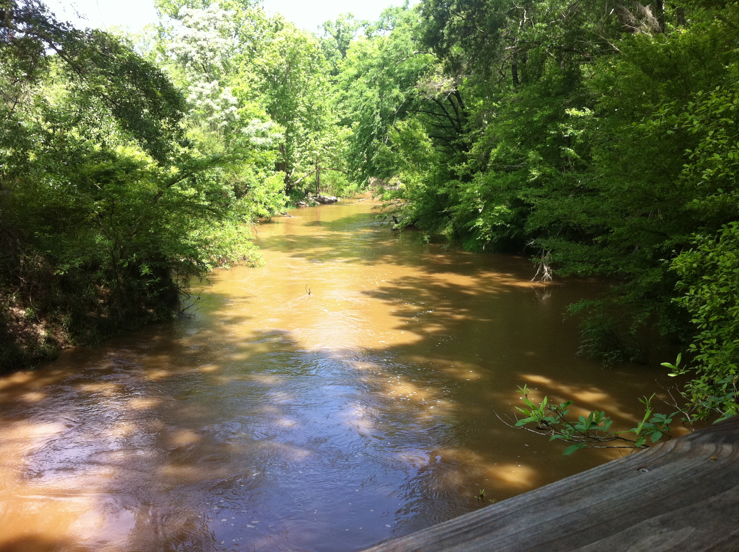
Amite River

Flooded Trail

Old GMC
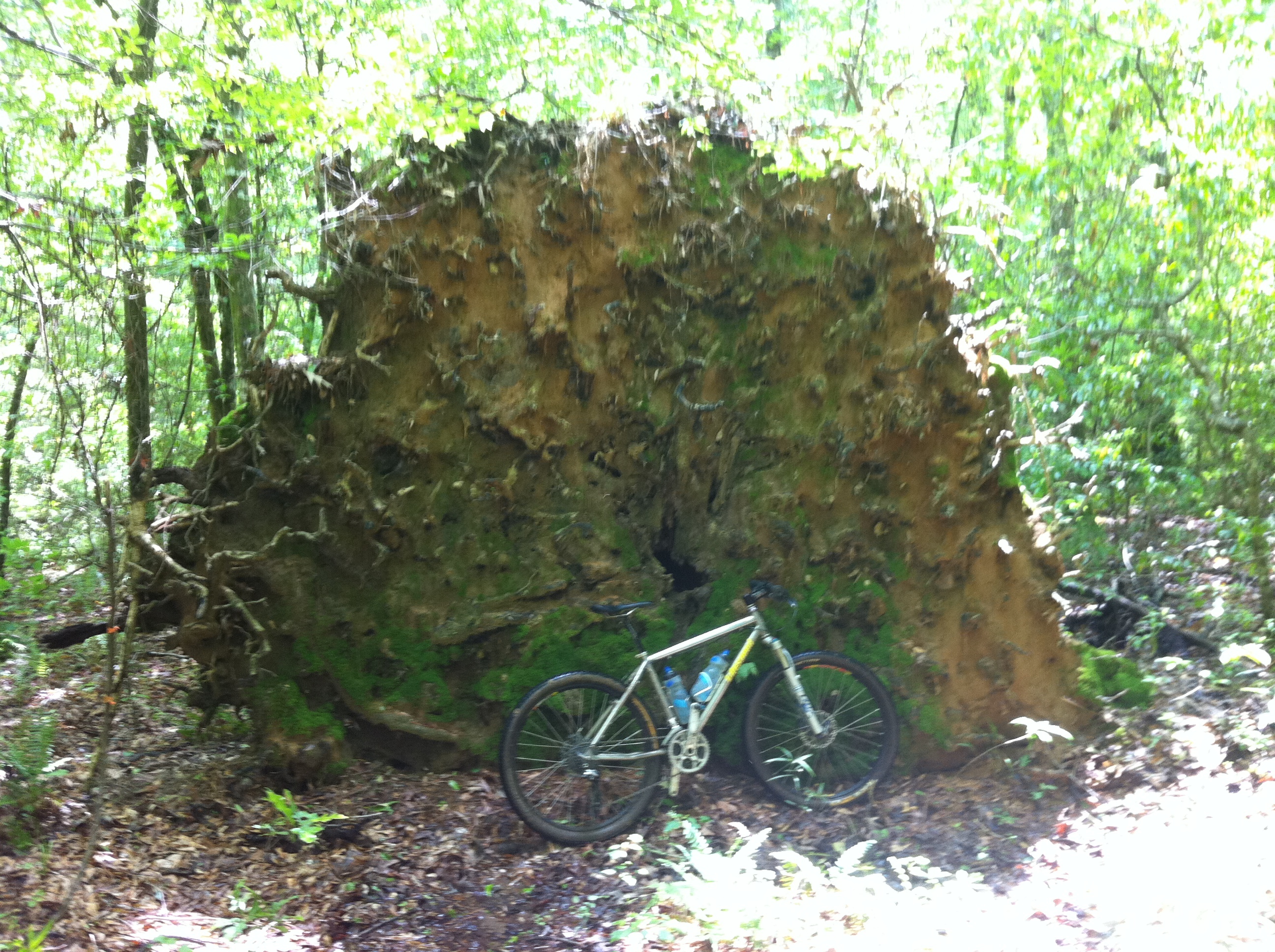
Massive Root Ball
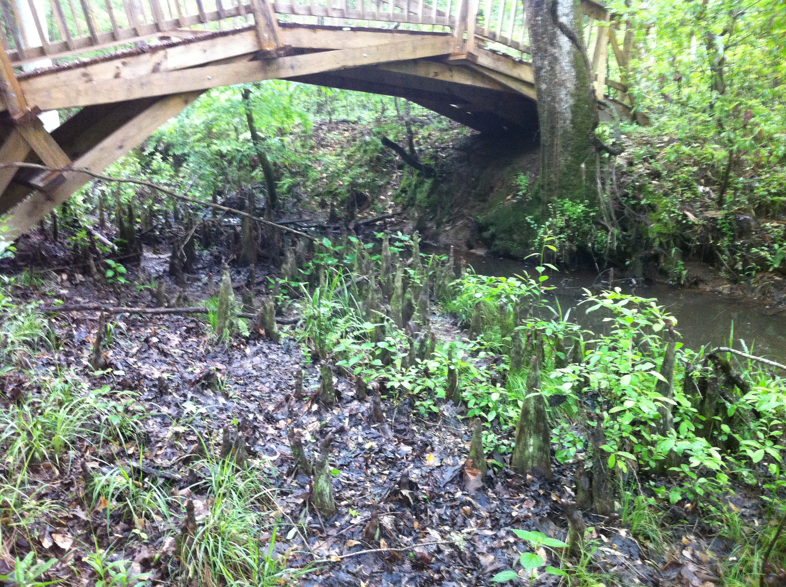
Trail into the river
Cypress Knees

Knocked over stump

Ethel Vance Routes

Ethel Vance Trailhead

Ethel Vance Park Sign
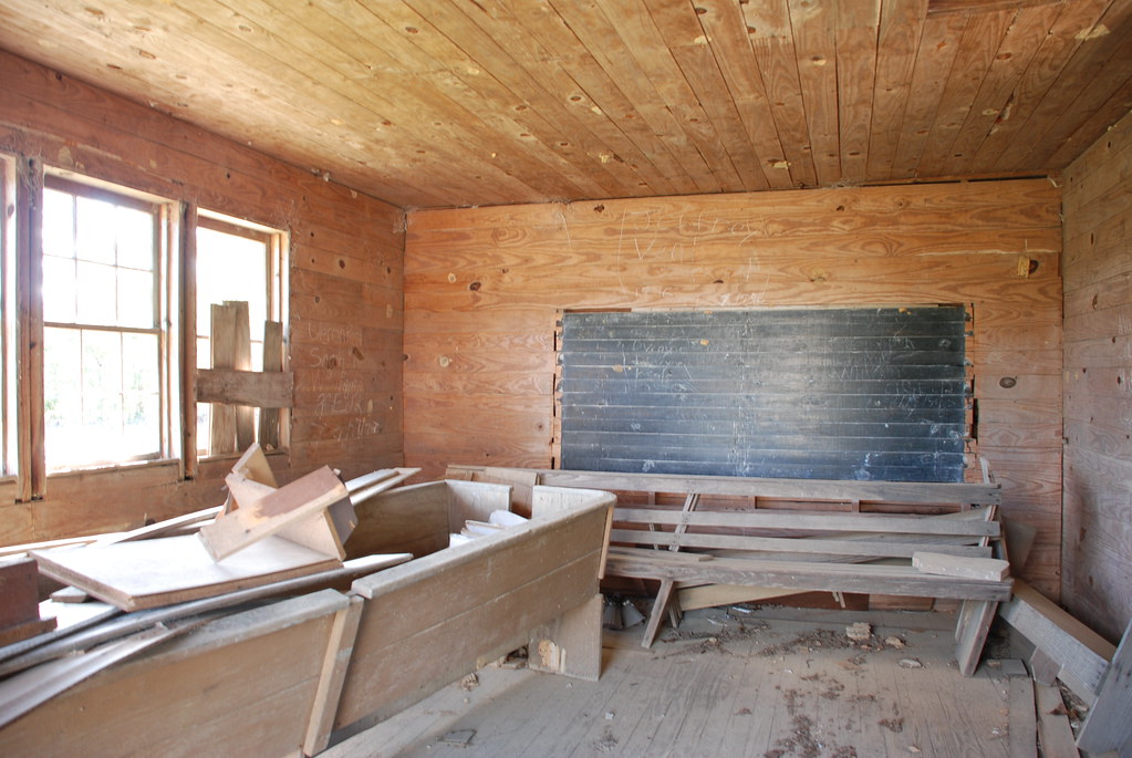
Garner Colored School, Amite County

Gloster Arboretum
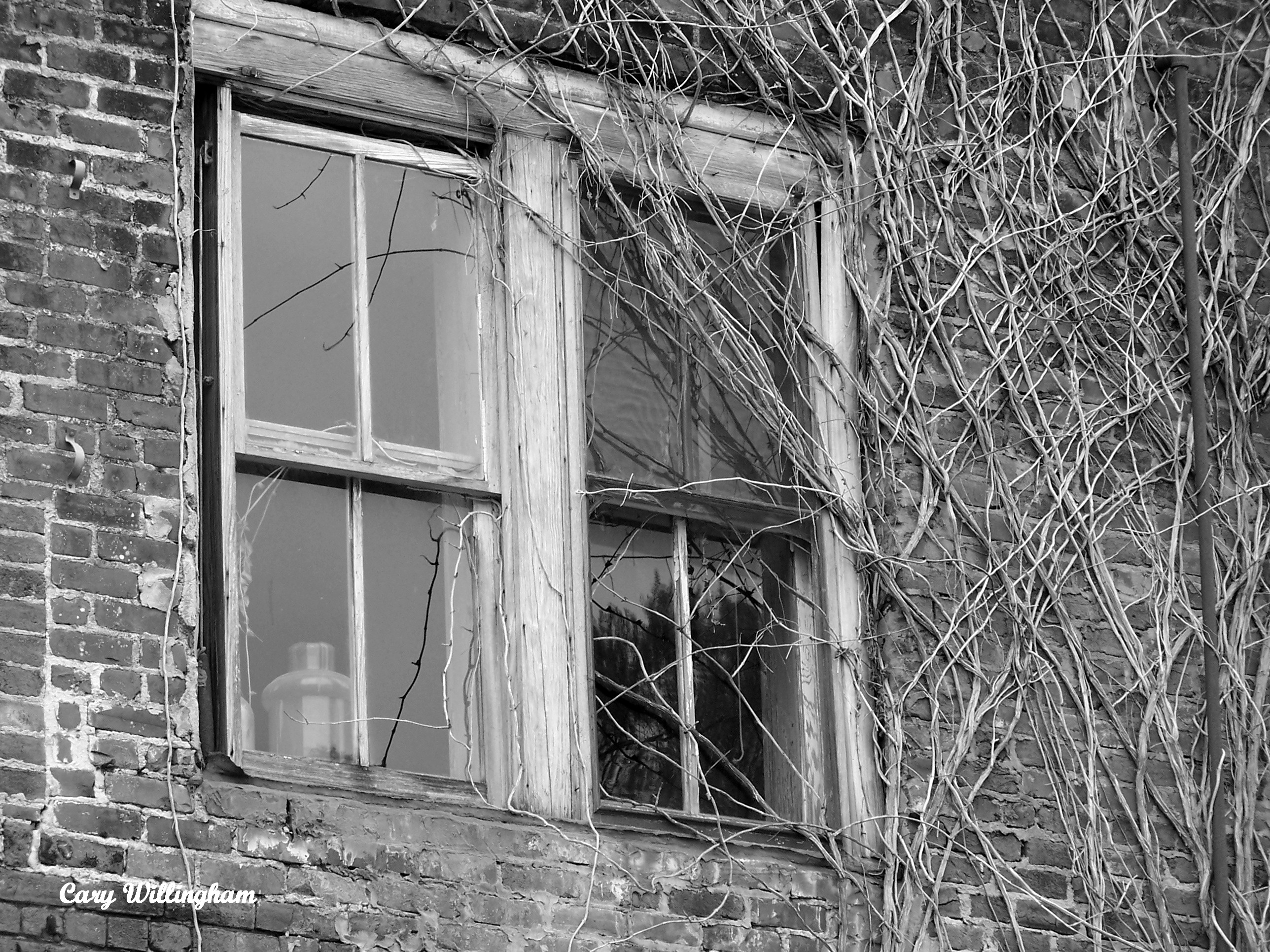
Abandoned, Gloster, Mississippi
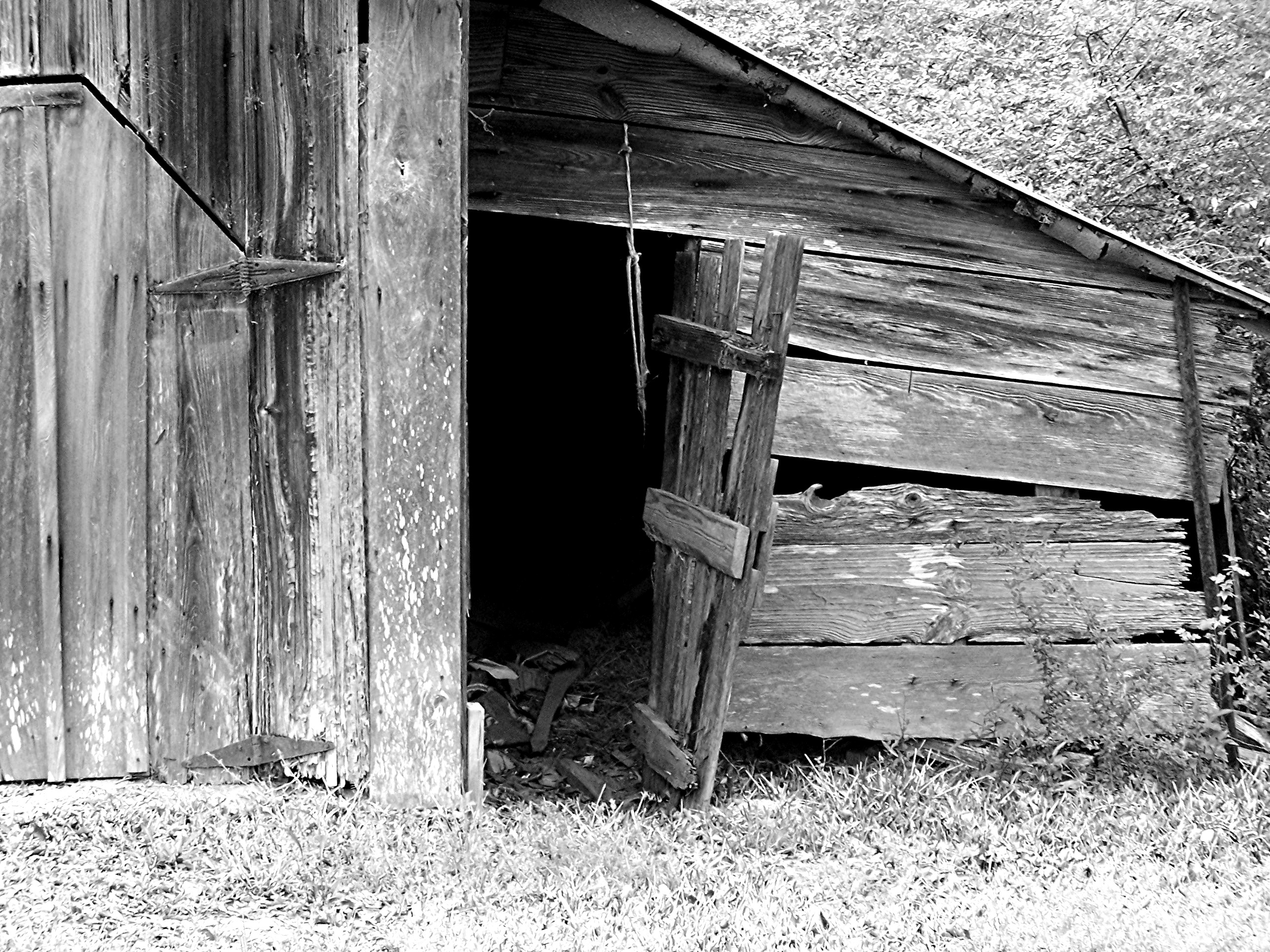
Barn (b/w)
Topographic Map of Berwick Cassels Rd, Gloster, MS, USA
Find elevation by address:

Places near Berwick Cassels Rd, Gloster, MS, USA:
Gloster
508 Union St
632 W Railroad Ave
Schoby Rd, Liberty, MS, USA
3785a
Amite County
Centreville
501 Carter St
Lower Centreville Rd, Liberty, MS, USA
Liberty
154 Broken St
111 Washington St
7, LA, USA
Norwood
N Greensburg Rd, Liberty, MS, USA
Wilkinson County
1, LA, USA
533 Thompson Creek Rd
Woodville
Main St, Woodville, MS, USA
Recent Searches:
- Elevation of Unnamed Road, Respublika Severnaya Osetiya — Alaniya, Russia
- Elevation of Verkhny Fiagdon, North Ossetia–Alania Republic, Russia
- Elevation of F. Viola Hiway, San Rafael, Bulacan, Philippines
- Elevation of Herbage Dr, Gulfport, MS, USA
- Elevation of Lilac Cir, Haldimand, ON N3W 2G9, Canada
- Elevation of Harrod Branch Road, Harrod Branch Rd, Kentucky, USA
- Elevation of Wyndham Grand Barbados Sam Lords Castle All Inclusive Resort, End of Belair Road, Long Bay, Bridgetown Barbados
- Elevation of Iga Trl, Maggie Valley, NC, USA
- Elevation of N Co Rd 31D, Loveland, CO, USA
- Elevation of Lindever Ln, Palmetto, FL, USA