Elevation of Benton Township, MO, USA
Location: United States > Missouri > Daviess County >
Longitude: -94.171854
Latitude: 40.090835
Elevation: 265m / 869feet
Barometric Pressure: 98KPa
Elevation Map:
Satellite Map:
Related Photos:
Water Tower
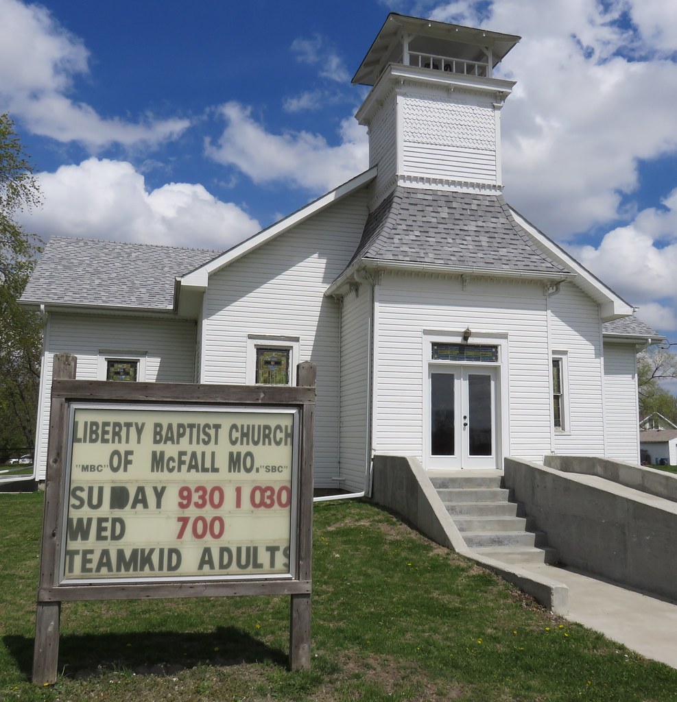
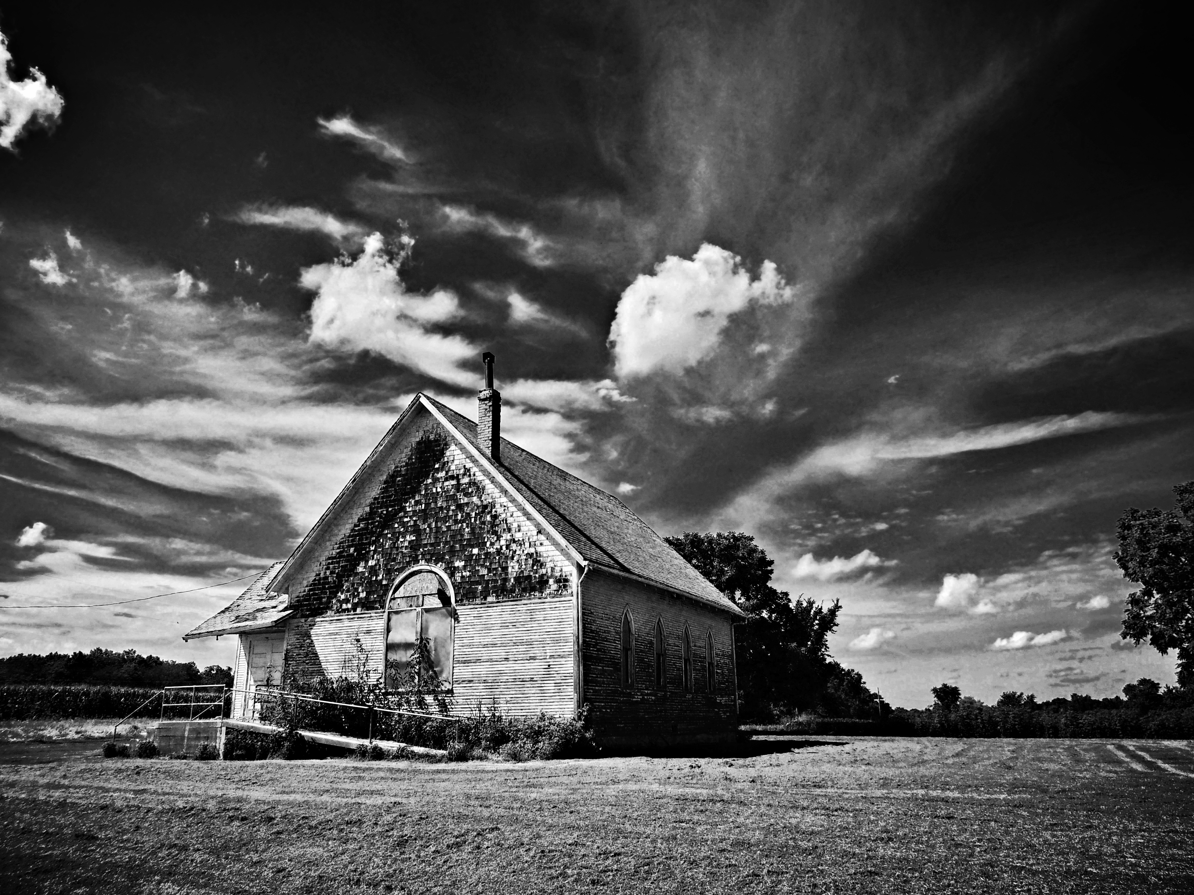
Liberty Baptist Church (McFall, Missouri)
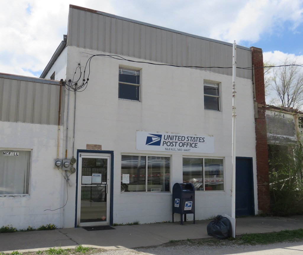
Post Office 64657 (McFall, Missouri)

Old Farm Supply Store (McFall, Missouri)
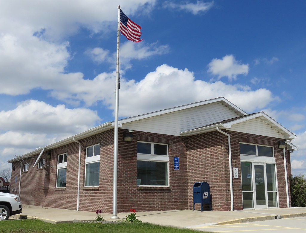
Post Office 64670 (Pattonsburg, Missouri)
that old time religion...
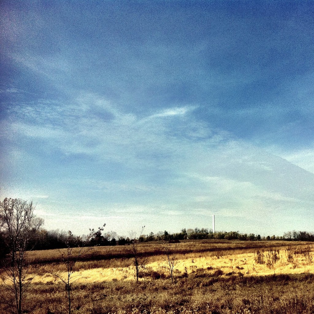
missouri countryside_3373
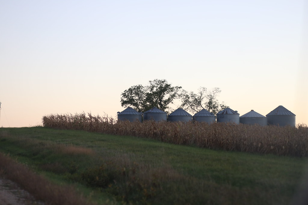
missouri countryside_3371
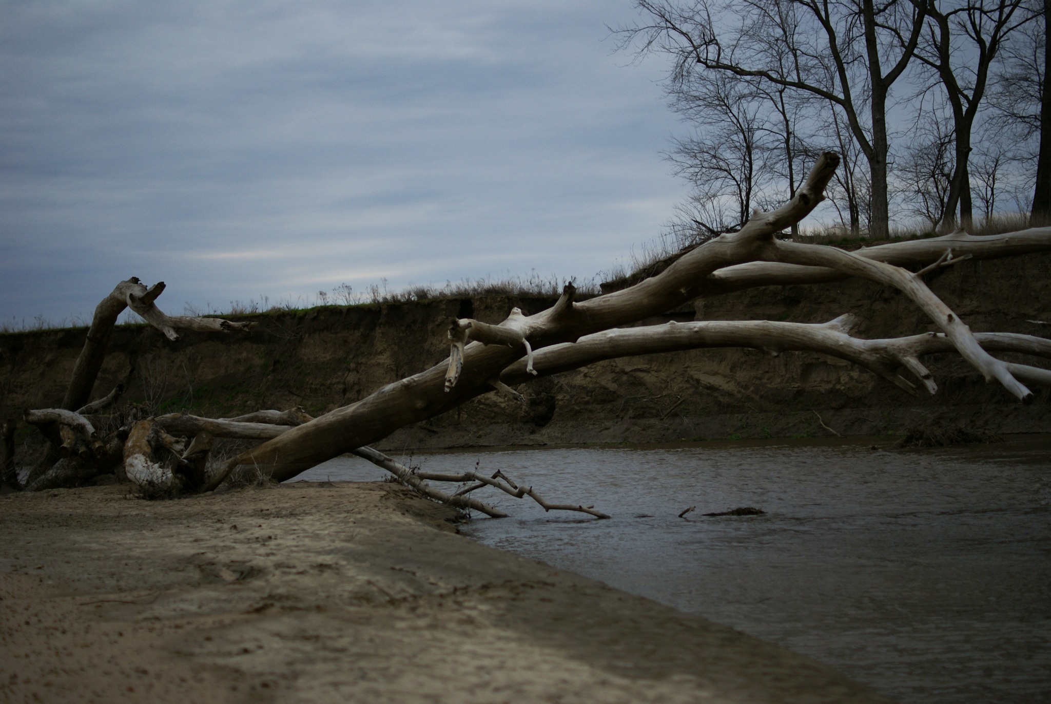
Grand River
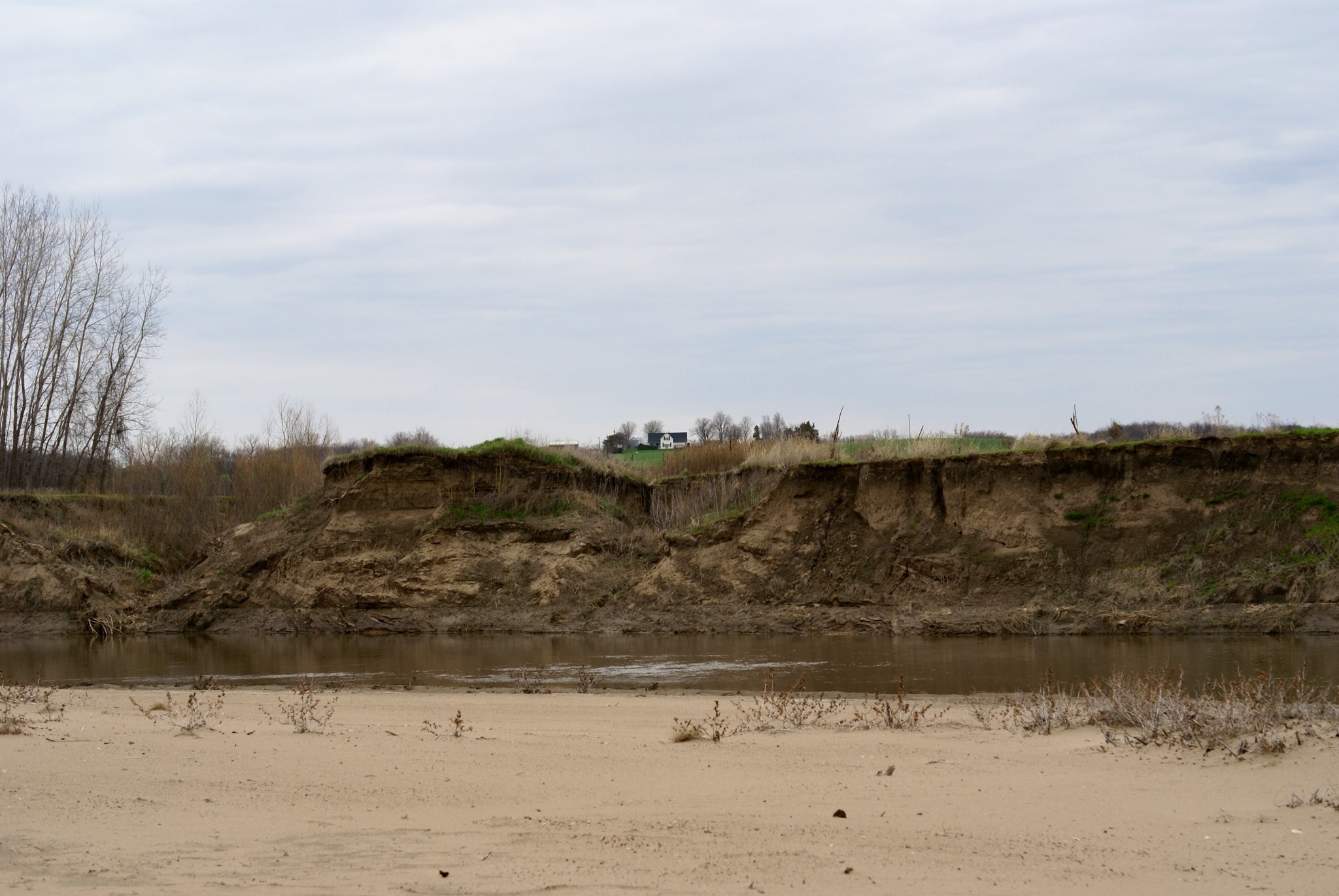
Grand River

2012-04-27 19.13.53

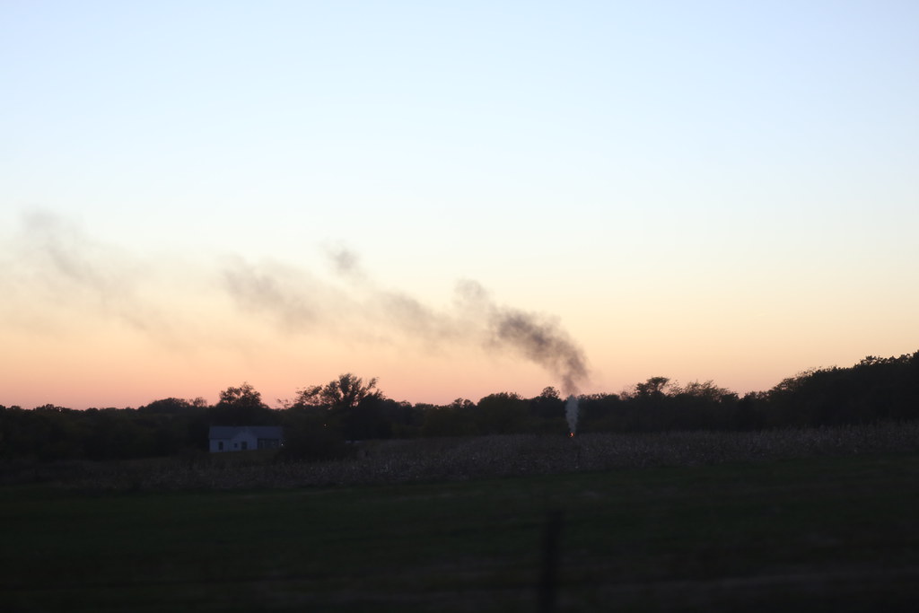
On Display...Soon
Interstate 35, Daviess County Missouri
Interstate 35, Daviess County Missouri

Where it All Started

Mikey's First Road Trip

Mike Gallardo

Post Office 64636 (Coffey, Missouri)

Miley's FIrst Road Trip

On the Road 1
Topographic Map of Benton Township, MO, USA
Find elevation by address:

Places in Benton Township, MO, USA:
Places near Benton Township, MO, USA:
24 Main St, Pattonsburg, MO, USA
Pattonsburg
18615 137th St
Marion Township
Civil Bend
State Hwy DD, Pattonsburg, MO, USA
18037 Key Ave
Cypress Creek
White Oak Township
S State Hwy Ee, New Hampton, MO, USA
New Hampton
Jameson
Daviess County
Bethany Township
Grand River Township
Altamont
Adam-ondi-ahman
Bethany
2505 Parkview Ave
Gallatin
Recent Searches:
- Elevation of Corso Fratelli Cairoli, 35, Macerata MC, Italy
- Elevation of Tallevast Rd, Sarasota, FL, USA
- Elevation of 4th St E, Sonoma, CA, USA
- Elevation of Black Hollow Rd, Pennsdale, PA, USA
- Elevation of Oakland Ave, Williamsport, PA, USA
- Elevation of Pedrógão Grande, Portugal
- Elevation of Klee Dr, Martinsburg, WV, USA
- Elevation of Via Roma, Pieranica CR, Italy
- Elevation of Tavkvetili Mountain, Georgia
- Elevation of Hartfords Bluff Cir, Mt Pleasant, SC, USA