Elevation of Bentley Branch Rd, Five Islands, NS B0M 1K0, Canada
Location: Canada > Nova Scotia >
Longitude: -64.052571
Latitude: 45.396163
Elevation: 35m / 115feet
Barometric Pressure: 101KPa
Elevation Map:
Satellite Map:
Related Photos:
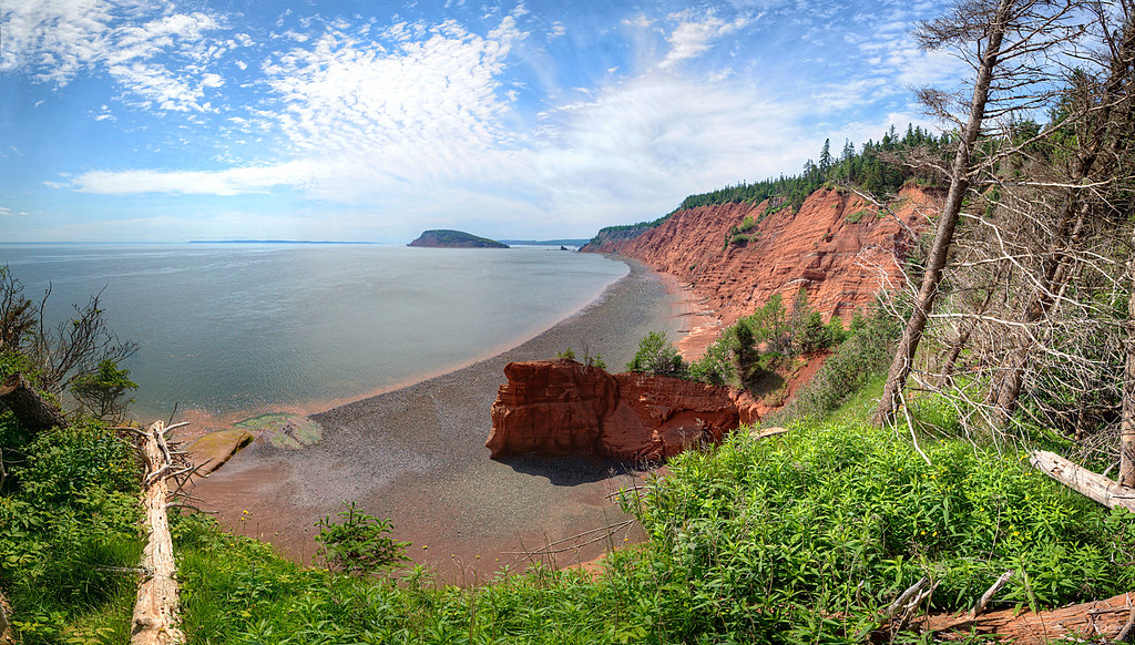
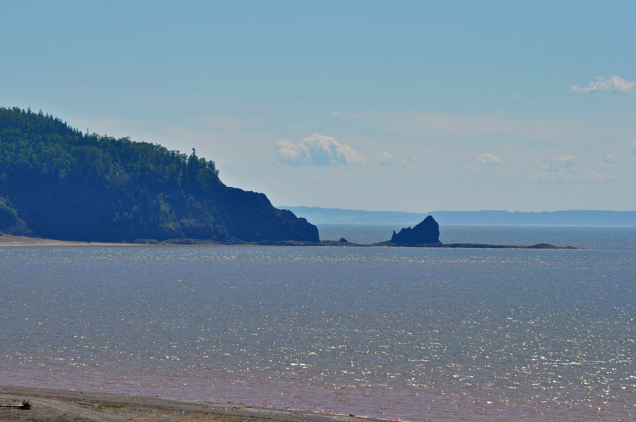
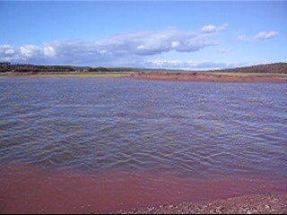
Red Head Point
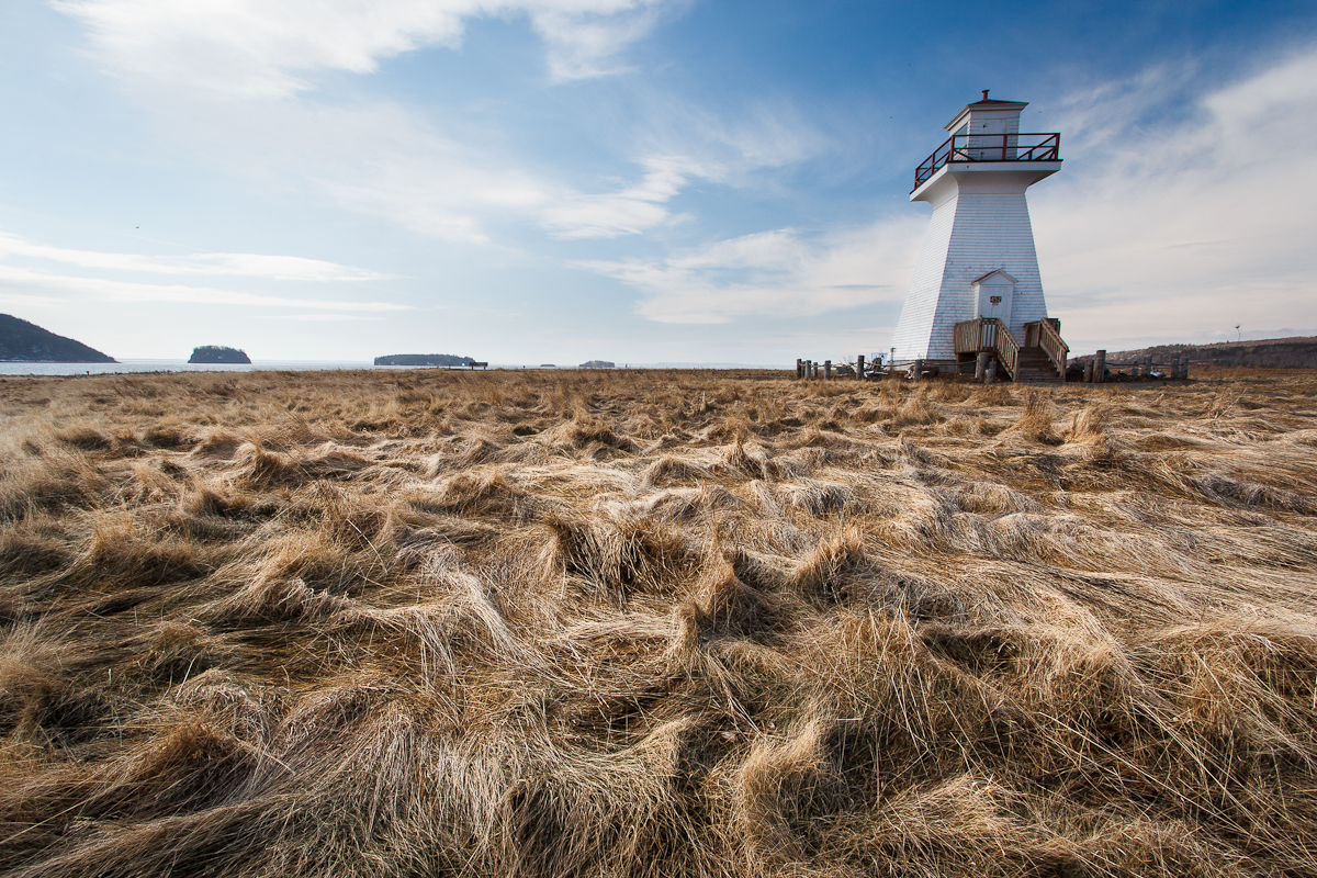
Five Islands Lighthouse
Five Islands Lighthouse
Five Islands Lighthouse
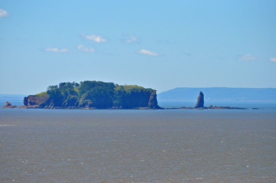
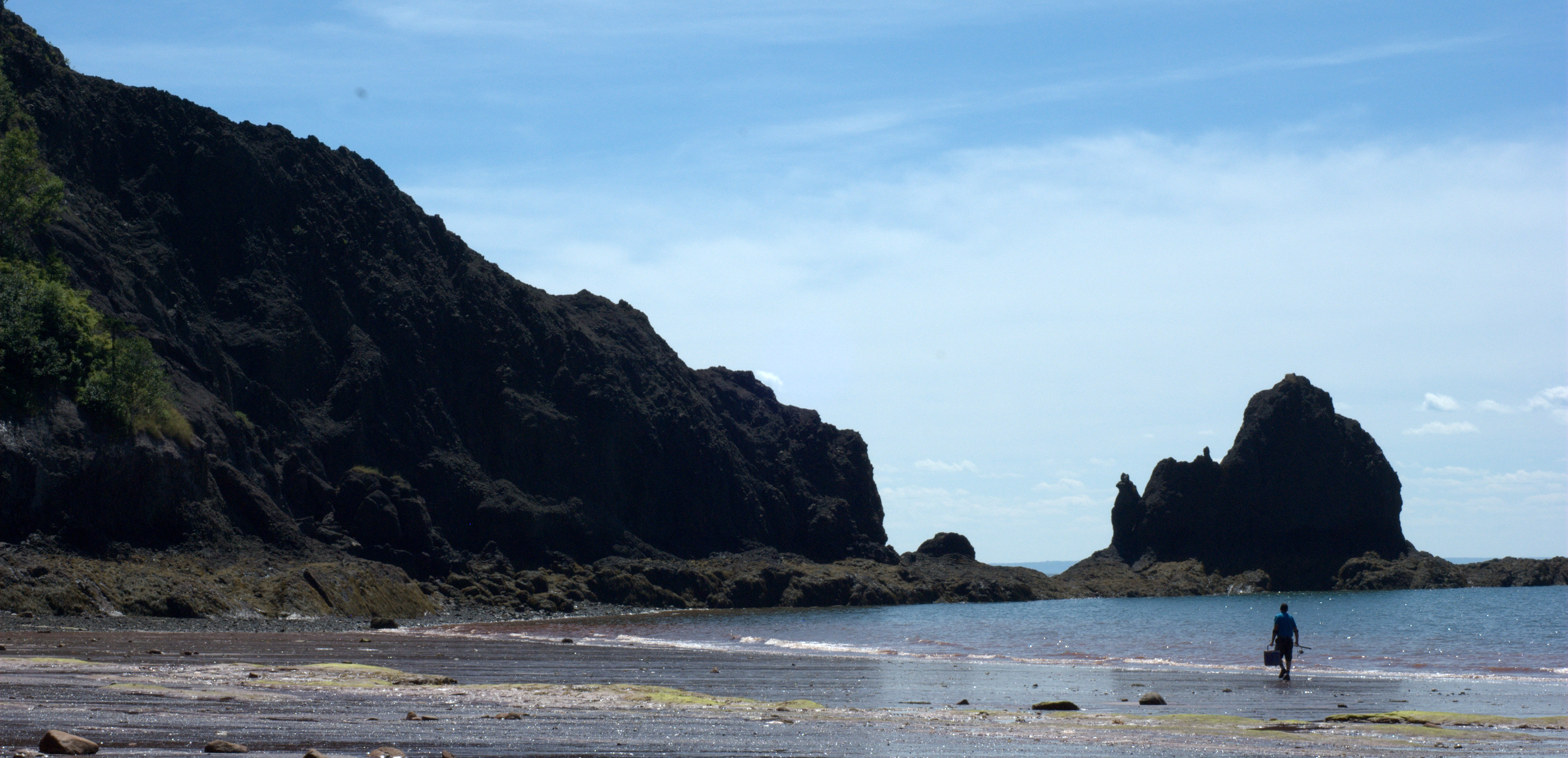
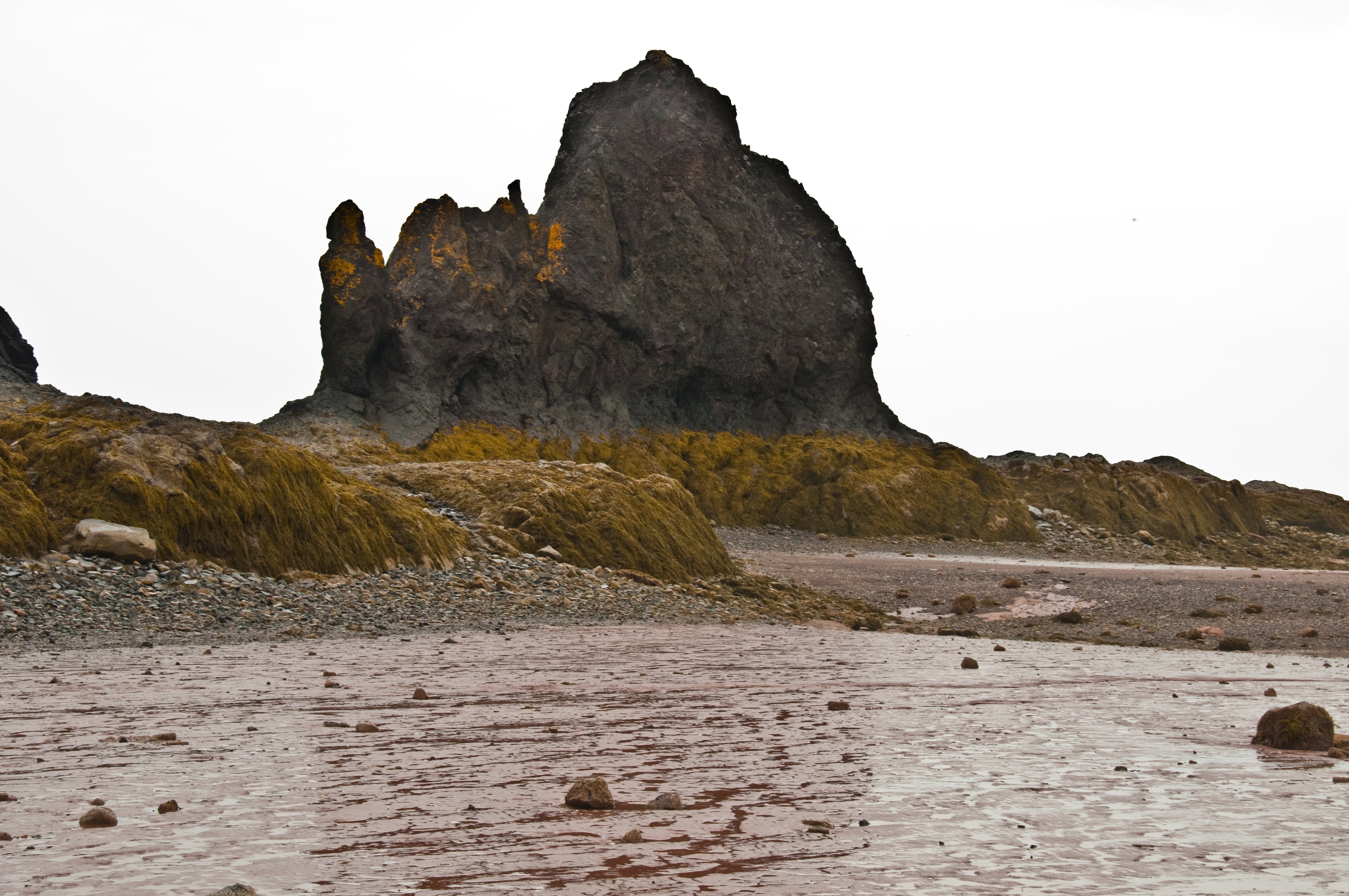
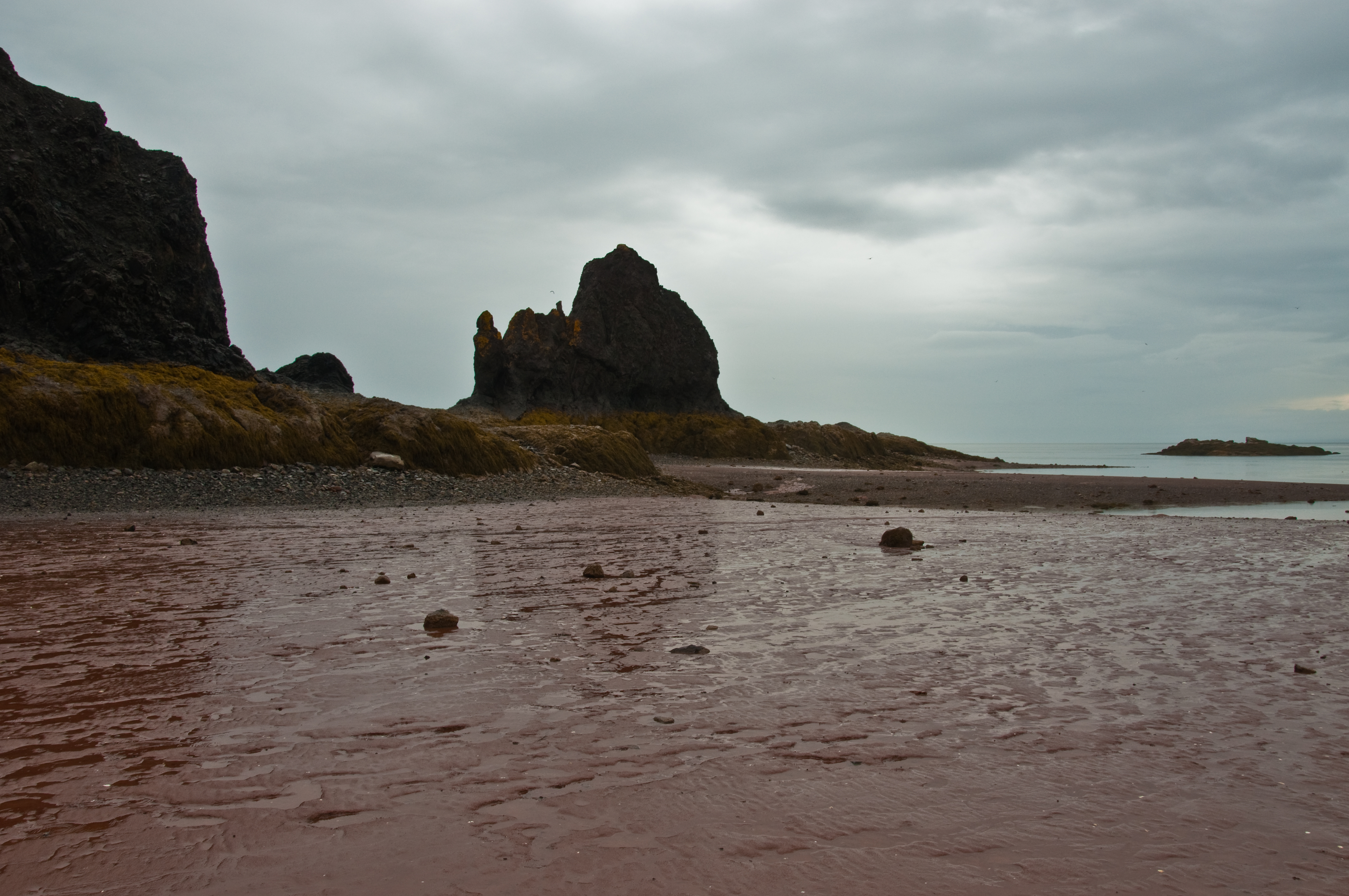
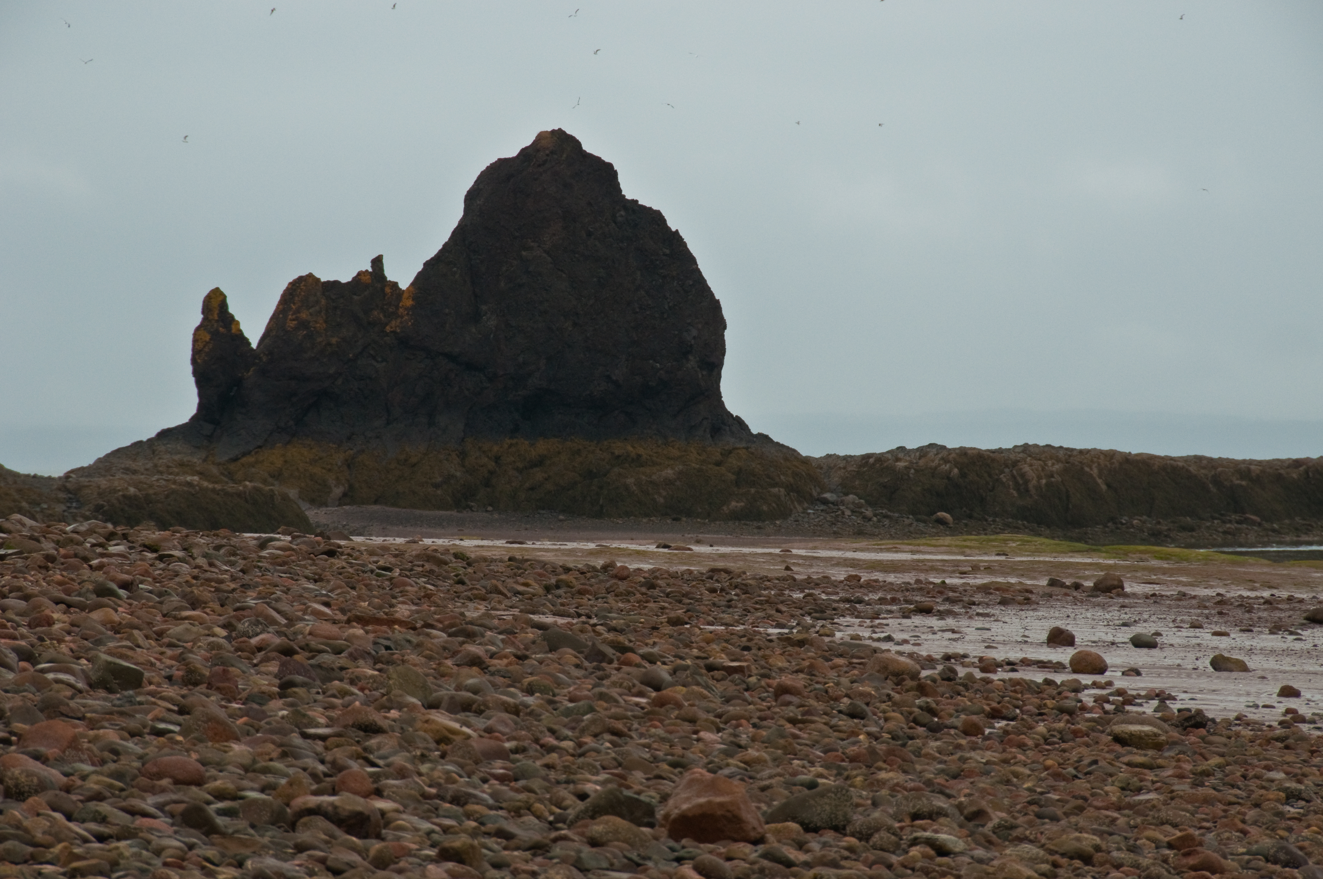
Sea stack, Lower Economy, Nova Scotia

Six Periwinkles, Two Islands, NS

IMG_1052 - Version 2

This is the view from the other side, Buttercup's not very happy with me tonight - she thinks I've been giving too much love to the rest of the crew
Lookout on Long Island

IMG_1043 - Version 2
IMG_1042 - Version 2

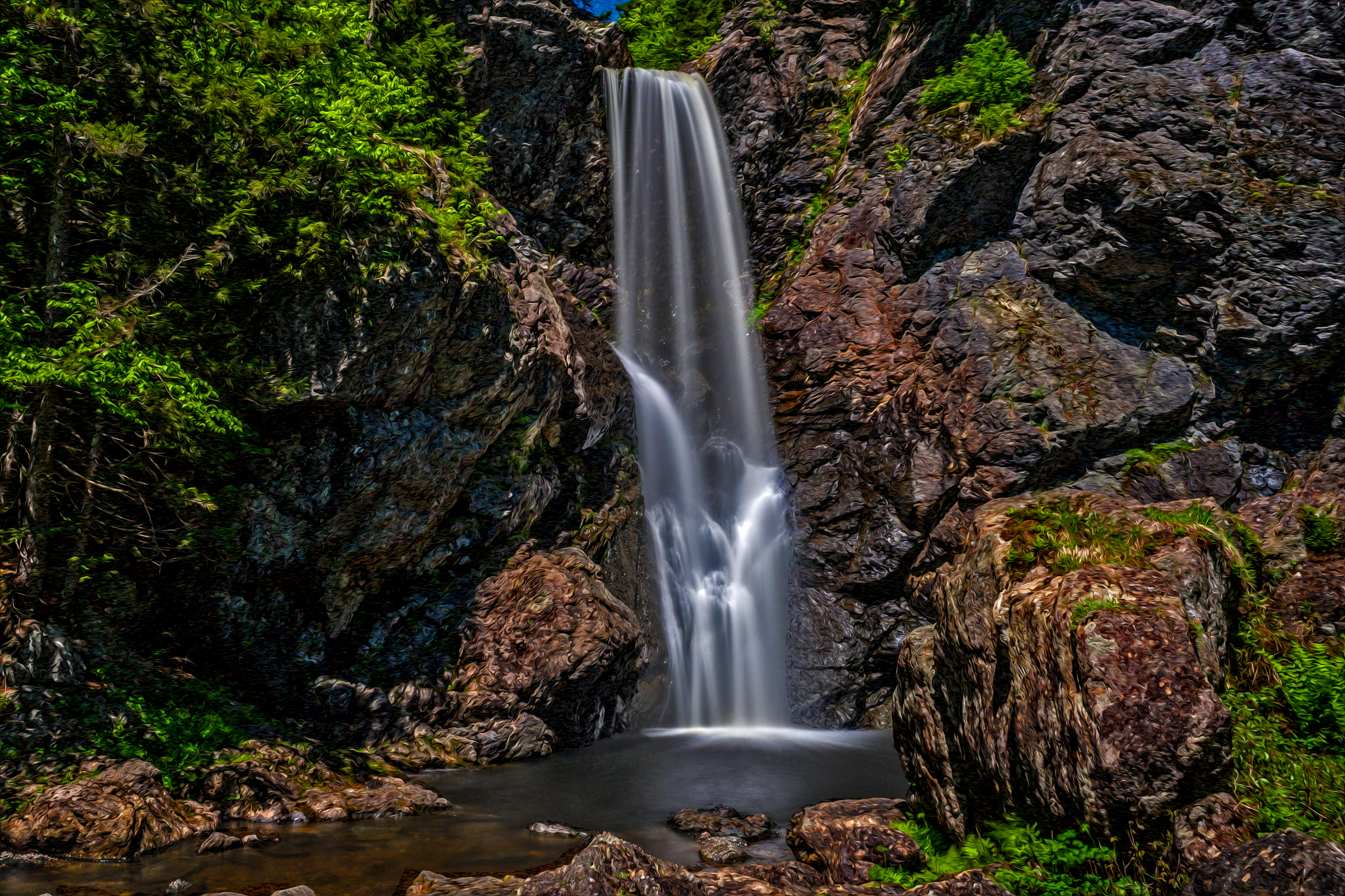
View from the top of Harrington Falls
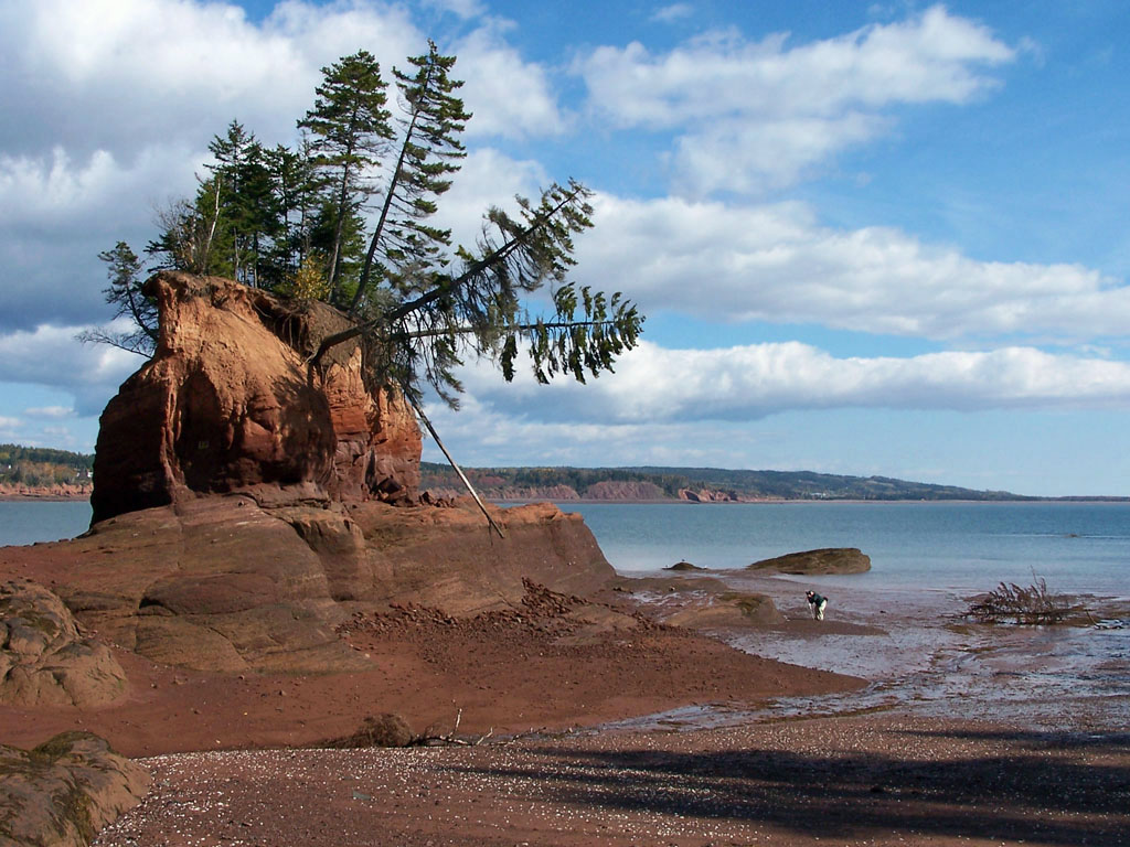
Red Head Point, Five Island Provincial Park
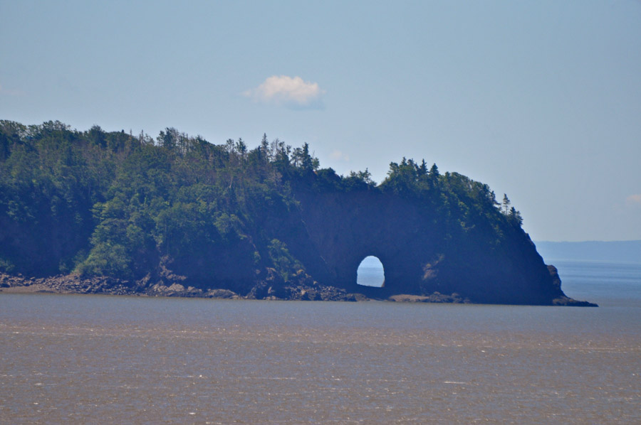
Five Islands Lighthouse - The Arch
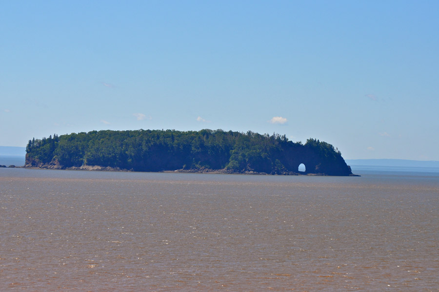
Five Islands Lighthouse
Five Islands Lighthouse
Five Islands Lighthouse
Five Islands Lighthouse

Five Islands Lighthouse
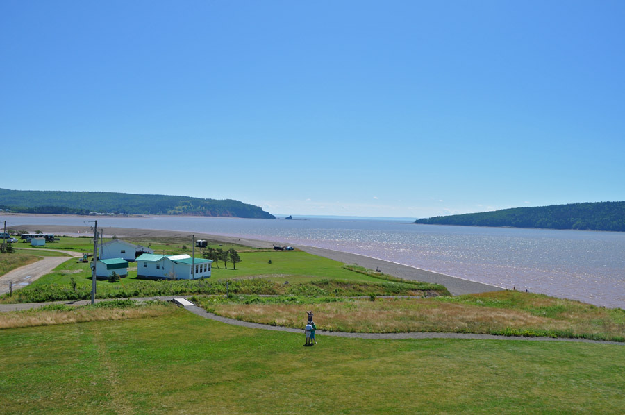
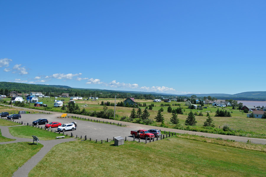
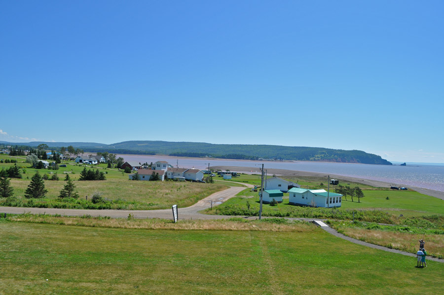
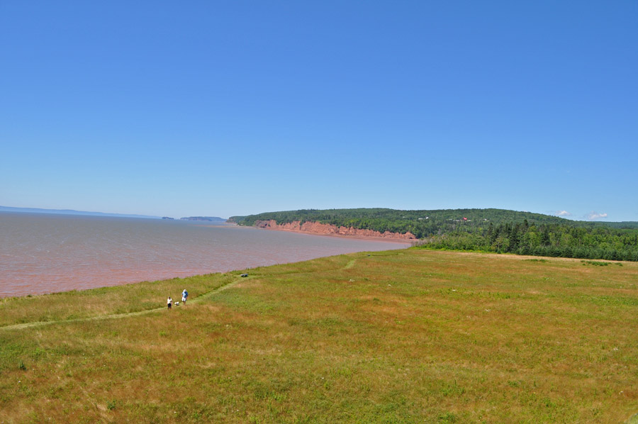
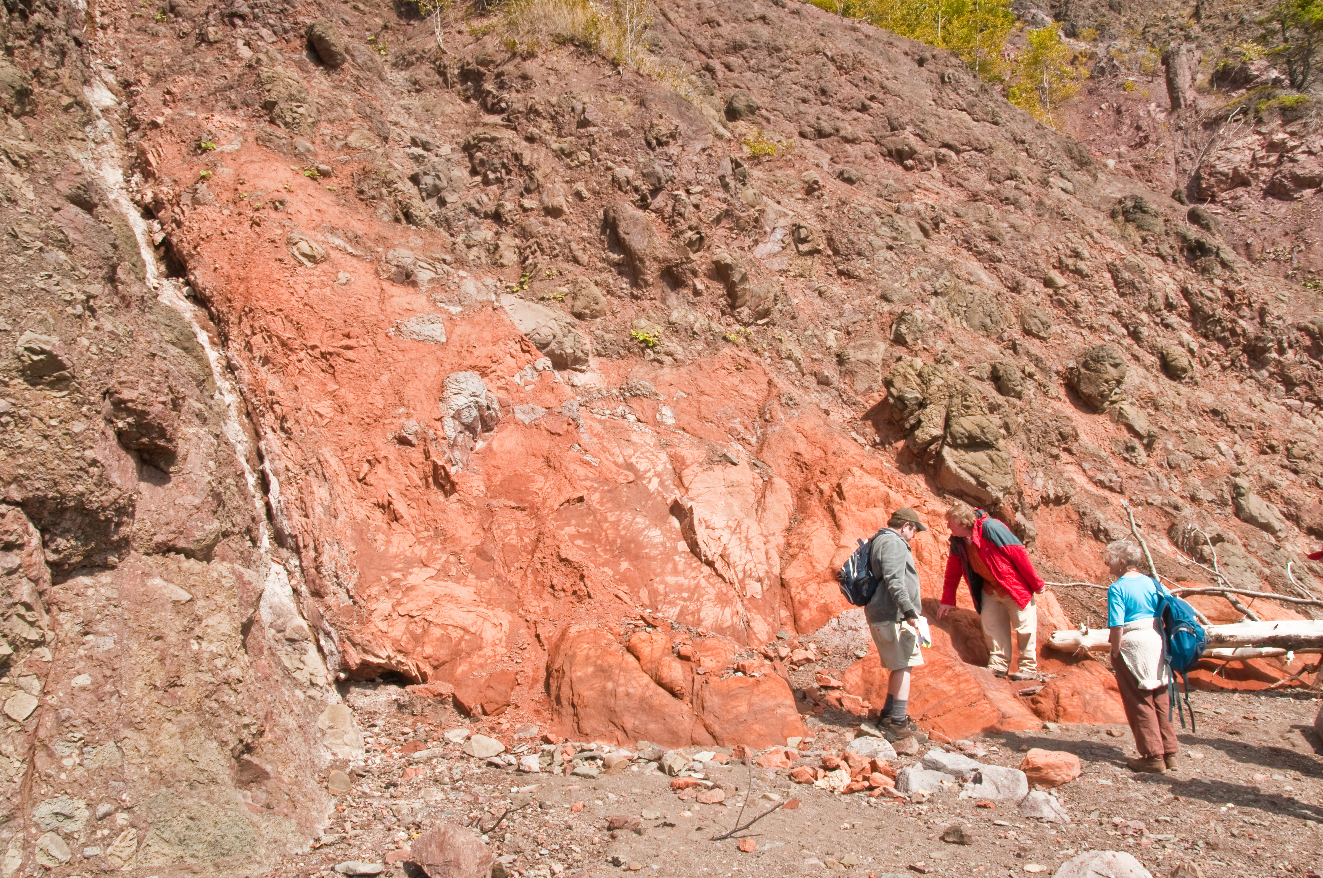
Five Islands Provincial Park

The last move?
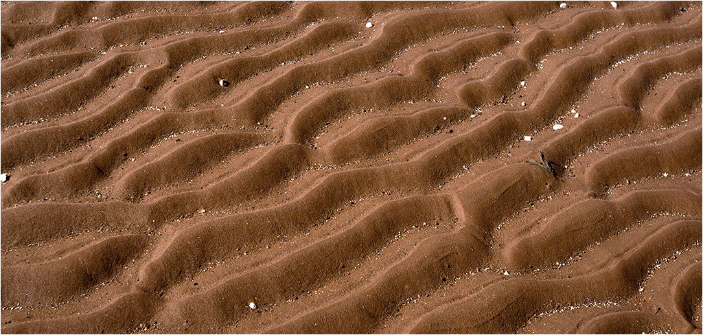
Low tide mud pattern, Bay of Fundy... Iscorama anamorphic.
Five Islands Provincial Park
DSC_1008.jpg
Localized Rain
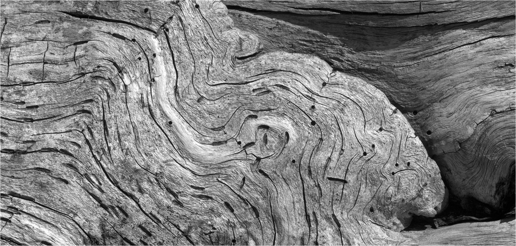
"Flowing" wood, Economy Point, Nova Scotia... Iscorama anamorphic
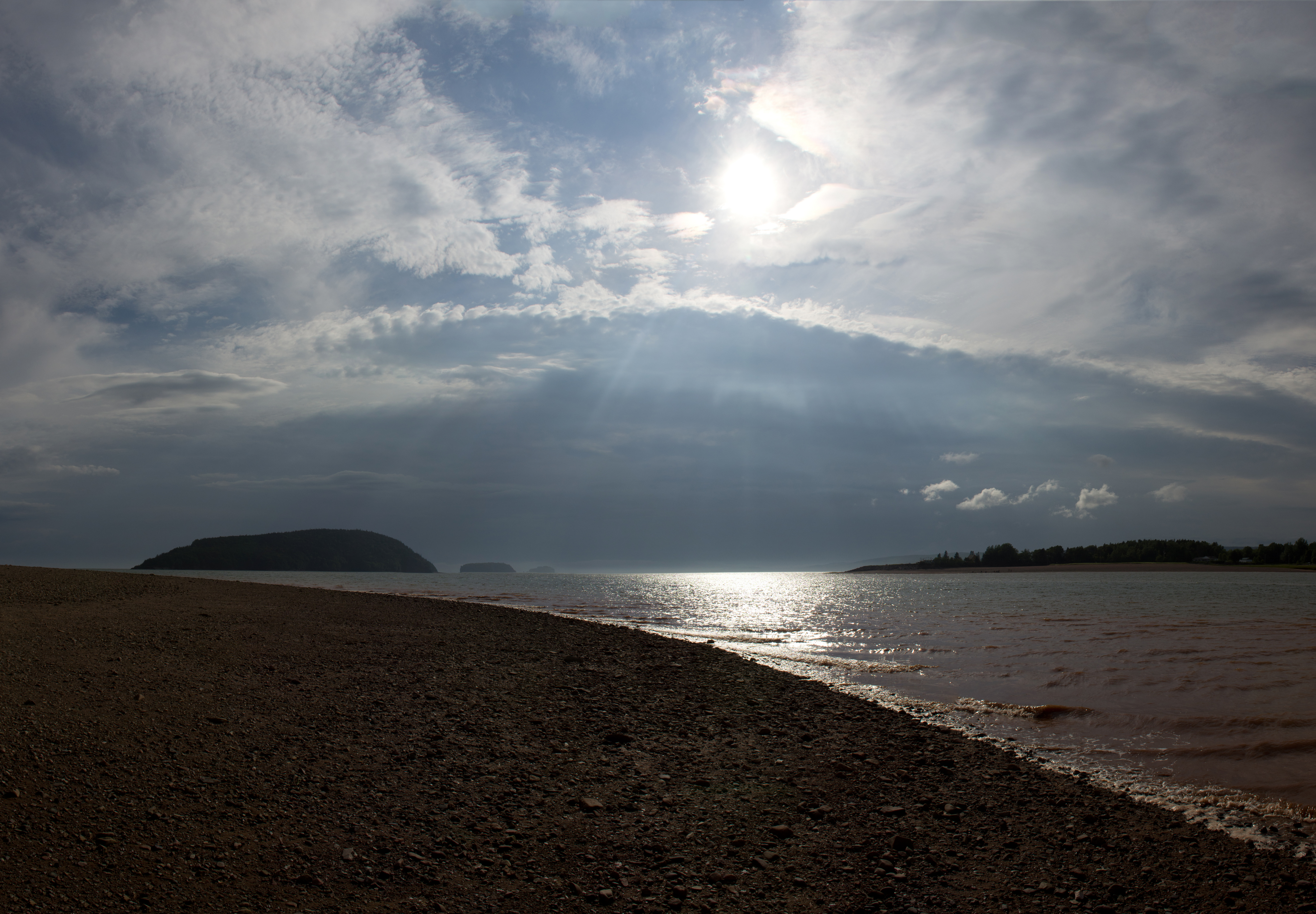
Monday on the Bay of Fundy
North River Falls and Summer Swimming Hole
Five Islands Lighthouse
Nothing Beats Camping
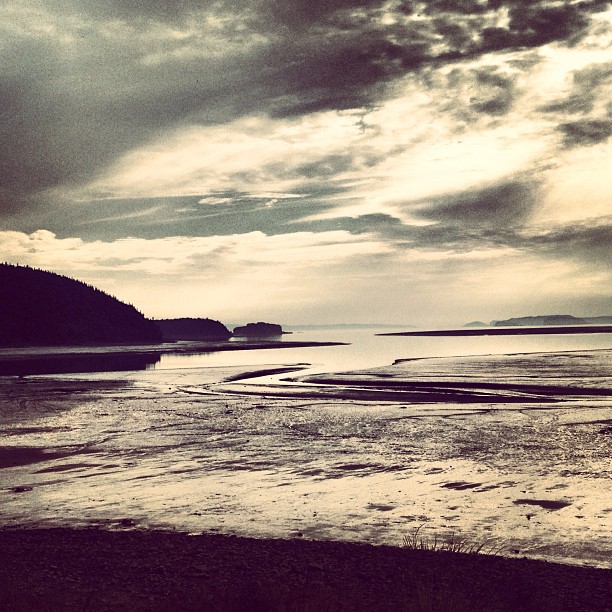
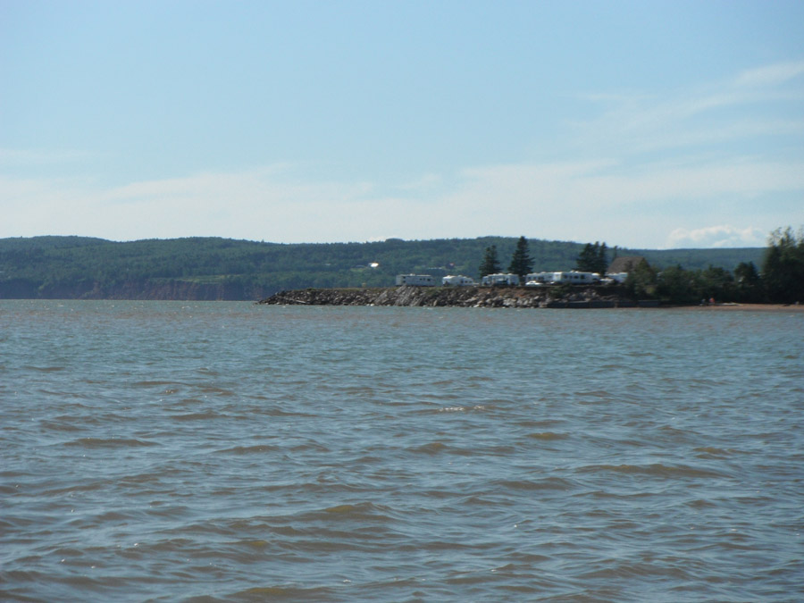
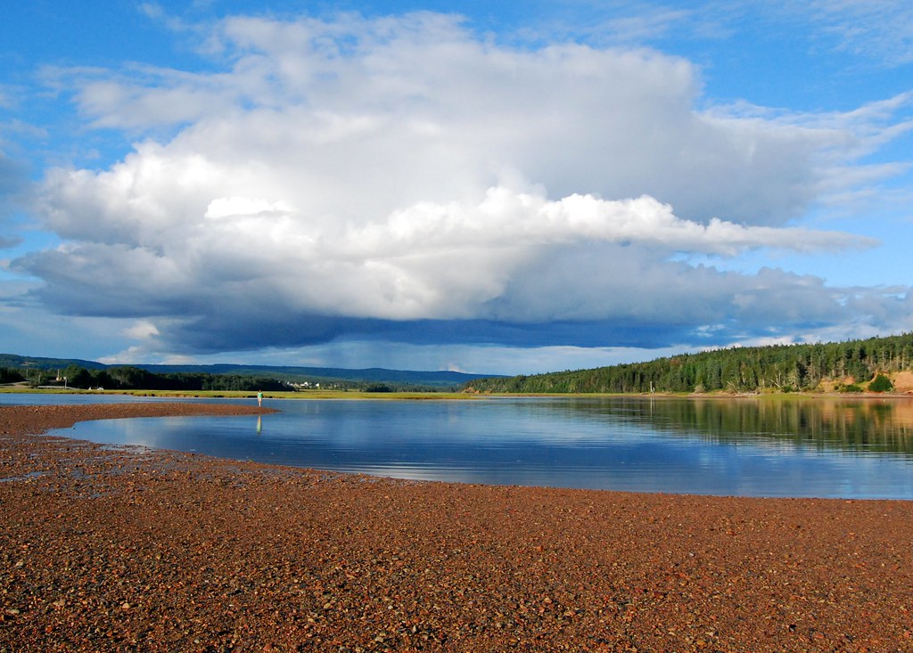
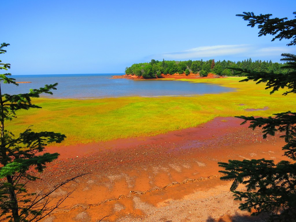
The beautiful Minas Basin off the the Bay of Fundy at low tide.

Five Islands, NS - HDR 3
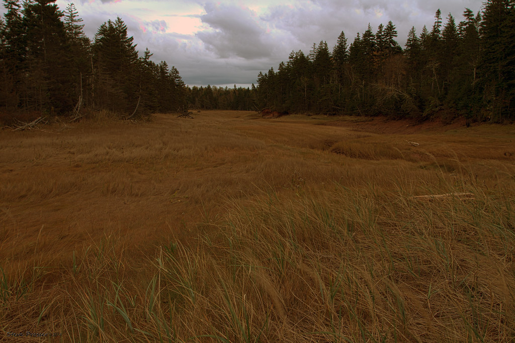
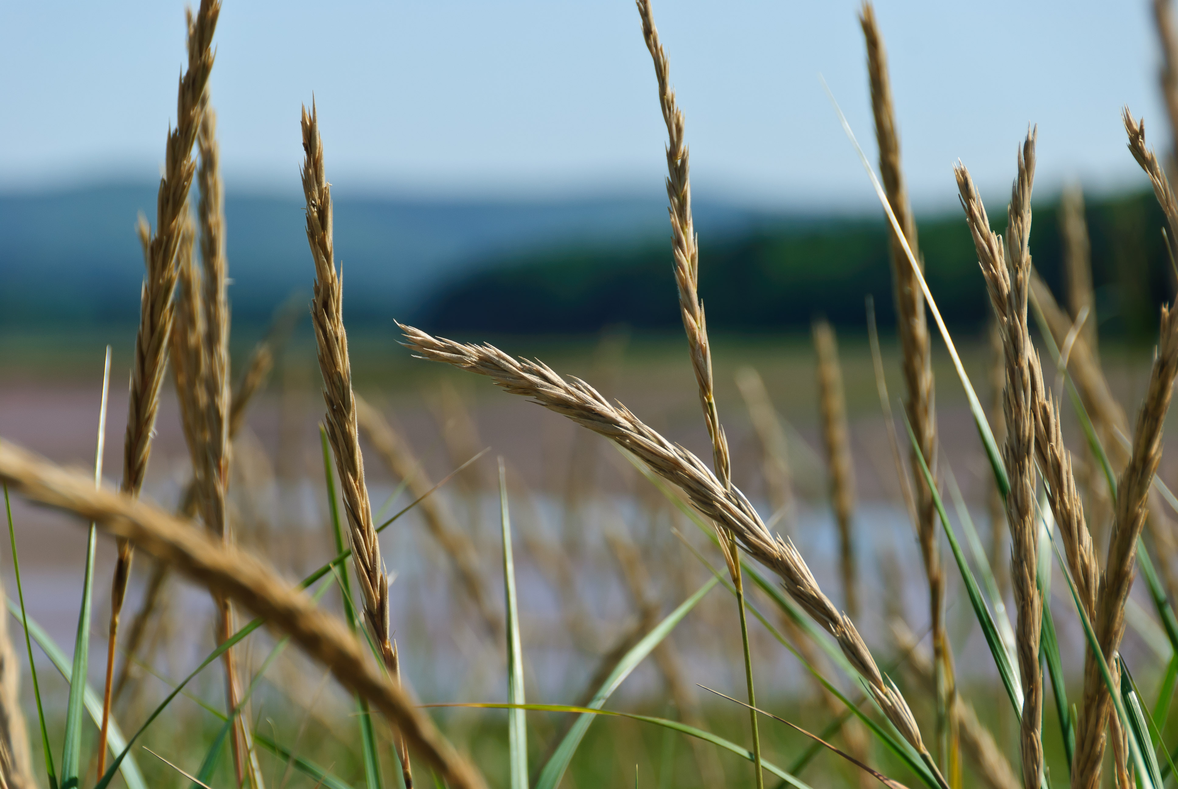
Marsh grass in HDR
Sunday on the Bay of Fundy
IMG_1054 - Version 2
Approaching Storm, Five Islands, Nova Scotia Panorama
East River meets Minas Basin
Sunday on the Bay of Fundy
Sunday on the Bay of Fundy
Topographic Map of Bentley Branch Rd, Five Islands, NS B0M 1K0, Canada
Find elevation by address:

Places near Bentley Branch Rd, Five Islands, NS B0M 1K0, Canada:
Nova Scotia Trunk 2, Five Islands, NS B0M 1K0, Canada
Little York Road
Blue Sac Rd, Lower Five Islands, NS B0M 1N0, Canada
Five Islands
72 Spring Tide Ln, Parrsboro, NS B0M 1S0, Canada
Walton
Two Islands
121 Cove Rd
Quarry Road
Quarry Road
Old Farm Rd, Parrsboro, NS B0M 1S0, Canada
7728 Ns-215
Windham Hill Rd, Springhill, NS B0M 1X0, Canada
Highway 215
Prospect Rd, Parrsboro, NS B0M 1S0, Canada
Canaan Mountain Rd, Southampton, NS B0M 1W0, Canada
Athol Rd, Springhill, NS B0M 1X0, Canada
124 Wentworth Collingwood Rd
Mcdougal Street
Collingwood Corner
Recent Searches:
- Elevation of Corso Fratelli Cairoli, 35, Macerata MC, Italy
- Elevation of Tallevast Rd, Sarasota, FL, USA
- Elevation of 4th St E, Sonoma, CA, USA
- Elevation of Black Hollow Rd, Pennsdale, PA, USA
- Elevation of Oakland Ave, Williamsport, PA, USA
- Elevation of Pedrógão Grande, Portugal
- Elevation of Klee Dr, Martinsburg, WV, USA
- Elevation of Via Roma, Pieranica CR, Italy
- Elevation of Tavkvetili Mountain, Georgia
- Elevation of Hartfords Bluff Cir, Mt Pleasant, SC, USA