Elevation of Benimanipur, Nepal
Location: Nepal > Western Region > Lumbini >
Longitude: 83.86
Latitude: 27.66
Elevation: 181m / 594feet
Barometric Pressure: 99KPa
Elevation Map:
Satellite Map:
Related Photos:

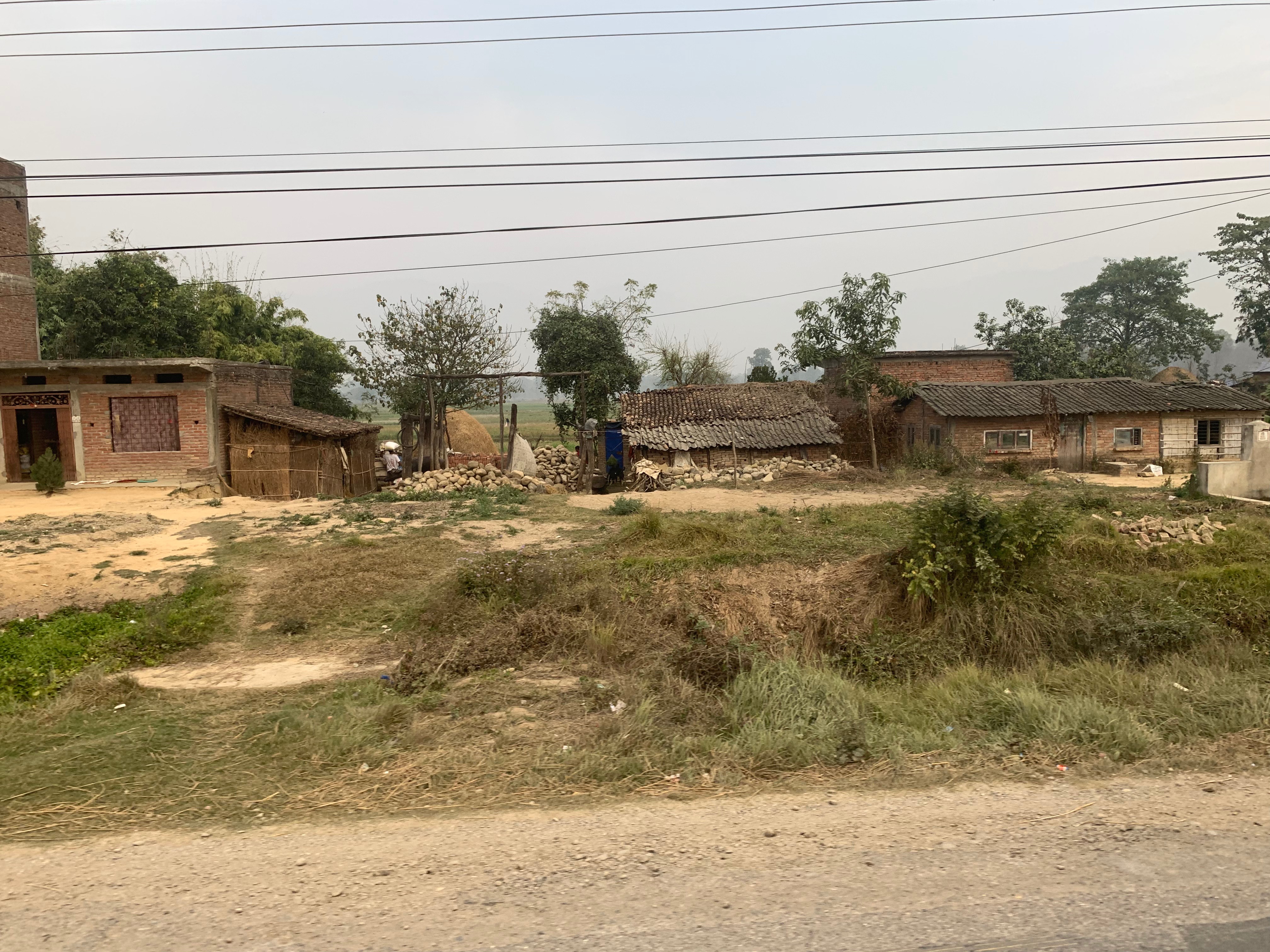
TRUCK VIEW

TRUCK VIEW

TRUCK VIEW

TRUCK VIEW

TRUCK VIEW

TRUCK VIEW

TRUCK VIEW
TRUCK VIEW

TRUCK VIEW

TRUCK VIEW

TRUCK VIEW

Southern Nepal

Southern Nepal

Naya Belahani -3, Jwaithar
DSCN7597.jpg
Topographic Map of Benimanipur, Nepal
Find elevation by address:

Places near Benimanipur, Nepal:
Sardi Bagaicha
Sardi Bagaicha
Nawalparasi
Wakamalang
Ramgram
Chapakot Municipality Office
Tintale
Chapakot
Syauli Bazar
Gajarkot
Puttar
Nawalparasi Lumbini Travel
Kawasoti Thana Chok
Kawasoti
Dedgaun
Lumbini
Syangja
Meghauli
Tansen
Meghauli Airport
Recent Searches:
- Elevation of Co Rd 87, Jamestown, CO, USA
- Elevation of Tenjo, Cundinamarca, Colombia
- Elevation of Côte-des-Neiges, Montreal, QC H4A 3J6, Canada
- Elevation of Bobcat Dr, Helena, MT, USA
- Elevation of Zu den Ihlowbergen, Althüttendorf, Germany
- Elevation of Badaber, Peshawar, Khyber Pakhtunkhwa, Pakistan
- Elevation of SE Heron Loop, Lincoln City, OR, USA
- Elevation of Slanický ostrov, 01 Námestovo, Slovakia
- Elevation of Spaceport America, Co Rd A, Truth or Consequences, NM, USA
- Elevation of Warwick, RI, USA