Elevation of Benara, SA, Australia
Location: Australia > South Australia >
Longitude: 140.454481
Latitude: -37.817399
Elevation: 19m / 62feet
Barometric Pressure: 101KPa
Elevation Map:
Satellite Map:
Related Photos:
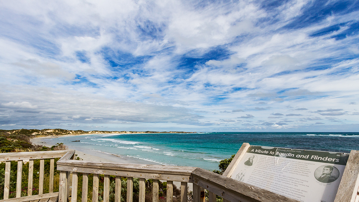
Cape Banks lookout
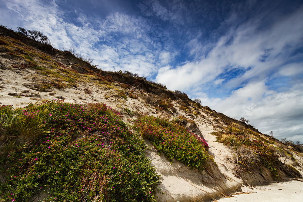
Into the dunes
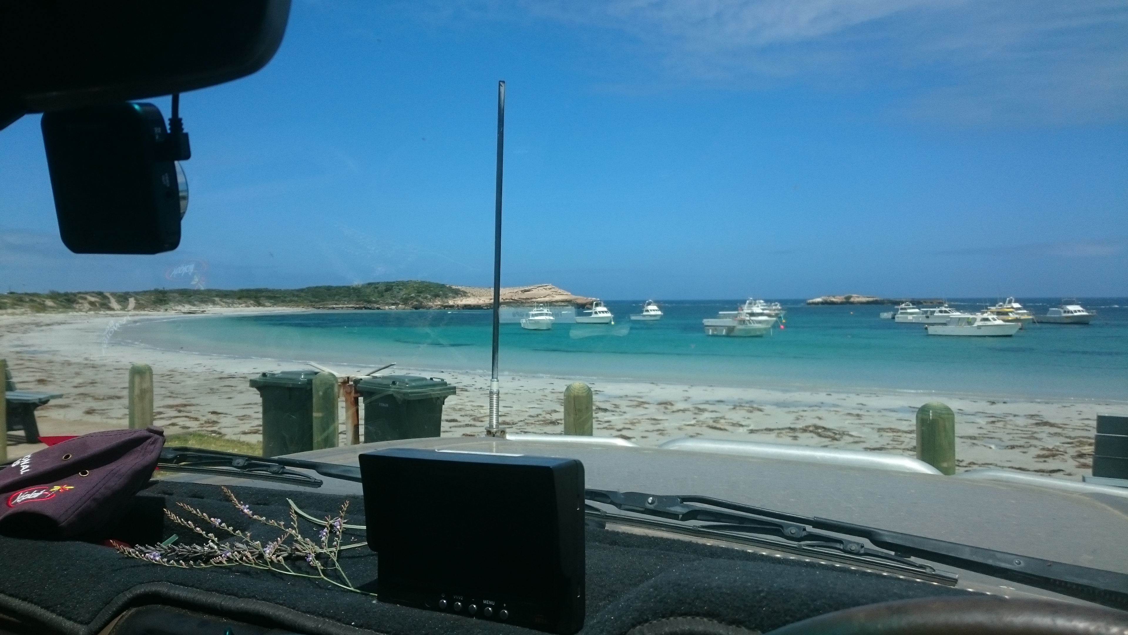
View fm our picnic table
Slick II
Canunda, SA
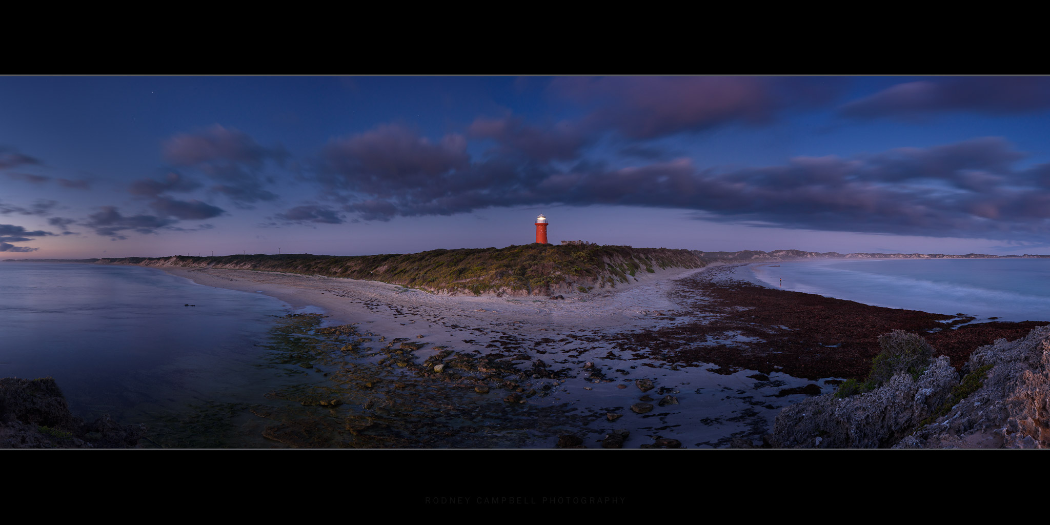
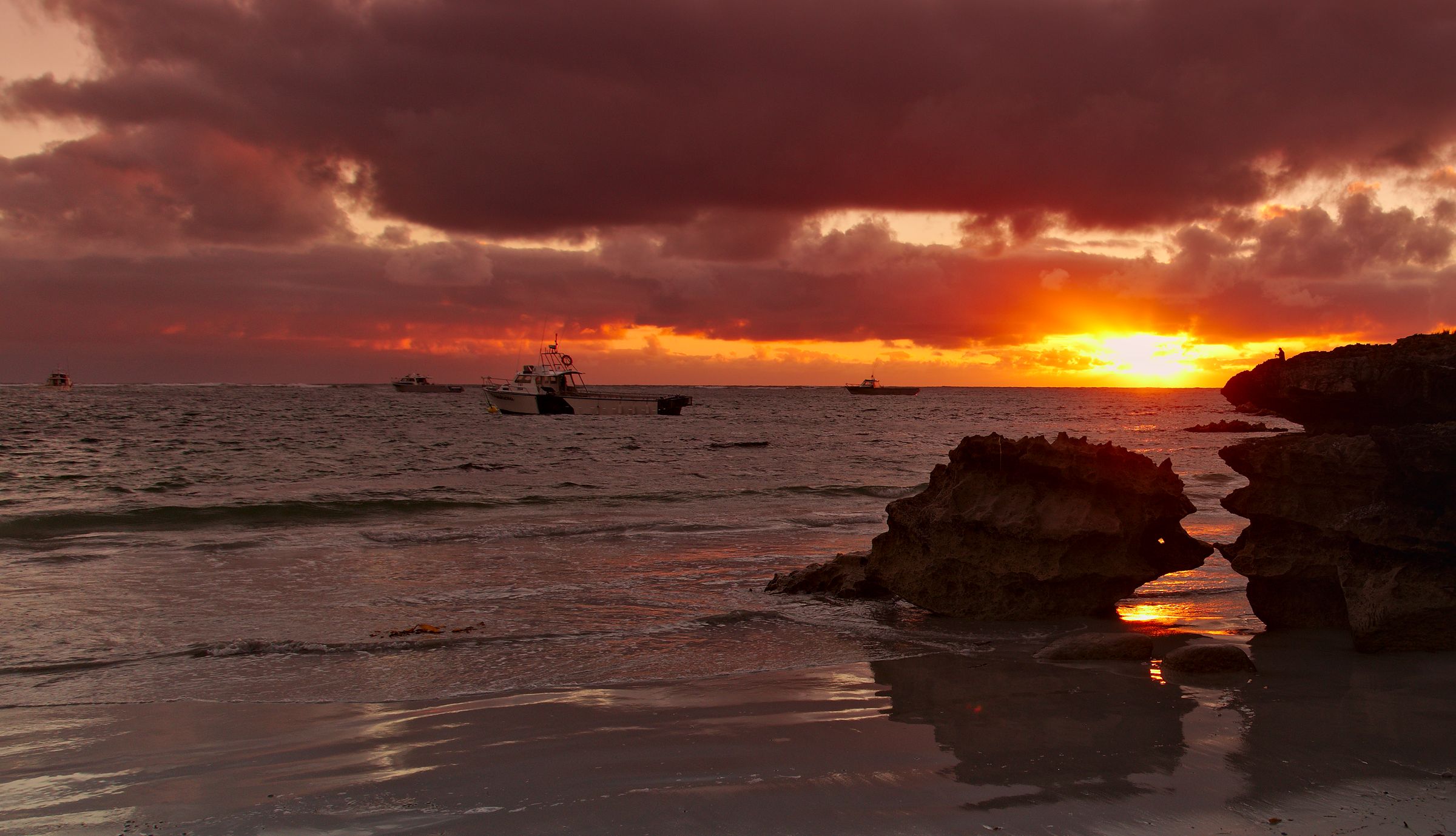
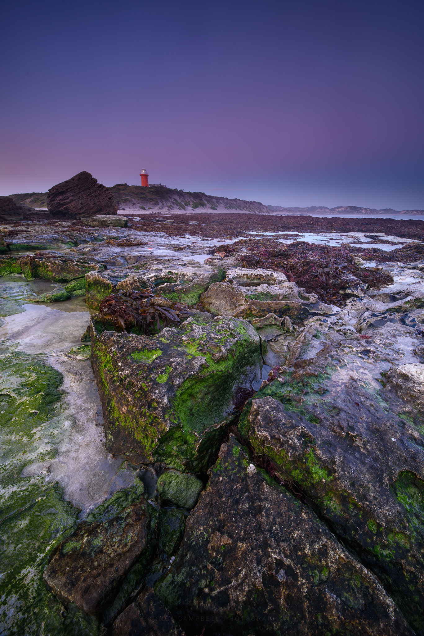
The Lighthouse
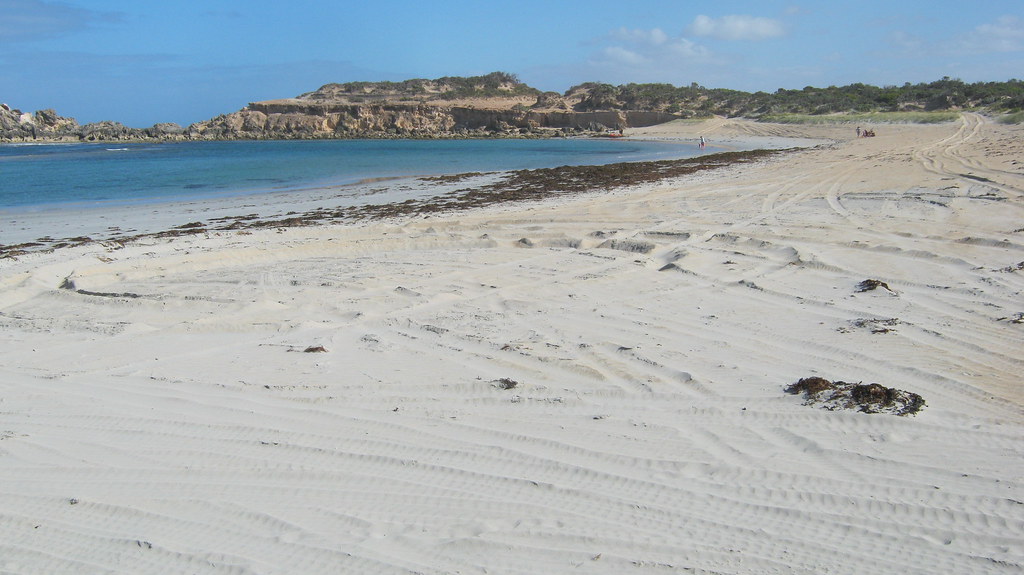
Lighthouse Bay Beach
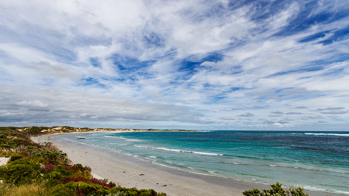
Lighthouse Bay
Softly Reprise
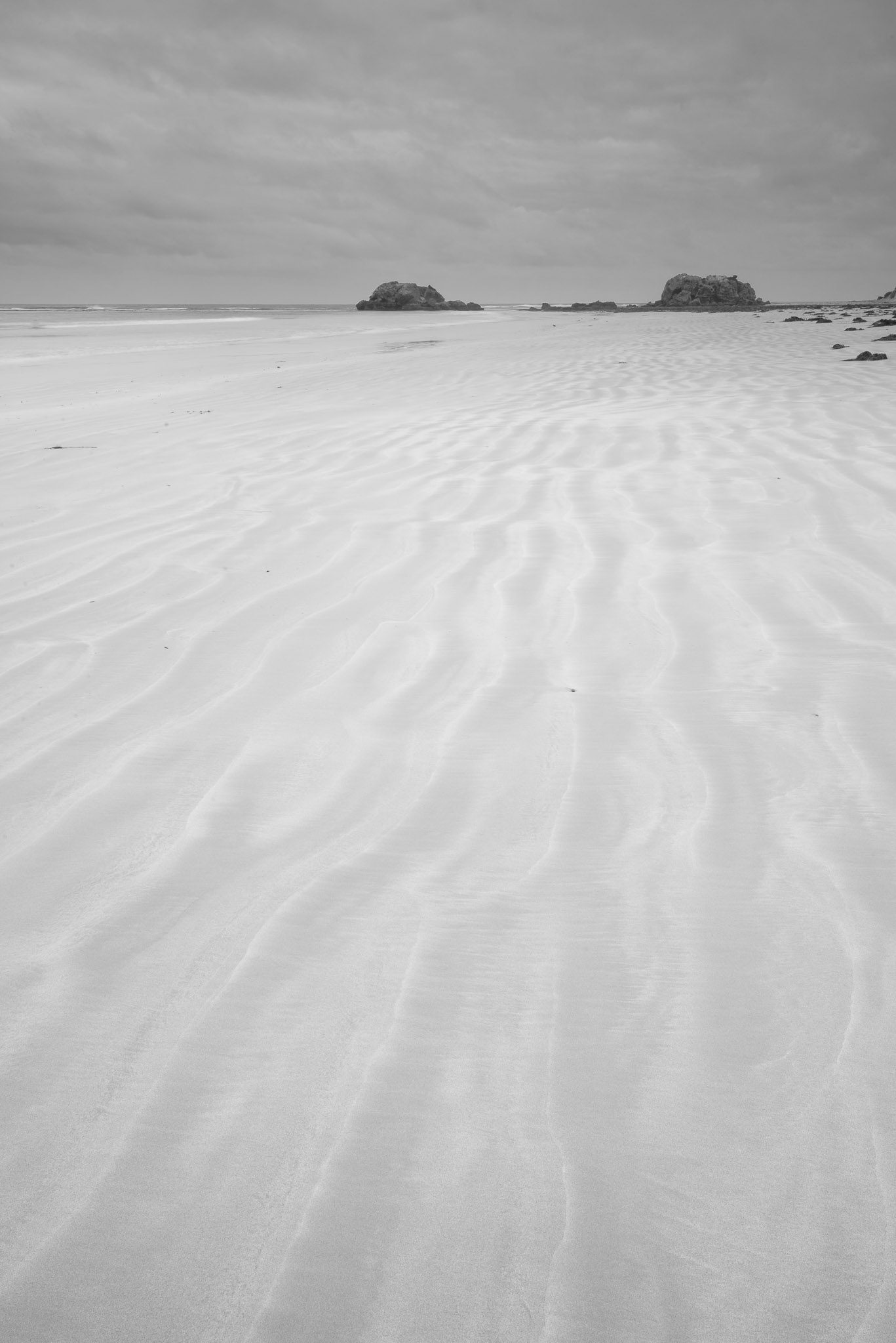
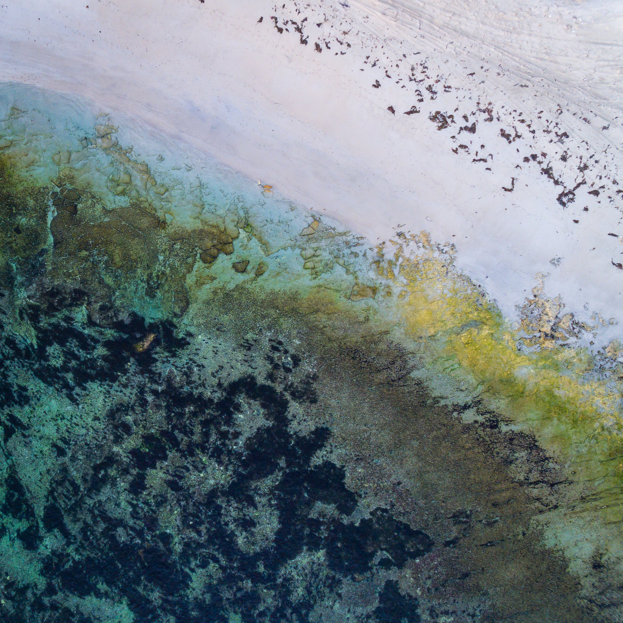
Monochromatic Wash
Canunda, SA
Blackfellows Caves
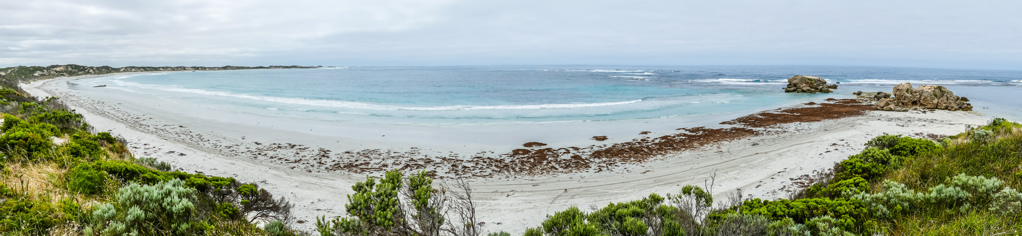
Cape Banks Panorama
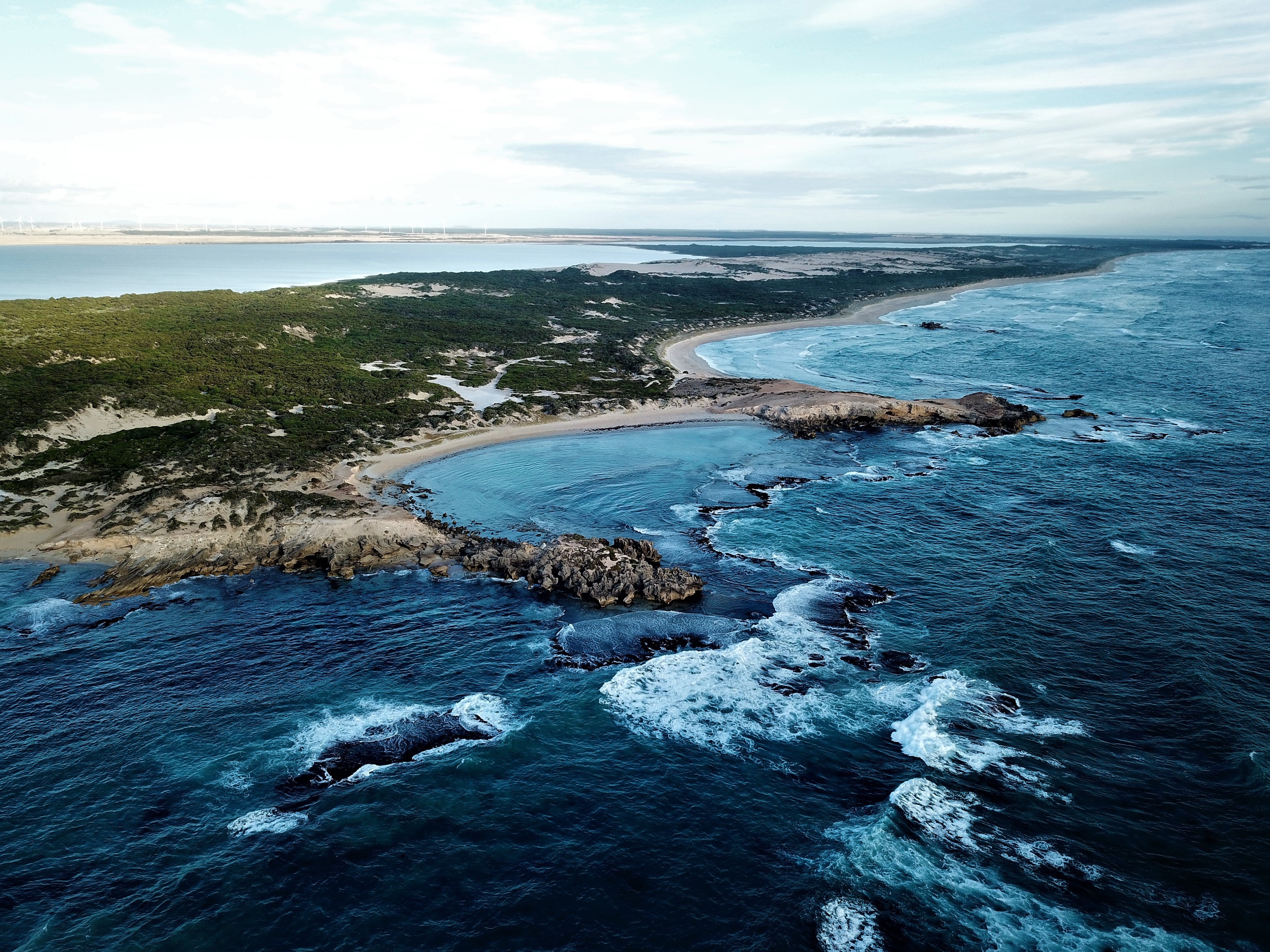
Crossing Dimension
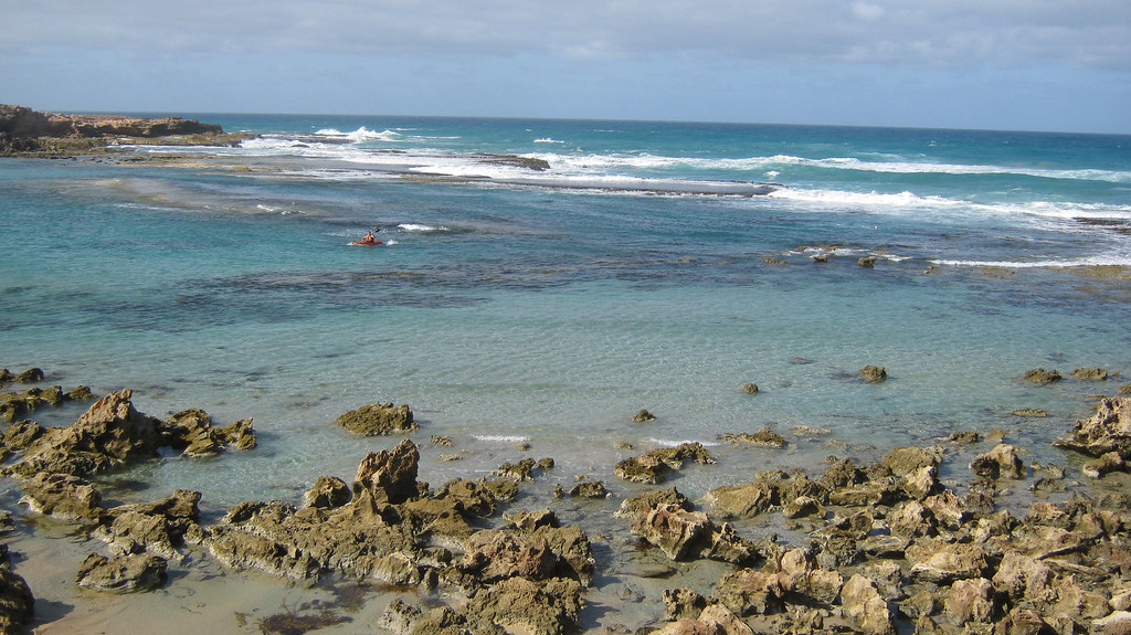
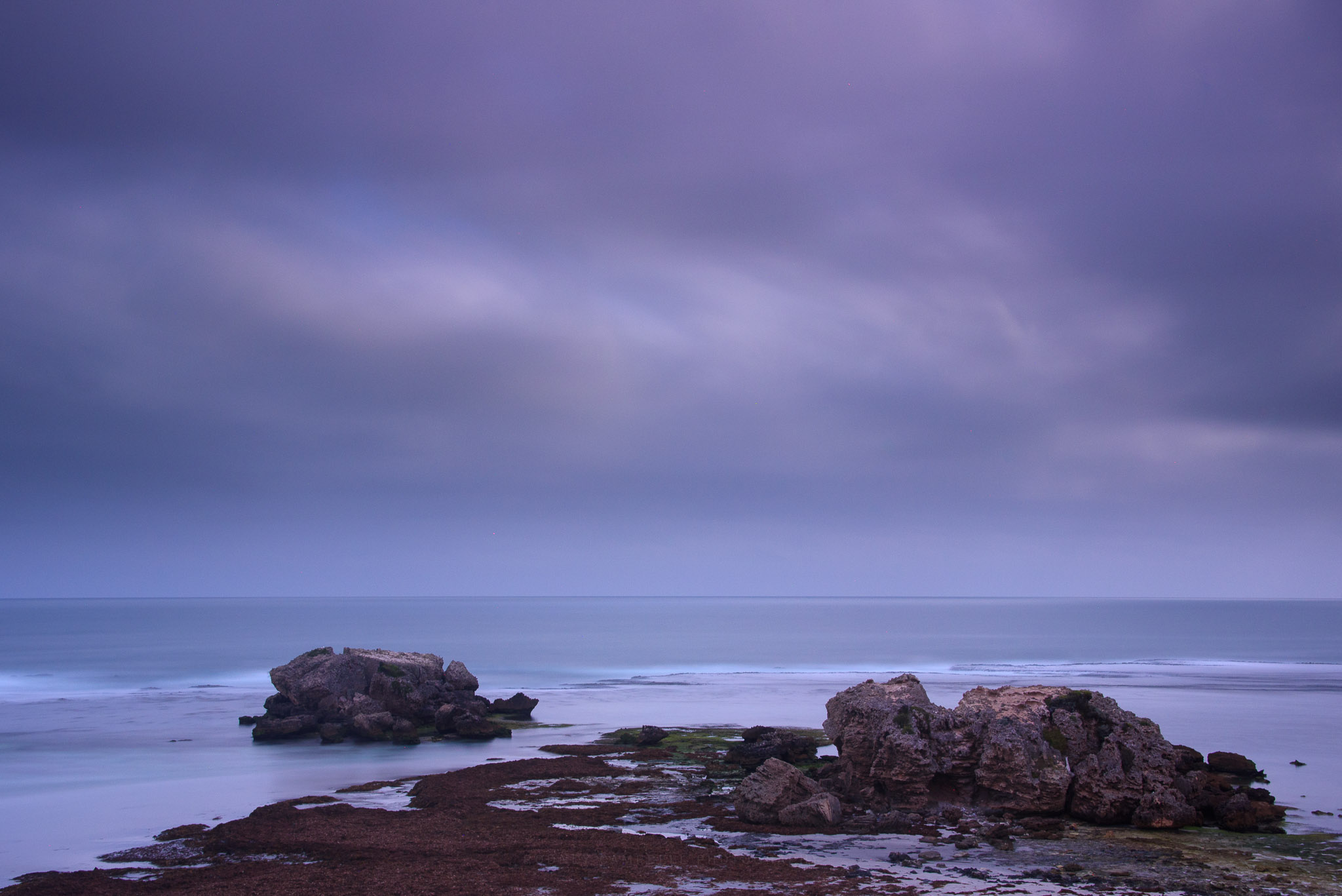
Number Two Rocks
Number Two Rocks
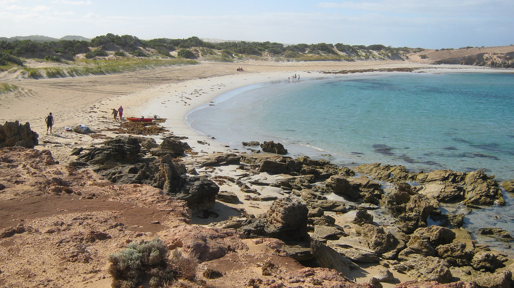
Number Two Rocks
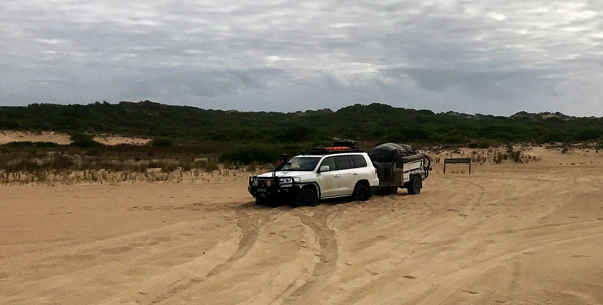
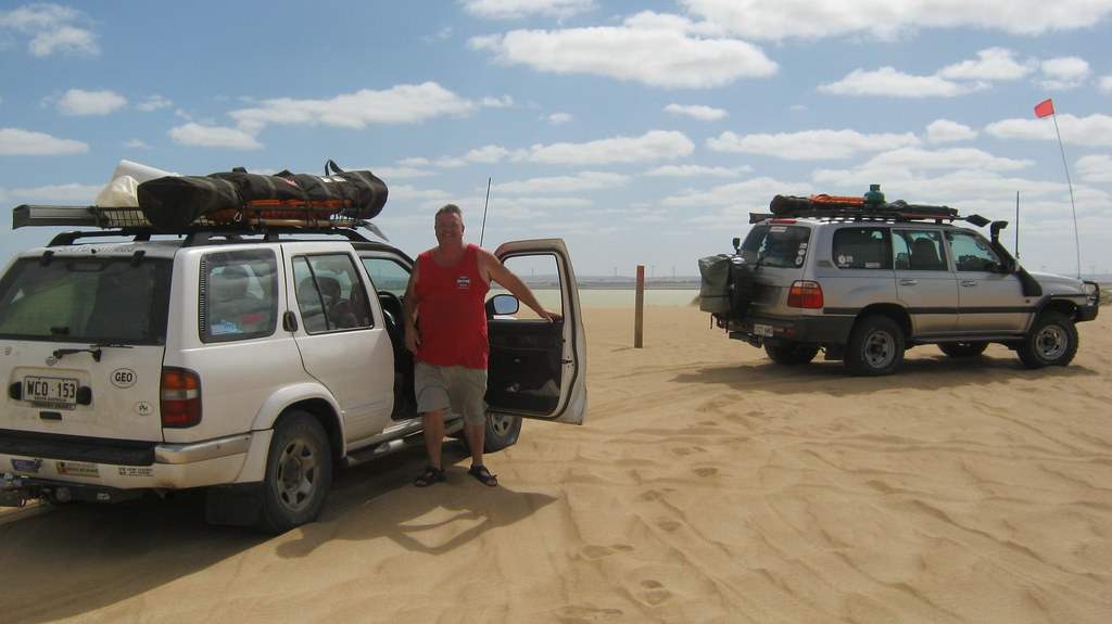
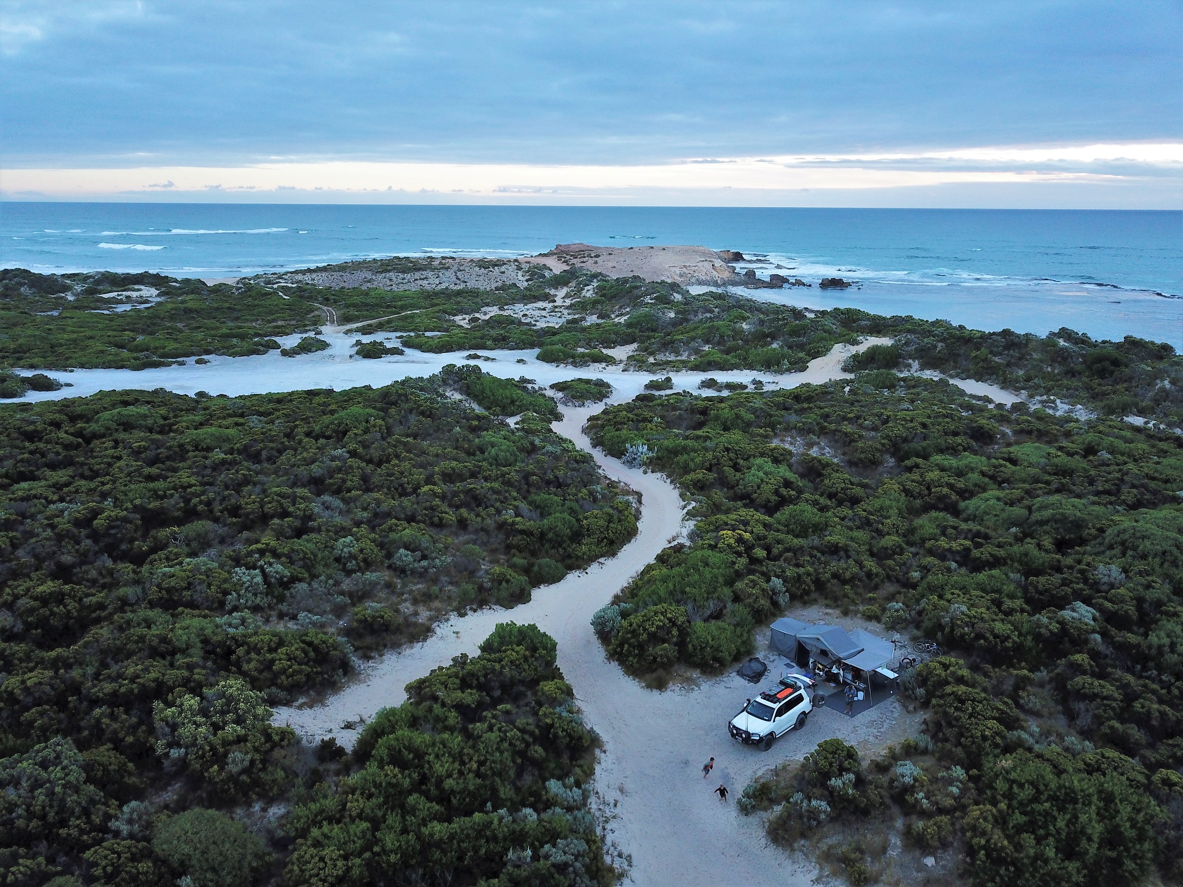
Happily bogged far from the ocean

Cape Banks
Topographic Map of Benara, SA, Australia
Find elevation by address:

Places near Benara, SA, Australia:
Recent Searches:
- Elevation of S Layton Cir W, Layton, UT, USA
- Elevation of F36W+3M, Mussoorie, Uttarakhand, India
- Elevation of Fairland Ave, Fairhope, AL, USA
- Elevation of Sunset Dr, Richmond, VA, USA
- Elevation of Grodna District, Hrodna Region, Belarus
- Elevation of Hrodna, Hrodna Region, Belarus
- Elevation of Sandia Derby Estates, Tijeras, NM, USA
- Elevation of 23 Sunrise View Ct, Tijeras, NM, USA
- Elevation of Lytham Ln, Katy, TX, USA
- Elevation of Tater Hill, Oklahoma, USA