Elevation of Benambra-Corryong Rd, Benambra VIC, Australia
Location: Australia > Victoria > East Gippsland Shire > Benambra >
Longitude: 147.705225
Latitude: -36.856915
Elevation: 697m / 2287feet
Barometric Pressure: 93KPa
Elevation Map:
Satellite Map:
Related Photos:

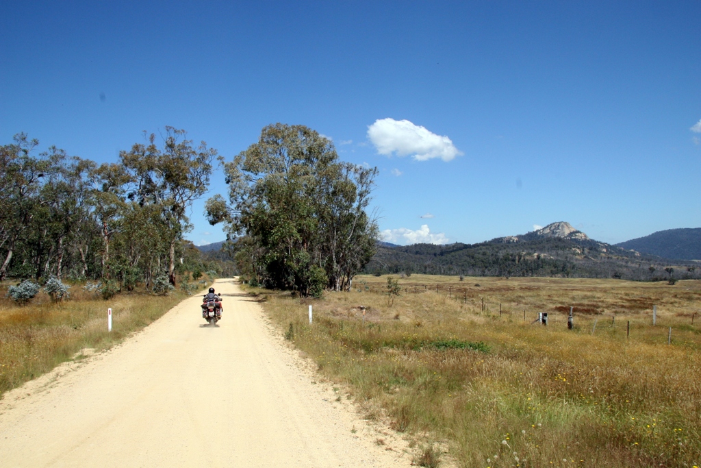
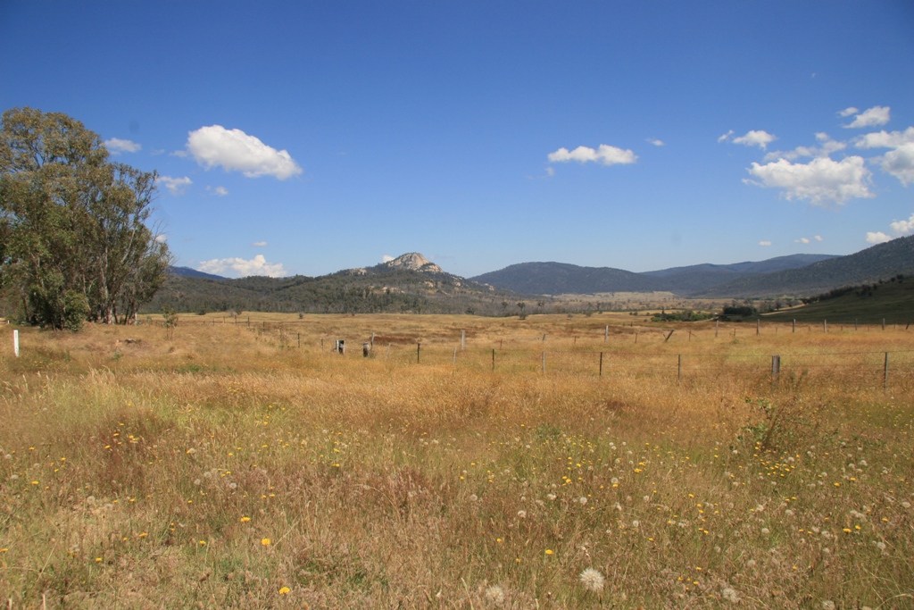
Victorian High Country
080105 Charlie Creek-Duck Point (6)
Lake Omeo
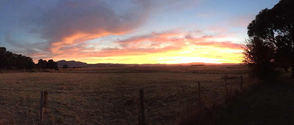
benabra - high plains sunset

Victorian High Country
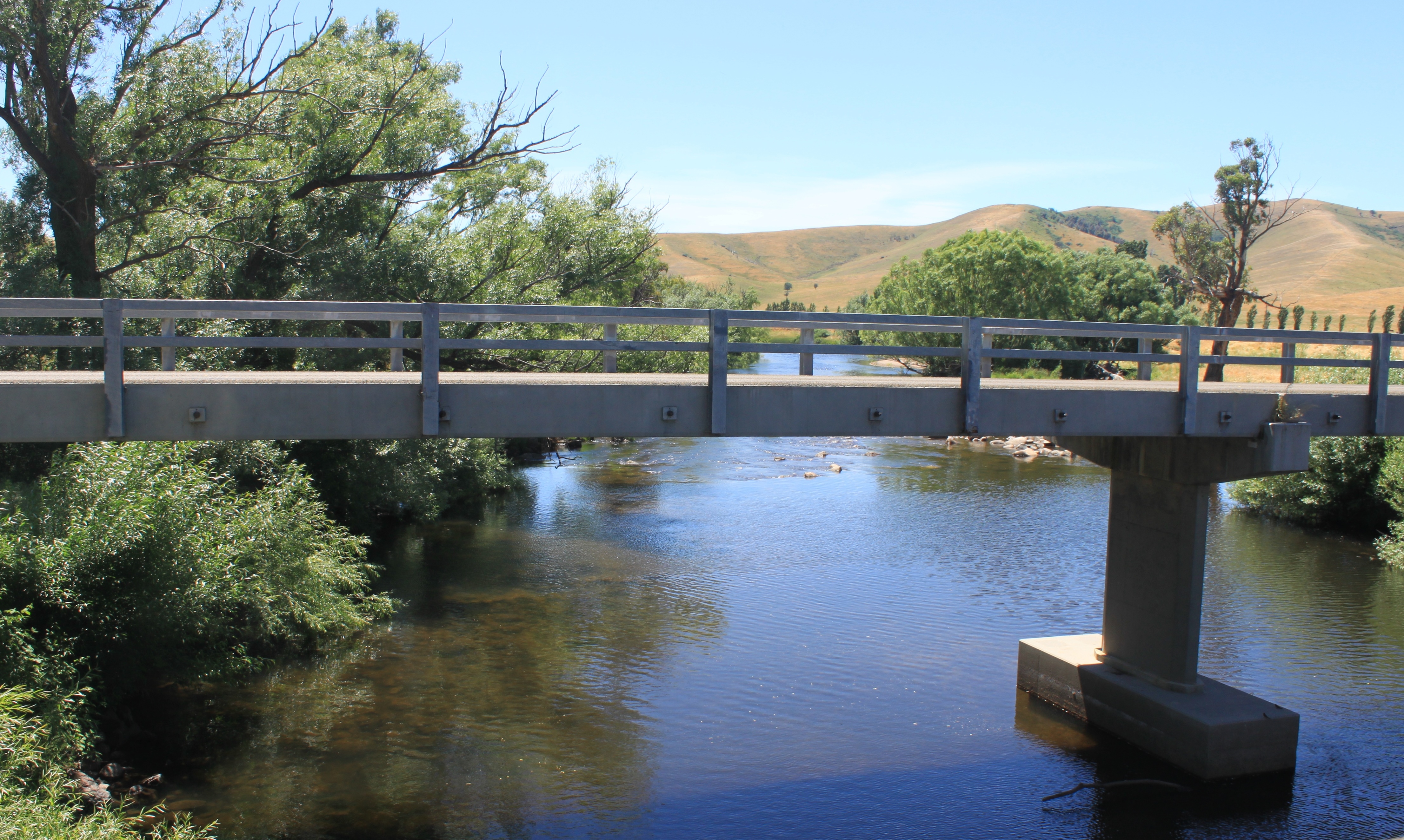
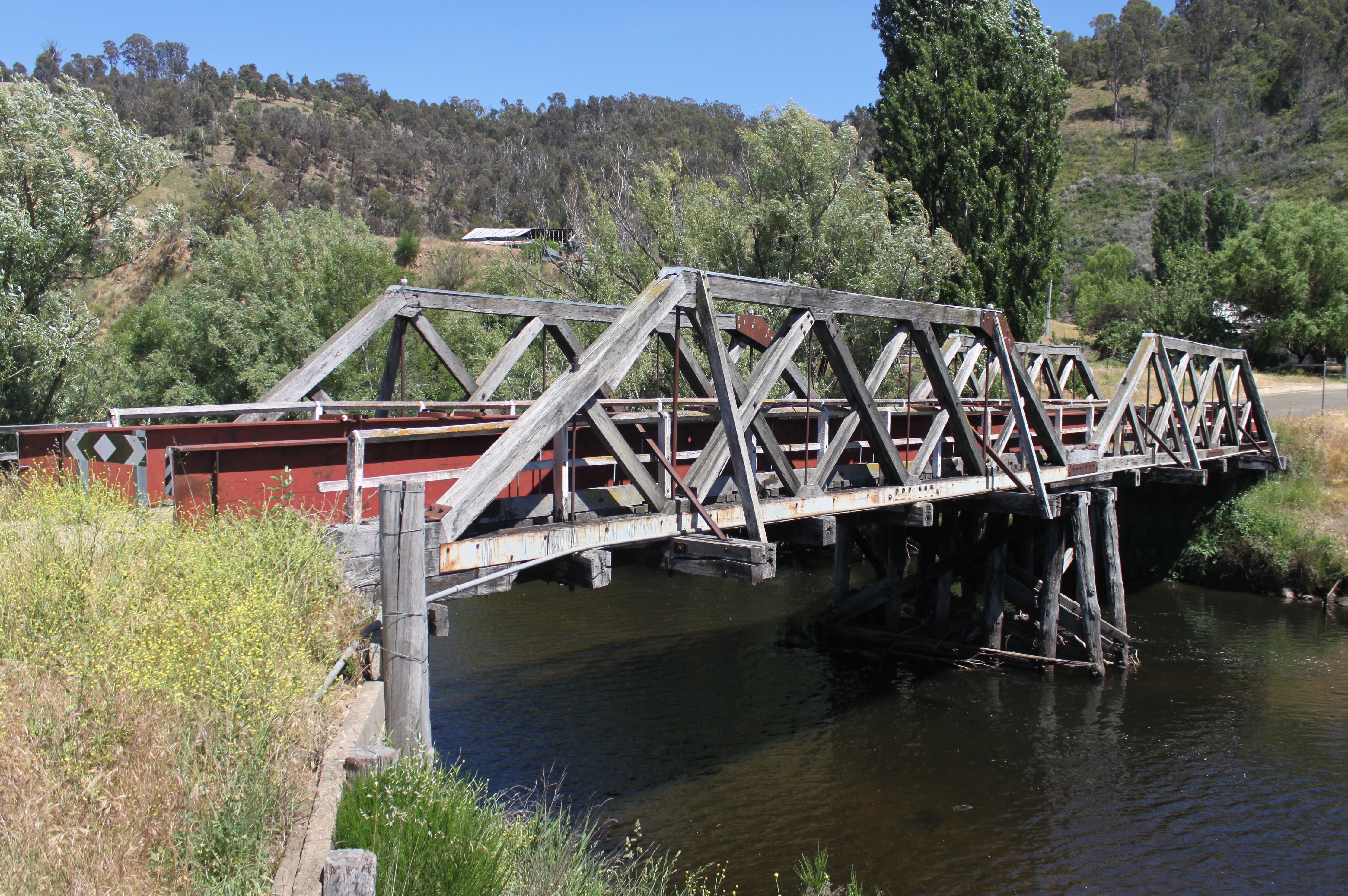
Hinnomunjie road bridge
080105 Charlie Creek-Duck Point (5)

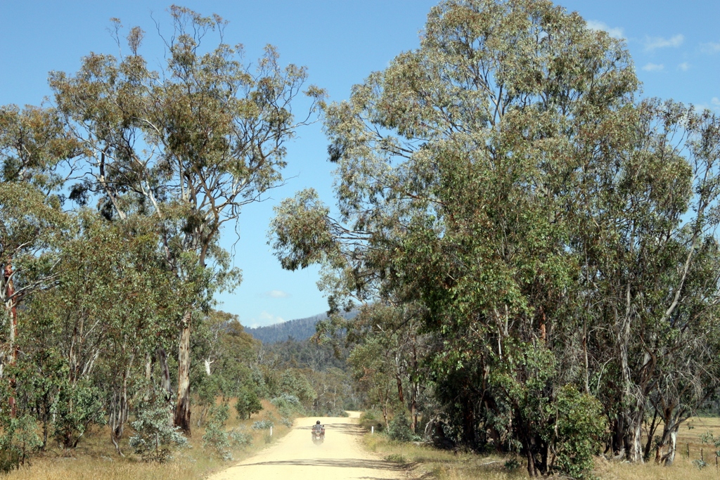
Victorian High Country

D7K_0-81.jpg

Victorian High Country

Victorian High Country

Victorian High Country
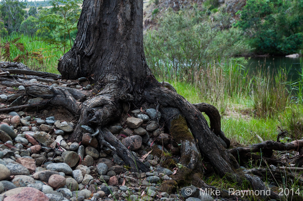
12-28-14 Tree Stump over the rocks near the Mita Mita River
Hinnomunjie Bridge
080105 Charlie Creek-Duck Point (7)
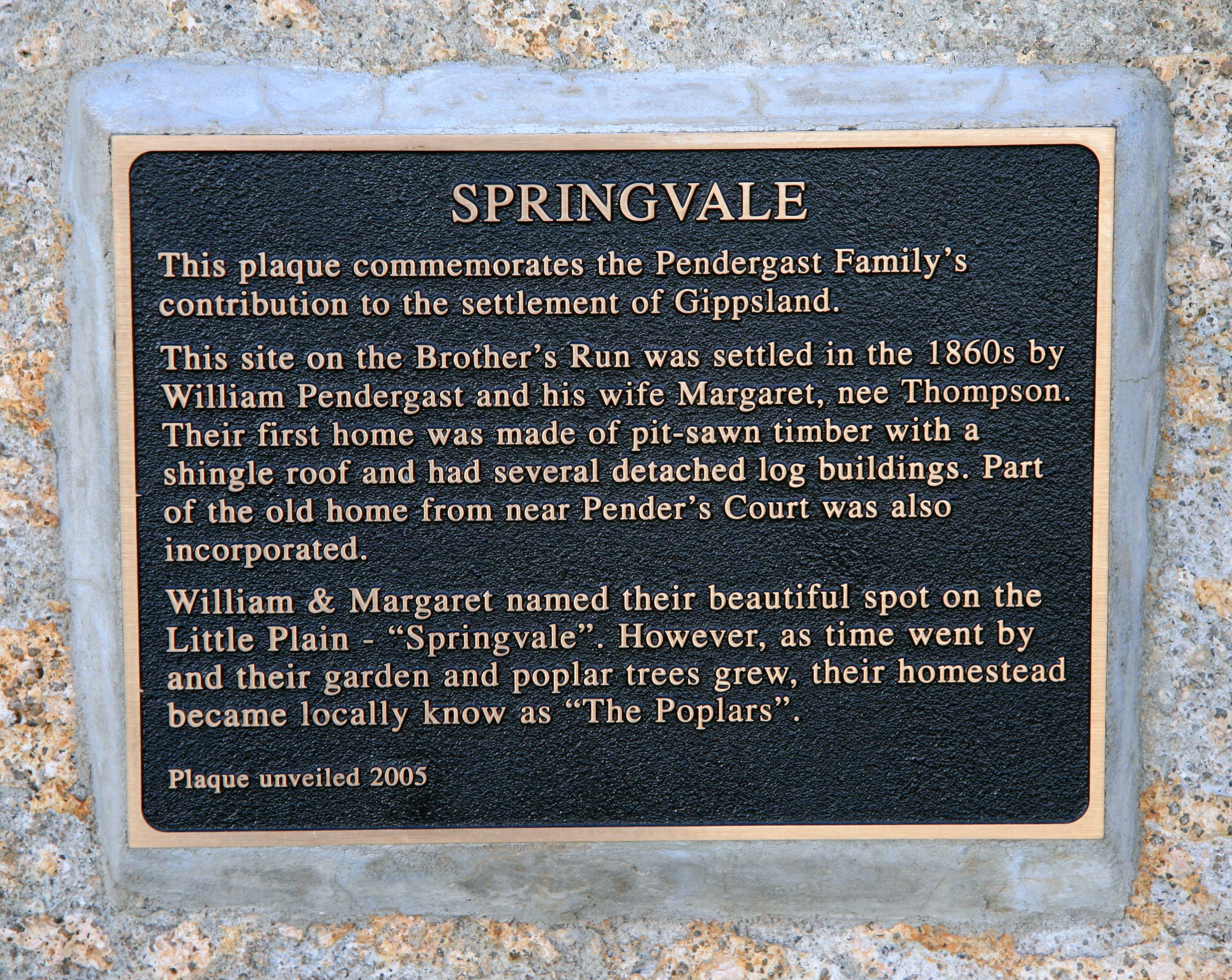
A History of Springvale
Topographic Map of Benambra-Corryong Rd, Benambra VIC, Australia
Find elevation by address:

Places near Benambra-Corryong Rd, Benambra VIC, Australia:
Benambra
Pilot Wilderness
Wulgulmerang East
Mount Hamilton
7480 Mckillops Rd
Wulgulmerang
92 Hunter Ln
Timbarra
1051 Gelantipy Rd
Buchan Valley Log Cabins
5631 Buchan-orbost Rd
36 Main Rd
Buchan
East Gippsland Shire
Pilot Wilderness NSW, Australia
664 Swan Reach Rd
Lakes Entrance
36 Odonnell Dr
67 Capes Rd
9 Ewing Ct
Recent Searches:
- Elevation of Kreuzburger Weg 13, Düsseldorf, Germany
- Elevation of Gateway Blvd SE, Canton, OH, USA
- Elevation of East W.T. Harris Boulevard, E W.T. Harris Blvd, Charlotte, NC, USA
- Elevation of West Sugar Creek, Charlotte, NC, USA
- Elevation of Wayland, NY, USA
- Elevation of Steadfast Ct, Daphne, AL, USA
- Elevation of Lagasgasan, X+CQH, Tiaong, Quezon, Philippines
- Elevation of Rojo Ct, Atascadero, CA, USA
- Elevation of Flagstaff Drive, Flagstaff Dr, North Carolina, USA
- Elevation of Avery Ln, Lakeland, FL, USA