Elevation of Belthangady, Karnataka, India
Location: India > Karnataka > Dakshina Kannada >
Longitude: 75.2725454
Latitude: 12.9886641
Elevation: 108m / 354feet
Barometric Pressure: 100KPa
Elevation Map:
Satellite Map:
Related Photos:

Bandajje Falls
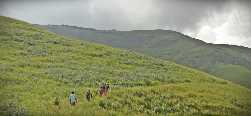
Kudremukh Trek Karnataka

Indian Pita 2

Indian Pita 1

Fishing in the rain!

Vernal Hanging Parrot

Vernal Hanging Parrot
Topographic Map of Belthangady, Karnataka, India
Find elevation by address:

Places near Belthangady, Karnataka, India:
Dharmasthala
Dakshina Kannada
Kottigehara
Kambalakaad Holiday Home
Moodbidri
Mulur
Gurpur Post Office
Karkala
Pelathaje
Creative Pu College Karkala
Mudigere
Maroli
Deenet Services Pvt Limited, Mangalore
Kavoor
Mangaluru
Coffee Tranquil
Sringeri
Mangala Nagar
The Ocean Pearl
Eastern Coastal Plains
Recent Searches:
- Elevation of Groblershoop, South Africa
- Elevation of Power Generation Enterprises | Industrial Diesel Generators, Oak Ave, Canyon Country, CA, USA
- Elevation of Chesaw Rd, Oroville, WA, USA
- Elevation of N, Mt Pleasant, UT, USA
- Elevation of 6 Rue Jules Ferry, Beausoleil, France
- Elevation of Sattva Horizon, 4JC6+G9P, Vinayak Nagar, Kattigenahalli, Bengaluru, Karnataka, India
- Elevation of Great Brook Sports, Gold Star Hwy, Groton, CT, USA
- Elevation of 10 Mountain Laurels Dr, Nashua, NH, USA
- Elevation of 16 Gilboa Ln, Nashua, NH, USA
- Elevation of Laurel Rd, Townsend, TN, USA