Elevation of Belle Fourche River, Dakota Township, SD, USA
Location: United States > South Dakota > Meade County > Dakota Township >
Longitude: -102.30321
Latitude: 44.4347094
Elevation: 618m / 2028feet
Barometric Pressure: 94KPa
Elevation Map:
Satellite Map:
Related Photos:
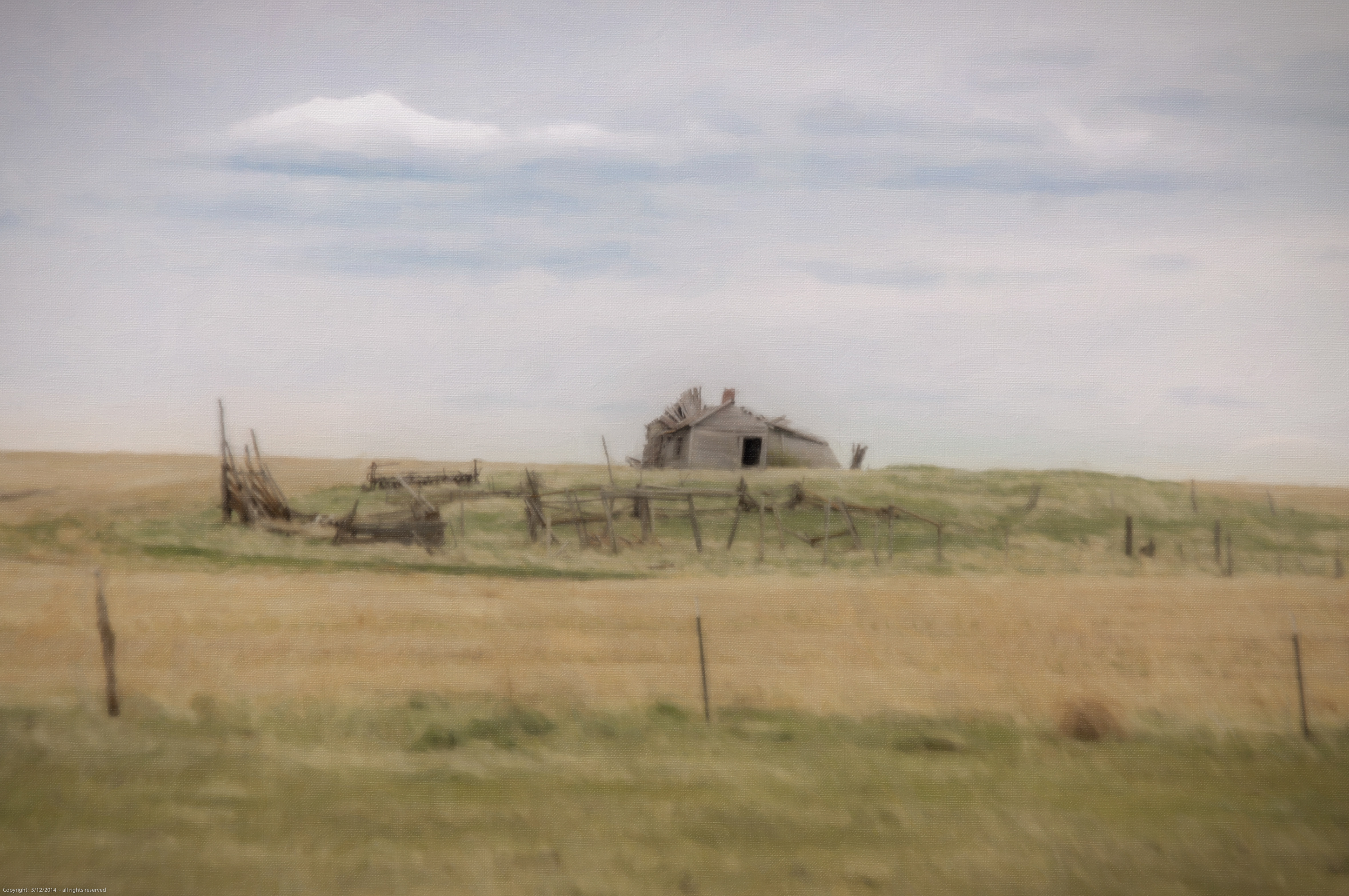
old place close to the sioux spiritual center

Blessed Kateri Tekakwitha.jpg
Topographic Map of Belle Fourche River, Dakota Township, SD, USA
Find elevation by address:

Places near Belle Fourche River, Dakota Township, SD, USA:
Wilsey Rd, Wall, SD, USA
Dakota Township
Wall
Norris St, Wall, SD, USA
Pennington County
Badlands National Park
203rd Street
24460 Heinrich Rd
Castle Butte Township
Scenic
Northwest Jackson
21295 Sd-240
Cactus Flat
Ziebach County
Cedar Pass Lodge
Main St, Interior, SD, USA
Interior
Circle View Guest Ranch
2nd Ave, Kadoka, SD, USA
Kadoka
Recent Searches:
- Elevation of 6 Rue Jules Ferry, Beausoleil, France
- Elevation of Sattva Horizon, 4JC6+G9P, Vinayak Nagar, Kattigenahalli, Bengaluru, Karnataka, India
- Elevation of Great Brook Sports, Gold Star Hwy, Groton, CT, USA
- Elevation of 10 Mountain Laurels Dr, Nashua, NH, USA
- Elevation of 16 Gilboa Ln, Nashua, NH, USA
- Elevation of Laurel Rd, Townsend, TN, USA
- Elevation of 3 Nestling Wood Dr, Long Valley, NJ, USA
- Elevation of Ilungu, Tanzania
- Elevation of Yellow Springs Road, Yellow Springs Rd, Chester Springs, PA, USA
- Elevation of Rēzekne Municipality, Latvia