Elevation of Bell Ln, Venice, LA, USA
Location: United States > Louisiana > Plaquemines Parish > > Boothville-venice > Venice >
Longitude: -89.367938
Latitude: 29.2929064
Elevation: 0m / 0feet
Barometric Pressure: 101KPa
Elevation Map:
Satellite Map:
Related Photos:

Barn Owl

Black-throated Green Warbler (February) - Louisiana
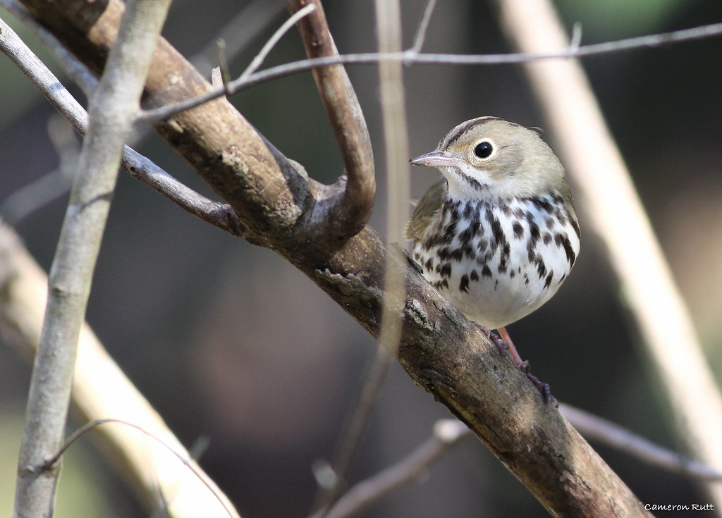
Ovenbird (February) - Louisiana
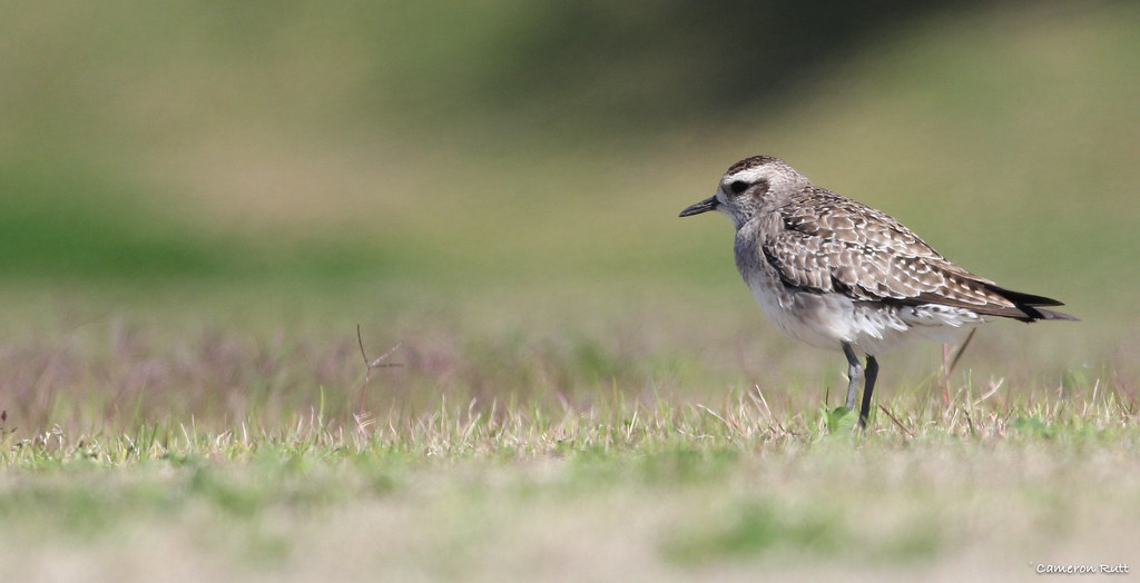
American Golden-Plover (February) - Louisiana

Iceland Gull

I'm Outta Here
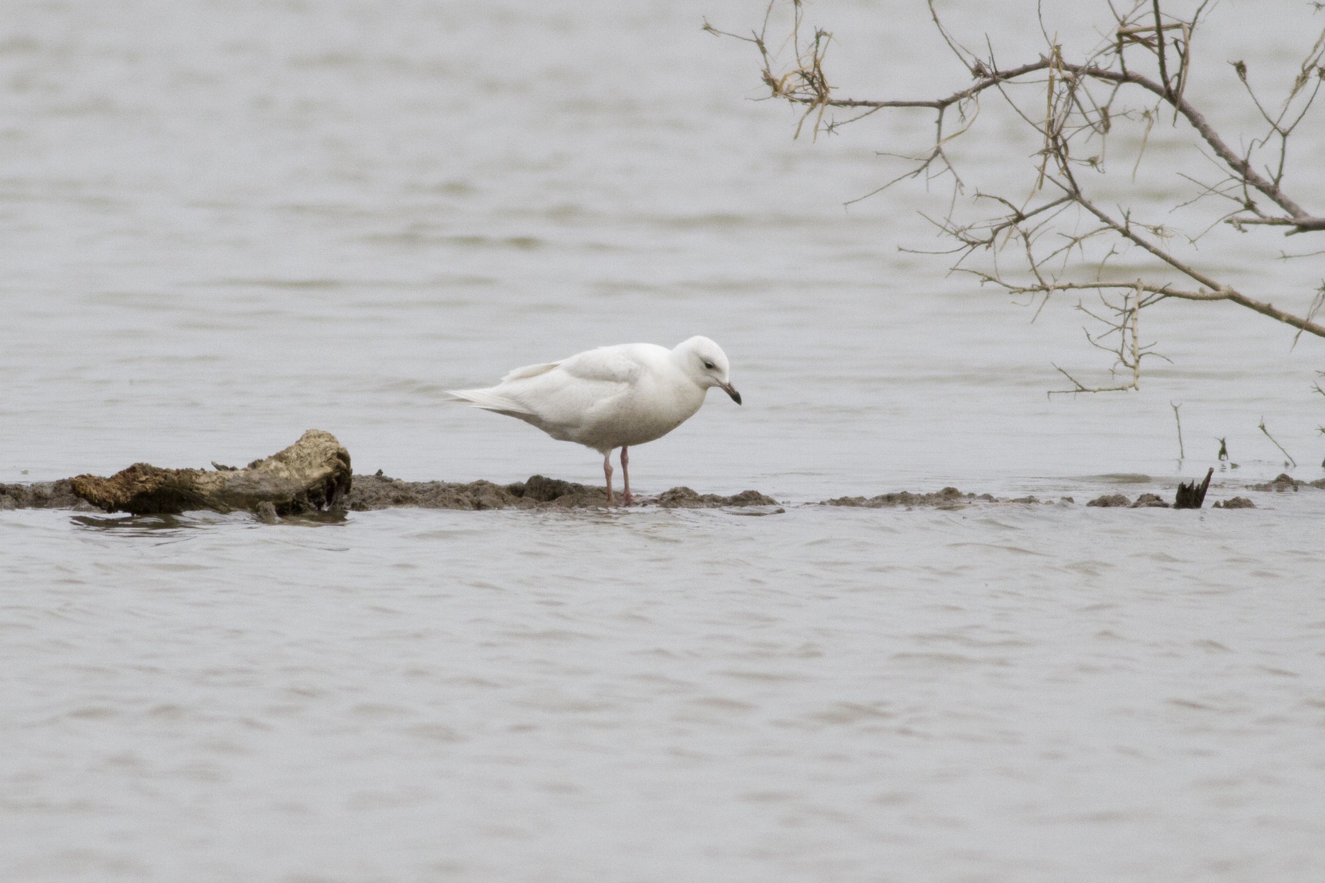
Iceland Gull

View From The Top

Silent Reminder

Warehouse With A View
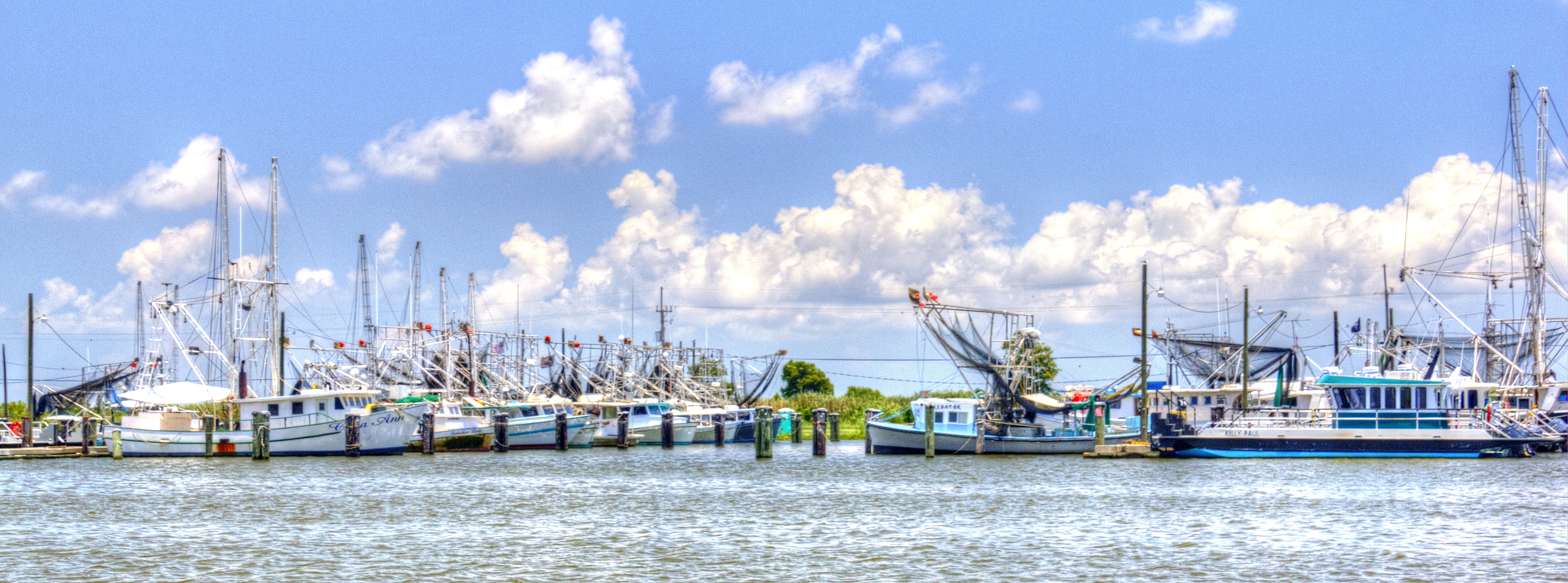
Shrimp Boats Venice Louisiana
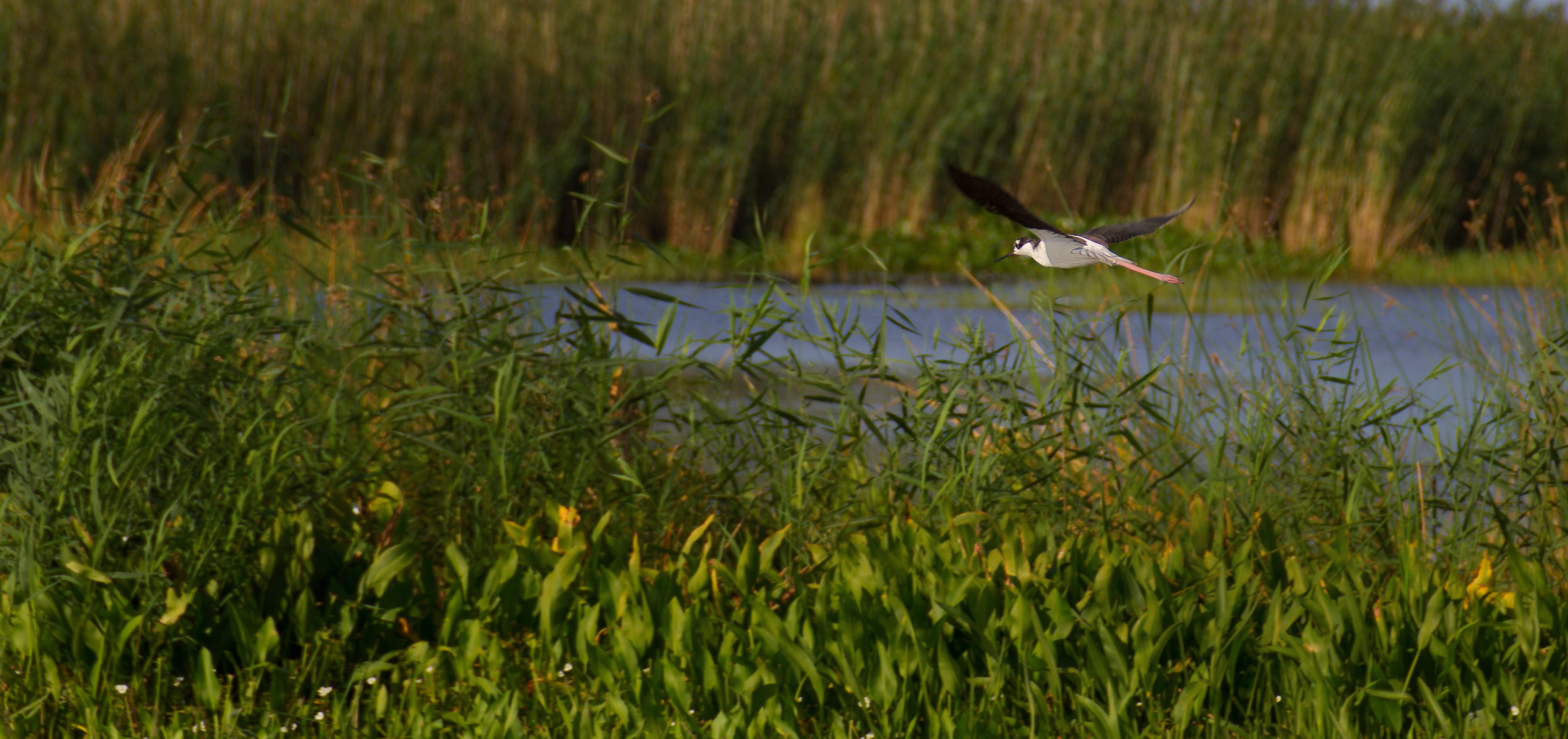
Black-necked stilt (Himantopus mexicanus)

Our boat for the weekend

Location, Location, Location

IMG_9268 (2)

IMG_6563 Crevasse River Restoration Birdfoot

a IMG_9297 algal bloom algal mat streamers

Southwest Pass September 7 2012

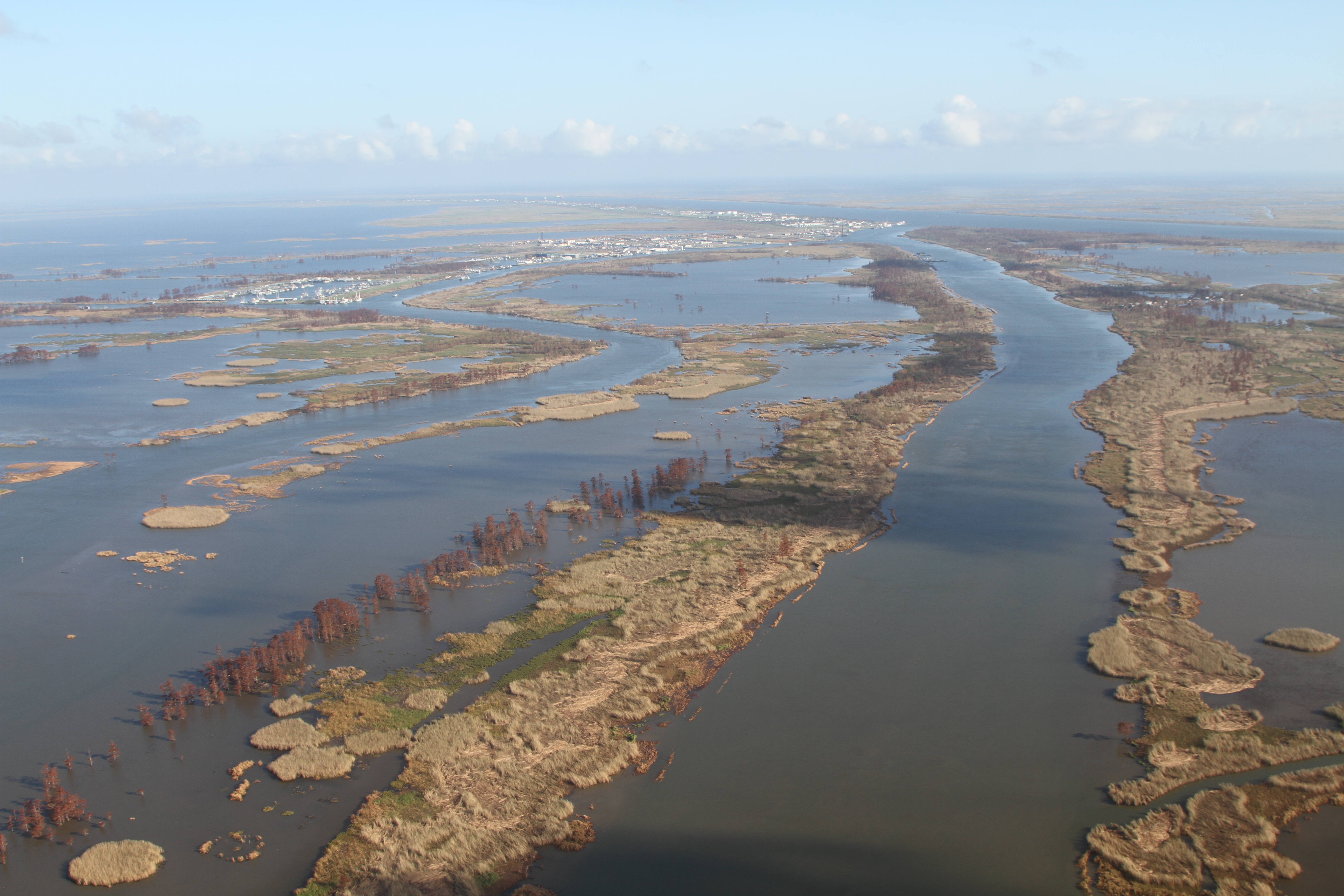
WETLAND CREATION IN WEST BAY, LOUISIANA

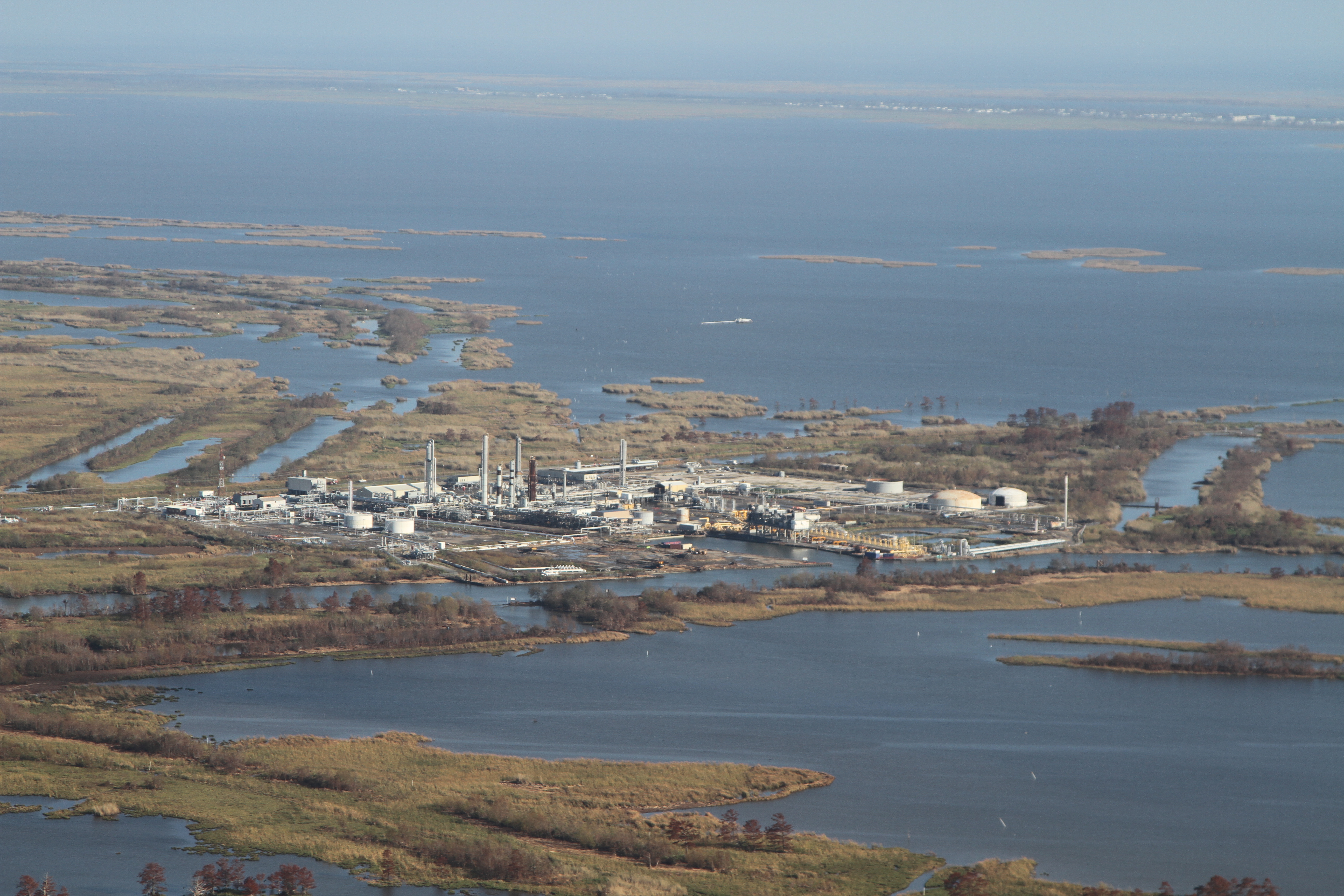
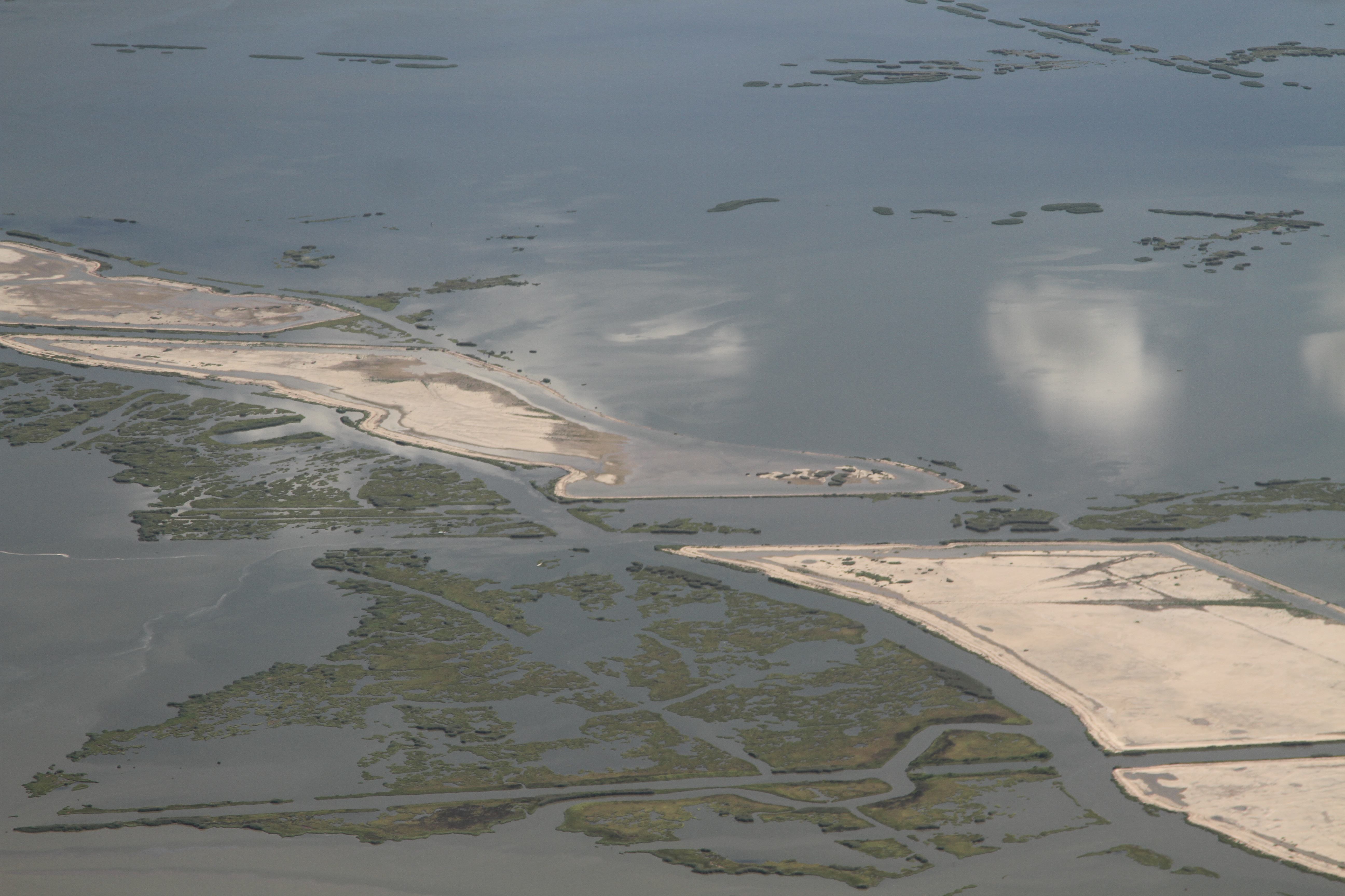
West Bay September 7 2012

West Bay October 7 2013

Image acquired by Sentinel-2A on 2019 February 17 at 16:45 UTC. Centre coordinates: 29.31 N, 89.53 W.
West Bay September 7 2012
West Bay September 7 2012

West Bay September 7 2012

IMG_6545 Delta Splay River restoration, birdfoot, with SAV and hemi marsh

West Bay September 7 2012

West Bay begin, October 7 2013

West Bay September 7 2012
IMG_8405 grand liard restoration

Fort St Philip high river
Topographic Map of Bell Ln, Venice, LA, USA
Find elevation by address:

Places near Bell Ln, Venice, LA, USA:
Venice
LA-23, Buras, LA, USA
Boothville-venice
Sports Marina Rd, Venice, LA, USA
Boothville River Rd, Buras, LA, USA
Plaquemines Parish
9, LA, USA
Hwy 11, Buras, LA, USA
111 W Cran Dr
8, LA, USA
Hwy 11, Buras, LA, USA
1, LA, USA
Empire
Saltgrass Outdoors
7, LA, USA
Hwy 11, Port Sulphur, LA, USA
Caroline Ave, Port Sulphur, LA, USA
329 Milan Dr
329 Milan Dr
Port Sulphur
Recent Searches:
- Elevation of 6 Rue Jules Ferry, Beausoleil, France
- Elevation of Sattva Horizon, 4JC6+G9P, Vinayak Nagar, Kattigenahalli, Bengaluru, Karnataka, India
- Elevation of Great Brook Sports, Gold Star Hwy, Groton, CT, USA
- Elevation of 10 Mountain Laurels Dr, Nashua, NH, USA
- Elevation of 16 Gilboa Ln, Nashua, NH, USA
- Elevation of Laurel Rd, Townsend, TN, USA
- Elevation of 3 Nestling Wood Dr, Long Valley, NJ, USA
- Elevation of Ilungu, Tanzania
- Elevation of Yellow Springs Road, Yellow Springs Rd, Chester Springs, PA, USA
- Elevation of Rēzekne Municipality, Latvia