Elevation of Belfast Rd, Argyle, IA, USA
Location: United States > Iowa > Lee County > Des Moines > Argyle >
Longitude: -91.570762
Latitude: 40.465551
Elevation: 158m / 518feet
Barometric Pressure: 99KPa
Elevation Map:
Satellite Map:
Related Photos:
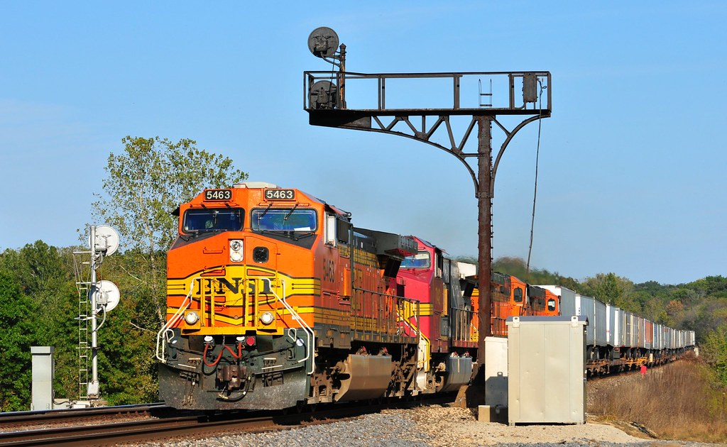
Alternative Argyle
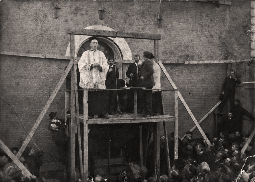
Hanging of Frank Clark
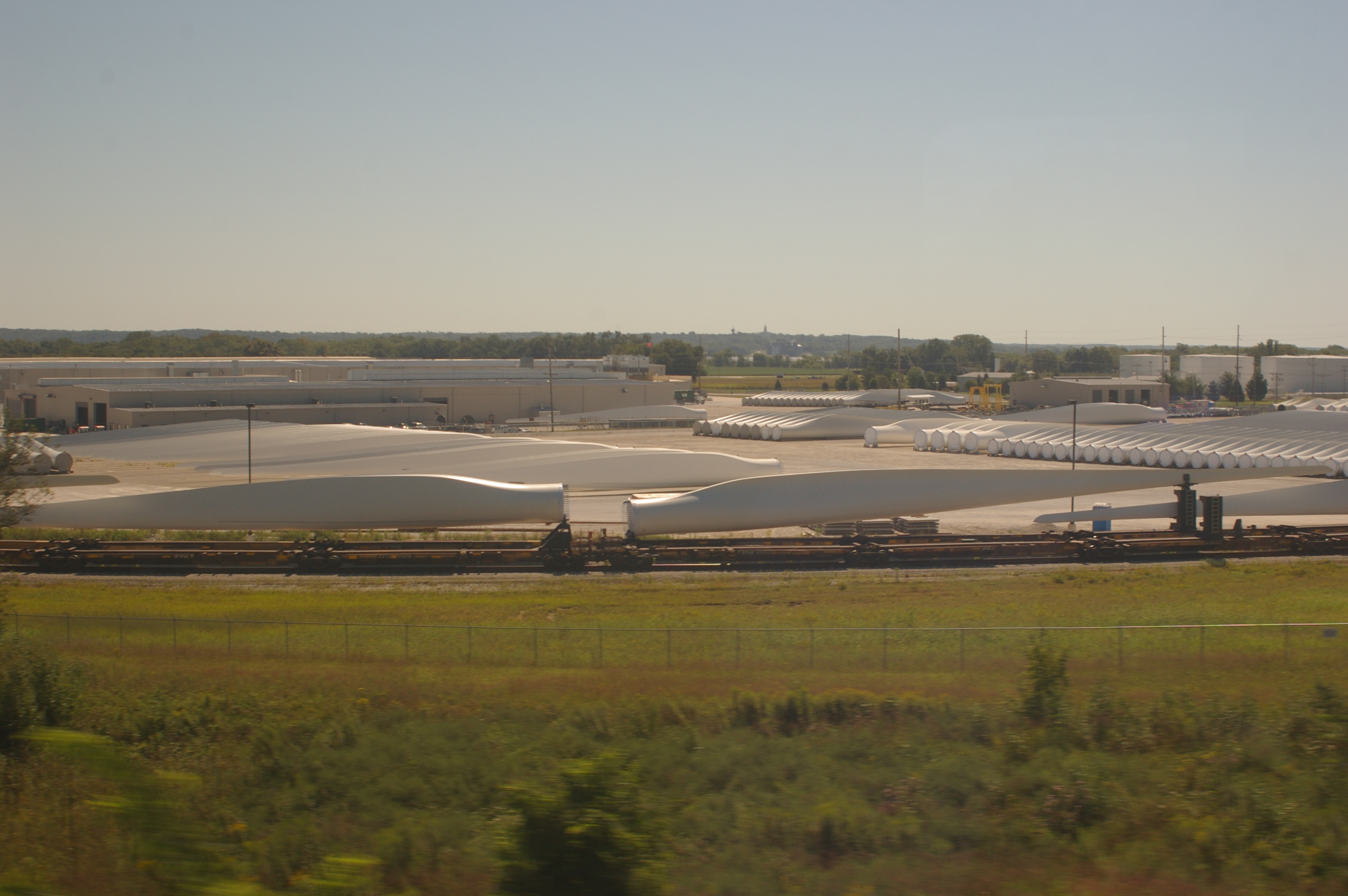
Windmill Blades on Flatcars
5000.14
7-13 clouds
#flatland #riverroadtrip15
before breakfast

goin' fishin'

Iliniwek Village State Historic Site, Clark County (Mo.), 22 April 2015

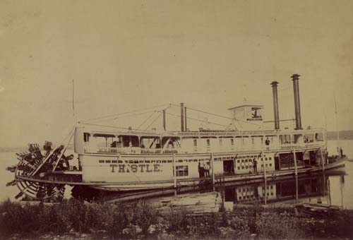
Keokuk National
Santa Fe: Revere, Misssouri
Topographic Map of Belfast Rd, Argyle, IA, USA
Find elevation by address:

Places near Belfast Rd, Argyle, IA, USA:
Des Moines Township
Des Moines
Argyle
Wayland
Sweet Home Township
Jackson
Revere
Argyle Rd, Keokuk, IA, USA
th St, Keokuk, IA, USA
Montrose
th St, Keokuk, IA, USA
Kahoka
State Hwy H, Canton, MO, USA
28 Hawkeye Village
Water Street
Main St, Keokuk, IA, USA
st Ave, Montrose, IA, USA
Montrose
Main St, Montrose, IA, USA
Jackson Township
Recent Searches:
- Elevation of Corso Fratelli Cairoli, 35, Macerata MC, Italy
- Elevation of Tallevast Rd, Sarasota, FL, USA
- Elevation of 4th St E, Sonoma, CA, USA
- Elevation of Black Hollow Rd, Pennsdale, PA, USA
- Elevation of Oakland Ave, Williamsport, PA, USA
- Elevation of Pedrógão Grande, Portugal
- Elevation of Klee Dr, Martinsburg, WV, USA
- Elevation of Via Roma, Pieranica CR, Italy
- Elevation of Tavkvetili Mountain, Georgia
- Elevation of Hartfords Bluff Cir, Mt Pleasant, SC, USA