Elevation of Belfast, Belfast, UK
Location: United Kingdom > Northern Ireland > Belfast >
Longitude: -5.9301199
Latitude: 54.5972850
Elevation: 13m / 43feet
Barometric Pressure: 101KPa
Elevation Map:
Satellite Map:
Related Photos:

Coach Road

View of Strangford Lough
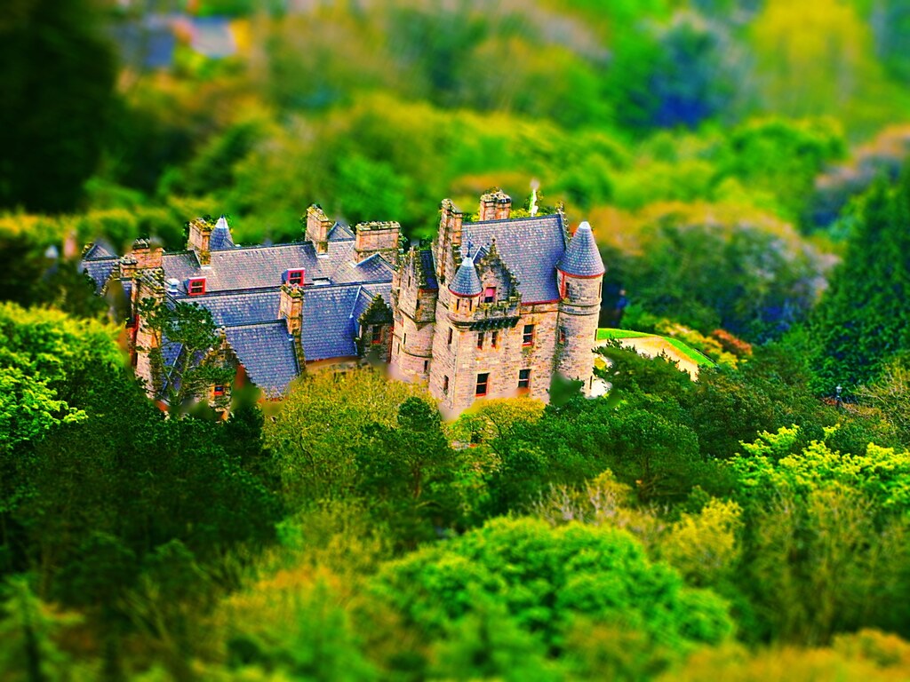
Belfast Castle
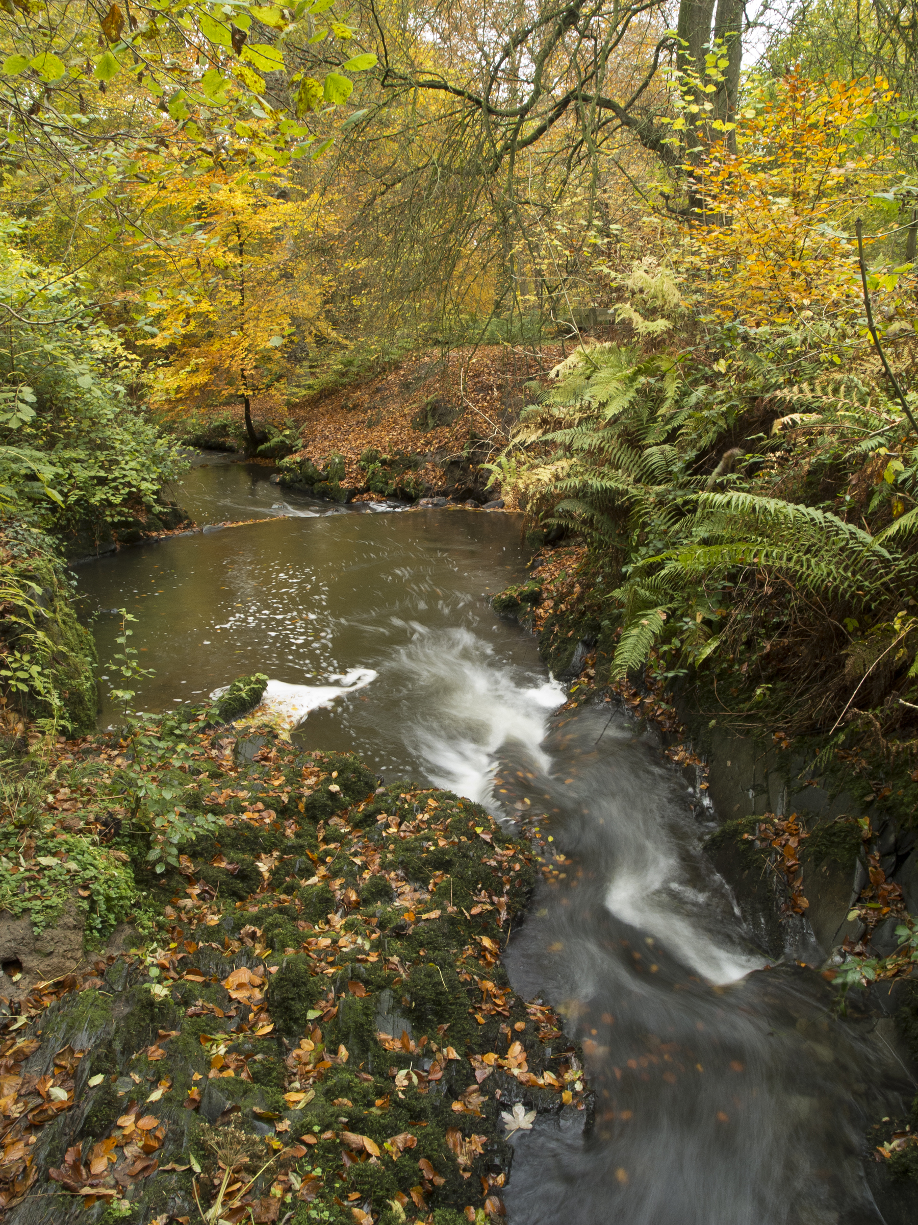
Autumn Woodland Stream 1
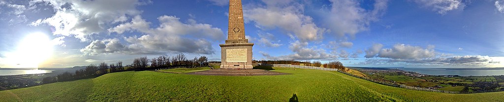
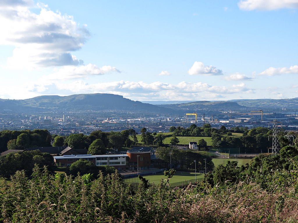
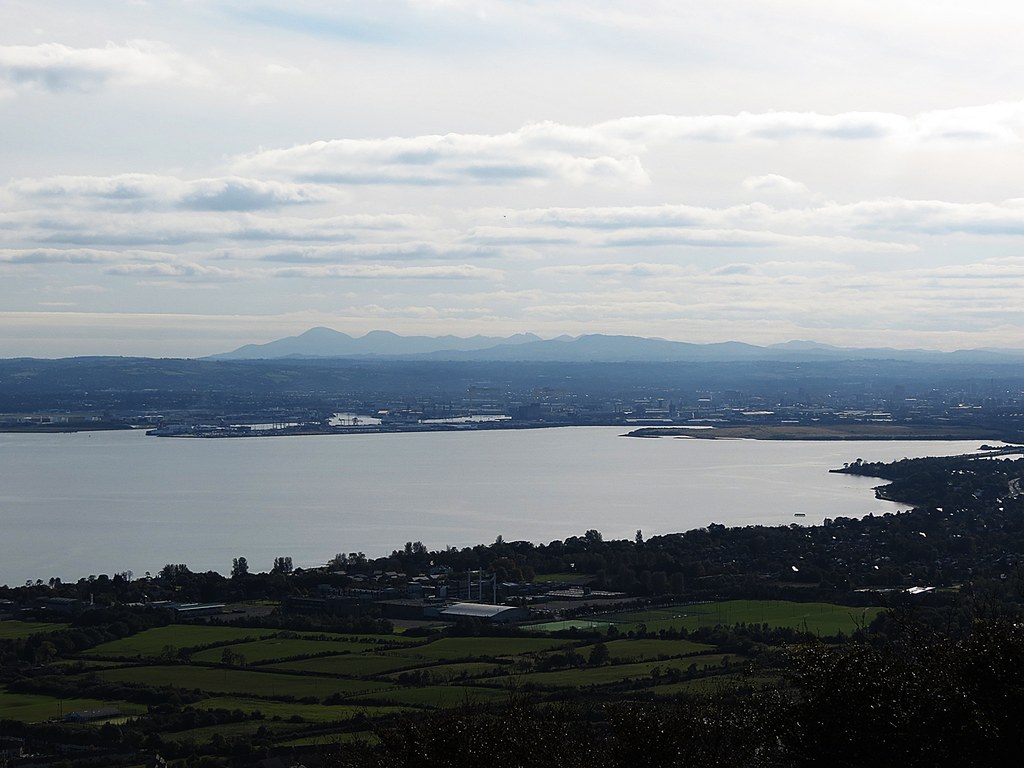
Knockagh War Memorial and panoramic view over Belfast Lough, N.Ireland

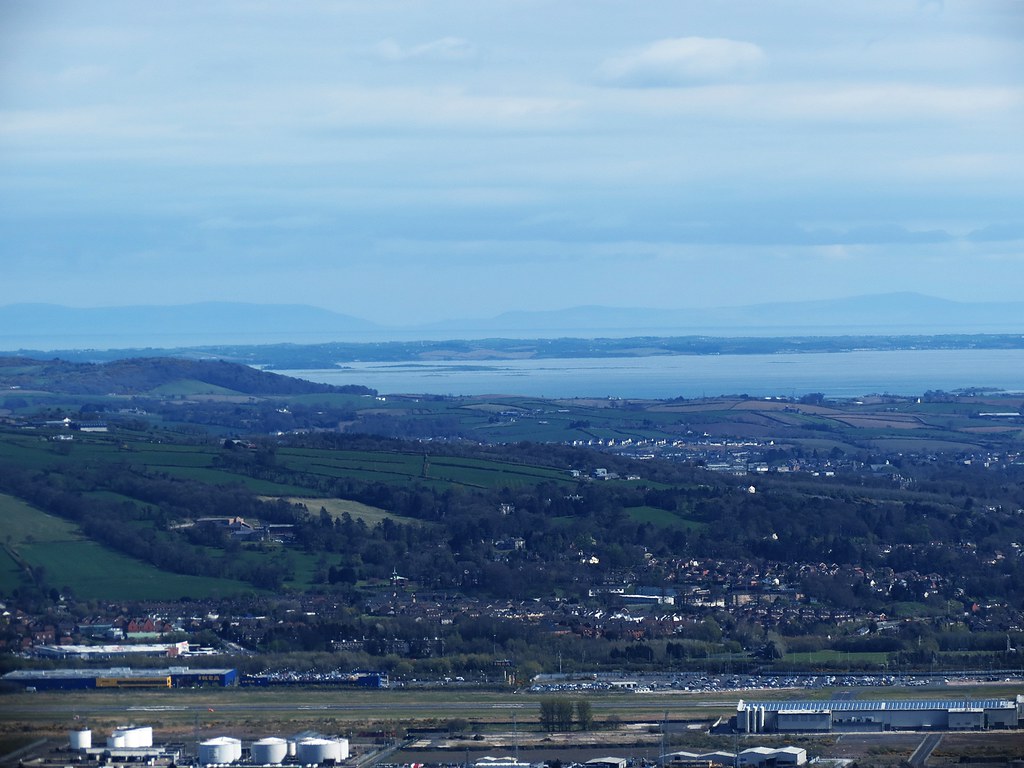
View of Strangford Lough from Scrabo

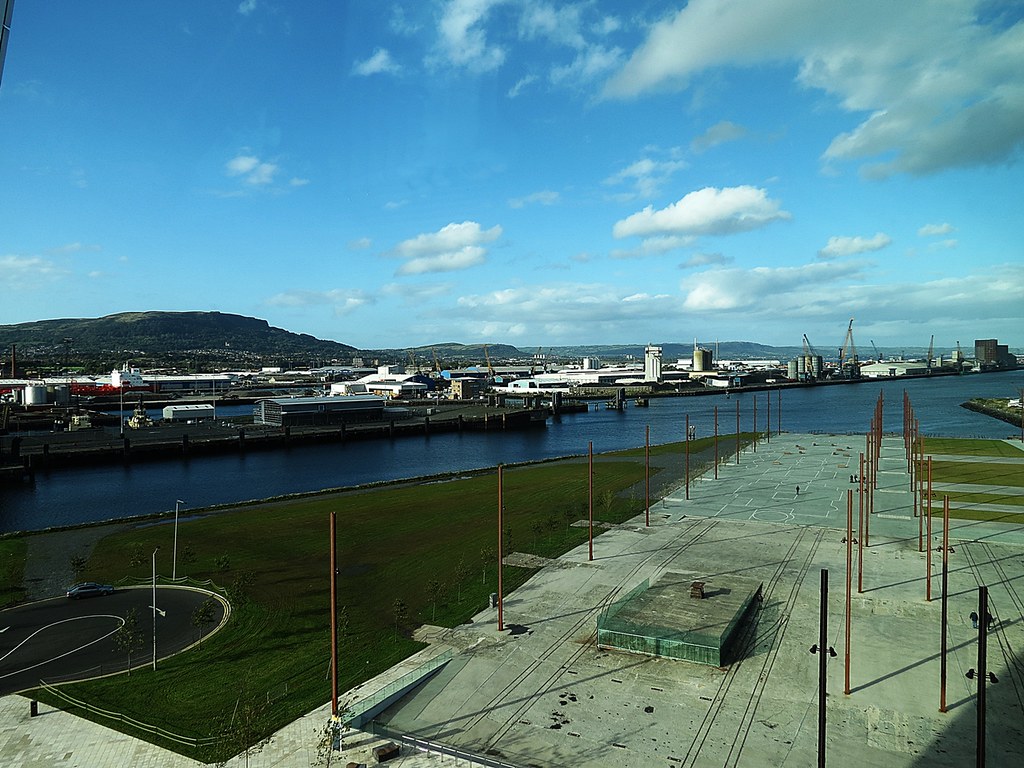
Titanic Belfast
Perfect Day

'Rest and be Thankful'
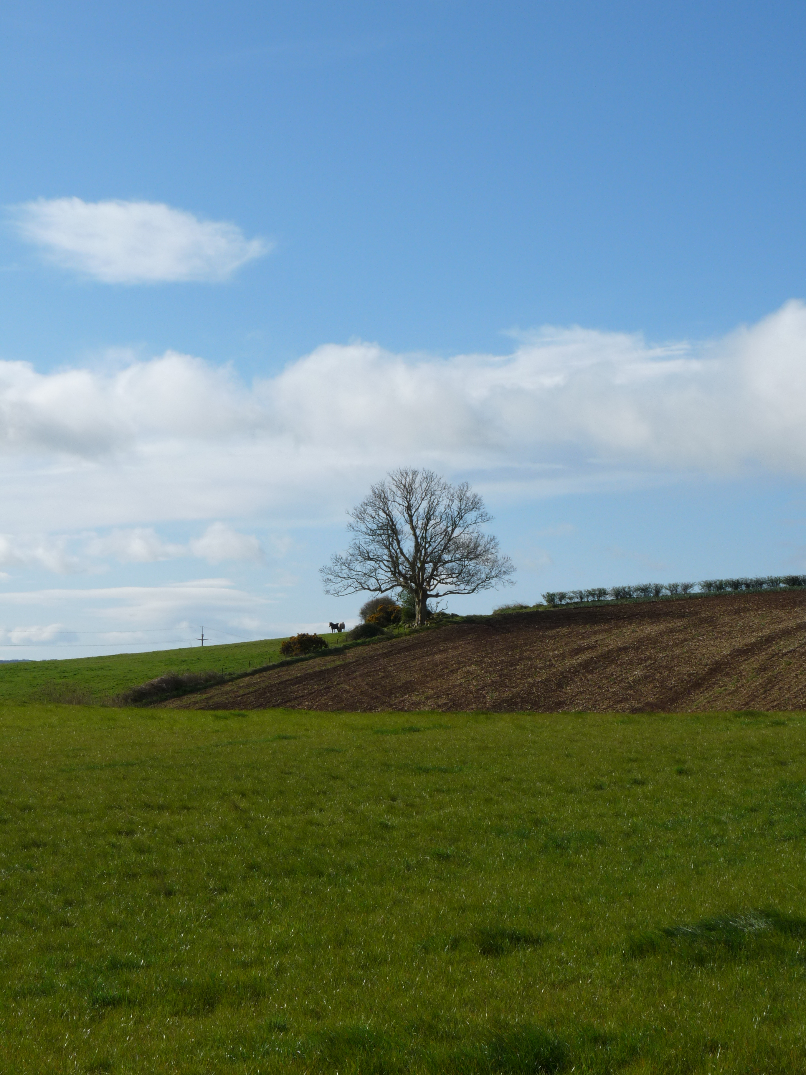
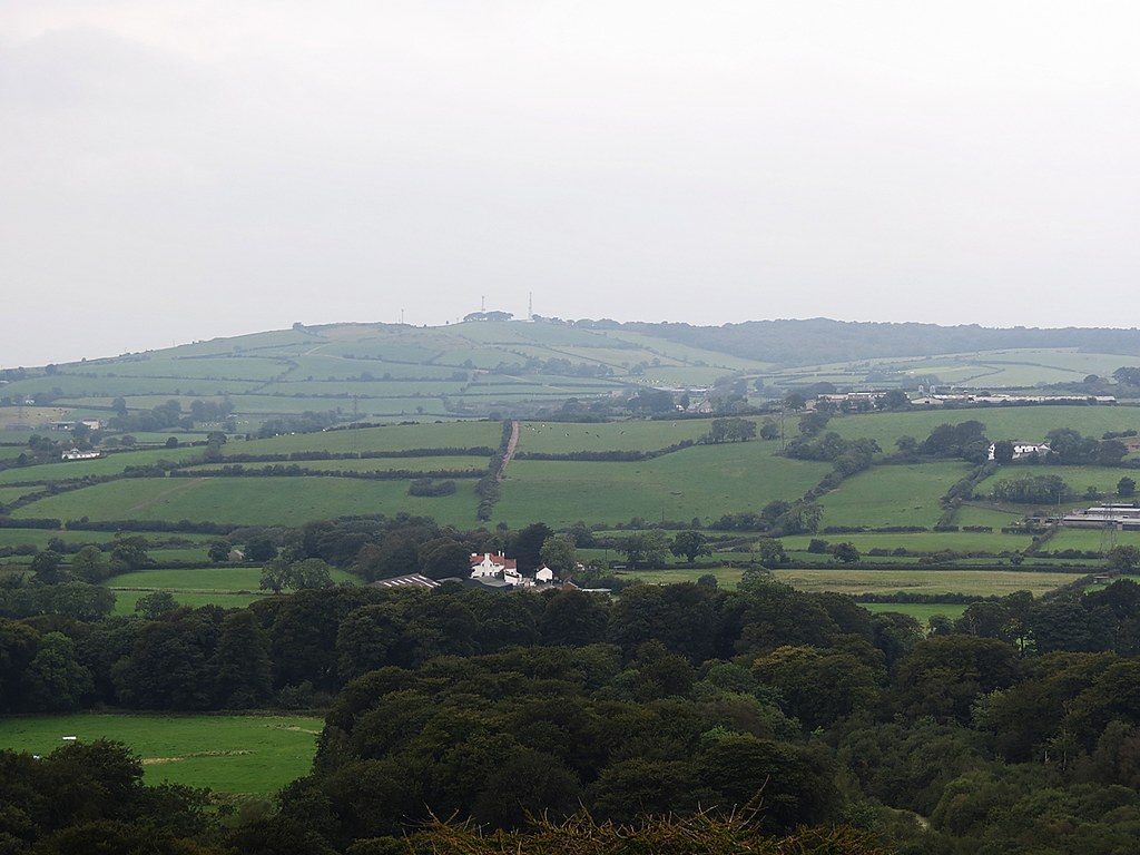
Lisnabreeny, Castlereagh
Titanic Belfast
Titanic Belfast
Back garden view

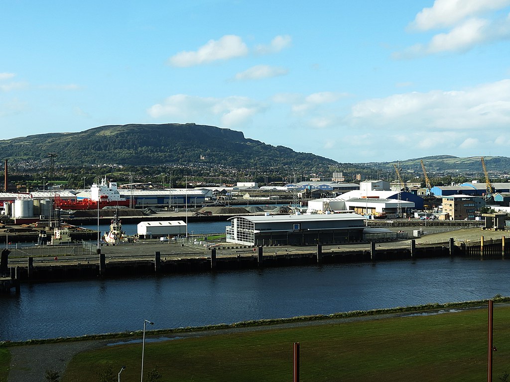
Cave Hill Country Park

Cave Hill Country Park

Cave Hill Country Park
Knockagh Monument, Greenisland
Cave Hill Country Park

Cave Hill Country Park
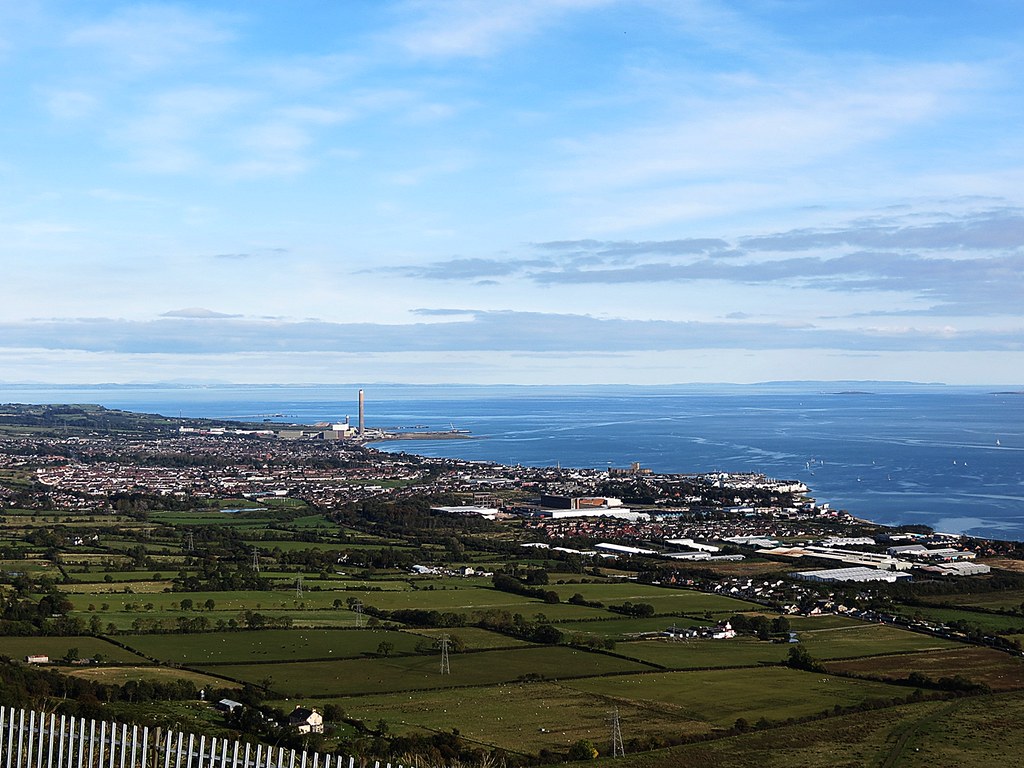
Knockagh Monument, Greenisland
Helen's Tower, Clandeboye Estate, Bangor
Topographic Map of Belfast, Belfast, UK
Find elevation by address:

Places in Belfast, Belfast, UK:
Places near Belfast, Belfast, UK:
Belfast
Winetavern Street
Great Victoria Street
Bt1 3gh
Bt1 3gg
Belfast Lanyon Place
51 Lisburn Rd
Bt7 1nn
2 Queens Quay
Bt9 7ab
Bt7 3bu
Windsor Park
Bt3 9dt
24 Galwally Ave
Bt6 9lz
Castlereagh
9 Glenholm Ave
24 Beechill Park W
Bt8 7ur
56 Greer Park Ave
Recent Searches:
- Elevation of Corso Fratelli Cairoli, 35, Macerata MC, Italy
- Elevation of Tallevast Rd, Sarasota, FL, USA
- Elevation of 4th St E, Sonoma, CA, USA
- Elevation of Black Hollow Rd, Pennsdale, PA, USA
- Elevation of Oakland Ave, Williamsport, PA, USA
- Elevation of Pedrógão Grande, Portugal
- Elevation of Klee Dr, Martinsburg, WV, USA
- Elevation of Via Roma, Pieranica CR, Italy
- Elevation of Tavkvetili Mountain, Georgia
- Elevation of Hartfords Bluff Cir, Mt Pleasant, SC, USA