Elevation of Beetree Farm Trail NE, Leland, NC, USA
Location: United States > North Carolina > Brunswick County > Northwest > Leland >
Longitude: -78.204328
Latitude: 34.161812
Elevation: 19m / 62feet
Barometric Pressure: 101KPa
Elevation Map:
Satellite Map:
Related Photos:
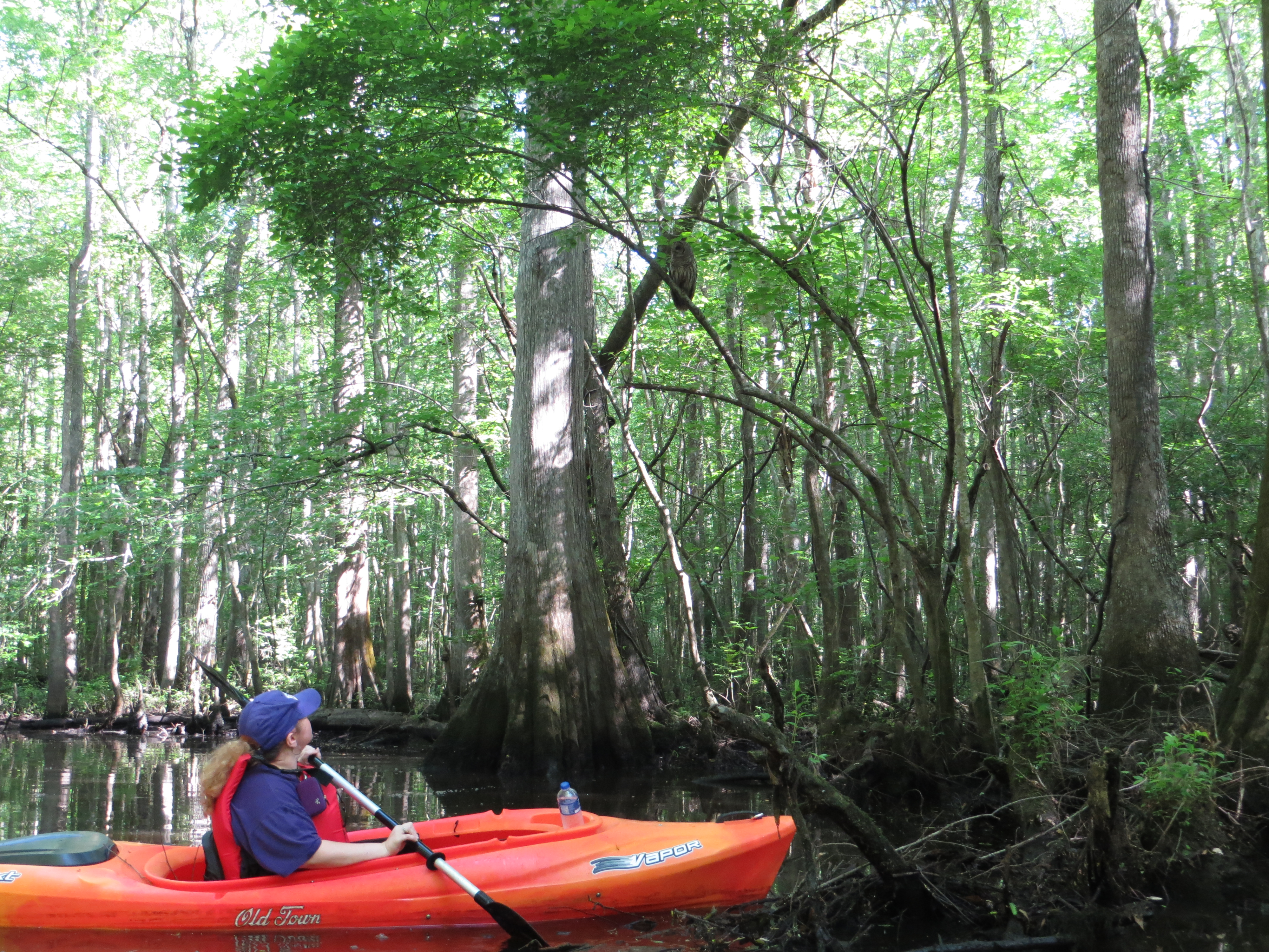
Wildlife Viewing

Carolina Grass of Parnassus

Carolina Grass of Parnassus
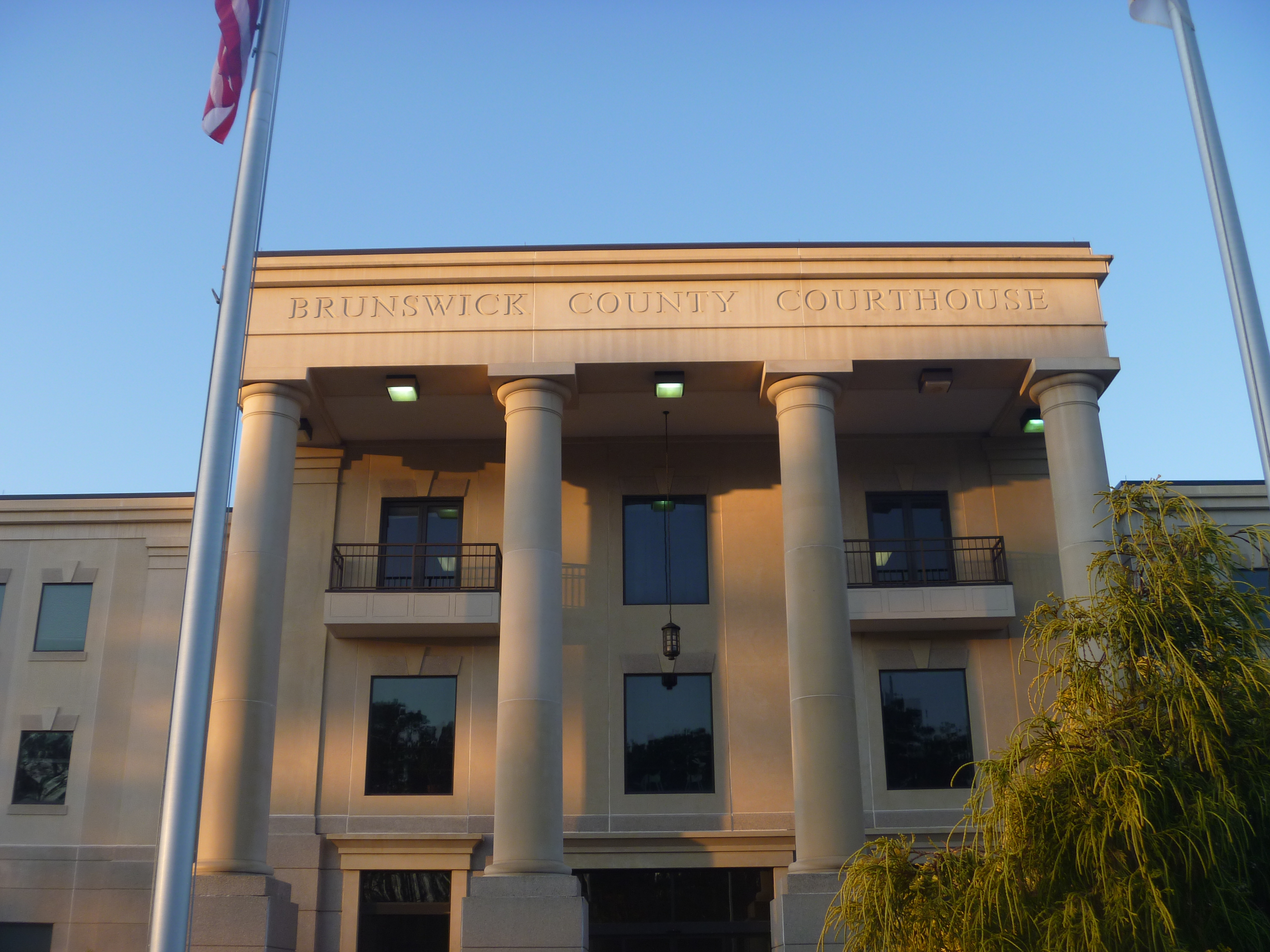
Front View Of The Current Brunswick County Courthouse

Front View Of The Current Brunswick County Courthouse

Top Side View Of The Current Brunswick County Courthouse

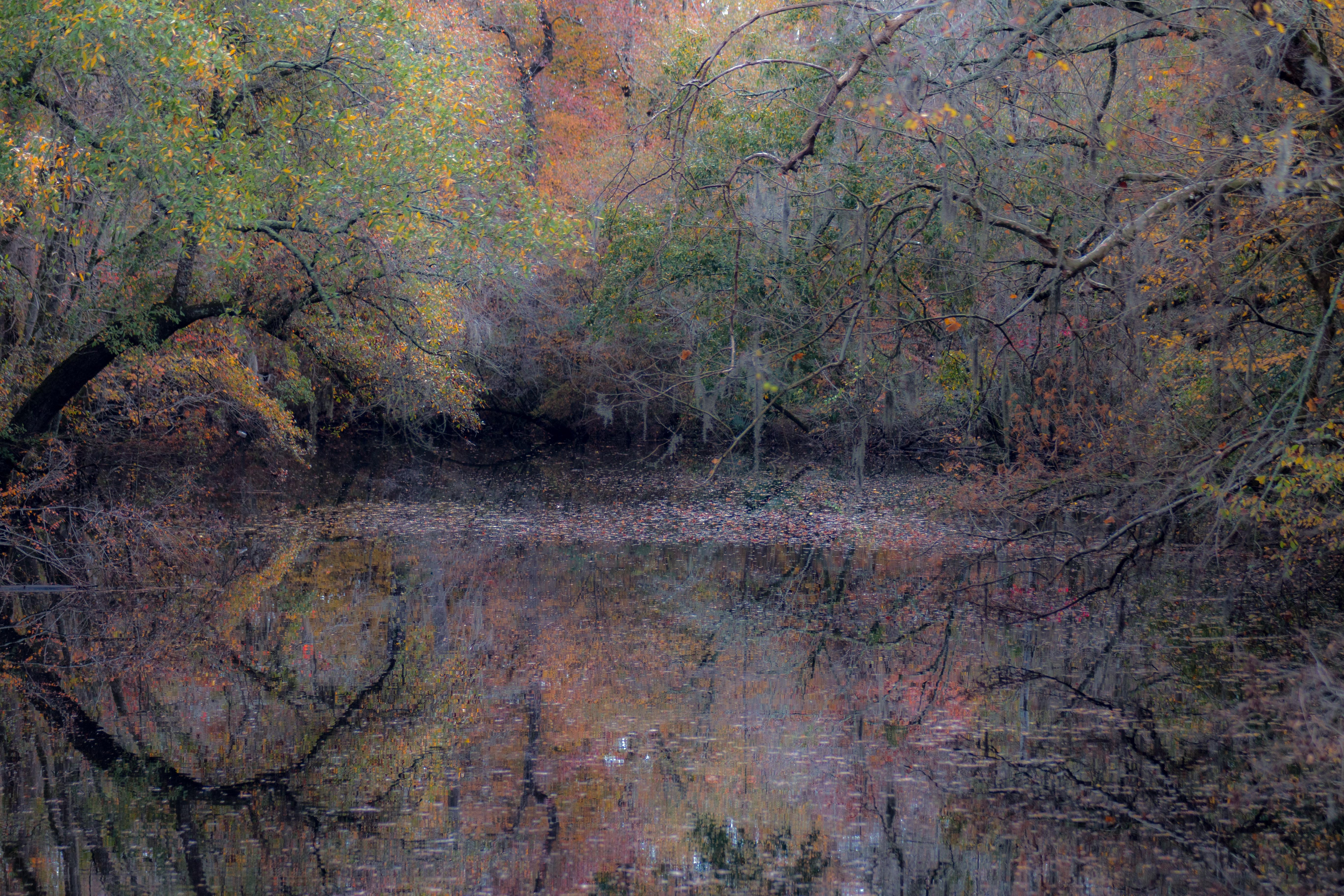
Rice Creek, near Winnabow, Brunswick County, North Carolina 3

Serenity at Rock Creek Barn
Town Creek, Brunswick County, NC

Across the Pasture3 - Bolivia, NC
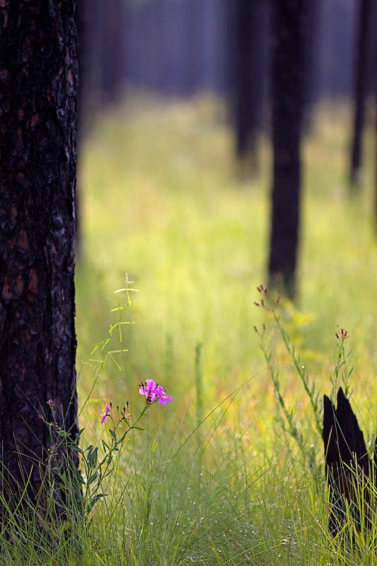
Meadow Beauty(s)

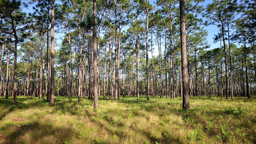
Green Swamp
2011-12-20 15.06.32.jpg
2011-12-20 15.06.32.jpg

Bachman's Sparrow - North Carolina

Bachman's Sparrow - North Carolina

Town Creek Yacht Club

More Liatris
Savannah Smiles
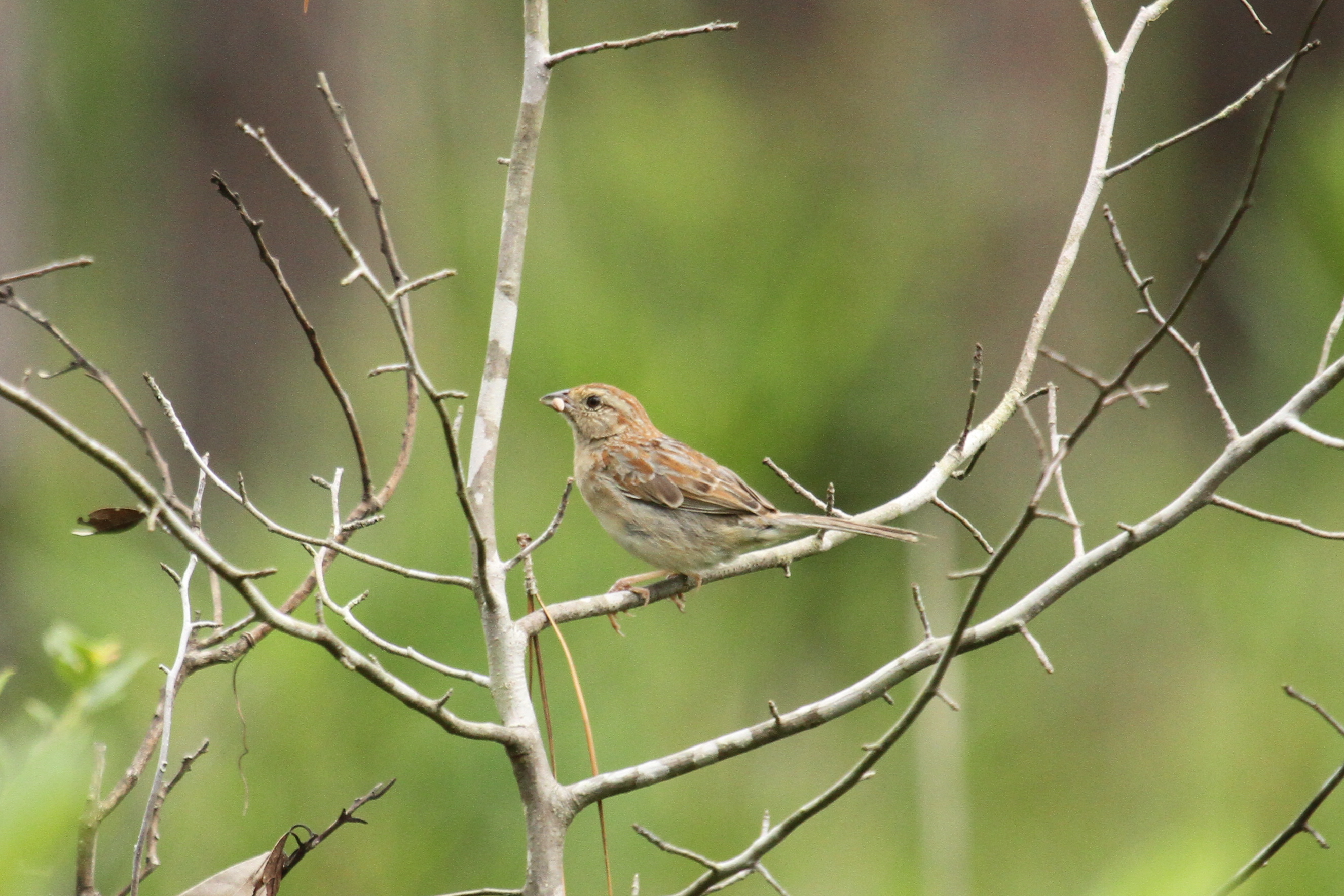
Bachman's Sparrow - North Carolina

Green swamp savanna

Green swamp pinewoods

DSC08037 Green Swamp NC
DSC08180 Green Swamp NC
DSC08117 Green Swamp NC
Green Swamp Panorama 3
Green Swamp Panorama 3 HDR
Topographic Map of Beetree Farm Trail NE, Leland, NC, USA
Find elevation by address:

Places near Beetree Farm Trail NE, Leland, NC, USA:
852 Town Creek Rd Ne
359 Bell Swamp Rd Ne
Maco Rd NE, Leland, NC, USA
5000 Delco Prosper Rd
6835 Pinecliff Dr Ne
8029 Footpath Rd
9052 Gardens Grove Rd
Zion Church Rd NE, Leland, NC, USA
Winnabow
Ocean Hwy E, Leland, NC, USA
11 Stoney Creek Ln
446 Snowfield Rd Se
7387 Brickstone Ct
Stoney Creek Lane South East
Ruby Stone Court
7404 Rhinestone Ct
Combine Lane
7393 Crystal Stone Ct
7411 Hazelstone Ln
596 Snowfield Rd Se
Recent Searches:
- Elevation of W Granada St, Tampa, FL, USA
- Elevation of Pykes Down, Ivybridge PL21 0BY, UK
- Elevation of Jalan Senandin, Lutong, Miri, Sarawak, Malaysia
- Elevation of Bilohirs'k
- Elevation of 30 Oak Lawn Dr, Barkhamsted, CT, USA
- Elevation of Luther Road, Luther Rd, Auburn, CA, USA
- Elevation of Unnamed Road, Respublika Severnaya Osetiya — Alaniya, Russia
- Elevation of Verkhny Fiagdon, North Ossetia–Alania Republic, Russia
- Elevation of F. Viola Hiway, San Rafael, Bulacan, Philippines
- Elevation of Herbage Dr, Gulfport, MS, USA