Elevation of Beech Tree Trail, Kitty Hawk, NC, USA
Location: United States > North Carolina > Dare County > Atlantic > Kitty Hawk >
Longitude: -75.736581
Latitude: 36.1213172
Elevation: 2m / 7feet
Barometric Pressure: 101KPa
Elevation Map:
Satellite Map:
Related Photos:

Sunset II

Kitty Hawk pier Sunrise

Kitty Hawk Pier Sunrise-Pano

Storm is Coming

Divided Highway

Have a Nice Weekend

Kill Devil Hills Sunrise

Too quiet

By the Sea

Star Trails over Kitty Hawk Pier

Outer Banks morning
Gravitational sand

Rocking Chair

Megan at Sunset (reprise)

Sunset over Sunset

Iron + Oxygen + Water + Salt
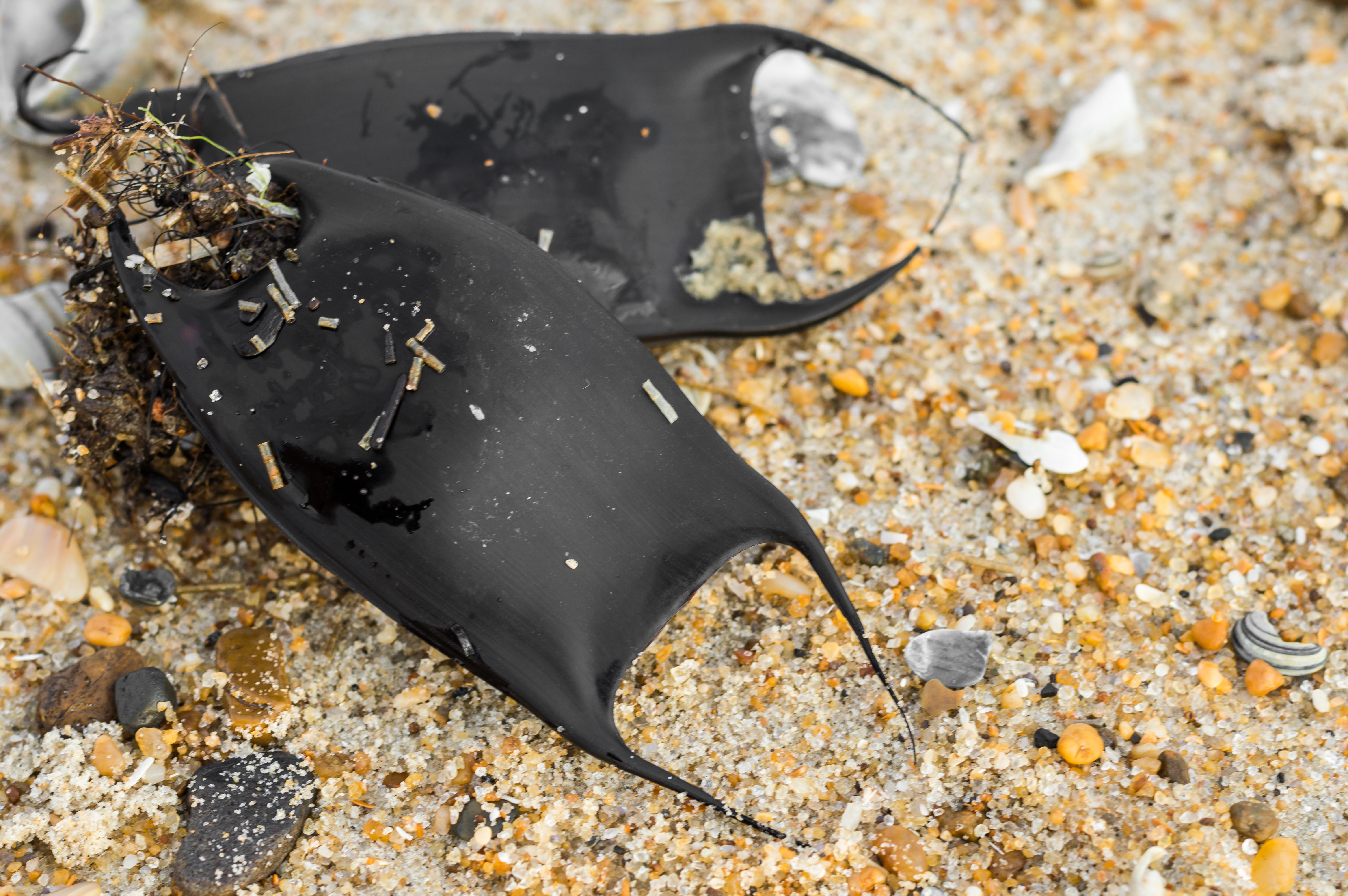
Mermaid's purse

Pink fuzzybean

Friendly Face

Sunset over Currituck Sound from Duck

Kitty Hawk Aerial
Topographic Map of Beech Tree Trail, Kitty Hawk, NC, USA
Find elevation by address:

Places near Beech Tree Trail, Kitty Hawk, NC, USA:
139 Bayberry Trail
145 Bayberry Trail
39 Fairway Dr
140 Goose Feather Ln
152 Duck Rd
134 Crooked Back Loop
83 Gravey Pond Ln
120 Crooked Back Loop
123 Clam Shell Trail
124 Clam Shell Trail #59
4060 Martins Point Rd
151 Crooked Back Loop
63 Duck Woods Dr
115 Pudding Pan Ln
89 Spindrift Trail
117 Pudding Pan Ln
3036 Martins Point Rd #41
3021 Martins Point Rd
2052 Martins Point Rd
160 High Dune Loop
Recent Searches:
- Elevation of Hickory Blvd, Bonita Springs, FL, USA
- Elevation of Lalagbene, Bayelsa, Nigeria
- Elevation of Ogbosuware Health Centre, 2WWJ+4PJ, Lalagbene, Bayelsa, Nigeria
- Elevation of Duckhorn Ct, Las Vegas, NV, USA
- Elevation of Garretts Run Rd, Ford City, PA, USA
- Elevation of N WI-55, Freedom, WI, USA
- Elevation map of Hadiya, Ethiopia
- Elevation of Hosaina, Ethiopia
- Elevation of Verde Terrace, North Port, FL, USA
- Elevation of US-, Leesburg, FL, USA