Elevation of Bee Tree Rd, Richton, MS, USA
Location: United States > Mississippi > Greene County >
Longitude: -88.790944
Latitude: 31.3691476
Elevation: 57m / 187feet
Barometric Pressure: 101KPa
Elevation Map:
Satellite Map:
Related Photos:
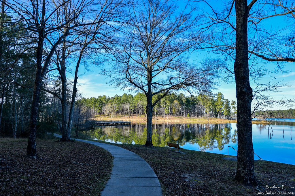
Turkey Fork-4
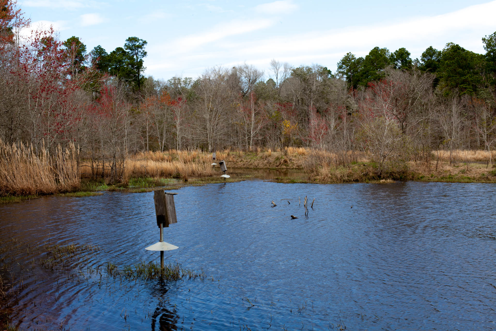
Turkey Fork-5

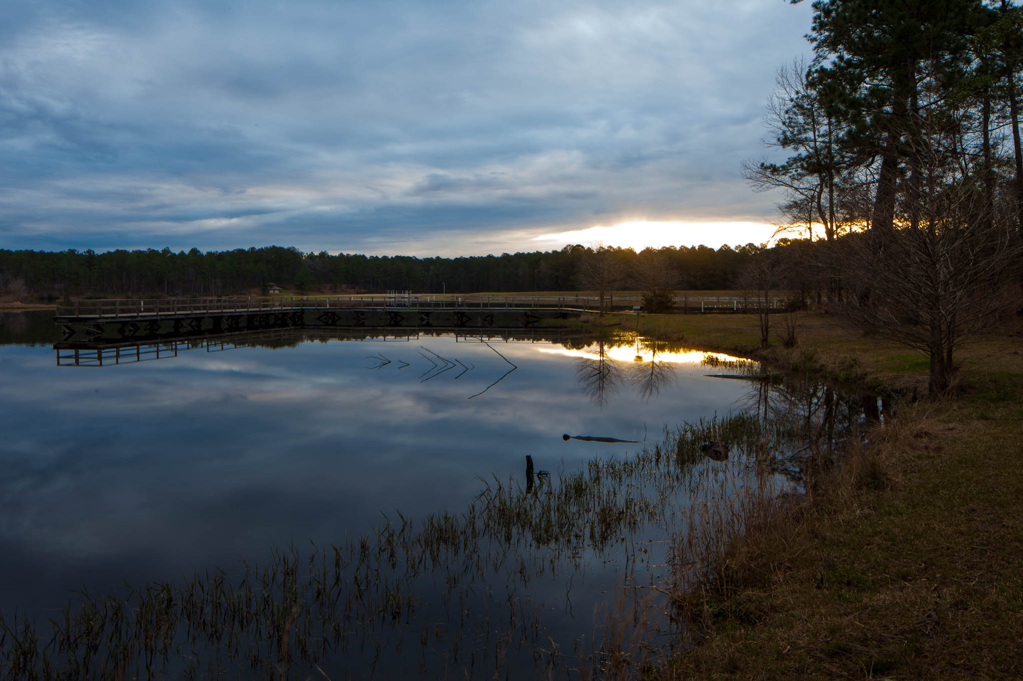
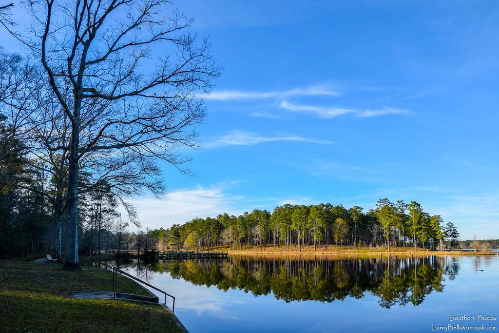
Sunrise over Turkey Fork Lake, Desoto National Forest
DSC_0025.jpg
DSC_0023.jpg
DSC_0022.jpg
DSC_0020.jpg

DSC_0014.jpg
DSC_0018.jpg

DSC_0013.jpg
DSC_0012.jpg
DSC_0011.jpg
DSC_0004.jpg
DSC_0003.jpg
DSC_0001.jpg

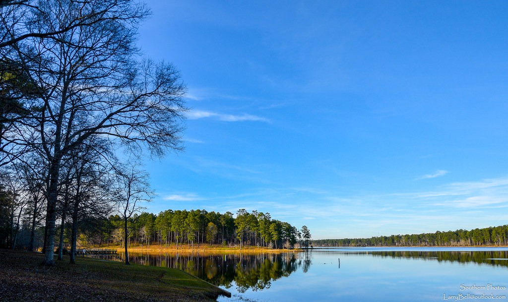
Turkey Fork Sunrise
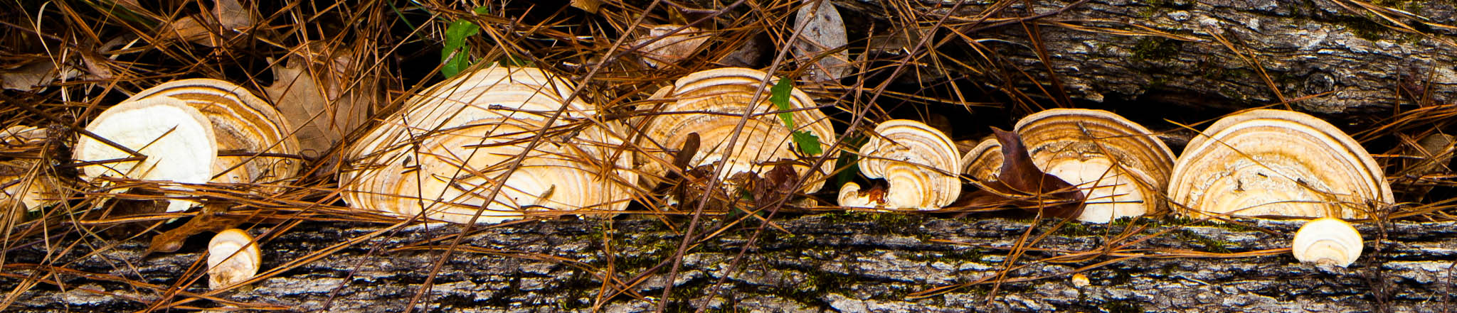
Turkey Fork-6

Jeans Family Hangin' Out

Gaines Creek Bridge
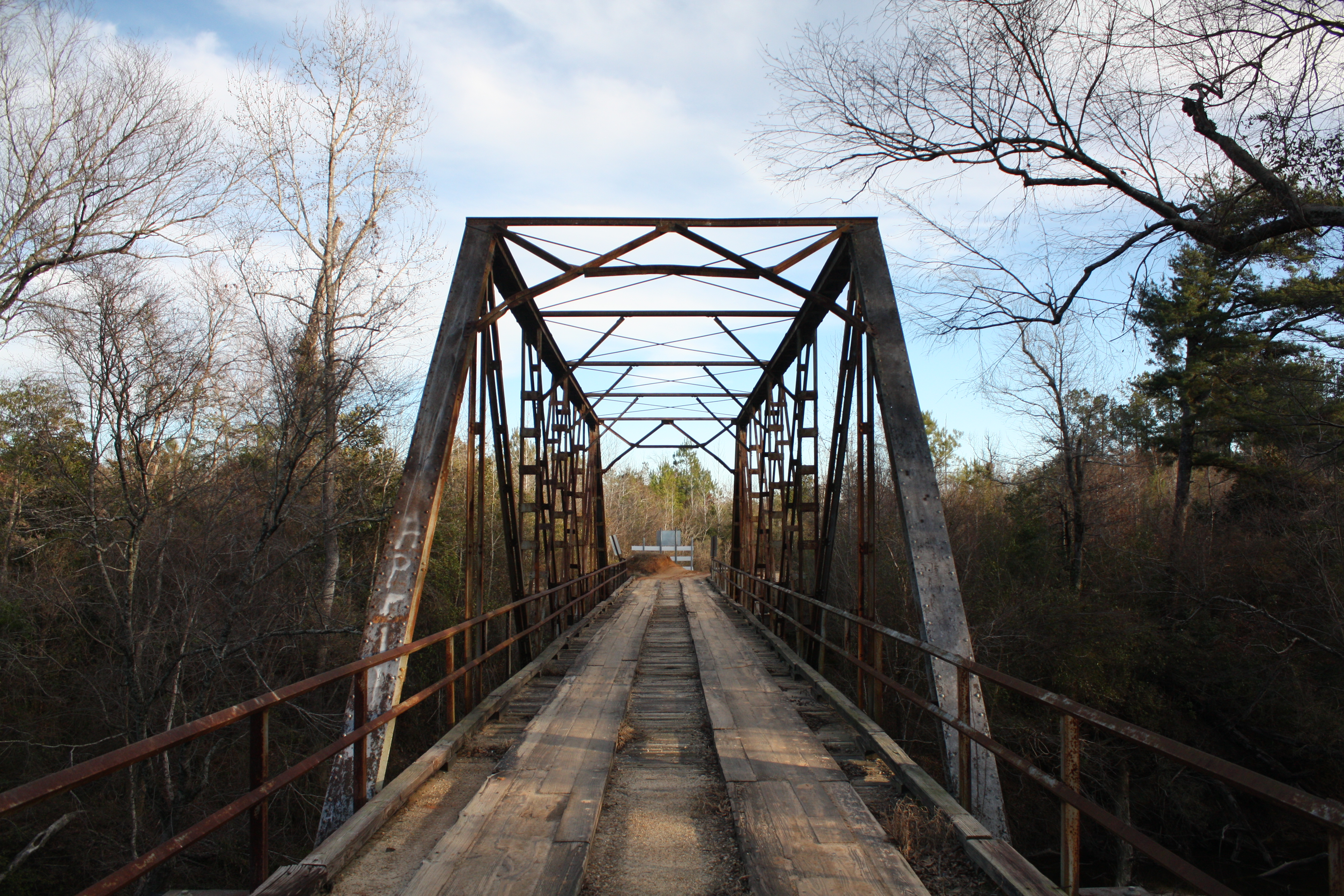
Gaines Creek Bridge
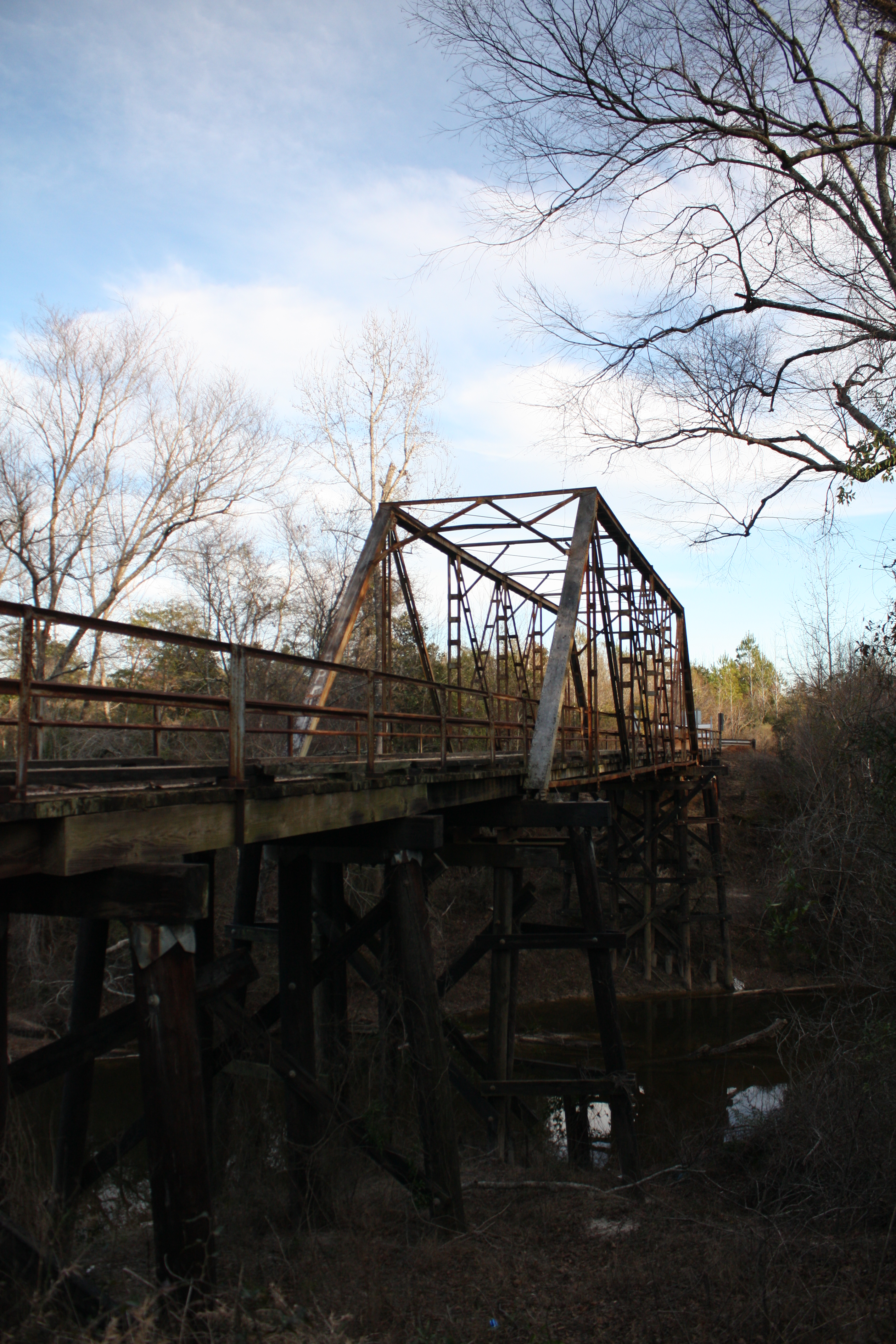
Gaines Creek Bridge
Topographic Map of Bee Tree Rd, Richton, MS, USA
Find elevation by address:

Places near Bee Tree Rd, Richton, MS, USA:
121 Otho Sellers Rd
Richton
802 Dogwood Ave
802 Dogwood Ave
Greene County
1702 Green Ave
Beaumont
Rail Rd St, Beaumont, MS, USA
Perry County
Waynesboro
Freedom Road
Robinson Street Cafe & Ice Crm
Wayne County
31 Kate Travis Dr, Petal, MS, USA
6194 Old River Rd
Old River Road
520 Macedonia Rd
Antioch Drive
46 Floyd Strickland Rd
203 Wildwood Trail
Recent Searches:
- Elevation of Kambingan Sa Pansol Atbp., Purok 7 Pansol, Candaba, Pampanga, Philippines
- Elevation of Pinewood Dr, New Bern, NC, USA
- Elevation of Mountain View, CA, USA
- Elevation of Foligno, Province of Perugia, Italy
- Elevation of Blauwestad, Netherlands
- Elevation of Bella Terra Blvd, Estero, FL, USA
- Elevation of Estates Loop, Priest River, ID, USA
- Elevation of Woodland Oak Pl, Thousand Oaks, CA, USA
- Elevation of Brownsdale Rd, Renfrew, PA, USA
- Elevation of Corcoran Ln, Suffolk, VA, USA