Elevation of Beaverton, MI, USA
Location: United States > Michigan > Gladwin County >
Longitude: -84.484731
Latitude: 43.8822464
Elevation: 220m / 722feet
Barometric Pressure: 99KPa
Elevation Map:
Satellite Map:
Related Photos:

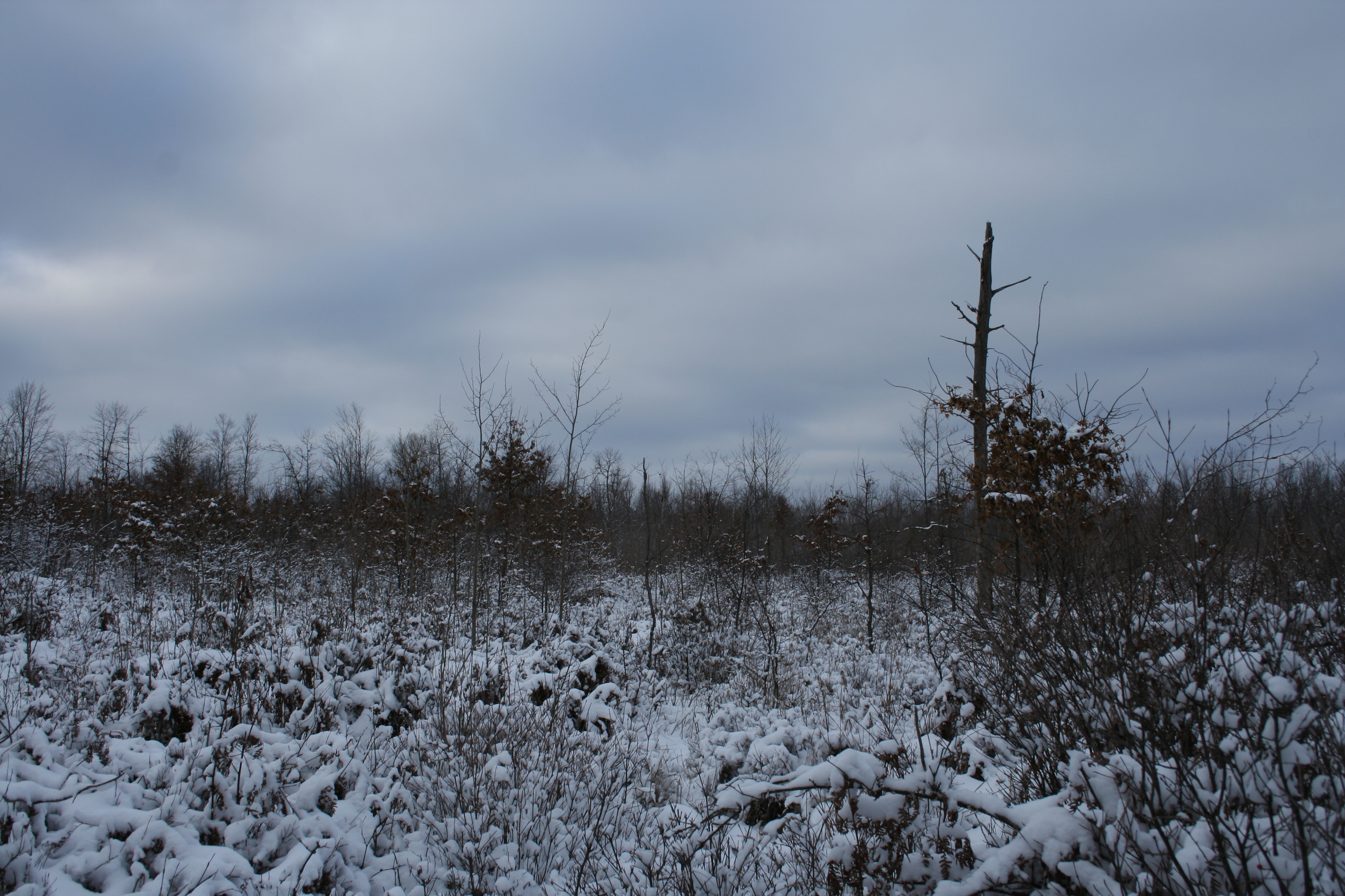
Snow Range
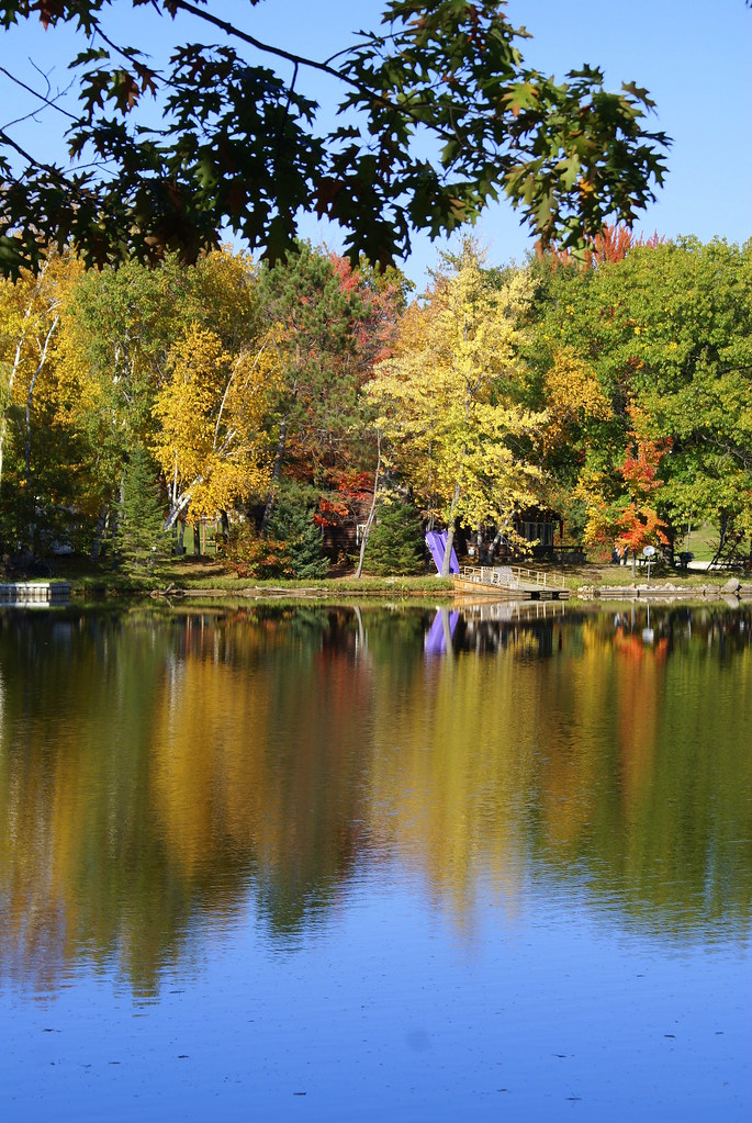
10-10-08 03

Day is done

10-10-08 01
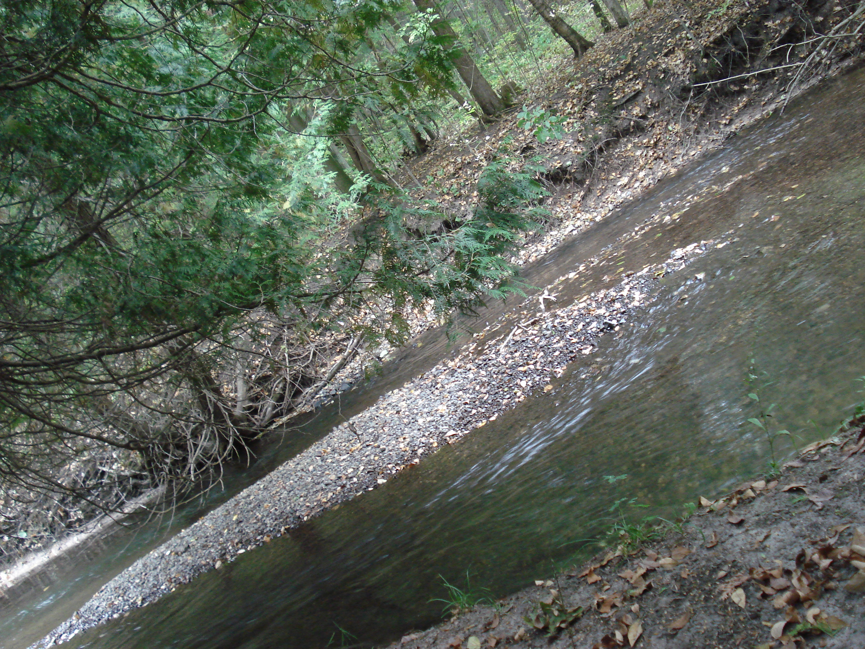
Forest Stream

mourning cloak
Tittabawassee sunset

beautiful clouds before the storm comes in

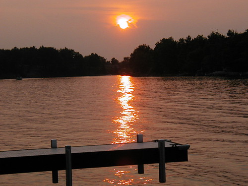
sunset on the Tittabawassee River

Sunset on Smallwood Lake

Fly Mordecai
Tittabawassee River

Labor Day Weekend

Labor Day Weekend

Labor Day Weekend

Labor Day Weekend

Labor Day Weekend

Labor Day Weekend
Topographic Map of Beaverton, MI, USA
Find elevation by address:

Places in Beaverton, MI, USA:
Places near Beaverton, MI, USA:
Ross St, Beaverton, MI, USA
3535 Mcculloch Rd
2497 Guernsey Rd
Beaverton Township
Tobacco Township
2871 W Curtis Rd
Grout Township
Buckeye Township
5150 Plank Rd
Gladwin
3303 Dundas Rd
5725 Flock Rd
5850 Hunter Rd
Edenville Township
Coleman, MI, USA
Warren Township
North Fox Road
Sage Township
981 E Railway St
115 Monroe St
Recent Searches:
- Elevation of Congressional Dr, Stevensville, MD, USA
- Elevation of Bellview Rd, McLean, VA, USA
- Elevation of Stage Island Rd, Chatham, MA, USA
- Elevation of Shibuya Scramble Crossing, 21 Udagawacho, Shibuya City, Tokyo -, Japan
- Elevation of Jadagoniai, Kaunas District Municipality, Lithuania
- Elevation of Pagonija rock, Kranto 7-oji g. 8"N, Kaunas, Lithuania
- Elevation of Co Rd 87, Jamestown, CO, USA
- Elevation of Tenjo, Cundinamarca, Colombia
- Elevation of Côte-des-Neiges, Montreal, QC H4A 3J6, Canada
- Elevation of Bobcat Dr, Helena, MT, USA