Elevation of Beaumont, KS, USA
Location: United States > Kansas > Butler County > Glencoe >
Longitude: -96.532792
Latitude: 37.6580791
Elevation: 489m / 1604feet
Barometric Pressure: 96KPa
Elevation Map:
Satellite Map:
Related Photos:

Old Rock Building

Curious Bovine

Old Rock Building
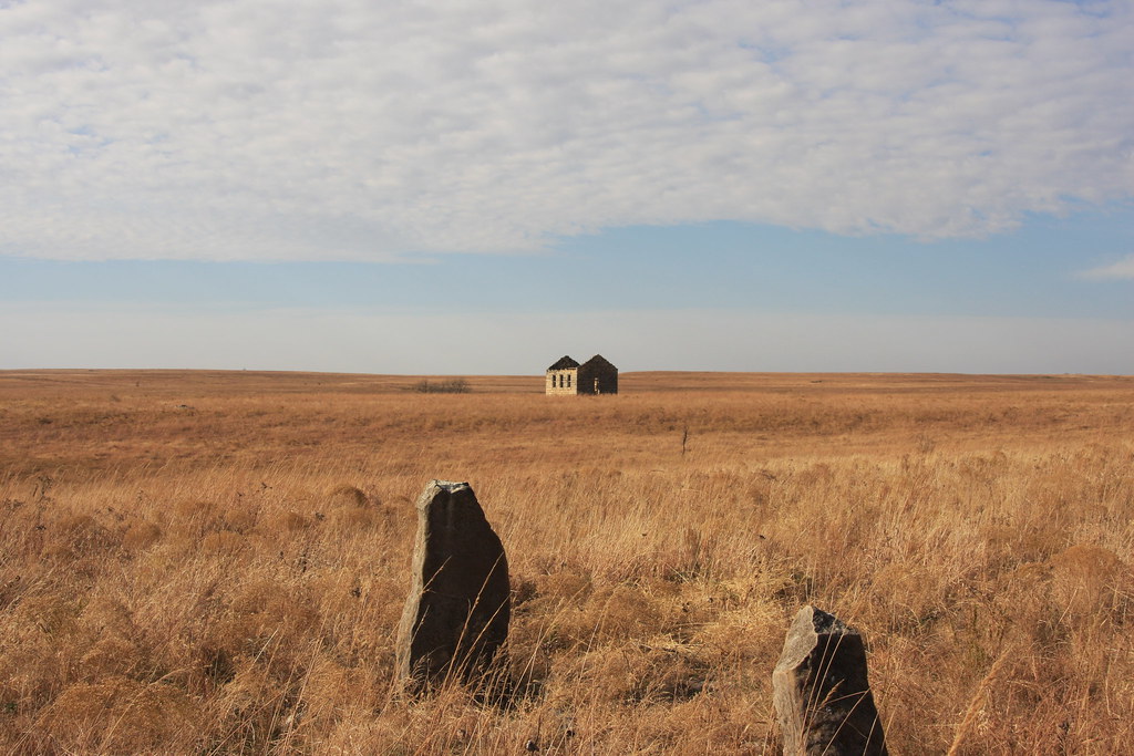
Tombstones by Little school/house/Church? on the prairie
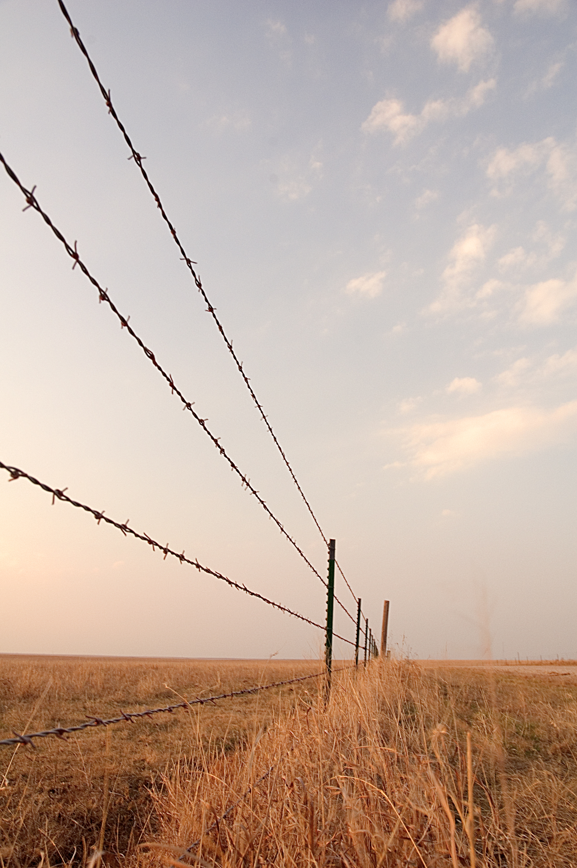
Barbed Wire Fence

Beaumont, Kansas

Wind Mills Near Beaumont

Old Rock Building

Old Rock Building

Old Rock Building

Old Rock Building

Old Rock Building

2013 Project 365 - 131

Old Rock Building

South of the Beaumont Rest Stop

Old Rock Building

Old Rock Building

Old Rock Building

Old Rock Building

Old Rock Building

Wind Mills Near Beaumont
Topographic Map of Beaumont, KS, USA
Find elevation by address:

Places in Beaumont, KS, USA:
Places near Beaumont, KS, USA:
SE Main St, Beaumont, KS, USA
Beaumont Hotel
Glencoe
Otter Creek
Union
Latham
Cherry St, Latham, KS, USA
802 9th St
11509 Se Parallel St
Harvey
Little Walnut
SE Price Rd, El Dorado, KS, USA
th Rd, Cambridge, KS, USA
Leon
N Olive St, Leon, KS, USA
Prospect
rd Rd, Cambridge, KS, USA
275th Road
Eureka
Prospect
Recent Searches:
- Elevation of Luther Road, Luther Rd, Auburn, CA, USA
- Elevation of Unnamed Road, Respublika Severnaya Osetiya — Alaniya, Russia
- Elevation of Verkhny Fiagdon, North Ossetia–Alania Republic, Russia
- Elevation of F. Viola Hiway, San Rafael, Bulacan, Philippines
- Elevation of Herbage Dr, Gulfport, MS, USA
- Elevation of Lilac Cir, Haldimand, ON N3W 2G9, Canada
- Elevation of Harrod Branch Road, Harrod Branch Rd, Kentucky, USA
- Elevation of Wyndham Grand Barbados Sam Lords Castle All Inclusive Resort, End of Belair Road, Long Bay, Bridgetown Barbados
- Elevation of Iga Trl, Maggie Valley, NC, USA
- Elevation of N Co Rd 31D, Loveland, CO, USA