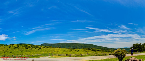
Elevation of Bear Run Rd, Lansing, NC, USA

Location: United States > North Carolina > Ashe County > Piney Creek > Lansing >

Longitude: -81.472160

Latitude: 36.553109

Elevation: 876m / 2874feet

Barometric Pressure: 91KPa

Elevation Map:

elevation map of Bear Run Rd, Lansing, NC, USA

Satellite Map:

Satellite map of Bear Run Rd, Lansing, NC, USA

Related Photos:

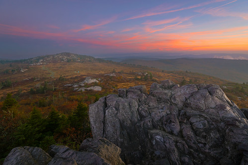
Morning on Wilburn Ridge
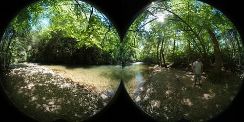
360 swva la lowerappalachia appalachianmountains mountains vct virginiacreepertrail railstotrails bike bikepath bicycle 360camera samsung rva ric va virginia richmond richmondva richmondvirginia elichristman elijahchristman elijameschristman elijahjameschristman elichristmanrva elijahchristmanrva elichristmanrichmondva elichristmanrichmondvirginia elijahchristmanrichmondva elijahchristmanrichmondvirginia gear360 samsunggear samsunggear360
Virginia Creeper Trail 360
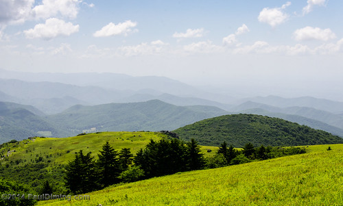
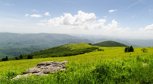
summer landscape virginia highlands unitedstates meadow troutdale balds nationalrecreationarea southwestvirginia washingtoncounty graysoncounty mouthofwilson smythcounty mtrogersnra whitetopmountain mtrogersnationalrecreationarea d7000 washingtoncountyvirginia whitetopfolkfestival blueridgehighlands graysoncountyvirginia smythcountyvirginia pauldiming highcountrymeadow mouthofwilsonvirginia
View From Whitetop Summit I - Mt. Rogers, NRA, Whitetop, VA
mountains virginia scenicviews mountrogers jeffersonnationalforest mountrogersnationalrecreationarea
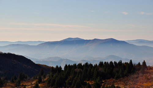
View from The Scales
log mark ii elk sota lnr periodic summitsontheair yaesuft817 threetopmountain endfedz elecraftkx3 ki4svm wh6le w4cem014
View of W4C/EM-014 - Three Top Mountain
2013 film spring afternoon cloudy driving forest ice snow travel trees outdoor nature landscape mountains rad20130320 aerial tree virginia grouped day graysonhighlands outdoors favorited
RAD2013.03.20.08 White Top
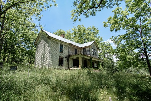
Mobile Home
abandoned samsung wideangle oldhouse swva graysoncounty primelens mouthofwilson rokinon nx30 samsungnx30 rokinon12mmf20 rokinon12mmf20ncscs
Old New River House
chfstew virginia vawashingtoncounty appalachiantrail hiking mountain landscape
Buzzard Rock, Appalachian NST, VA
flowers mountains virginia wildflower scenicviews mountrogers jeffersonnationalforest mountrogersnationalrecreationarea
Buttercups along the Fence
Mt Rogers Sunset
Wilburn Ridge Trail
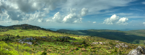
Wilburn Ridge Pano
Grayson Highlands Sunset
sunset mountains virginia whitetop scenicviews mountrogers jeffersonnationalforest
Sunset on White Top
sunset mountains virginia whitetop scenicviews mountrogers jeffersonnationalforest
Sunset on White Top
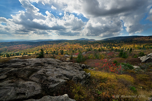
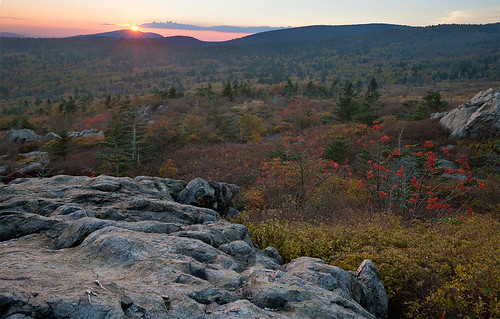
Wilburn Ridge Sunrise
pauldiming smythcounty landscape highlands highcountrymeadow mtrogersnra blueridgehighlands washingtoncounty meadow dailyphoto whitetopmountain summer graysoncountyvirginia mouthofwilsonvirginia smythcountyvirginia washingtoncountyvirginia southwestvirginia virginia balds graysoncounty mtrogersnationalrecreationarea d7000 nationalrecreationarea whitetopfolkfestival mouthofwilson troutdale unitedstates us
View Toward Buzzard Rocks from Whitetop Mountain - Mt. Rogers, NRA, Whitetop, VA
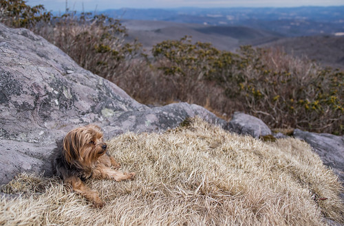
virginia yorkshireterrier appalachiantrail graysonhighlandsstatepark wilburnridge mountrogersrecreationarea dogsthathike
Appalachian Yorkie
Nuclear Blast
mouthofwilson virginia unitedstates us graysonhighlandsstatepark landscape christmastreefarm fraserfir rural hdr 3exp
Christmas Tree Farms...
appalachiantrail usa virginia damascus unitedstates us
JFRM-2017-04-7524.jpg
dog beautiful field river pregnant maternity wife 36weeks beautifulpregnantwife
river and her momma to be
mountrogers usa panorama virginia appalachiantrail whitetop unitedstates us
JFRM-2017-04-7548-Pano.jpg
panorama usa sunrise landscape geotagged virginia unitedstates hiking backpacking hdr appalachiantrail whitetop fairwood ptgui photomatix thomasknob mountrogersnationalrecreationarea canon7d sigma18250mmf3563dcmacrooshsm geo:lat=3665561074 geo:lon=8153577715
Mt Rogers Backpack - Sunrise on Thomas Knob - July 6, 2014
summer landscape virginia highlands unitedstates meadow troutdale balds nationalrecreationarea southwestvirginia washingtoncounty graysoncounty mouthofwilson smythcounty mtrogersnra whitetopmountain mtrogersnationalrecreationarea d7000 washingtoncountyvirginia whitetopfolkfestival blueridgehighlands graysoncountyvirginia smythcountyvirginia pauldiming highcountrymeadow mouthofwilsonvirginia
View Toward Buzzard Rocks from Whitetop Mountain - Mt. Rogers, NRA, Whitetop, VA
Lower Cabin Creek Falls
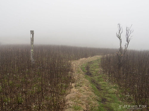
fog landscape virginia highlands nikon day hikingtrail appalachianmountains scenicview graysonhighlands graysoncounty 18300mm graysonhighlandsstatepark virginiastateparks graysoncountyvirginia nikond5000 skyemarthaler
Morning in the Grayson Highlands
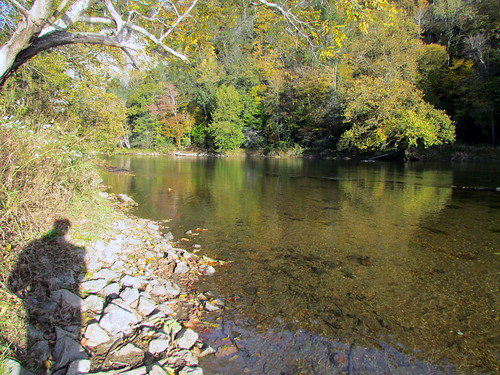
statepark nc newriver
Allegany Section New River State Park 20111009 4474
summer fence landscape virginia unitedstates trail dailyphoto splitrail usda whitetop usforestservice splitrailfence graysoncounty apalachiantrail at elkgarden mtrogersnra mtrogersnationalrecreationarea mountrogersnationalrecreationarea d7000 mountrogersnra graysoncountyvirginia pauldiming whitetopvirginia elkgardentrailhead
Split Rail Fence @ Elk Garden Trailhead - Mt. Rogers NRA, Whitetop, VA
Evening Pano
panorama usa landscape geotagged virginia unitedstates hiking backpacking hdr troutdale ptgui photomatix bighill elkgarden mountrogersnationalrecreationarea canon7d sigma18250mmf3563dcmacrooshsm geo:lat=3664623200 geo:lon=8158363200
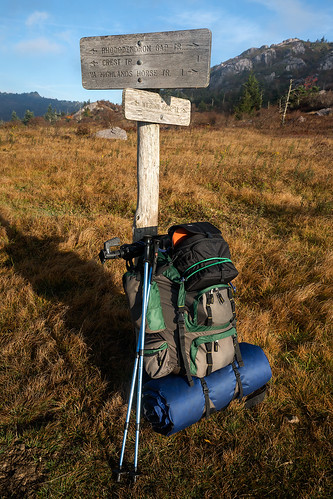
Getting started at the Elk Garden Trailhead