Elevation of Bear Mountain Rd, Creswell, OR, USA
Location: United States > Oregon > Lane County > Creswell >
Longitude: -122.95088
Latitude: 43.896879
Elevation: 237m / 778feet
Barometric Pressure: 99KPa
Elevation Map:
Satellite Map:
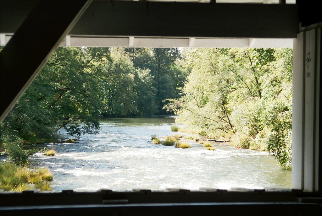
Related Photos:
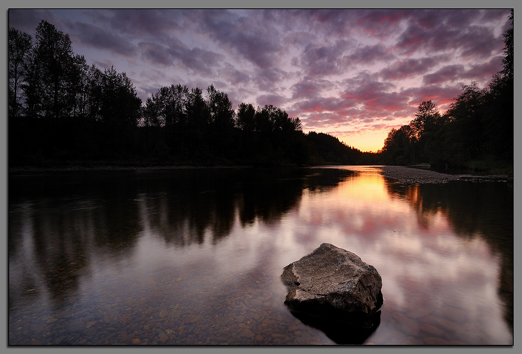
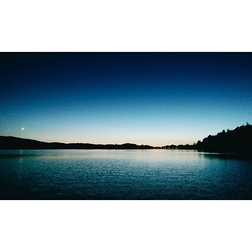
Clearwater Sunset....
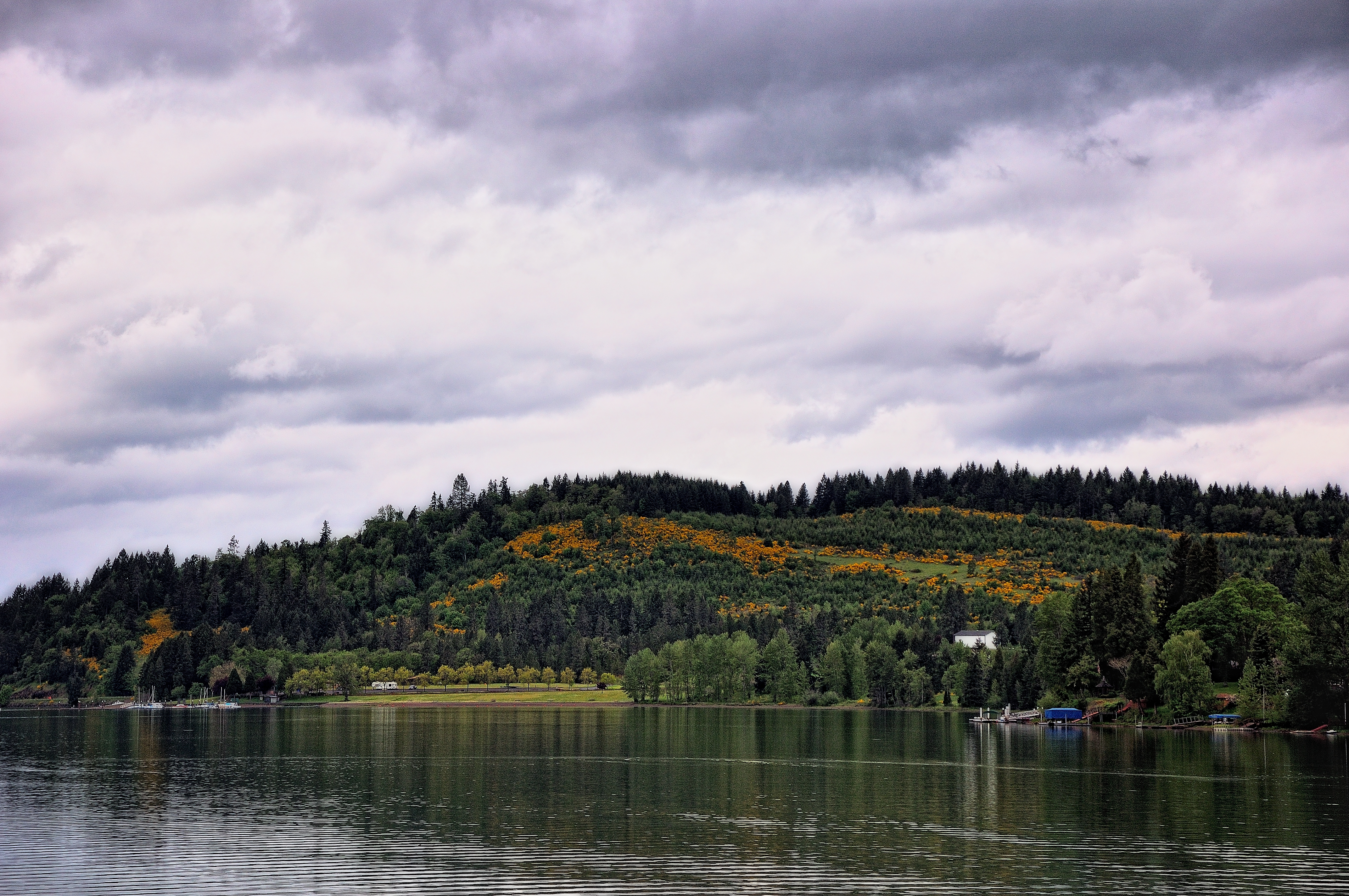
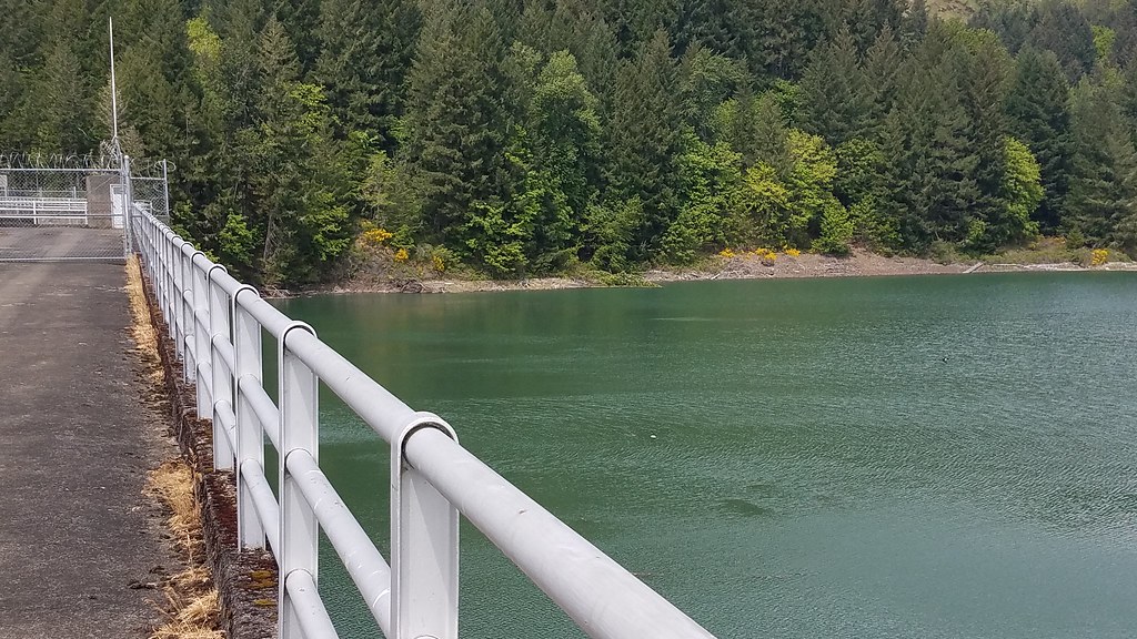
Hills Behind a Lakeshore View

Motormatic on the Down Low
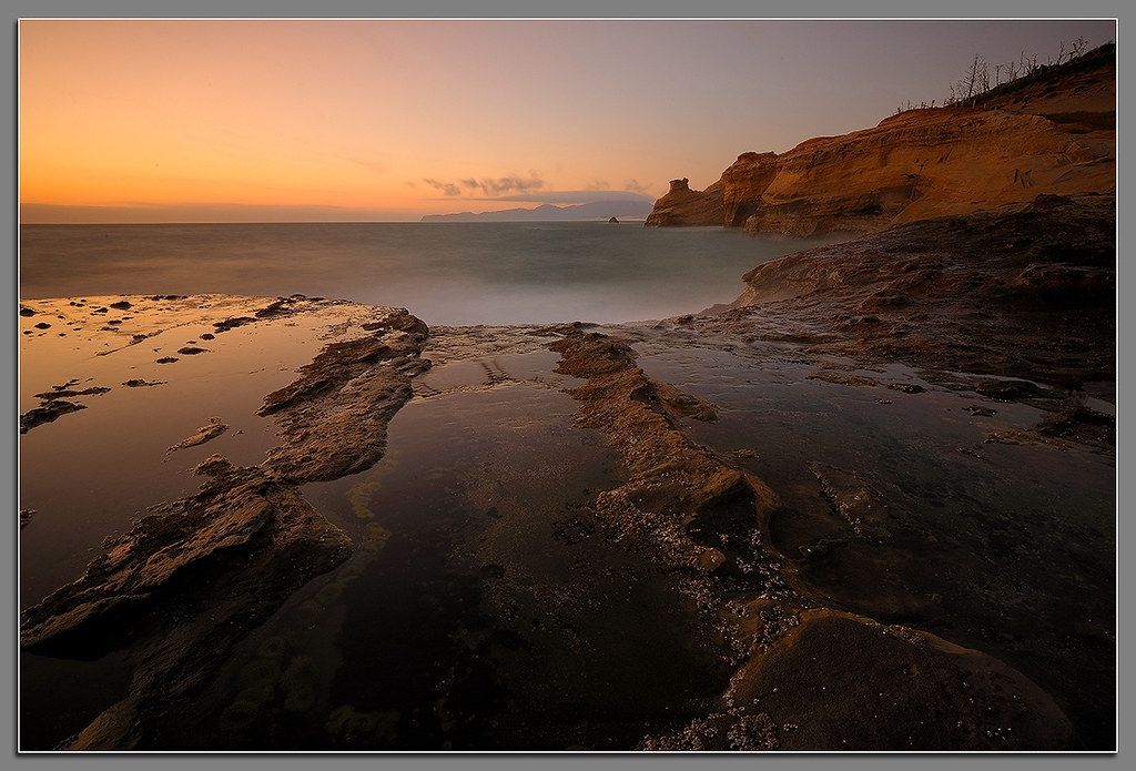
Kiwanda Sundown

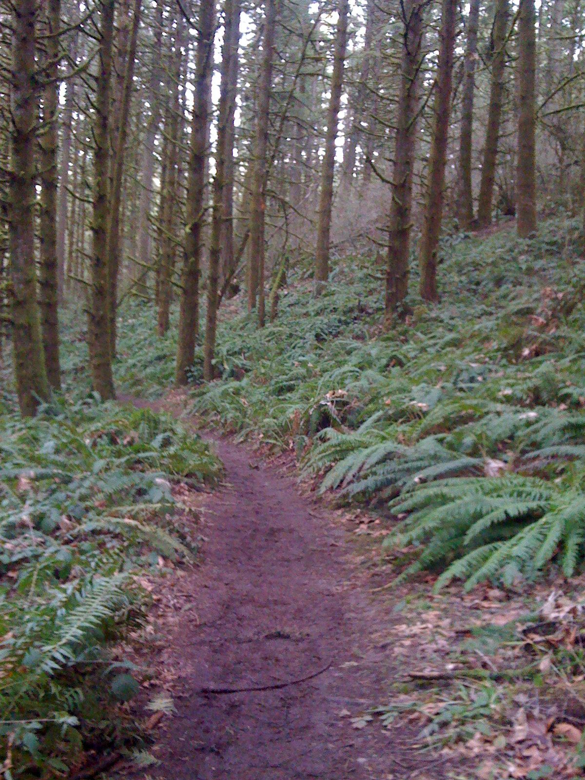
Needles and Pins

BARN ON THE HILL

Faerie Worlds 2012, Eugene, Oregon

A Looking in View

Train Break

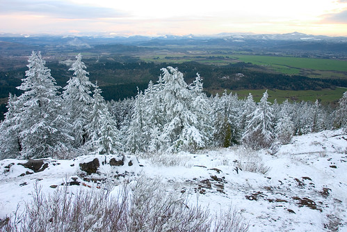
The view from Spencer Butte at sunset is really worth all the effort to get there #sunset #hike #spencerbutte #eugeneoregon #bearinthewoods #gingerbearman #gingerbeard #transginger #transgender #ftm #getoutside #tvop #iheartoregon
a2001-14-23

Forest Shrooms

Atop Spencer
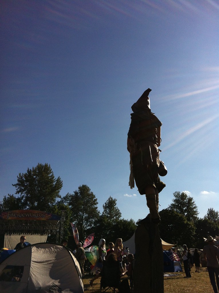
Faerie Worlds 2012, Eugene, Oregon
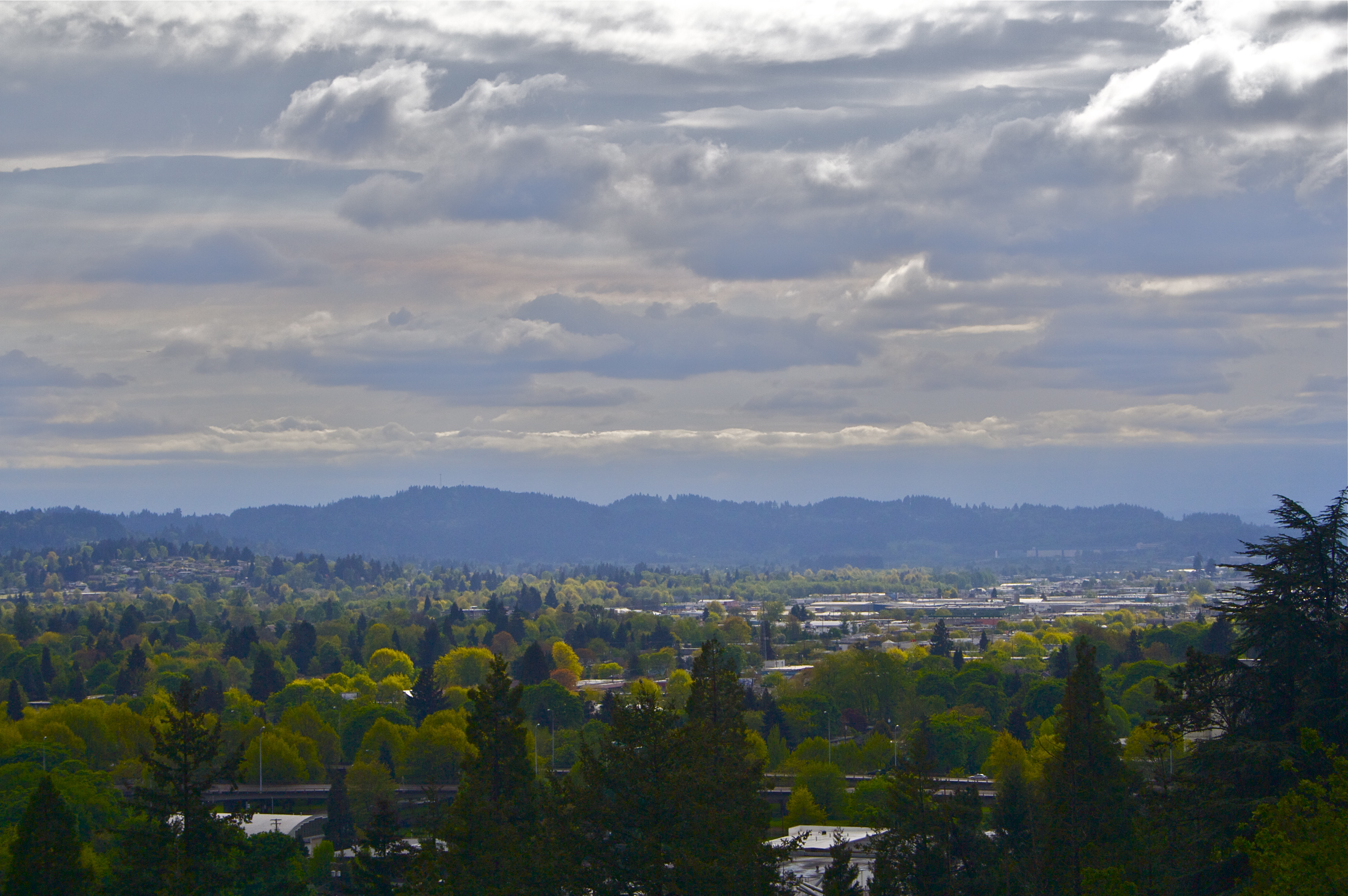
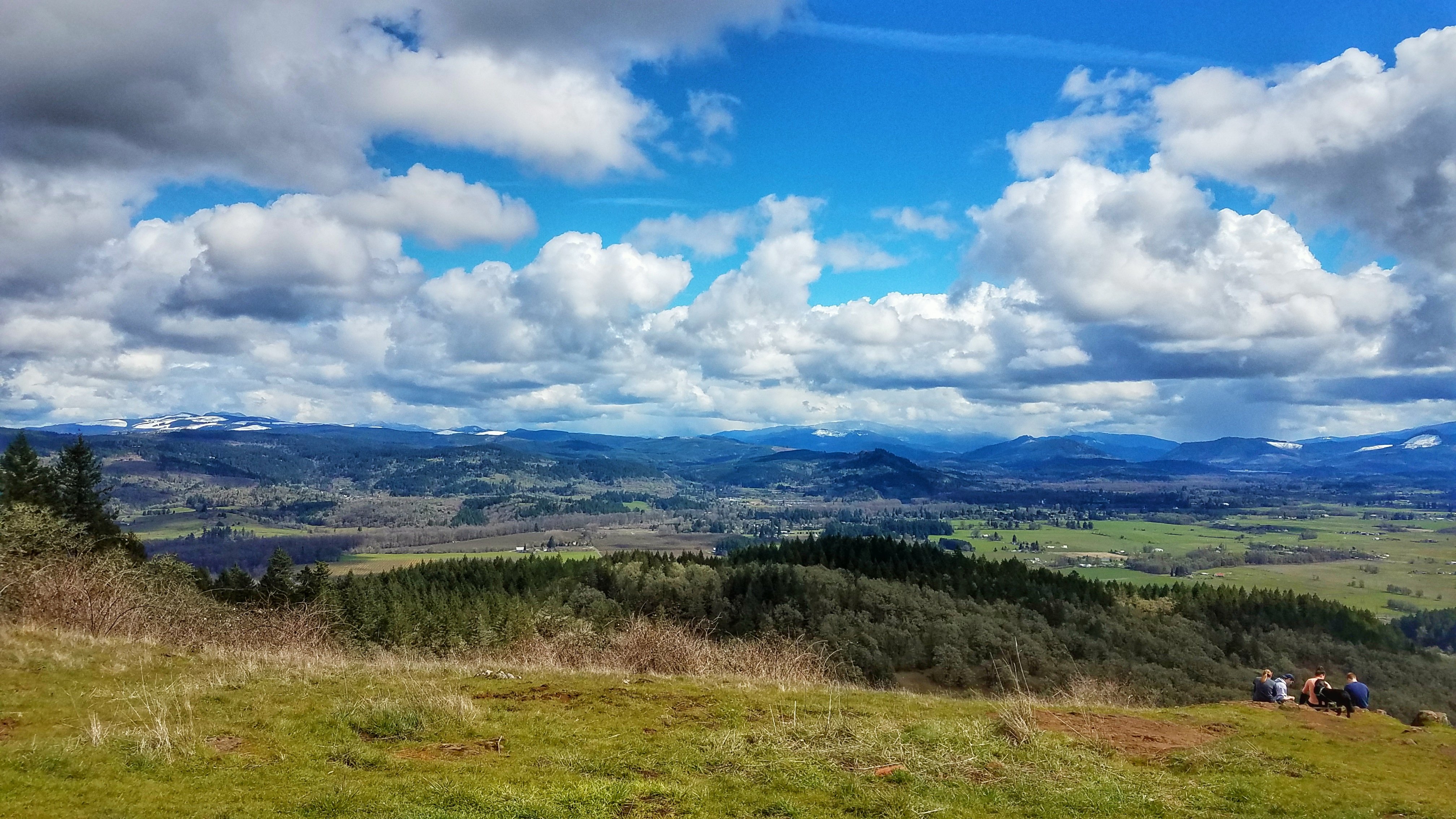
Valley View

View over the fence
over-saturated view of clouds and trees

Southwest View

Faerie Worlds 2012, Eugene, Oregon
Closer view of Bushtit nest

Taking in the views

Runnin' Down a Dream

day ten.
1-20-11

Thurston from a distance
20180902[175652]
[70/365] #eugene #oregon #portland #sun #i5
Willamette Valley

Paint it Black

MORE BOKEH DOWN BY THE RIVER

RIVERSIDE BOKEH
Schwarz Park/Doreena Lake, OR - May 4-6, 2018

Mt Pisgah Sunset

20070419-_MG_4356edit
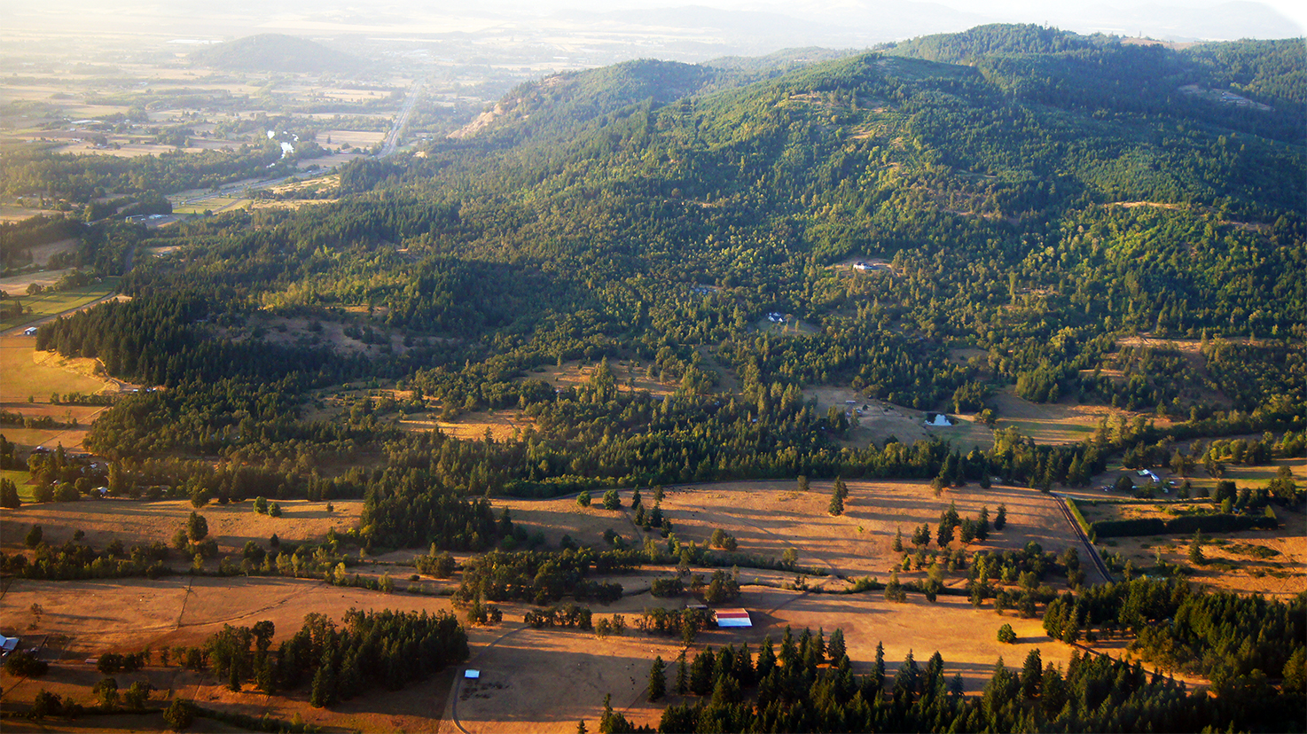
Hiking Mount Pisgah
Willamette Valley
[193/365] #eugene #oregon #dexter
2009-02-19 16:39:17 -0800

Tall shot

Willamette Valley grass field
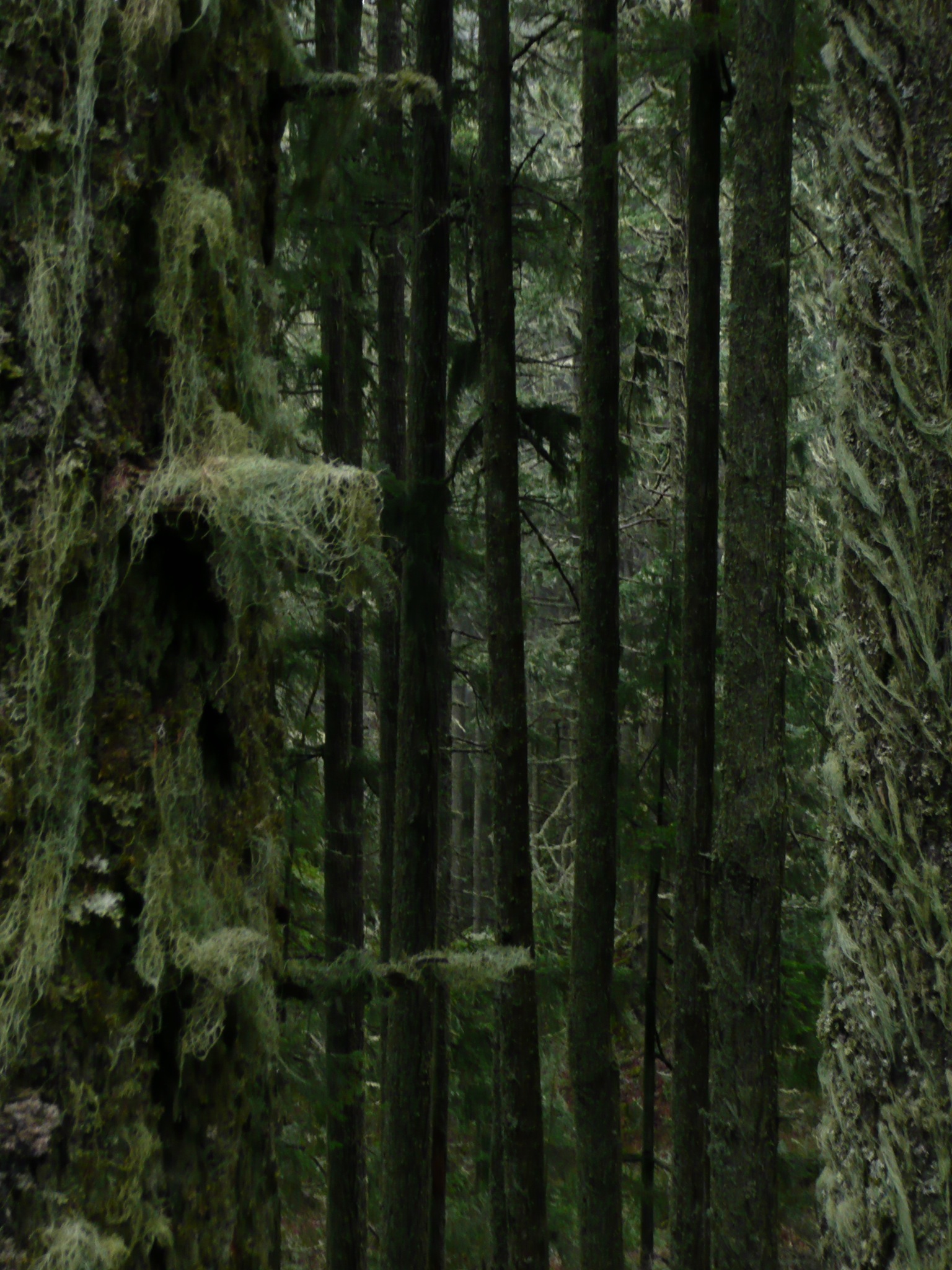
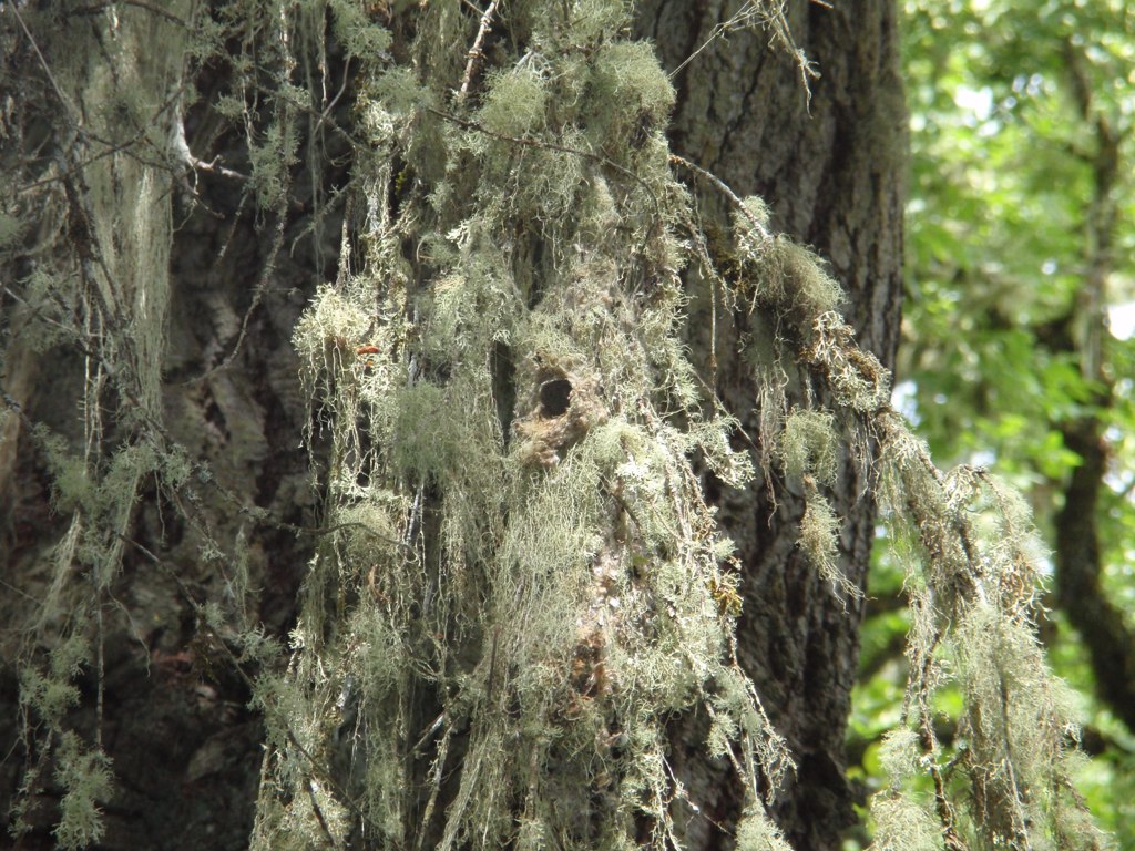
hairy trees
Topographic Map of Bear Mountain Rd, Creswell, OR, USA
Find elevation by address:

Places near Bear Mountain Rd, Creswell, OR, USA:
83390 Enterprise Rd
33838 E River Dr
Pleasant Hill, OR, USA
36104 Or-58
Pleasant Hill
35831 Or-58
84545 Weatherberry Ln
Creswell
85231 Cloverdale Rd
33176 Howe Ln
82919 Hurlburt Ln
80502 Delight Valley School Rd
Walker
34747 Sunflower Ct
Mount Pisgah
Saginaw
34601 Seavey Loop Rd
85164 N Hideaway Hills Rd
Dexter
78262 Cedar Park Rd
Recent Searches:
- Elevation of Gateway Blvd SE, Canton, OH, USA
- Elevation of East W.T. Harris Boulevard, E W.T. Harris Blvd, Charlotte, NC, USA
- Elevation of West Sugar Creek, Charlotte, NC, USA
- Elevation of Wayland, NY, USA
- Elevation of Steadfast Ct, Daphne, AL, USA
- Elevation of Lagasgasan, X+CQH, Tiaong, Quezon, Philippines
- Elevation of Rojo Ct, Atascadero, CA, USA
- Elevation of Flagstaff Drive, Flagstaff Dr, North Carolina, USA
- Elevation of Avery Ln, Lakeland, FL, USA
- Elevation of Woolwine, VA, USA