Elevation of Bear Creek View Ct, Frederick, MD, USA
Location: United States > Maryland > Frederick County > 2, Frederick > Frederick > Walnut Ridge >
Longitude: -77.444582
Latitude: 39.4412552
Elevation: 109m / 358feet
Barometric Pressure: 100KPa
Elevation Map:
Satellite Map:
Related Photos:
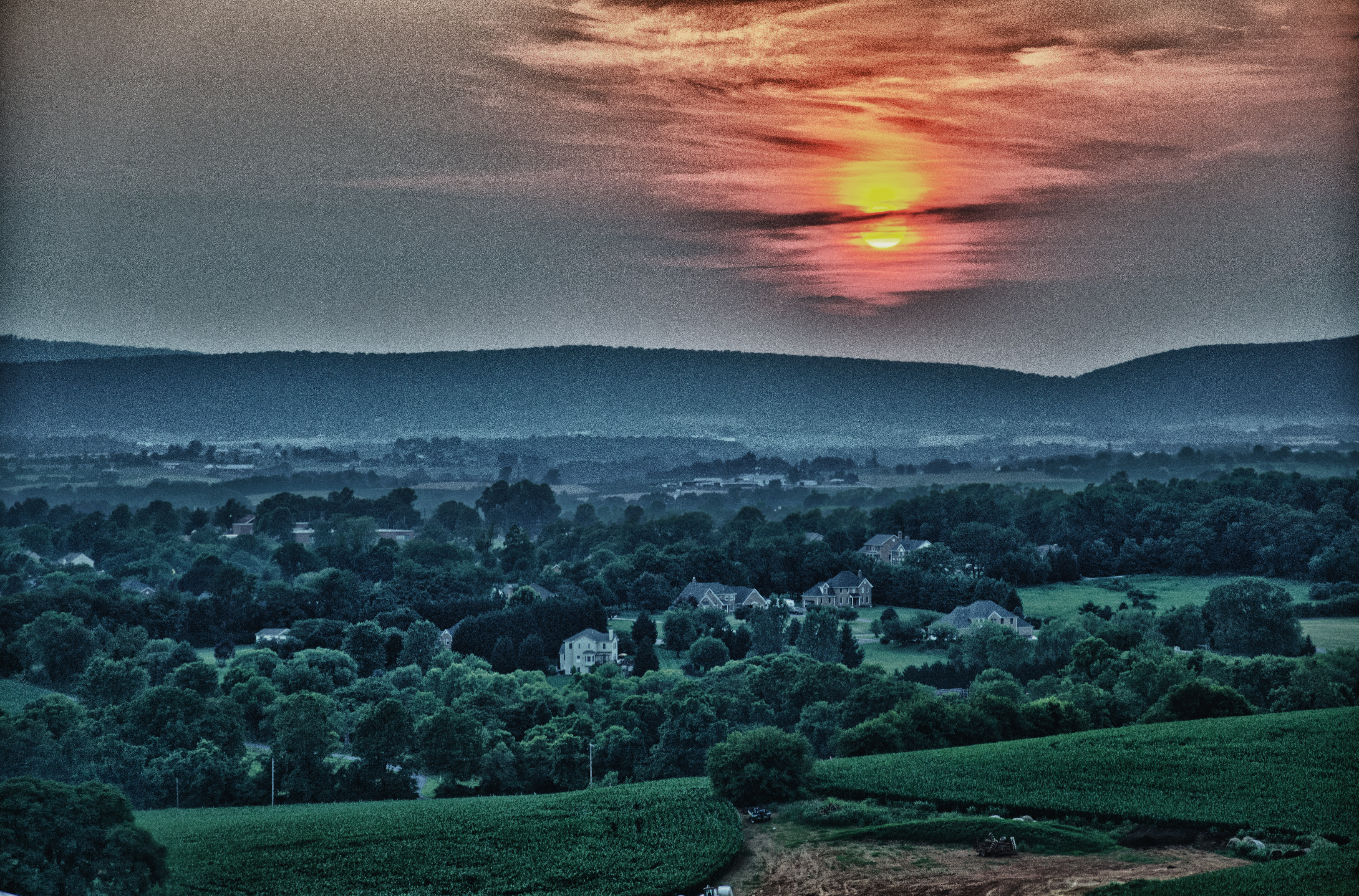
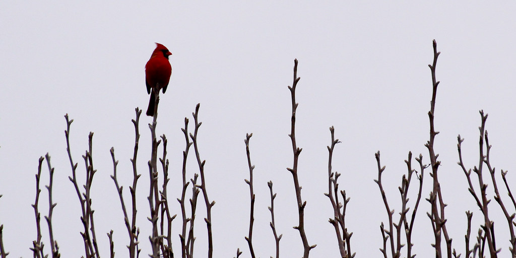
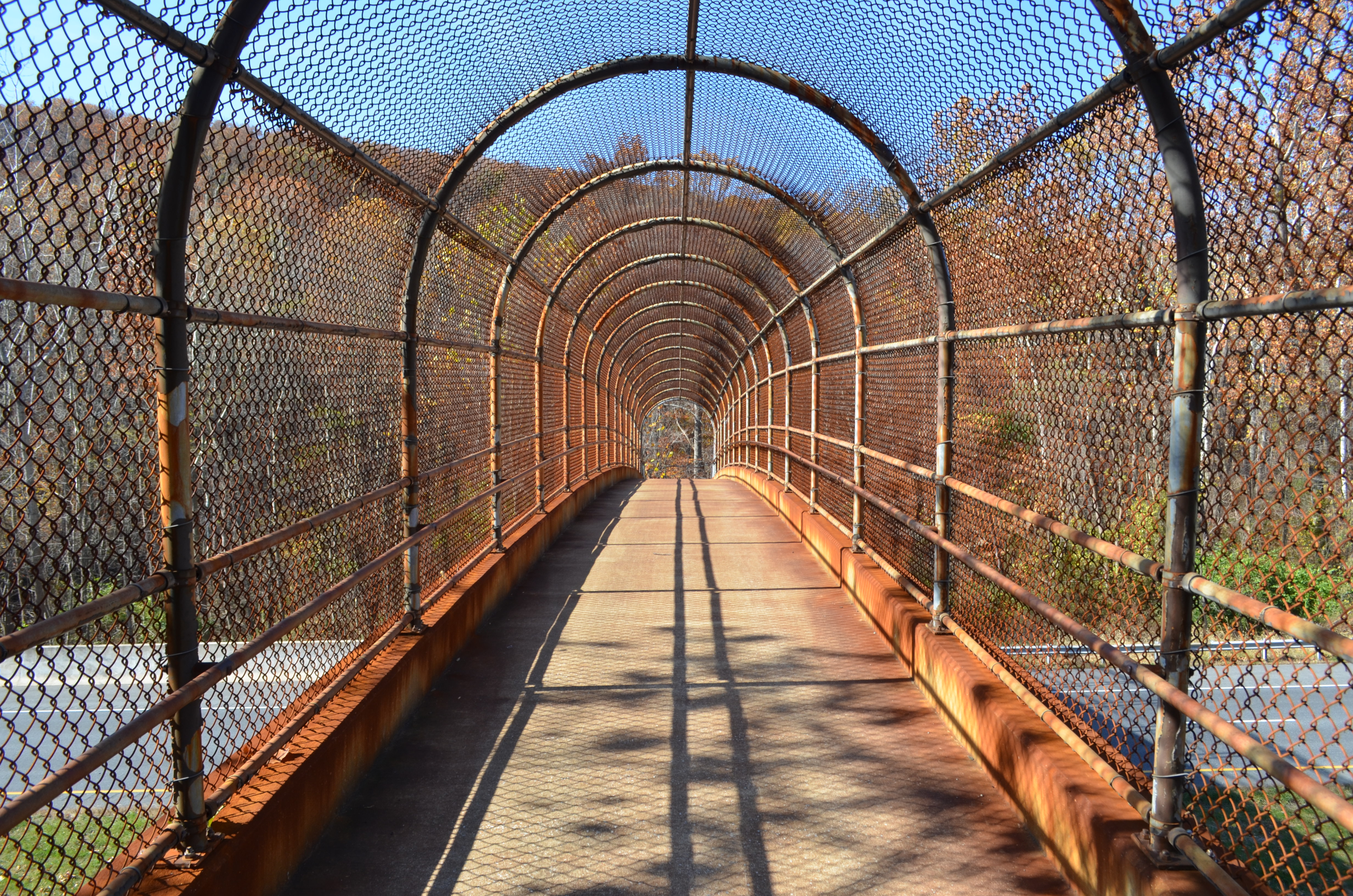
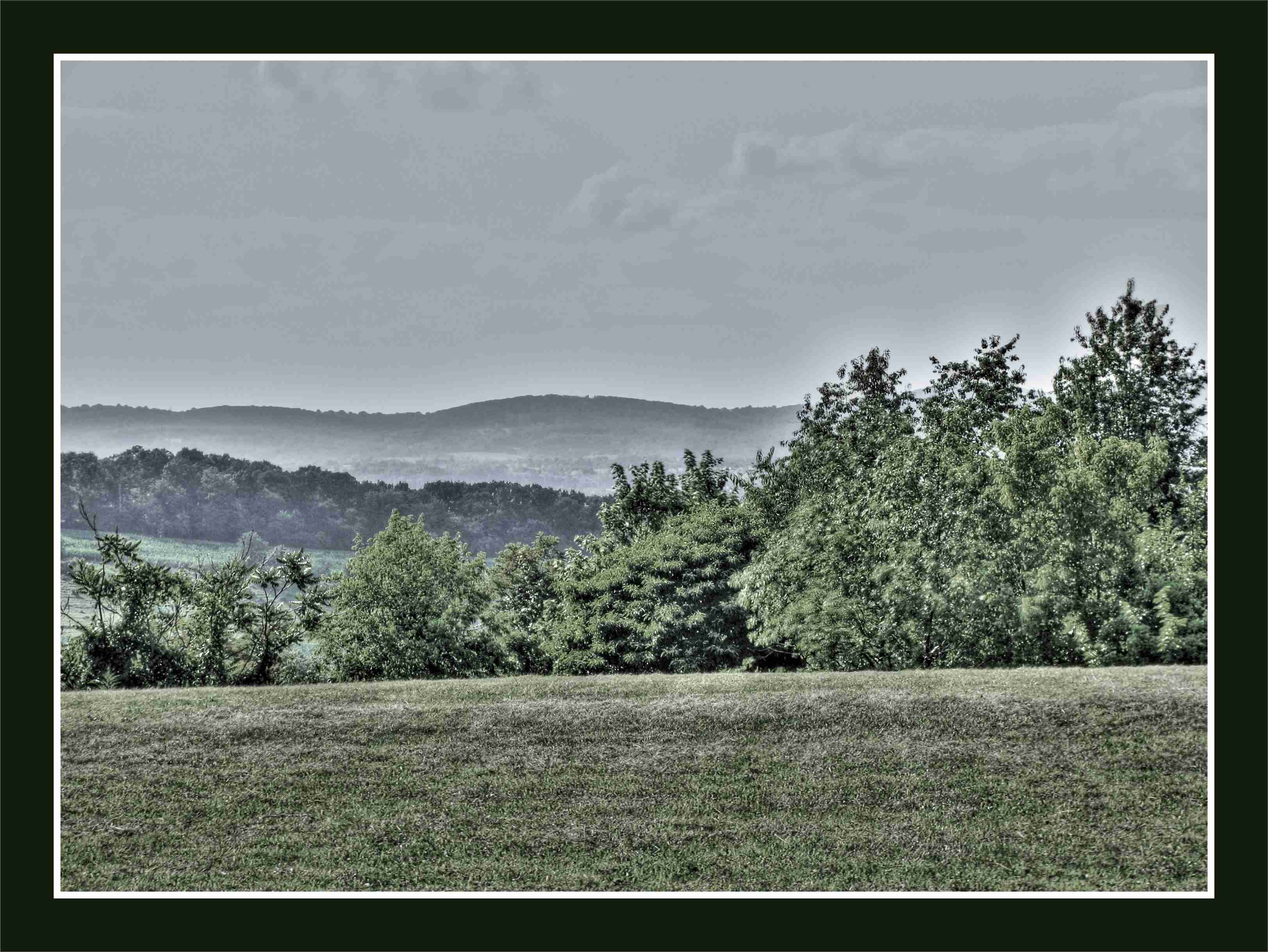
View from Marlu Ridge
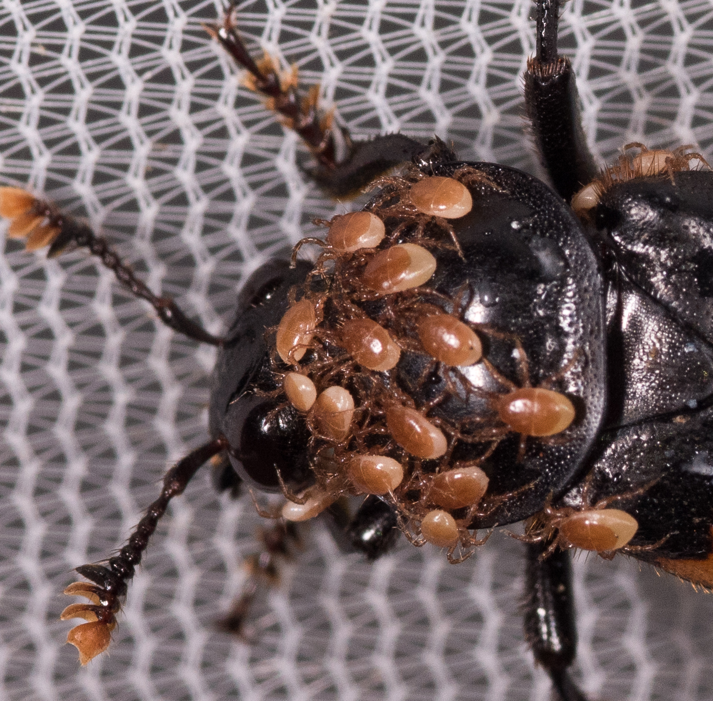
Poecilochirus sp.
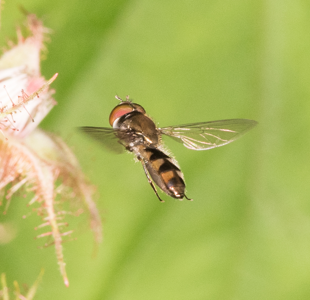
No Common Name
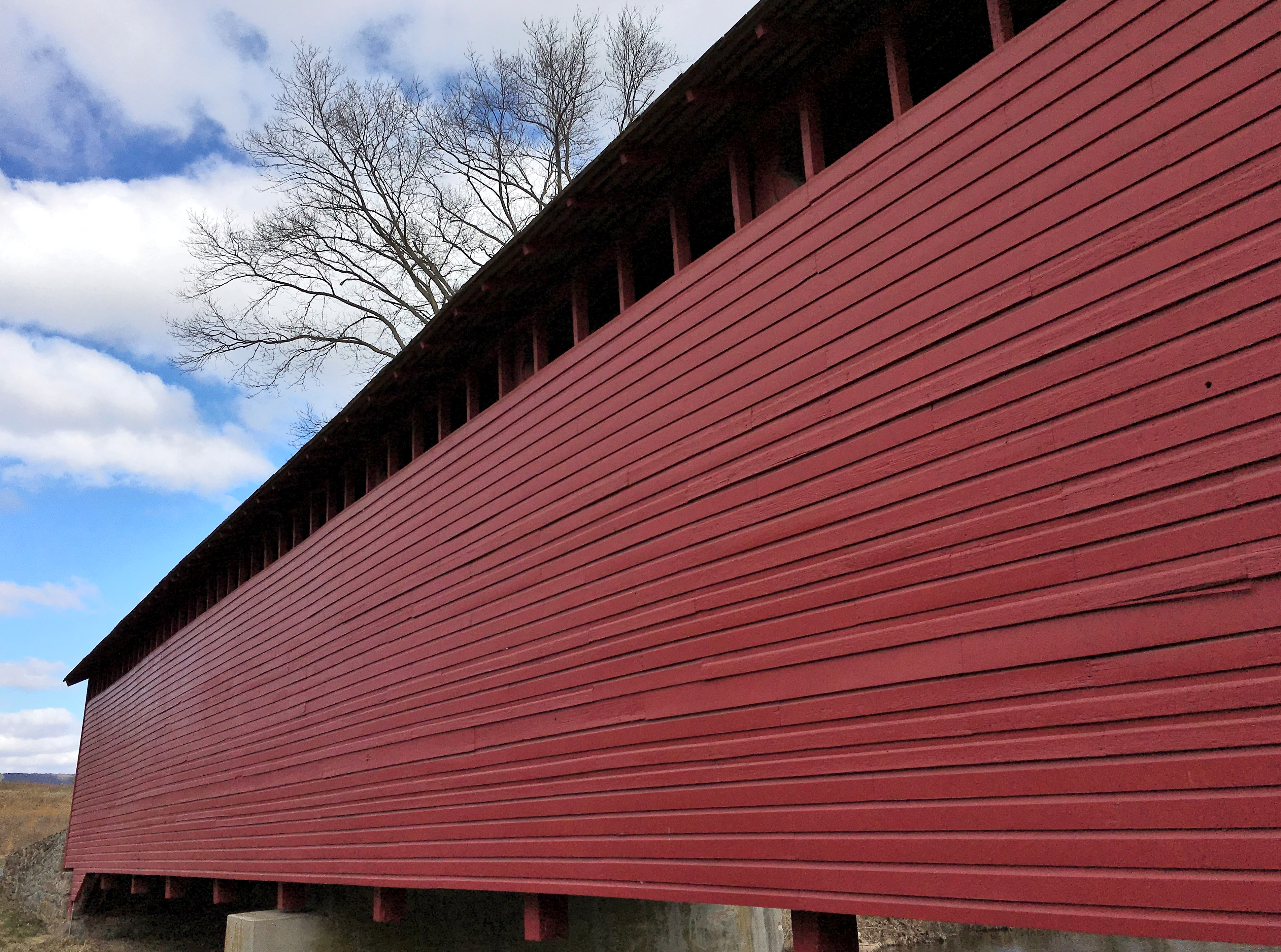
Thurmont MD ~ Utica Mills Covered Bridge
No Common Name
No Common Name
No Common Name
No Common Name
No Common Name
No Common Name
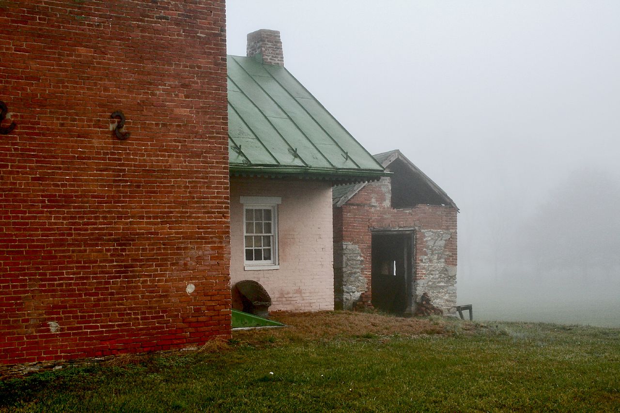
Down Stairs
No Common Name bamona
Rear View
No Common Name
Carolina Cantharid
No Common Name
Taking Watch
No Common Name
Hackberry Leafroller
No Common Name
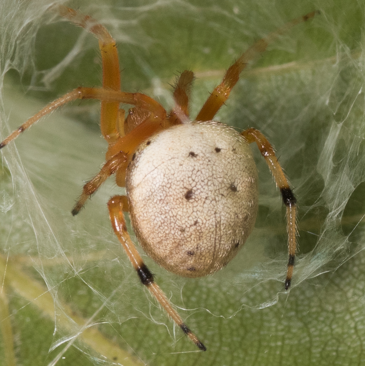
Lattice Orbweaver
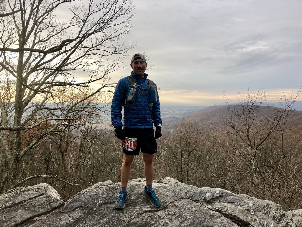
JFK50 Trip 2017
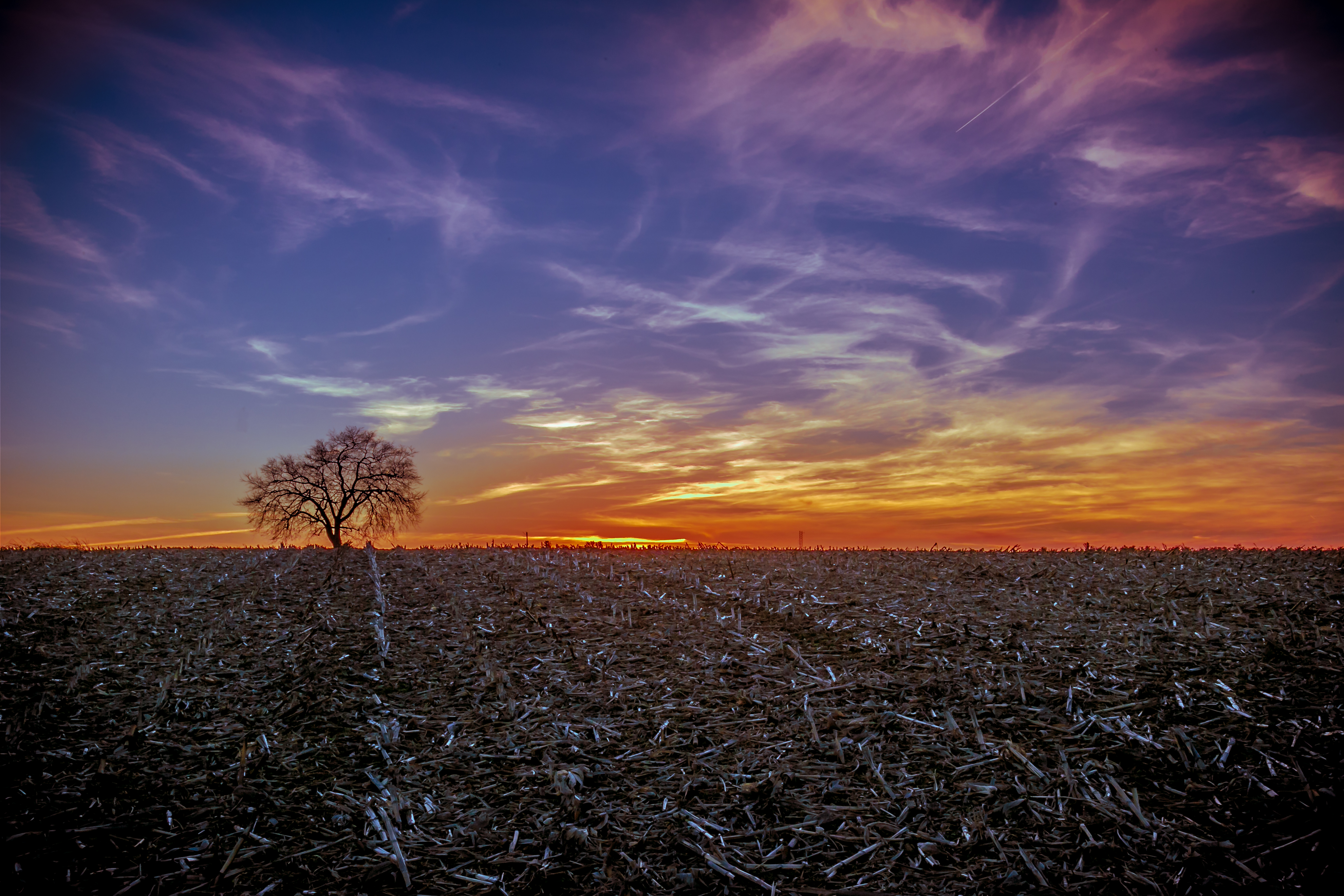
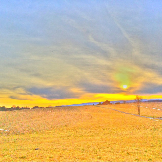
"A Field, A Tree, A Sky and A sunset.."
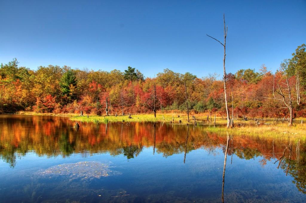
Reflection Pond: Autumn comes to Maryland
Layers Upon Layers
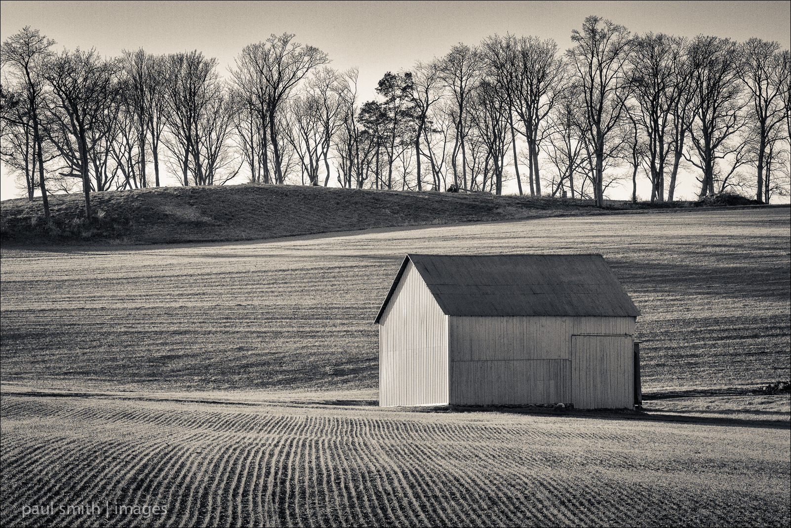
{314/365} Closed for the season
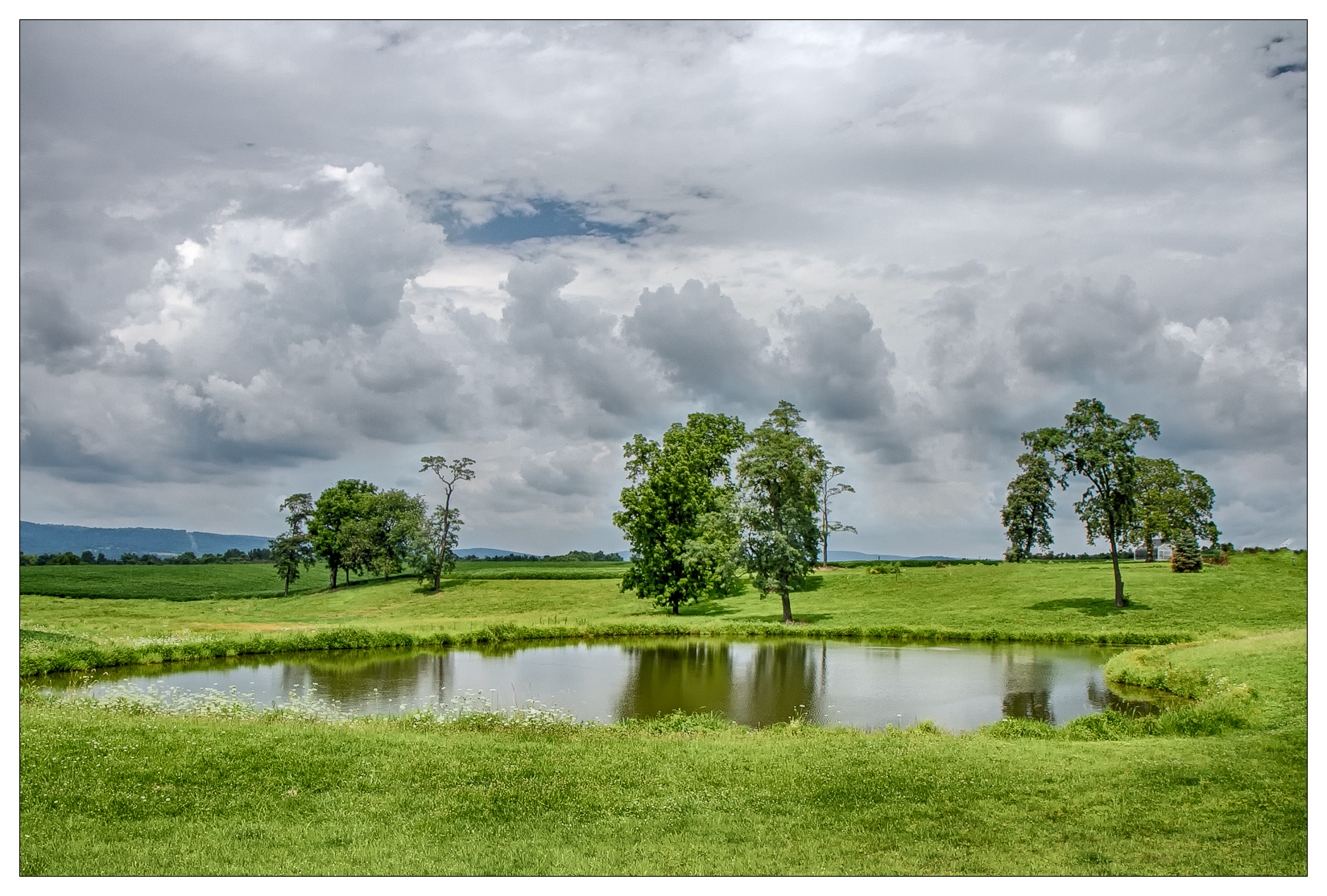
{209/365} Farm pond

{236/365} Panorama - Horizontal Images

Frosty Grass

JFRM-2017-06-8790.jpg
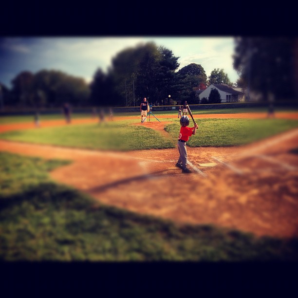
Seth as the lead off hitter. He got a hit off the machine. #little_league #baseball
2013-11-09 (57) Catoctin Furnace

Late Afternoon Light

Sunset sky

Monocacy Battlefield

Monocacy Battlefield
Run with me ! #sunset
#morning #sunrise #Maryland
Country Drivin w/ @mrubee
View of Catoctin Mountain From the East

Absolutely beautiful course. Took this earlier at Whiskey Creek Golf Club.

Monocacy Battlefield
Topographic Map of Bear Creek View Ct, Frederick, MD, USA
Find elevation by address:

Places near Bear Creek View Ct, Frederick, MD, USA:
Walnut Ridge
Millies Delight
2107 Garfield Ct
Warfield
1050 Boyles St
2049 Cohasset Court
2049 Cohasset Court
6600 Fox Meade Ct
Hunter Trail Way
Meadow Dr, Frederick, MD, USA
6601 Hunter Trail Way
2200 E Palace Green Terrace
Clover Hill
618 Wilson Pl
Villa Estates
130 Fairview Ave
140 Fairview Ave
120 Fairview Ave
198 Fairview Ave
100 Fairview Ave
Recent Searches:
- Elevation of Woodland Oak Pl, Thousand Oaks, CA, USA
- Elevation of Brownsdale Rd, Renfrew, PA, USA
- Elevation of Corcoran Ln, Suffolk, VA, USA
- Elevation of Mamala II, Sariaya, Quezon, Philippines
- Elevation of Sarangdanda, Nepal
- Elevation of 7 Waterfall Way, Tomball, TX, USA
- Elevation of SW 57th Ave, Portland, OR, USA
- Elevation of Crocker Dr, Vacaville, CA, USA
- Elevation of Pu Ngaol Community Meeting Hall, HWHM+3X7, Krong Saen Monourom, Cambodia
- Elevation of Royal Ontario Museum, Queens Park, Toronto, ON M5S 2C6, Canada