Elevation of Bear Creek Rd, Upper Lake, CA, USA
Location: United States > California > Lake County > Upper Lake >
Longitude: -122.92132
Latitude: 39.316251
Elevation: 900m / 2953feet
Barometric Pressure: 91KPa
Elevation Map:
Satellite Map:
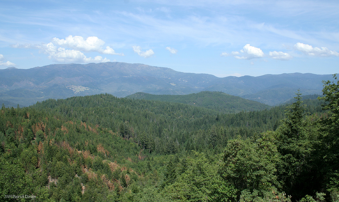
Related Photos:

Blue Slides - Lake County
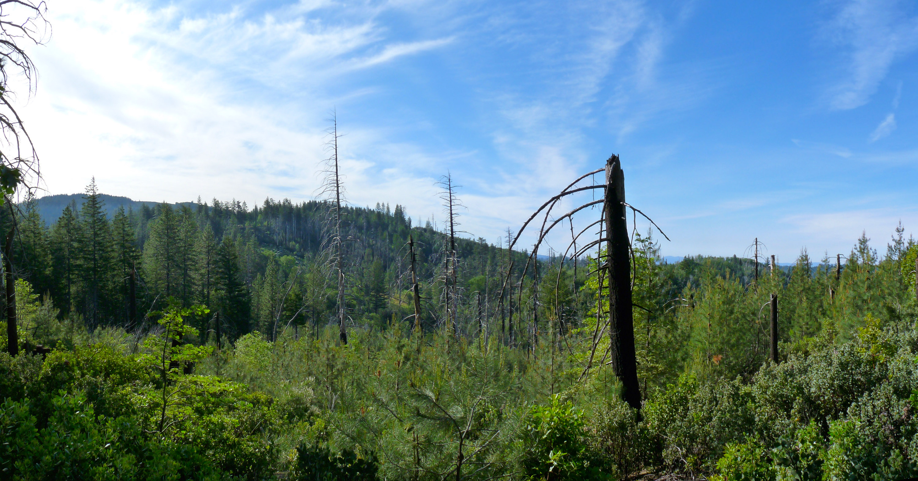
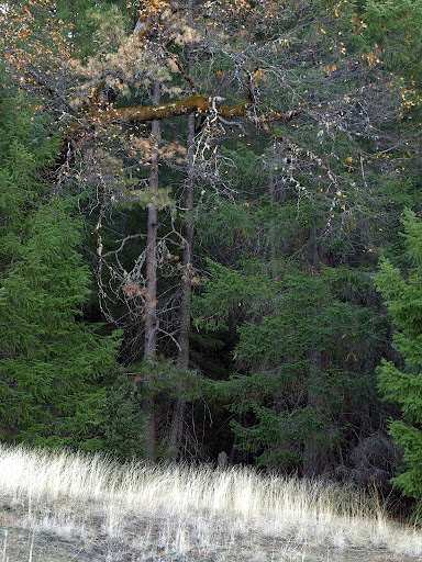
View from the hill above camp
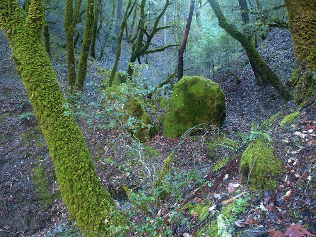
Blue Slides - Lake County
Blue Slides - Lake County

Blue Slides - Lake County

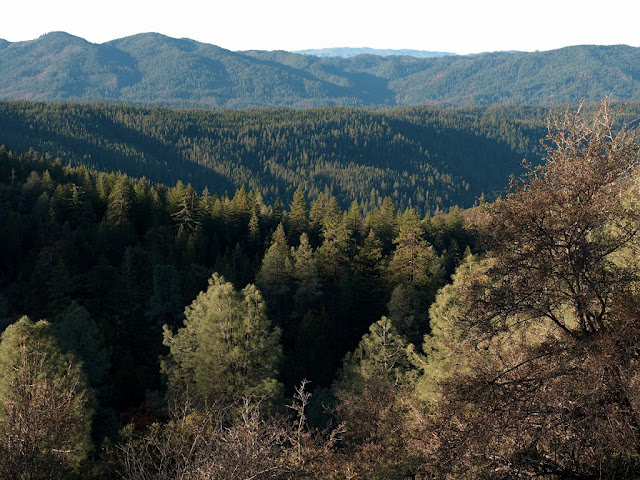
The view from Hull Mountain

The view from Hull Mountain

The view from Hull Mountain

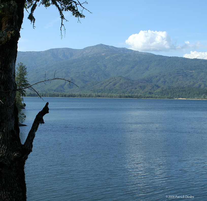
The view of Lake Pillsbury from Hull Mountain

Viewing the Hunters

The view from Hull Mountain

Lake side view

Blue Slides - Lake County
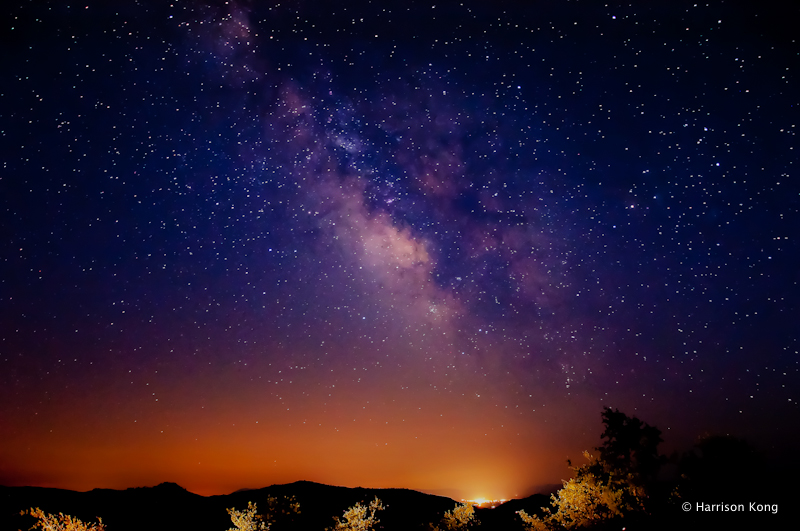
Milky Way over Lakeport
Blue Slides - Lake County
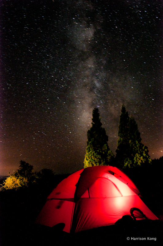
Celestial and Terrestrial Lights
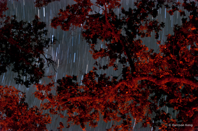
As the World Turns

Summer Milky Way
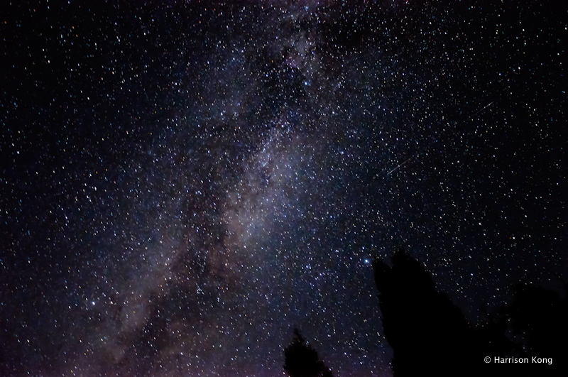
Sky River
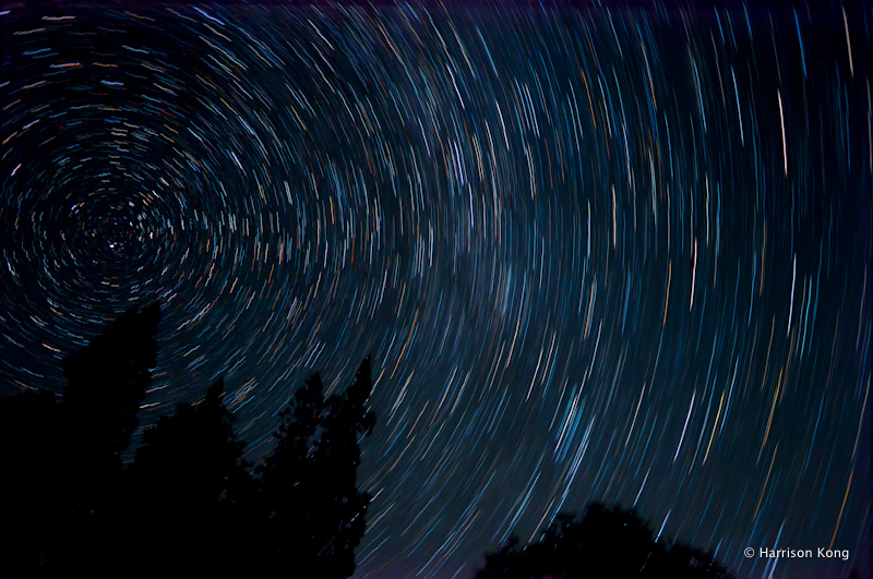
Star Trails around Polaris

The view from Hull Mountain
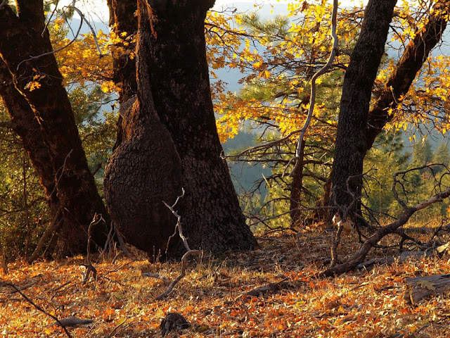
Longing for Summer
Blue Slides - Lake County
Blue Slides - Lake County
Blue Slides - Lake County
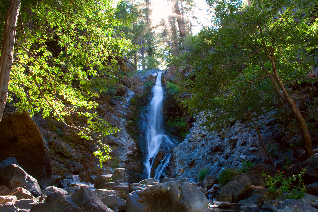
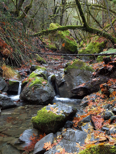
Middle Falls, Stony Creek

Middle Falls, Stony Creek
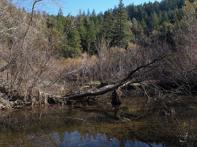
eel river

Blue Slides - Lake County

Middle Falls, Stony Creek
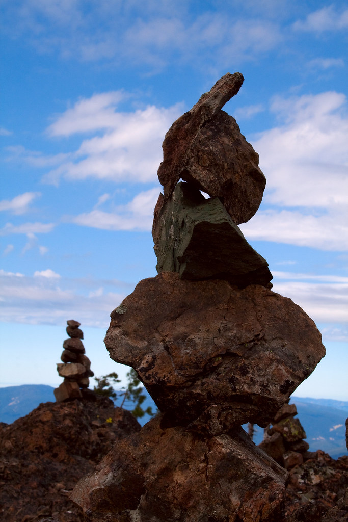
Rock Stacks
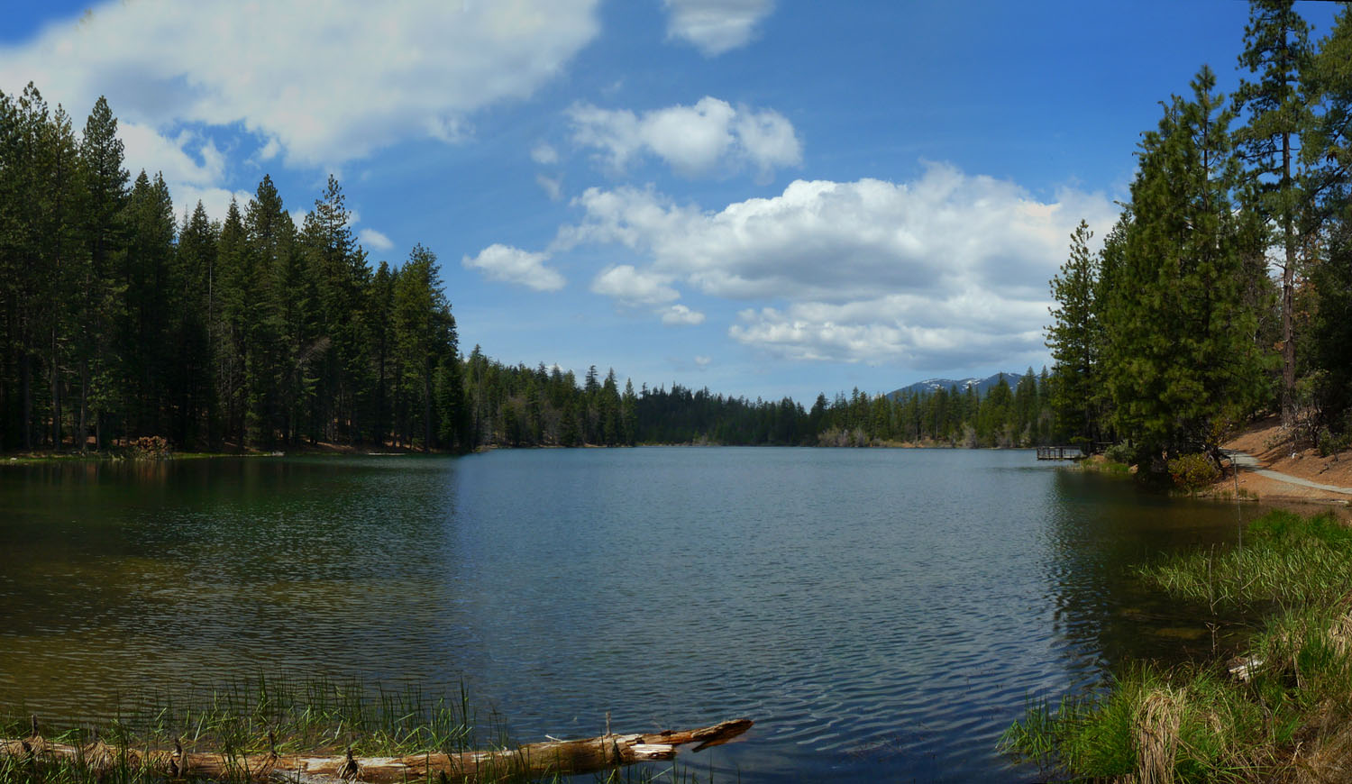
Lett's Lake
Snow Mountain Wilderness
Topographic Map of Bear Creek Rd, Upper Lake, CA, USA
Find elevation by address:

Places near Bear Creek Rd, Upper Lake, CA, USA:
Elk Mountain Road
Bear Creek Rd, Upper Lake, CA, USA
18 N 25 Rd, Upper Lake, CA, USA
Elk Mountain Rd, Upper Lake, CA, USA
Bear Creek Campground
1455 Hunter Point Rd
Pine Mountain Lookout
Bachelor Valley Rd, Witter Springs, CA, USA
Witter Springs
1405 State Hwy 20
Upper Lake
Saratoga Springs Rd, Upper Lake, CA, USA
Twin Valley Rd, Upper Lake, CA, USA
9887 Irvine Ave
E Rd, Redwood Valley, CA, USA
Eastside Potter Valley Road
Potter Valley
7405 Webster St
6855 Floyd Way
Nice
Recent Searches:
- Elevation of Congressional Dr, Stevensville, MD, USA
- Elevation of Bellview Rd, McLean, VA, USA
- Elevation of Stage Island Rd, Chatham, MA, USA
- Elevation of Shibuya Scramble Crossing, 21 Udagawacho, Shibuya City, Tokyo -, Japan
- Elevation of Jadagoniai, Kaunas District Municipality, Lithuania
- Elevation of Pagonija rock, Kranto 7-oji g. 8"N, Kaunas, Lithuania
- Elevation of Co Rd 87, Jamestown, CO, USA
- Elevation of Tenjo, Cundinamarca, Colombia
- Elevation of Côte-des-Neiges, Montreal, QC H4A 3J6, Canada
- Elevation of Bobcat Dr, Helena, MT, USA