Elevation of Bean Creek NSW, Australia
Location: Australia > New South Wales >
Longitude: 152.589597
Latitude: -28.576623
Elevation: -10000m / -32808feet
Barometric Pressure: 295KPa
Elevation Map:
Satellite Map:
Related Photos:

Lot 4 Beaury Creek Loop, URBENVILLE, NSW 2475, Australia (1 Beds, 1 Baths)

Balarng / Castle Mountain

Callawajune Mountain
Boomi Creek

roadtrip 2011 750

Tooloom Falls day 2_10

Ivy Gate

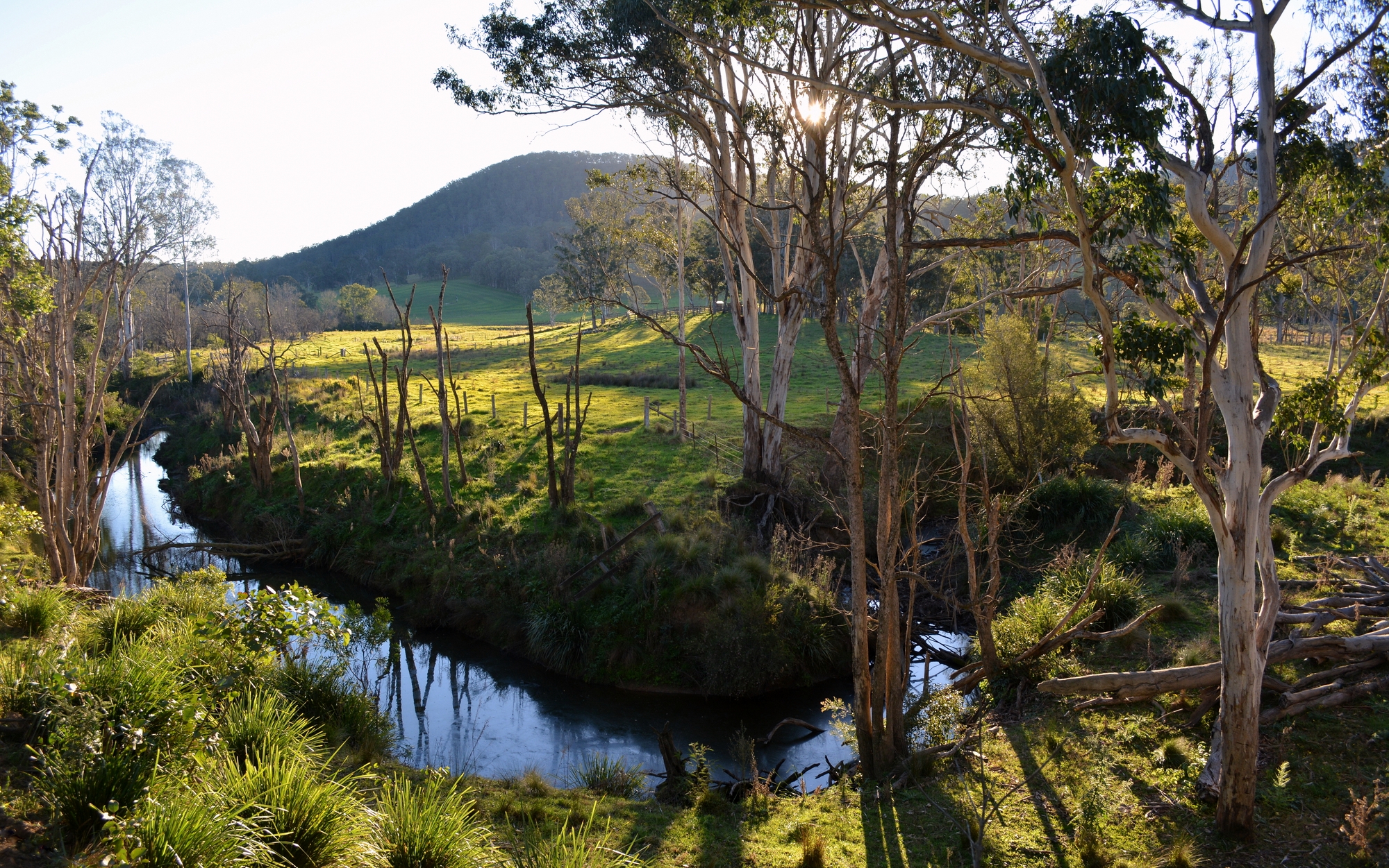
last light on Mearimb

greys in the green
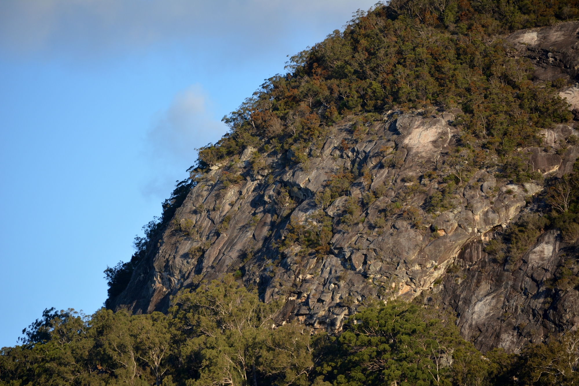
Mearimb / Coutts Crown north face
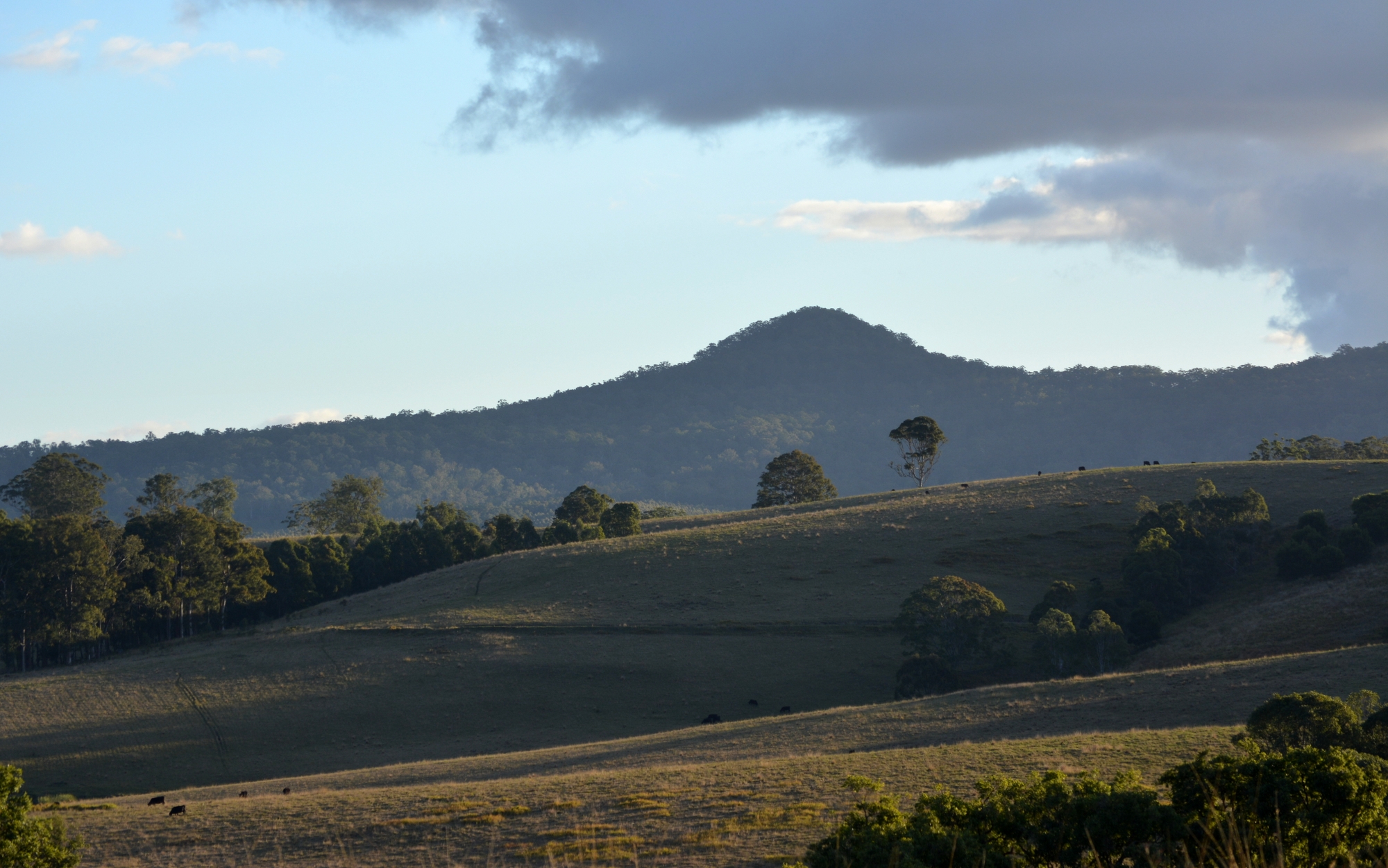
Wallaby Knob
Topographic Map of Bean Creek NSW, Australia
Find elevation by address:

Places near Bean Creek NSW, Australia:
Kyogle Council
Roseberry Creek
936-938 Roseberry Creek Rd
Gorge Creek Road
750 Roseberry Creek Rd
Grevillia
Ettrick
Knights Road
Carr's Lookout
The Falls
Border Road
872 Condamine River Rd
7 Adjinbilly Rd
7 Adjinbilly Rd
7 Adjinbilly Rd
7 Adjinbilly Rd
327 Ogilvie Dr
Killarney
Grayson Road
Palen Creek
Recent Searches:
- Elevation of Suffield, AB T0J 2N0, Canada
- Elevation of Coan West, Coon West, Co. Kilkenny, Ireland
- Elevation of 8 Rue Raoul Dufy, Collioure, France
- Elevation of 6 Muir St, Medowie NSW, Australia
- Elevation of Woodland Road, Woodland Rd, Lee, MA, USA
- Elevation of Turner Mill Rd, Talladega, AL, USA
- Elevation of Wylie Ridge Rd, New Cumberland, WV, USA
- Elevation of Dogwood Ln, Millsboro, DE, USA
- Elevation of Paseo Lucido, San Diego, CA, USA
- Elevation of W S, Orem, UT, USA