Elevation of Bc Hunter Rd, Warrensville, NC, USA
Location: United States > North Carolina > Ashe County > Clifton > Warrensville >
Longitude: -81.523809
Latitude: 36.446492
Elevation: 887m / 2910feet
Barometric Pressure: 91KPa
Elevation Map:
Satellite Map:
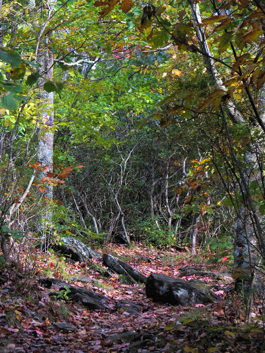
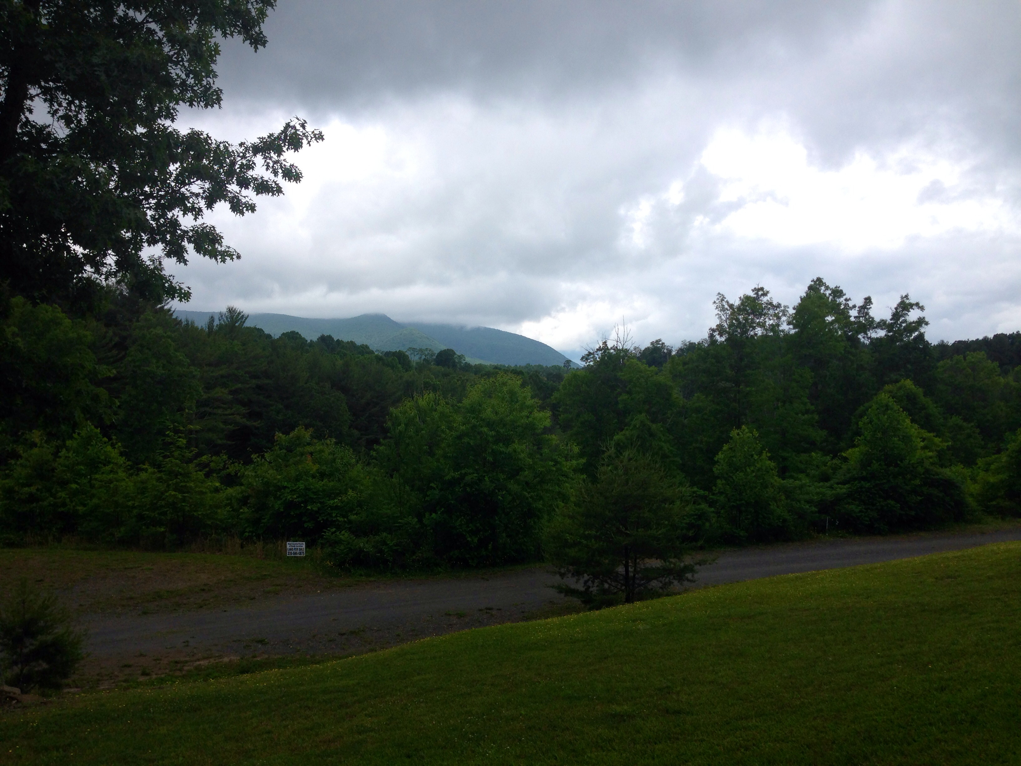
Related Photos:

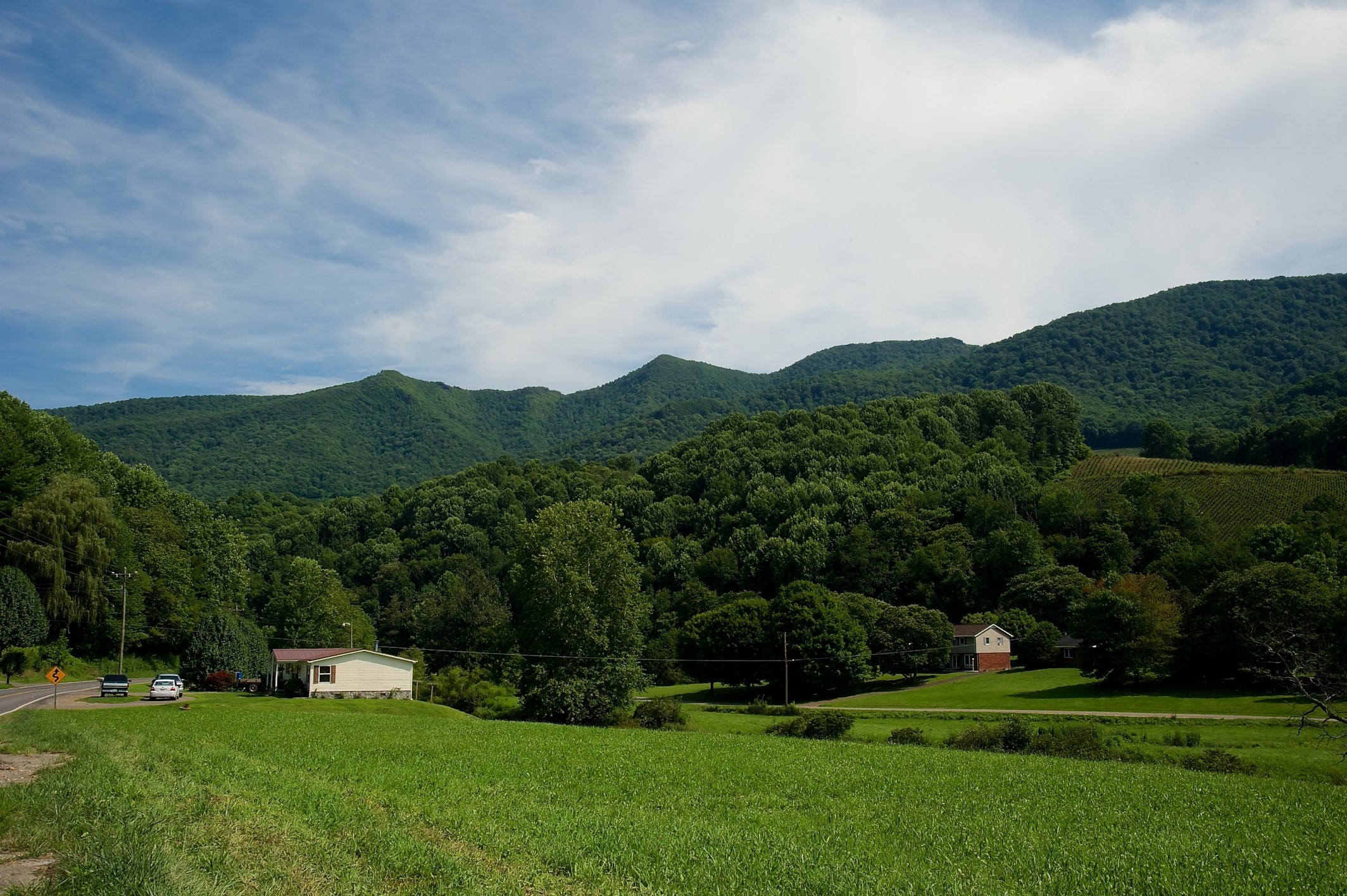
Log Cabin Panorama - Daytime

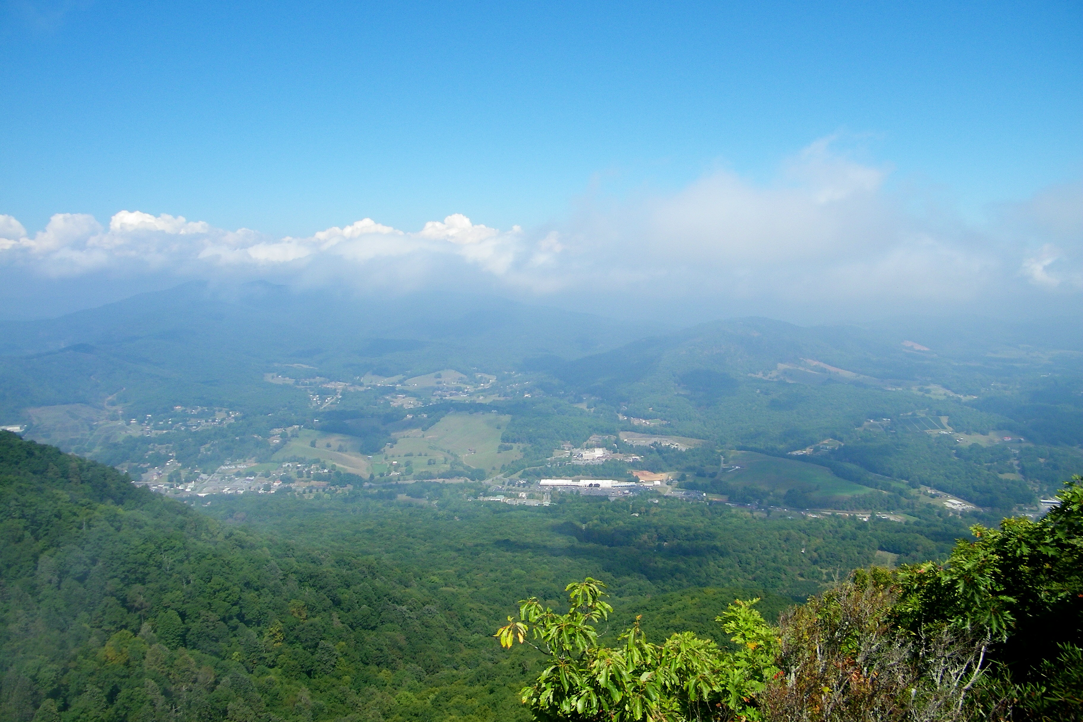
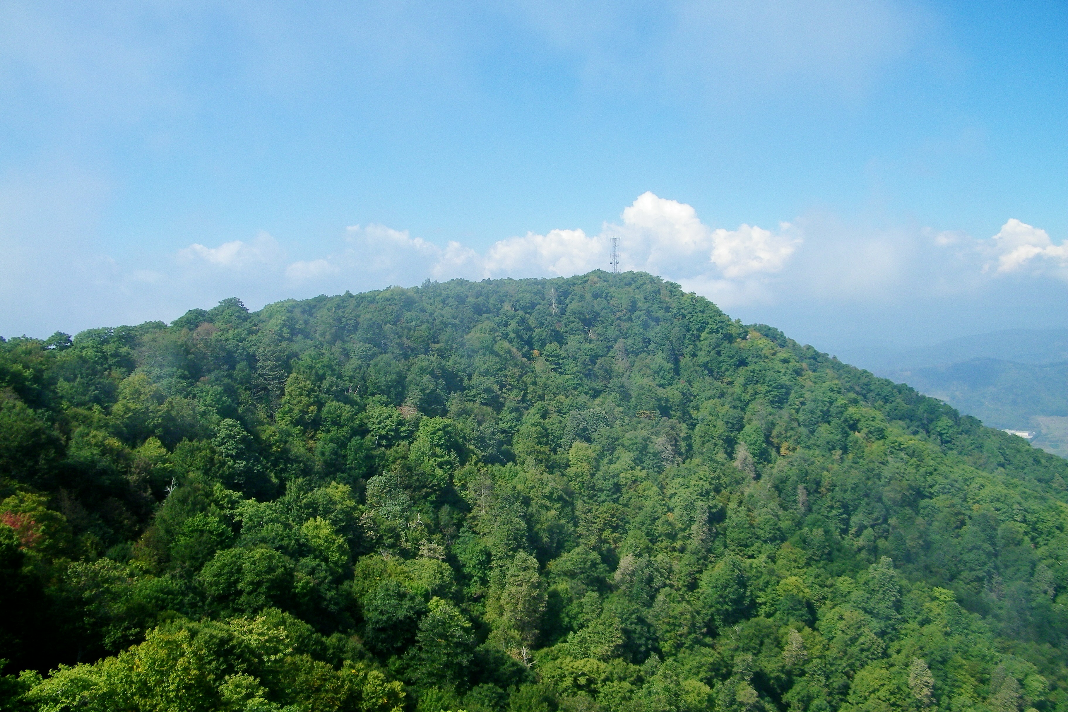
View Along W4C/EM-014 - Three Top Mountain Ridge Line
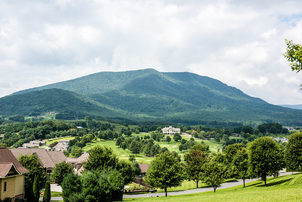
Mount Jefferson State Natural Area
Mount Jefferson State Natural Area

Mount Jefferson State Natural Area
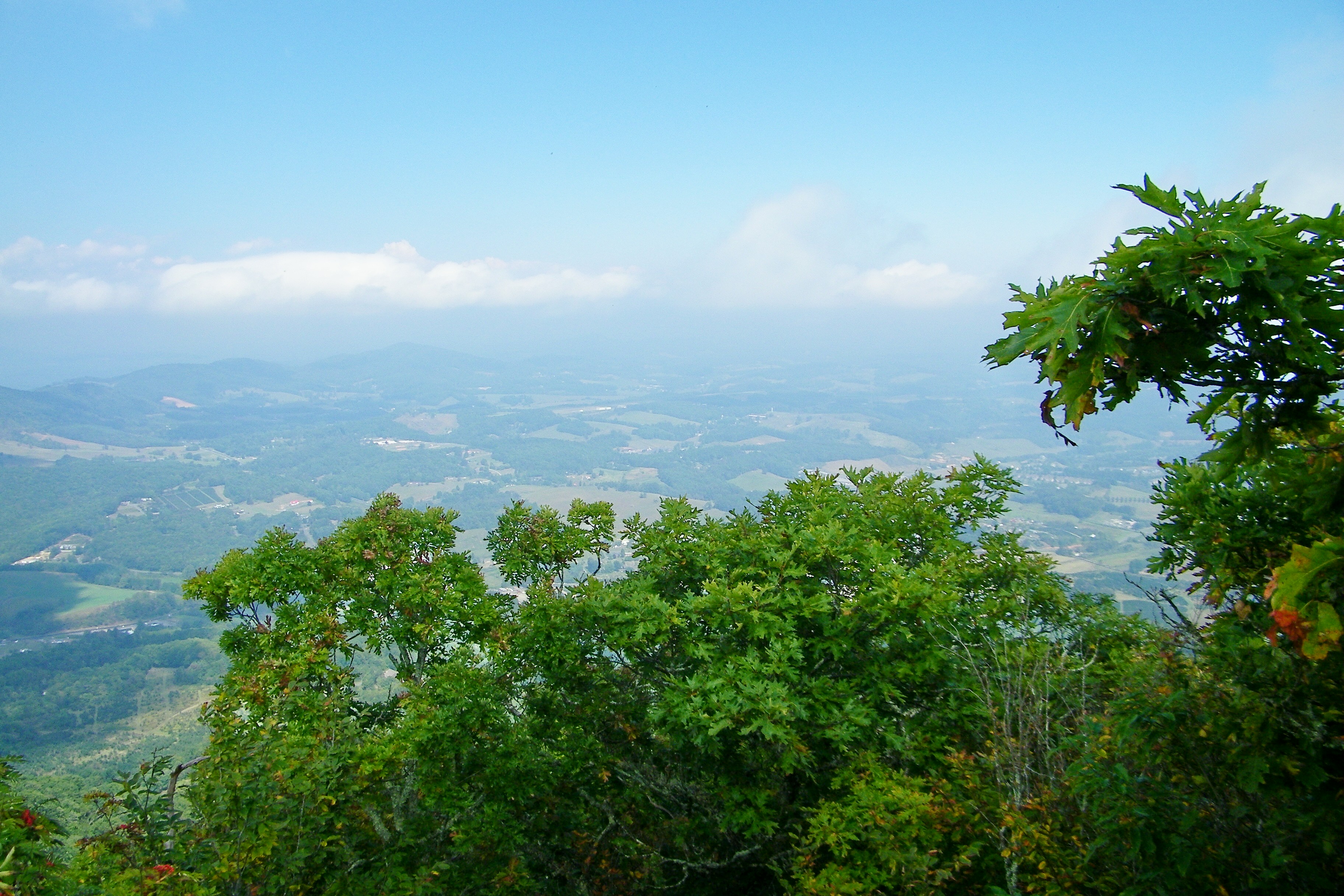
Mount Jefferson State Natural Area
Mount Jefferson State Natural Area
Mount Jefferson State Natural Area
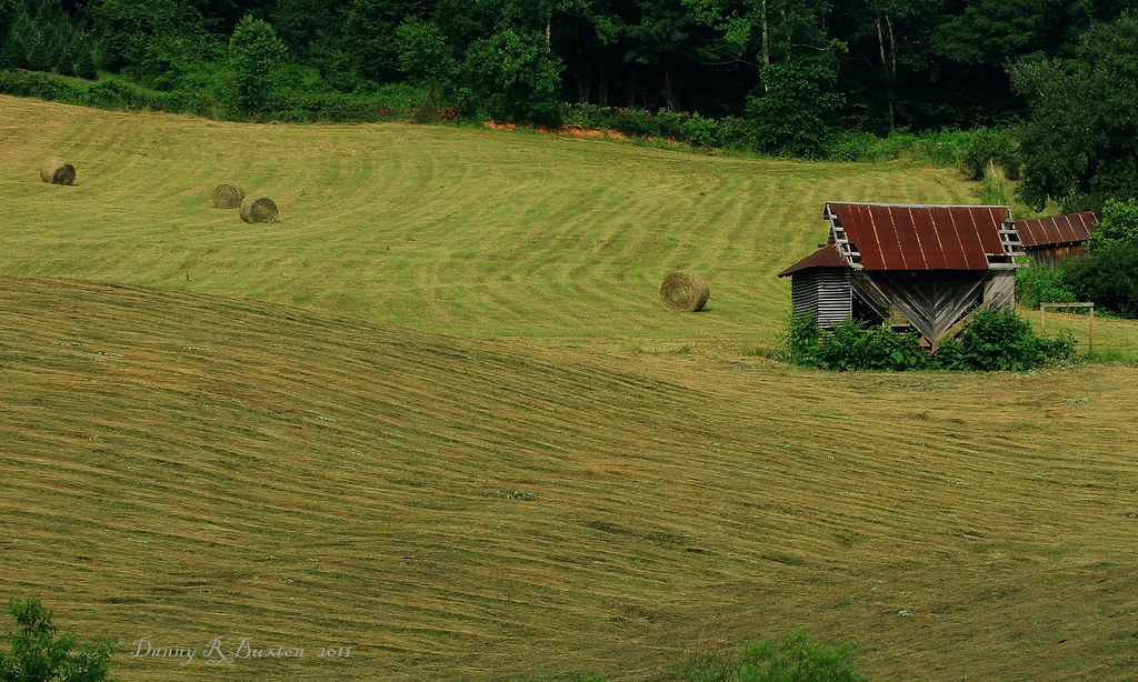
Making Hay 185/365

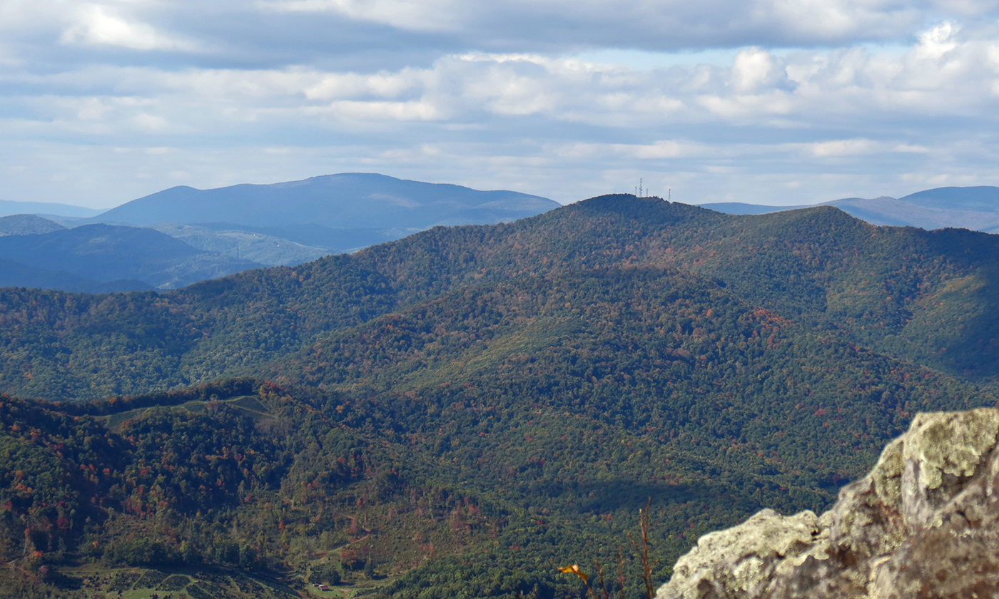
Luther Rock View
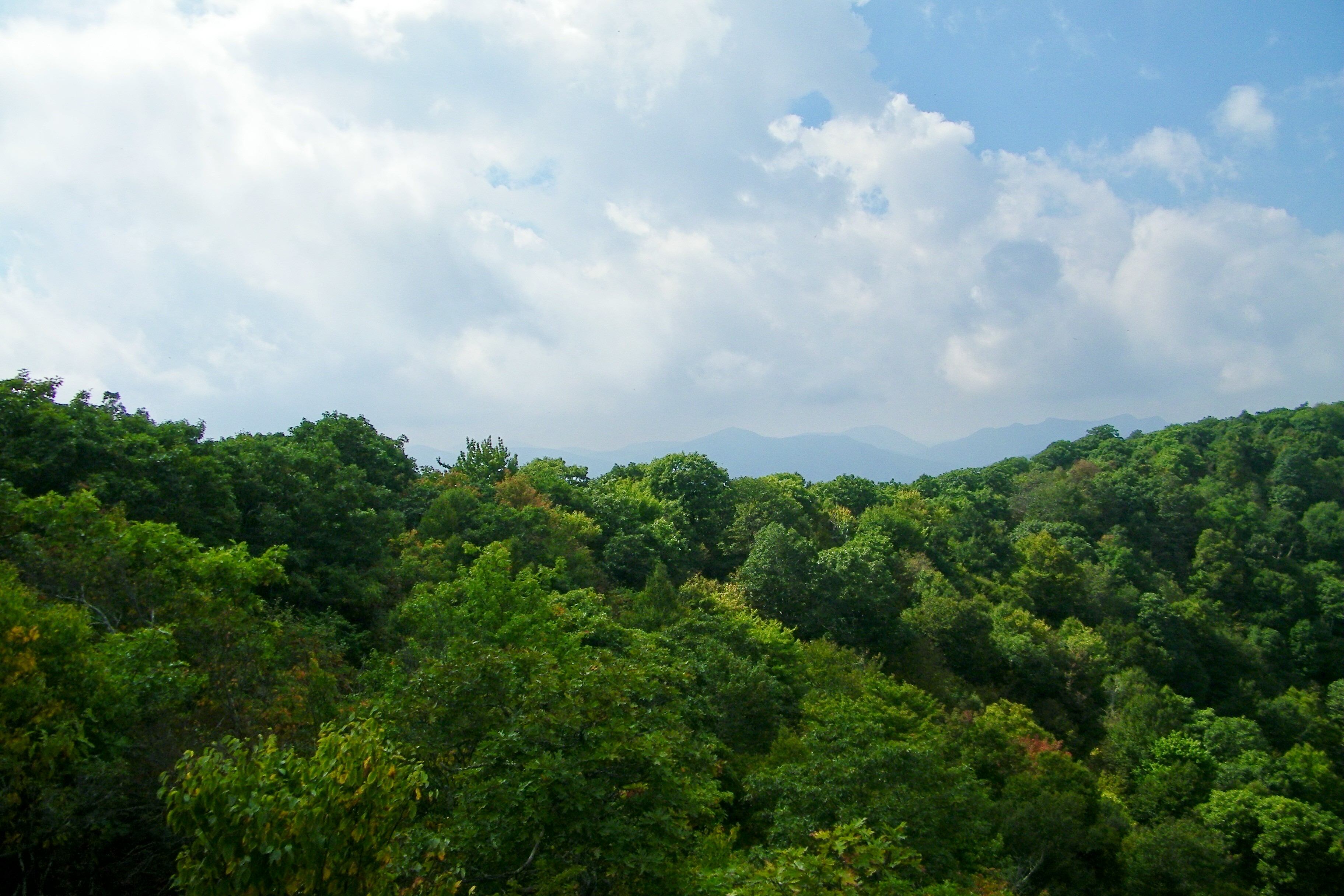
Early Fall in the Southern Appalachians
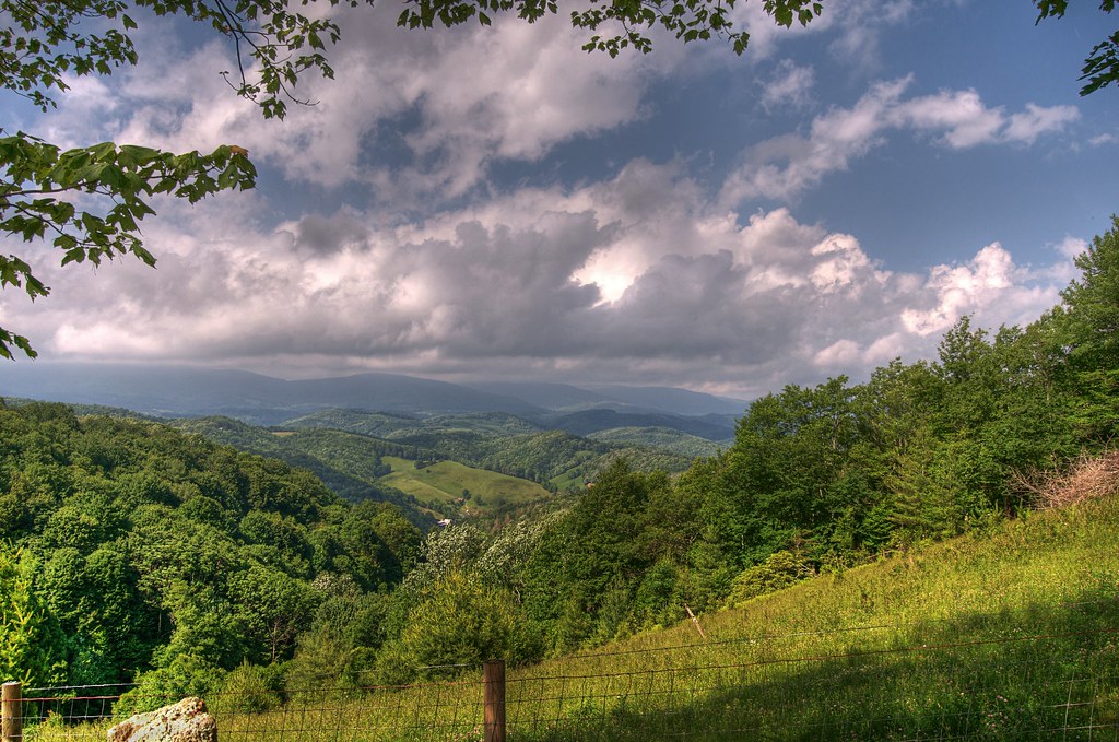
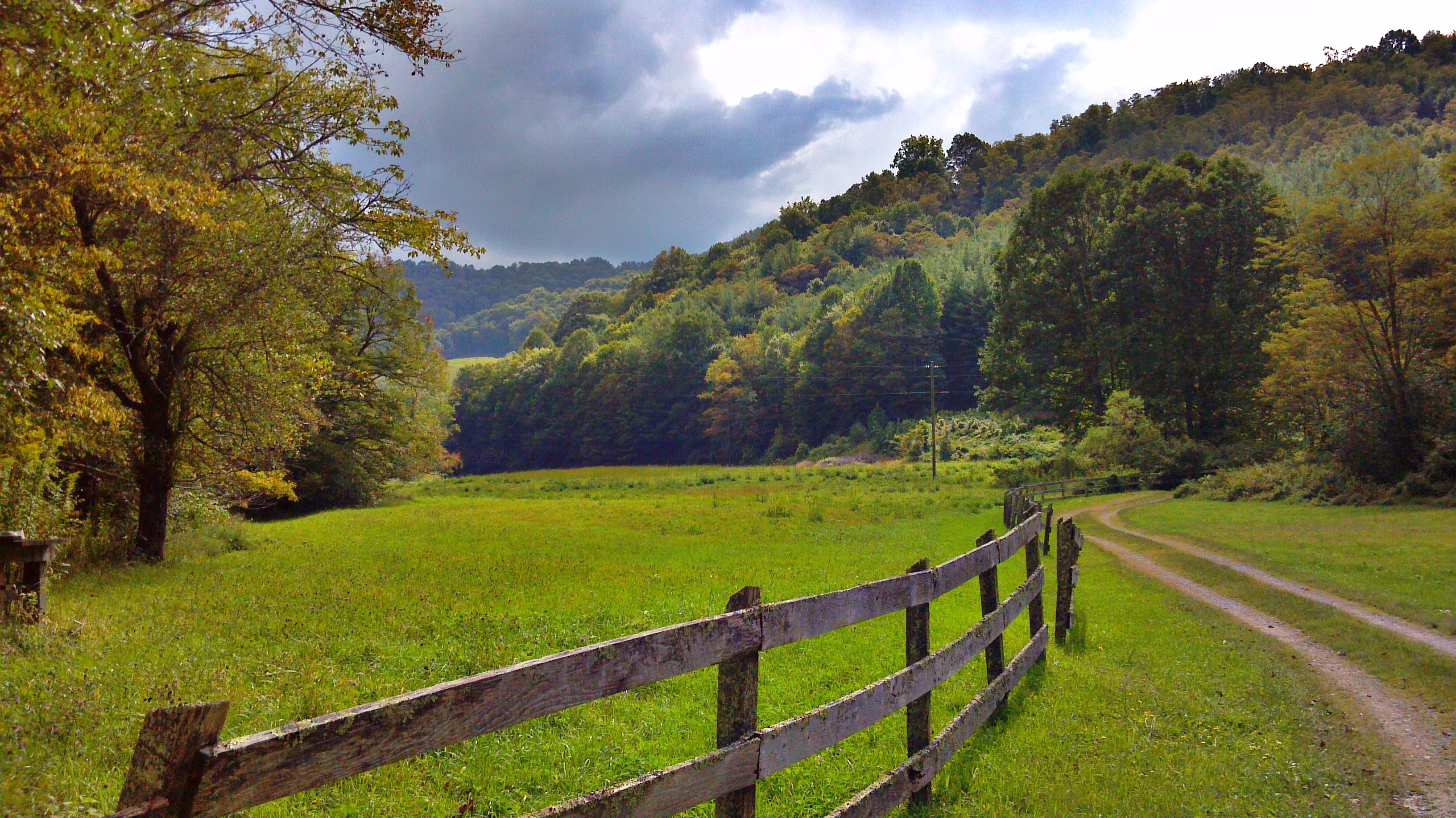
Whenlin Ridge
View of W4C/EM-014 - Three Top Mountain

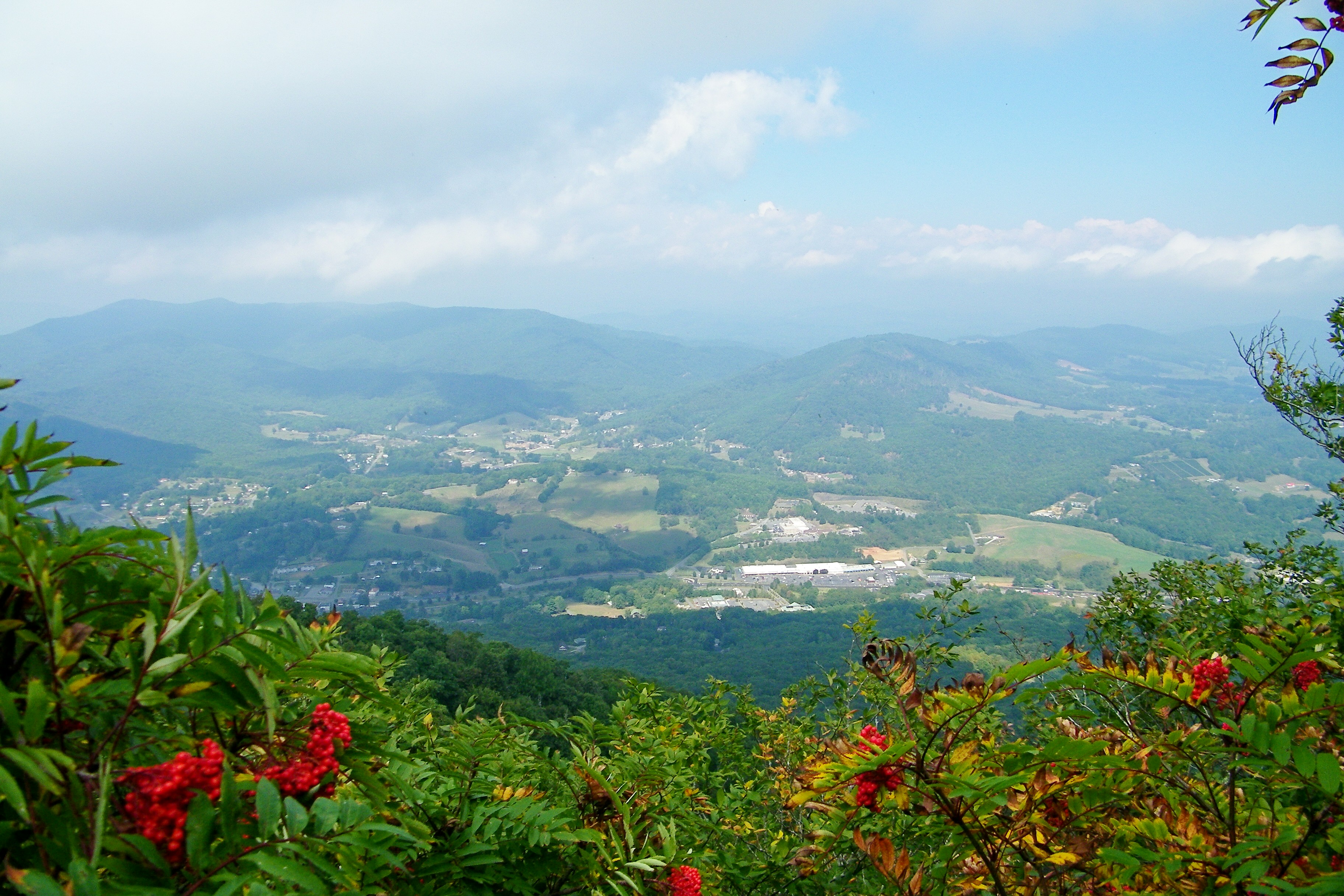
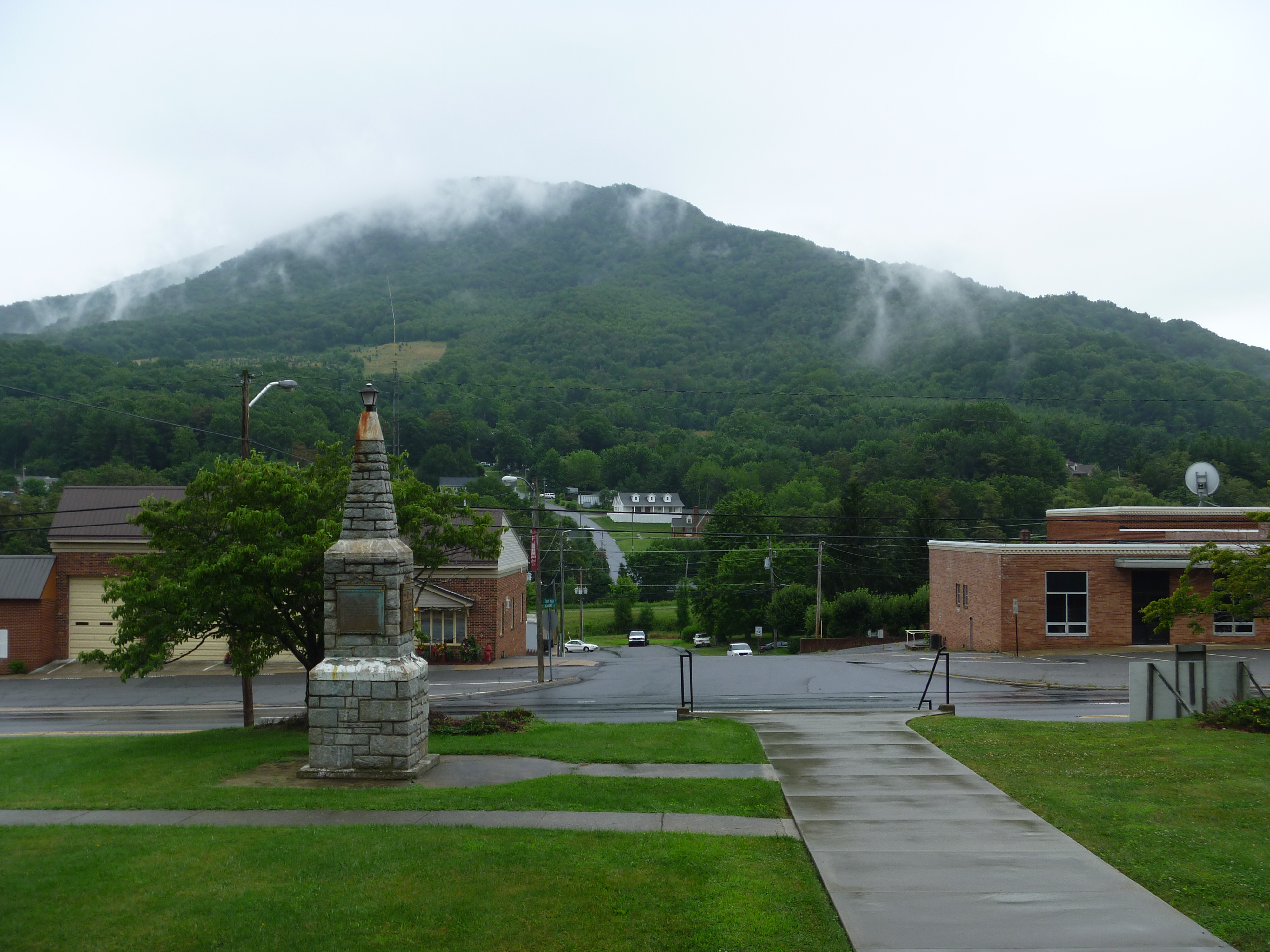
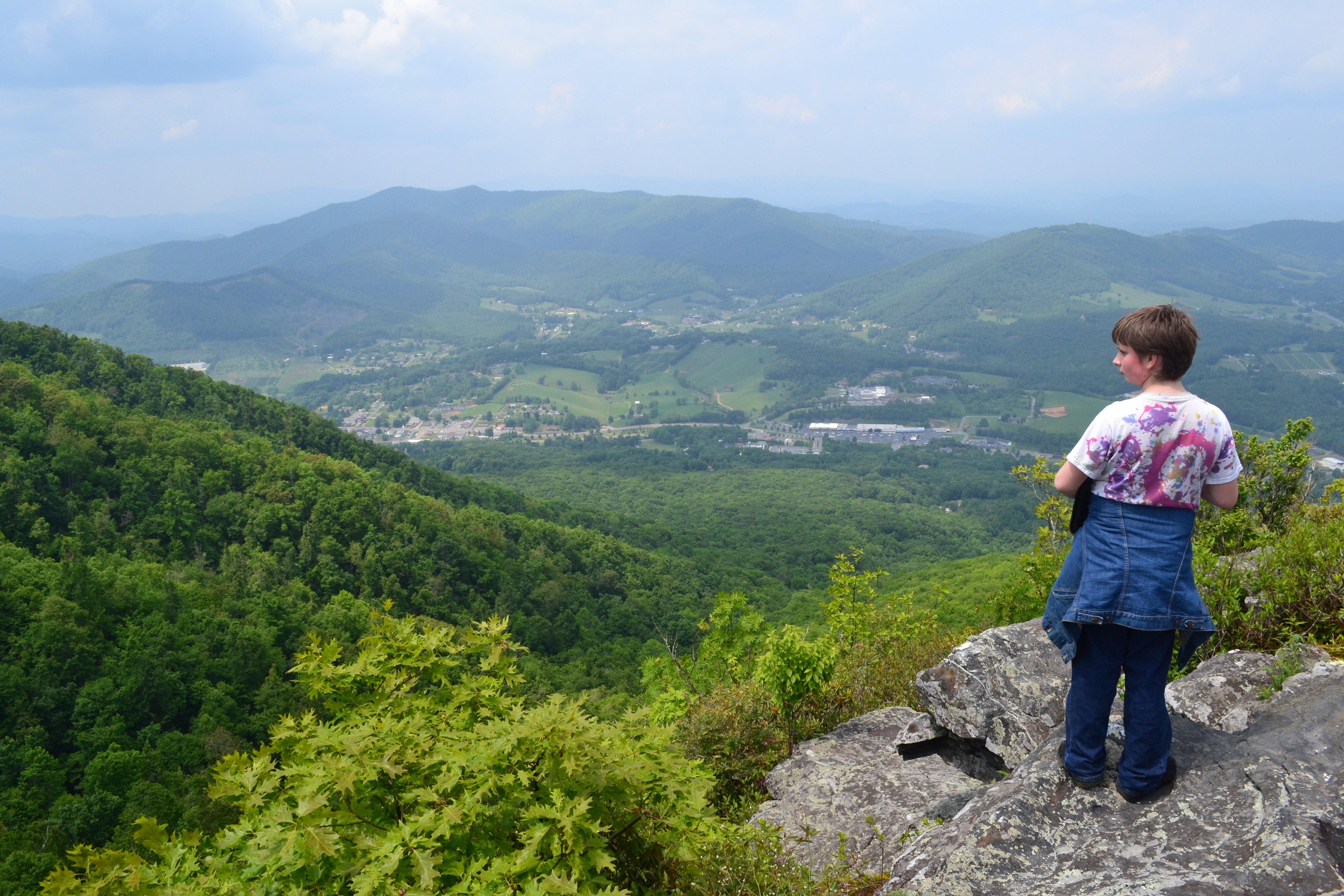
Views From Mt Jefferson, Ashe County

view from up the hill

View of W4C/EM-014 - Three Top Mountain

my current view
the view
My view at the park.
Mount Jefferson
View on the Mount Jefferson TRACK Trail

Chicory 183/365
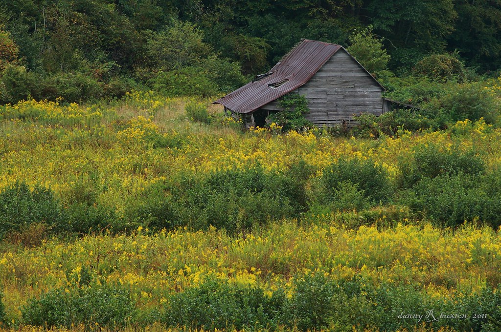
Old Barn & Goldenrod 261/365

Photo Mar 01, 5 04 24 PM
C360_2011-09-09 15-47-07
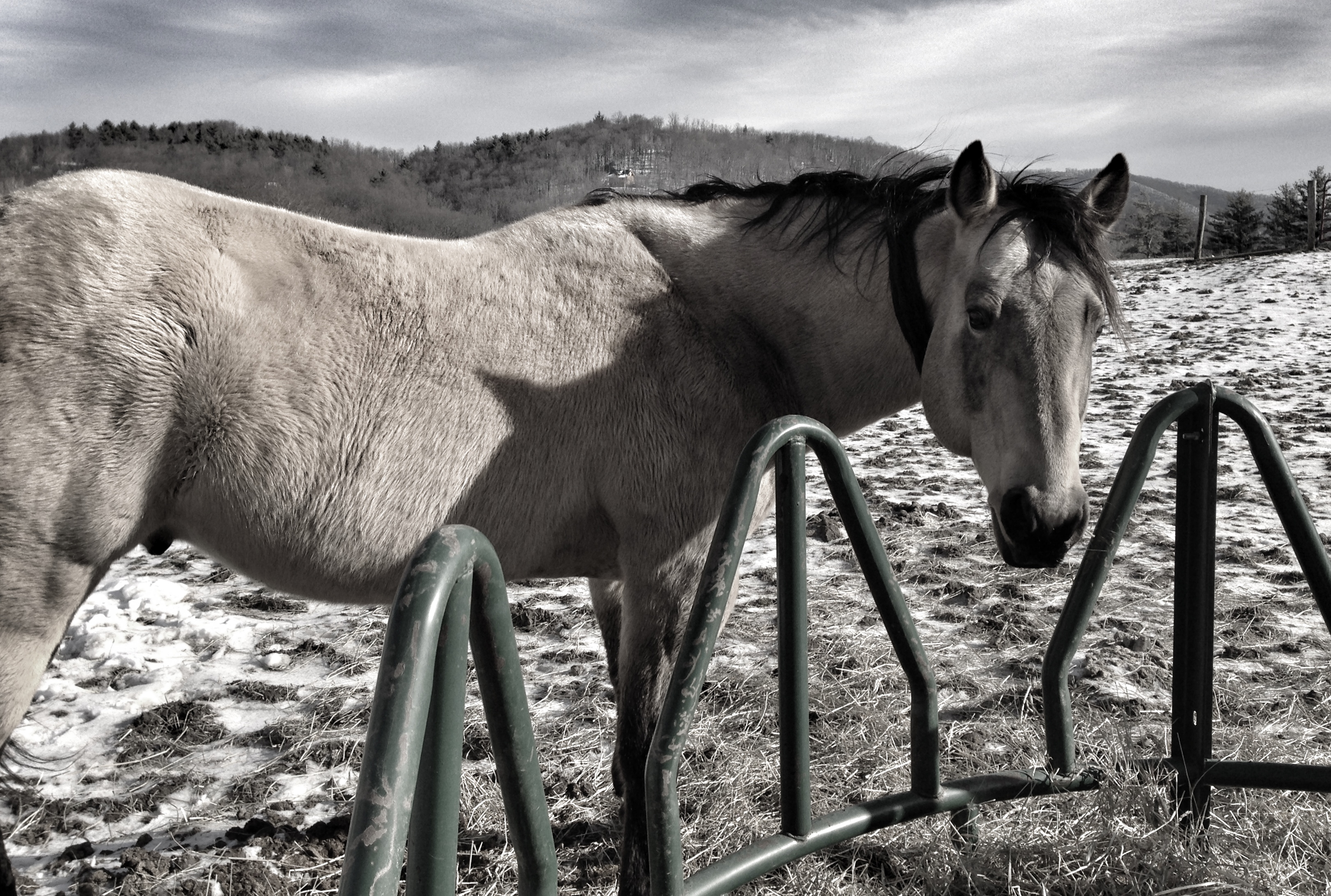
Leave me alone and let me eat in peace

Photo Mar 01, 4 06 24 PM

Photo Mar 01, 4 59 01 PM

Photo Mar 01, 4 07 05 PM
Fall Hike at Mount Jefferson

Photo Mar 01, 4 06 42 PM
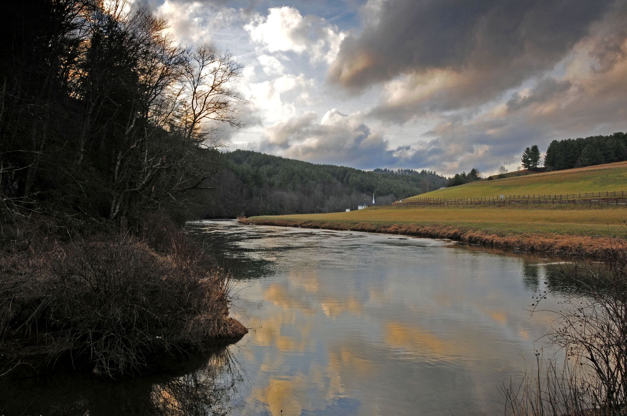
The New River
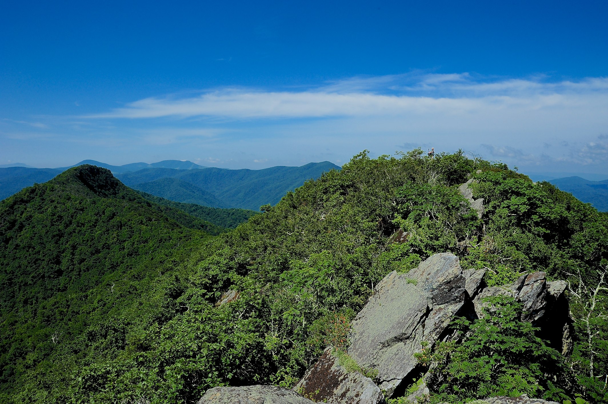
W4C/EM-014 - Three Top Mountain Summit
2014 Ashe County, Black Jack & highland hills. Disc Golf weekend.
Topographic Map of Bc Hunter Rd, Warrensville, NC, USA
Find elevation by address:

Places near Bc Hunter Rd, Warrensville, NC, USA:
2926 Nc-88
Warrensville
Hickory Trail
276 Lewis Rd
317 Stanley Rd
1748 Elliott Rd
10 Old Buffalo Rd
315 Stanley Rd
1199 Elliott Rd
Lewis Road
966 Stanley Rd
966 Stanley Rd
6383 Nc-88
399 River Rock Rd
651 Falls Ln
295 Clint Gilley Rd
Clint Gilley Road
290 Chandler Rd
Staggs Creek Road
1653 Claybank Rd
Recent Searches:
- Elevation of SW 57th Ave, Portland, OR, USA
- Elevation of Crocker Dr, Vacaville, CA, USA
- Elevation of Pu Ngaol Community Meeting Hall, HWHM+3X7, Krong Saen Monourom, Cambodia
- Elevation of Royal Ontario Museum, Queens Park, Toronto, ON M5S 2C6, Canada
- Elevation of Groblershoop, South Africa
- Elevation of Power Generation Enterprises | Industrial Diesel Generators, Oak Ave, Canyon Country, CA, USA
- Elevation of Chesaw Rd, Oroville, WA, USA
- Elevation of N, Mt Pleasant, UT, USA
- Elevation of 6 Rue Jules Ferry, Beausoleil, France
- Elevation of Sattva Horizon, 4JC6+G9P, Vinayak Nagar, Kattigenahalli, Bengaluru, Karnataka, India