Elevation of BC-3, Keremeos, BC V0X 1N1, Canada
Location: Canada > British Columbia > Okanagan-similkameen > Keremeos >
Longitude: -120.00817
Latitude: 49.2544735
Elevation: 515m / 1690feet
Barometric Pressure: 95KPa
Elevation Map:
Satellite Map:
Related Photos:

View from my lunchspot today...

Fall display at the Peach King fruit stand

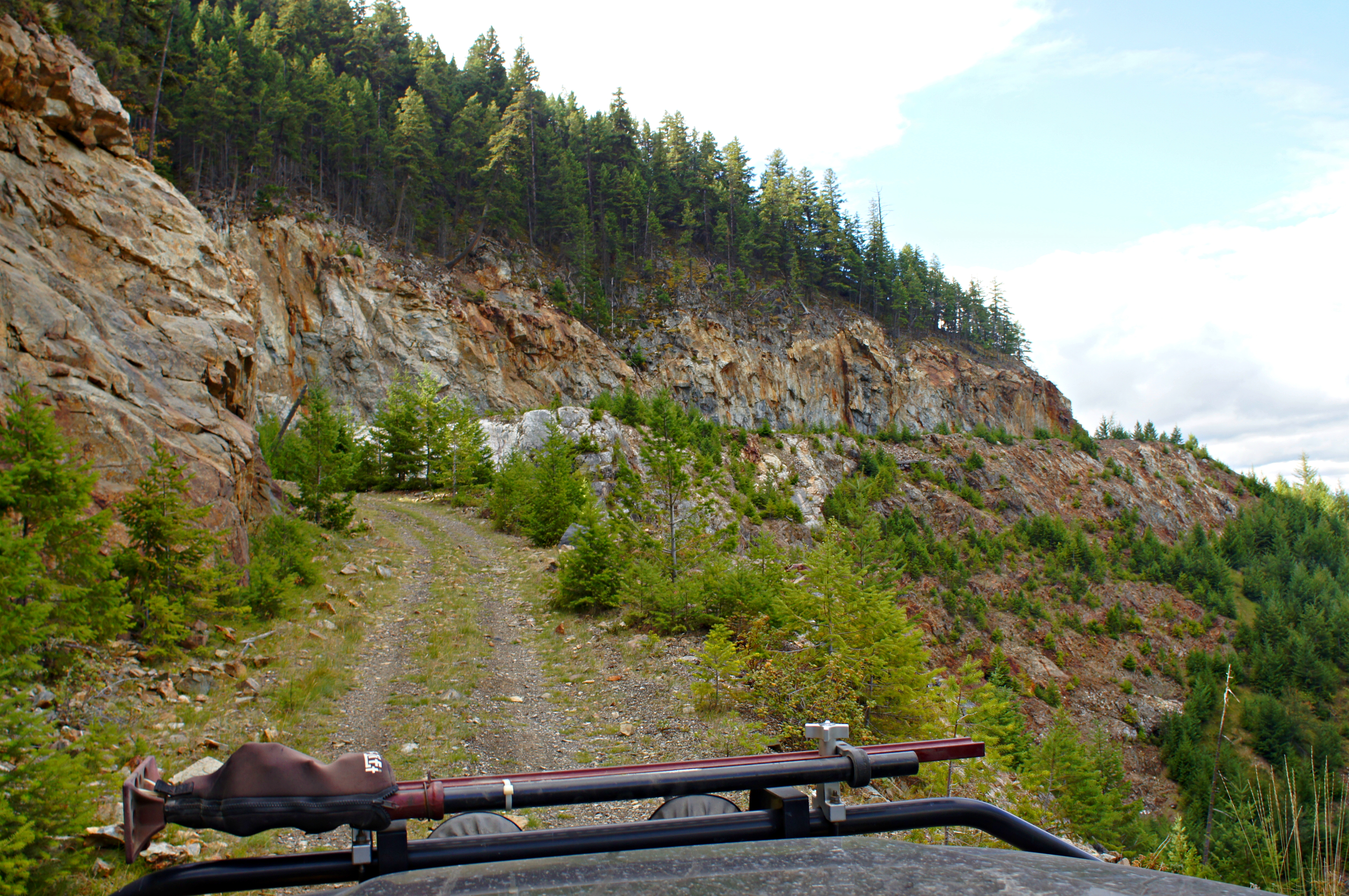
Aerial Overview of Rockfall
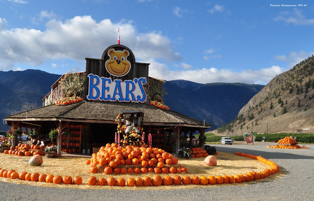
Fall display at the Bear's Fruit stand

Fall display at the Bear's Fruit stand
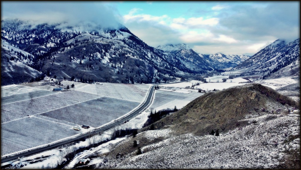
A View Up The Valley

Looking towards Crater Mtn

Keremeos View North

View towards Crater

A View to the North West

Lonely church (Image 1)

Lonely church (Image 2)

A View From the Riverbank

View of Keremeos

View From the Bench

Alluvial Fan

St Anne's Church, Chuchuwayha, British Columbia

Mascot Gold Mine

Nickel Plate Mountain

Okanagan Farmland

Yellow lake

Mascot Mine

Similkameen River Valley

Similkameen River Valley

Whitehead Lake

Mascot Mine

Similkameen River Valley

Mascot Mine

Old Gold Mine

Day 261: Similkameen Clouds

Nickel Plate Mountain

Aerial Tramway Base

MAX Winglet Sunset

Mascot Mine
Nickel Plate Mountain

Similkameen River Valley
Topographic Map of BC-3, Keremeos, BC V0X 1N1, Canada
Find elevation by address:

Places near BC-3, Keremeos, BC V0X 1N1, Canada:
4354 Bc-3
983 Richter Ave
Hedley
712 Daly Ave
1233 Scott Ave
Apex Mountain
6169 Bc-3
6177 Bc-3
6177 Bc-3
6177 Bc-3
6177 Bc-3
165 Snow Mountain Pl
Apex Mountain Resort
6257 Bc-3
6257 Bc-3
6257 Bc-3
Olalla
2405 Old Hedley Rd
2405 Old Hedley Rd
1618 White Lake Rd
Recent Searches:
- Elevation of Shibuya Scramble Crossing, 21 Udagawacho, Shibuya City, Tokyo -, Japan
- Elevation of Jadagoniai, Kaunas District Municipality, Lithuania
- Elevation of Pagonija rock, Kranto 7-oji g. 8"N, Kaunas, Lithuania
- Elevation of Co Rd 87, Jamestown, CO, USA
- Elevation of Tenjo, Cundinamarca, Colombia
- Elevation of Côte-des-Neiges, Montreal, QC H4A 3J6, Canada
- Elevation of Bobcat Dr, Helena, MT, USA
- Elevation of Zu den Ihlowbergen, Althüttendorf, Germany
- Elevation of Badaber, Peshawar, Khyber Pakhtunkhwa, Pakistan
- Elevation of SE Heron Loop, Lincoln City, OR, USA