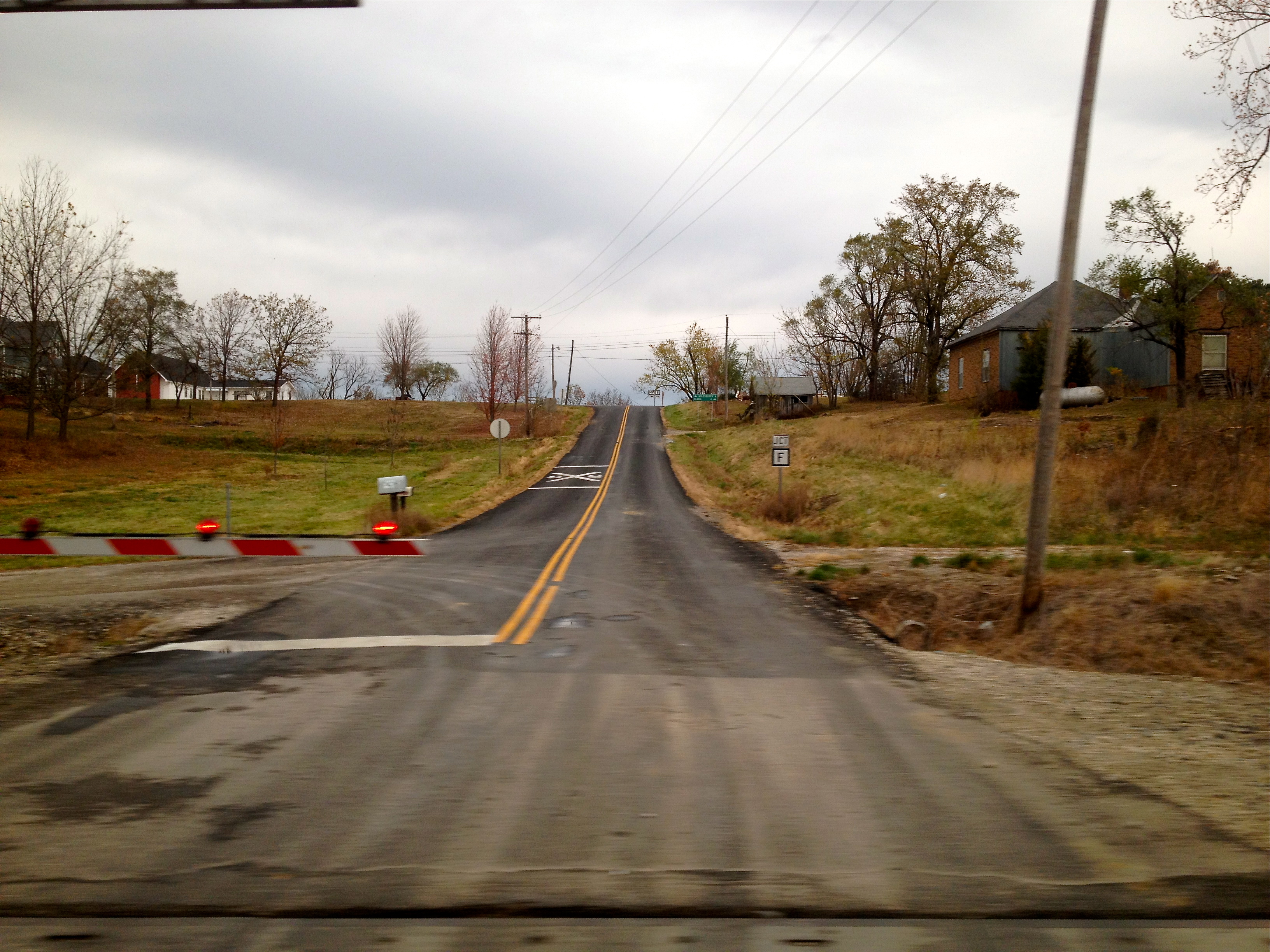
Elevation of Bayport Ave, Ethel, MO, USA
Location: United States > Missouri > Macon County > White Township > Ethel >
Longitude: -92.779633
Latitude: 39.858457
Elevation: 250m / 820feet
Barometric Pressure: 98KPa
Elevation Map:
Satellite Map:
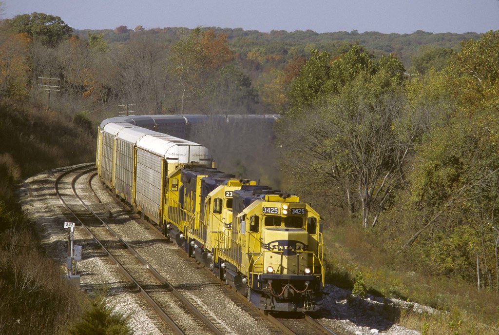
Related Photos:

Conrail Dash 8 at Ethel

BNSF 6863 - 6/15/2014
Views From Amtrak
EB near Hart Mo

2013-07-04 20.16.46

2013-07-04 20.30.52

2013-07-04 20.29.49

2013-07-04 20.17.58

2013-07-04 20.28.58

2013-07-04 20.29.48

2013-07-04 20.29.53
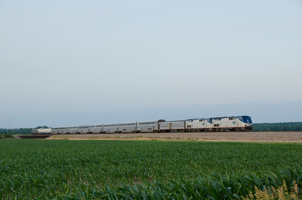
Amtrak 181 W TR3 SWC Chariton River Valley MO June 10 2012

2013-07-04 20.28.35
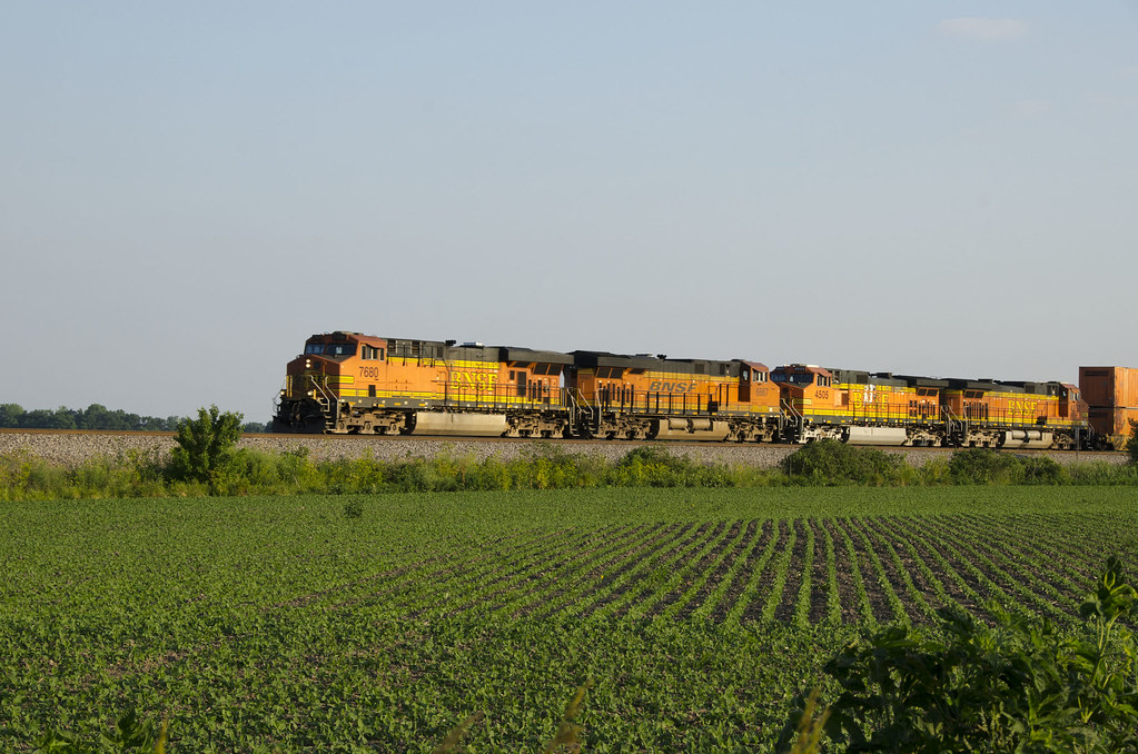
BNSF 7680 EB Chariton River Valley MO June 10 2012

2013-07-04 20.29.19
Topographic Map of Bayport Ave, Ethel, MO, USA
Find elevation by address:

Places near Bayport Ave, Ethel, MO, USA:
Russell Township
Ethel
Valley Township
Valley Township
Valley Township
Valley Township
Valley Township
Eagle Ave, New Cambria, MO, USA
State Hwy EE, Callao, MO, USA
State Hwy OO, Atlanta, MO, USA
Ivory St, Bevier, MO, USA
Macon County
Bevier
S Macon St, Bevier, MO, USA
Bevier Township
Bevier Township
Bevier Township
Bevier Township
Bevier Township
Bevier Township
Recent Searches:
- Elevation of Felindre, Swansea SA5 7LU, UK
- Elevation of Leyte Industrial Development Estate, Isabel, Leyte, Philippines
- Elevation of W Granada St, Tampa, FL, USA
- Elevation of Pykes Down, Ivybridge PL21 0BY, UK
- Elevation of Jalan Senandin, Lutong, Miri, Sarawak, Malaysia
- Elevation of Bilohirs'k
- Elevation of 30 Oak Lawn Dr, Barkhamsted, CT, USA
- Elevation of Luther Road, Luther Rd, Auburn, CA, USA
- Elevation of Unnamed Road, Respublika Severnaya Osetiya — Alaniya, Russia
- Elevation of Verkhny Fiagdon, North Ossetia–Alania Republic, Russia