Elevation of Bay Springs Church Road, McRae, GA, USA
Location: United States > Georgia > Wheeler County > Alamo >
Longitude: -82.838678
Latitude: 32.0852621
Elevation: 73m / 240feet
Barometric Pressure: 100KPa
Elevation Map:
Satellite Map:
Related Photos:
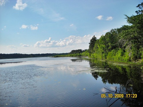
A day at the State Park
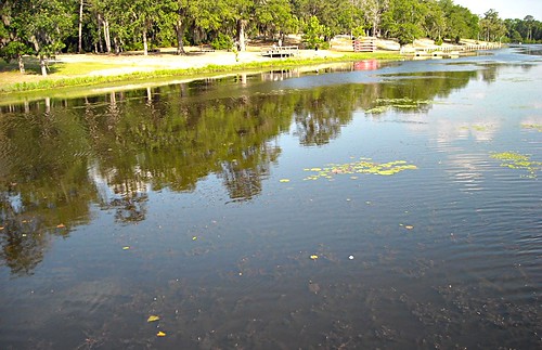
A day at the State Park
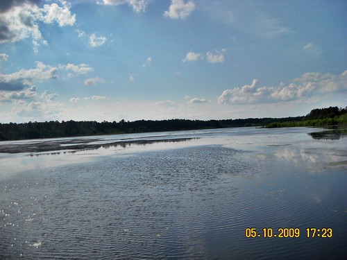
A day at the State Park
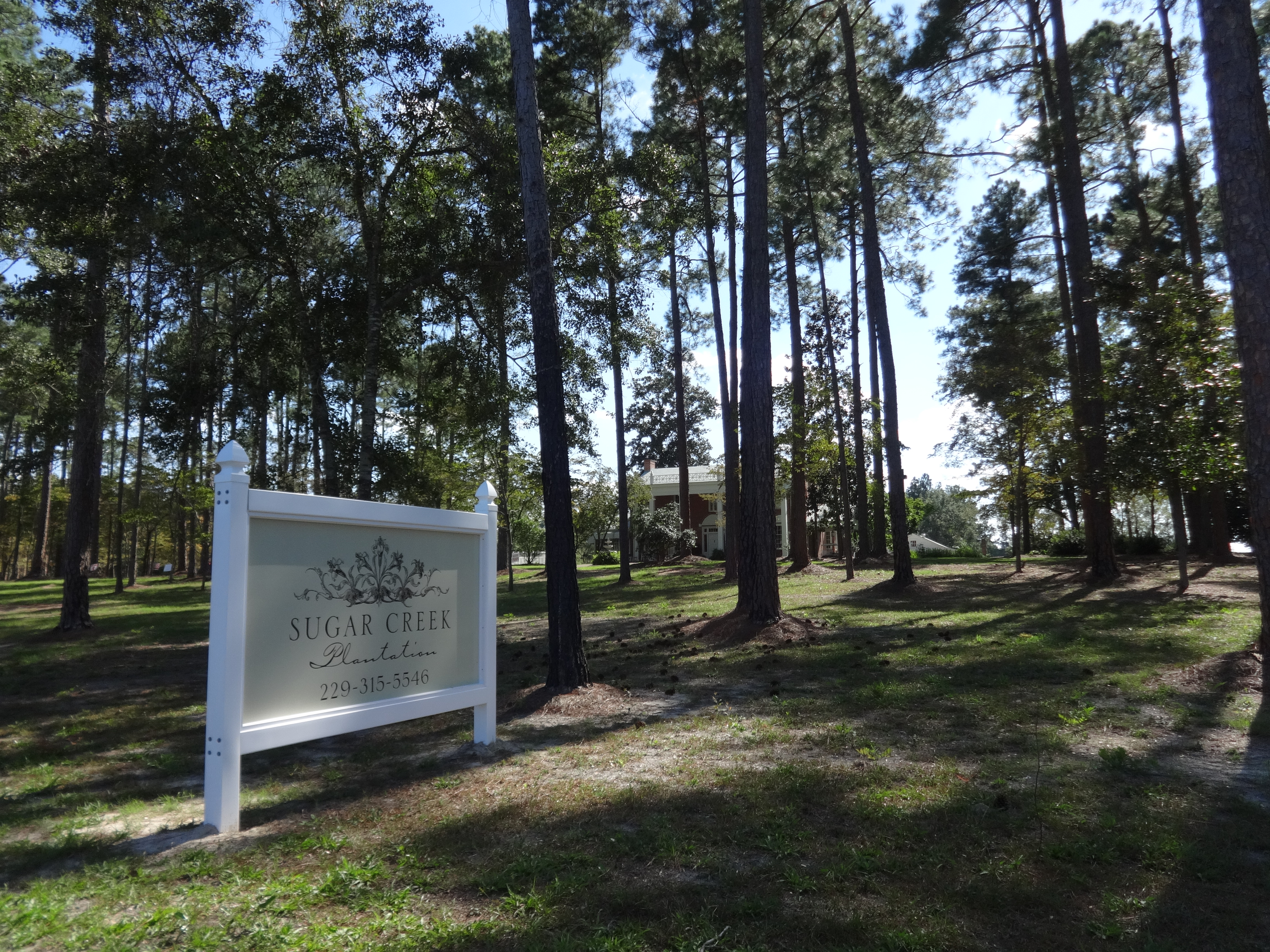
Sugar Creek Plantation, Telfair County
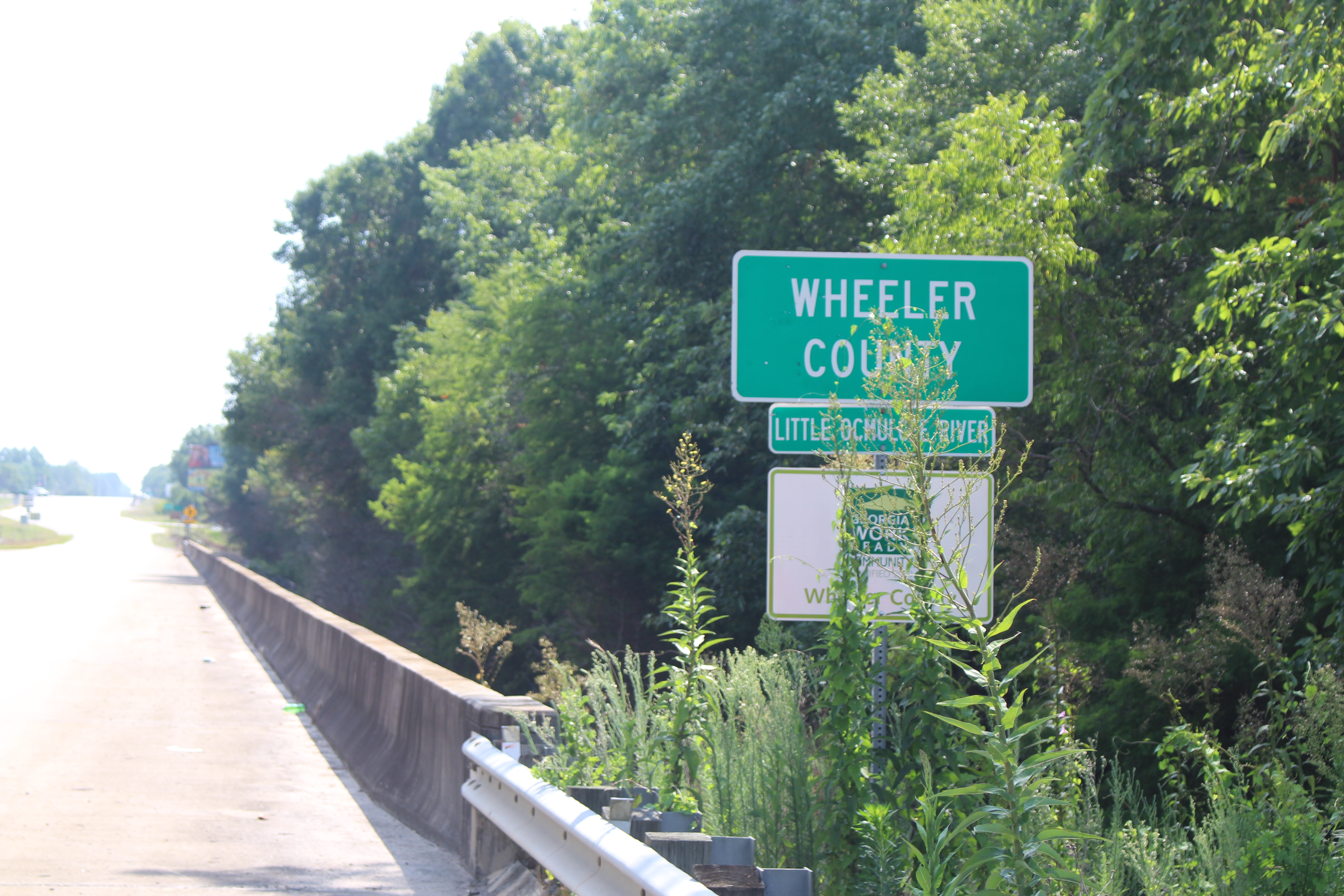
Wheeler County, US280NB
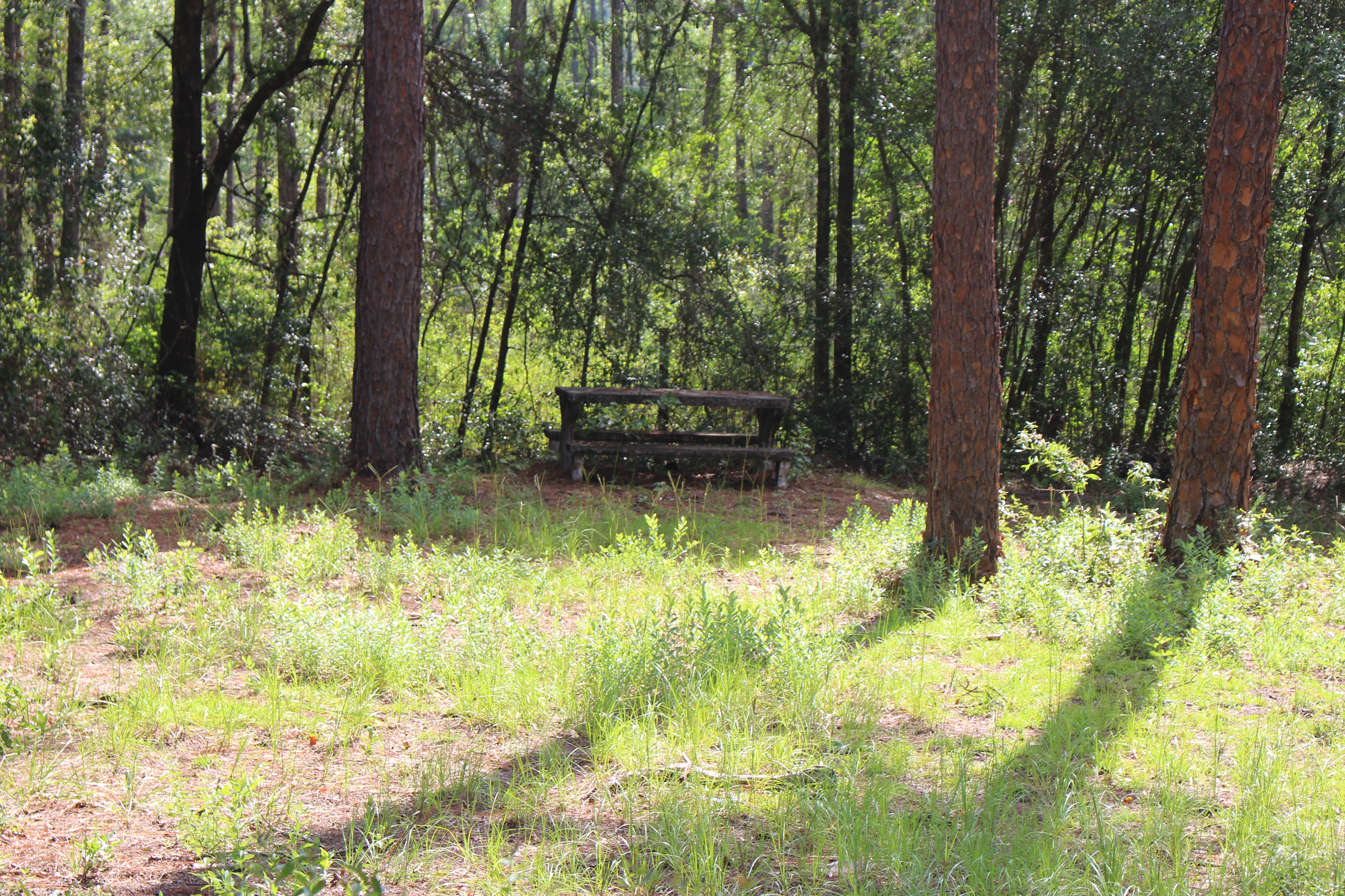
U.S. Route 319 roadside park, Telfair County 2

McRae Post Office
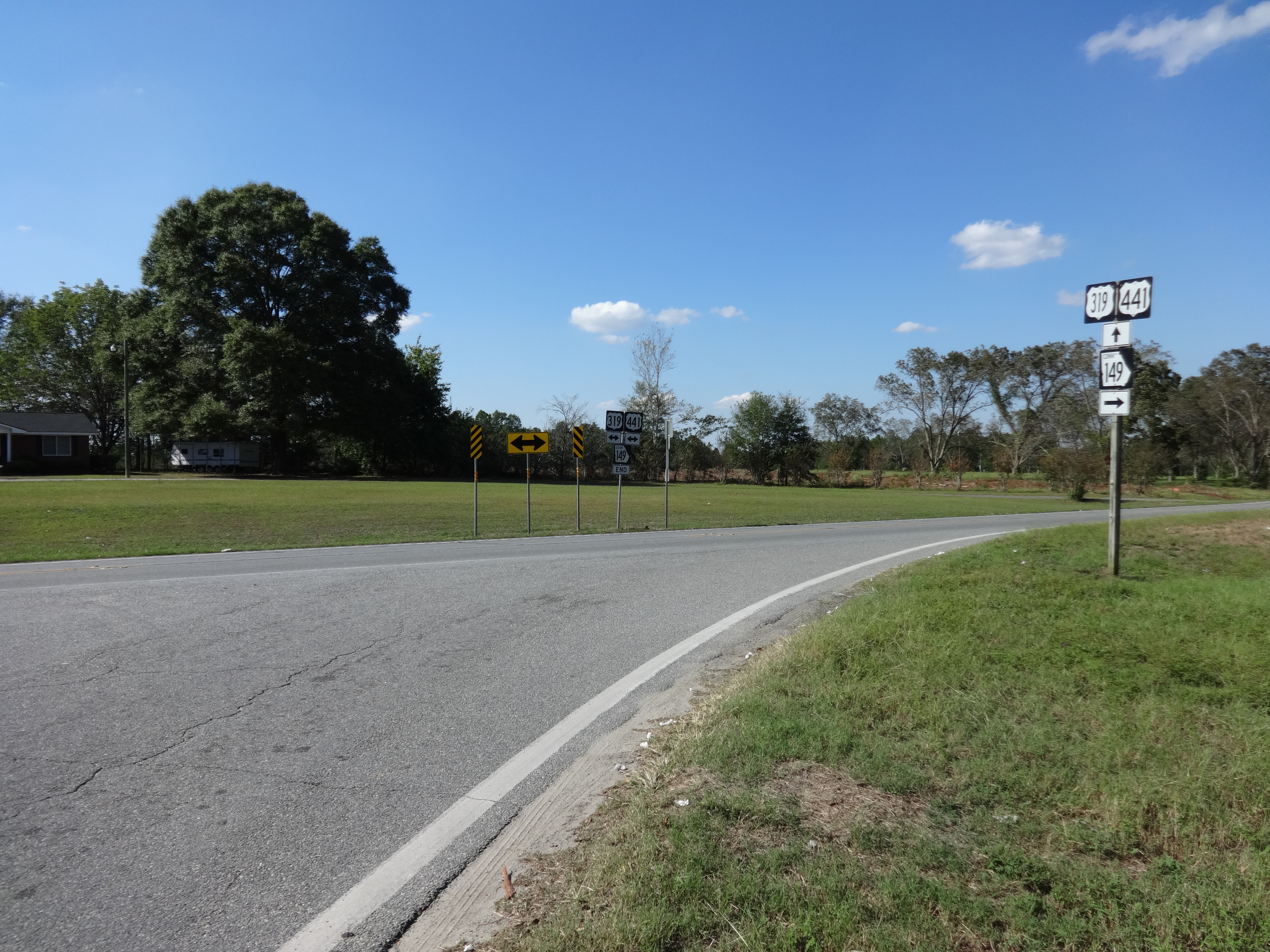
Georgia State Route 149 Connector, NW terminus
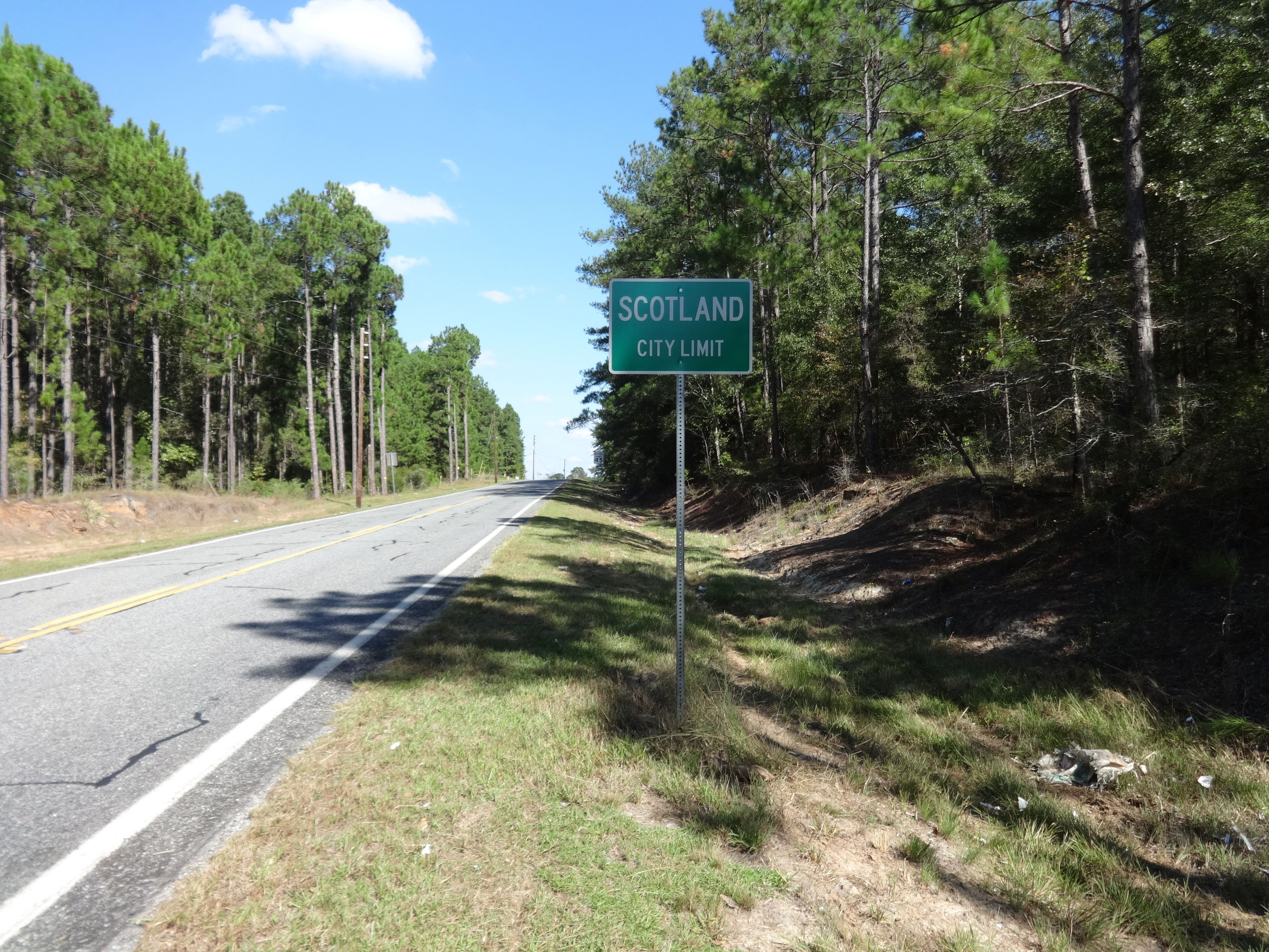
Scotland City limit, GA149NB

Helena Welcome sign

Railway Express Agency truck at Helena Depot
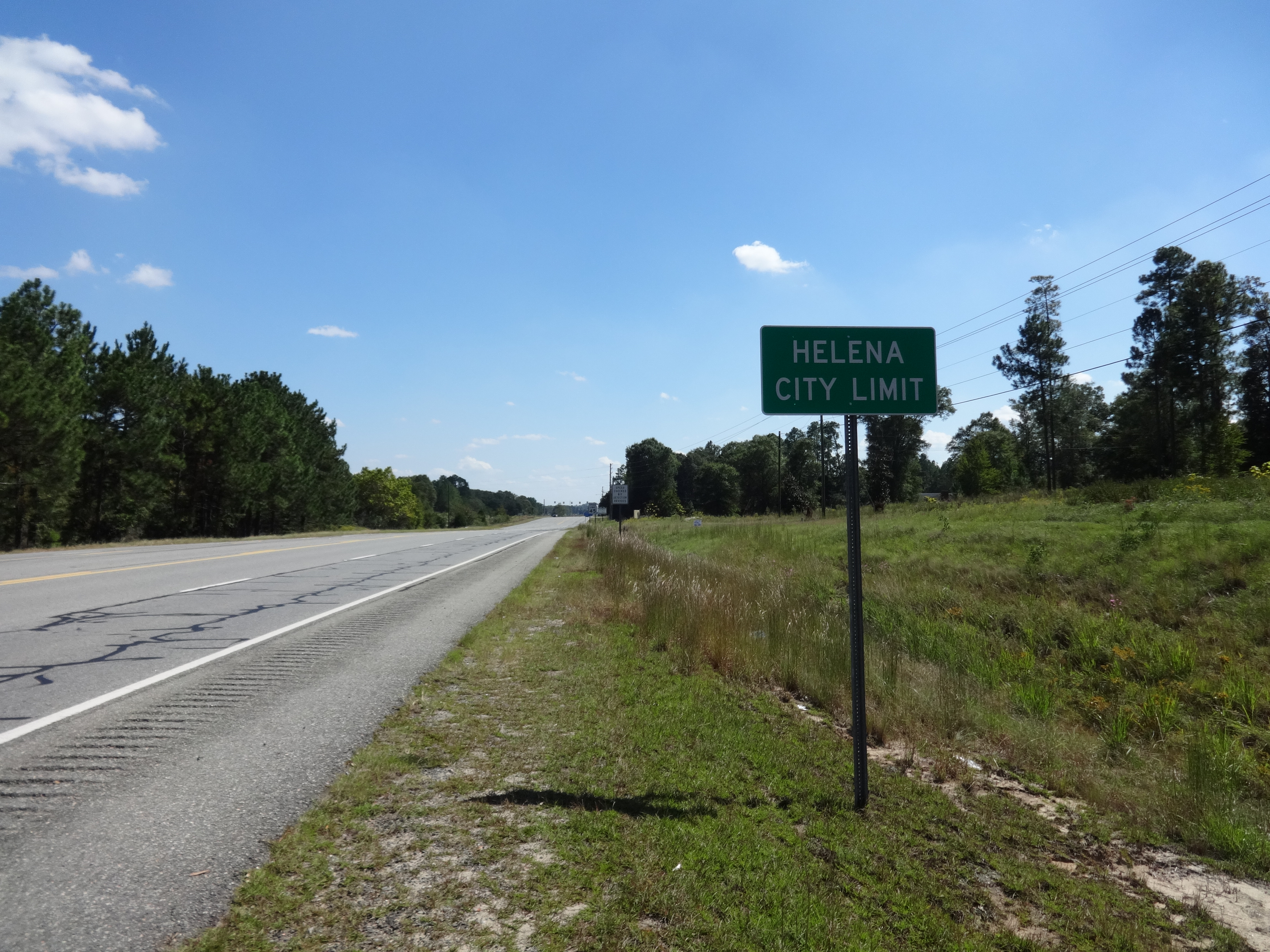
Helena City limit, US341EB
Topographic Map of Bay Springs Church Road, McRae, GA, USA
Find elevation by address:

Places near Bay Springs Church Road, McRae, GA, USA:
US-, Alamo, GA, USA
1301 Ga-30
Main St, McRae, GA, USA
786 Golden Isles Pkwy
Mcrae
18 3rd Ave, McRae, GA, USA
Alamo
12 1st Ave, Alamo, GA, USA
Georgia
Wheeler County
3089 Anderson Dr
GA-, Dublin, GA, USA
95 Coleman Rd
Glenwood
Ochwalkee Creek
Co Rd, Glenwood, GA, USA
Mount Vernon
118 Gum St
125 Moody Rd
S Railroad St, Ailey, GA, USA
Recent Searches:
- Elevation of Spaceport America, Co Rd A, Truth or Consequences, NM, USA
- Elevation of Warwick, RI, USA
- Elevation of Fern Rd, Whitmore, CA, USA
- Elevation of 62 Abbey St, Marshfield, MA, USA
- Elevation of Fernwood, Bradenton, FL, USA
- Elevation of Felindre, Swansea SA5 7LU, UK
- Elevation of Leyte Industrial Development Estate, Isabel, Leyte, Philippines
- Elevation of W Granada St, Tampa, FL, USA
- Elevation of Pykes Down, Ivybridge PL21 0BY, UK
- Elevation of Jalan Senandin, Lutong, Miri, Sarawak, Malaysia