Elevation map of Baw Baw Shire, Baw Baw, VIC, Australia
Location: Australia > Victoria >
Longitude: 146.024998
Latitude: -38.035394
Elevation: 259m / 850feet
Barometric Pressure: 98KPa
Elevation Map:
Satellite Map:
Related Photos:

Storm cell building

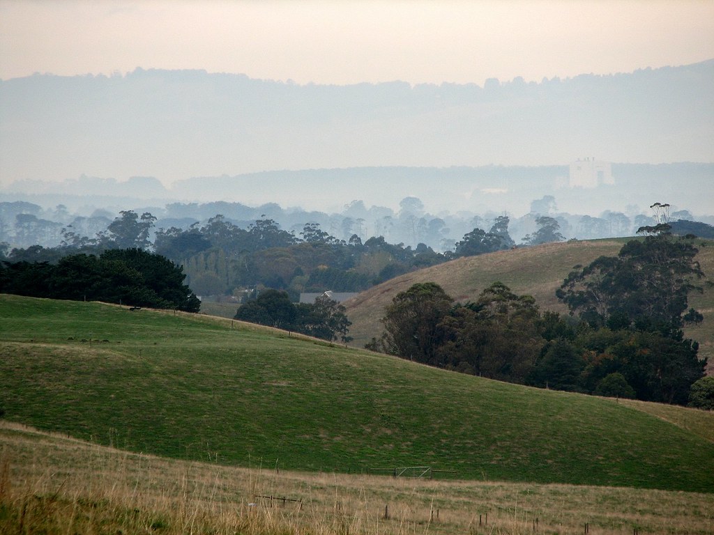
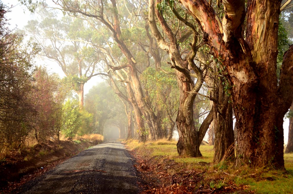
Foggy autumn morning
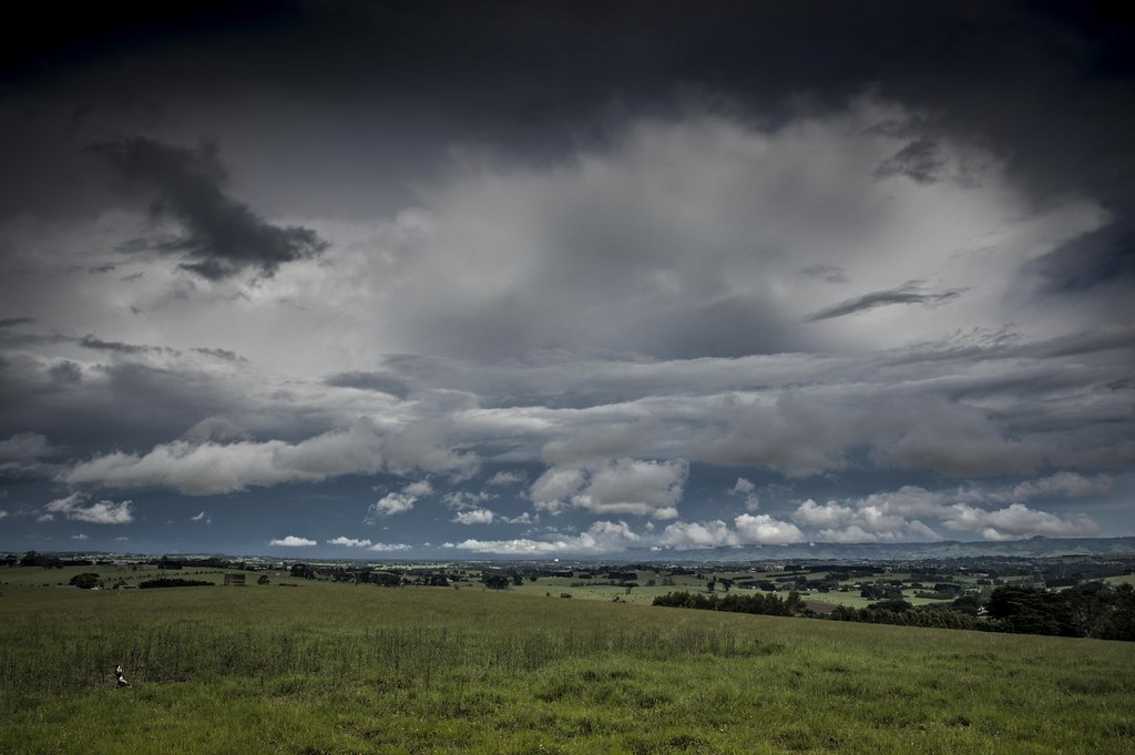
West Gippsland Landscape
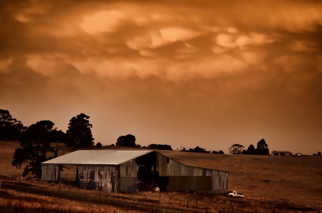
Cumulonimbus mamma
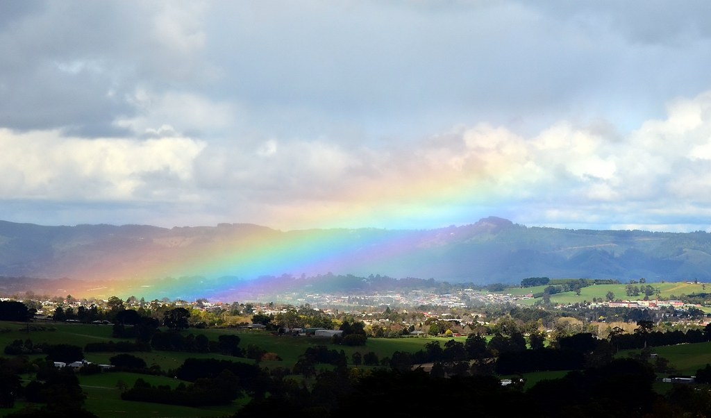
Four seasons in one day
Rear view of a storm
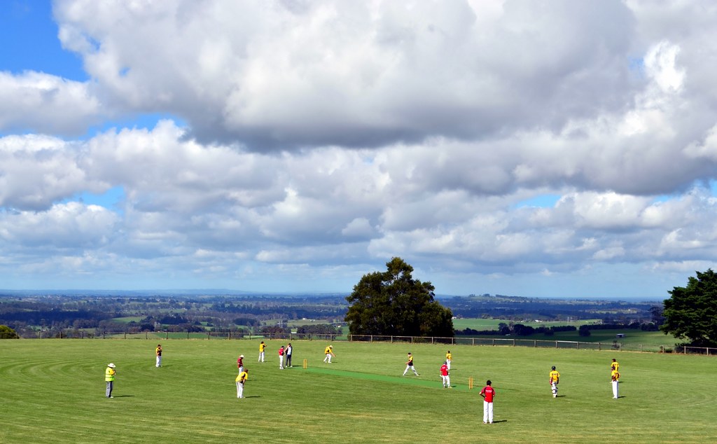
Cricket with a view !!

Rear view of a storm

Milk tankers unloading
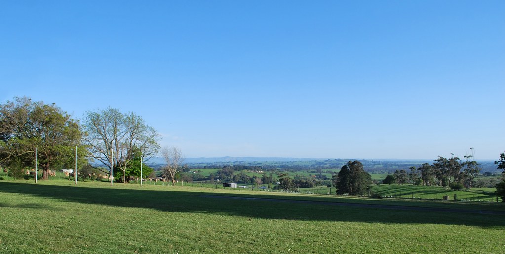
View from the Jindivick Primary School, VIC, Australia

View from the Jindivick Primary School, VIC, Australia
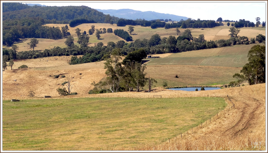
Jindivick and Neerim region farmland..
Hillside Farm Road
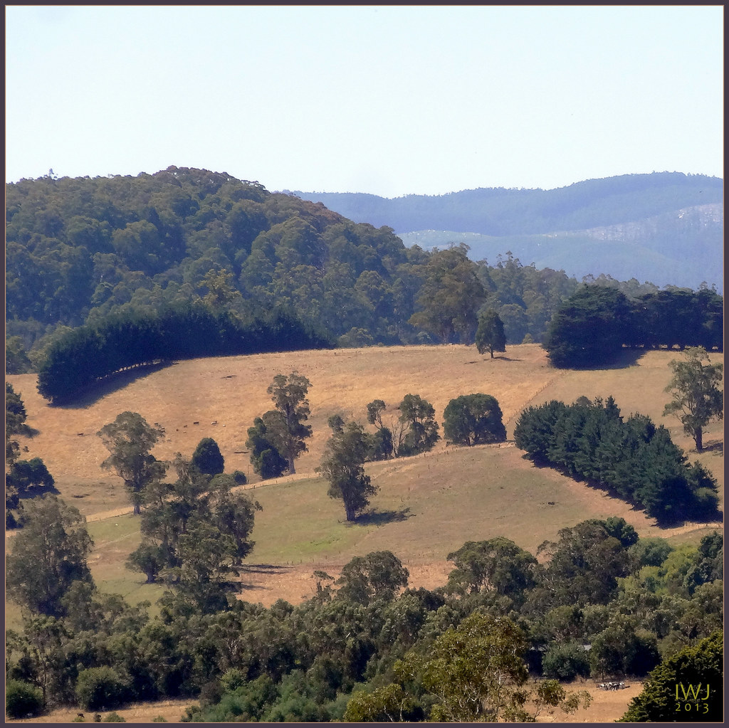
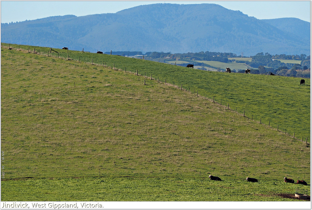
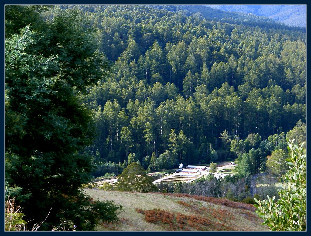
View north to ranges from Little Charli's Lookout, Main Neerim Road, Neerim area.
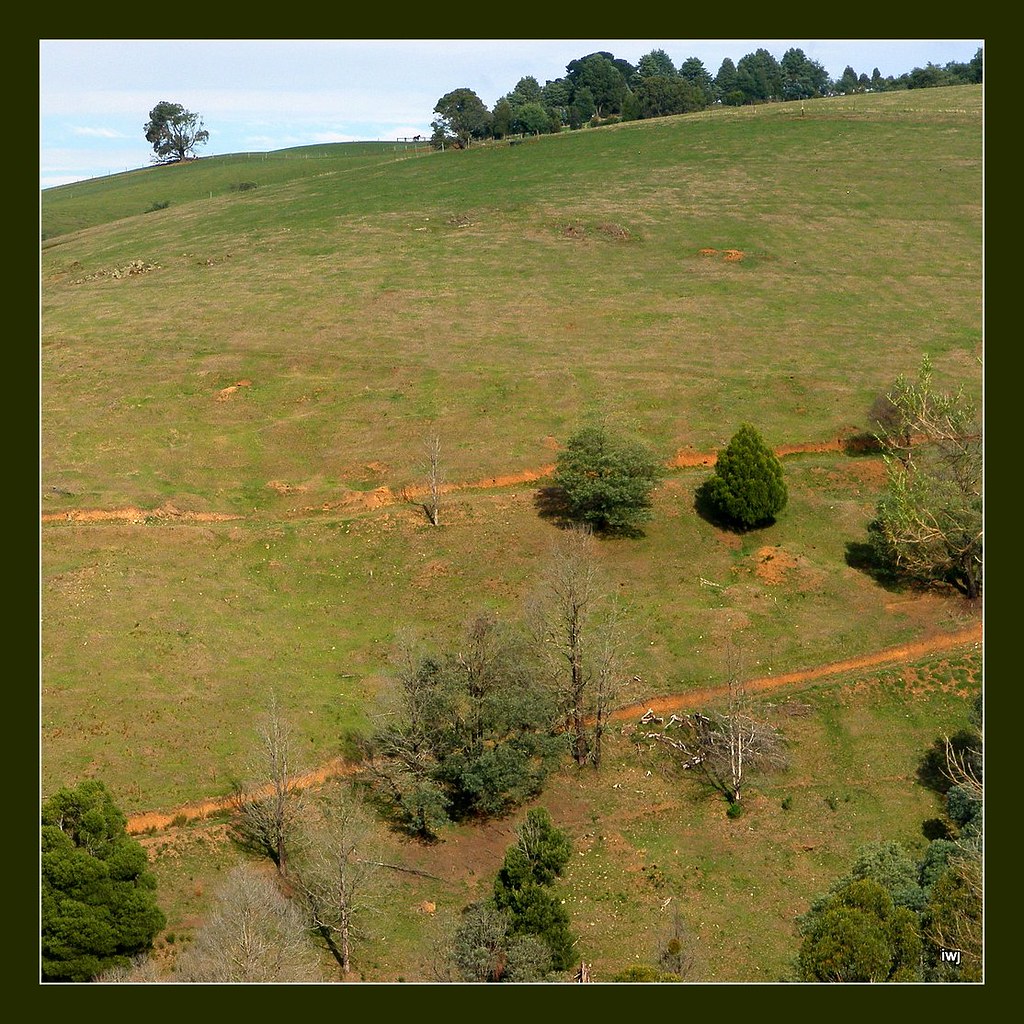
Farmland and bushland hills, Neerim area, West Gippsland, Victoria.
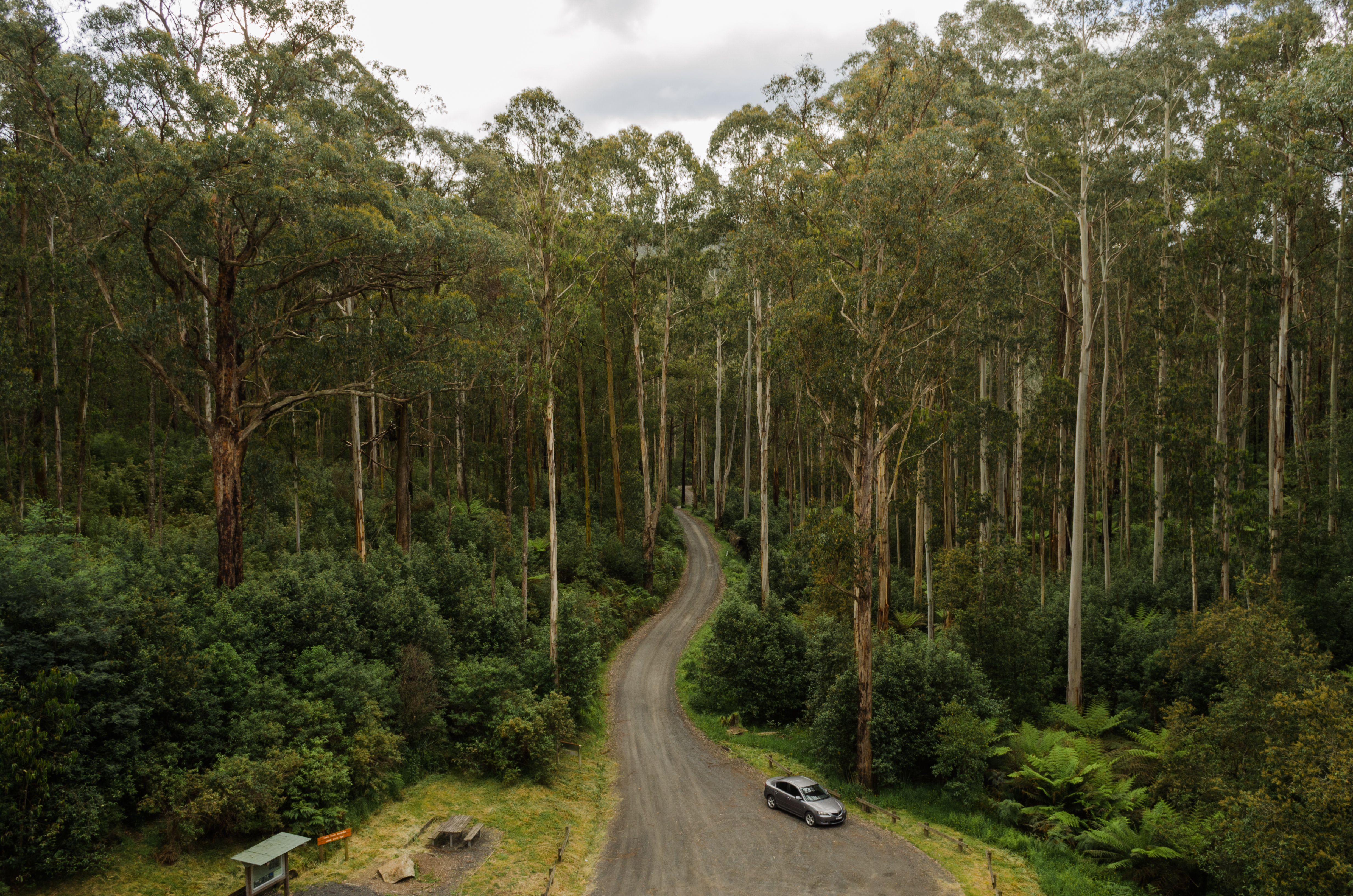
View from the Noojee Trestle Bridge
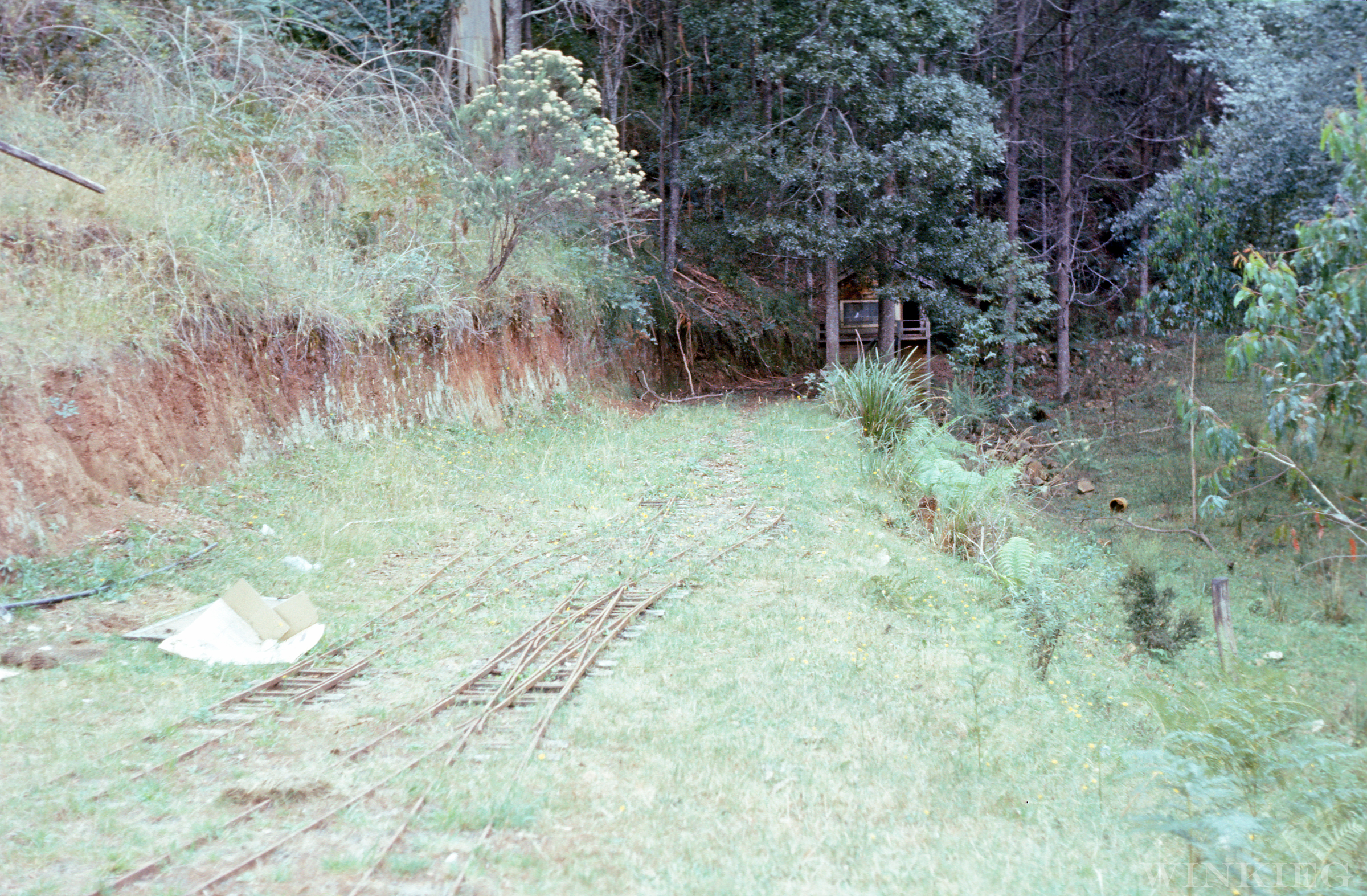
Toorongo River Falls Railway
Blue mountains view near Noojee from Main Neerim Road lookout
Neerim, Noojee area, West Gippsland, Victoria
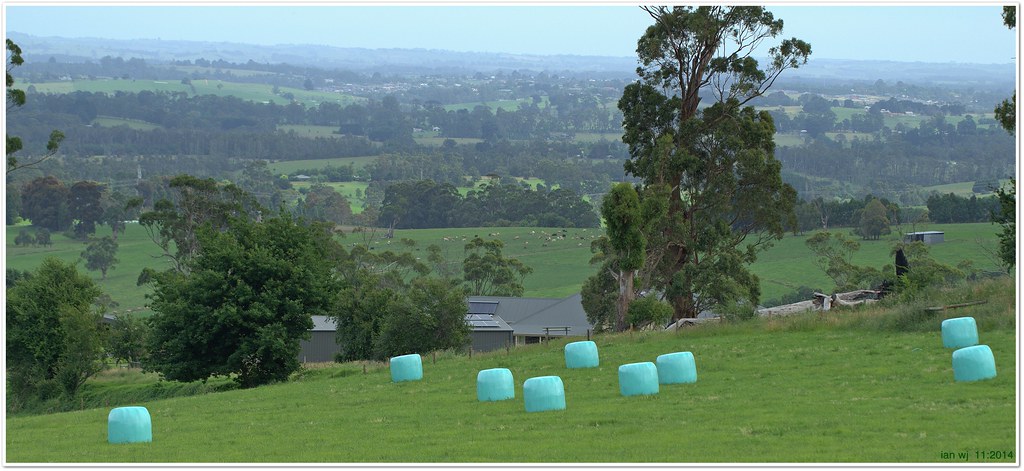
Wrapped silage and view south from Jindivick towards Warragul and Drouin townships
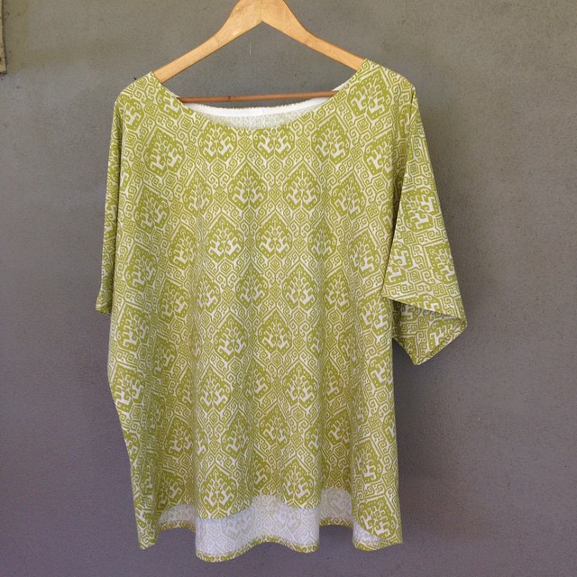
I was a bit productive last night! McCalls M6566 view B. 1.5m of fabric, stash bias binding. $5 top! No sewing today, cleaning feral teenagers room - ???? ⚠️???????????? was nice knowing you all.... #anyonegotasparehazmatsuit? #summerofse
Autumn has finally arrived
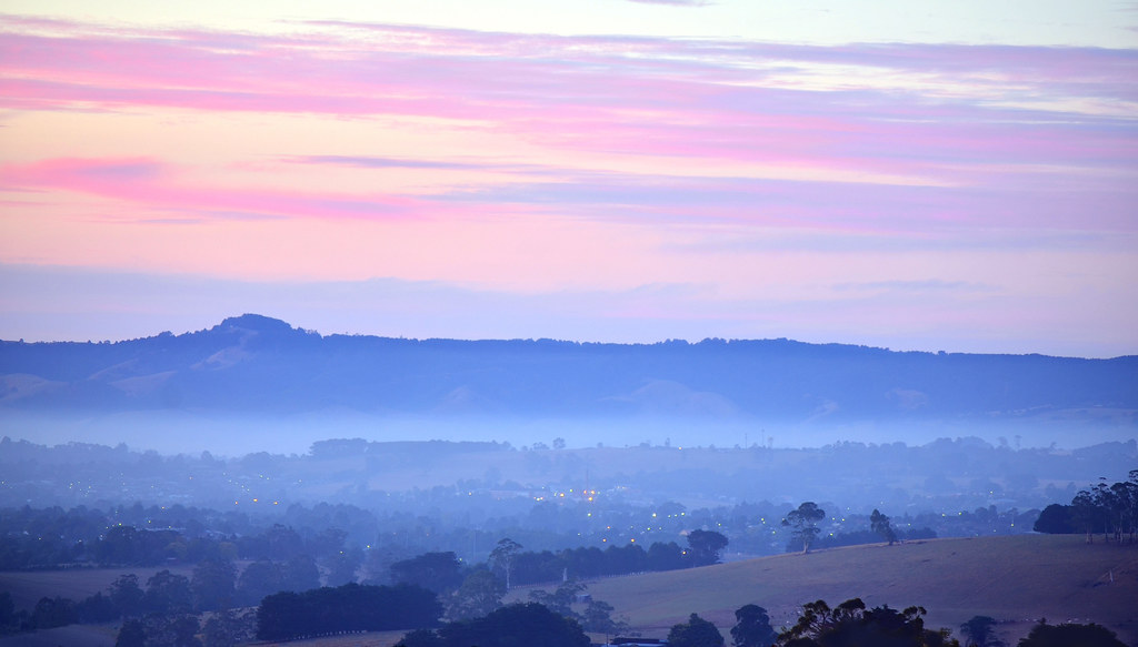
A town awakes
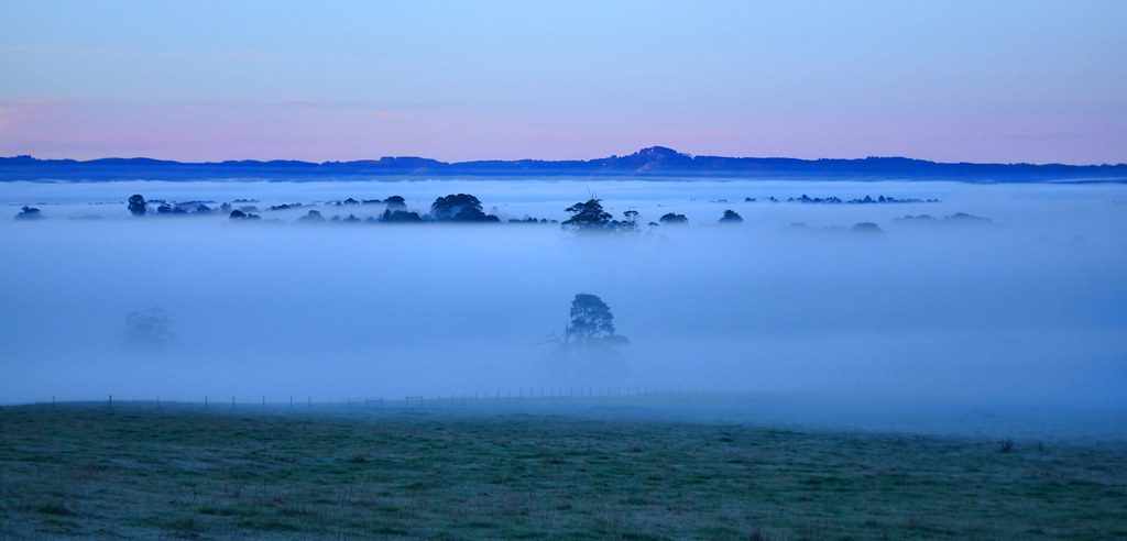
A winter's morning panorama [Explored]
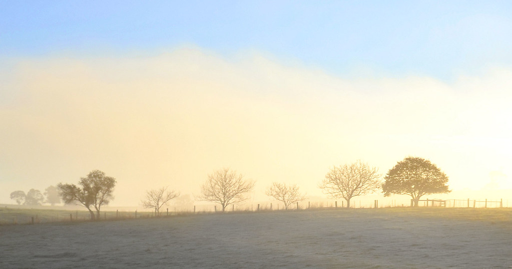
"Morning fosts and frog"
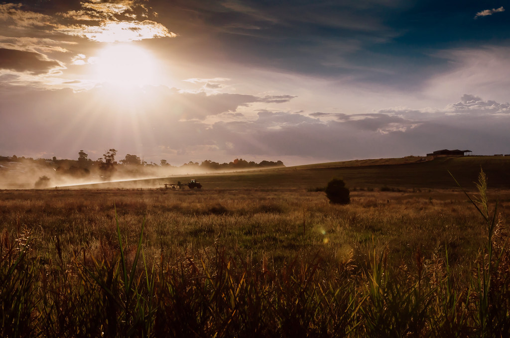
Making Hay While the Sun Shines

Mount Baw Baw Morning

New Life
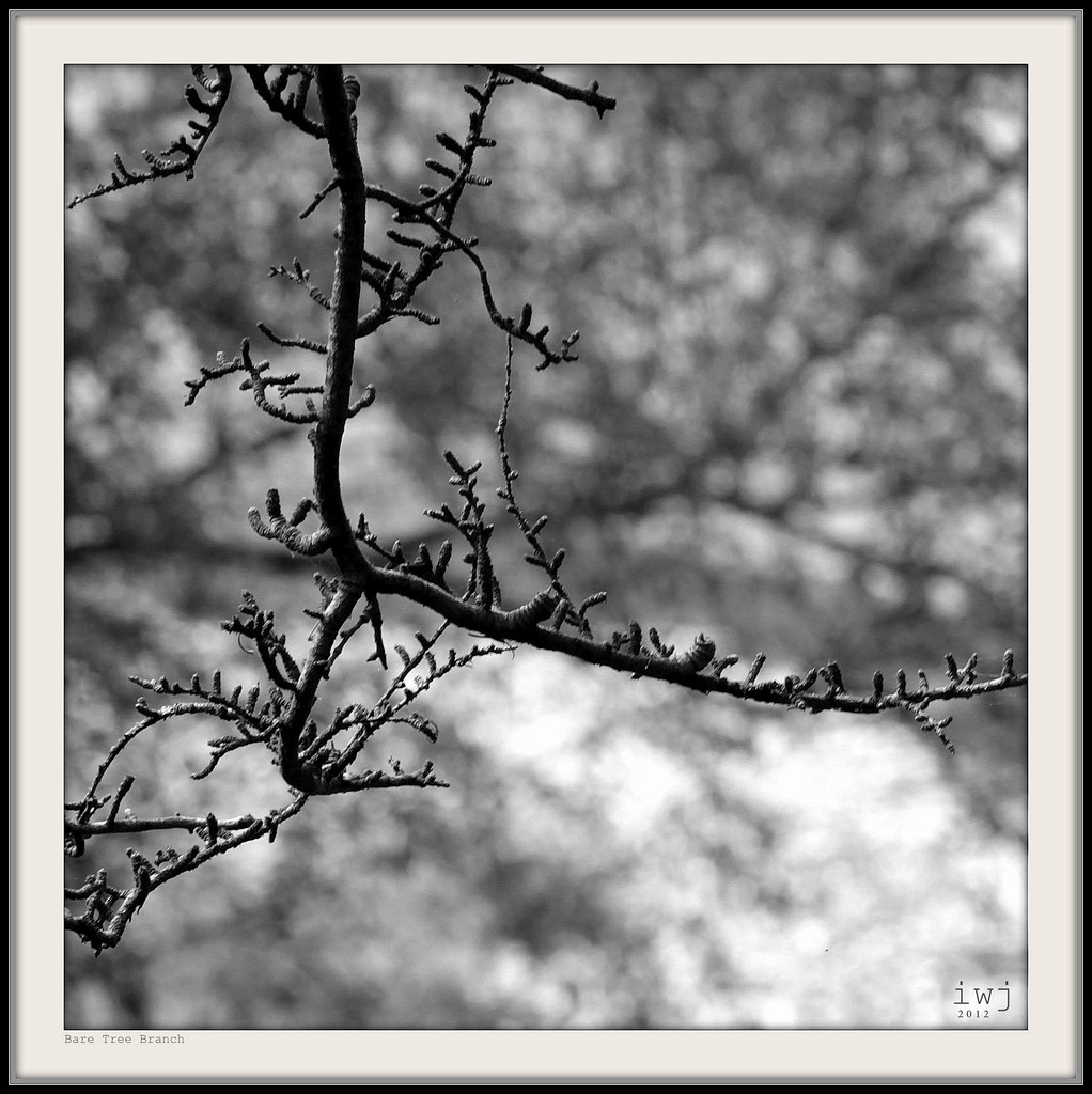
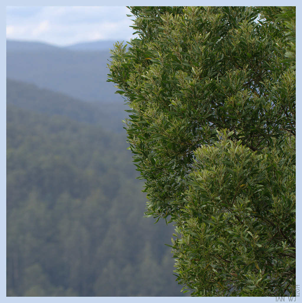
Bare Tree Branch

Warragul Sunrise

West Gippsland misty winter sunset [Explored]
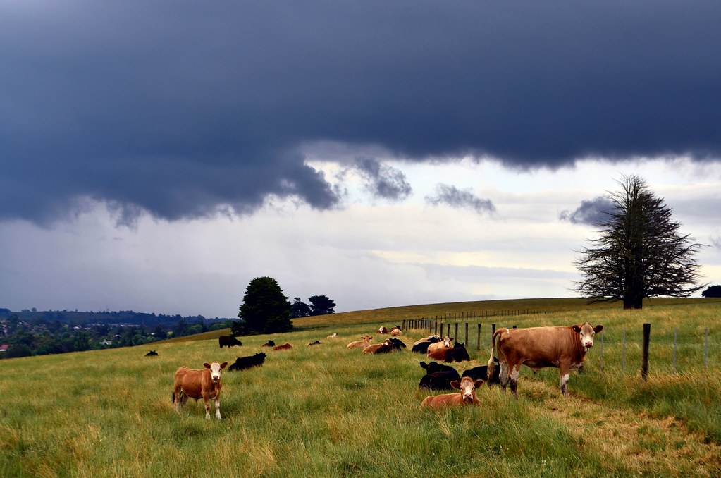
Summer Storm
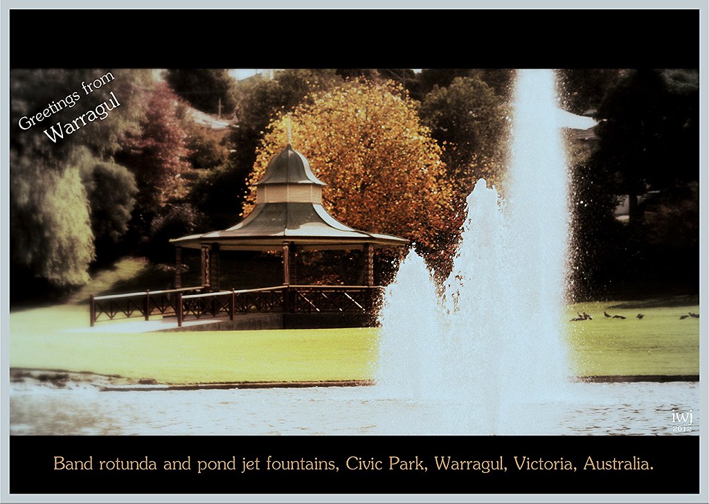
Pond Fountain Jets, Civic Park, Warragul (Nostalgic retro-colour).
Plenty O' Cows
Colours of Autumn
Topographic Map of Baw Baw Shire, Baw Baw, VIC, Australia
Find elevation by address:

Places in Baw Baw Shire, Baw Baw, VIC, Australia:
Drouin
Warragul
Brandy Creek
Trafalgar
Drouin West
Rokeby
Neerim South
Neerim East
Drouin South
Yarragon
Lardner
Narracan
Places near Baw Baw Shire, Baw Baw, VIC, Australia:
Neerim South
2 Main Neerim Rd
100 C426
246 Wagner Rd
Rokeby
69 Roberts Rd
Brandy Creek
Eve Road
24 Old Telegraph Rd W
6 Eisenhower St
Warragul
51 Silkwood Dr
51 Silkwood Dr
177 Burke St
33 Glendon Dr
Yarragon
8 Neagle St
Drouin West
89 Hopetoun Rd
15 Outlook Dr
Recent Searches:
- Elevation of Fern Rd, Whitmore, CA, USA
- Elevation of 62 Abbey St, Marshfield, MA, USA
- Elevation of Fernwood, Bradenton, FL, USA
- Elevation of Felindre, Swansea SA5 7LU, UK
- Elevation of Leyte Industrial Development Estate, Isabel, Leyte, Philippines
- Elevation of W Granada St, Tampa, FL, USA
- Elevation of Pykes Down, Ivybridge PL21 0BY, UK
- Elevation of Jalan Senandin, Lutong, Miri, Sarawak, Malaysia
- Elevation of Bilohirs'k
- Elevation of 30 Oak Lawn Dr, Barkhamsted, CT, USA