Elevation of Bavincourt, France
Location: France > Nord-pas-de-calais-picardie > Pas-de-calais >
Longitude: 2.5678329
Latitude: 50.225658
Elevation: 151m / 495feet
Barometric Pressure: 100KPa
Elevation Map:
Satellite Map:
Related Photos:

La Fête est finie / Day is over
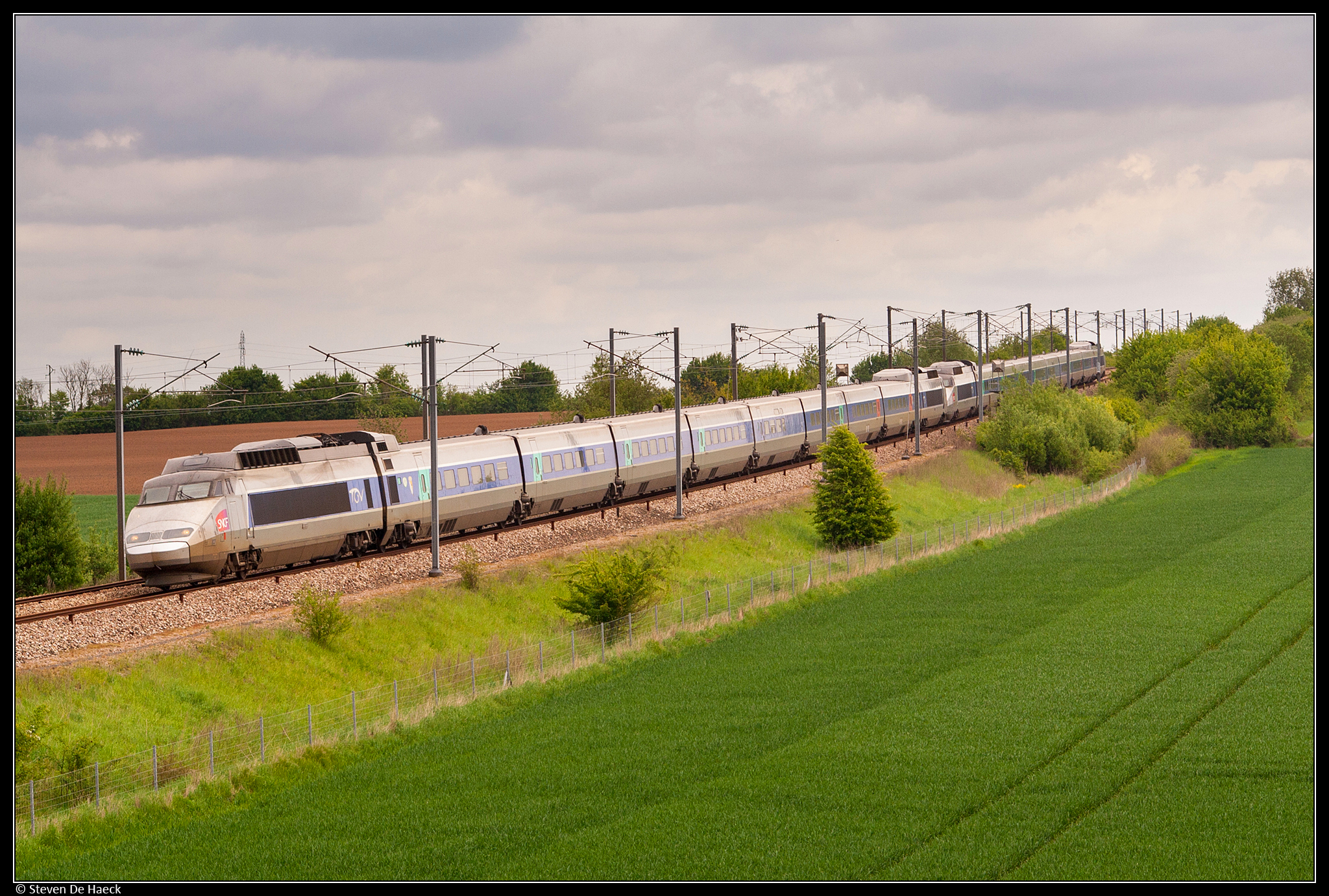
SNCF TGV 83 + 97 @ Mercatel
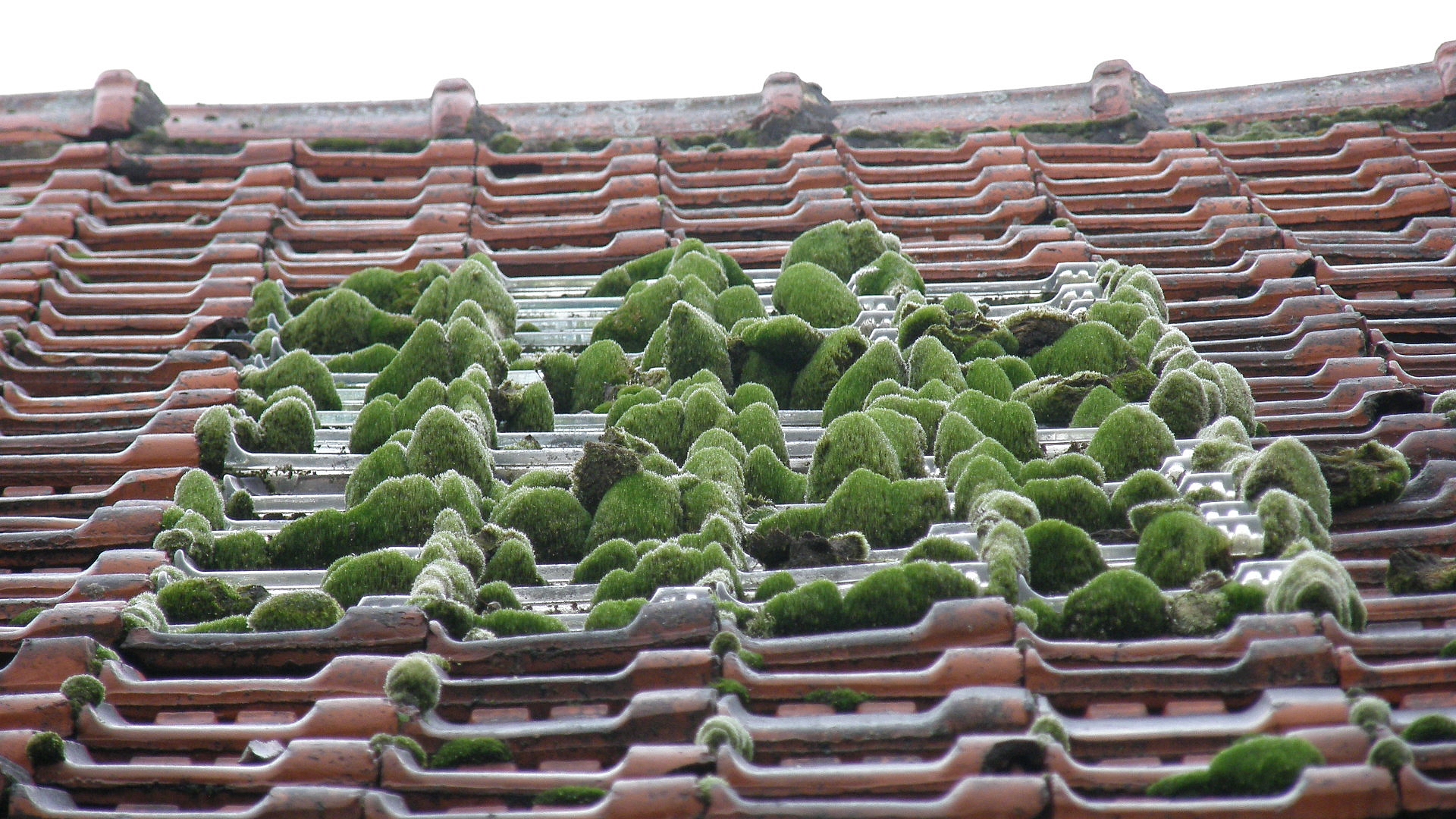
petit jardin Zen de toit / Zen little roof garden
Serre Road No 2
Promenade à Duisans
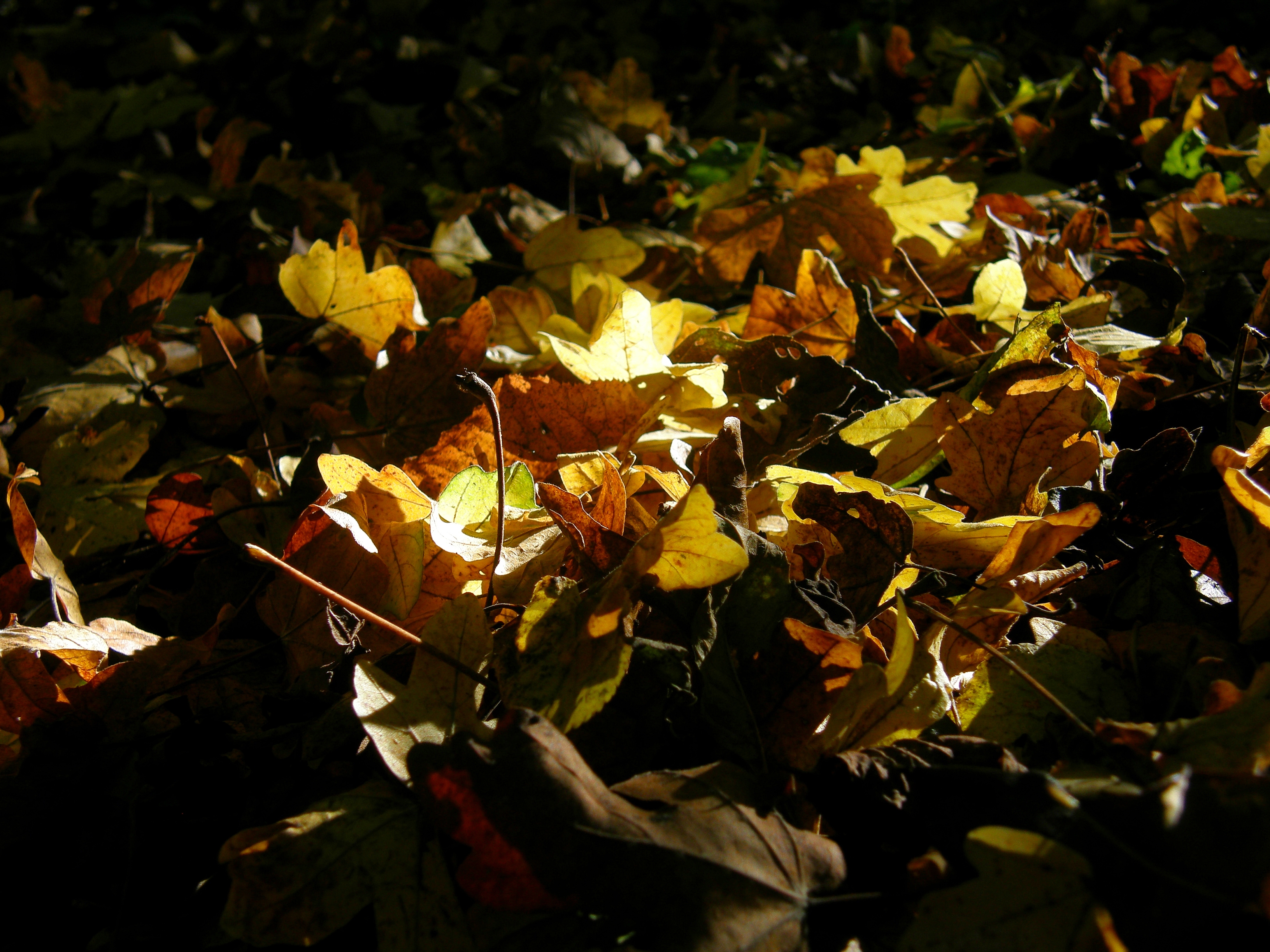
automne / autumn
ghost / fantôme

Sheffield Park
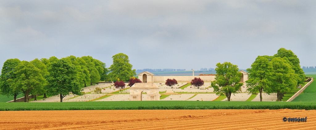
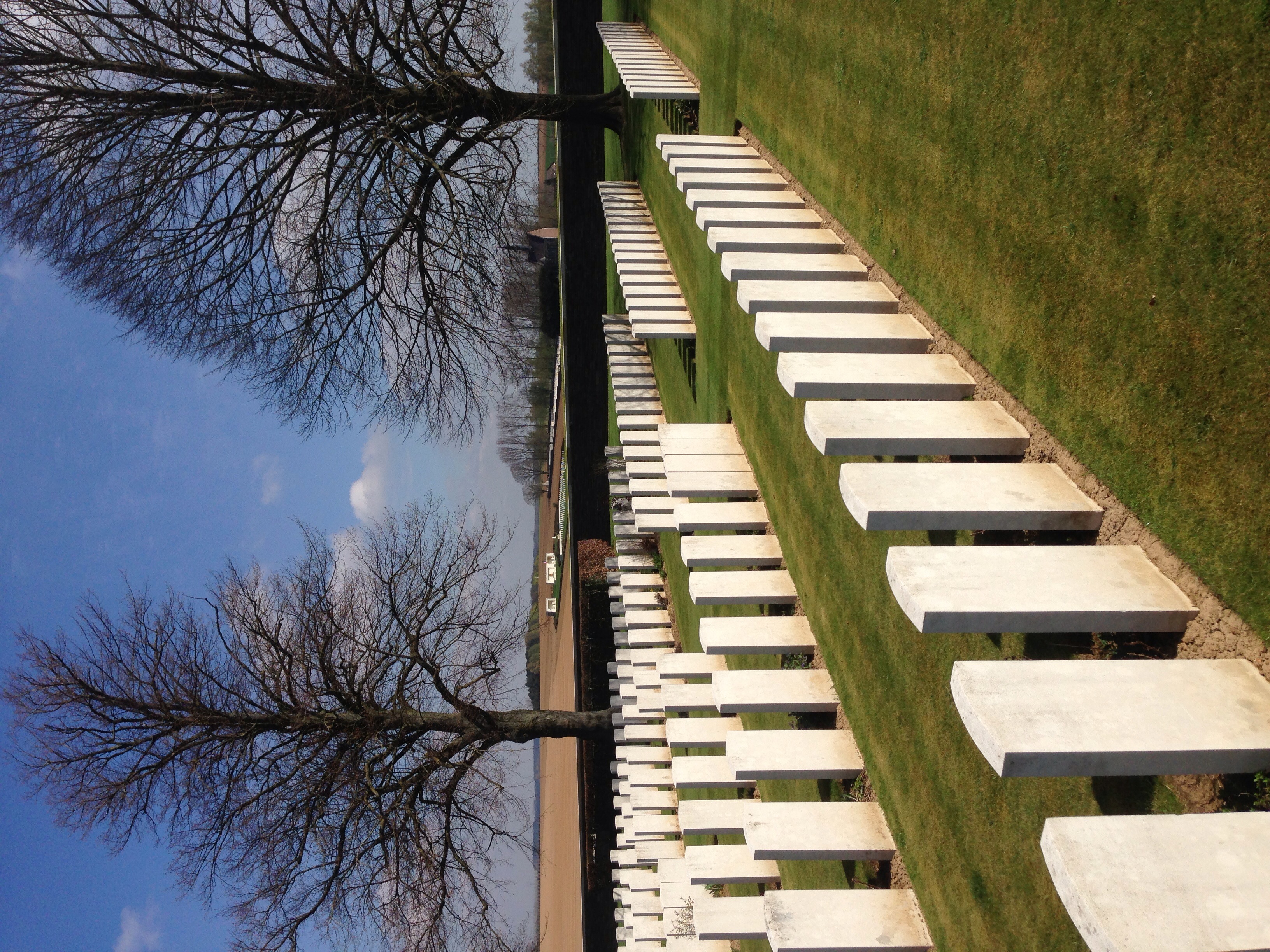
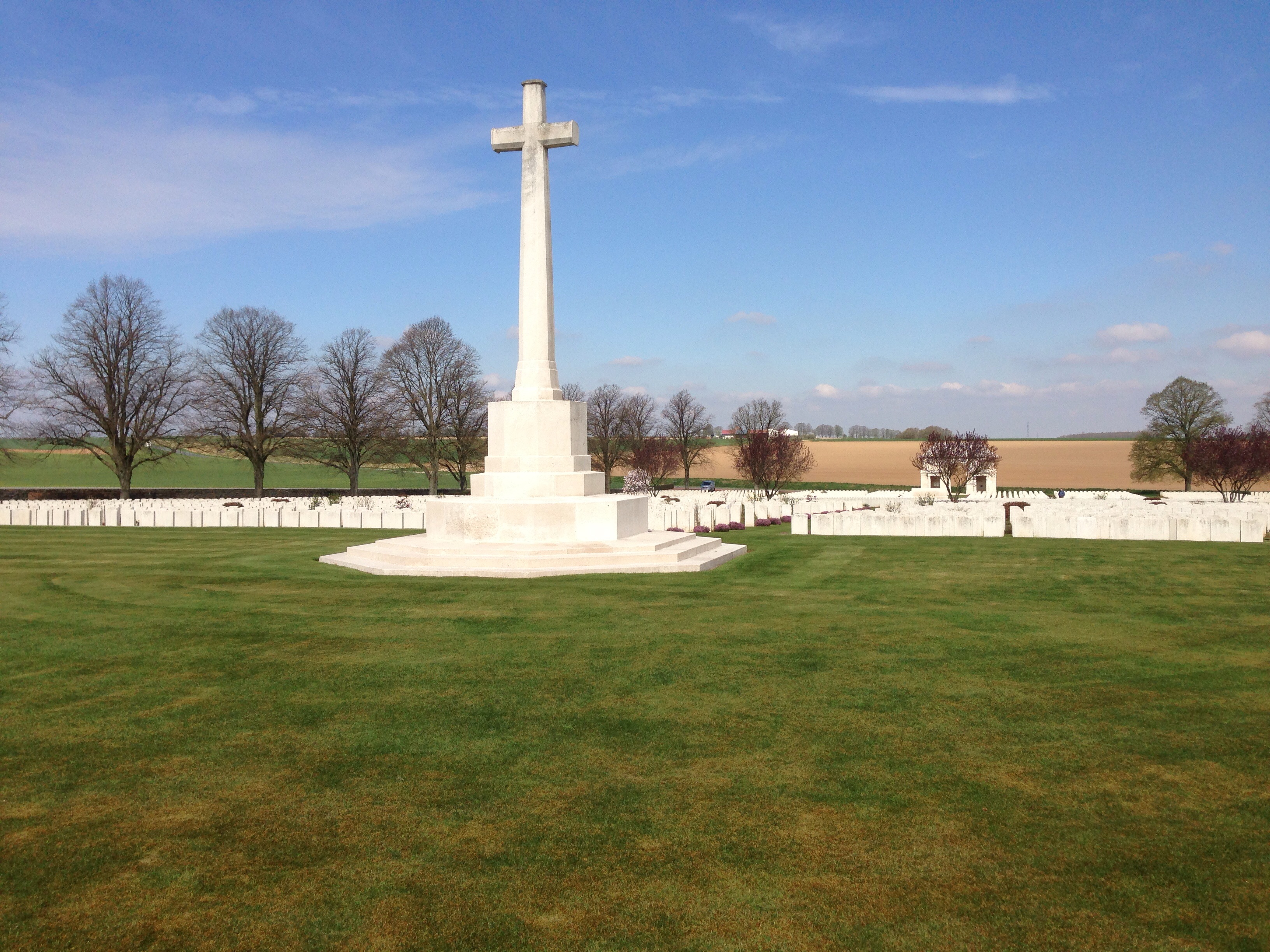
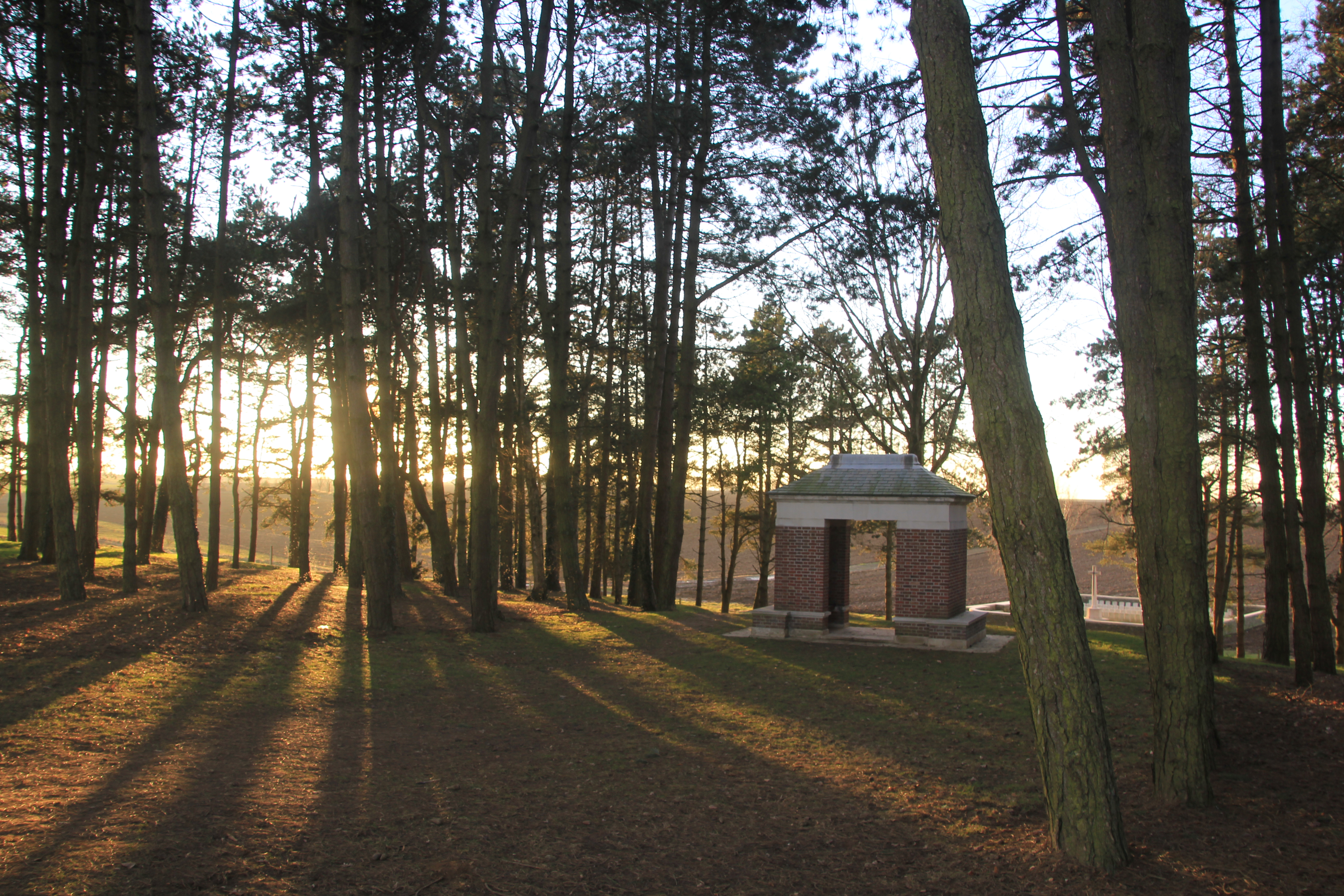
Serre Road number 2 Cemetery

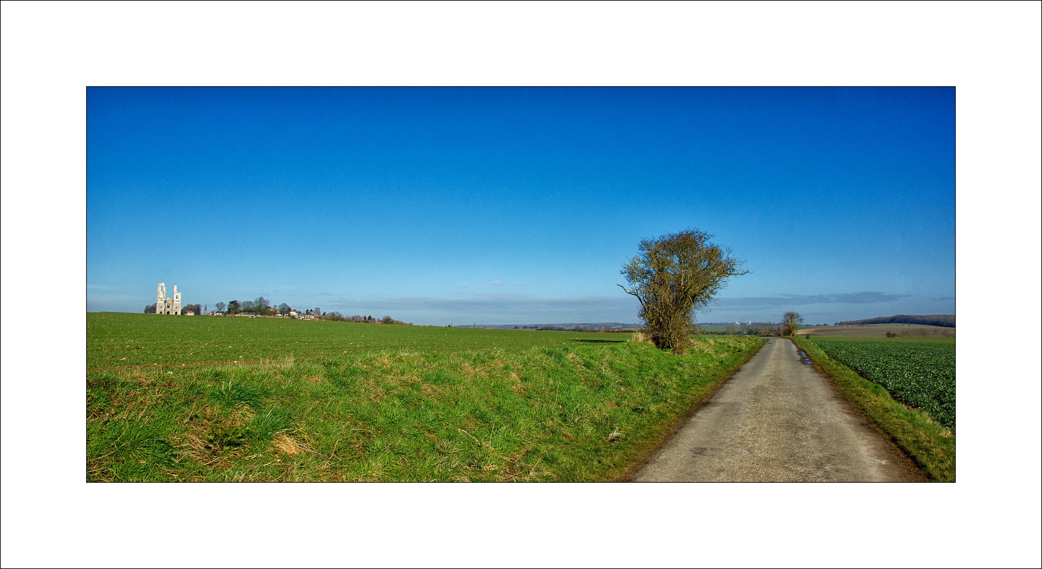
View from Serre Road No 2 Cemetery.

Serre Road Cemetery number 3,looking towards Serre

Monsieur Paon / Mister Peacock

Aubigny Communal Cemetry

Serre Road Cemetery number 3

View from our Cottage Courtyard

P1020828.jpg
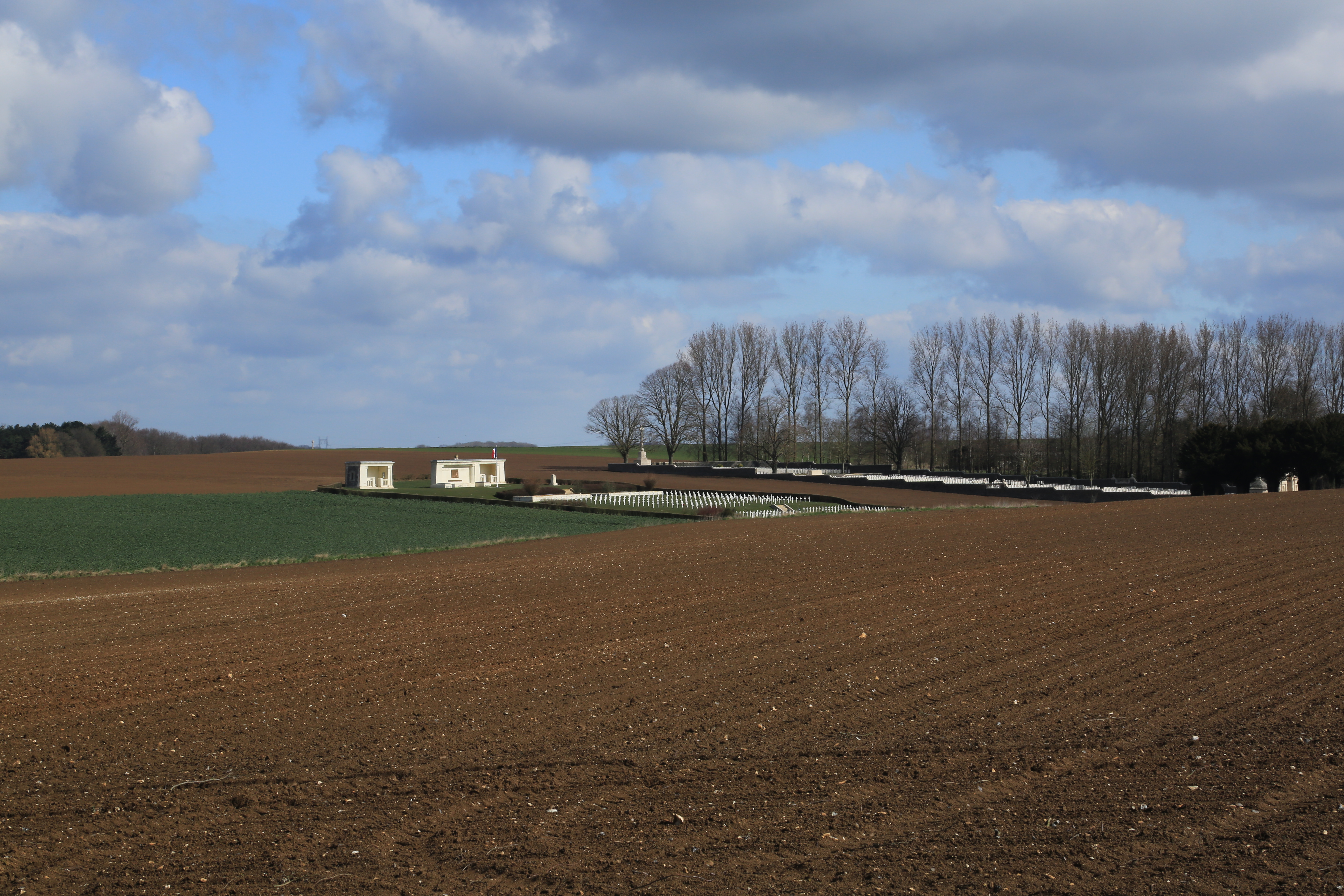
View from Serre Road No 2 Cemetery.
IMG_6026.JPG

IMG_6025.JPG
Serre Road No 2

View from Serre Road No 2 Cemetery.
Au vert
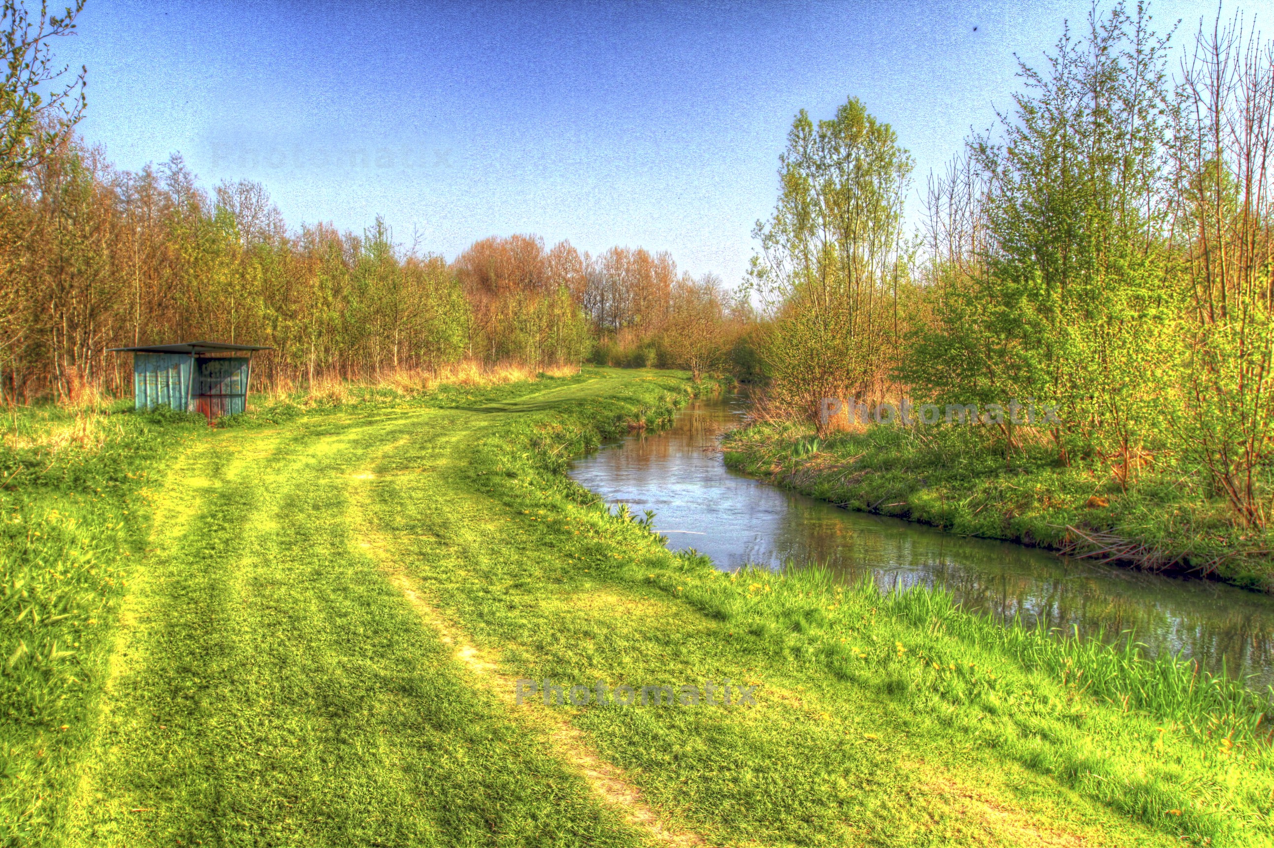
Balade en campagne artésienne
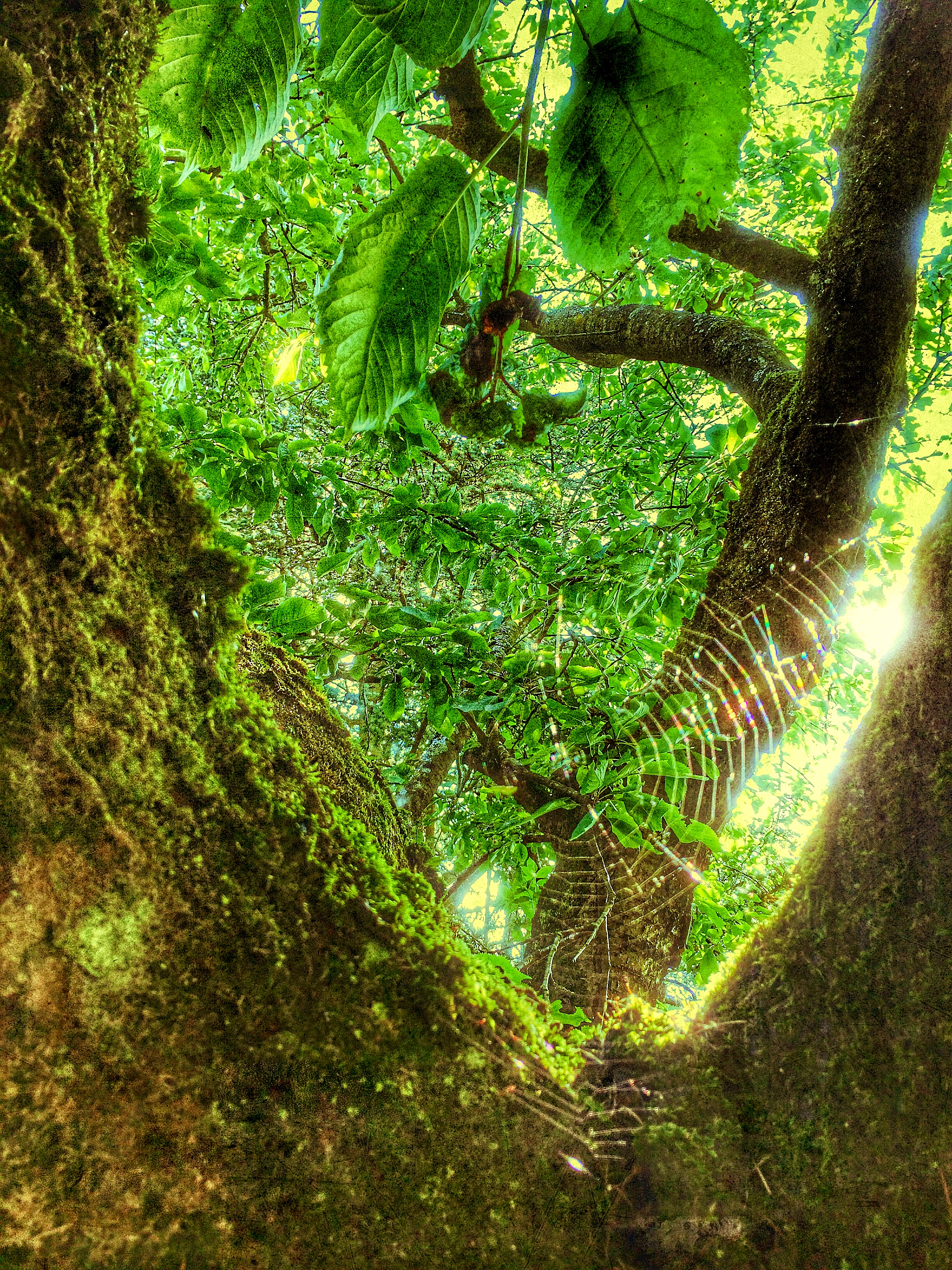
La toile...
Earth of Artois in spring / Terres d'Artois au printemps

Morning light on the Earth Atrébate / Lumière du matin sur la Terre Atrébate
Railway Hollow Cemetery, The Somme, WW1.

In the middle of the park, alone

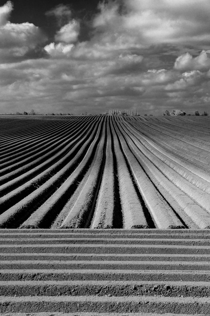
Quite in curve / Toute en courbe
Plaine d'Artois
oH !, une jolie fleur...

20130915__A6792 [ On Explore # 176, 16 september, 2013]
20130915__A6775 [ On Explore # 51, 20 september, 2013 ]
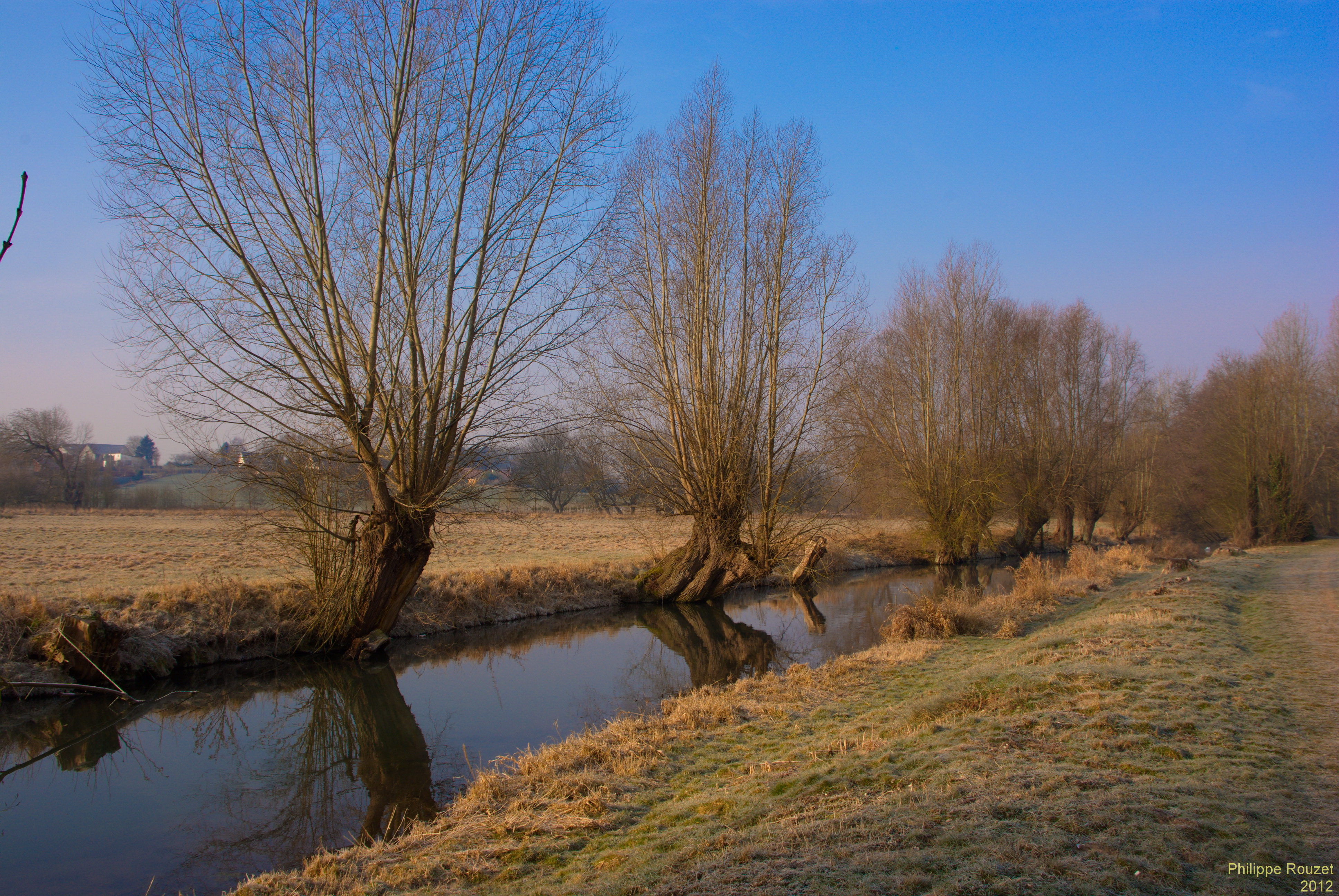
Marais de la Scarpe
20130915__A6782 [On Explore # 71, 18 september, 2013 ]
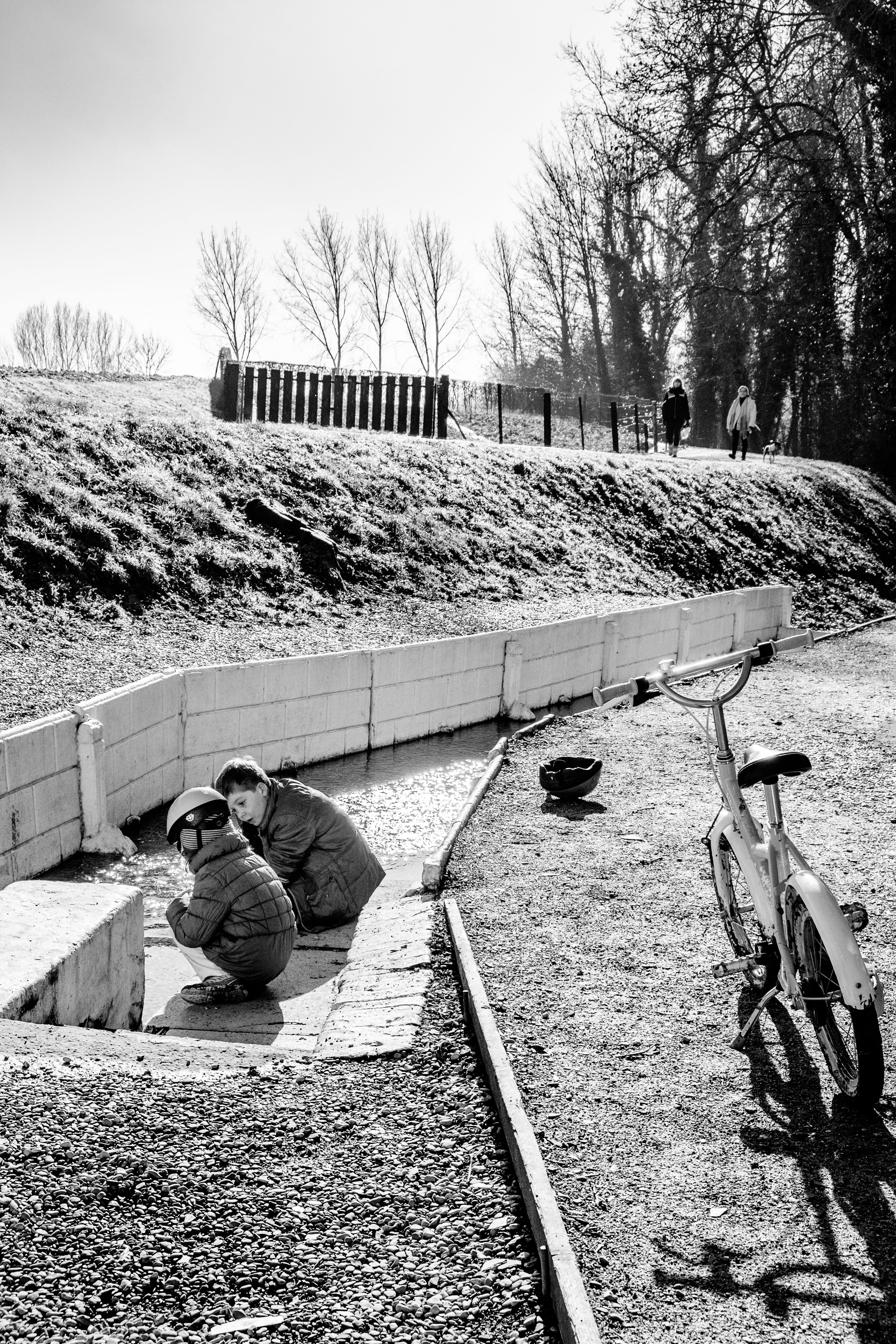
Water game for children
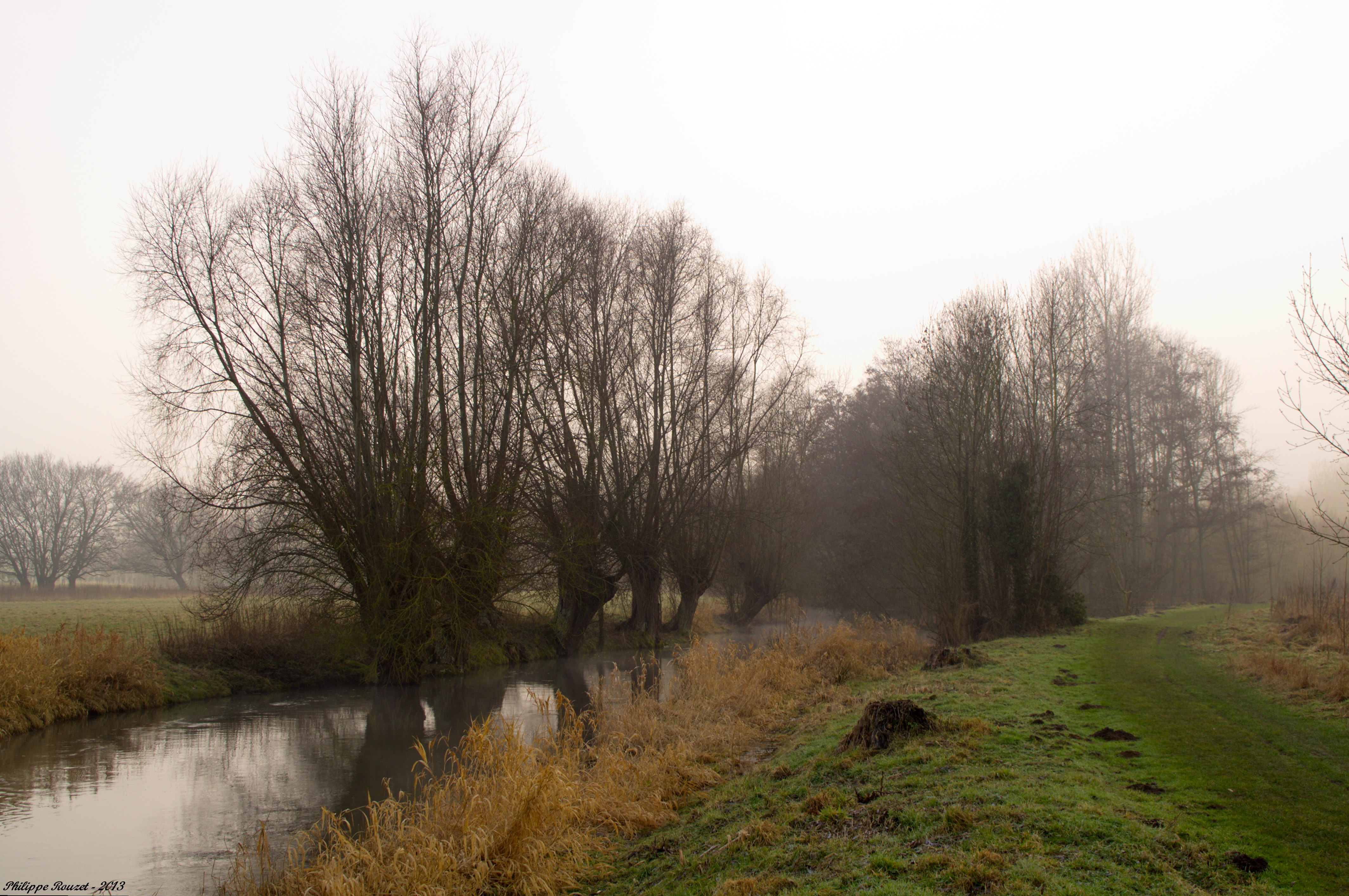
La Scarpe
La Scarpe +(nd-r)=landscape
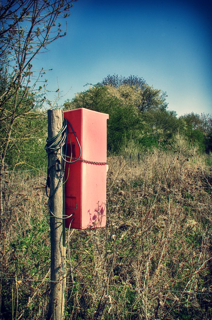
Une boite rouge !
Serre Road No.2 HDR

P1020831.jpg

Laisser sa trace
Topographic Map of Bavincourt, France
Find elevation by address:

Places in Bavincourt, France:
Places near Bavincourt, France:
24 Route nationale, Bavincourt, France
1 Place de la Mairie, Pommier, France
Pommier
7 Rue de la Chapelle, Gommecourt, France
Gommecourt
2 Rue de l'Abbaye, Authie, France
Authie
Acheux-en-amiénois
6 Ruelle Saint-Jean, Acheux-en-Amiénois, France
Cambligneul
Rue Principale, Cambligneul, France
Forceville
23 Rue Dierville, Bucquoy, France
Bucquoy
1 Rue de l'Église, Forceville, France
15 Route de Maroeuil, Mont-Saint-Éloi, France
Marieux
12 Gr Grande Rue, Marieux, France
Mont-saint-Éloi
2 Rue Du Dr Forgeois
Recent Searches:
- Elevation of Elwyn Dr, Roanoke Rapids, NC, USA
- Elevation of Congressional Dr, Stevensville, MD, USA
- Elevation of Bellview Rd, McLean, VA, USA
- Elevation of Stage Island Rd, Chatham, MA, USA
- Elevation of Shibuya Scramble Crossing, 21 Udagawacho, Shibuya City, Tokyo -, Japan
- Elevation of Jadagoniai, Kaunas District Municipality, Lithuania
- Elevation of Pagonija rock, Kranto 7-oji g. 8"N, Kaunas, Lithuania
- Elevation of Co Rd 87, Jamestown, CO, USA
- Elevation of Tenjo, Cundinamarca, Colombia
- Elevation of Côte-des-Neiges, Montreal, QC H4A 3J6, Canada