Elevation of Batura Sar
Longitude: 74.5233333
Latitude: 36.51
Elevation: 7744m / 25407feet
Barometric Pressure: 37KPa
Elevation Map:
Satellite Map:
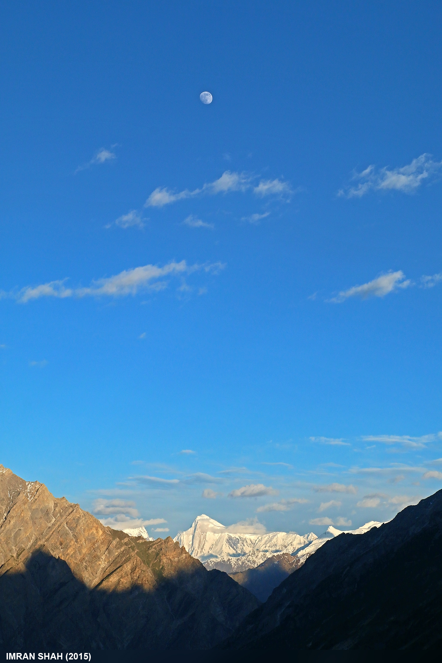
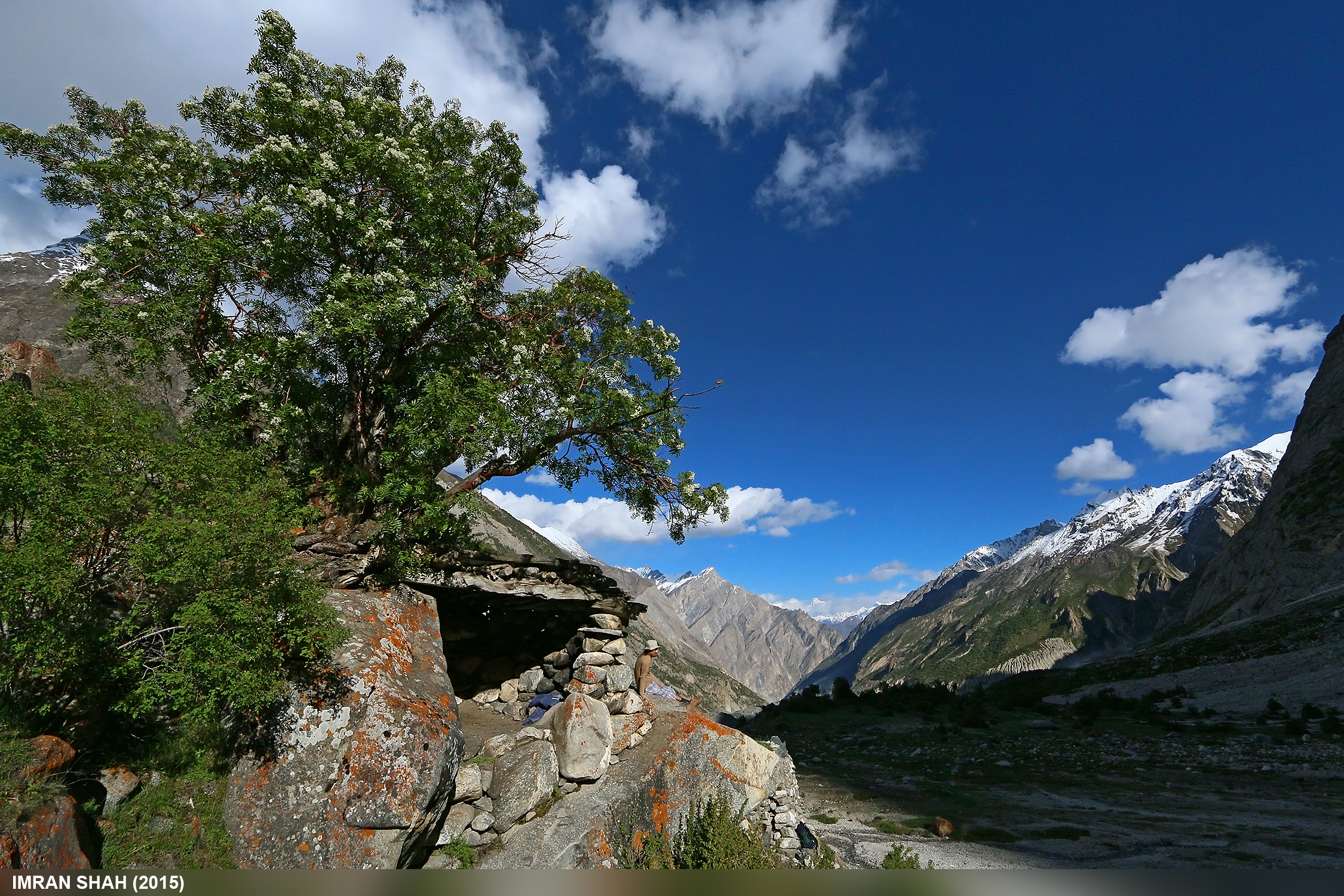
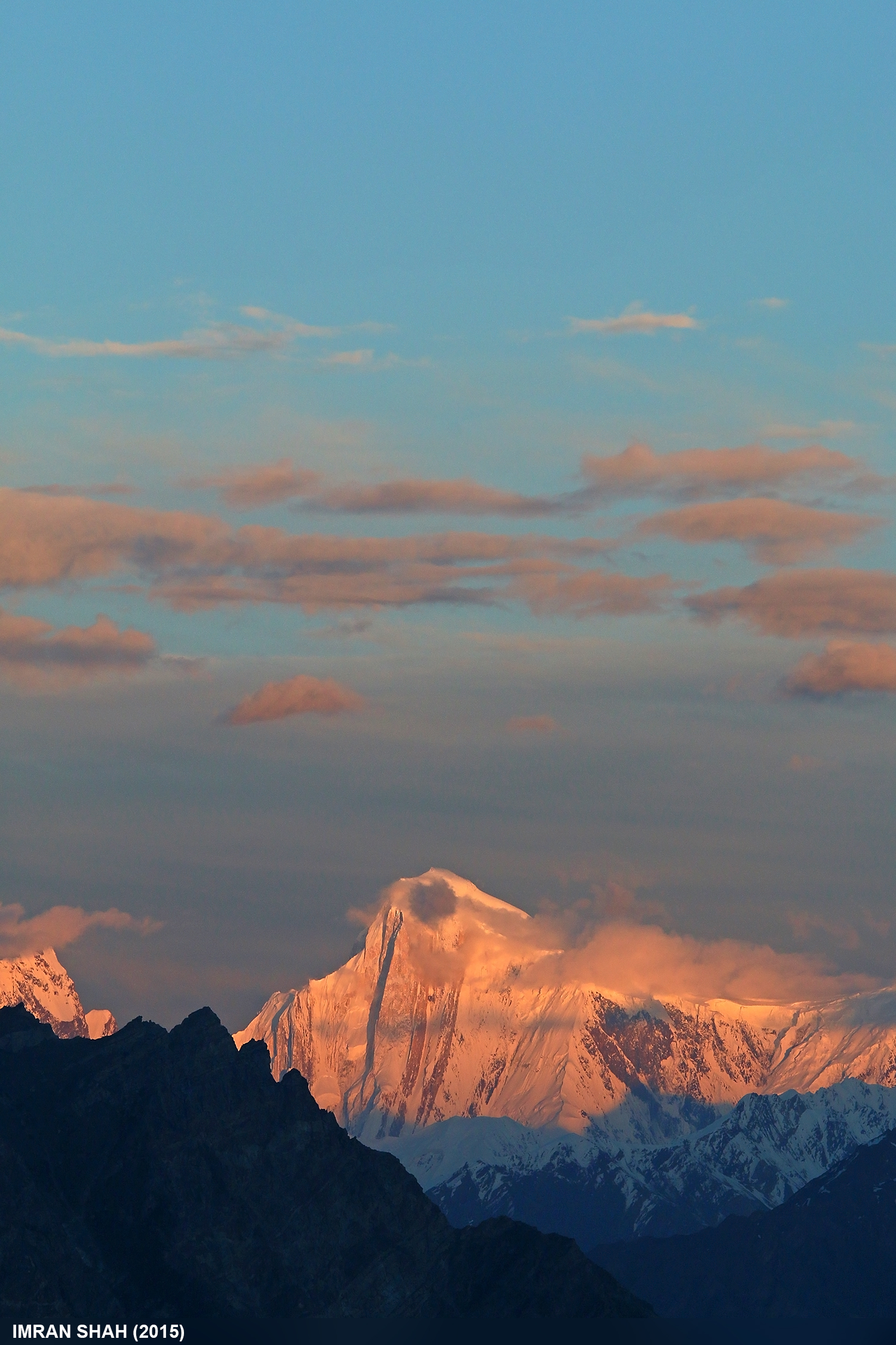
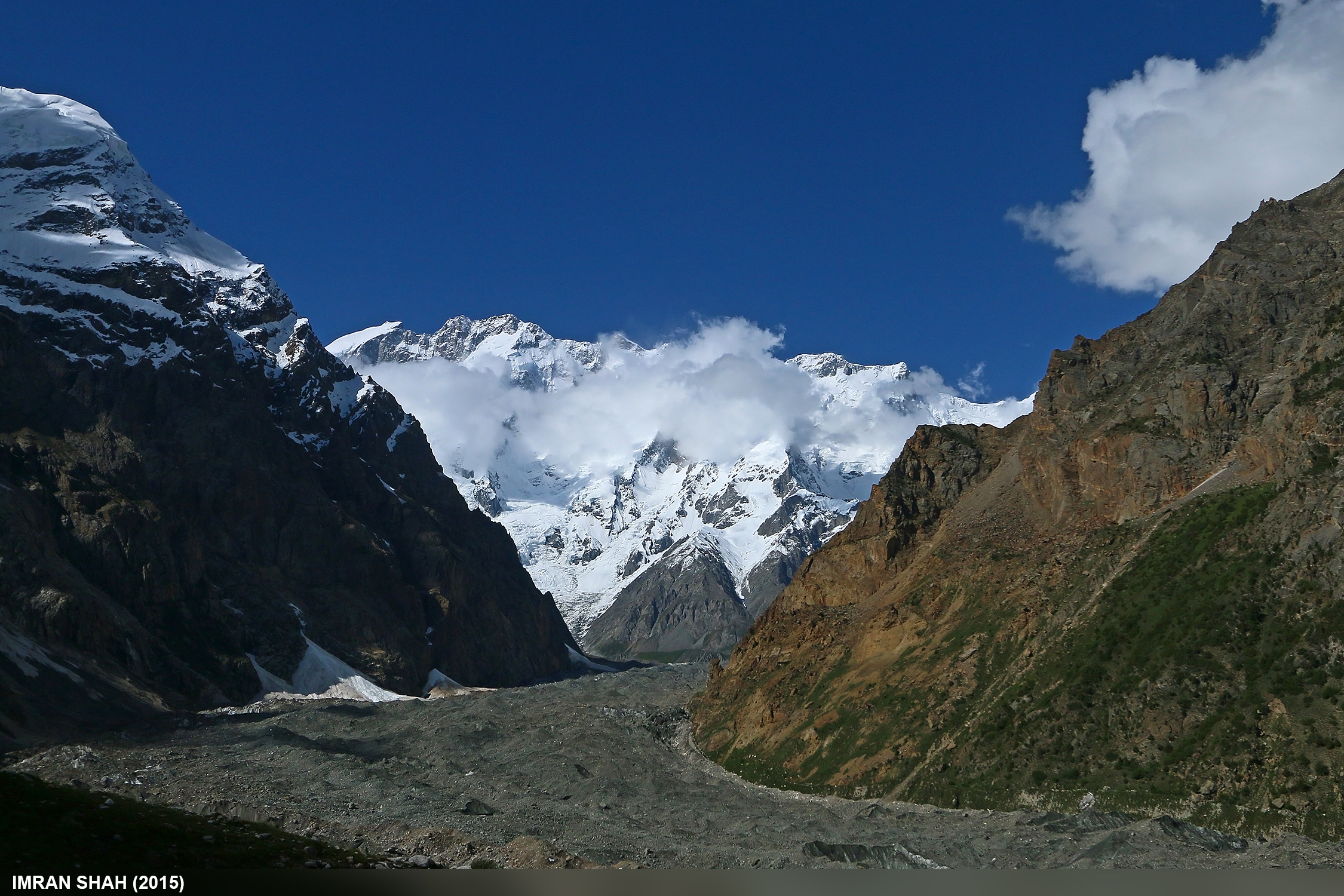
Related Photos:
Golden Peak from Gutum Talji
Gutum Talji
Spantik (7027m)
Batura Wall
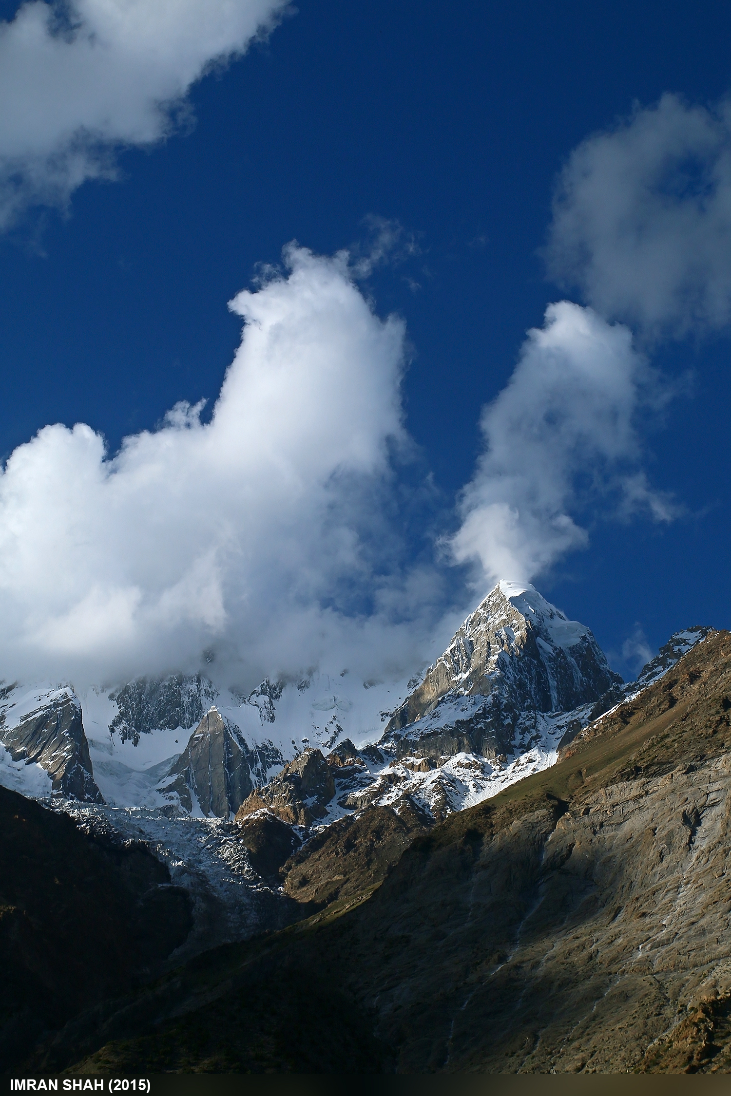
Batura Peak from Gutum Talji
Datum Barasho

Waterfall in Hill-e-Ghuss
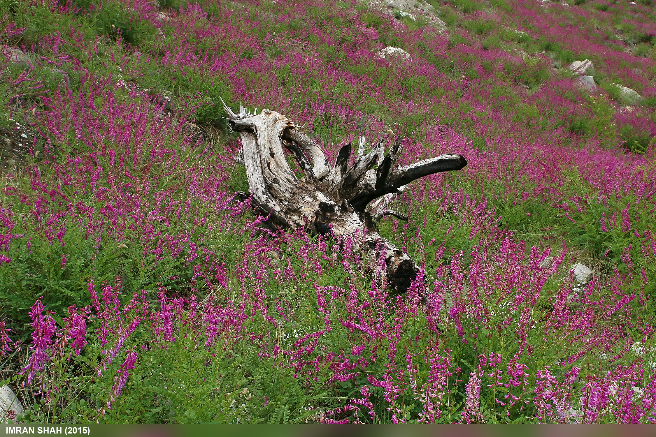
Flowers in Mandoszh
Achieving heights - Batura Muztagh Karakoram Pakistan #KarakoramMountains #Sky #Mountains #Landscape #Trek
Into the snow #muchuharvalley #gutumtalji #baturamuztagh #karakuram
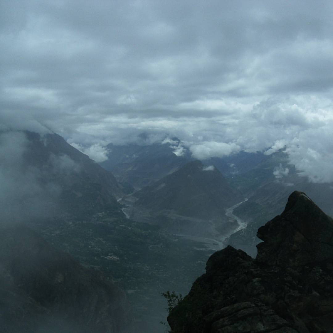
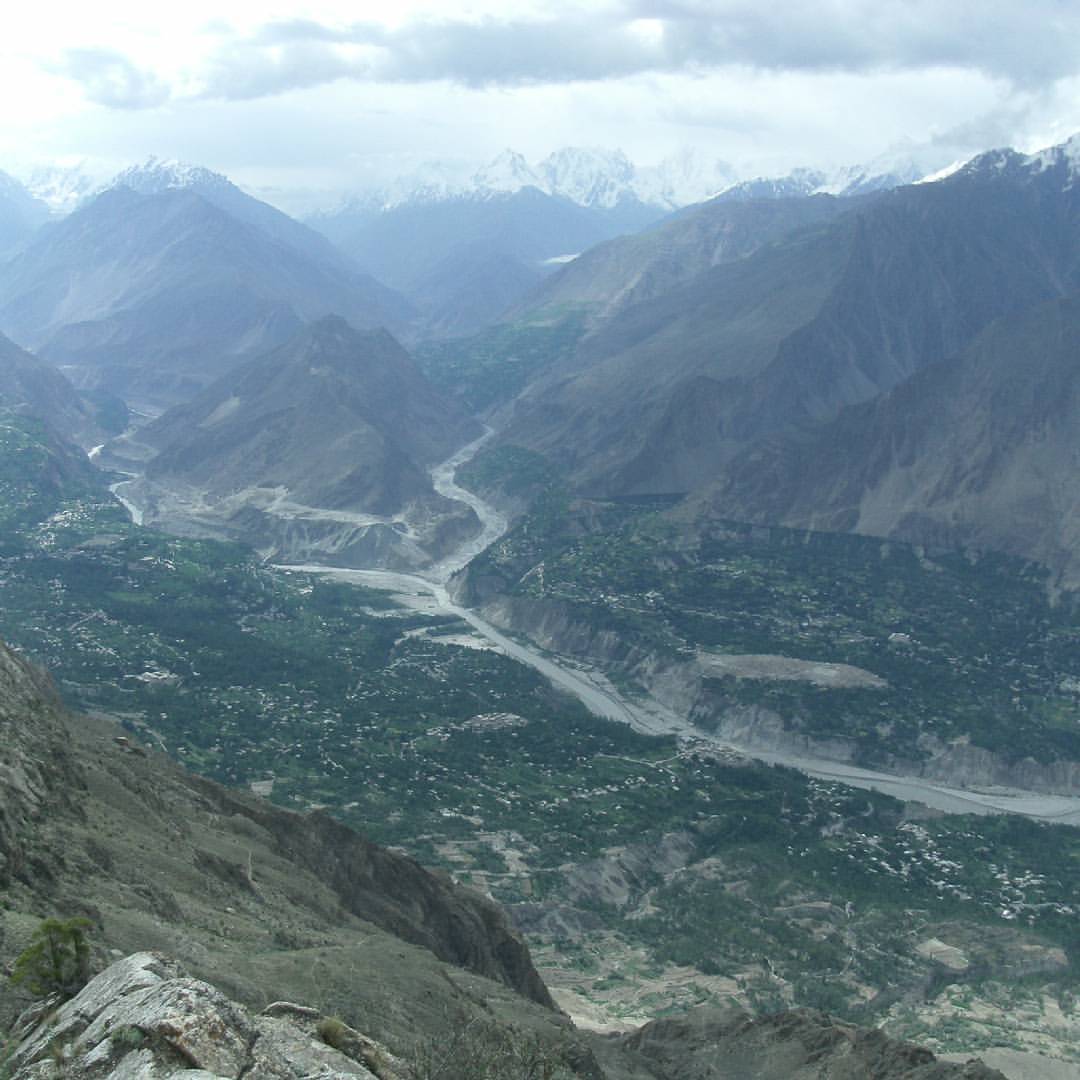
Hunza and Hispar rivers flow from the heavens of Hispar and Batura Muztagh in the western Karakoram - Furu Haar Aliabad Hunza Pakistan #Valleys #Souls #Mountains #Clouds #Glacier
East ridge of Mount Domani, Nagar Valley Karakoram Pakistan #karakorammountains #nagar #domani #Trek

Sangemarmar Sar (7,000m) Muchuhar Valley Hunza Pakistan #sangemarmarsar #muchuharvalley #baturamuztagh
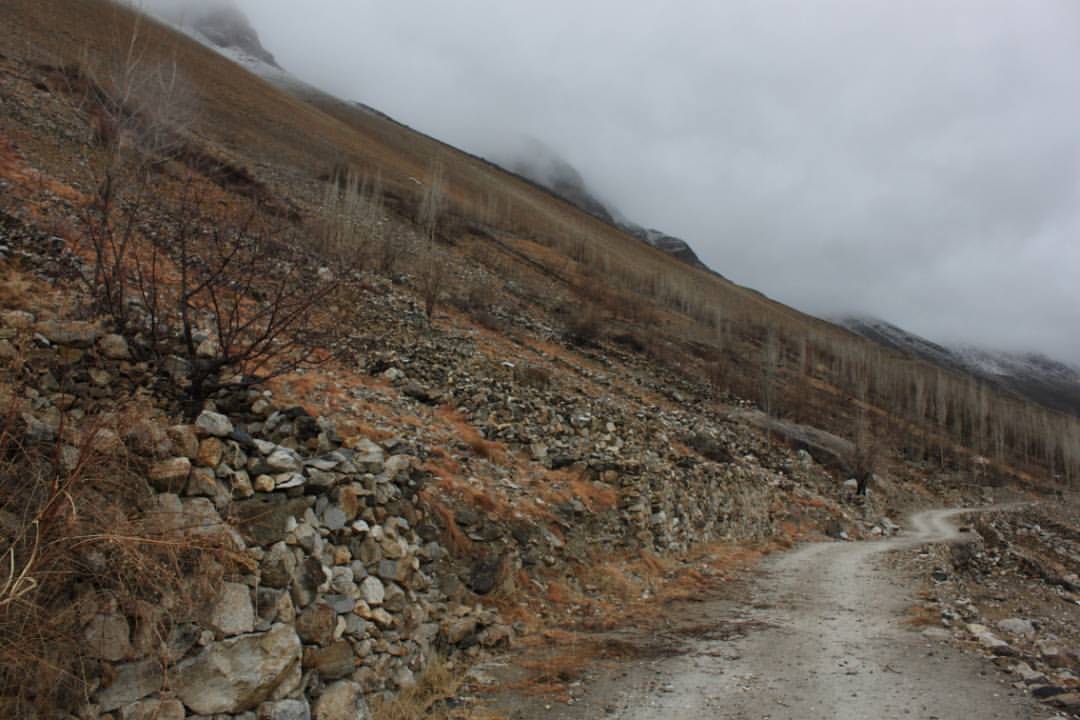
The mountain ways after rain - Karakoram #BaturaMuztagh #karakoram #hunzastate #kanjut
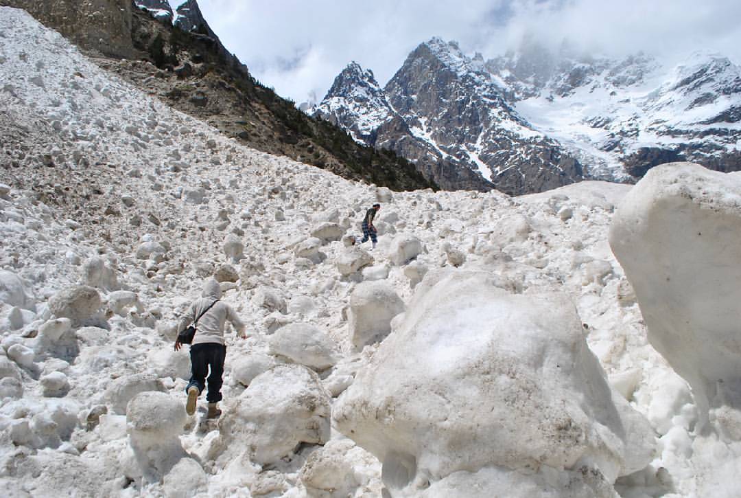
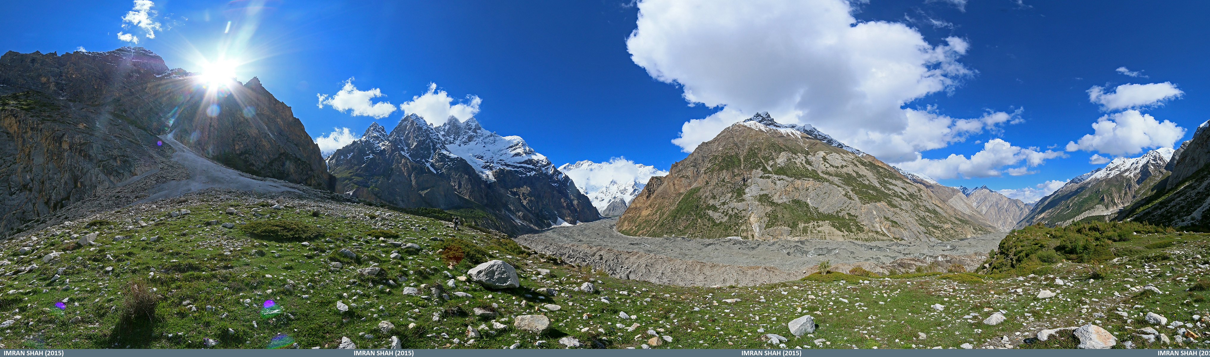
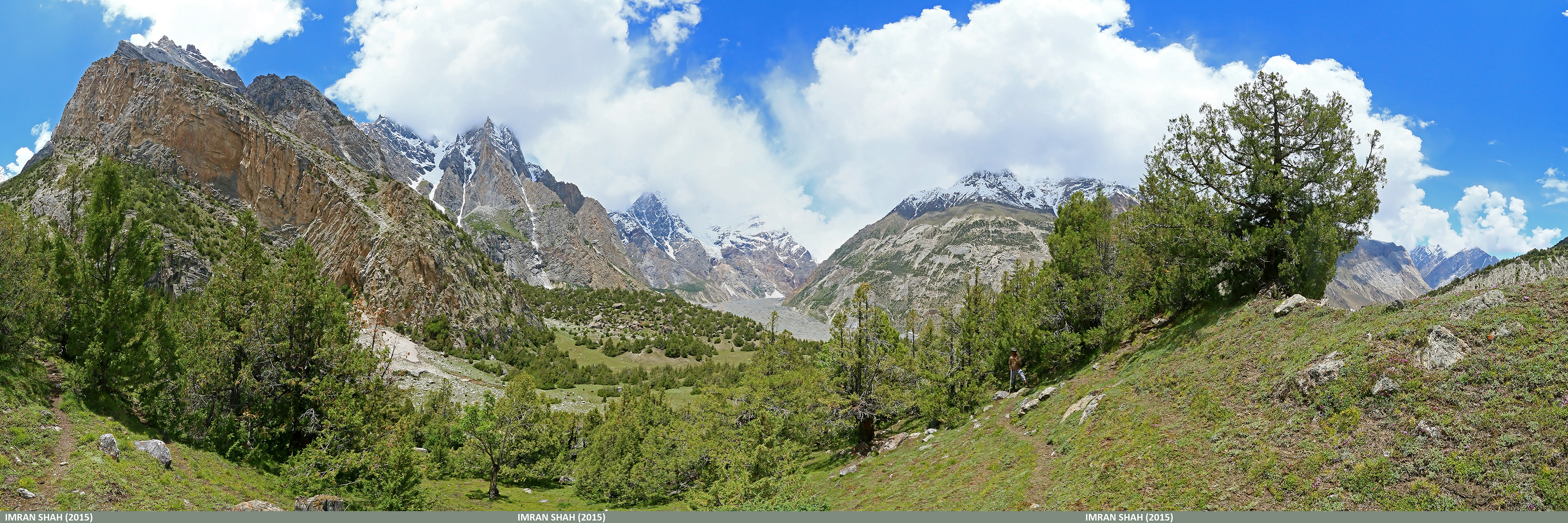
High altitude trek around Batura Muztagh - Karakoram Pakistan #BaturaMuztagh #KarakoramMountains #Nature #Outdoor #Lush #Trek #Rivers
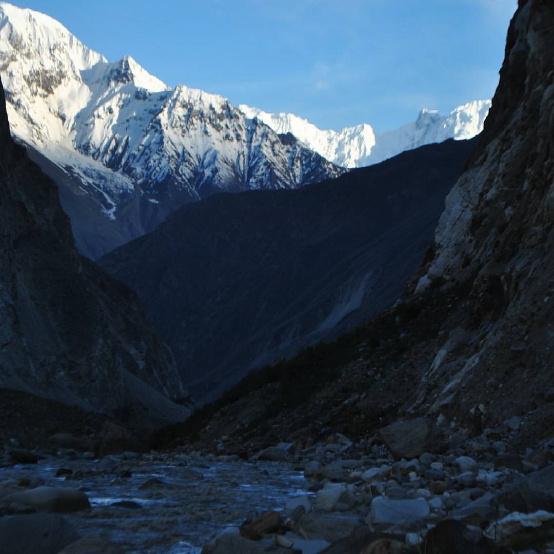
Muchuhar valley, Batura Muztagh Hunza Pakistan #baturamuztagh #muchuharvalley #baturasar

Rufous-breasted Accentor (Prunella strophiata)
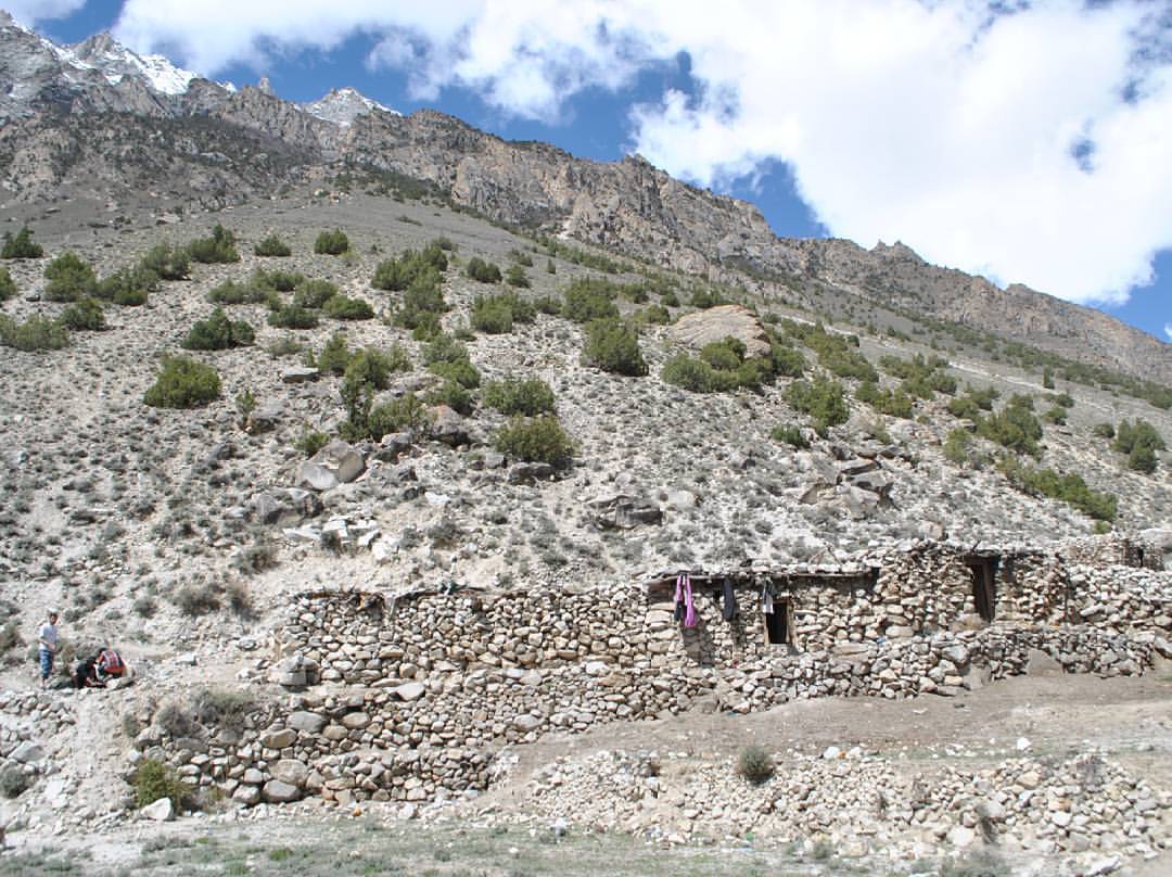
Datumbaresho Harag, Muchuhar Valley Batura Muztagh Karakoram Pakistan #shepherd #Nomadic #karakoram #muchuharvalley
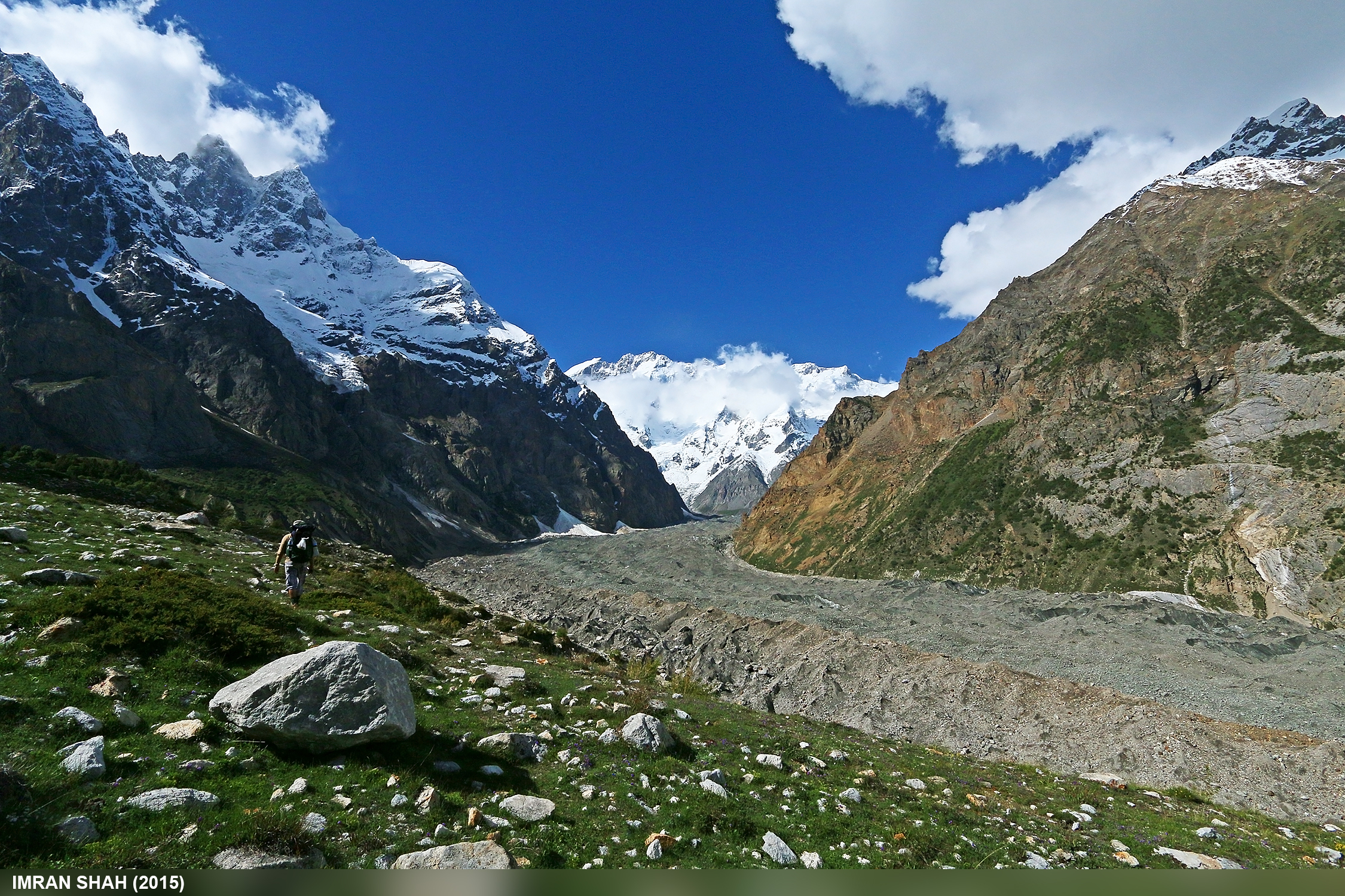
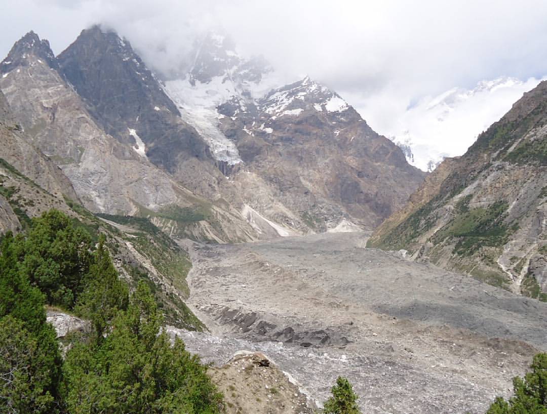
Batura Peak and Glaciers from Gutum Talji in Aliabad Pasture
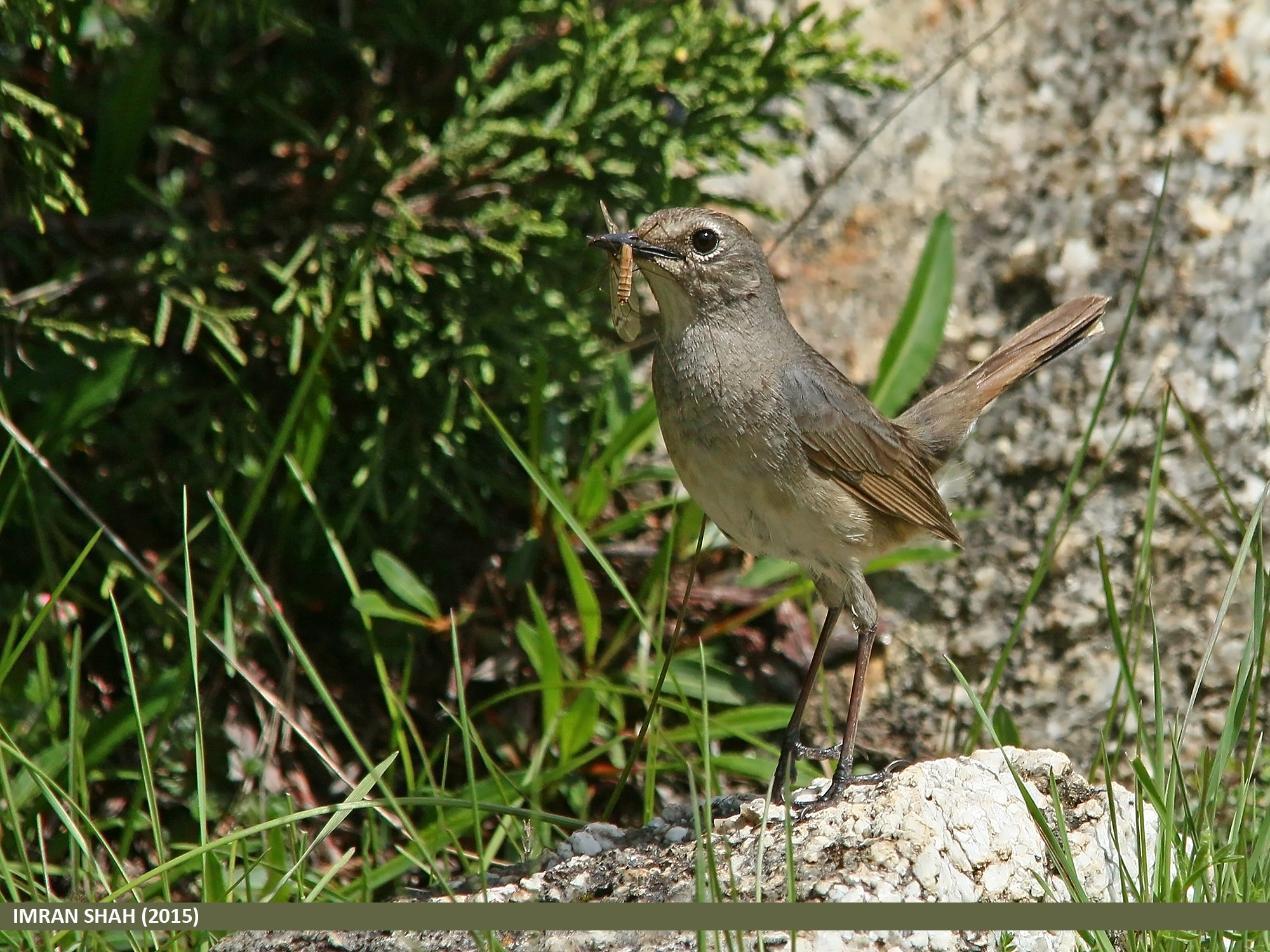
White-tailed Rubythroat (Luscinia pectoralis)
Mandoszh in Aliabad Pasture
Topographic Map of Batura Sar
Find elevation by address:

Places near Batura Sar:
Toltar
Nilt
Chalt
Rakaposhi
Jaglot
Chari Khand
Naltar Valley
Nomal Valley
Naltar Lake 4
Naltar Lake
Bagrote Road
Gilgit-baltistan Monument
Gilgit Airport
Gilgit
Sherqilla
Minawar
Ishkoman
Chatorkhand
Gahkuch
Makuli Yasin Valley
Recent Searches:
- Elevation of Corso Fratelli Cairoli, 35, Macerata MC, Italy
- Elevation of Tallevast Rd, Sarasota, FL, USA
- Elevation of 4th St E, Sonoma, CA, USA
- Elevation of Black Hollow Rd, Pennsdale, PA, USA
- Elevation of Oakland Ave, Williamsport, PA, USA
- Elevation of Pedrógão Grande, Portugal
- Elevation of Klee Dr, Martinsburg, WV, USA
- Elevation of Via Roma, Pieranica CR, Italy
- Elevation of Tavkvetili Mountain, Georgia
- Elevation of Hartfords Bluff Cir, Mt Pleasant, SC, USA