Elevation map of Battle Mountain, NV, USA
Location: United States > Nevada > Battle Mountain >
Longitude: -116.98524
Latitude: 40.3551933
Elevation: 1660m / 5446feet
Barometric Pressure: 83KPa
Elevation Map:
Satellite Map:
Related Photos:

Surrealist Landscapes

Mt. Lewis, Nevada

Mill Creek Campground (burned to the ground)

2020-03-25 0174.jpg

Clouds (2)

Destroyed trailer
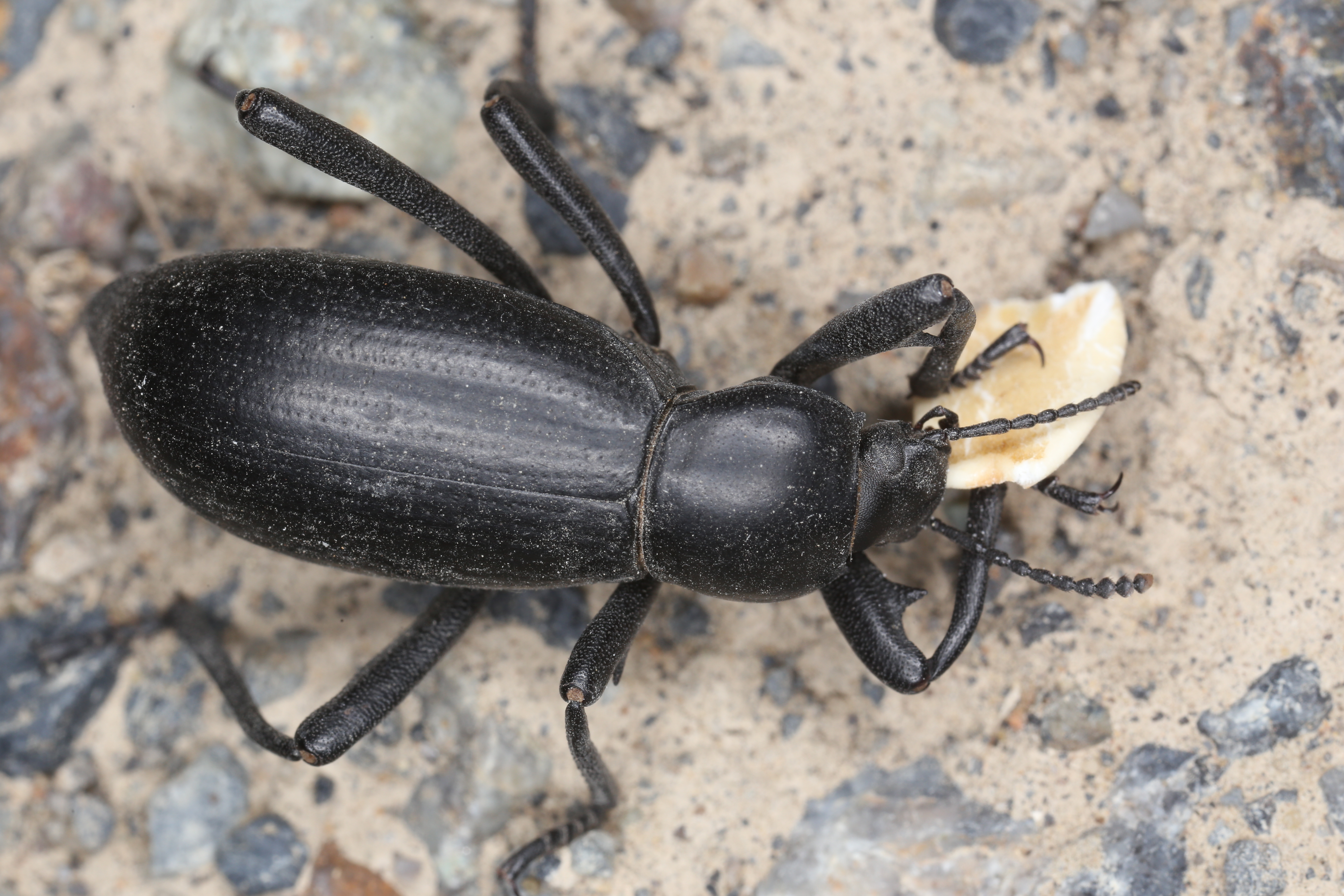
Eledodes armatus

Eledodes armatus

Eledodes armatus
Eledodes armatus

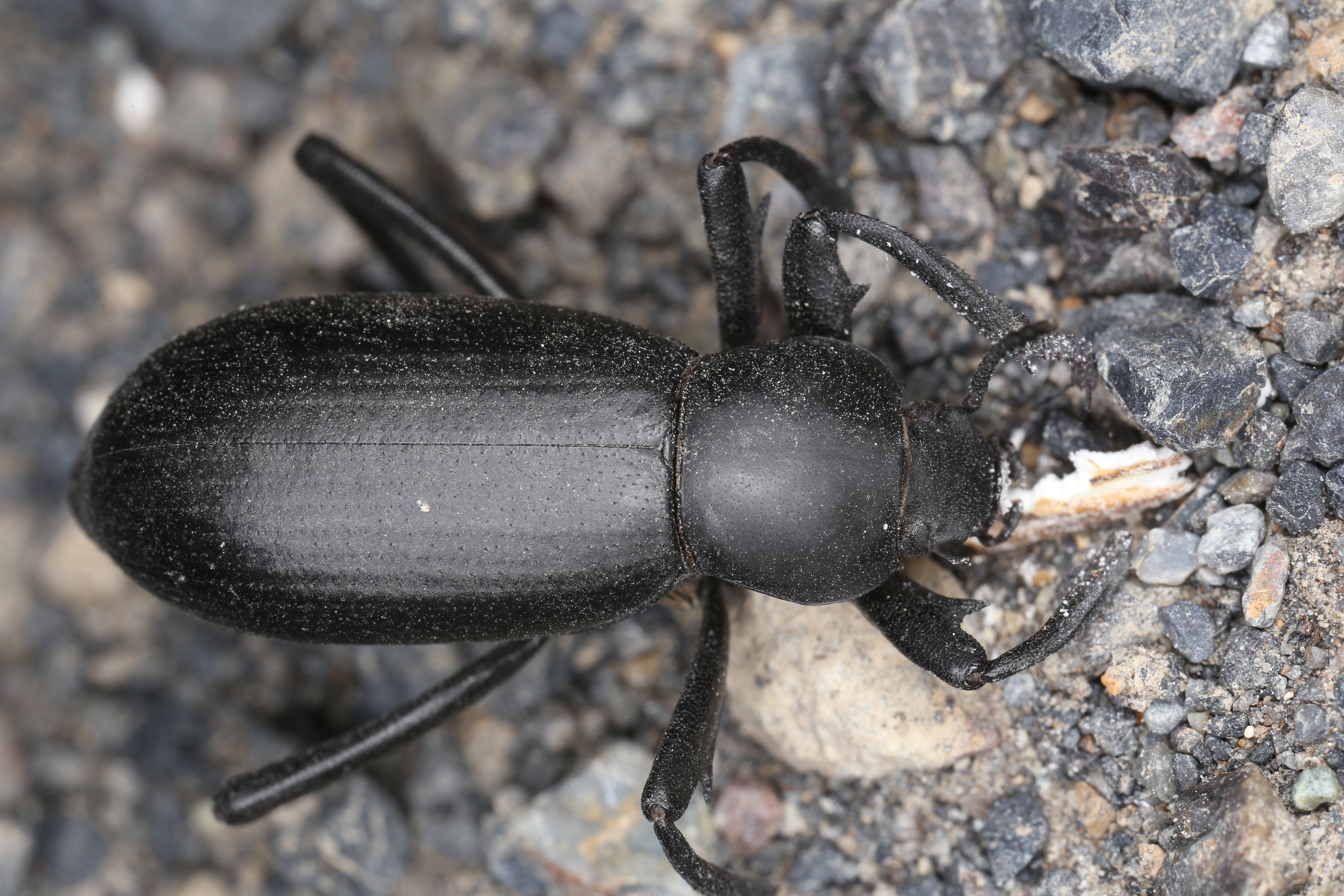
Eleodes hispilabris

Eledodes armatus

L1004980.jpg

L1004979.jpg

L1004976.jpg
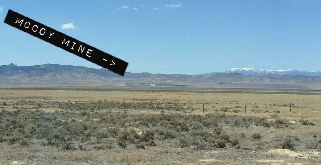
McCoy Mine

Mom & I on the road

20111008-038

20111008-036

20111008-035

20111008-034
Topographic Map of Battle Mountain, NV, USA
Find elevation by address:

Places near Battle Mountain, NV, USA:
Battle Mountain
Lander County
North Peak
Mount Moses
China Mountain
Buffalo Mountain
Mount Tobin
Mount Callaghan
Cain Mountain
Great Basin
Bates Mountain
Anthony Road
Granite Mountain
Eagle Butte
New Pass Peak
Austin
Mill City
Mount Augusta
Cold Springs Station
Recent Searches:
- Elevation of Congressional Dr, Stevensville, MD, USA
- Elevation of Bellview Rd, McLean, VA, USA
- Elevation of Stage Island Rd, Chatham, MA, USA
- Elevation of Shibuya Scramble Crossing, 21 Udagawacho, Shibuya City, Tokyo -, Japan
- Elevation of Jadagoniai, Kaunas District Municipality, Lithuania
- Elevation of Pagonija rock, Kranto 7-oji g. 8"N, Kaunas, Lithuania
- Elevation of Co Rd 87, Jamestown, CO, USA
- Elevation of Tenjo, Cundinamarca, Colombia
- Elevation of Côte-des-Neiges, Montreal, QC H4A 3J6, Canada
- Elevation of Bobcat Dr, Helena, MT, USA