Elevation of Battle Creek Rd SE, Salem, OR, USA
Location: United States > Oregon > Marion County > Salem >
Longitude: -122.99150
Latitude: 44.8600159
Elevation: 175m / 574feet
Barometric Pressure: 99KPa
Elevation Map:
Satellite Map:
Related Photos:
Rolling Ridge

A Capitol Spring
Powerfully Fortified Grain

An early autumn morning walk in the park

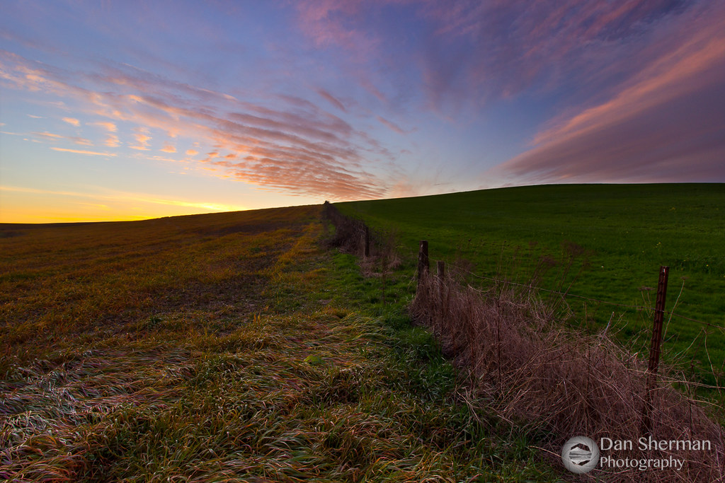
Super Sunrise in Salem

Salem Cherry Blossoms Panorama

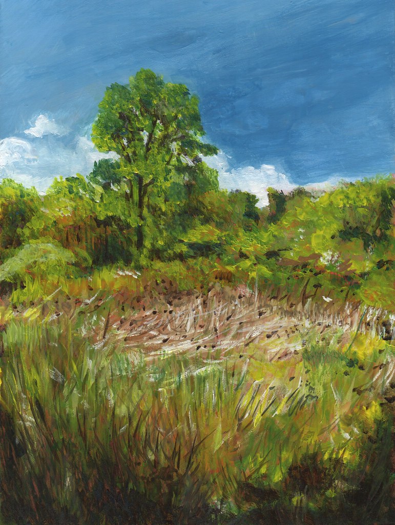
Country Air

Home Detour
River Monoprint

Row 343

To Wonder At Its Vastness

Spring Has Sprung!
Tree Path

Into the dark, deep, beautiful blue sky, we spread our wings...

The Off-Season
Snag Boat Bend
Thistles Minto Island Park
It’s The Weekend!
The Grass is Greener

Summer’s End
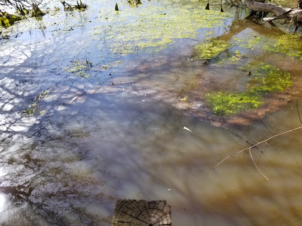
Green Slough
Topographic Map of Battle Creek Rd SE, Salem, OR, USA
Find elevation by address:

Places near Battle Creek Rd SE, Salem, OR, USA:
3524 Deer Lake Ct Se
Deer Lake Court Southeast
3076 Fir Tree Dr Se
3316 Deer Lake Ct Se
5585 Serenity Dr Se
6383 Inspiration Ln Se
Battle Creek Road Southeast
2768 Tahoe Ave Se
2120 Robins Ln Se
2120 Robins Ln Se
Miners Way Southeast
3780 Boone Rd Se
Nougat Court Southeast
5470 Woodmill Dr Se
2041 Wiltsey Ct Se
6446 Fairway Ave Se
5966 Belknap Springs St Se
5098 Cultus Ave Se
2280 Delaney Rd Se
1980 Madras St Se
Recent Searches:
- Elevation of East W.T. Harris Boulevard, E W.T. Harris Blvd, Charlotte, NC, USA
- Elevation of West Sugar Creek, Charlotte, NC, USA
- Elevation of Wayland, NY, USA
- Elevation of Steadfast Ct, Daphne, AL, USA
- Elevation of Lagasgasan, X+CQH, Tiaong, Quezon, Philippines
- Elevation of Rojo Ct, Atascadero, CA, USA
- Elevation of Flagstaff Drive, Flagstaff Dr, North Carolina, USA
- Elevation of Avery Ln, Lakeland, FL, USA
- Elevation of Woolwine, VA, USA
- Elevation of Lumagwas Diversified Farmers Multi-Purpose Cooperative, Lumagwas, Adtuyon, RV32+MH7, Pangantucan, Bukidnon, Philippines