Elevation of Batlagundu, Tamil Nadu, India
Location: India > Tamil Nadu > Dindigul >
Longitude: 77.7590882
Latitude: 10.1637601
Elevation: 237m / 778feet
Barometric Pressure: 99KPa
Elevation Map:
Satellite Map:
Related Photos:
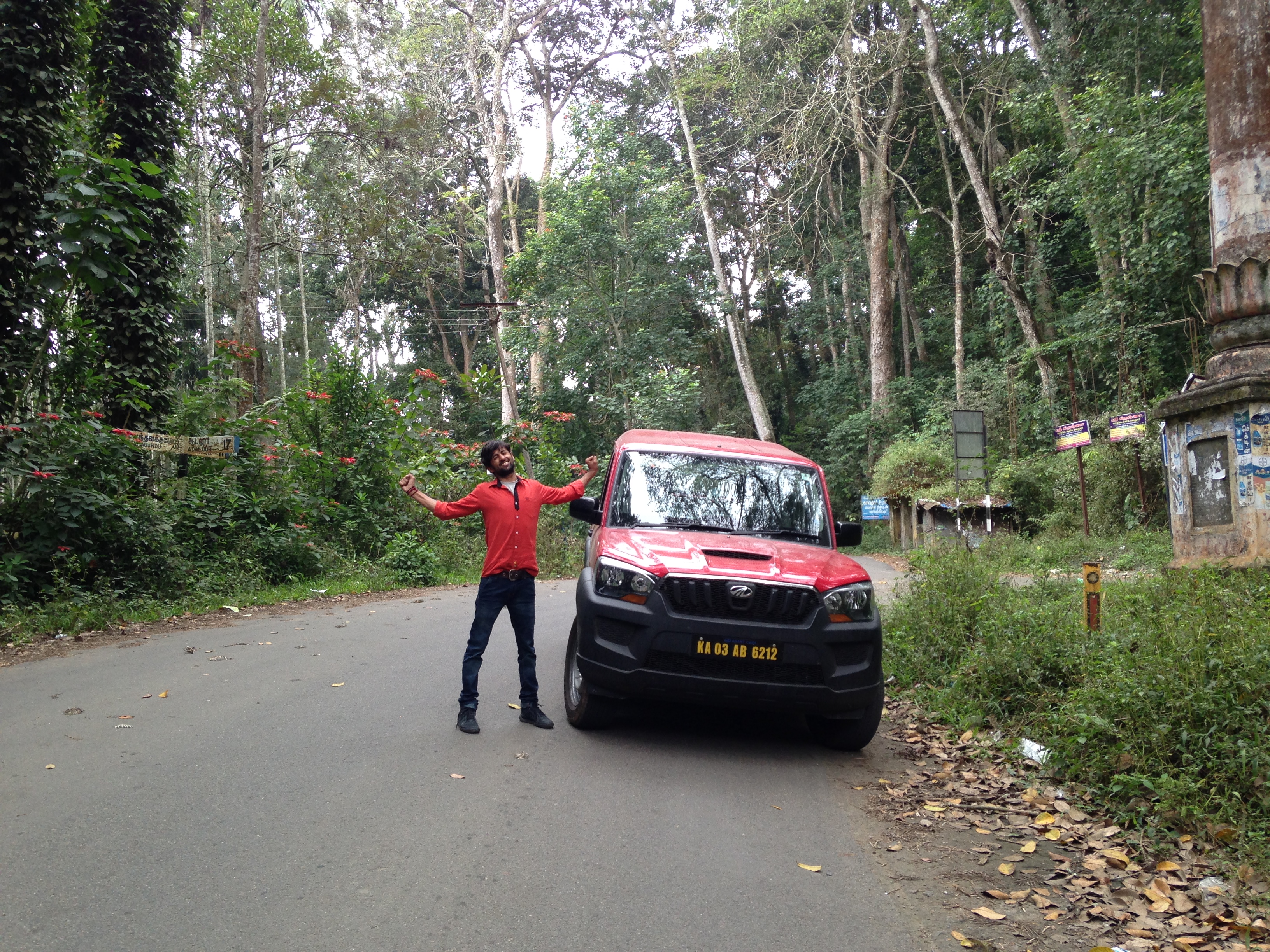
Govinda Rajpurohit Visit to Princess of Hills Kodaikanal

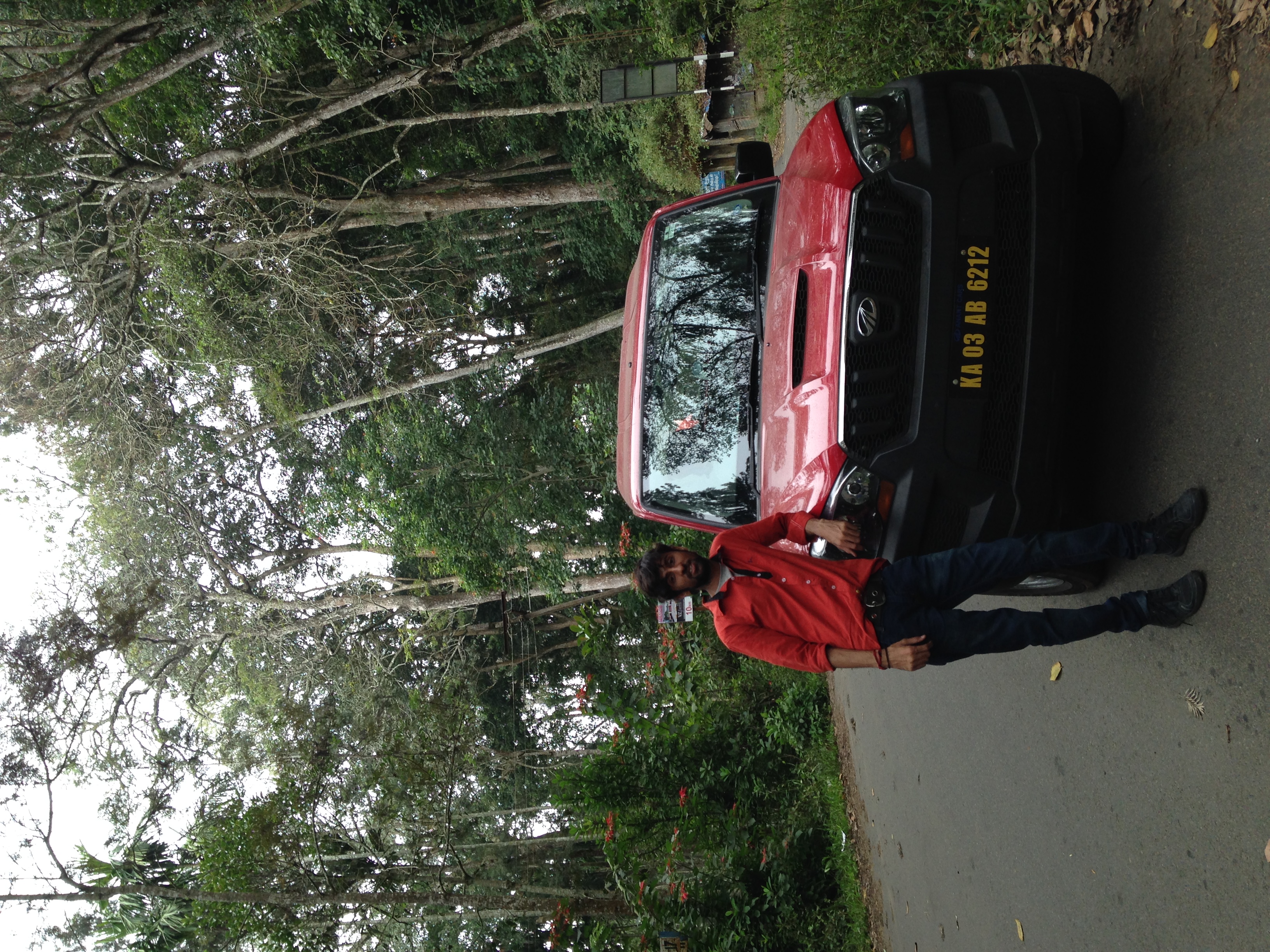
Govinda Rajpurohit Visit to Princess of Hills Kodaikanal
Govinda Rajpurohit Visit to Princess of Hills Kodaikanal

IMG_20180929_064921-01

IMG_20180929_063607-01

Cesta do Kodaikanal

Thalaiyar Falls @ Rat Tail Falls

Manjalar Dam Reservoir, on-the-way from Madurai to Kodaikanal

1983-13-35

1983-13-36
Topographic Map of Batlagundu, Tamil Nadu, India
Find elevation by address:

Places near Batlagundu, Tamil Nadu, India:
Genguvarpatti
Ayyampalayam
Kamaghati
Manjalar Dam View
Perumparai
Pannaikadu
Kilakkuchettipatti
Usilampatti
Periyakulam
Andippatti
Vadipatti
Usilampatti Taluk
Reddiarchatram Sustainable Agriculture Producer Company Ltd.
Kannivadi
Perumalmalia
Sirumalai Hills
Sirumalai
Vadakavunji Junction
Lion Resorts (lion Bungalow/singam Bungalow)
M A S Maligai
Recent Searches:
- Elevation of Côte-des-Neiges, Montreal, QC H4A 3J6, Canada
- Elevation of Bobcat Dr, Helena, MT, USA
- Elevation of Zu den Ihlowbergen, Althüttendorf, Germany
- Elevation of Badaber, Peshawar, Khyber Pakhtunkhwa, Pakistan
- Elevation of SE Heron Loop, Lincoln City, OR, USA
- Elevation of Slanický ostrov, 01 Námestovo, Slovakia
- Elevation of Spaceport America, Co Rd A, Truth or Consequences, NM, USA
- Elevation of Warwick, RI, USA
- Elevation of Fern Rd, Whitmore, CA, USA
- Elevation of 62 Abbey St, Marshfield, MA, USA