Elevation of Bath Township, IL, USA
Location: United States > Illinois > Mason County >
Longitude: -90.130779
Latitude: 40.1656731
Elevation: 145m / 476feet
Barometric Pressure: 100KPa
Elevation Map:
Satellite Map:
Related Photos:

338-Short-billed Dowitcher (breeding Prairie adult) Emiquon Wilder Tract Fulton County IL August 2009 Jeff Skrentny FB0812 IMG_0710
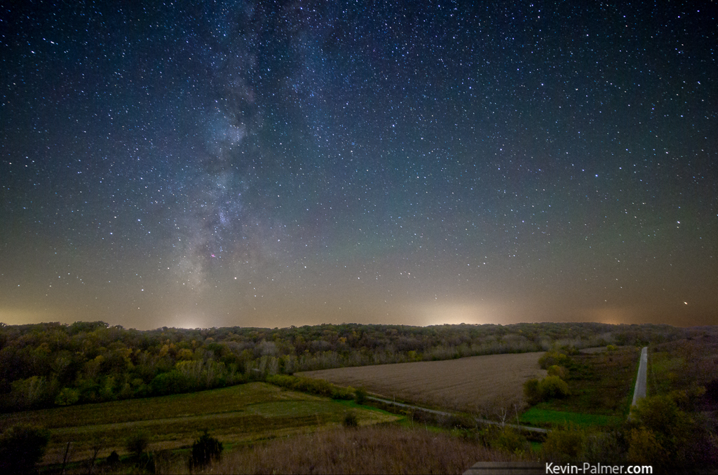
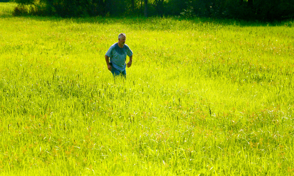
Hill Prairie Milky Way
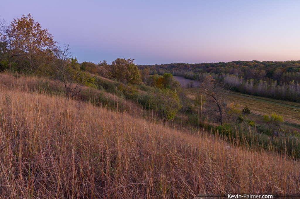
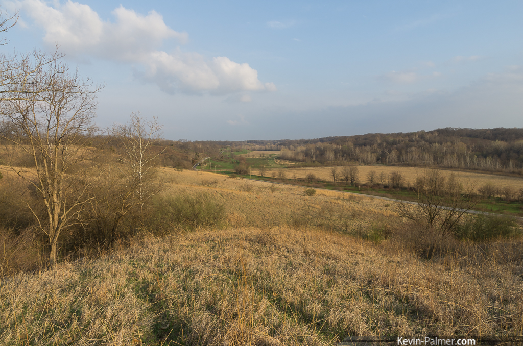
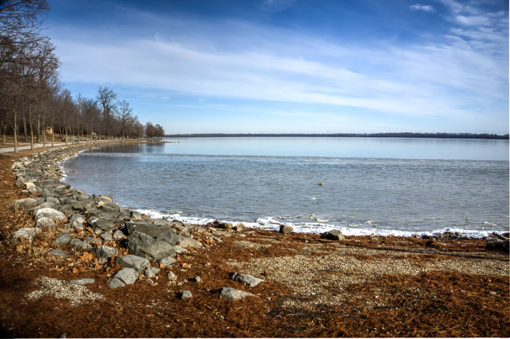
Hill Prairie South
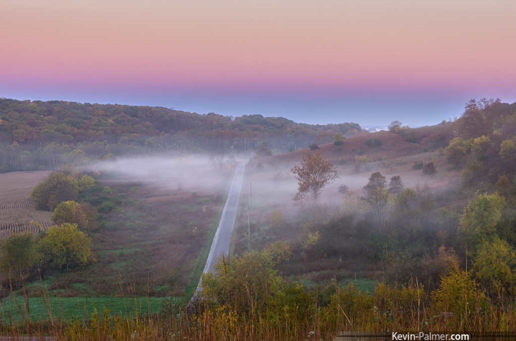
Valley Fog

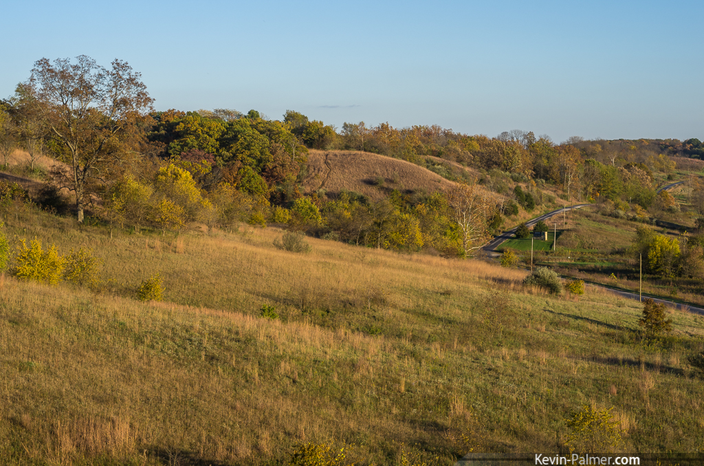
Chandlerville Hillside
Jim Edgar Bluffs
Above Creek Road
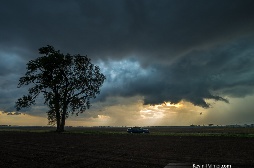
Gusty Scud
20150101_23014_5_6_s.jpg
20150101_23003_4_5_s.jpg

20150101_23139_40_41_s.jpg

20150101_22972_3_4_s.jpg
20150101_23121_2_3_s.jpg
20150101_22957_8_9_s.jpg
20150101_22942_3_4_s.jpg

Sunrise II
20150101_23118_19_20_s.jpg
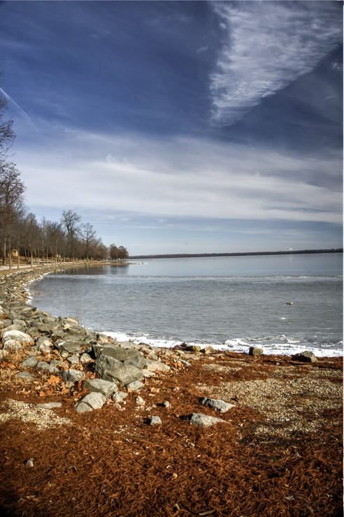
Along the levee
20150101_22966_7_8_s.jpg
20150101_22969_70_71_s.jpg

20150101_22997_8_9_s.jpg
20150101_22945_6_7_s.jpg
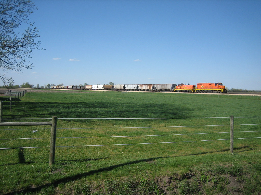
I&M SD18 60
20150101_23142_3_4_s.jpg
20150101_22960_1_2_s.jpg
20150101_22991_2_3_s.jpg
Topographic Map of Bath Township, IL, USA
Find elevation by address:

Places in Bath Township, IL, USA:
Places near Bath Township, IL, USA:
Bath Township
Bath Township
Bath Township
Bath
Bath
Bath
Bath
Bath
Bath
104-106
Co Rd 2, Chandlerville, IL, USA
IL-, Astoria, IL, USA
Chandlerville Township
English Ave, Chandlerville, IL, USA
Chandlerville
5th St, Kilbourne, IL, USA
Kilbourne
Havana
E Line Hwy, Astoria, IL, USA
Havana Township
Recent Searches:
- Elevation of Corso Fratelli Cairoli, 35, Macerata MC, Italy
- Elevation of Tallevast Rd, Sarasota, FL, USA
- Elevation of 4th St E, Sonoma, CA, USA
- Elevation of Black Hollow Rd, Pennsdale, PA, USA
- Elevation of Oakland Ave, Williamsport, PA, USA
- Elevation of Pedrógão Grande, Portugal
- Elevation of Klee Dr, Martinsburg, WV, USA
- Elevation of Via Roma, Pieranica CR, Italy
- Elevation of Tavkvetili Mountain, Georgia
- Elevation of Hartfords Bluff Cir, Mt Pleasant, SC, USA