Elevation of Batesburg-Leesville, SC, USA
Location: United States > South Carolina > Lexington County >
Longitude: -81.537326
Latitude: 33.9101425
Elevation: 200m / 656feet
Barometric Pressure: 99KPa
Elevation Map:
Satellite Map:
Related Photos:
A Camelia remains
Perfect Day
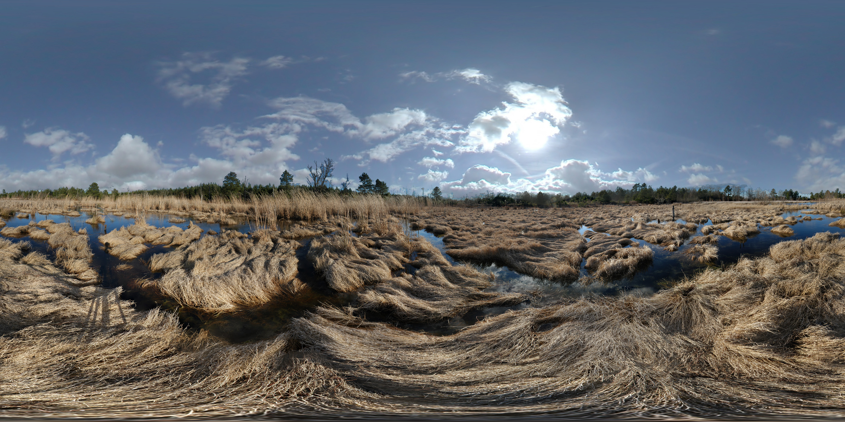
Janet Harrison Highpond Heritage Preserve

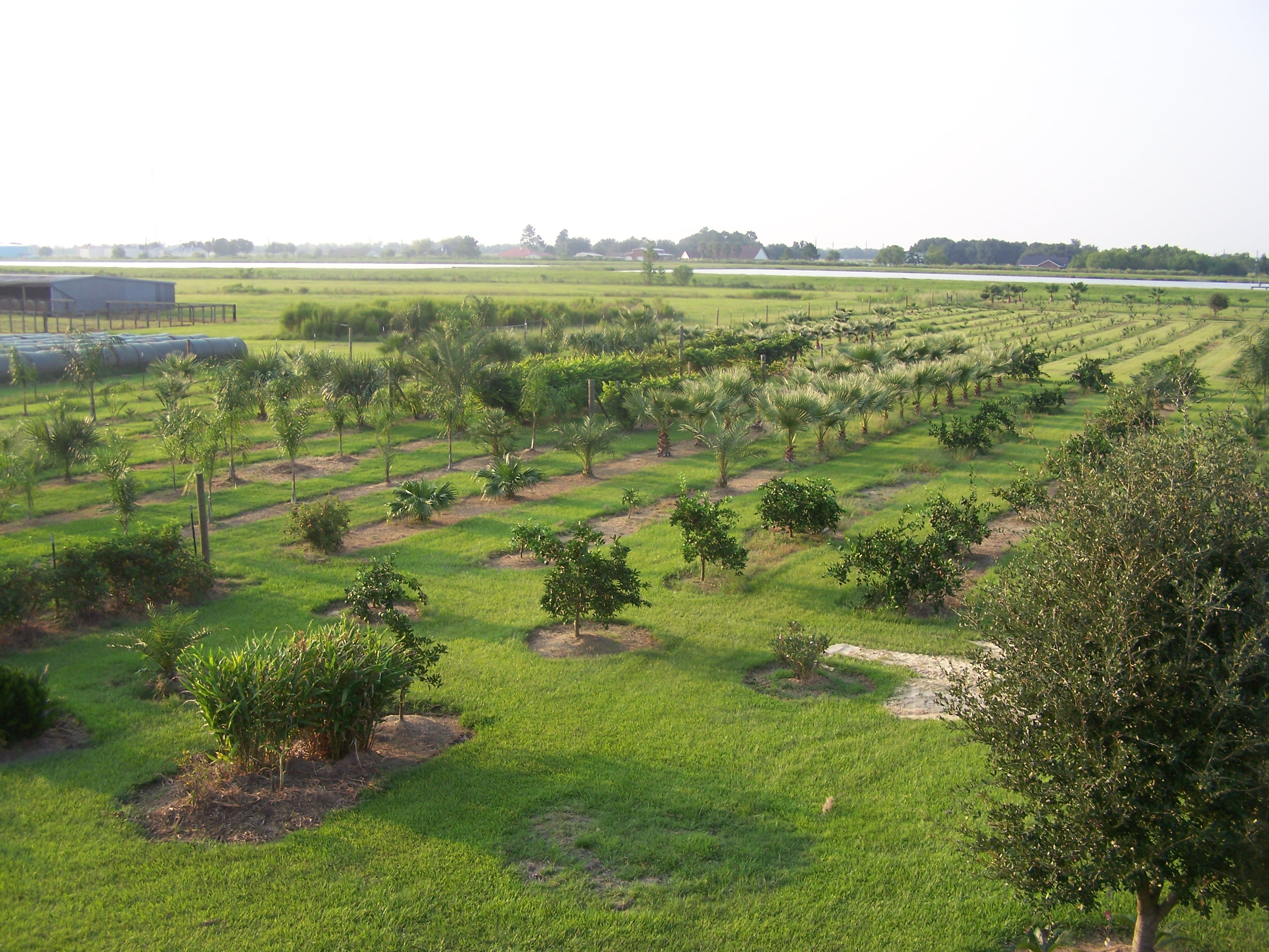
Watsonia Farms

EAT THIS CAKE!

01JAN12: hospitality
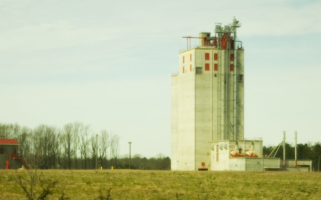
Grain Elevator
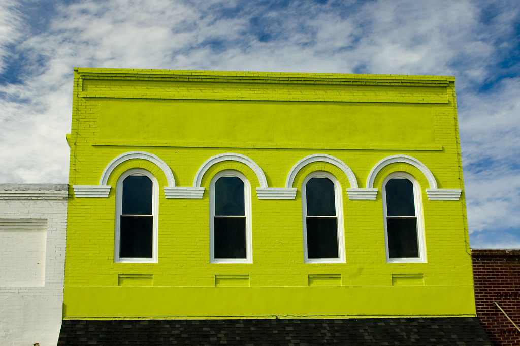
Batesburg 2
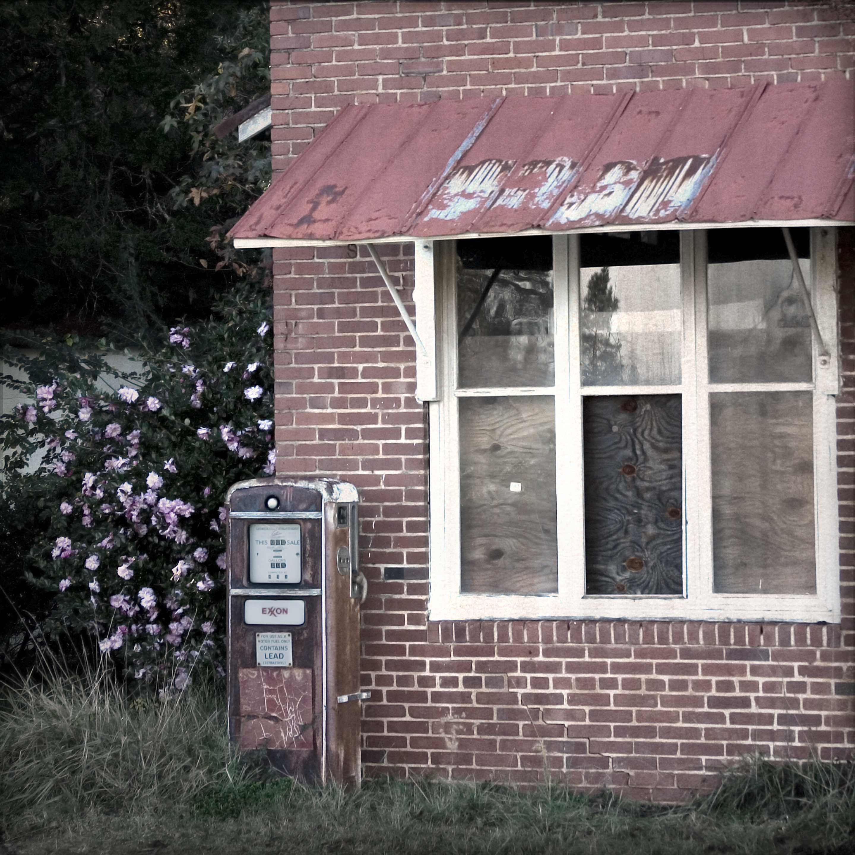
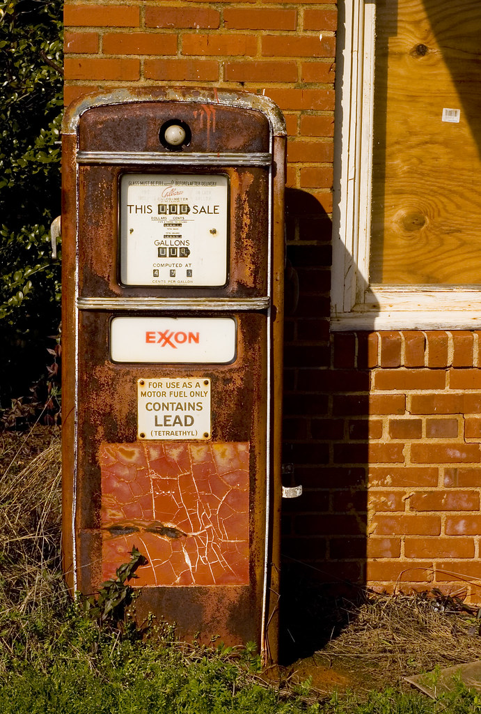
Old Gas Pump 2
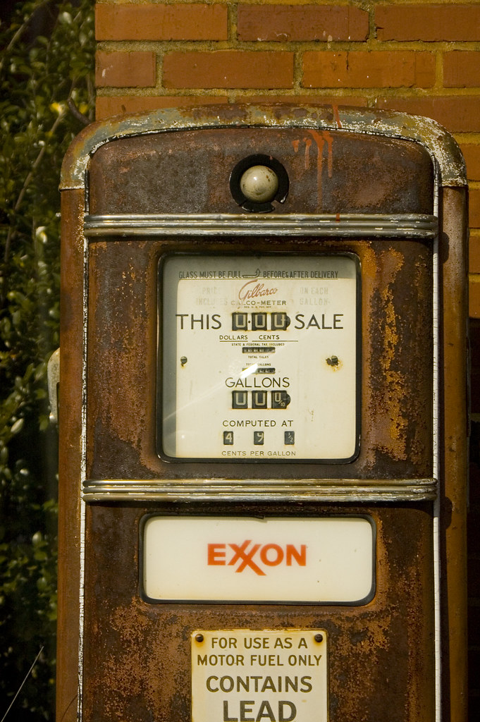
Old Gas Pump
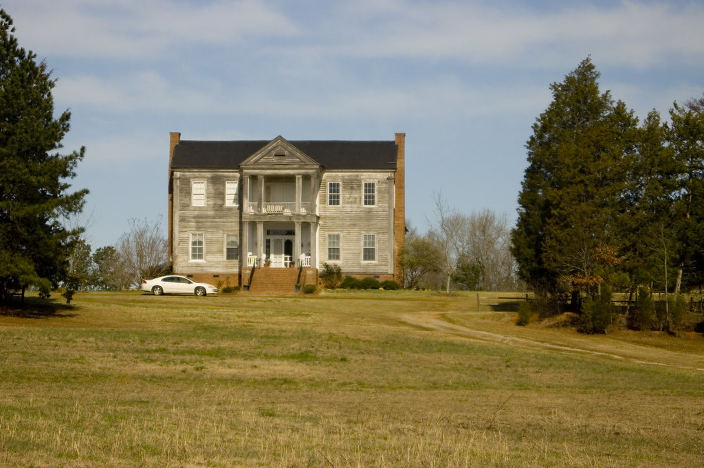
Old House

old farm house infrared
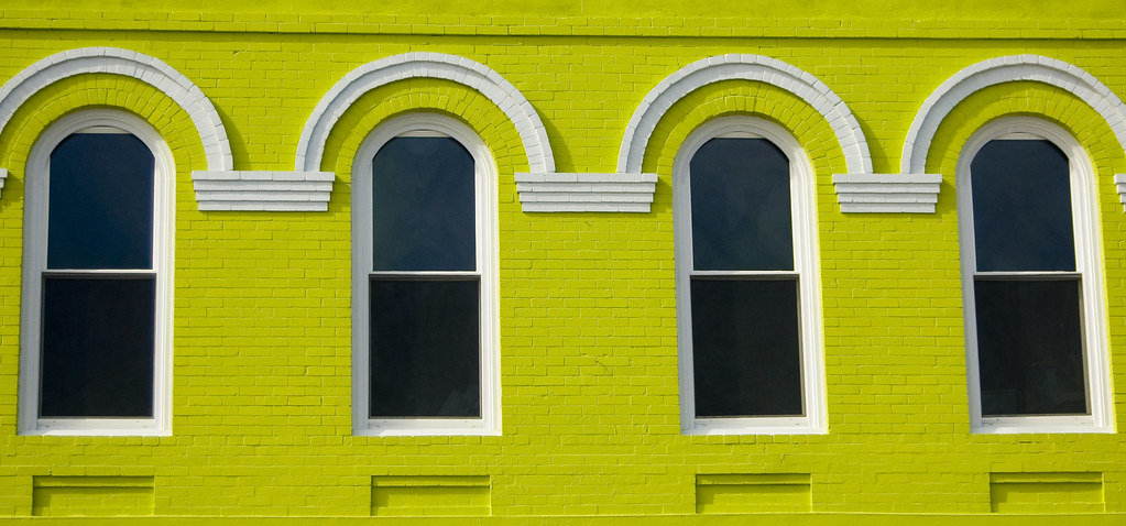
Batesburg 1

Big Mo

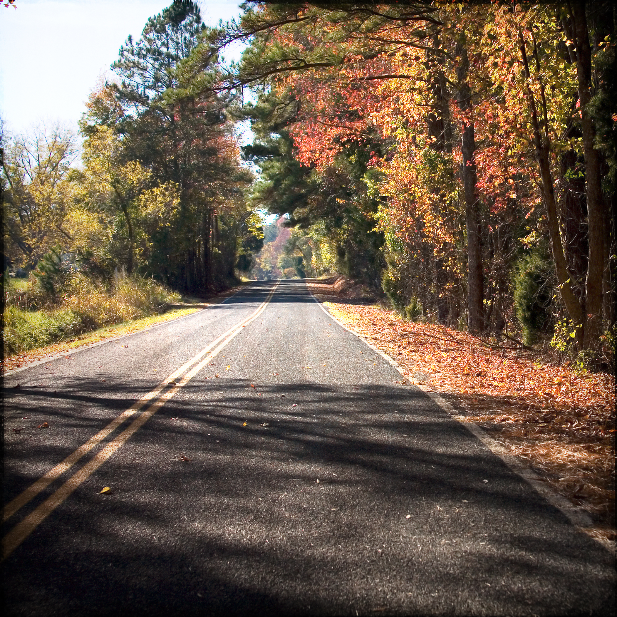
Charleston Avenue Finite

Cotton Field Sunrise
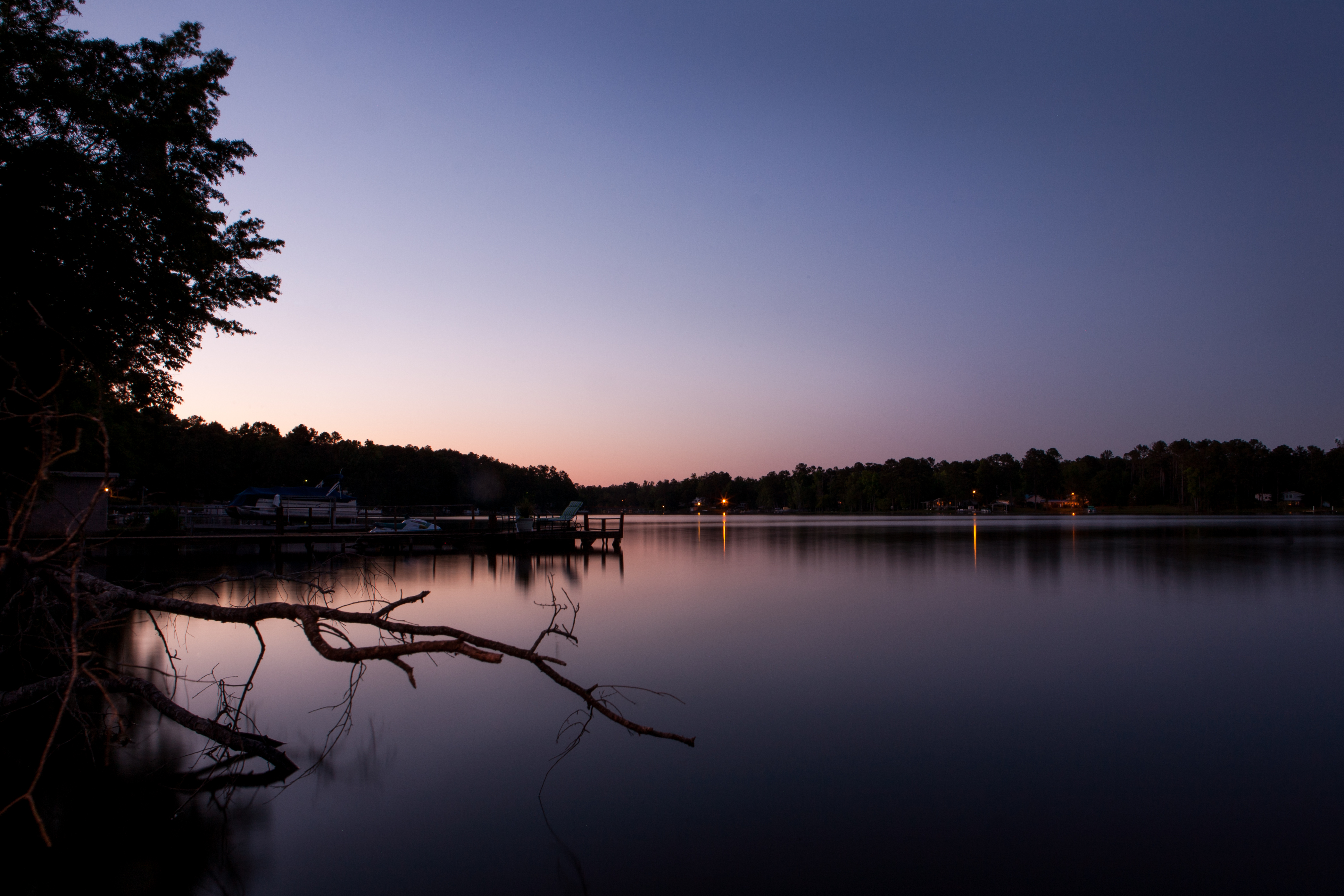
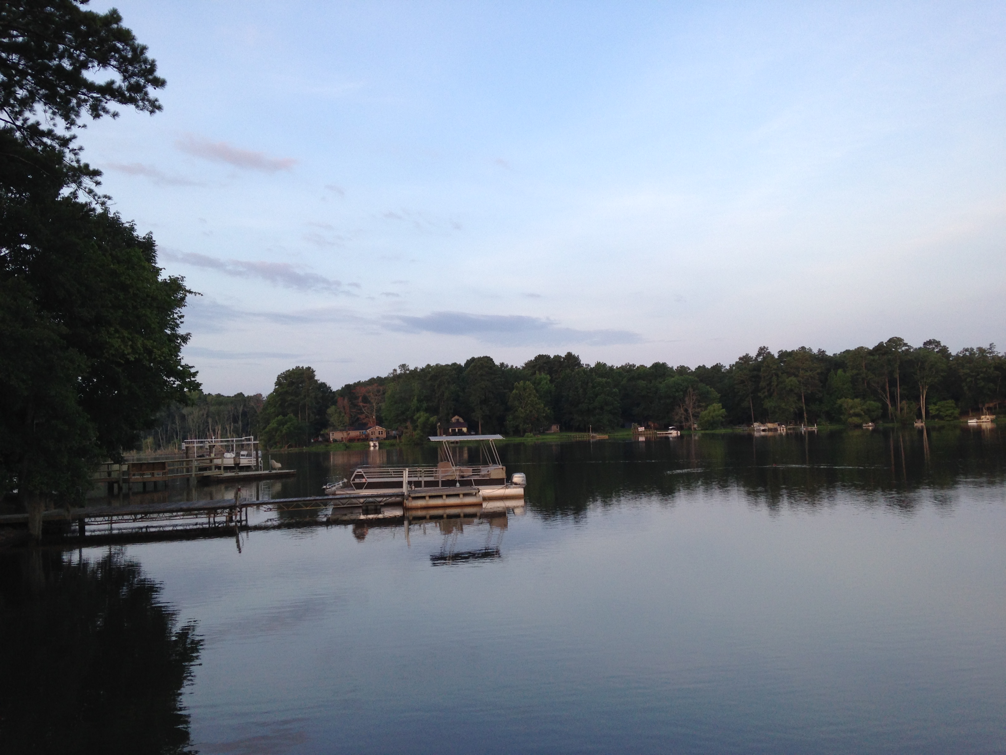
Sunset on the Lake
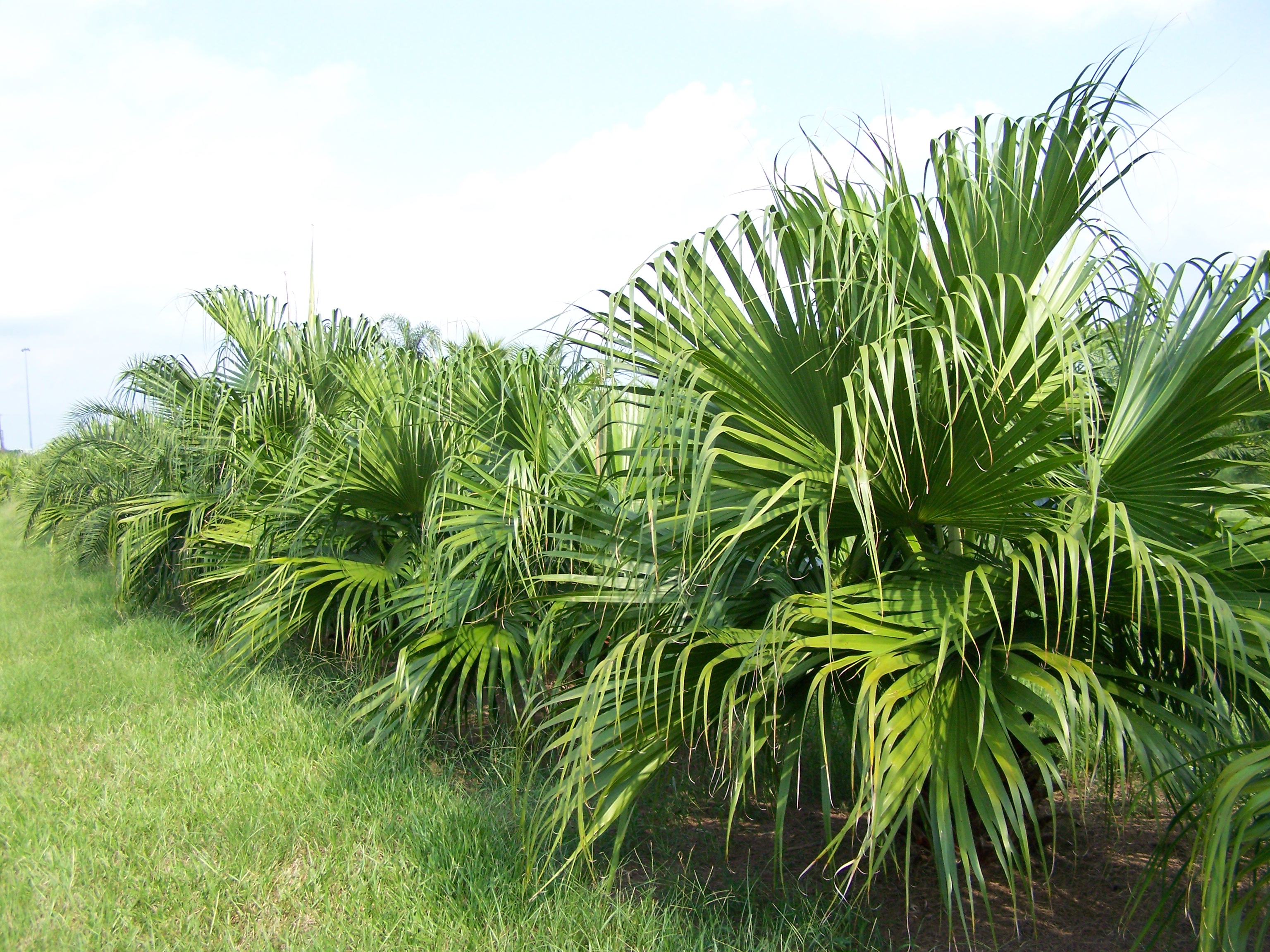
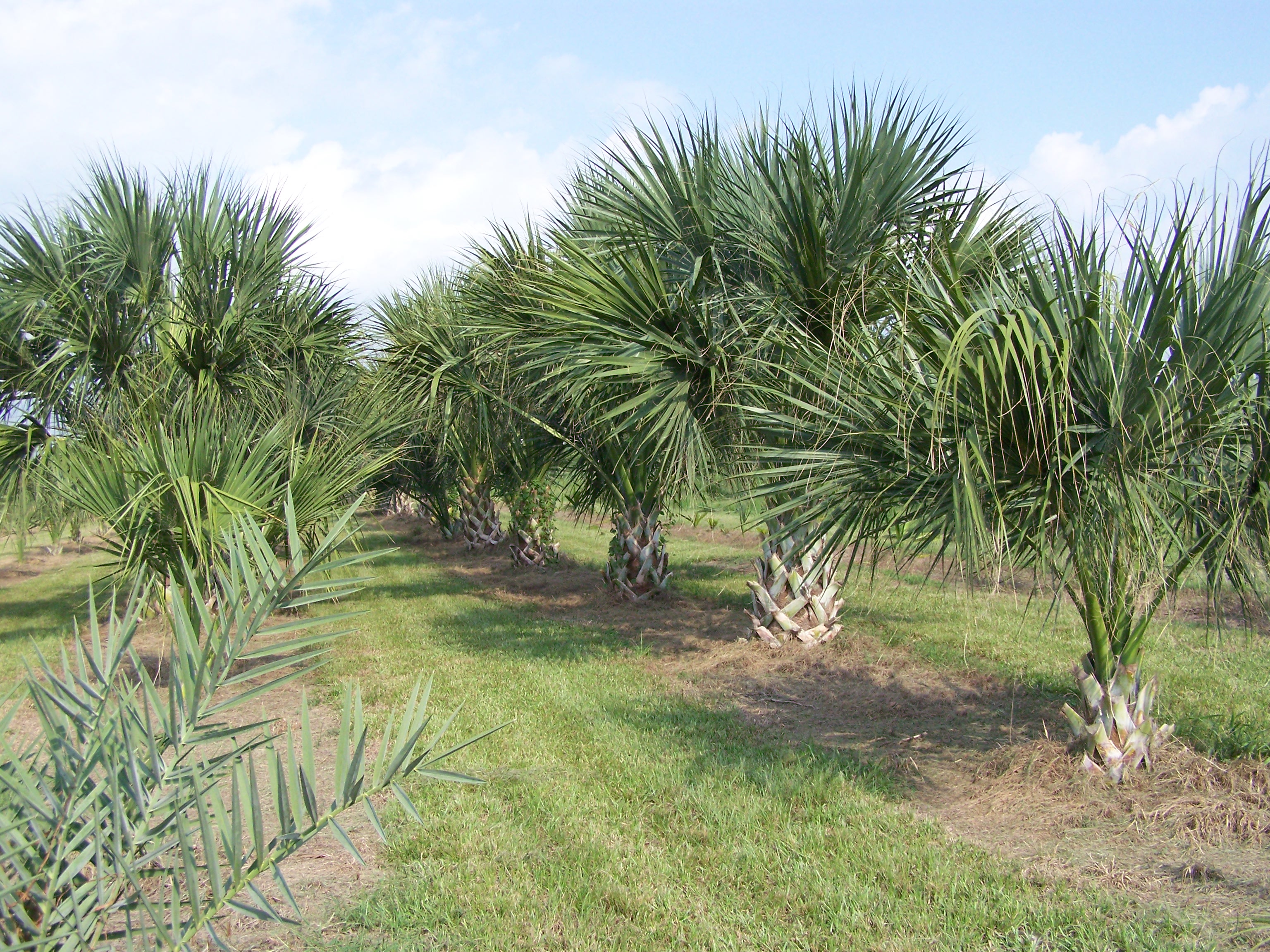
Chinese Fan
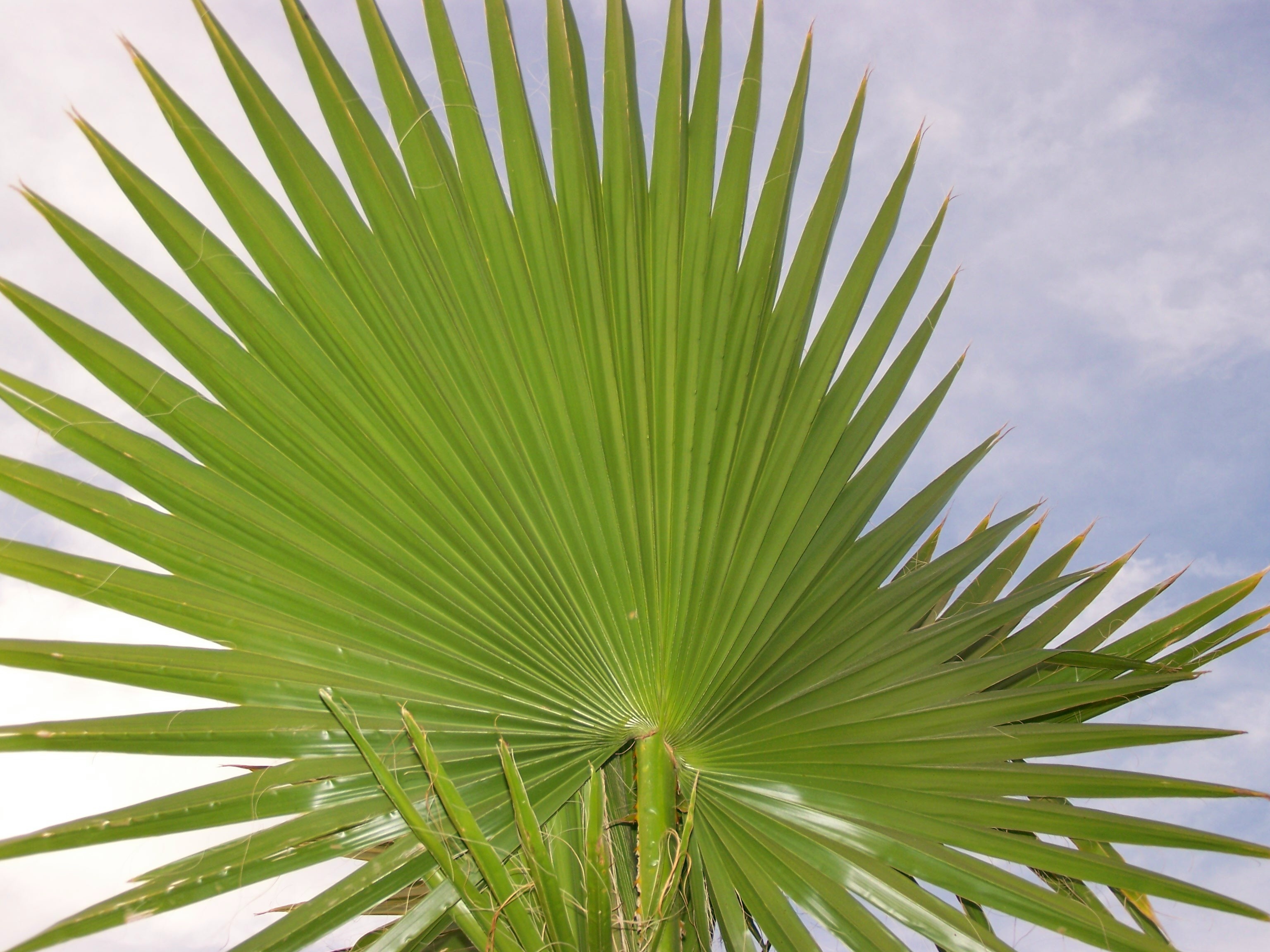
Mexican Fan
Lake Murray, SC
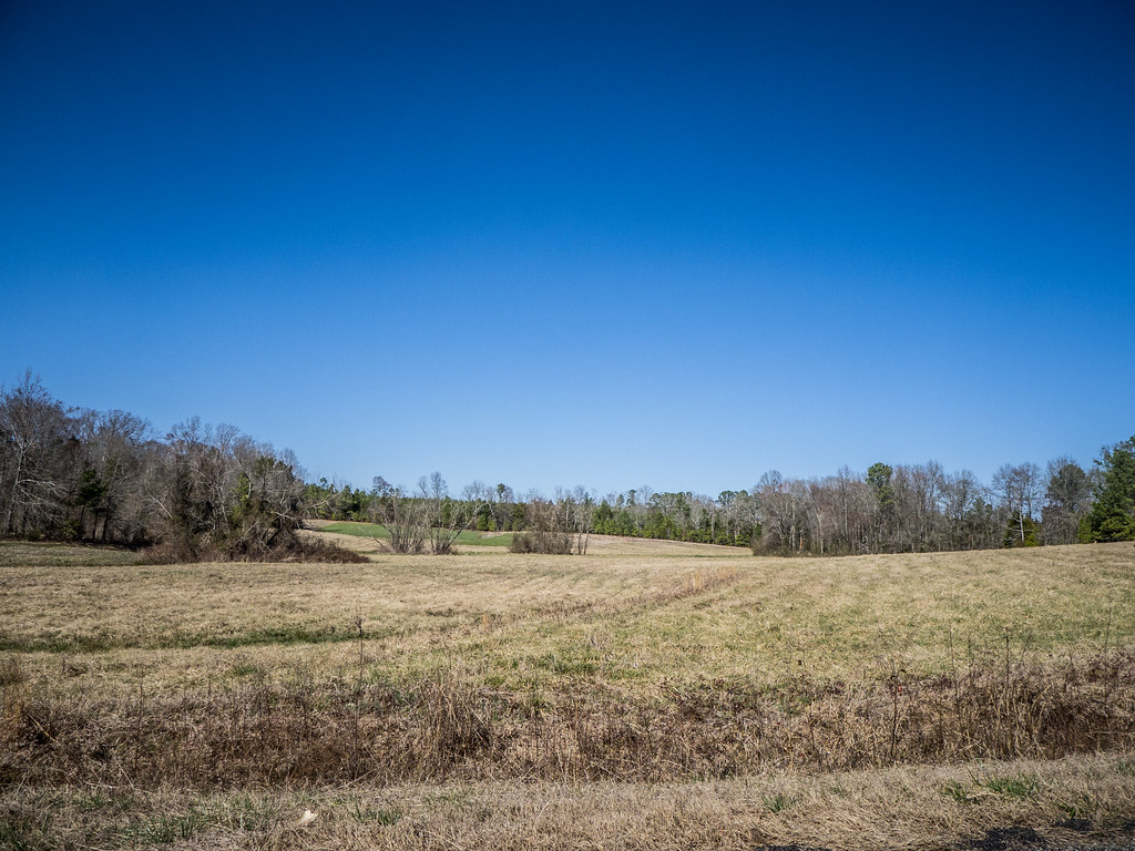
Mount Willing-001
Back yard
Sabal Isle
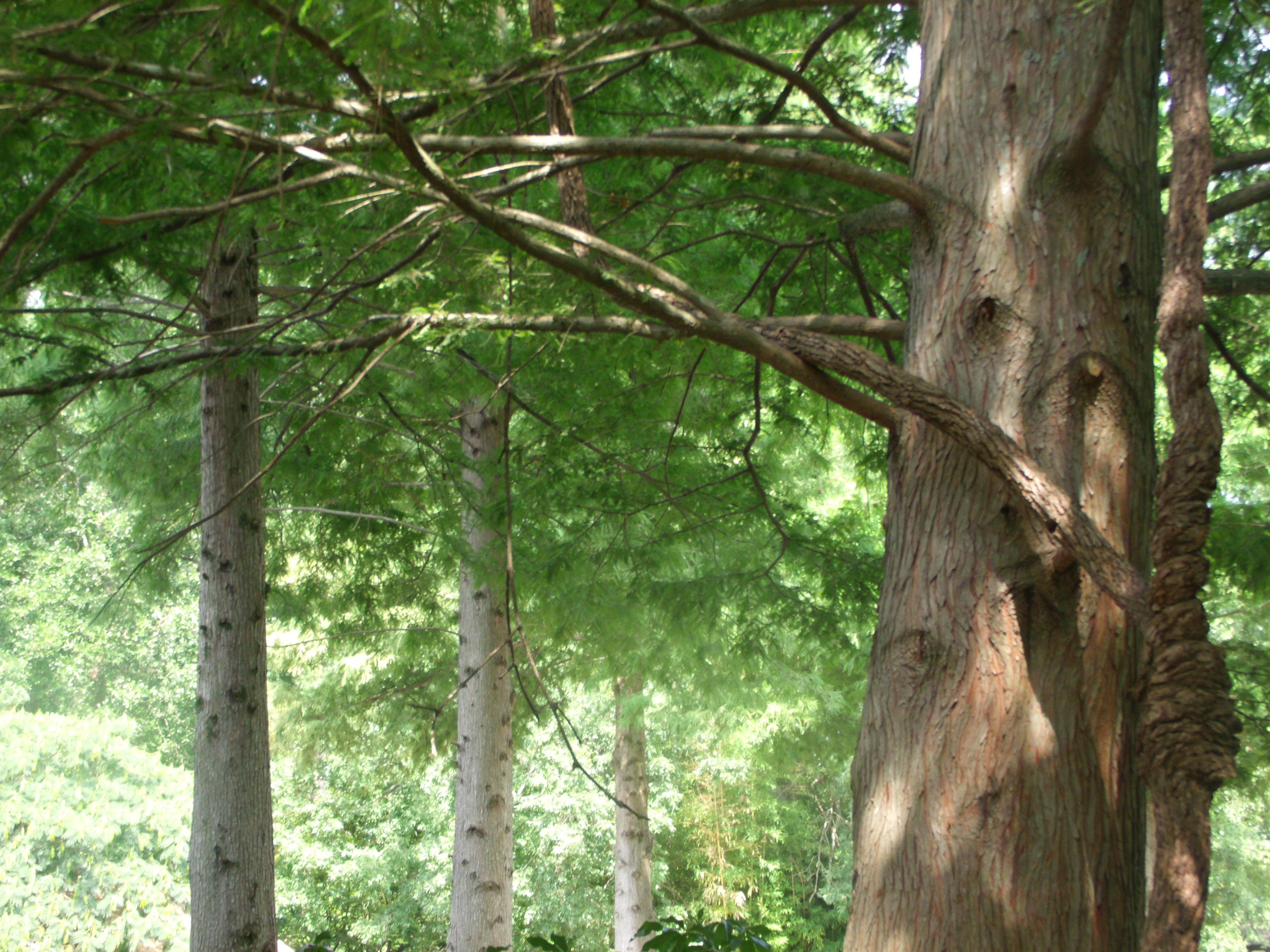
Knotts on a Tree
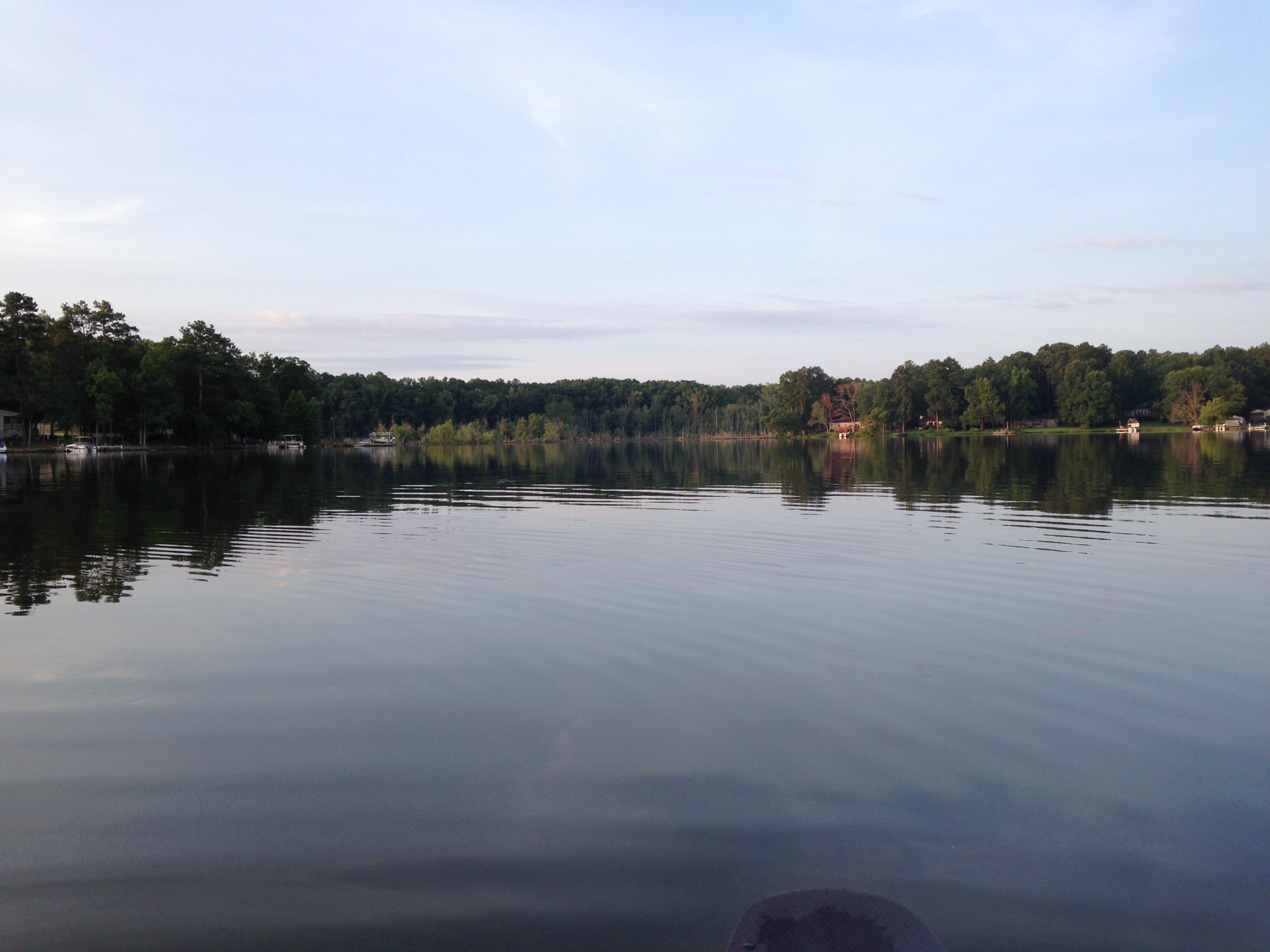
Lake Murray, SC
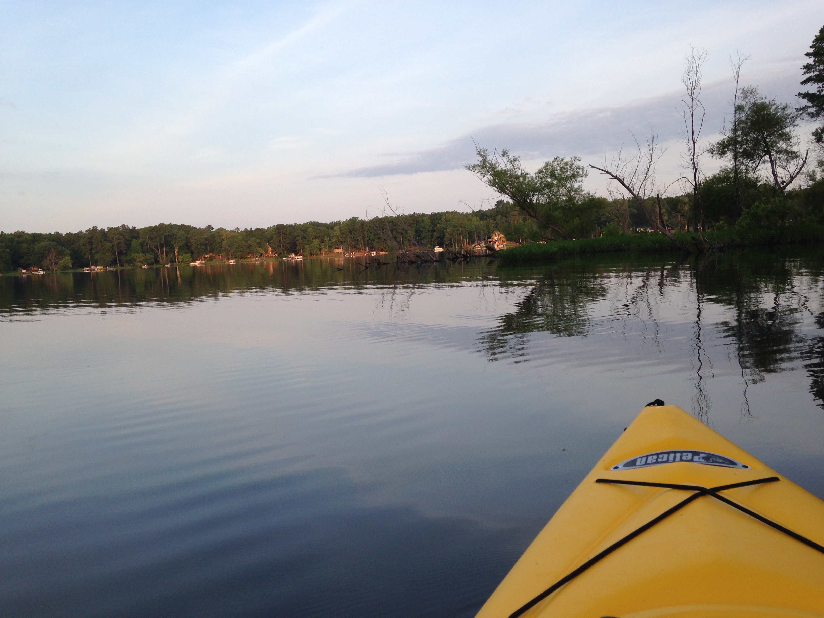
Lake Murray
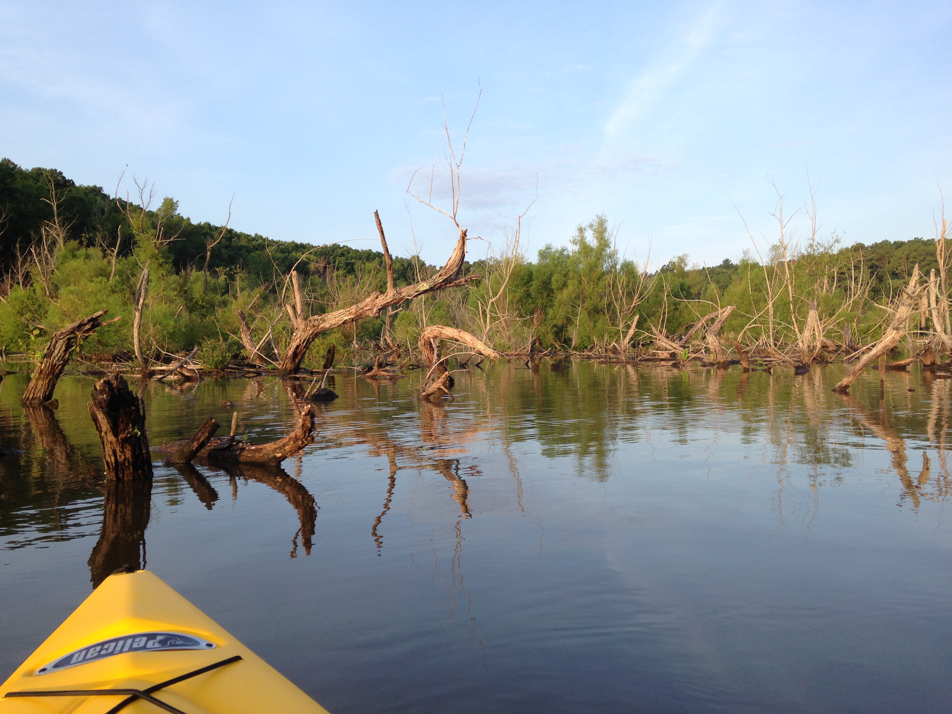
Lake Murray, SC
Topographic Map of Batesburg-Leesville, SC, USA
Find elevation by address:

Places in Batesburg-Leesville, SC, USA:
Places near Batesburg-Leesville, SC, USA:
W Railroad Ave, Batesburg, SC, USA
Batesburg
Leesville
212 Brodie Rd
West Creek Road
1806 Dog Leg Rd
Gilbert
128 Bob Sharpe Point
2327 Pond Branch Rd
284 Breezy Bay Dr
Lakeshore Dr, Leesville, SC, USA
1695 Ben Franklin Rd
1695 Ben Franklin Rd
Ben Franklin Road
Rock North Creek Road
1038 Vansant Rd
Rock N Creek Rd, Leesville, SC, USA
101 Breezy Pointe Ln
Burnt Oak Lane
Holley Ferry Rd, Leesville, SC, USA
Recent Searches:
- Elevation of Općina Šodolovci, Croatia
- Elevation of Šodolovci, Croatia
- Elevation of Old Clairton Rd, Jefferson Hills, PA, USA
- Elevation of st Ave SE, Lisbon, ND, USA
- Elevation of Steamboat Island Road Northwest, Olympia, WA, USA
- Elevation of Kootenai Trail Rd, Bonners Ferry, ID, USA
- Elevation of Hickory Blvd, Bonita Springs, FL, USA
- Elevation of Lalagbene, Bayelsa, Nigeria
- Elevation of Ogbosuware Health Centre, 2WWJ+4PJ, Lalagbene, Bayelsa, Nigeria
- Elevation of Duckhorn Ct, Las Vegas, NV, USA