Elevation of Batavia Township, AR, USA
Location: United States > Arkansas > Boone County >
Longitude: -93.228198
Latitude: 36.2738879
Elevation: 463m / 1519feet
Barometric Pressure: 96KPa
Elevation Map:
Satellite Map:
Related Photos:

Golden Meadow
Morning views

Smiling Dragonfly
Scarlet Branches Aglow

Male Widow Skimmer
current location: this! #rvsx
Bumper Crop of Orange
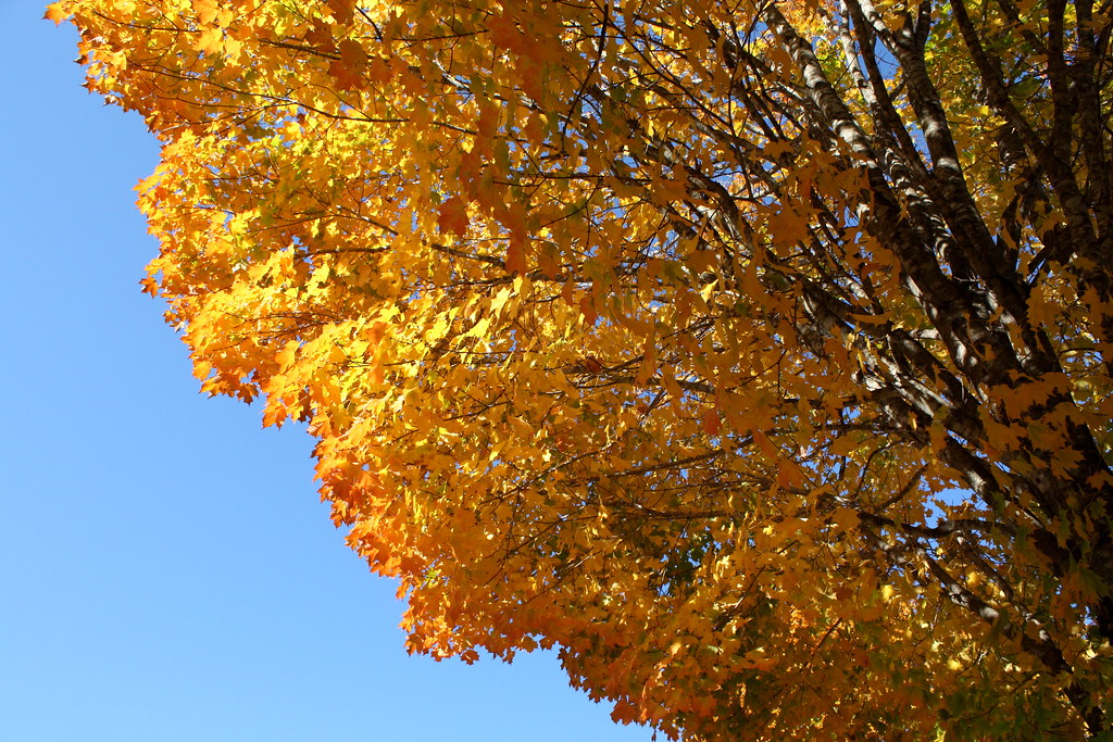
Blaze Across the Sky
Trying out the new @stellerstories app. I did a little photo recap called Autumn in the Ozarks. Check out my first #steller story -- link in my bio ????????????????
⬇️ ⬅️↙️
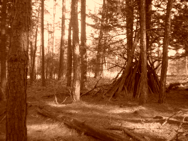
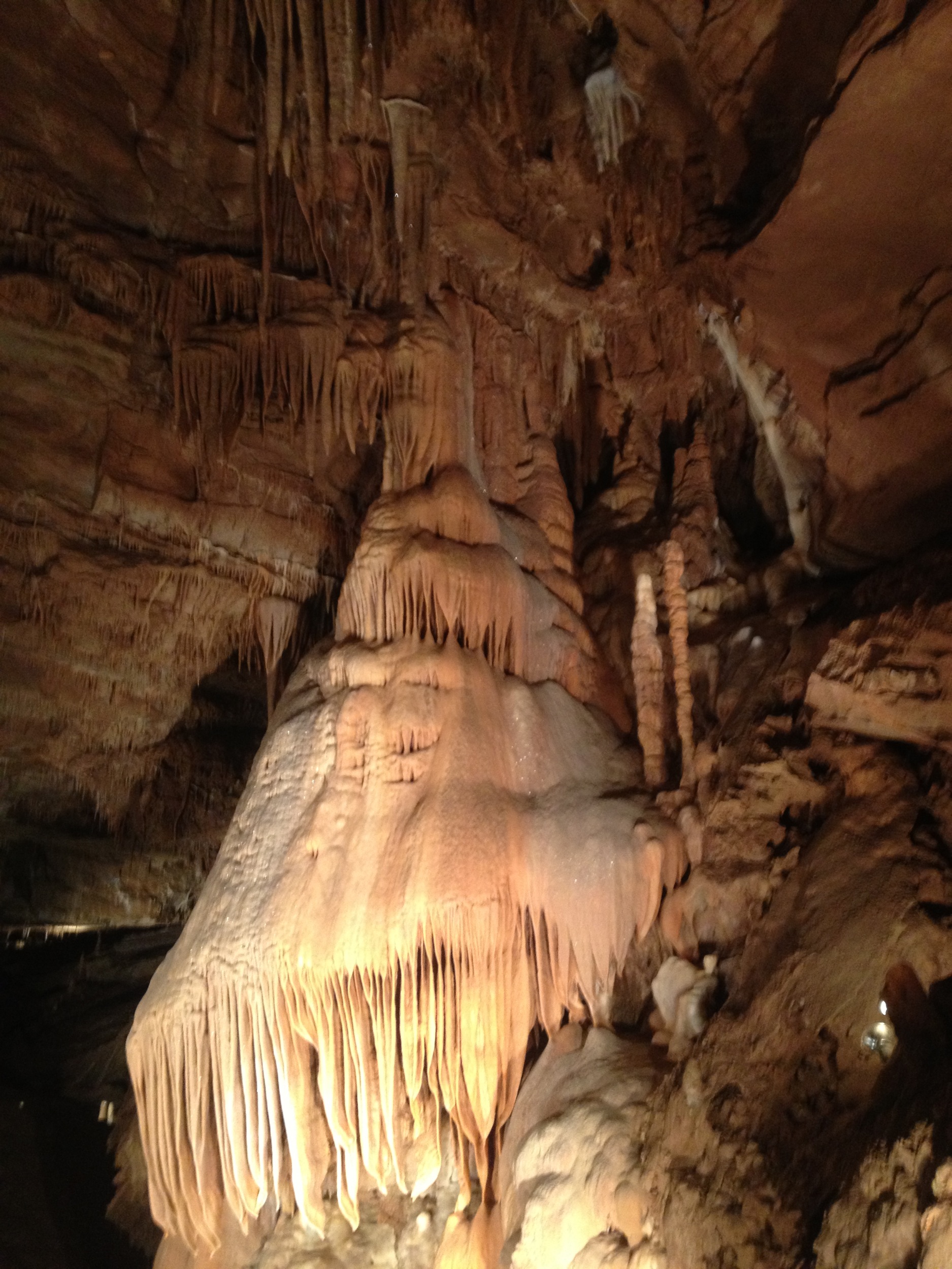
wood work
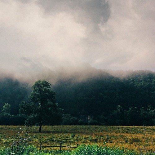
Morning in the valley
2013 Iowa trip-2
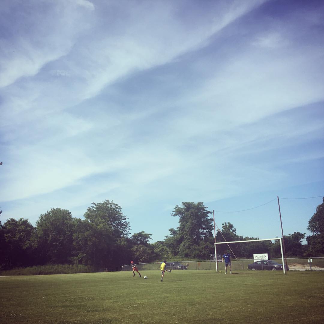
Soccer players

WPA Bridge-Side View
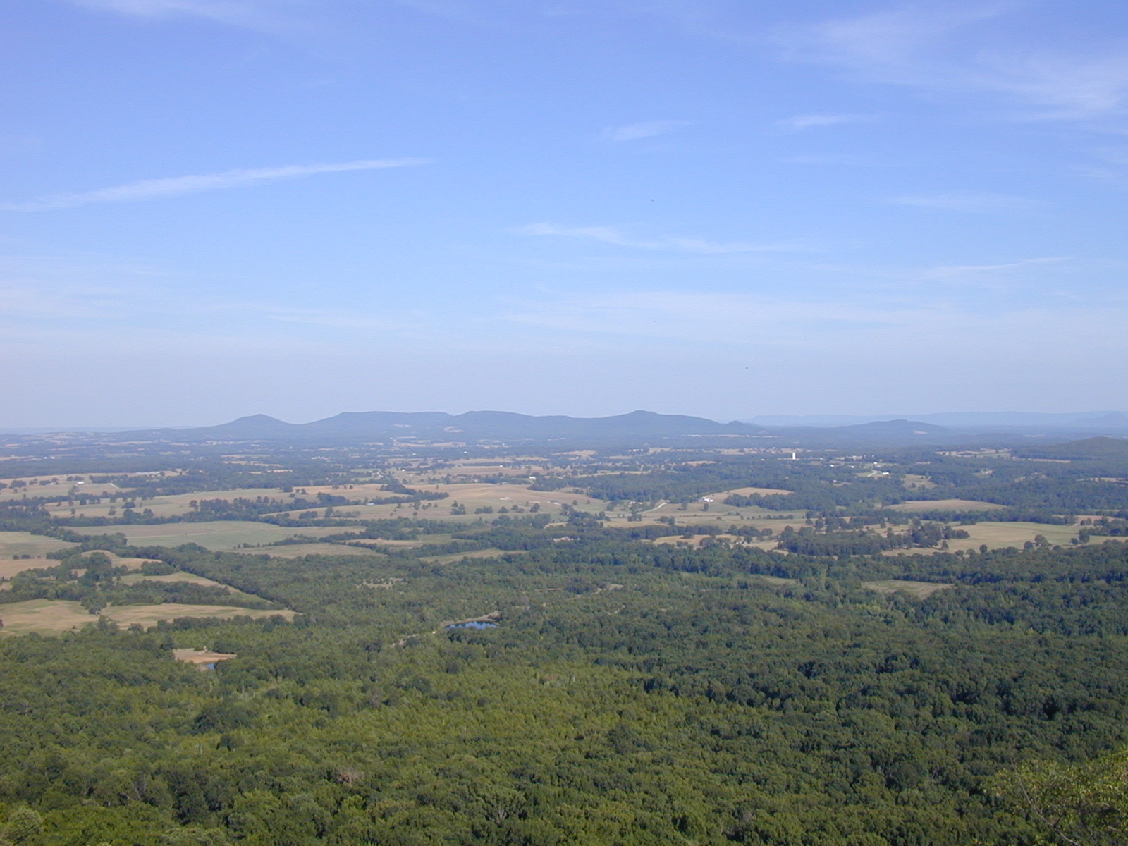
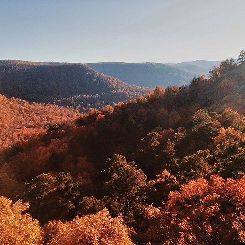
Gaither Mountain overlook

WPA Bridge-Deck View

WPA Bridge-North Approach
Topographic Map of Batavia Township, AR, USA
Find elevation by address:

Places in Batavia Township, AR, USA:
Places near Batavia Township, AR, USA:
AR-, Harrison, AR, USA
Cedar Rd, Harrison, AR, USA
Carrollton Township
Jackson Township
7531 Terrapin Creek Rd
Old U.S. 65 N, Harrison, AR, USA
Hwy 65 N, Harrison, AR, USA
1752 Austin Walker Ct
3114 Lacy Ln
Coker Lane
Sand Flat Rd, Alpena, AR, USA
US-65, Harrison, AR, USA
Alpena
US-62, Alpena, AR, USA
Carrollton
US-, Alpena, AR, USA
Long Creek Township
Coin Township
U.s. 412
County Road 811
Recent Searches:
- Elevation of Woodland Oak Pl, Thousand Oaks, CA, USA
- Elevation of Brownsdale Rd, Renfrew, PA, USA
- Elevation of Corcoran Ln, Suffolk, VA, USA
- Elevation of Mamala II, Sariaya, Quezon, Philippines
- Elevation of Sarangdanda, Nepal
- Elevation of 7 Waterfall Way, Tomball, TX, USA
- Elevation of SW 57th Ave, Portland, OR, USA
- Elevation of Crocker Dr, Vacaville, CA, USA
- Elevation of Pu Ngaol Community Meeting Hall, HWHM+3X7, Krong Saen Monourom, Cambodia
- Elevation of Royal Ontario Museum, Queens Park, Toronto, ON M5S 2C6, Canada