Elevation of Batavia, OH, USA
Location: United States > Ohio > Clermont County > Batavia Township >
Longitude: -84.176879
Latitude: 39.0770072
Elevation: 181m / 594feet
Barometric Pressure: 99KPa
Elevation Map:
Satellite Map:
Related Photos:

Want a bite, buddy ?

TrackHead Studios - Hunger

TrackHead Studios - Selfie
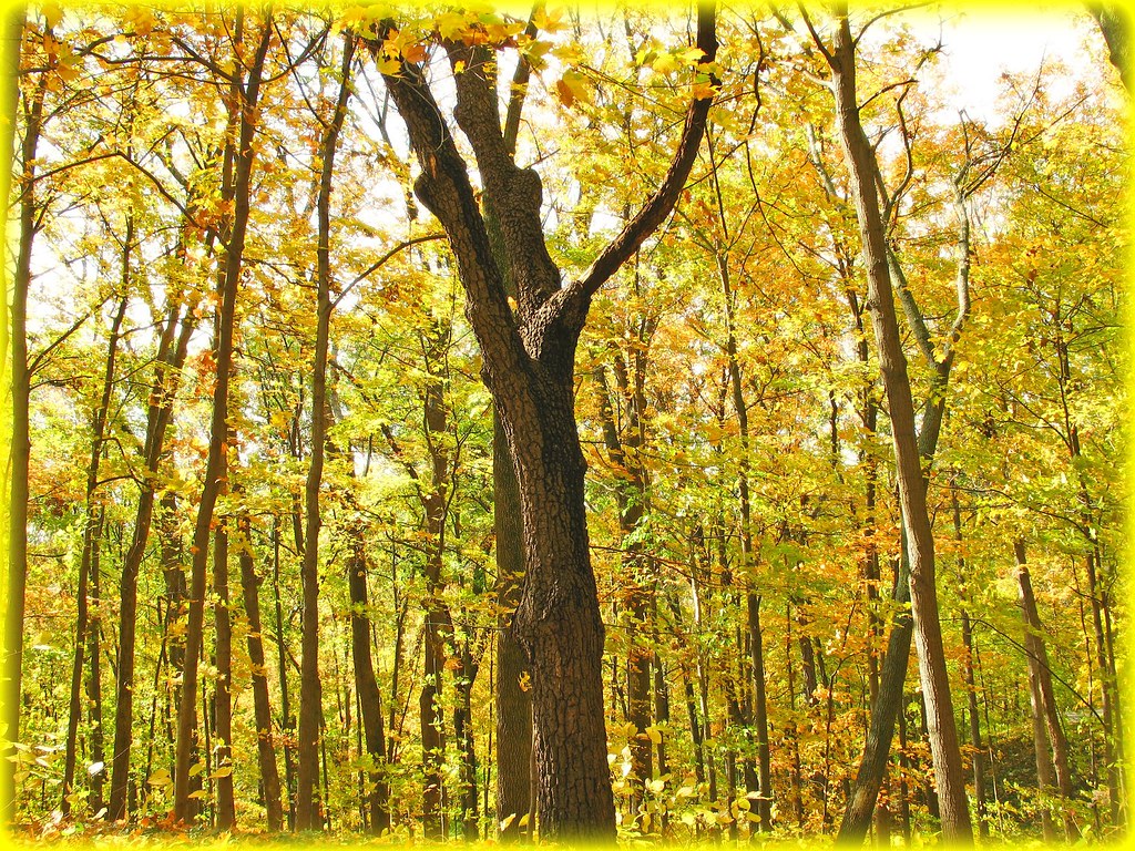
Mellow Yellow...view Large

TrackHead Studios - Bear Blowing Kisses

TrackHead Studios - New Flooring

TrackHead Studio - Twins

TrackHead Studios - Pink Health

TrackHead Studios - Oops! She did it.

Raccoon GIF

Lichen Bench

Return to innocence ..view large

TrackHead Studios - Brown Smoke
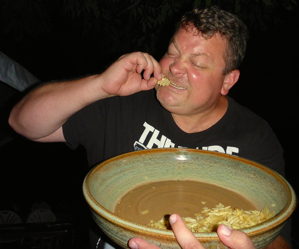
TrackHead Studios - One Big Bowl

Red-Necked Grebe

Red-Necked Grebe
she said she knew the path like the back of her hand
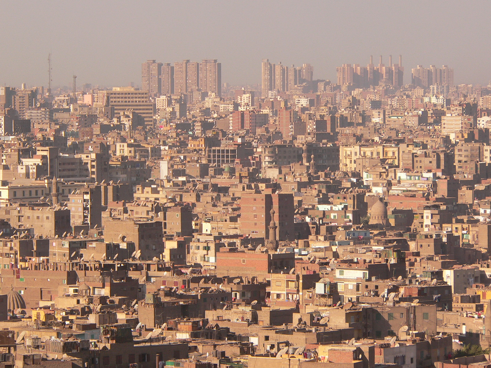
Cairo City View

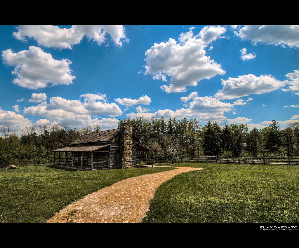
Covered Bridge
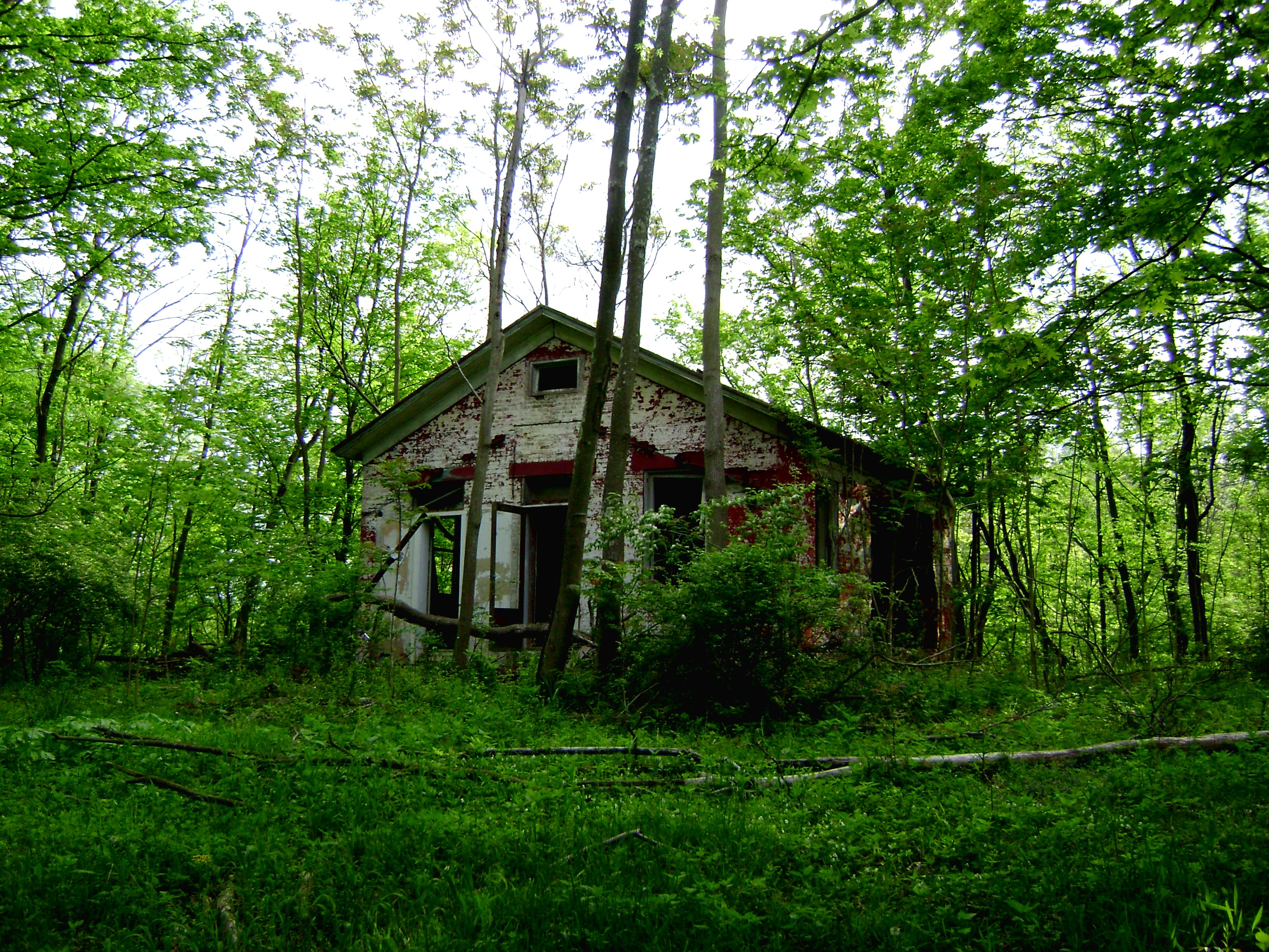
Craver, Ohio- Mt. Zion Schoolhouse
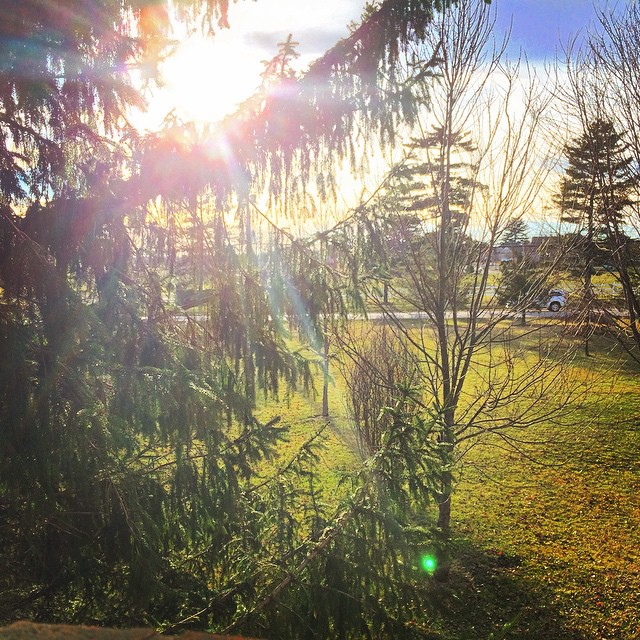
Awesome view out my window this evening! I'm loving this sunshine and warm(ish) weather. #Cincinnati #Ohio #Sunshine #GoldenHour #Photography #SettingSun

Morning Reflections

Fog Mirror
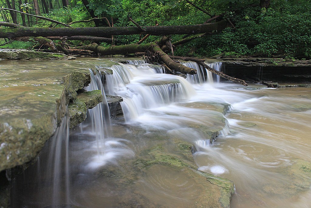
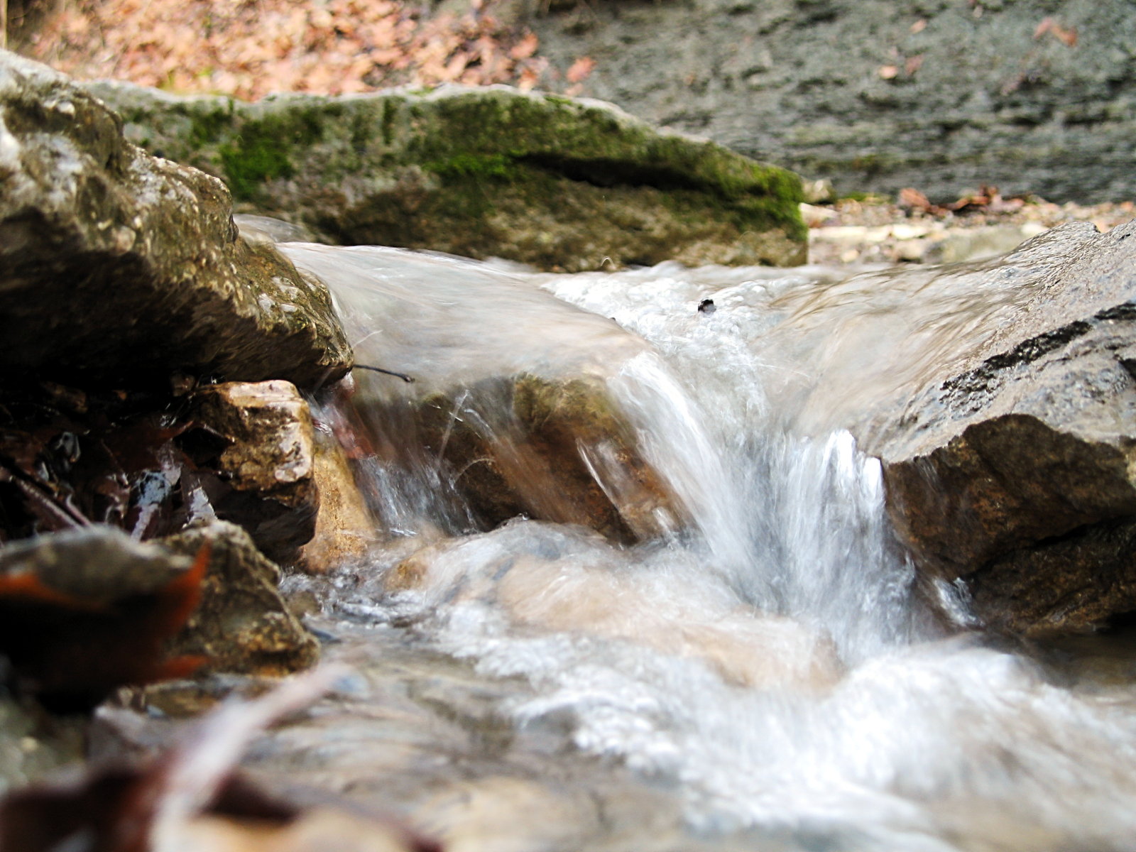
8-22-14, Ulrey Run. EXPLORE 11-16-2014
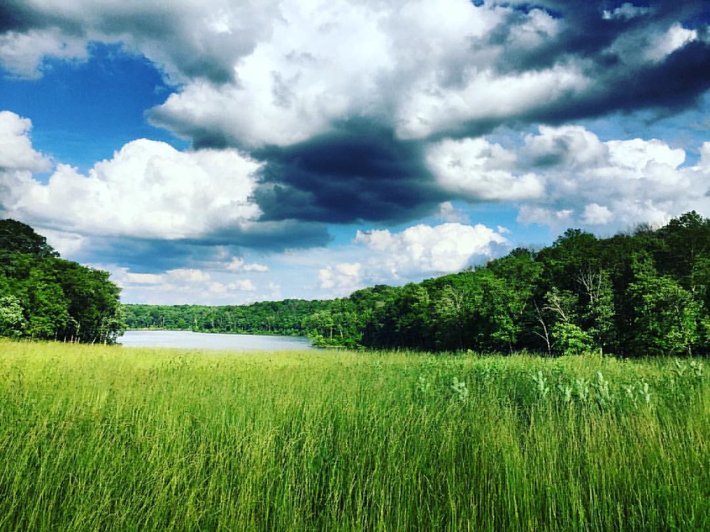
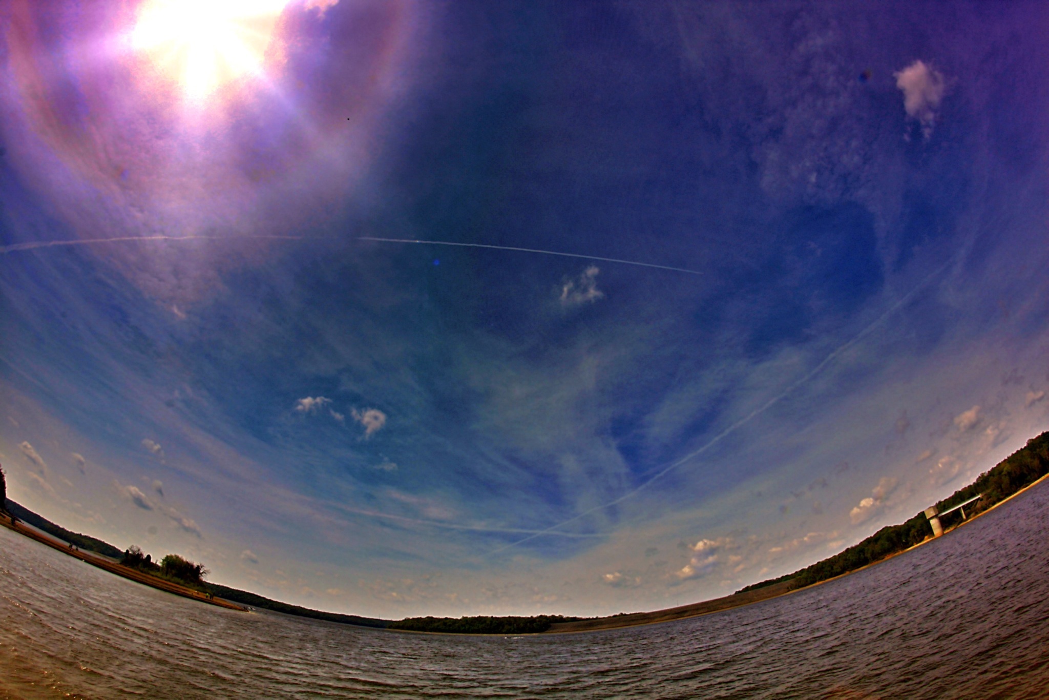
#nature #ohio #lake
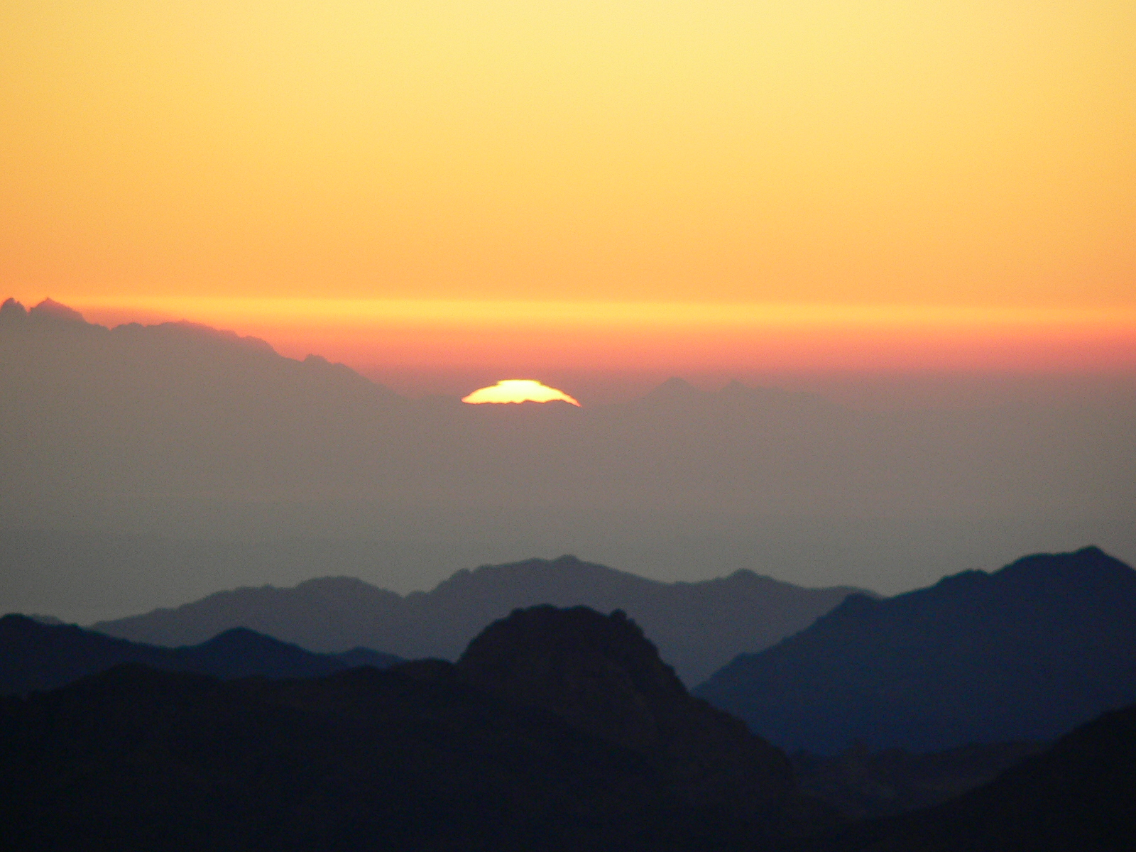
Sinai, The Begin Of The Day

IMG_3116.JPG

IMG_2713.JPG
East Fork

Something new

IMG_1834.JPG

Explored (10.05.2014)
Avey’s Run · Detail

IMG_1937.JPG

Sunrise Over East Fork Lake.

IMG_8700.JPG

deck above stream by labyrinth

TrackHead Studios - From The Ground Up
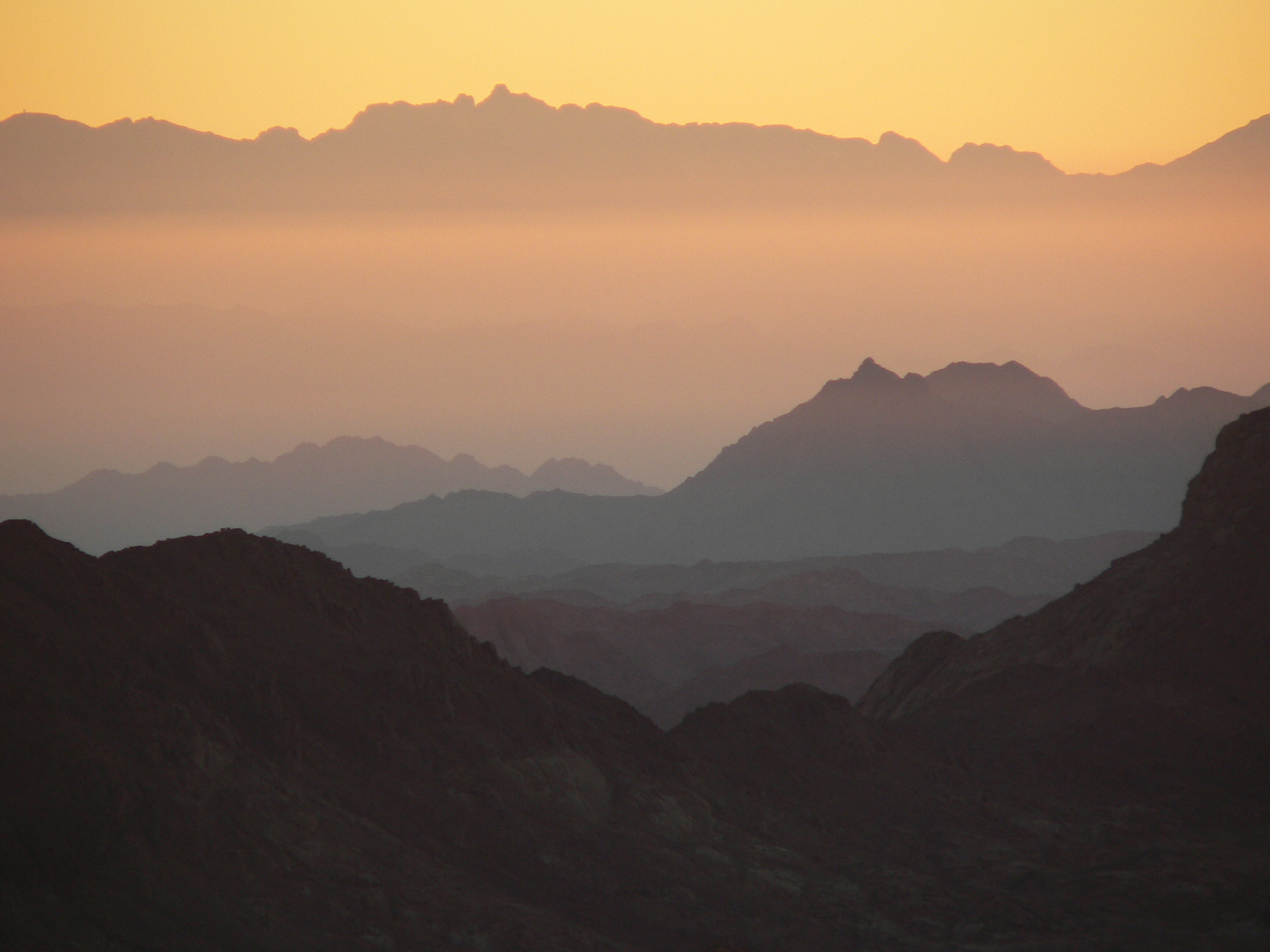
Gorgeous Mountaineous

First official RAW photos.
Topographic Map of Batavia, OH, USA
Find elevation by address:

Places in Batavia, OH, USA:
Places near Batavia, OH, USA:
101 E Main St
West Main Street
Batavia Township
Clermont County
Commons Circle Drive
3961 Oh-132
Clermont County Engineers Office
Clough Pike
Clermont County
Clough Pike, Batavia, OH, USA
2018 St Nicholas Ct
4017 Woods Mill Rd
Batavia Road
4235 Bobwhite Dr
Bobwhite Drive
Broadway St, Batavia, OH, USA
3726 Loch Lamond Dr
Amelia
5 W Main St, Amelia, OH, USA
Ohio Pike
Recent Searches:
- Elevation of Luther Road, Luther Rd, Auburn, CA, USA
- Elevation of Unnamed Road, Respublika Severnaya Osetiya — Alaniya, Russia
- Elevation of Verkhny Fiagdon, North Ossetia–Alania Republic, Russia
- Elevation of F. Viola Hiway, San Rafael, Bulacan, Philippines
- Elevation of Herbage Dr, Gulfport, MS, USA
- Elevation of Lilac Cir, Haldimand, ON N3W 2G9, Canada
- Elevation of Harrod Branch Road, Harrod Branch Rd, Kentucky, USA
- Elevation of Wyndham Grand Barbados Sam Lords Castle All Inclusive Resort, End of Belair Road, Long Bay, Bridgetown Barbados
- Elevation of Iga Trl, Maggie Valley, NC, USA
- Elevation of N Co Rd 31D, Loveland, CO, USA