Elevation of Basse Terre, Guadeloupe
Location: Guadeloupe > Basse-terre > Saint-claude >
Longitude: -61.706410
Latitude: 16.0144526
Elevation: 313m / 1027feet
Barometric Pressure: 98KPa
Elevation Map:
Satellite Map:
Related Photos:
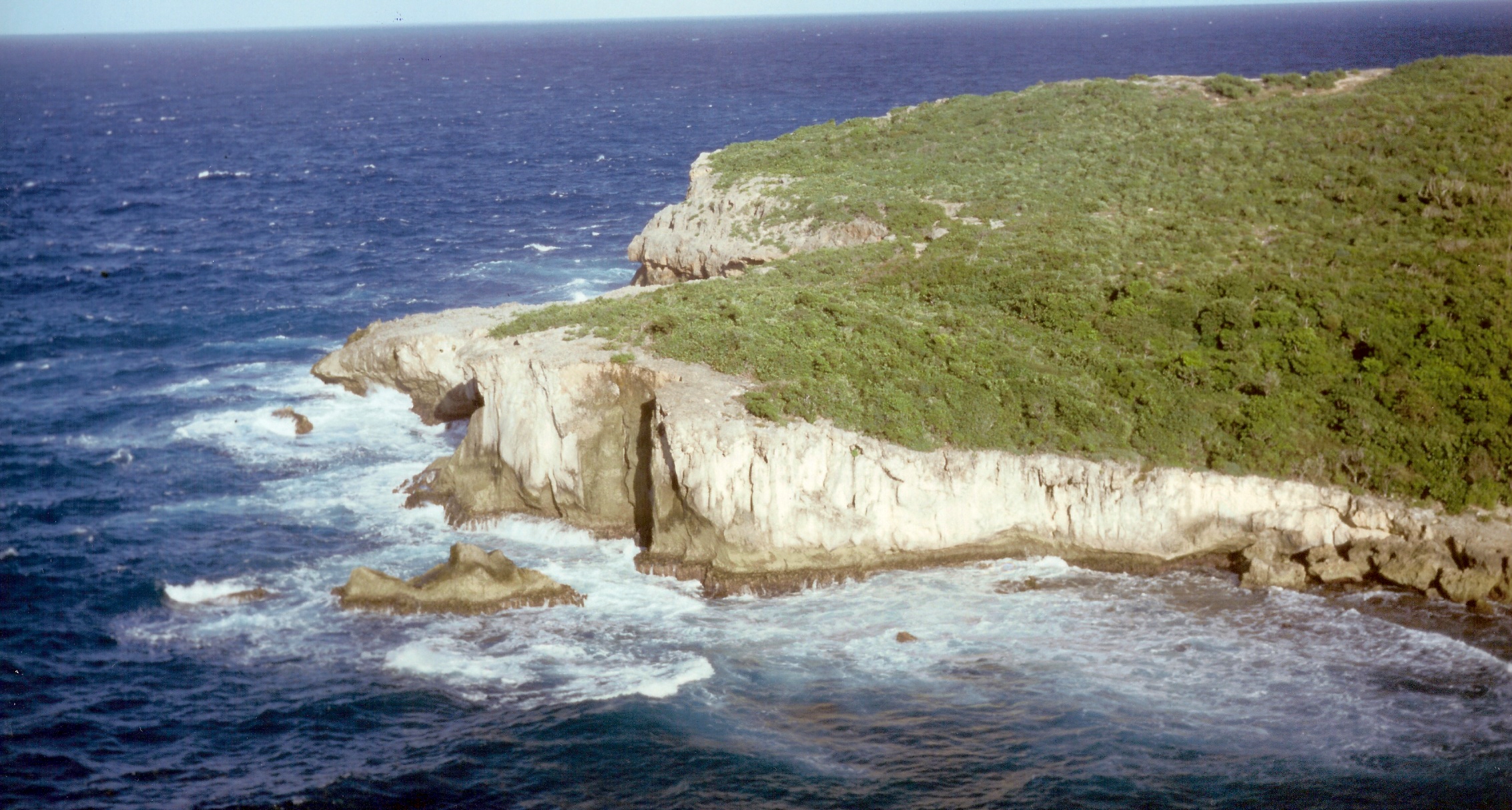
wild coast
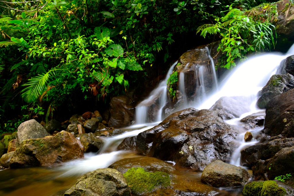
Chutes du Carbet, Guadeloupe

Trois Rivières beach

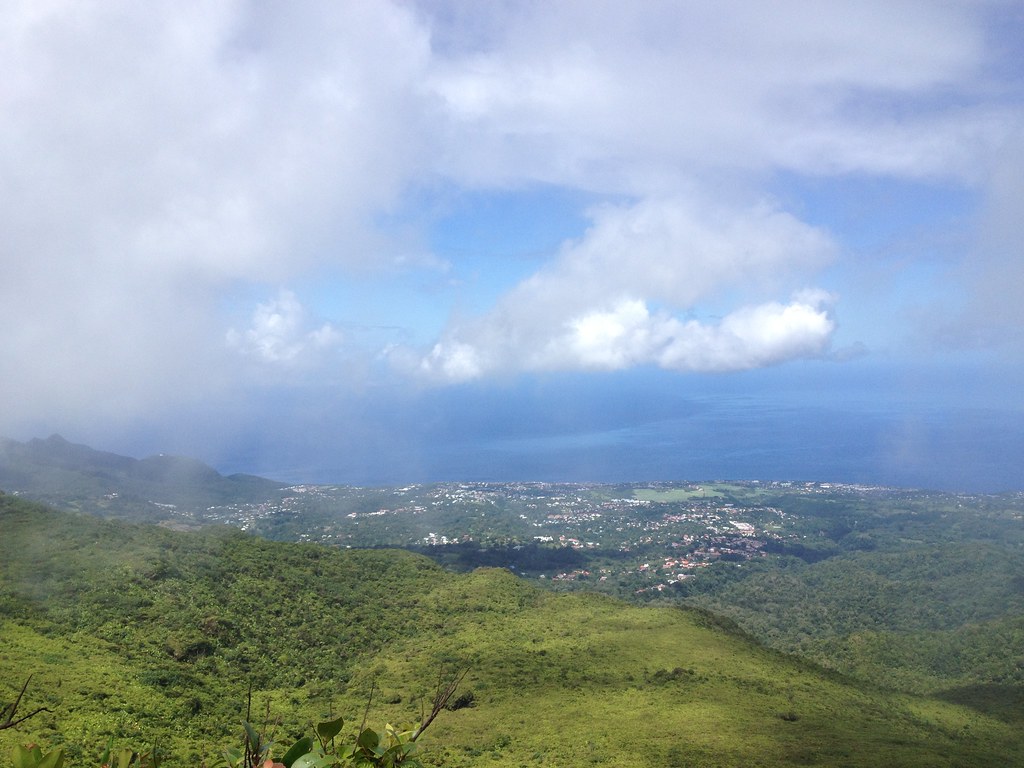
Panoramic view from above St Claude
Guadeloupe - Volcan La Soufriere view
Topographic Map of Basse Terre, Guadeloupe
Find elevation by address:

Places near Basse Terre, Guadeloupe:
Saint-claude
Trois Rivieres
Trois-rivieres
Basse-terre
Goyave
Riviere Bonfils
Goyave
Villa Chantevent
Deshaies
Guadeloupe
Le Gosier
O Cœur De Deshaies
Rue Anastase Moulin, Le Gosier, Guadeloupe
Le Gosier
Les Abymes
Grande-terre
Le Moule
Le Moule
Marie-galante
Capesterre-de-marie-galante
Recent Searches:
- Elevation of Felindre, Swansea SA5 7LU, UK
- Elevation of Leyte Industrial Development Estate, Isabel, Leyte, Philippines
- Elevation of W Granada St, Tampa, FL, USA
- Elevation of Pykes Down, Ivybridge PL21 0BY, UK
- Elevation of Jalan Senandin, Lutong, Miri, Sarawak, Malaysia
- Elevation of Bilohirs'k
- Elevation of 30 Oak Lawn Dr, Barkhamsted, CT, USA
- Elevation of Luther Road, Luther Rd, Auburn, CA, USA
- Elevation of Unnamed Road, Respublika Severnaya Osetiya — Alaniya, Russia
- Elevation of Verkhny Fiagdon, North Ossetia–Alania Republic, Russia