Elevation of Barta'a Junction, Ar'ara, Israel
Location: Israel > Haifa District > Hadera > Ar'ara >
Longitude: 35.068631
Latitude: 32.499962
Elevation: 96m / 315feet
Barometric Pressure: 100KPa
Elevation Map:
Satellite Map:
Related Photos:
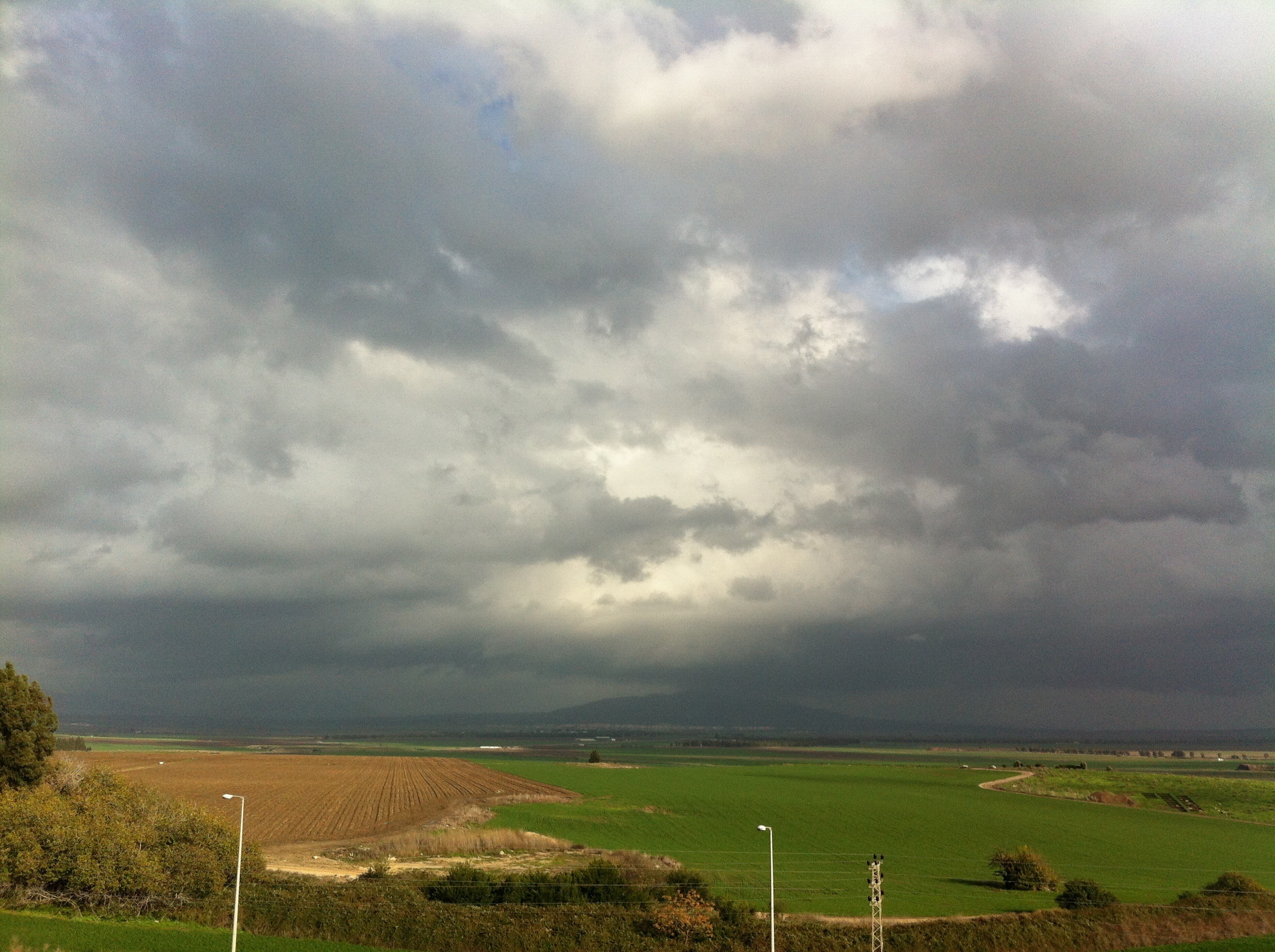
View from my window #clouds #sky #winter

Quiet Man

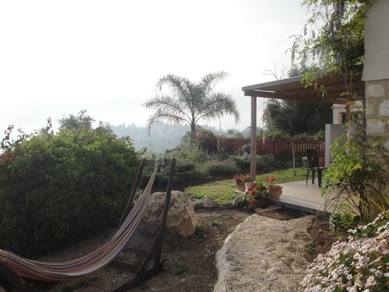
View from the palm grove (yes... There is a palm grove...)
Haifa View
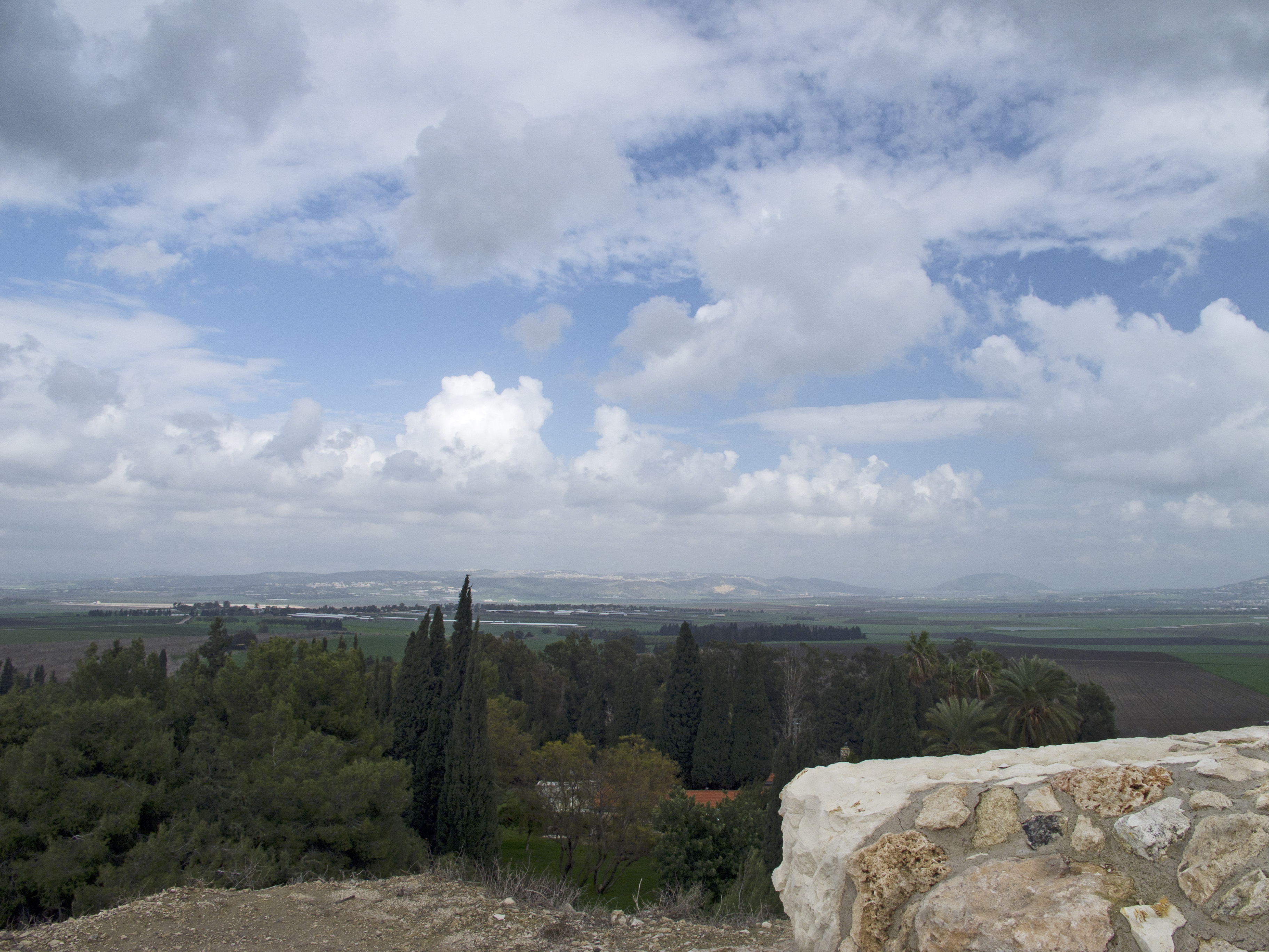
The view south
View from Zichron Yaakov to the sea

Har Megiddo
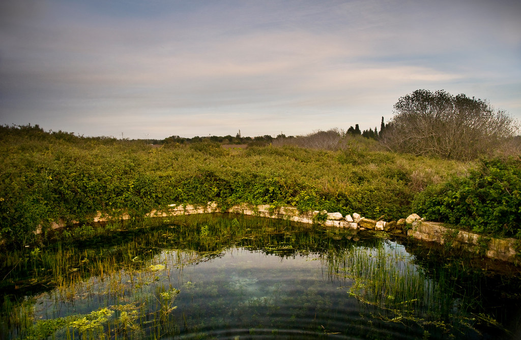
Ein Arubot
Reflections on Zichron
20110221_Israel_0049 view toward Nazareth from Megiddo
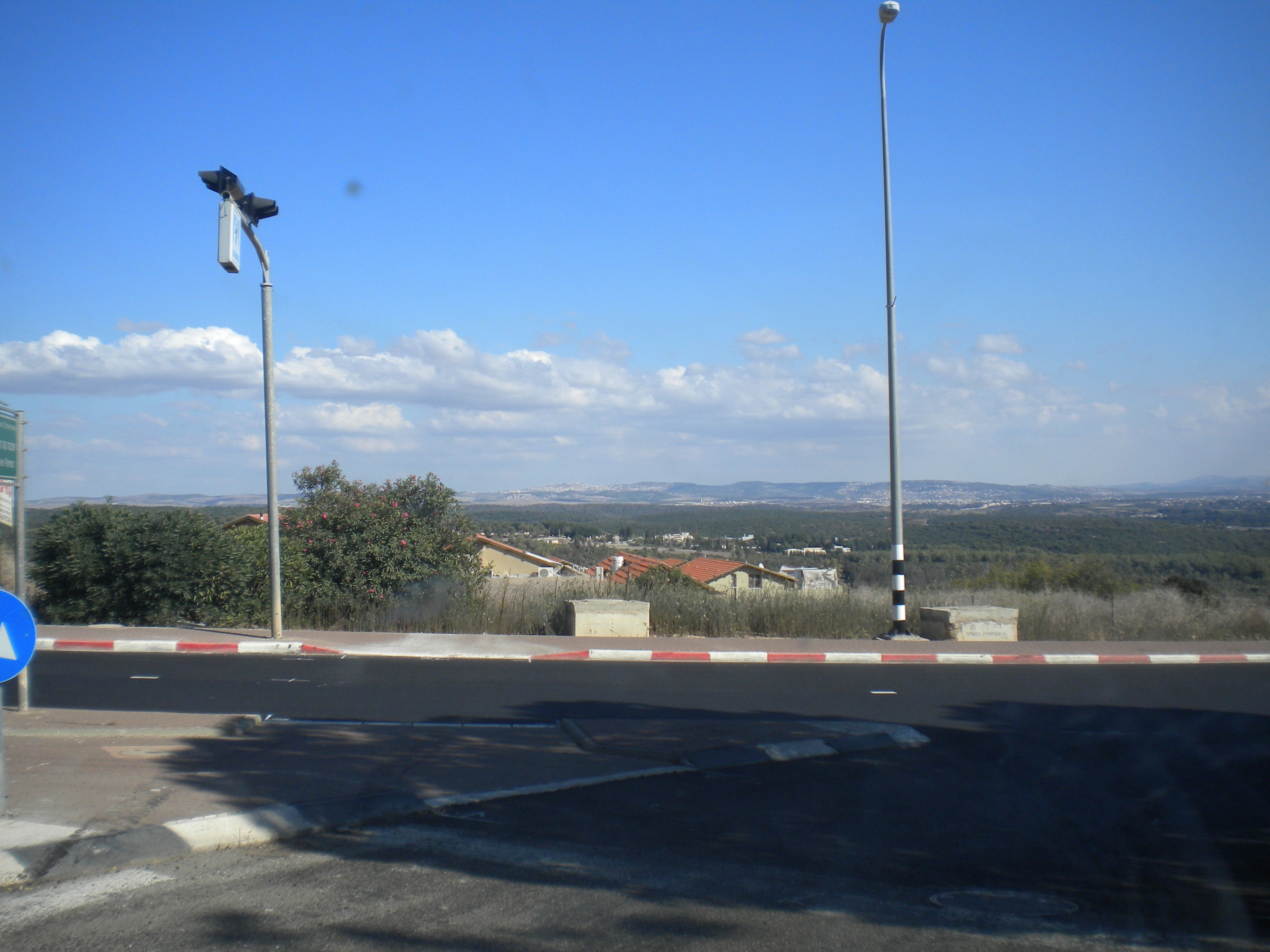
View from Remez neighborhood
View of the For The View B&B Zichron Ya'akov
House with a view, Zichron Ya'akov
You can't go wrong when your day starts with this view....
Ramot Menash 66 (2)

Ramot Menash 66 (2)
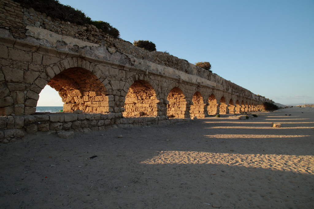
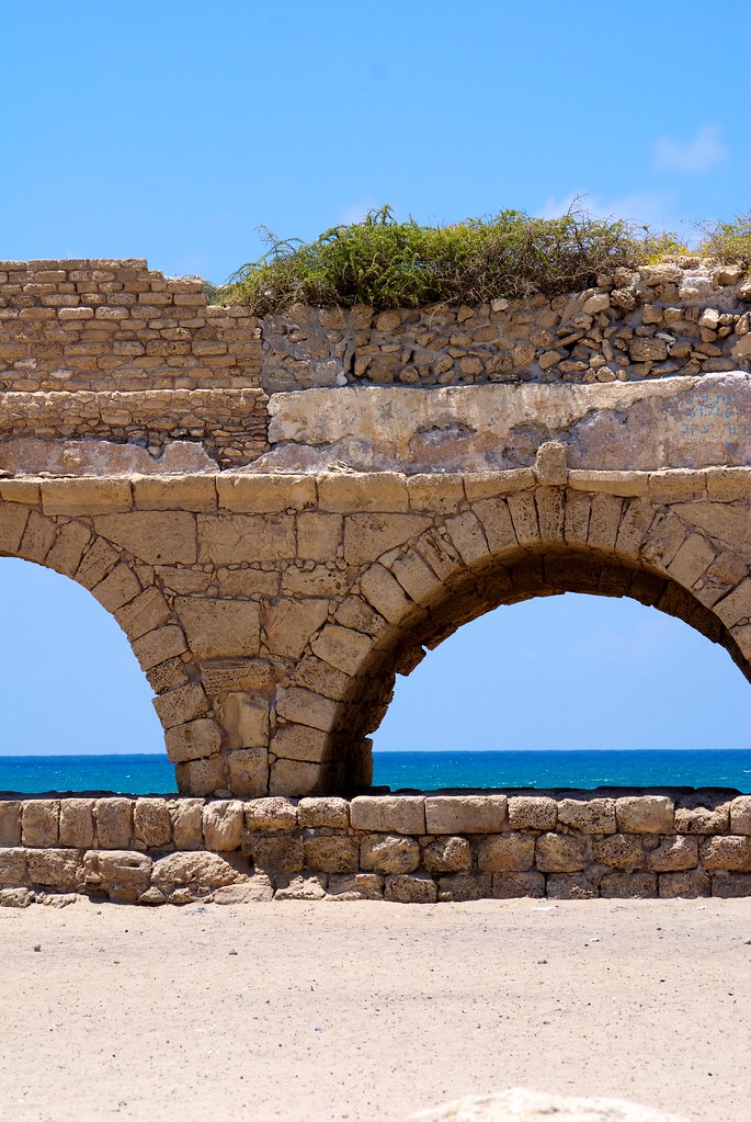
Jour 1 - Aqueduc romain (1)
I find it kinda funny
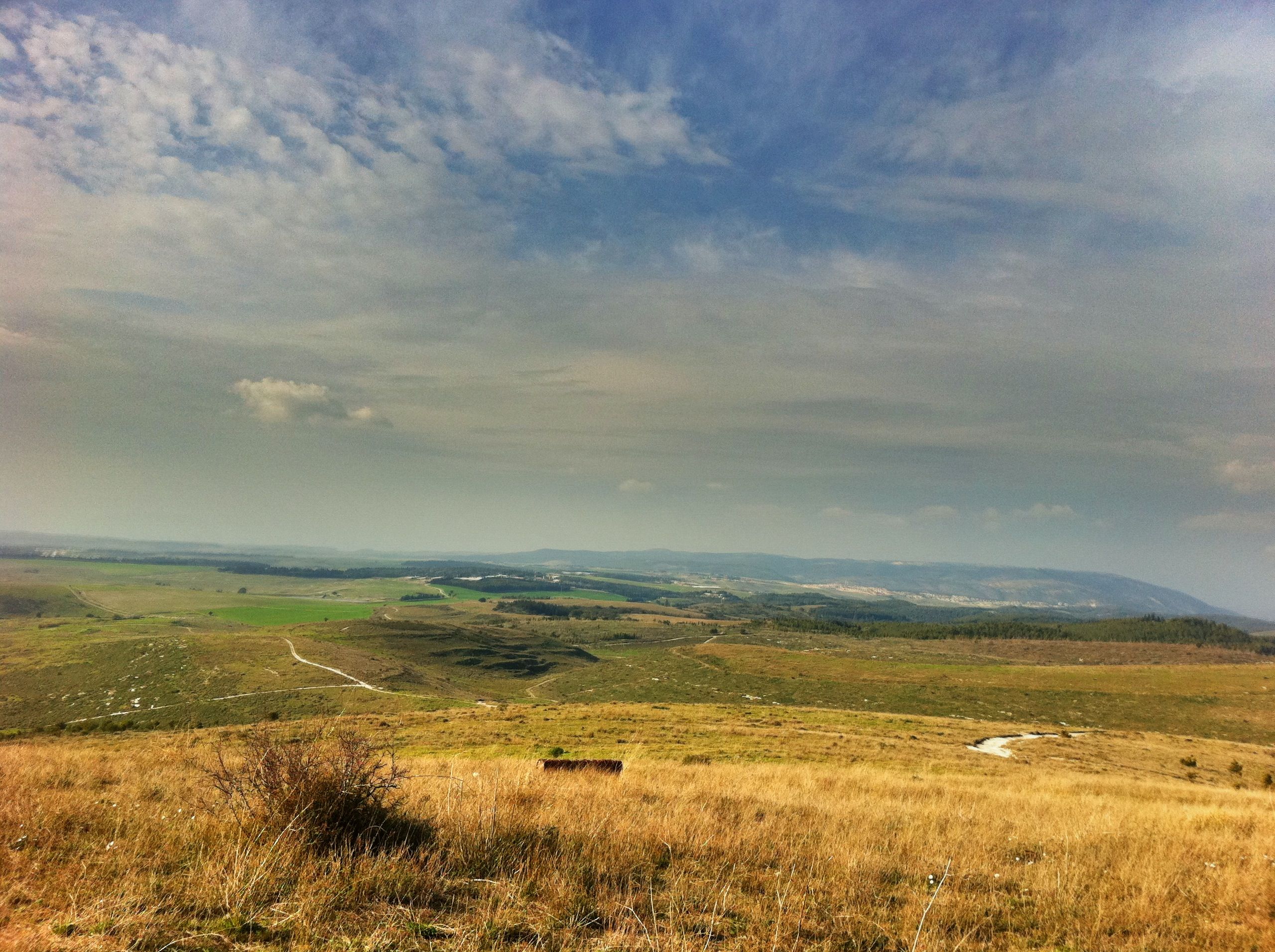
Biblical Landscape

If These Stones Could Speak
factor 99
Not Quite the Golden Arches
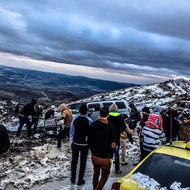
#الثلوج في السيلة الظهر و #Hummer #عالق #Snow in Silat ad-Dahr & #Hummer #Stuck Sat-Dec 14 ,2013 #Photography | @Saleh4One #Palestine #Jenin #Silat #فلسطين #جنين #سيلة #WHP #whpliquidlandscape #WHPgoldenhour #WHPHummer
Mount Carmel
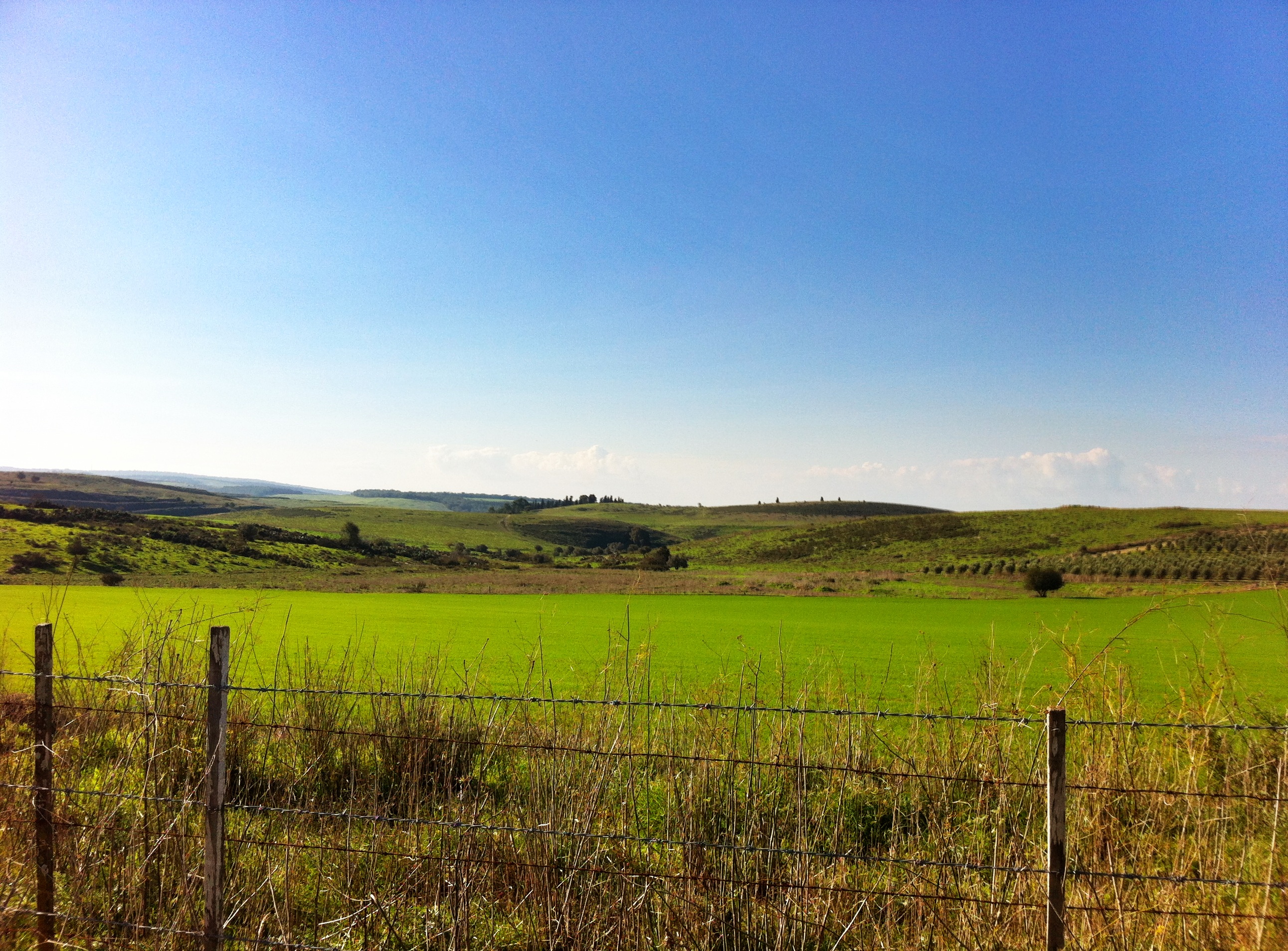
הזורע כבר ירוק

Paths in the Garden
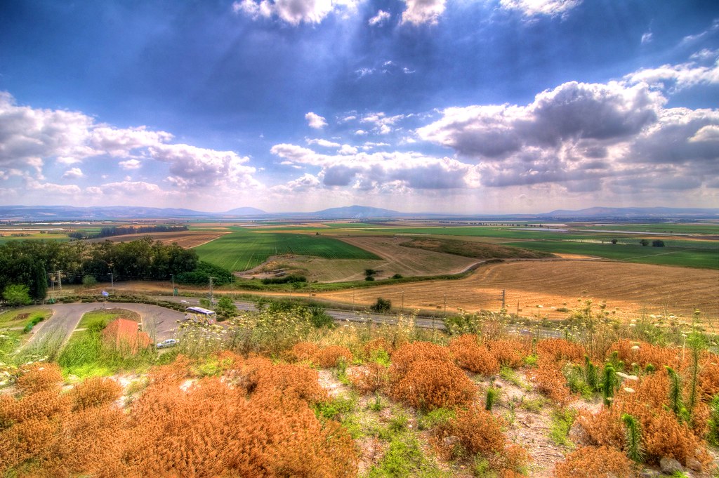
Field of the Last Days
Armageddon scene. On The Day.
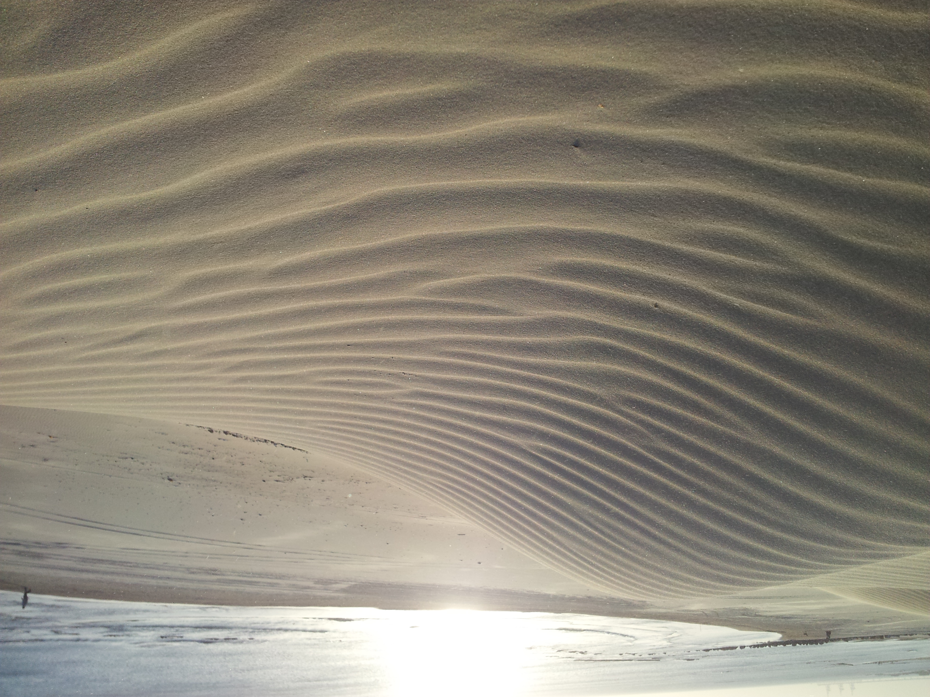
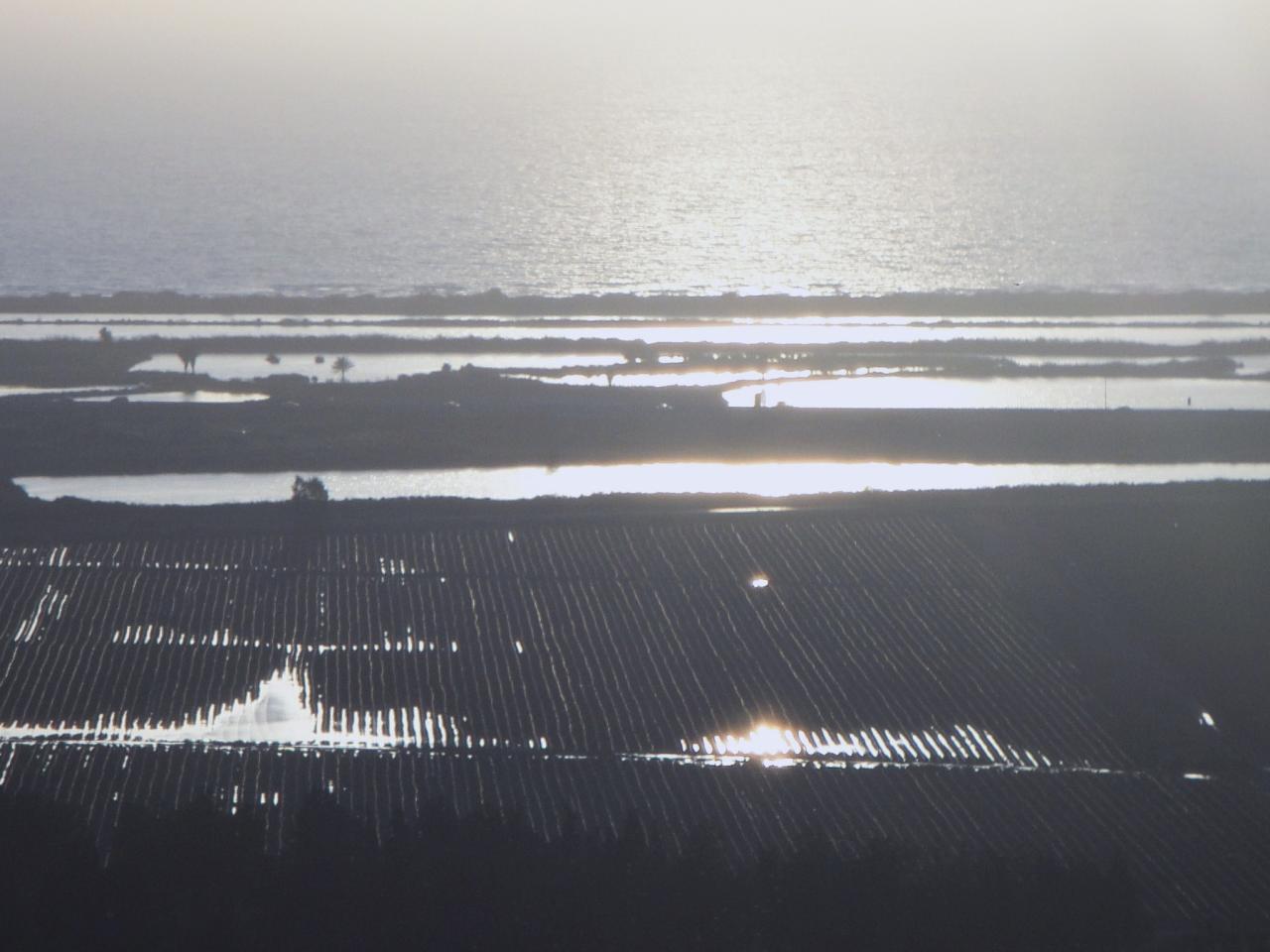
dune on caesarea beach

99/365. Relax
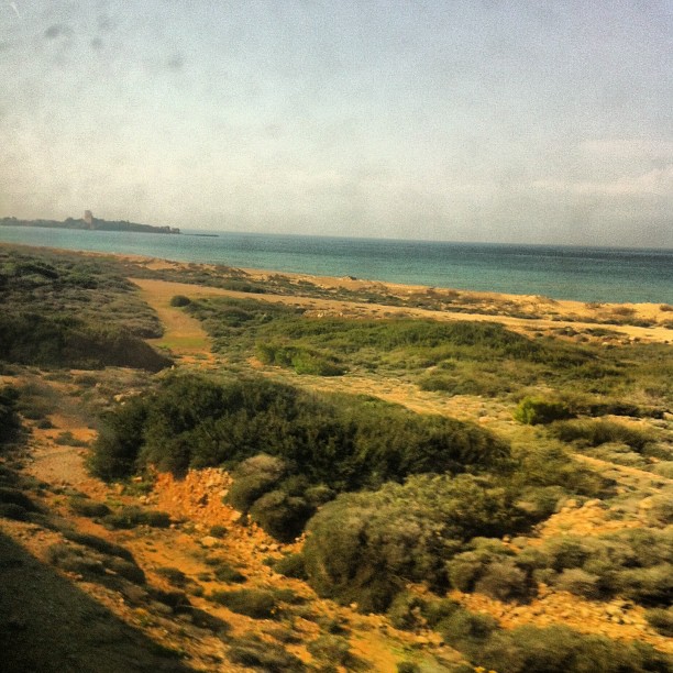
Поезд до Акко вдоль моря идет, на заднем плане руины крепости

55/366.
הזורע כבר ירוק
Ramot - Elyakim - Horshan
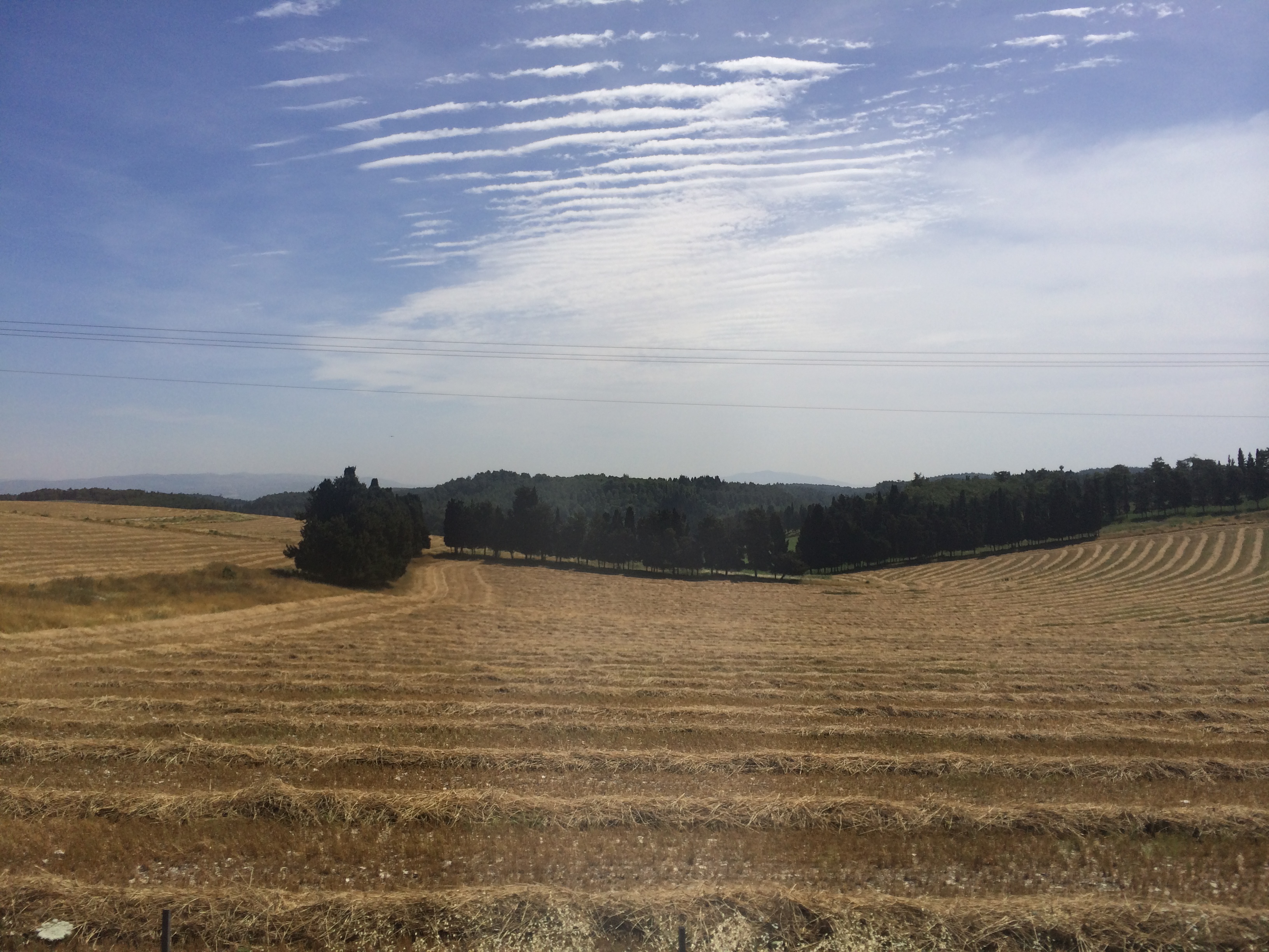
Fields 01
Topographic Map of Barta'a Junction, Ar'ara, Israel
Find elevation by address:

Places near Barta'a Junction, Ar'ara, Israel:
Ar'ara
Harish
Haifa District
Hadera
Baqa Al-gharbiyye
Kibbutz Beth El
Zikhron Ya'akov
Wingate Street
Wingate St 5
Beit Hanania
Derech Hayam
Caesarea
Ezor Zihron Ya'akov
Hadera
Caesarea
Caesarea National Park
Hefer Valley Regional Council
Tel Dor Street
Nahsholim
Tel Dor
Recent Searches:
- Elevation of Zimmer Trail, Pennsylvania, USA
- Elevation of 87 Kilmartin Ave, Bristol, CT, USA
- Elevation of Honghe National Nature Reserve, QP95+PJP, Tongjiang, Heilongjiang, Jiamusi, Heilongjiang, China
- Elevation of Hercules Dr, Colorado Springs, CO, USA
- Elevation of Szlak pieszy czarny, Poland
- Elevation of Griffing Blvd, Biscayne Park, FL, USA
- Elevation of Kreuzburger Weg 13, Düsseldorf, Germany
- Elevation of Gateway Blvd SE, Canton, OH, USA
- Elevation of East W.T. Harris Boulevard, E W.T. Harris Blvd, Charlotte, NC, USA
- Elevation of West Sugar Creek, Charlotte, NC, USA