Elevation of Barryville, NB E9G 4J1, Canada
Location: Canada > New Brunswick > Northumberland County > Alnwick >
Longitude: -65.24382
Latitude: 47.160179
Elevation: -10000m / -32808feet
Barometric Pressure: 295KPa
Elevation Map:
Satellite Map:
Related Photos:

Grant Beach Range (front) Lighthouse, NB

Past the Stairs

20180915 Short-billed Dowitcher, Hay Island (1)

20180915 Short-billed Dowitcher, Hay Isl. 1

20180915 Killdeer, Hay Island

___tree_s #nature #trees #sky #retro #hipstamatic #iphone7plus #blue #green #fall #autumn #landscape #isolation
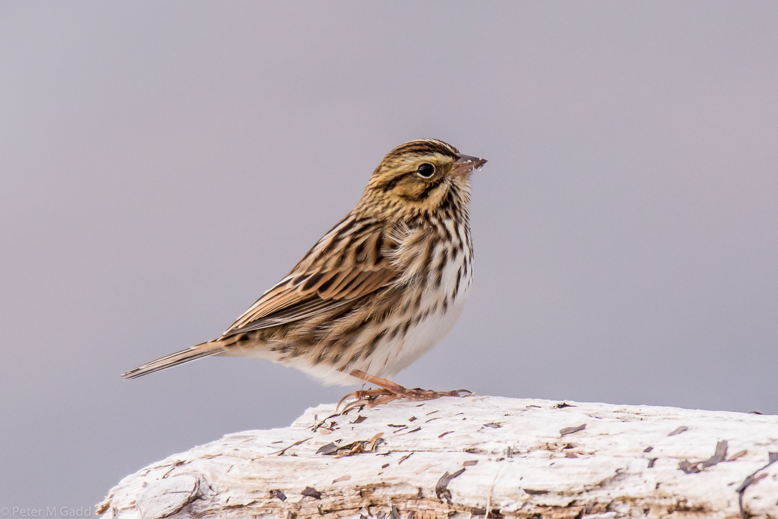
20180920 Savannah Sparrow, Hay Island, NB

20180829 Black-bellied Plover, Hay Island, NB

Harvester 20150825 Loggieville Trail meadow
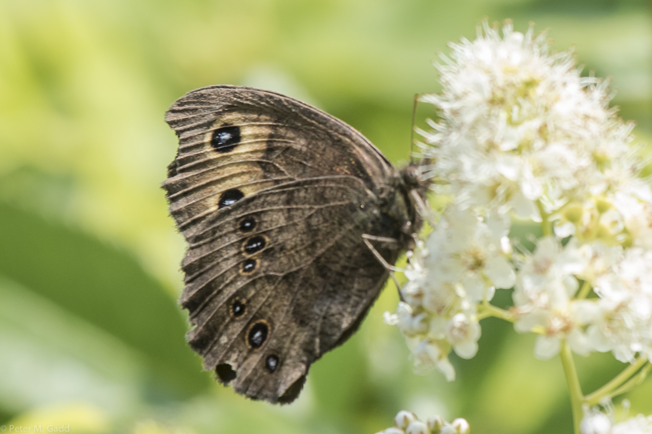
Common Wood Nymph 20150728 Field, Point aux Carr Rd. (3)

Peck's Skipper 20150728 Loggieville Trail and Meadow (2)

Black Swallowtail 20150819 Hay Island (7)

Black Swallowtail 20150819 Hay Island (9)

Viceroy 20150823 Fletchers Farm, Oldfield Road-6

White Admiral 20150729 Hay Island

20180915 Short-billed Dowitcher, Hay Isl. 2
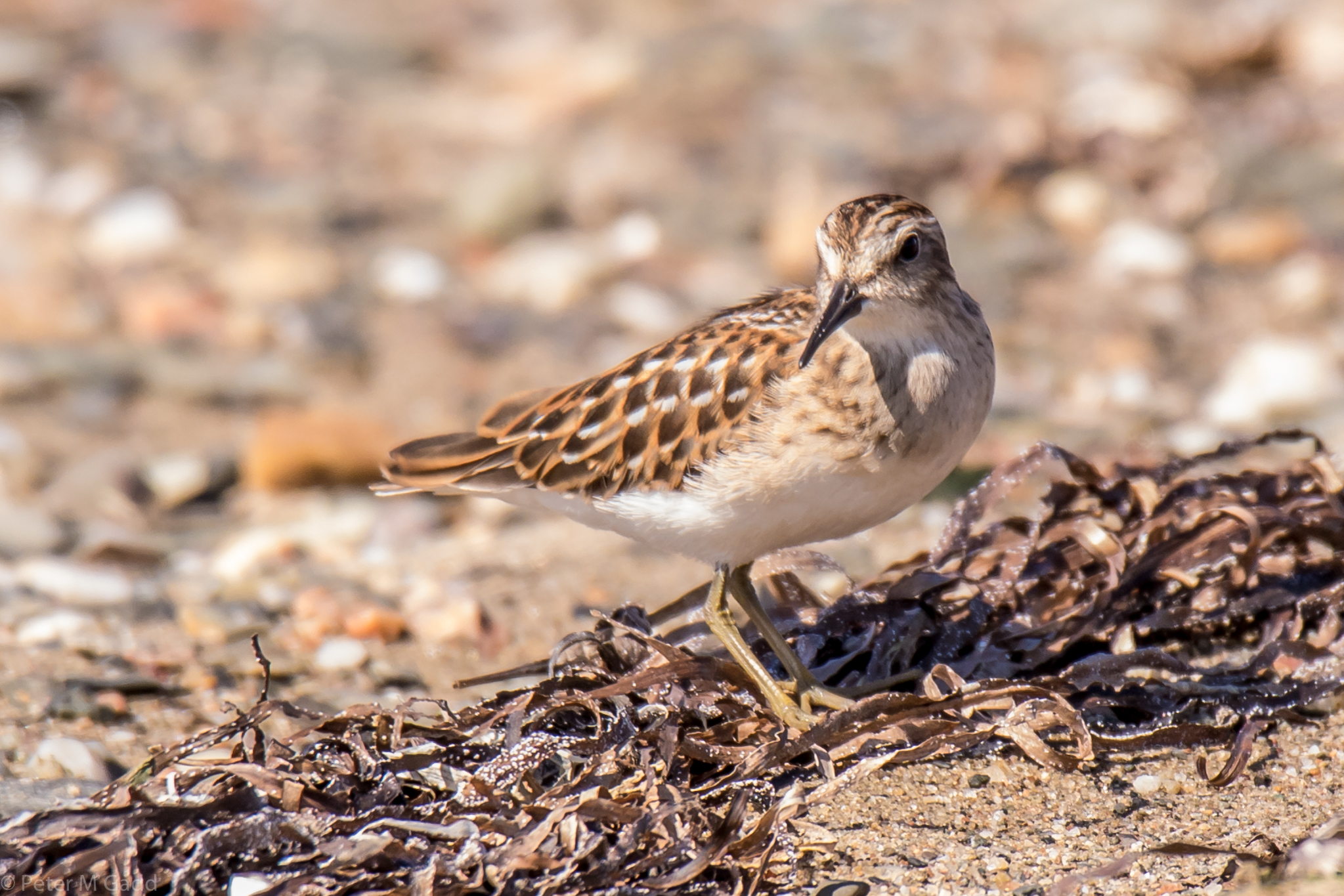
20180829 Least Sandpiper, Hay Island, NB 1

20180928 Semipalmated Plover, Hay Island, NB

20180915 Short-billed Dowitcher, Hay Isl. 5

20180915 Short-billed Dowitcher, Hay Isl. 4

20180829 Lesser Yellowlegs and Least Sandpiper, Hay Island, NB
Topographic Map of Barryville, NB E9G 4J1, Canada
Find elevation by address:

Places near Barryville, NB E9G 4J1, Canada:
New Jersey
NB-11, New Jersey, NB E9G 2K9, Canada
Chemin Drisdelle Settlement, Lagacéville, NB E9G 2N7, Canada
Alnwick
Lagacéville
Village-saint-laurent
NB-11, Village-Saint-Laurent, NB E9G 2J1, Canada
Bartibog Bridge
4 Gum Rd, Bartibog Bridge, NB E1V 7H6, Canada
Lavillette
E9g 2w3
NB-, Lavillette, NB E9G 2P9, Canada
Bayview Dr, New Brunswick E9G 2A8, Canada
Allainville
NB-, Black River Bridge, NB E1N 5K7, Canada
Black River Bridge
Russellville
Williston Lane
Bay Du Vin
E1n 5n6
Recent Searches:
- Elevation of Congressional Dr, Stevensville, MD, USA
- Elevation of Bellview Rd, McLean, VA, USA
- Elevation of Stage Island Rd, Chatham, MA, USA
- Elevation of Shibuya Scramble Crossing, 21 Udagawacho, Shibuya City, Tokyo -, Japan
- Elevation of Jadagoniai, Kaunas District Municipality, Lithuania
- Elevation of Pagonija rock, Kranto 7-oji g. 8"N, Kaunas, Lithuania
- Elevation of Co Rd 87, Jamestown, CO, USA
- Elevation of Tenjo, Cundinamarca, Colombia
- Elevation of Côte-des-Neiges, Montreal, QC H4A 3J6, Canada
- Elevation of Bobcat Dr, Helena, MT, USA